South Crest Trail

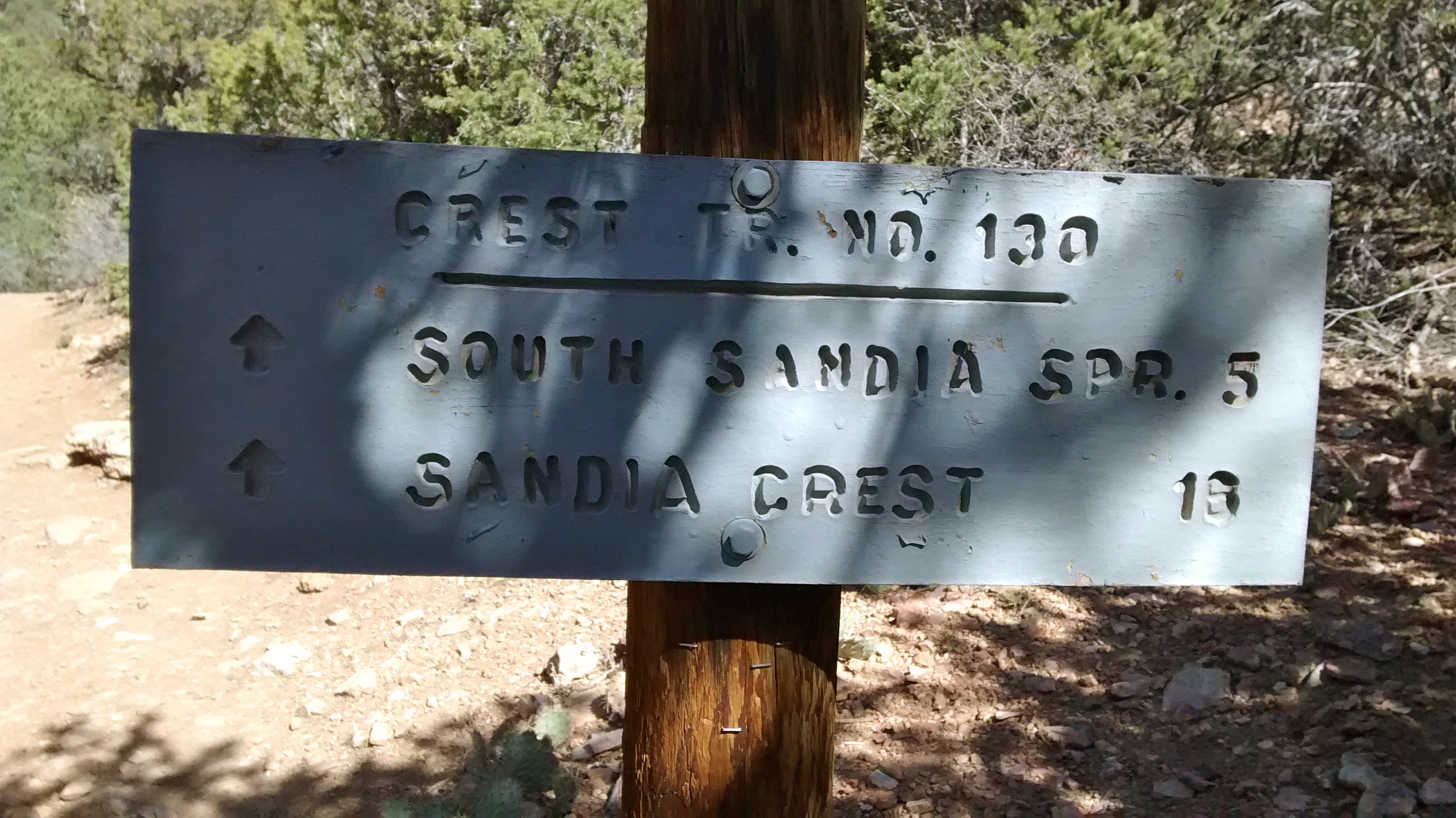
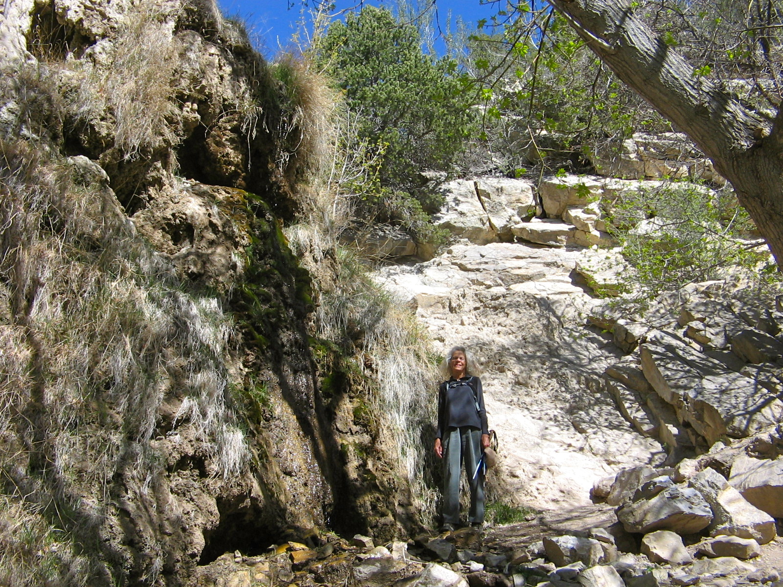
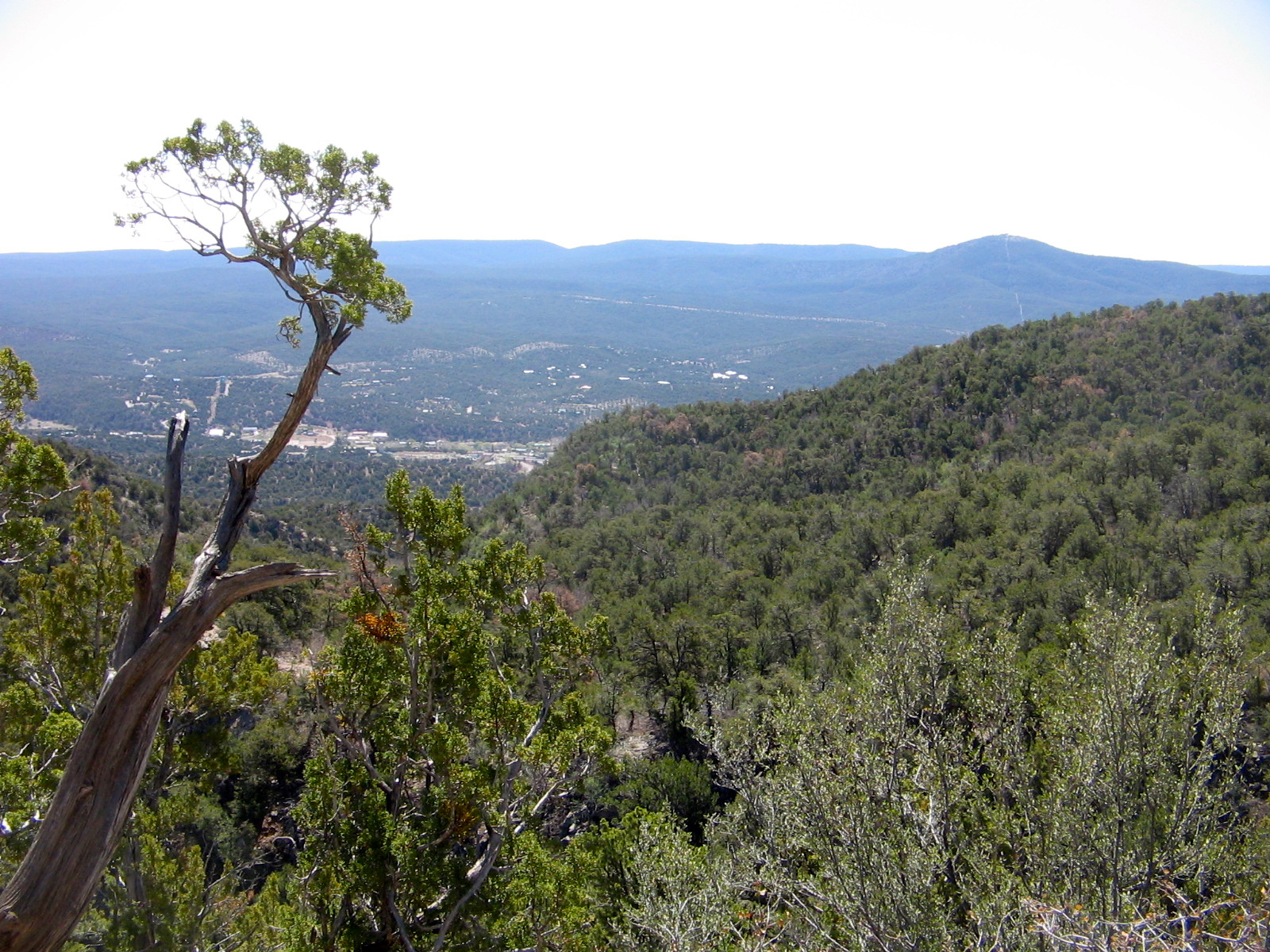
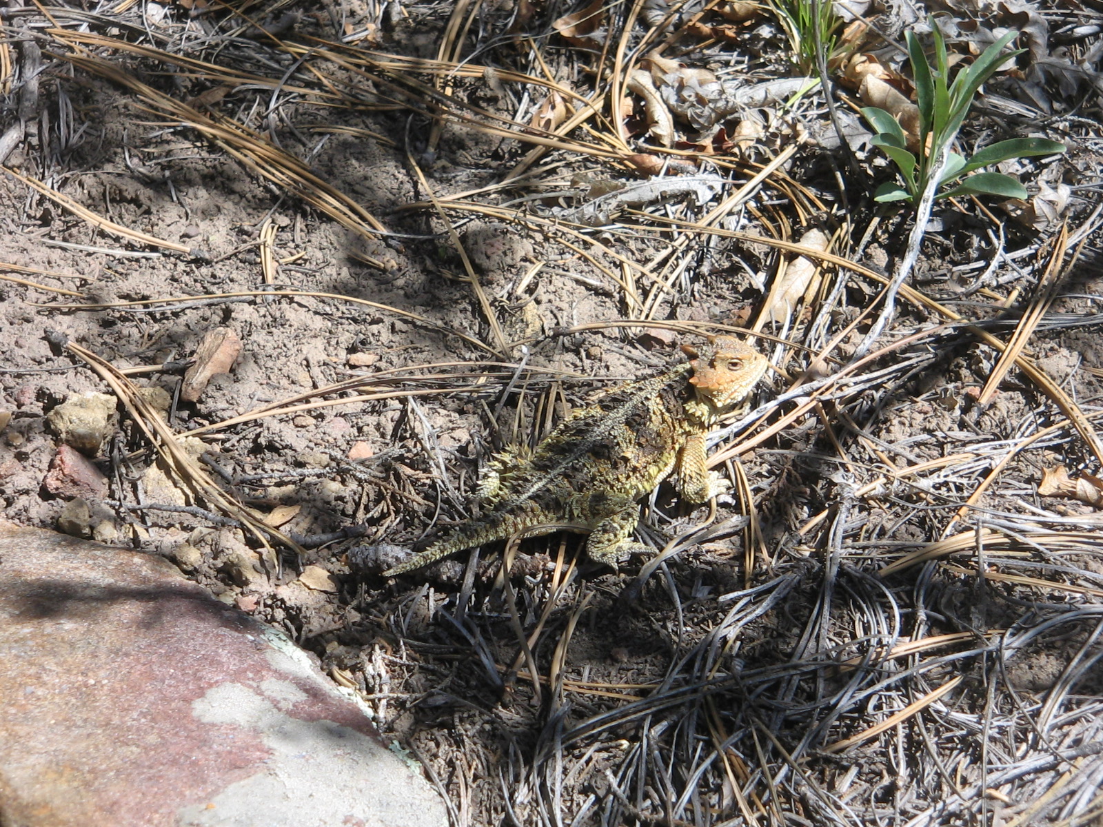
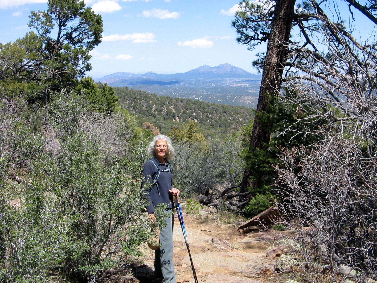
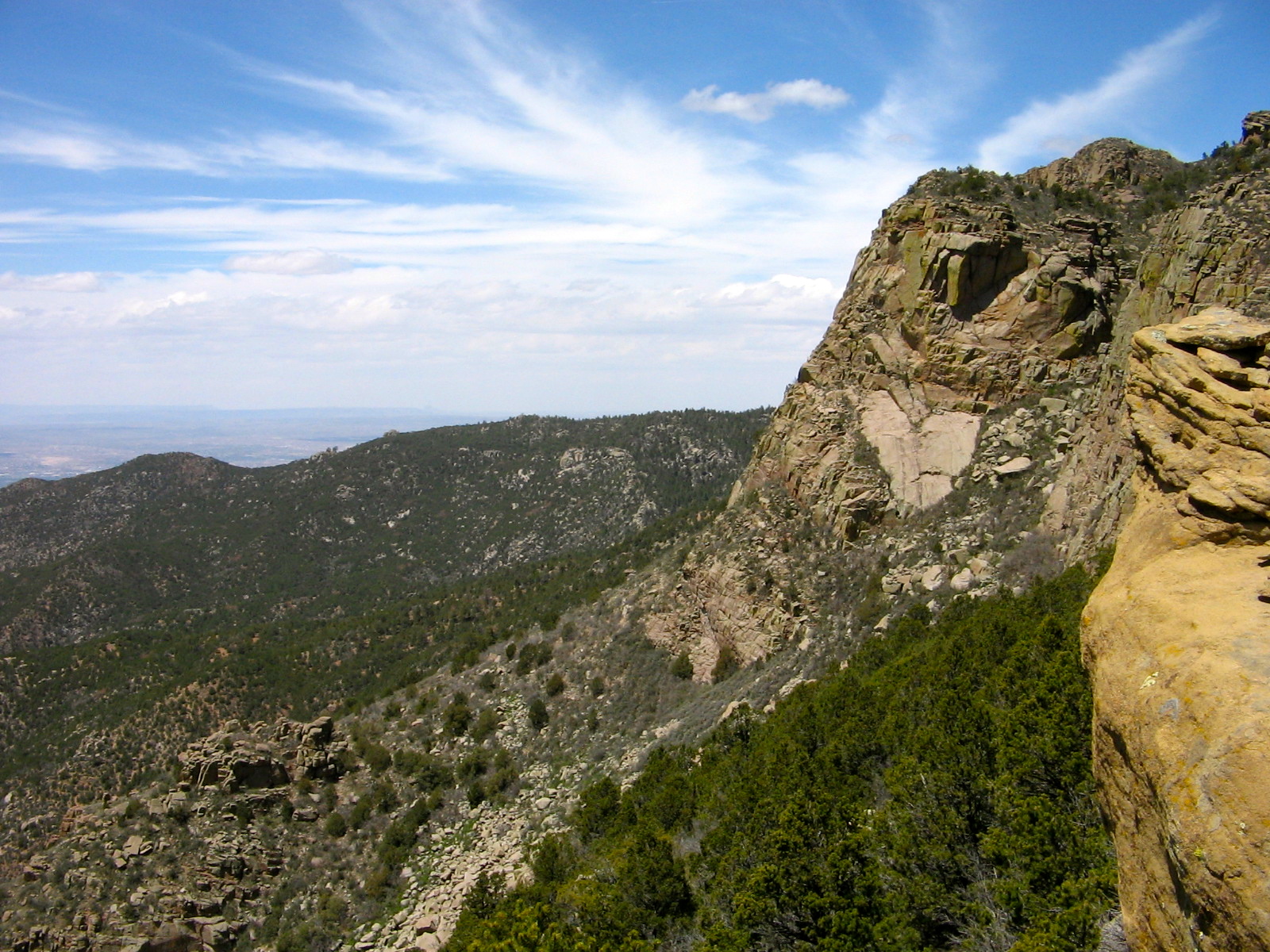
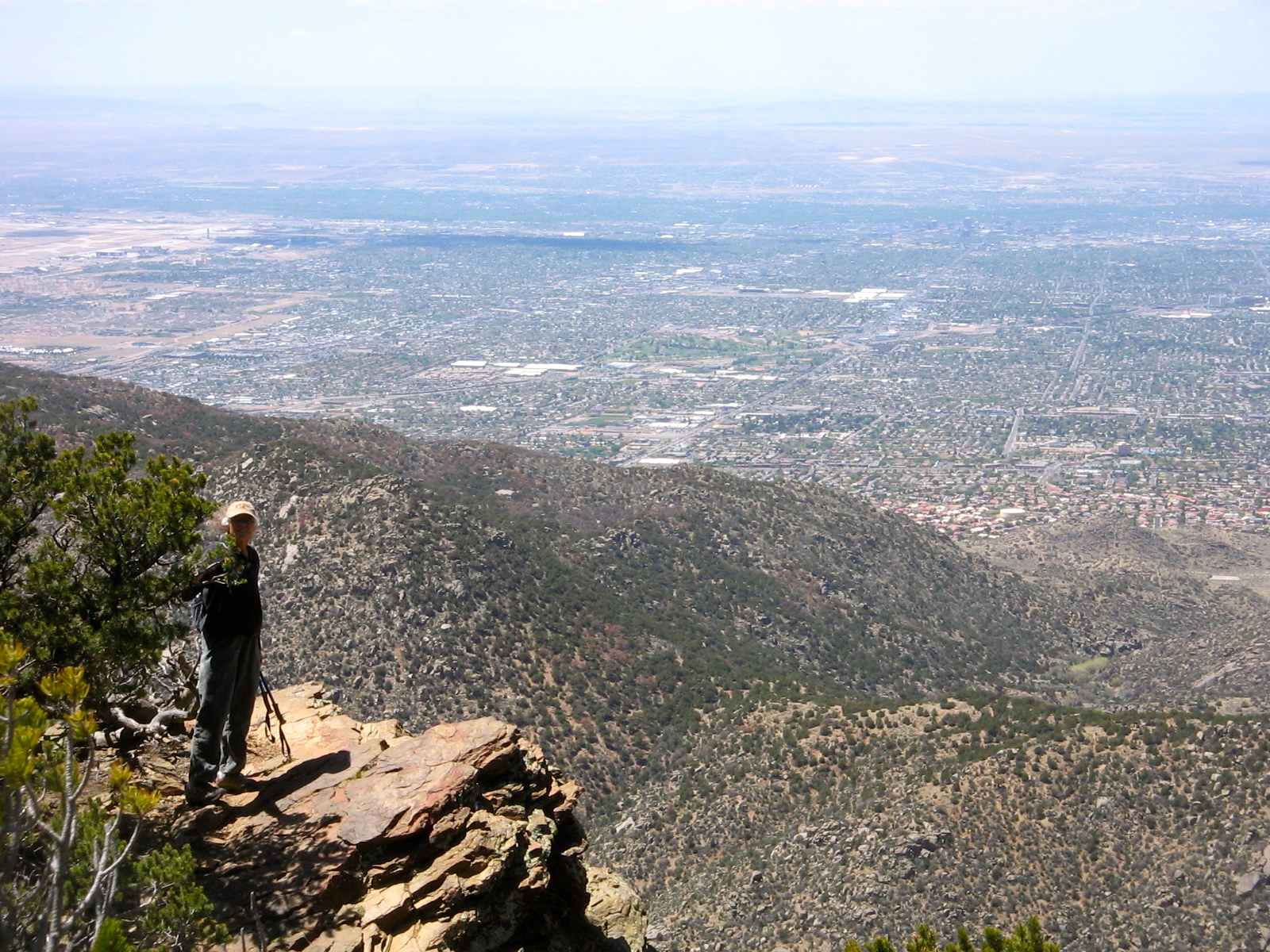
There were probably better days for picture-taking to capture the views of Albuquerque from the South Crest Trail. The afternoon winds kicked up dust and dirt in the desert, making the air too hazy to see very far. But since we hadn’t yet been on this popular trail we got enough pictures to give a sense of the place and didn’t worry too much that they weren’t professional quality photos. After all, most of our photos have that problem.

We went up about 4 miles and came back down.

Rocky ledges
Rocky ledges
Travertine Falls is just a trickle of water.
View towards Tijeras.  Cedro Peak in upper right corner.
View towards Tijeras. Cedro Peak in upper right corner.
Unidentified wildflower.
Look closely to see the Horny Toad.
South Mountain visible to the east.
Below this cliff is the Three Gun Springs Trail.
View to the southwest.
View to the north.
View to the north.
View of Albuquerque.

Author: bjregan

Enjoying retirement activities. Main goals for retirement are to stay spiritually, physically, mentally and emotionally healthy.

3 thoughts on “South Crest Trail”

  1. You went up a lot farther then we did but strange how our mileage is about the same. None of these GPS units seem to agree with each other on distance traveled.

Leave a Reply

Fill in your details below or click an icon to log in:

WordPress.com Logo

You are commenting using your WordPress.com account. Log Out /  Change )

Twitter picture

You are commenting using your Twitter account. Log Out /  Change )

Facebook photo

You are commenting using your Facebook account. Log Out /  Change )

Connecting to %s

%d bloggers like this: