If you were to tell someone that you planned to celebrate your birthday with a getaway to Las Vegas I’m sure they would immediately think you were taking a trip to Las Vegas, Nevada. Lee and I are a couple of weirdos who have a different idea of an enjoyable way to celebrate birthdays in Las Vegas. Our birthdays were on Monday (mine) and Tuesday (Lee’s) this week. With an open schedule for those two days we came up with an idea of a celebration trip to Las Vegas–Las Vegas, New Mexico, that is.
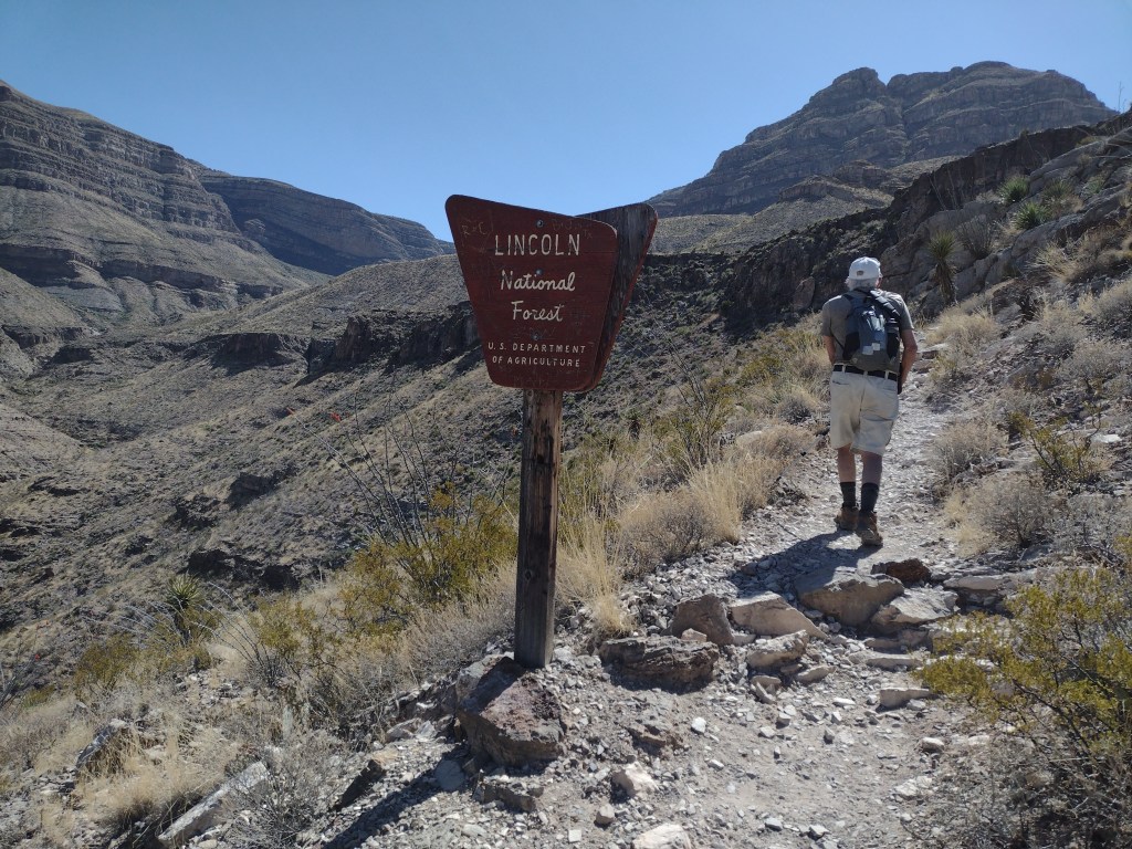
Lee had been wanting to check out the newly opened Sabinoso Wilderness Area that is east of Las Vegas, NM. He suggested that we hike somewhere on the way to Las Vegas Monday, spend Monday night in Las Vegas, and then do a hike at Sabinoso Tuesday before heading back to Albuquerque. It doesn’t take much arm-twisting to convince me to head out of town for an overnight trip.
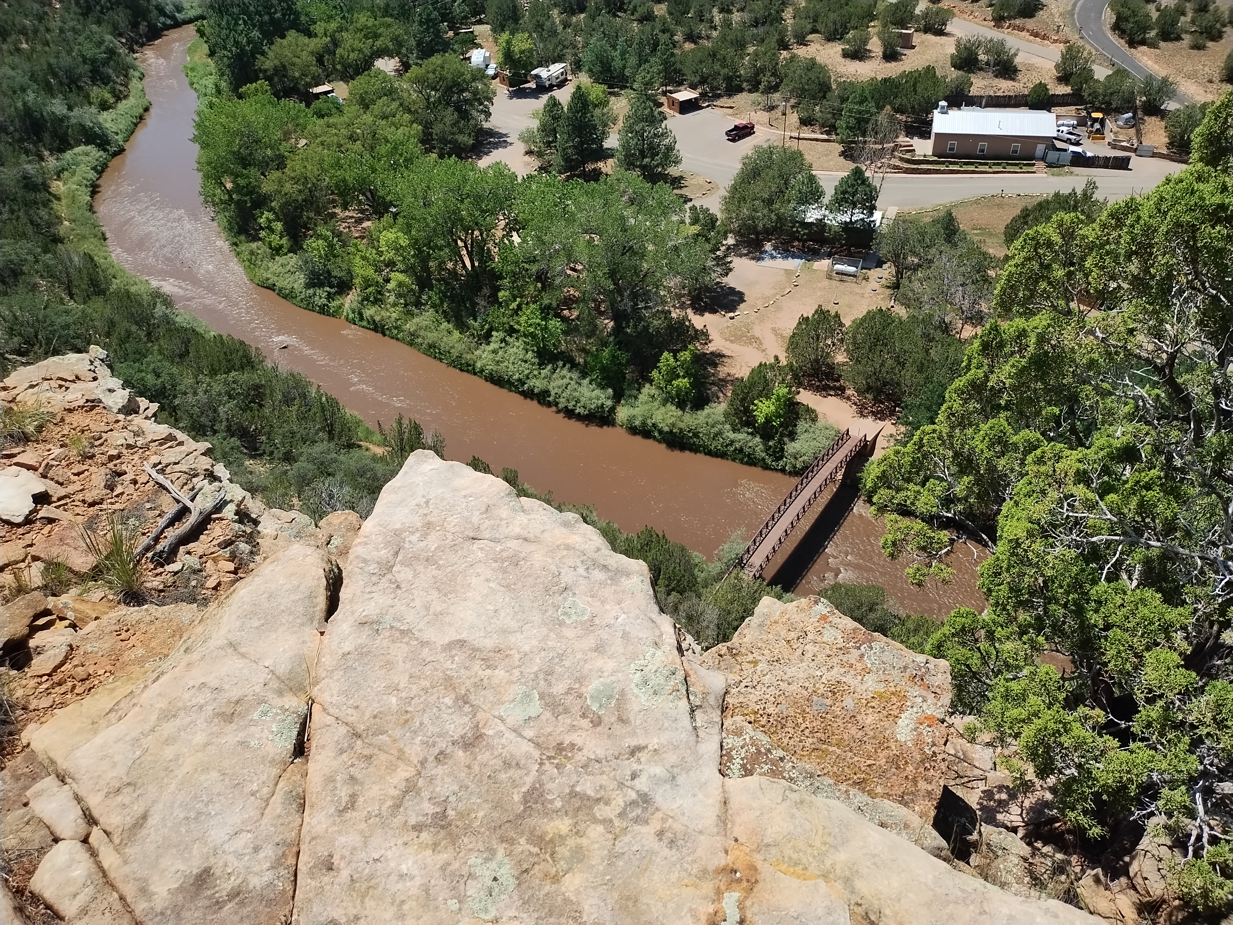
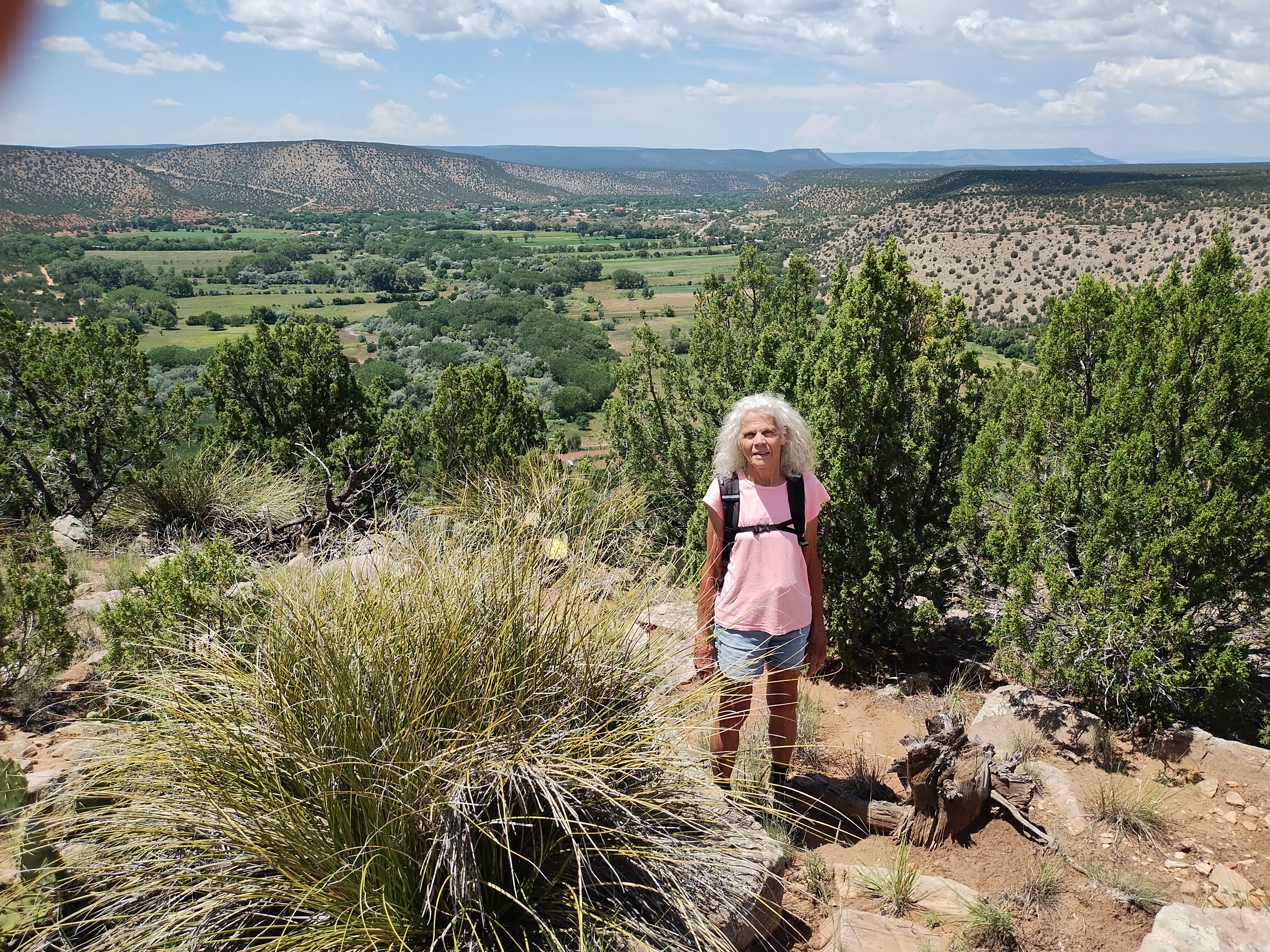
There was one bit of business Monday morning that I needed to take care of that prevented us from getting on the road until 10:30. There are 2 driving options for getting to Las Vegas, the most direct being north on I-25. But it’s almost the same distance to take I-40 east to Hwy 3 and then north. That route passes through Villanueva and by taking that route we were able to stop at Villanueva State Park to eat lunch and do a hike. The late start meant that our hike was in the heat of the day, but the park is on the Pecos River and any proximity to running water makes the heat more bearable.
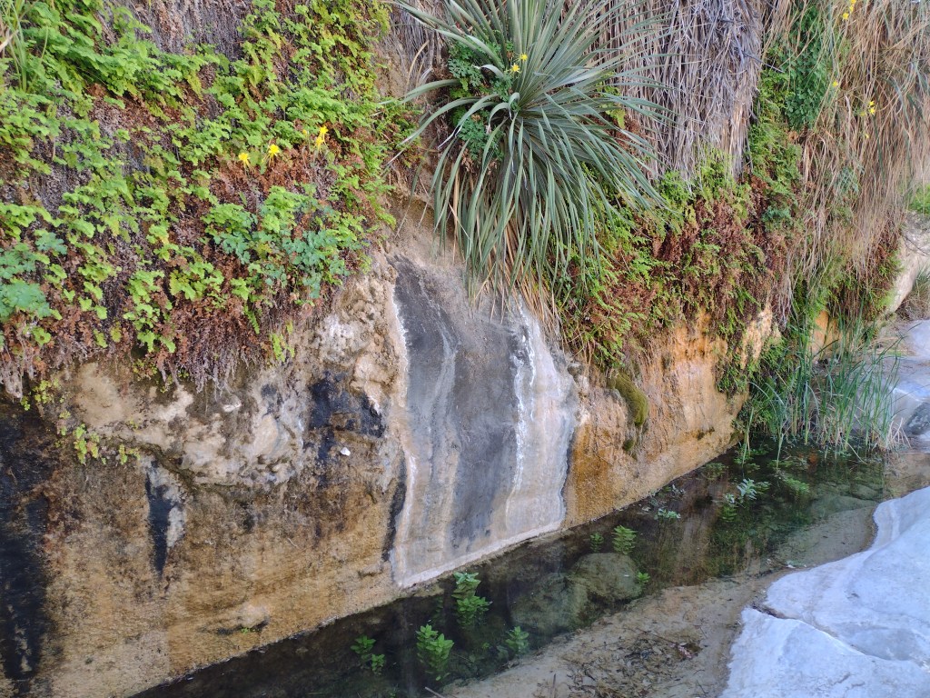
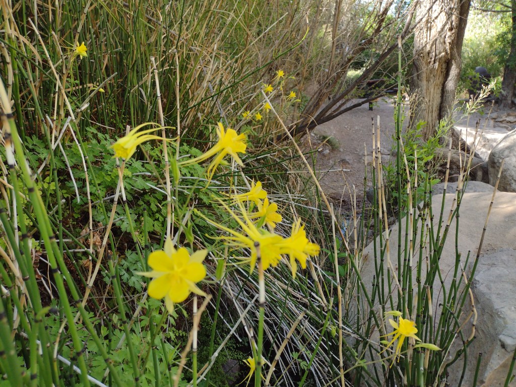
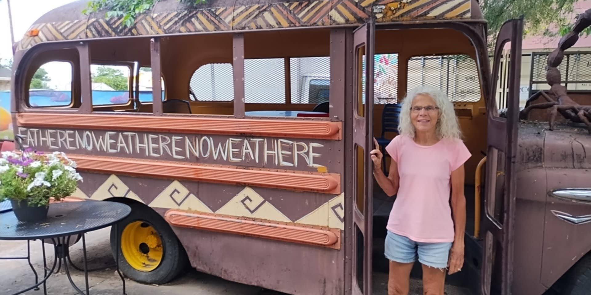
There’s a nice loop trail at Villanueva that crosses the river on a foot bridge and then takes you up the cliffs along the river to some good views of the campground and surrounding farmlands in the river valley. After sweating our way up and down the loop trail we were happy to discover that the Villanueva General Store in the tiny village of Villanueva did indeed offer soft serve ice cream. In my mind, you can’t do a hike in the heat of summer without the reward of ice cream at the end.

After checking into our motel Monday in Las Vegas it was time to decide on dinner plans. Neither one of us likes the task of choosing a restaurant but since it was my birthday, it would be up to me. The easiest is to bring up Google Maps and select the Restaurants option. From past experiences in Las Vegas and from what I could see on Google there wasn’t much to choose from except Mexican restaurants. We both like Mexican food but it seemed we should do something different for a change. The Skillet, billed as “funky outpost serving an array of hearty New Mexican fare alongside burgers and beers” looked interesting. It turned out to be a perfect option, “funky” being an understatement. We were able to sit outdoors, which is always a plus for me and the clientele and surroundings were quite entertaining as we waited for our very delicious dinners.
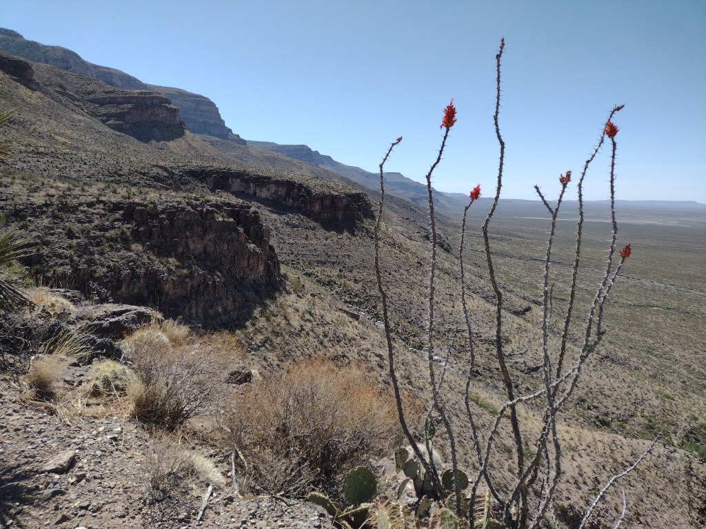
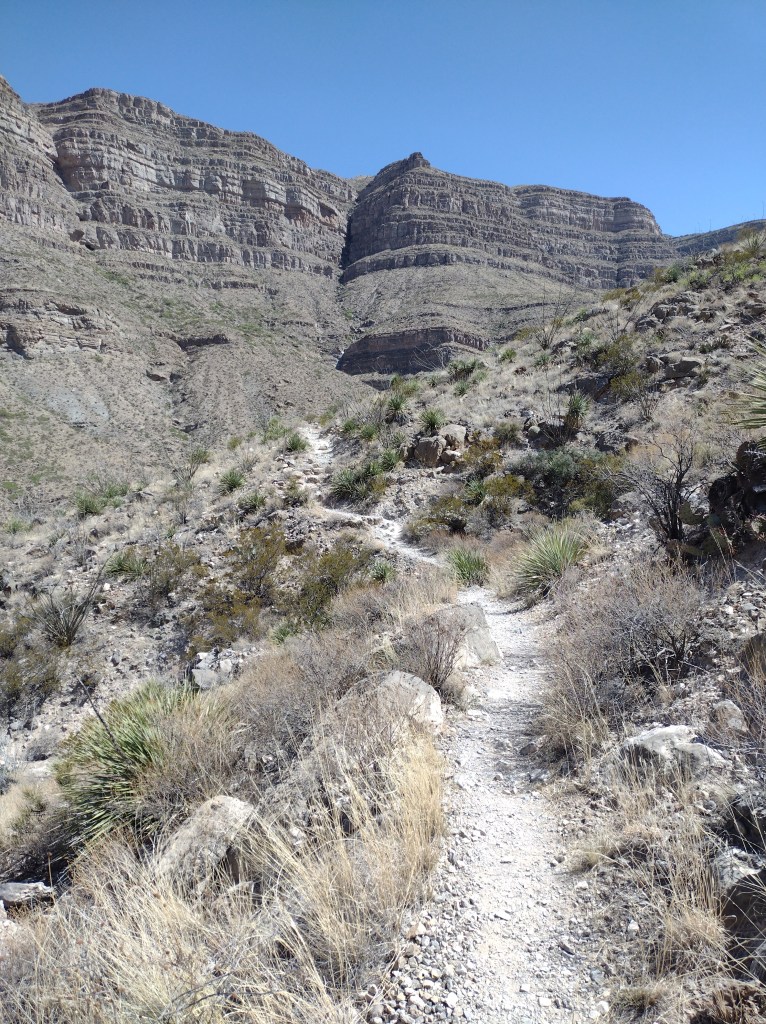
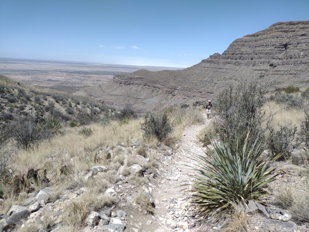
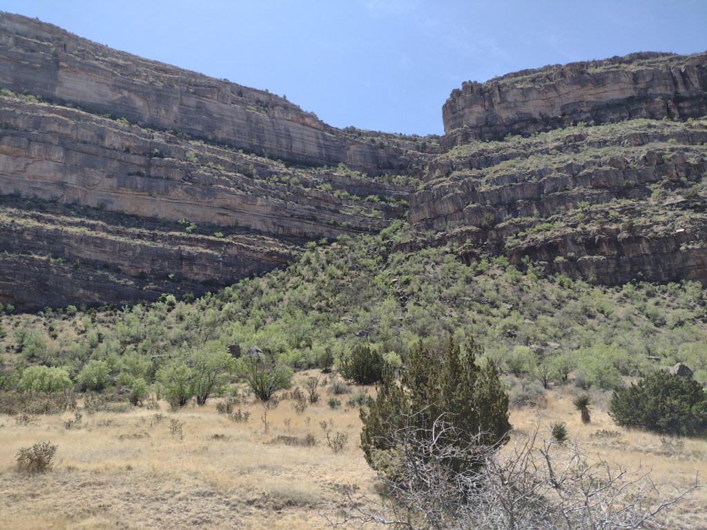
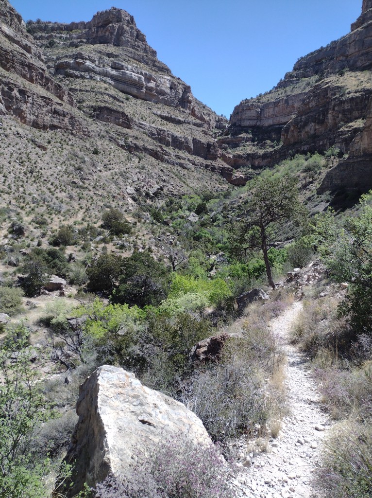
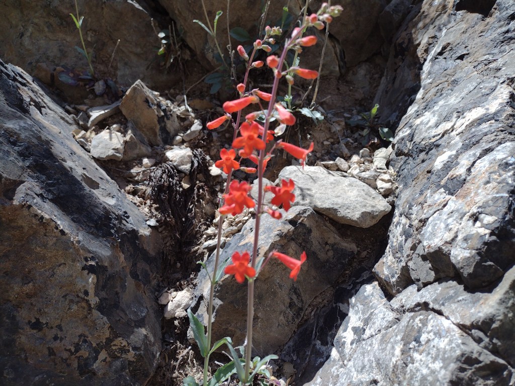
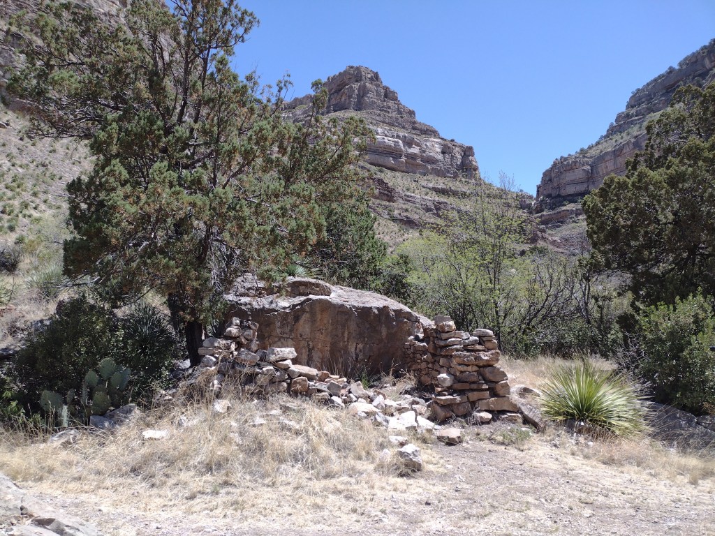
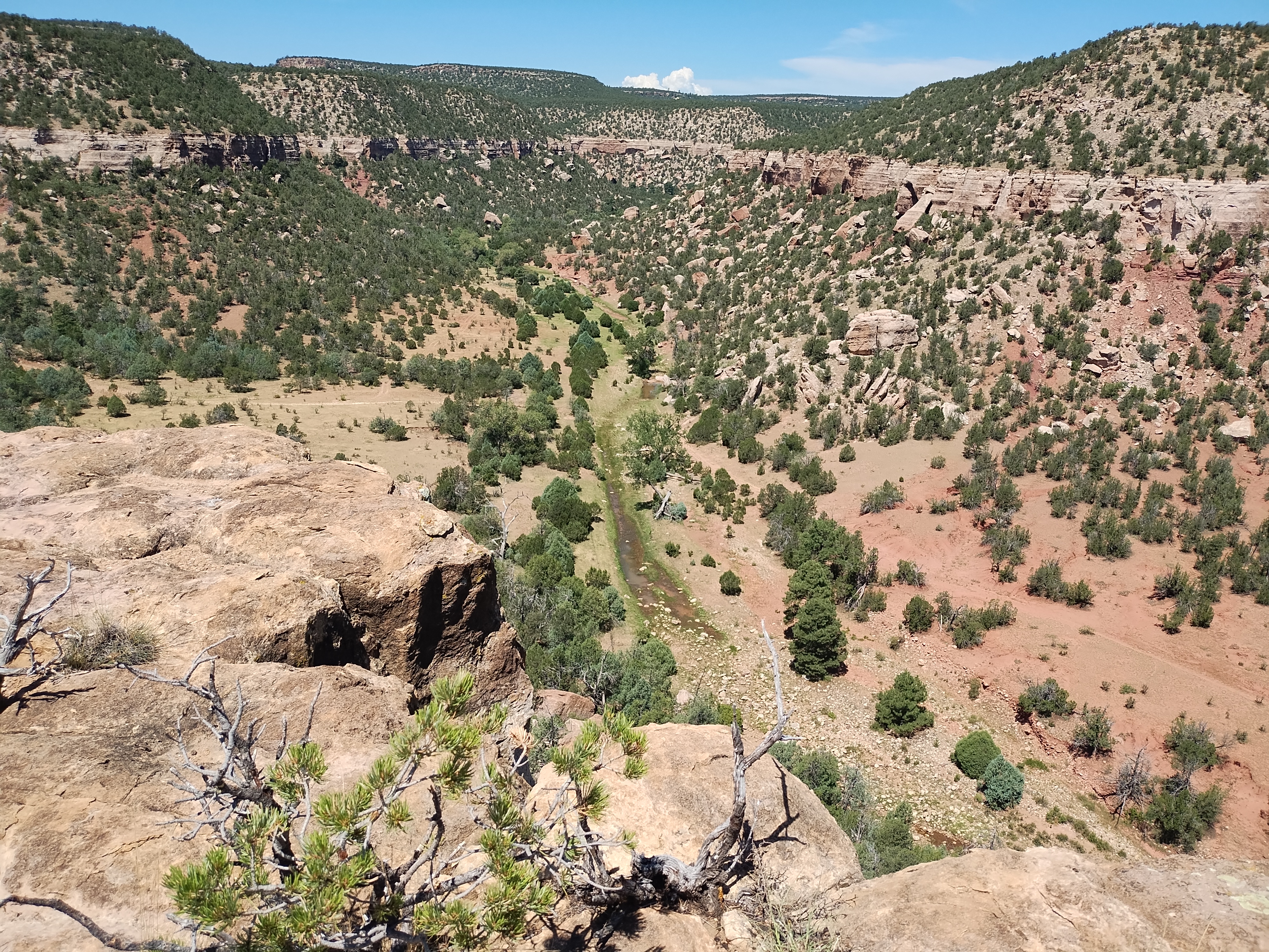
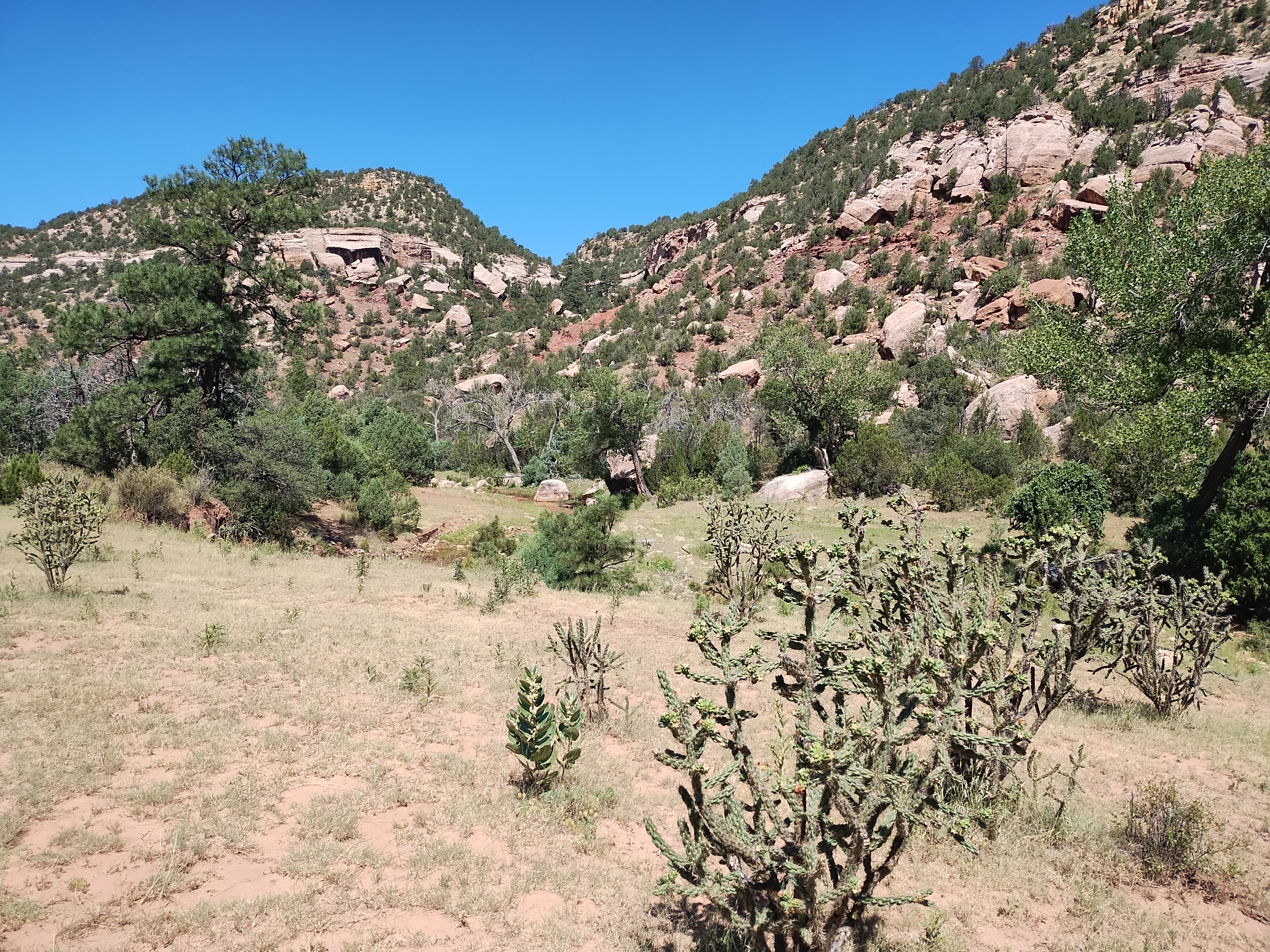
Tuesday’s hike at Sabinoso was another hot one, even though we were able to get an earlier start. As explained on the BLM page there aren’t any established trails there and I didn’t know what to expect. Fortunately, it is very obvious once you drive the rough dirt road that dead ends at the top of Sabinoso Canyon. The road once continued down into the canyon and after parking you see that you can walk down that way to get to the bottom of the canyon. From there you can’t get lost because you follow a stream bed and cow trails that lead you as far back into the canyon as you want to go before turning around. Maybe not the most interesting hike overall but now we can at least say we have been there to see the Sabinoso Wilderness. It is an area only recently opened to the public, and not many other people go there, but that’s a plus in my mind.


Just a few words, in case you wondered about using “weird” to discuss our birthday outing. I have been amused this past week about some news items making fun of our politicians creating a new way to try and insult each other by labeling each other as weird. I, for one, don’t mind being called weird. Who wants to be like the rest of this crazy world, anyway?