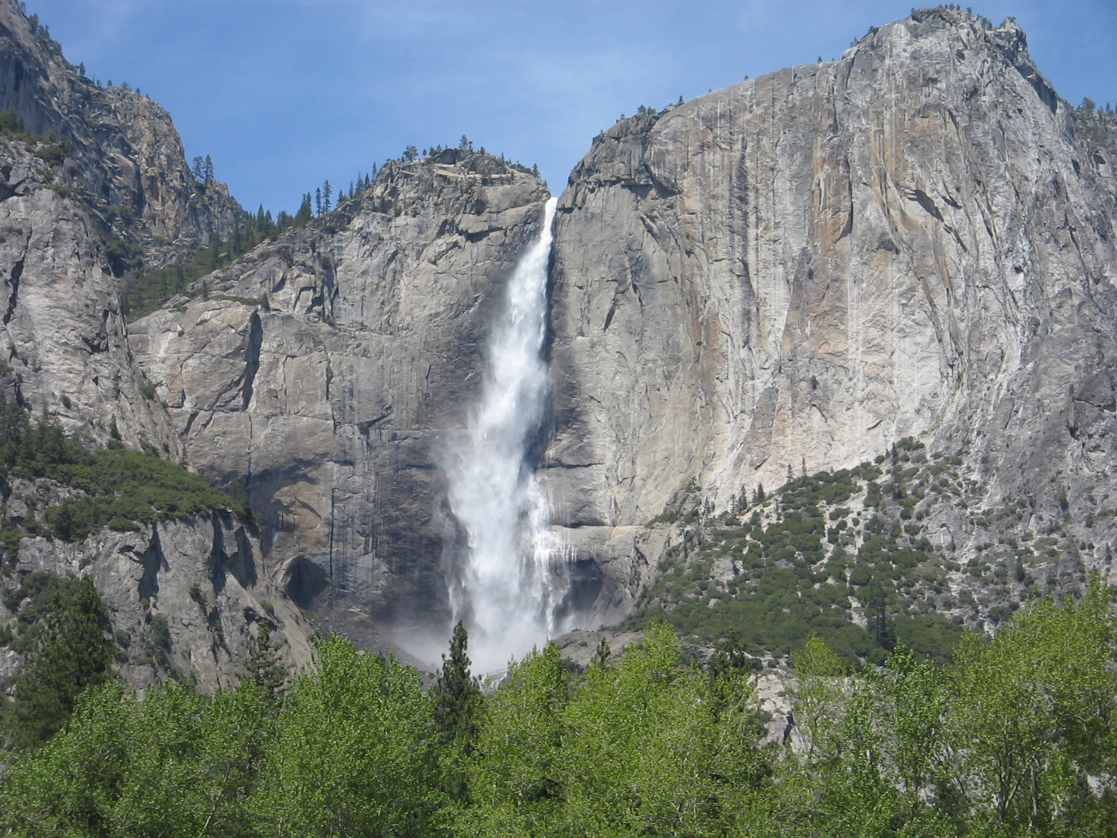
Goodby, Florida.

When we decide to move, we really move! Leaving Florida and heading west, we’ve gone through 3 states in the last 2 days, all in an attempt to find some warmer weather. We are traveling a southern route on I-10 around the Gulf of Mexico. If you look at a map you can see that we have only gone through a small portion of Alabama, Mississippi and Lousiana so it’s not as many miles as it sounds.
Before leaving Florida yesterday we did one last Florida bike ride on the Blackwater Heritage State Trail. North of Pensacola, this is Florida’s westernmost rail-trail. A paved 8-mile section passes through rural areas over several streams and then joins the 1.5-mile Military Heritage Trail that is on Whiting Field US Naval Air Station.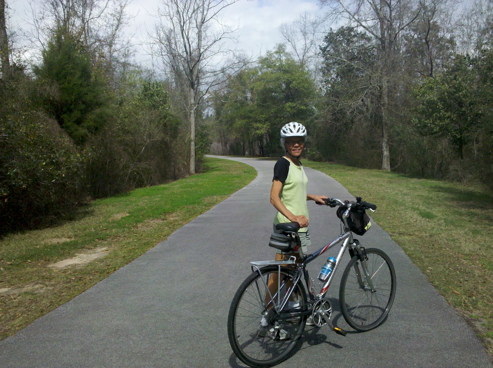
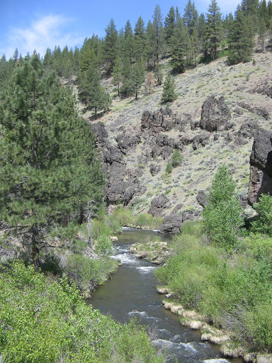
Clear Creek crossing on bike trail.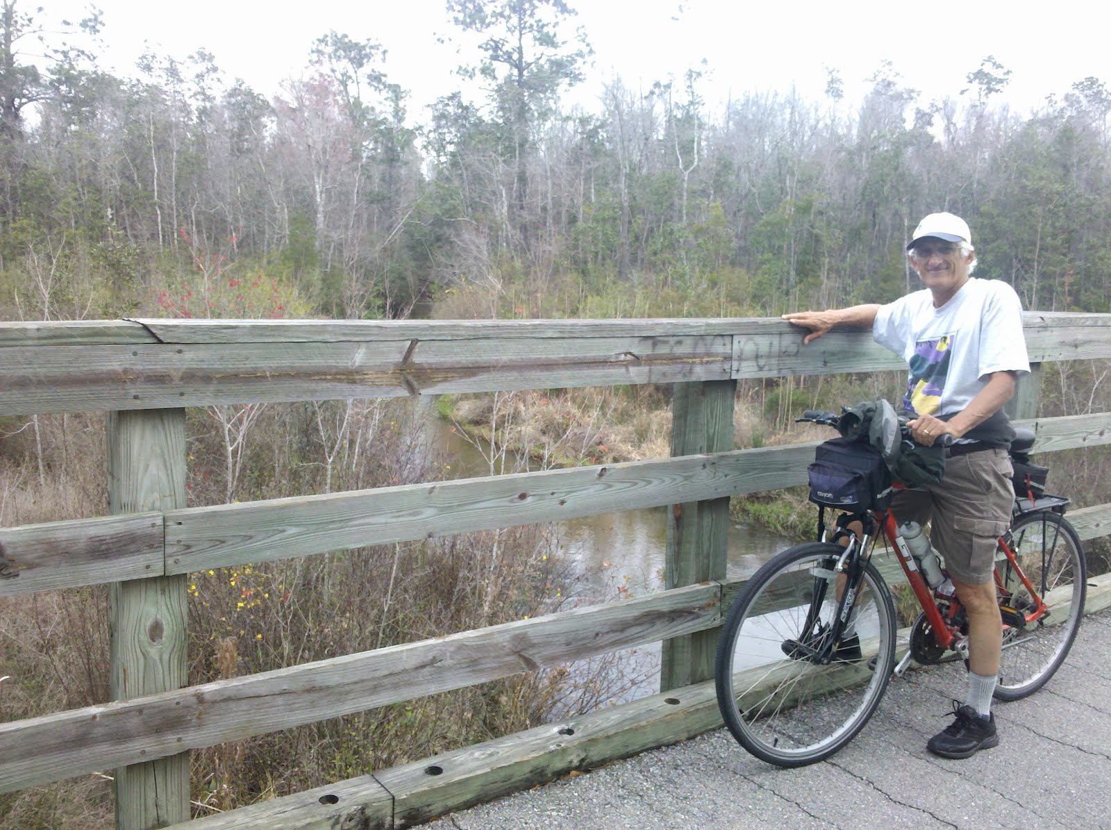
There wasn’t much sun on yesterday’s ride but it was warm enough that we didn’t need jackets. Rain and cooler temperatures were in the forecast but we didn’t realize until today how much cooler it would be. Back to wearing long pants and jackets. Since it wouldn’t be camping weather for the weekend we decided to keep driving west, spending last night in Mobile, Alabama.
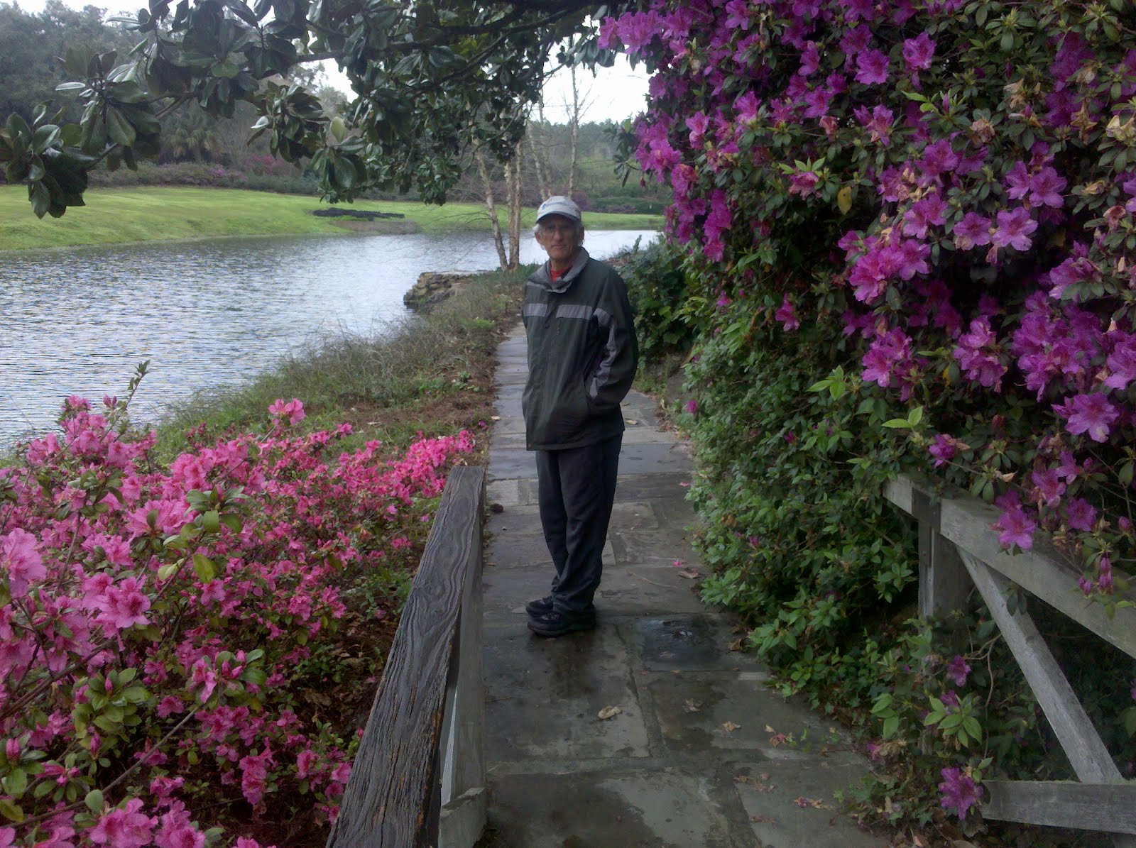
Before leaving Mobile today we made a visit to Bellingrath Gardens, a 65-acre botanical garden and mansion located on the Fowl River in Theodore, a suburb of Mobile. Even in the gray, rainy weather it was a beautiful place to walk through. Because the weather has been mild, the azaleas have bloomed a month early.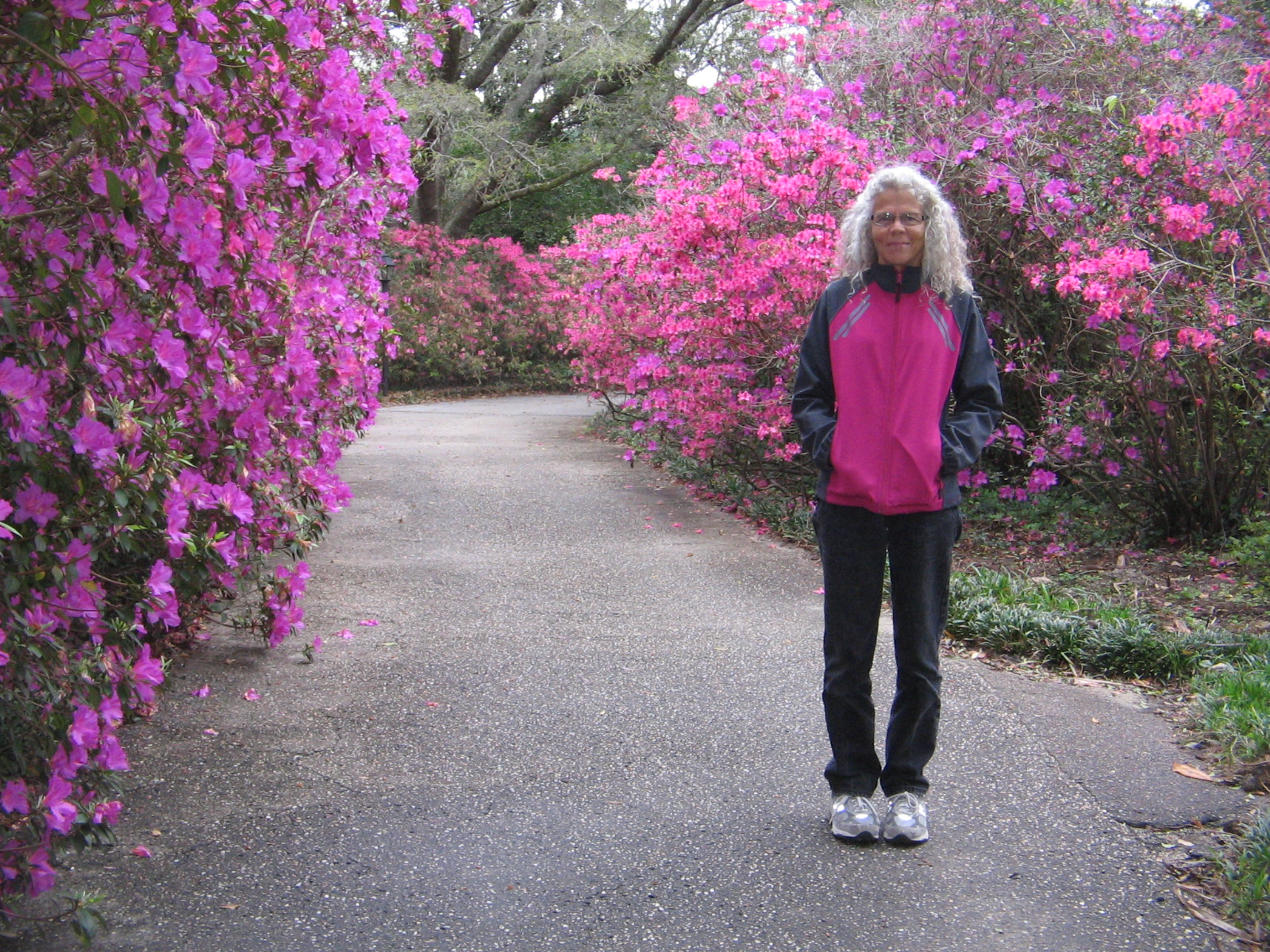
River side boat launch area at Bellingrath
Bayou Boardwalk at Bellingrath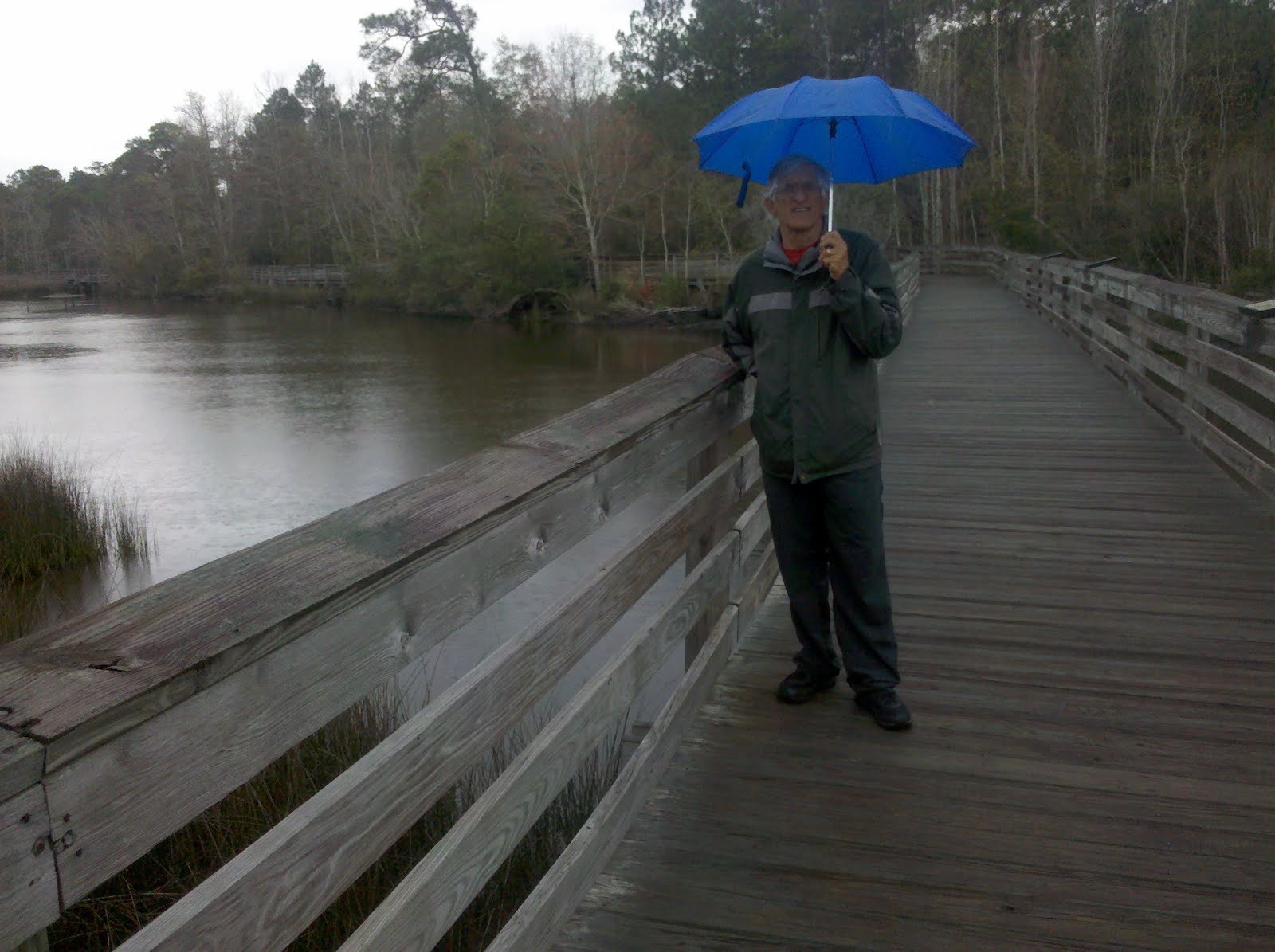
Mirror Lake at Bellingrath
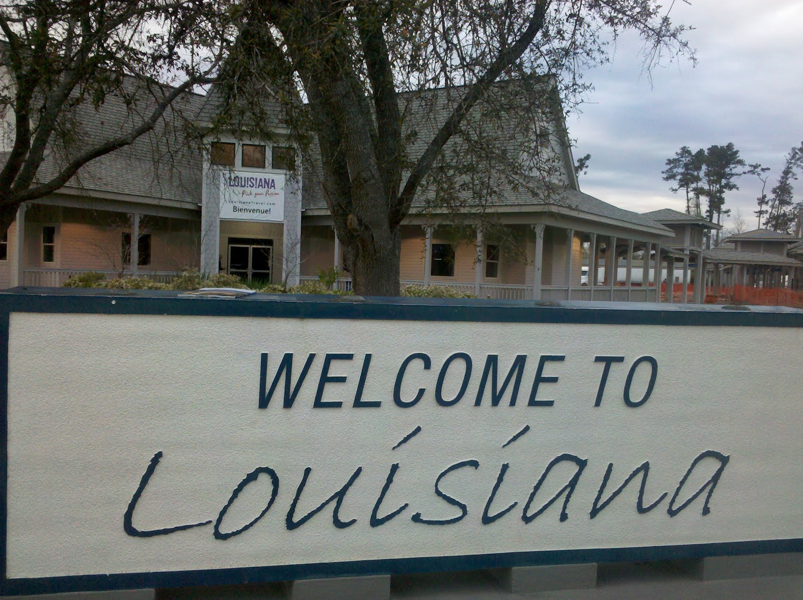
Tonight we are in Slidell, Lousiana, not too far from New Orleans. We haven’t yet decided how long to stay in the area, but are hoping that the rain is finished and in a day or two temperatures may warm up enough again to do some camping.
Looking at maps and brochures of Louisiana, as we plan our activities here, one of the things we learned is that the state has its own distinct lingo. You don’t cross boundaries from one county to another–counties are called parishes. Sometimes you do cross rivers, but other times when you think it’s a river it’s actually called a bayou.
St. Tammany Parish, where we spent the first part of the week, has an interesting historical footnote. It was one of the Spanish-governed West Florida parishes that was not included in the Lousiana Purchase of 1803. In September 1810, residents revolted against Spanish rule and created the Republic of West Florida. The republic lasted 74 days, raising a new flag and electing a president, before being forcibly annexed by the US in December 1810.
Unlike the days that we had spent along the Gulf Coast in Florida, Alabama and Mississippi, the weather this week promised sunny skies, giving us the opportunity to spend some time camping.
For two days we were at Fairview Riverside State Park on the banks of the Tchefuncte River. The nights were quite cold, but since the days were sunny, we enjoyed being able to move our camp chairs to a sunny spot after breakfast and warm ourselves up before beginning the day’s activities.
Boardwalk at Fairview Riverside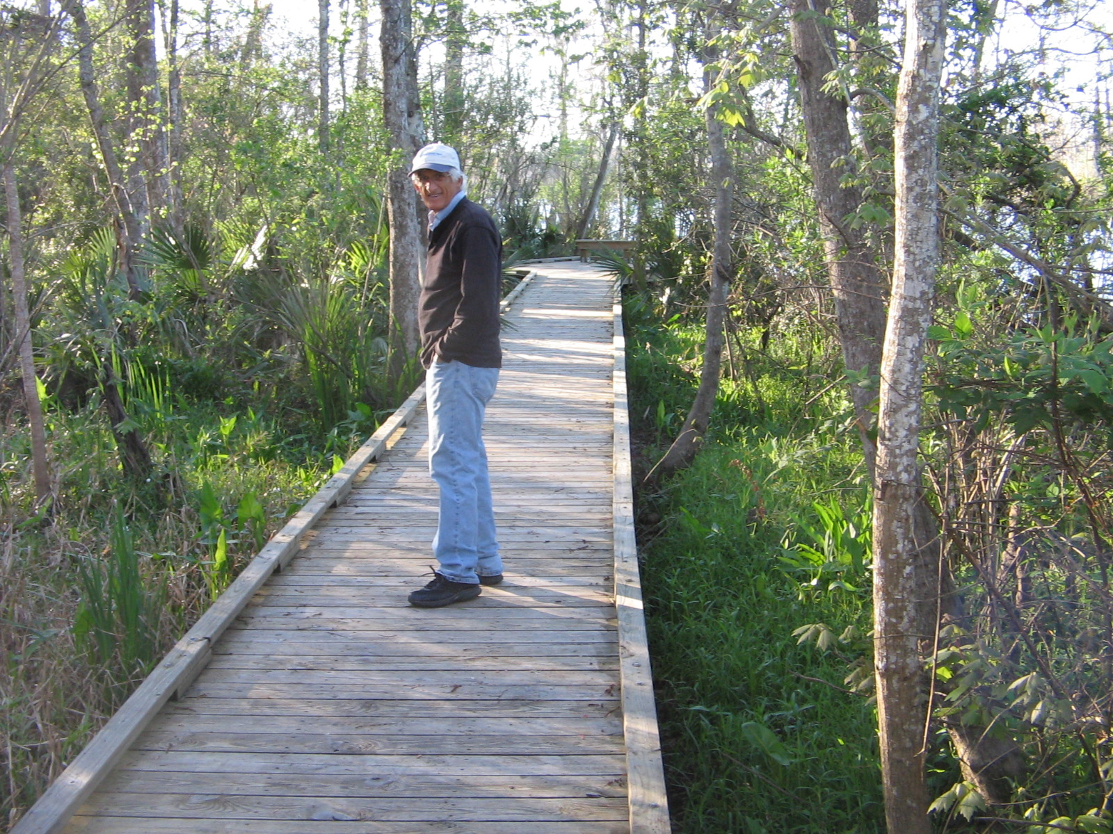
Tchefuncte River at Fairview Riverside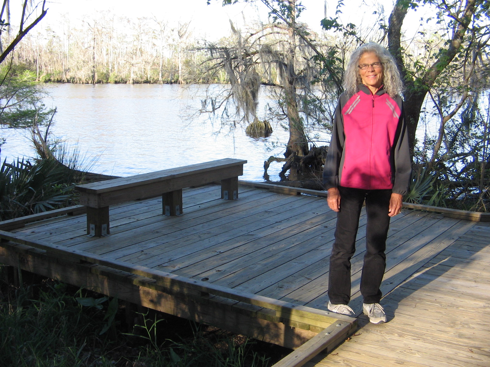
Fairview was a small park, but was a good base camp for doing other activities in the area.
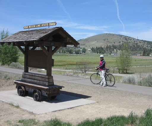
We rode our bikes on the Tammany Trace bike path, doing a north section one day and a south section a second day. The trailhead in the town of Covington has a small park which felt like being in a small Iowa town for RAGBRAI.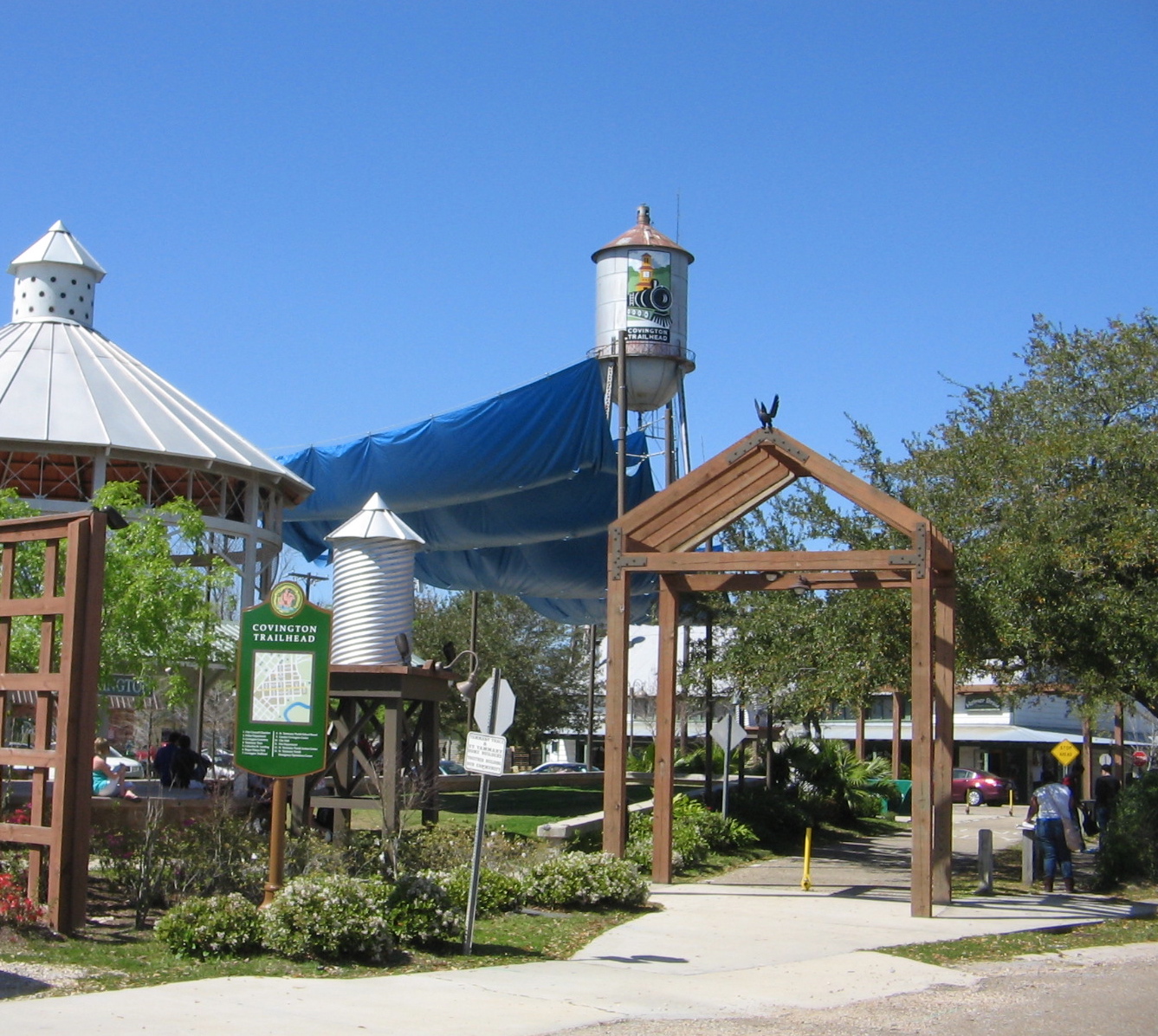
Leaving Covington and crossing Bogue Falaya River
The Trailhead after Covington is another small town, Abita Springs. A pavilion here had a statue and plaque dedicated to the Legend of the Abita Princess.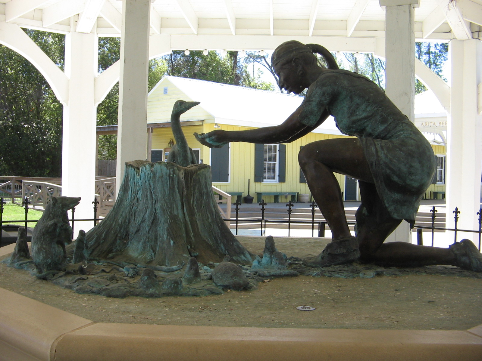
Words on the plaque:
“Many years ago a dying Choctaw princess was brought to drink from a natural spring flowing from a cypress stump and then fully recovered. The healing properties of the Abita Springs have been famous ever since, as Abita Springs remains a favorite destination for those seeking the cool, pure waters and the ozone air of this very special place.”
Cherokee Rose in bloom along Tammany Trace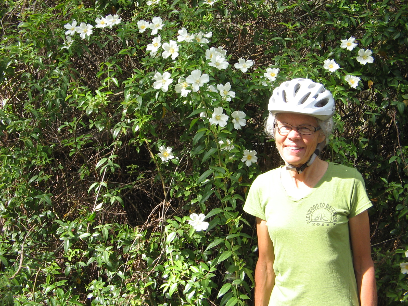
At the Bayou Lacombe Trailhead on the Tammany Trace. This was an interesting stop because the bridge that the bike path crossed was actually a drawbridge–can you believe it, constructing a drawbridge just for a bike path?

Another two days of camping was spent at Tickfaw State Park. Whereas Fairview Riverside was close to an urban area, Tickfaw was way out in the swamps. We were a bit apprehensive about going there because of posted warnings that some of the tent sites were under water. It certainly was a wet area and we had to carefully look at all the sites to find one that wasn’t too muddy or too far from the bathrooms. The first night only one other tent site had campers and the second night we were the only ones in the tent camping area. But it was quiet and peaceful and as long as I didn’t let my mind wander to thoughts of something from the swamp crawling up into the tent at night, it was fine.
Campsite at Tickfaw (it looked better when the tent was set up)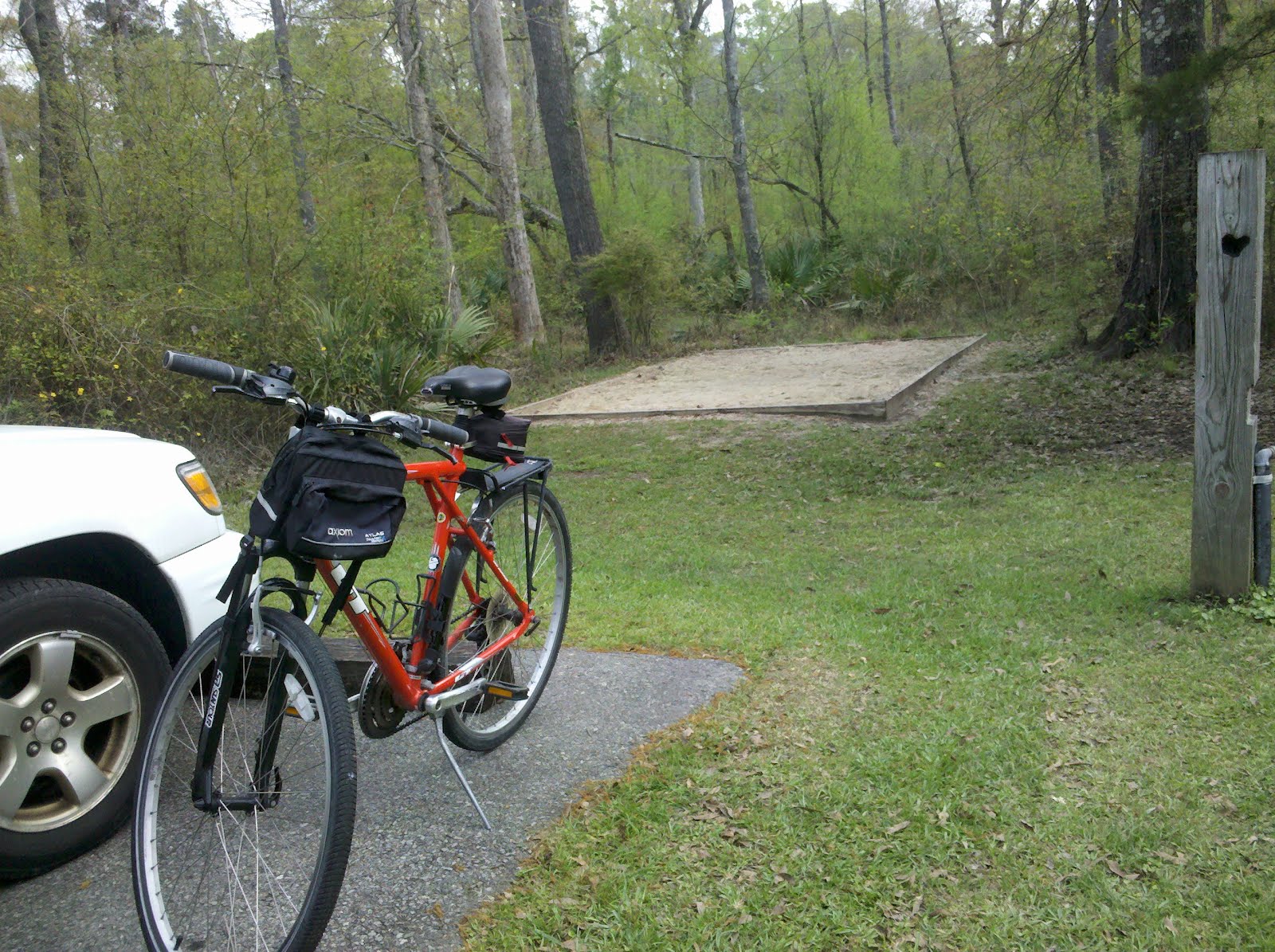
Roadside view driving through Tickfaw
River Trail at Tickfaw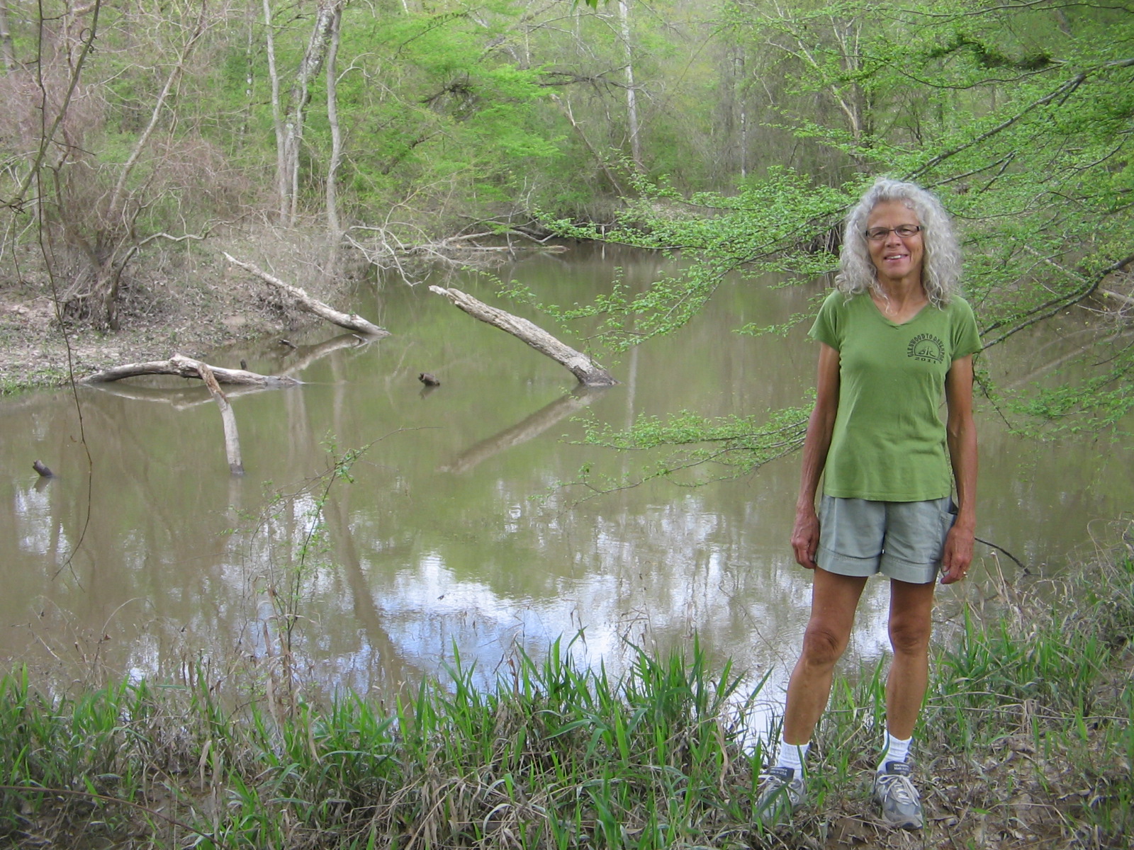
Boardwalk Trail at Tickfaw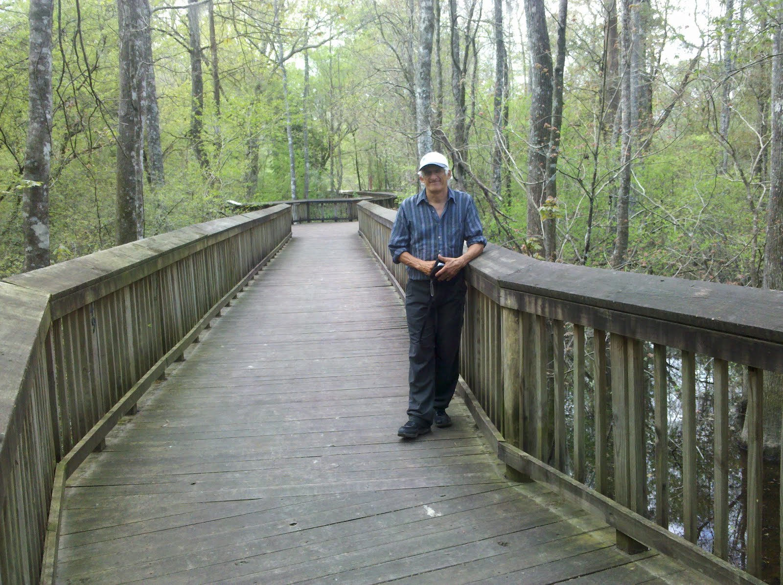
Tickfaw was the base camp for our excursion yesterday into the Big Easy. We couldn’t be this close to New Orleans and not take one day to play tourist.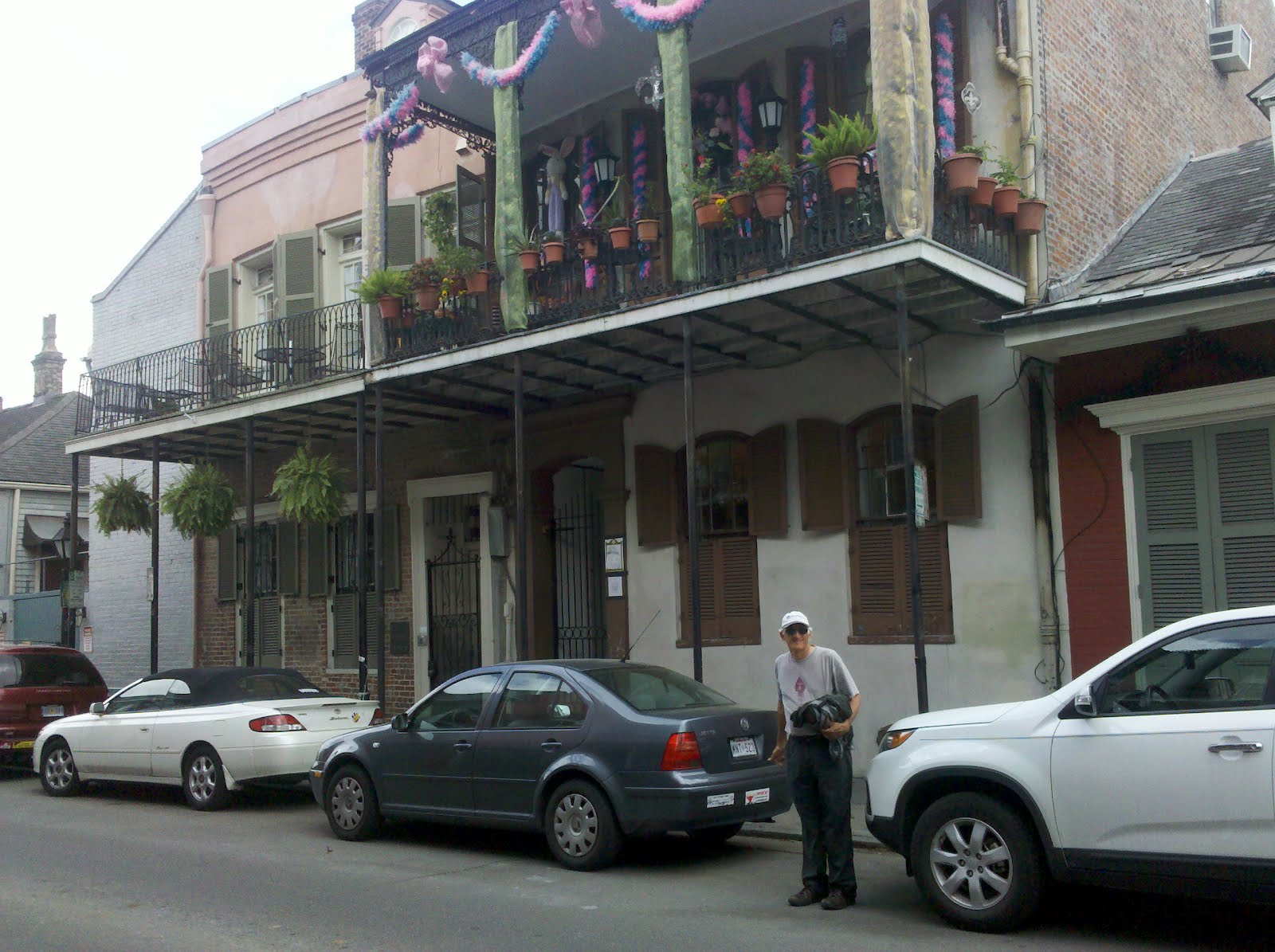
Jackson Square in New Orleans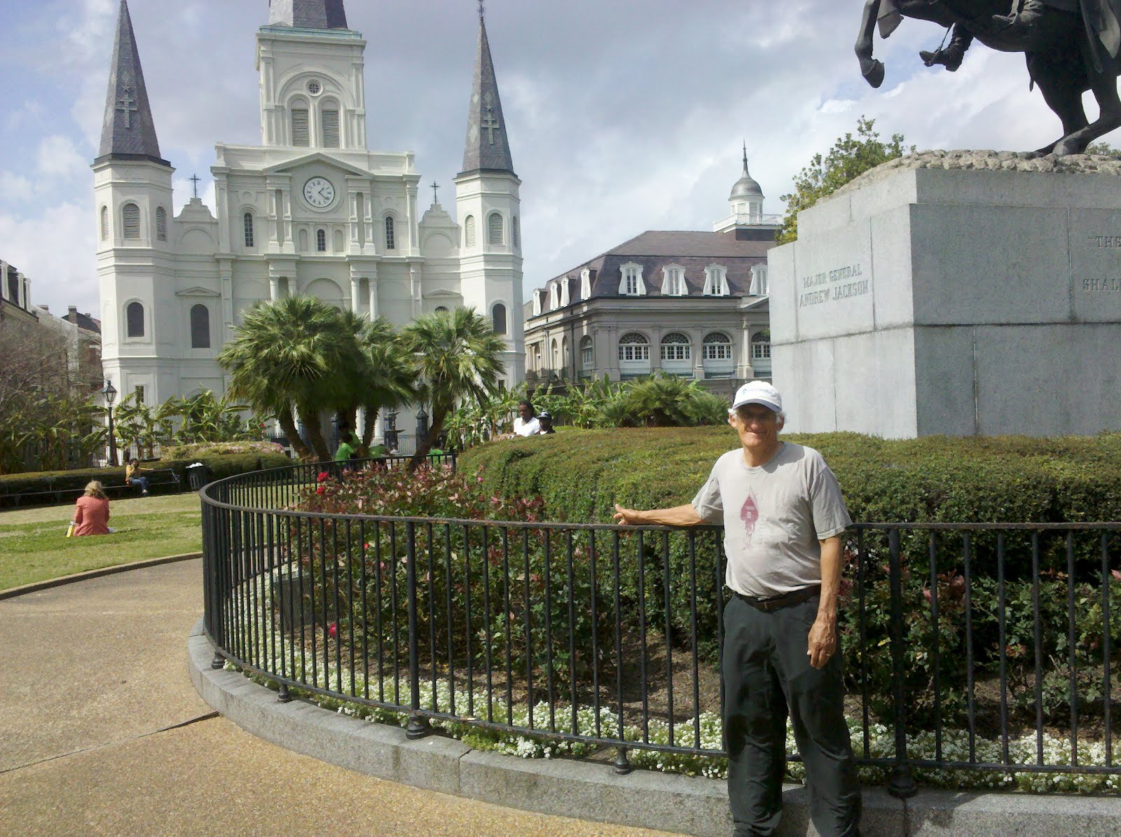
Lunch stop in courtyard of a small eatery on Bourbon Street
Street musicians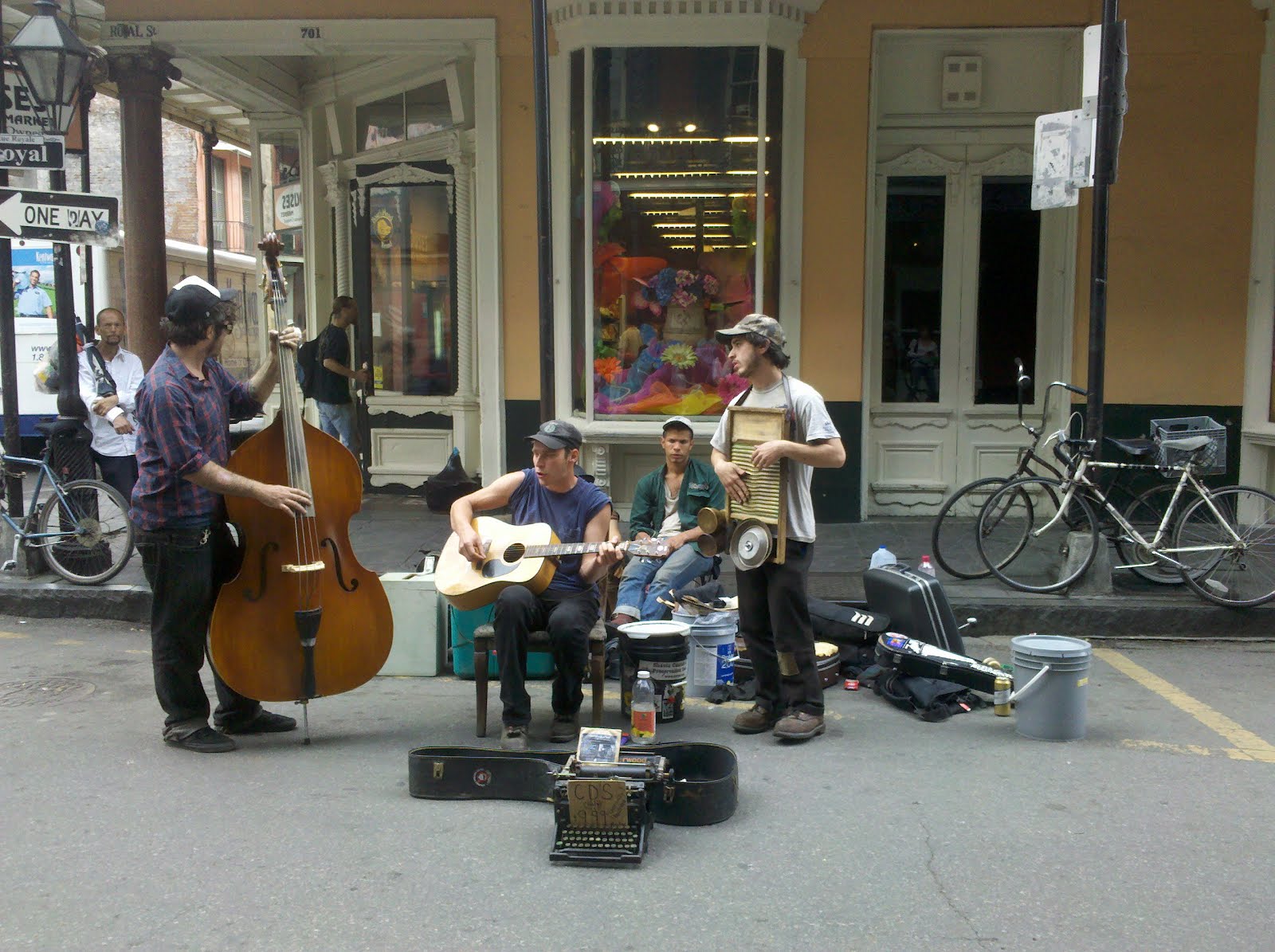
Tonight we are in a motel in Baton Rouge. The weather forecast calls for rain tomorrow so we decided to forgo another day of camping. We now have to decide whether to head west on Interstate 10 into Texas or to go further north exploring other parts of Louisiana before driving into Texas.

Friday was a milestone day, as we left Baton Rouge, heading west, we crossed over the Mississippi River. It’s a big step in our travels to the West to now realize that we have left the east behind us. We opted for a route that avoided Interstate 10, instead going north into Louisiana to Alexandria, then east into Texas spending the night in Huntsville, Texas.
There were a lot of interesting parks and forests along the way that we would have liked to investigate, but with unending rain and highs barely reaching 50 degrees, the only place I wanted to be was warm and dry in the car.
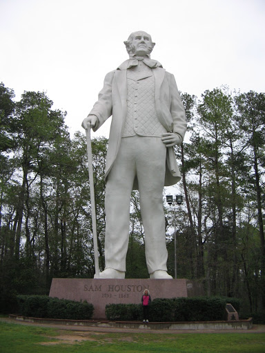
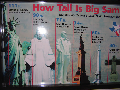
Saturday was another cold, rainy day. We spent just enough time in the morning before leaving Huntsville to check out the town’s famous statue to Sam Houston.
Our goal for Saturday was to reach Austin, Texas, where we had plans for making a one-week stop over. Our previous experiences with one-week stays had lulled us into thinking that we could just show up in a town that had a Value Place hotel and easily find a room for the week. It sure didn’t work that way in Austin. Everything was booked up, it was pouring rain so you could hardly see to drive and the unfamiliar highways had us driving in circles. What we hadn’t realized was that March 9-18 tens of thousands of people from all over the world show up for Austin’s South by Southwest Music Conference and Festival (SXSW).
We finally found a place in the town of Round Rock, north of Austin. Sunday afternoon the skies cleared, giving us the opportunity the last couple of days to see some of the sights in the area.
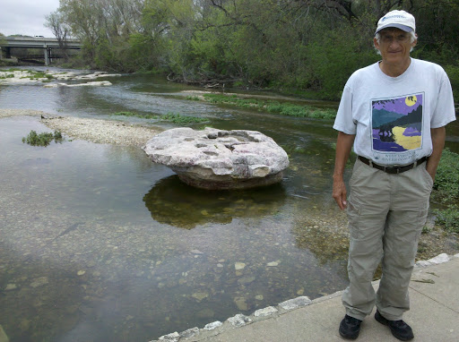
Round Rock has an interesting history from the days when the West was being settled. Its name was derived from the table-shaped stone in the middle of Brushy Creek. Indians and early settlers used the stone as a guide that marked an important low-water wagon crossing. Round Rock was a part of the Chisholm Trail on the route from deep in the south of Texas to cattle markets in Hays, Kansas. Numerous cattle drives, with thousands of longhorns in the herds, passed through Round Rock during the post Civil War period.
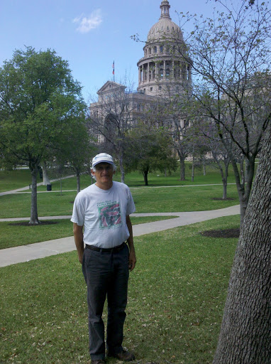
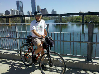
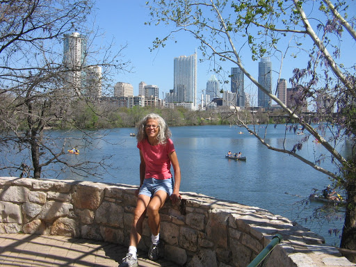
We have taken a couple of drives from our hotel in Round Rock into the downtown area of Austin. We played tourist at the Texas Capitol one day and rode our bikes on the Town Lake Hike and Bike trail another day.
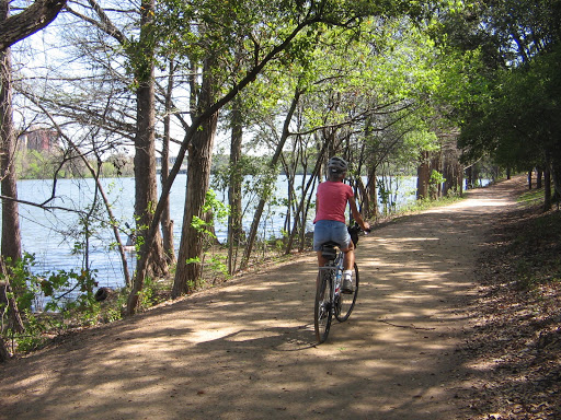
There are also a couple of other bike trails in the surrounding communities that we investigated.
The weather is quite unpredictable so we are trying to balance the outdoor activities with other things. There certainly is a lot going on and we won’t be bored in our time here.
We enjoyed our week stopover in Austin, but checked out of the hotel Saturday and continued our westward progress across Texas. A couple of days before we left Austin, we spent an afternoon sightseeing in nearby San Antonio. After all, one wouldn’t want to leave this part of Texas without a visit to the Alamo.
Besides seeing the Alamo, San Antonio’s famous River Walk is another must see. We checked out restaurants and shops there, selecting a Mexican restaurant as our lunch stop, where my lunch was a plate of delicious tamales.
Along the River Walk in downtown San Antonio
Nueva Bridge dam. Several dams, locks and a flood control tunnel have been built in the San Antonio River Walk area over the years to control the amount of water flowing in the River Walk area.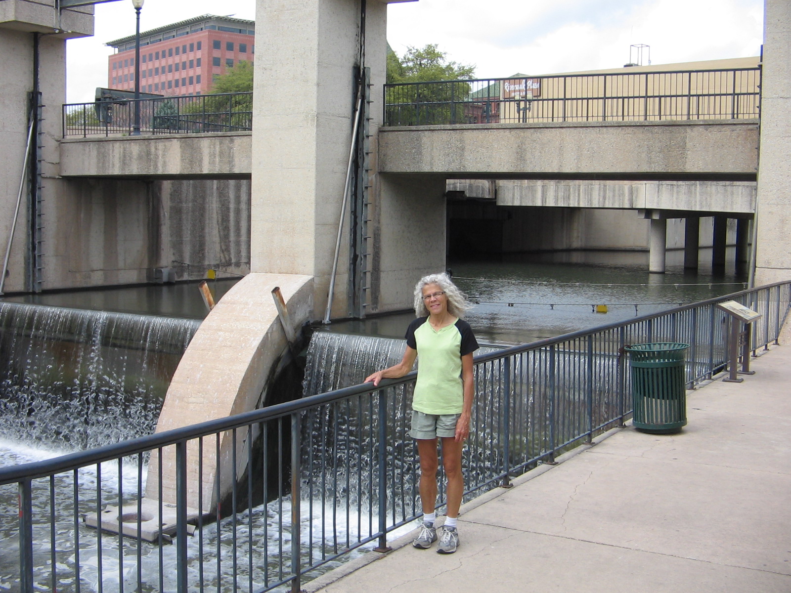
River Walk downstream from Nueva Bridge dam on the way to King William Historic District.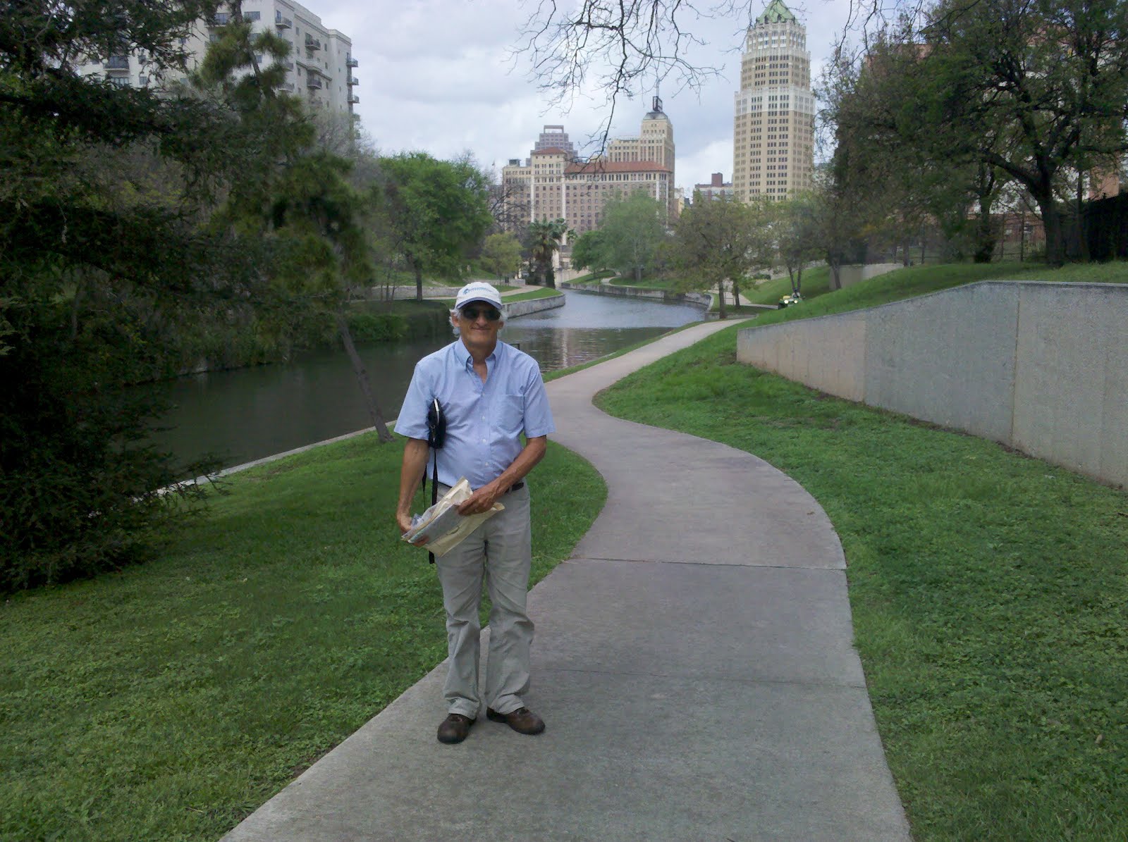
Hemisfair Park with Tower of Americas in background. The park was built when San Antonio hosted the World’s Fair in 1968.
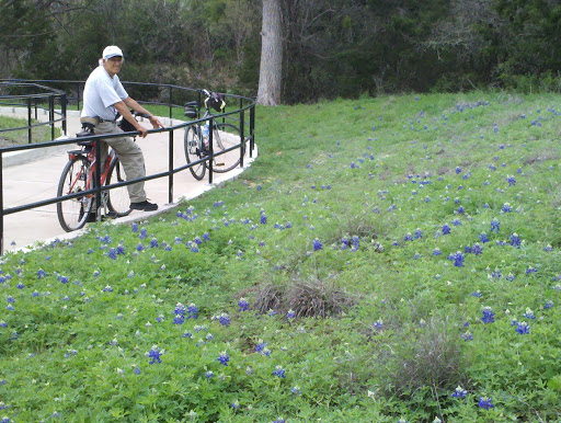
Saturday as we drove west and north out of Austin, our goal was the city of San Angelo. This took us through the heart of what is known as Texas Hill Country. One of the attractions in this area each spring is the abundance of wildflowers that grow along the roadsides. On one of our bike rides in Austin I had enjoyed the beauties of bluebonnets in blossom along the bike trail. But I had no idea what was in store for us on our drive through “The Bluebonnet Capital of Texas.” I have never seen so many wildflowers in my life. I kept thinking each place along the road was the best so far and I just had to tell Lee to stop there so I could get one more photo. Of course, it seemed every time I wanted to stop there was a pickup truck or car right behind us. To prevent a traffic accident we had to wait for another opportunity. As the day progressed we began to see that we weren’t the only ones who were stopped along the road at various places out in a patch of flowers trying to get a good picture. There was just no way to capture all of it but here are a select few.
Roadside Bluebonnets
Winecup with Bluebonnets
Indian Blanket Flower with Bluebonnets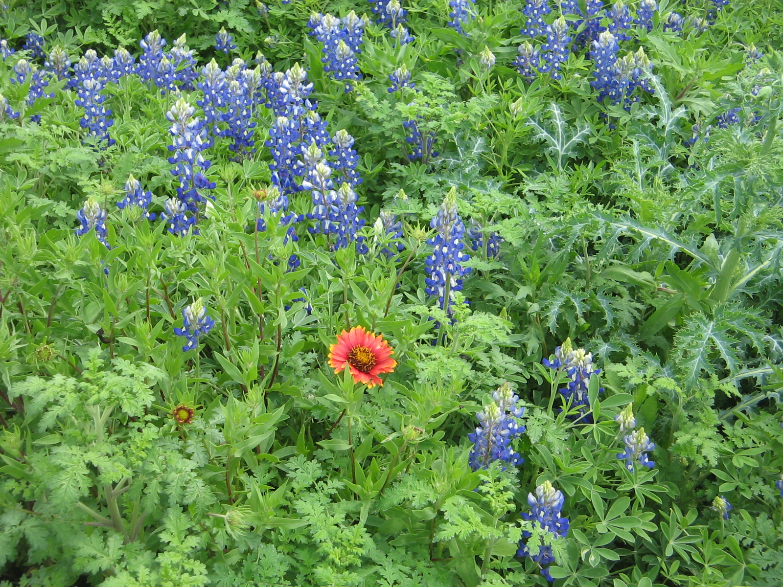
White Prickly Poppy with Bluebonnets
The springtime spectacular that we got to enjoy on our drive to San Angelo was a sharp contrast to our “sightseeing” in San Angelo. We had looked at a map and knew that there were a couple of lakes in the area, the Concho River that flowed through town, and a reservoir outside of town with a state park. We made plans to camp at the state park. What we hadn’t realized was that this part of Texas has not recovered from several years of severe drought conditions. The reservoir at the state park has shrunken to about 1% of it’s original size. The dam that created the reservoir is huge and hovers over the whole state park but there is no water for the dam to control. Ironically, it had been built after a 1936 flood that washed away homes and businesses on both sides of the river. It was completed in 1952 at the latter part of a seven-year drought. Scoffers joked about building a big lake in a place where it never rained. The first and last time that the lake filled was in 1957, after a tropical depression stuck over Texas, caused statewide flooding. Sadly, its current state of dryness is not the first time that it has dried out.
Climbing the side of the dam at San Angelo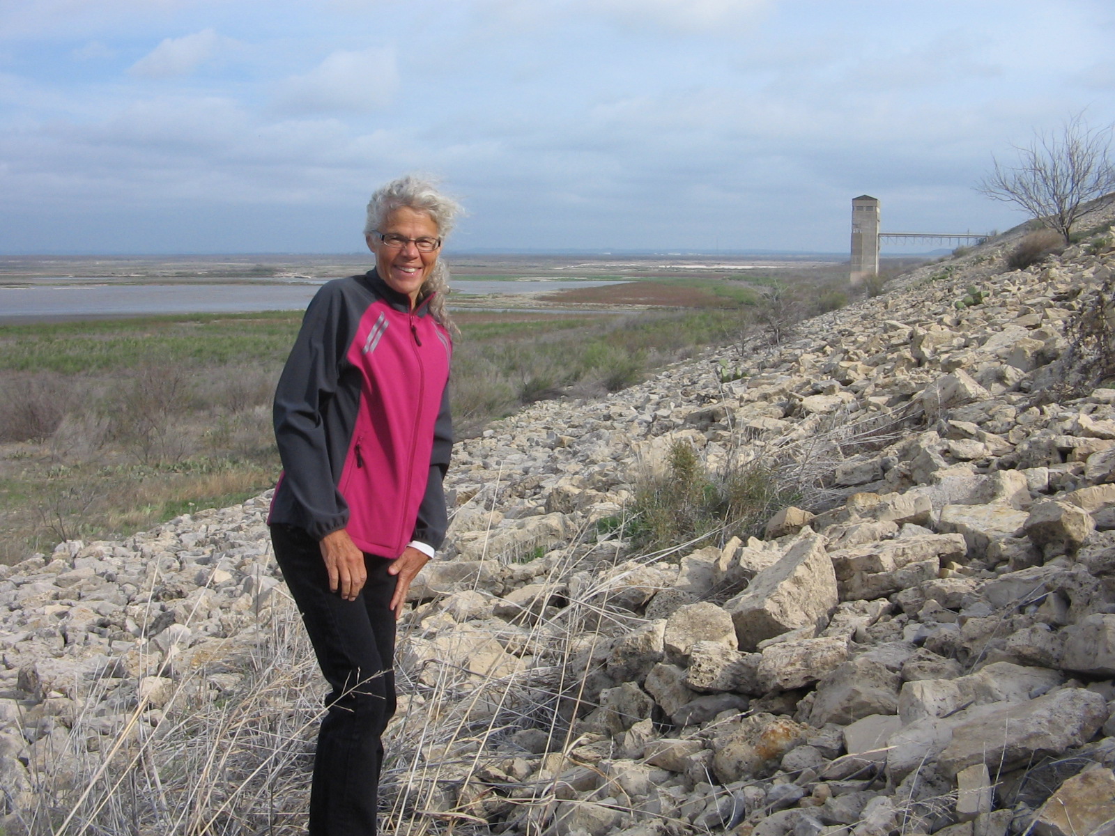
View from the top of the dam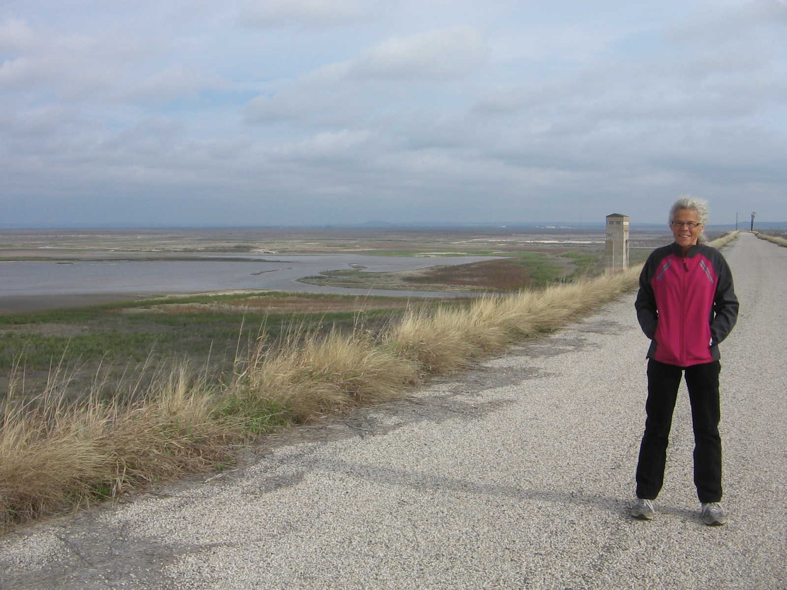
Making the descent from the dam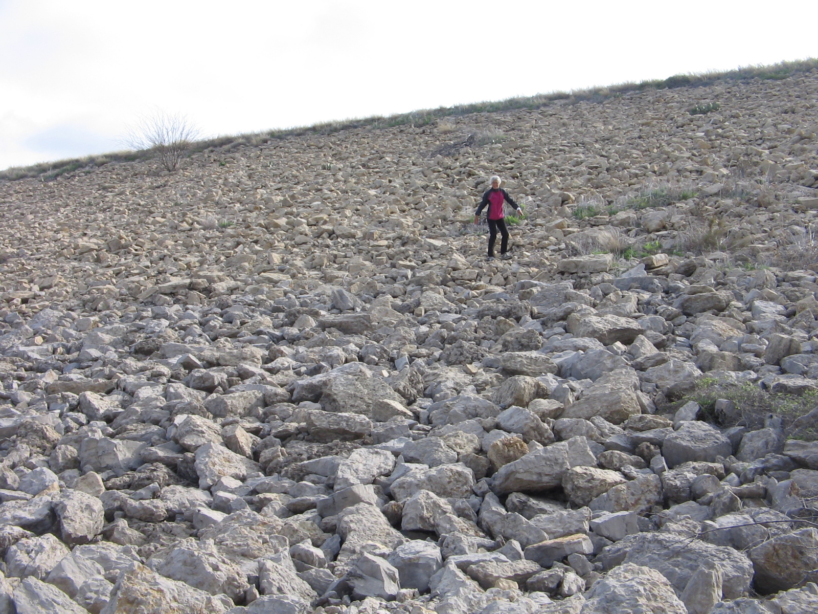
The other unforeseen circumstance in our San Angelo campout was the open barrenness of the tent camping area combined with last night’s strong spring winds. 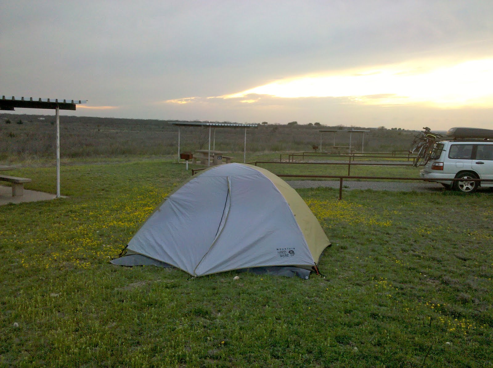
Our poor tent whipped and flapped all night long as it was battered by the winds that gusted continually. In dismantling the tent in the morning we weren’t fast enough after we pulled up the stakes and a gust of wind grabbed it, tumbled it over and one of our tent poles snapped. Before we left town we found an outdoor store where we bought a tent pole repair kit. But we knew we wouldn’t be camping tonight. We are in a hotel room in Fort Stockton, Texas. Lee spent a good part of the evening working on repairs, and depending on tomorrow’s weather, we may get to try out his repair job by attempting another campout.
It didn’t look promising Monday morning when we crossed the border of Texas and arrived in New Mexico. 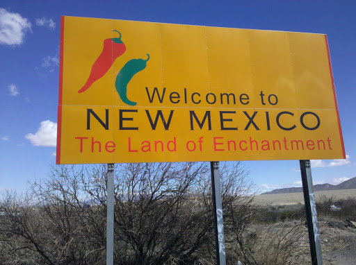
Having lived for 20 years in New Mexico, I had fond memories of the warm weather and 300+ days of sunshine a year. In New Mexico I knew that we wouldn’t experience a solid week of gray, overcast skies like what we had left behind in Austin. But what I hadn’t counted on was that March in New Mexico can bring windstorms with cold and blowing dust and that’s just what awaited us. A late winter snowstorm had moved through Arizona on Sunday and the effects of the cold and wind were evident, even down in the southern part of New Mexico. Fortunately, it didn’t take too long for the weather to warm back up and today was a perfect 70 degrees, no clouds and no wind.
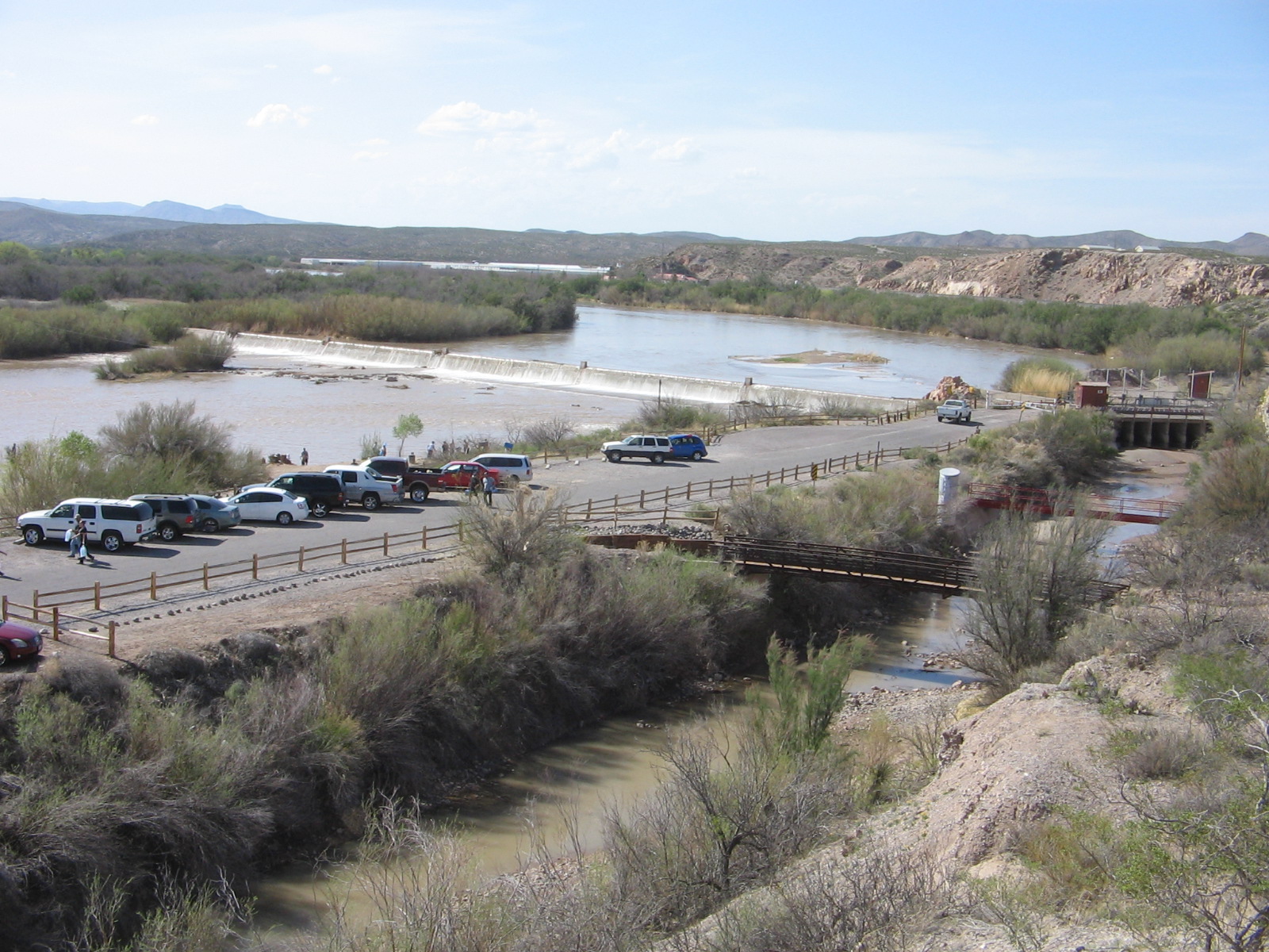
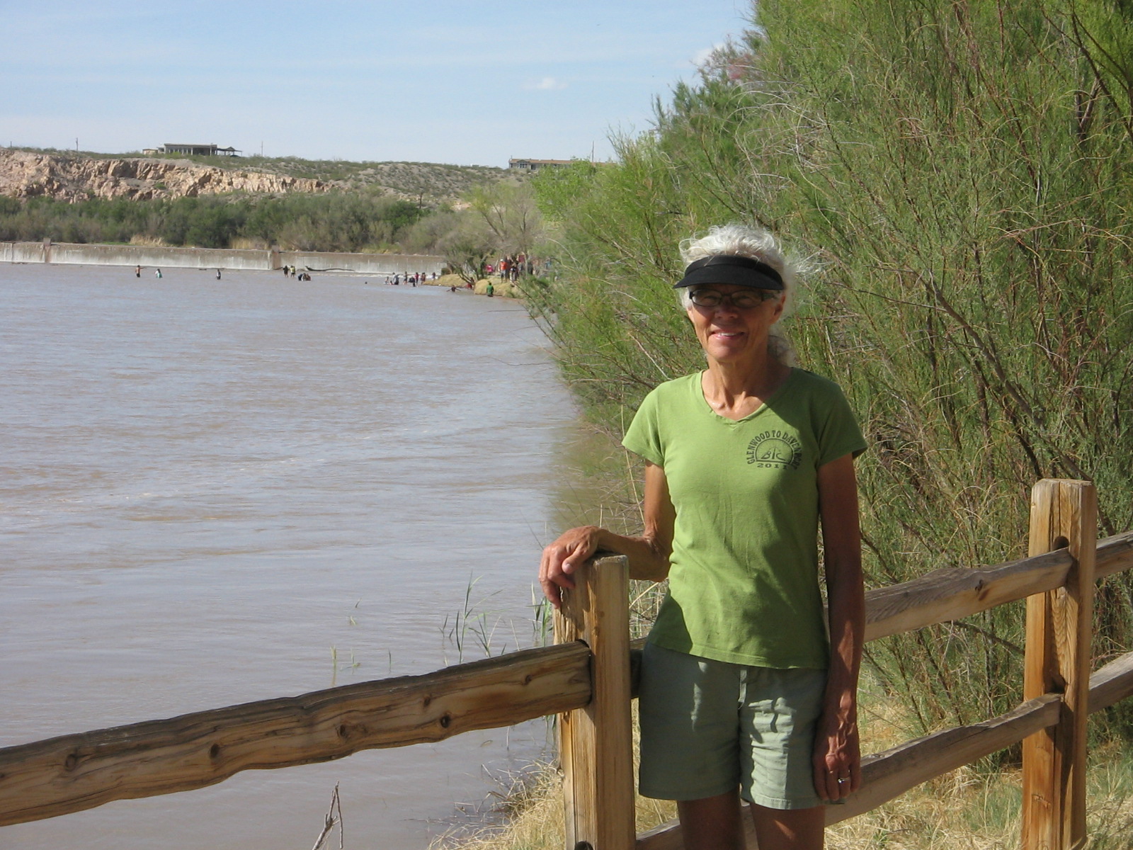
Our first stop Monday in New Mexico was in the city of Las Cruces. We visited the Mesilla Valley Bosque State Park for the opportunity to walk along the Rio Grande River. Sadly, there was very little water in the river.
Rio Grande River at Mesilla Valley Bosque State Park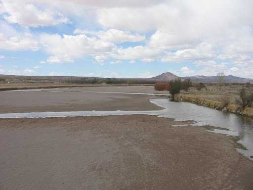
I don’t remember ever having seen the river that dry. The Rio Grande is the continent’s second largest river and plays a vital role in transforming barren desert into fertile land for farming. The Ganges River of India is the only river in the world that is more heavily used for irrigation.
As we continued our drive northward in New Mexico from Las Cruces the route basically paralleled the river. The further north we went the more I began to understand that all was not lost, as far as what had seemed to be a dried up river. The key is the management of what water there is by regulating how much is allowed to flow from the source in the Colorado mountains to the mouth in the Gulf of Mexico 1,885 miles away. There is snow yet to melt in the mountains and, hopefully, there is enough snowmelt that when the floodgates are opened at Elephant Butte Dam the dried up places we looked at downstream will again have water.
In Albuquerque, where we arrived on Wednesday, we were happy to see that there is a lot more water in the river. We were told that things are more dry than normal, but it did look a lot better when we walked along the river at the Rio Grande Valley State Park. Rio Grande River at Rio Grande Valley State Park in Albuquerque
Bosque Trail at Rio Grande State Park. A bosque is a clump or grove of trees like the ones here.
Spring is only beginning here in Albuquerque. We’ve seen forsythia, redbud and bradford pear trees blossoming, but trees like the cottonwoods here don’t yet show any signs of green.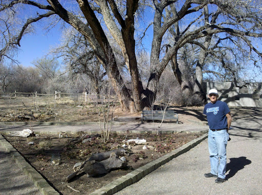
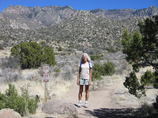
We are staying in the Albuquerque area for the next two weeks and are excited about the opportunities for activities that we enjoy. We have a bike map of the city and there are a number of good trails to explore. There are also many hiking trails in the Sandia Mountains just east of the city. Today’s perfect weather gave us the opportunity to do a short hike in the foothills of the Sandias and then later in the day a bike ride on one of the city trails.
Hike in Sandia foothills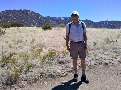
Our hotel is on Central Avenue, which once was part of the famous cross country highway Route 66. When we are in the mood for some nightlife we need to follow it back down towards the city and check out the historic vintage neon signs that they say still are there along the route.
The journey continues.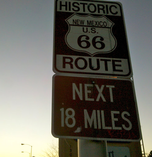
We have been enjoying Albuquerque so much that we signed on for a second week at our extended stay hotel here. Staying for 2 whole weeks at one location will be a first since leaving Oakton in December!
The fact that it is an abnormally early spring this year has probably helped promote our positive impression of the area. It’s taken a bit of adjustment for me to cope with the chilly morning temperatures, but it doesn’t take long for the sun to warm things up. Only one day since we have been here could be called a cloudy day and those clouds didn’t stay around very long. At times we have had to cope with strong winds, for example, on our Sunday afternoon bike ride.
Our hotel is a block from the Tramway Bike Path and we thought an enjoyable Sunday afternoon activity would be to ride out and back and enjoy the views of the Rio Grande valley to the west and the Sandia Mountains to the east. We are on the south end of the path and the 9 mile ride to the ending point at the north was quite pleasant. But turning around we were in for a surprise. The wind had picked up considerably and it was blowing quite strong from the south. It was a good workout getting back to our hotel.
We learned a lesson from our Tramway Bike Path experience and used the prevailing winds to our advantage the next time we did a bike ride. That ride was on the Paseo del Bosque Bike Trail, which basically parallels the Tramway Bike Path, but is west of the city along the Rio Grande. We started on the north end of that trail so that by the time we turned around in the afternoon to head back north, the south winds were tailwinds, instead of headwinds.On the Paseo del Bosque Bike Trail.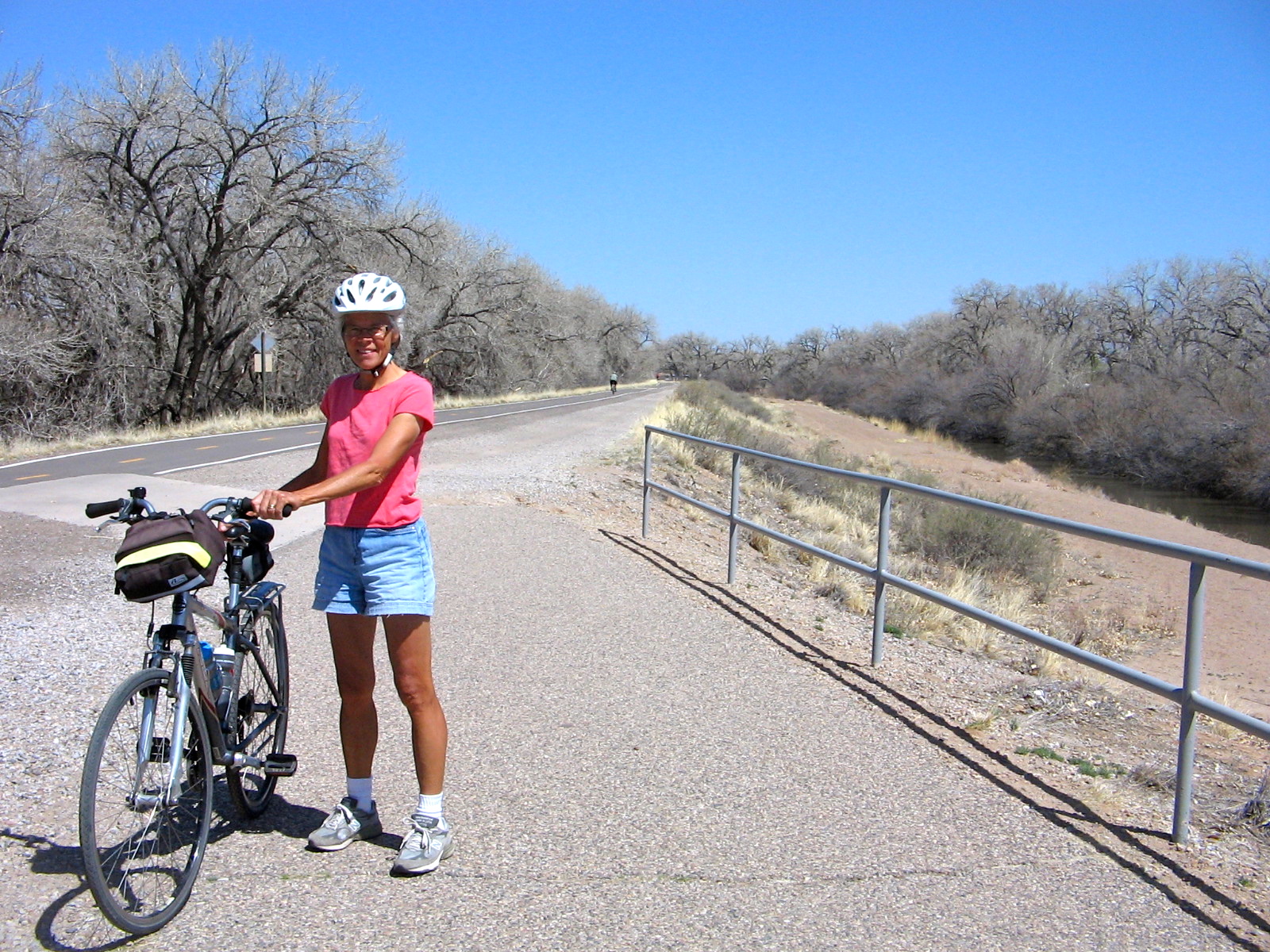
Besides bike riding, we have also taken several walks in surrounding desert areas. We wanted to visit Petroglyph National Monument, but to get the full picture of the history and geology of this area it required making two separate visits. One visit was to the western boundary of the monument to walk through the area known locally as the Albuquerque Volcanoes.
Volcanic formations at Petroglyph National Monument.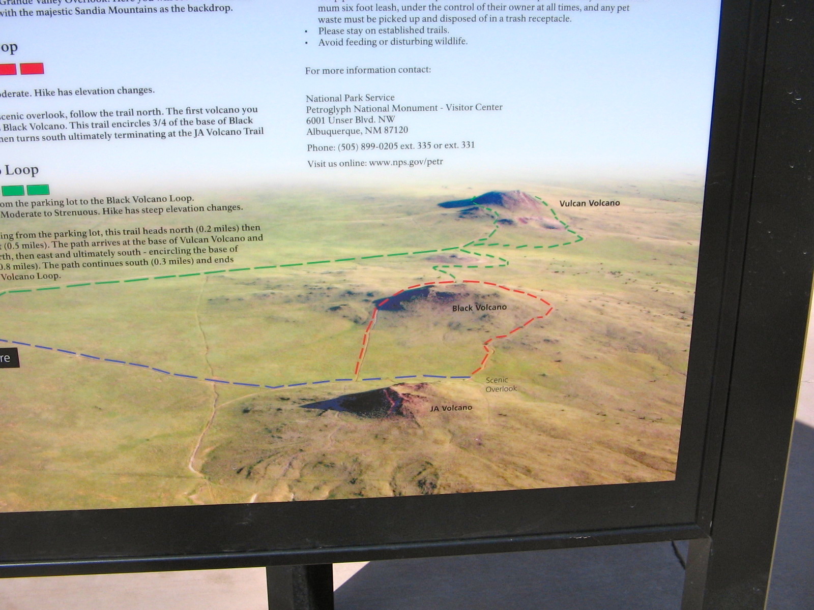
These formations are what’s left of the “fissure” volcanoes where the magma that rises up comes from cracks or fissures in the earth rather than through a central vertical vent. The volcanic activity here created the boulder-strewn escarpments that were used by American Indians and Spanish settlers as backgrounds for more than 20,000 petroglyphs.
View from path around 3 volcanoes looking east towards Albuquerque. The basalt escarpments are barely visible from here as the black cliffs in the middle of the photo.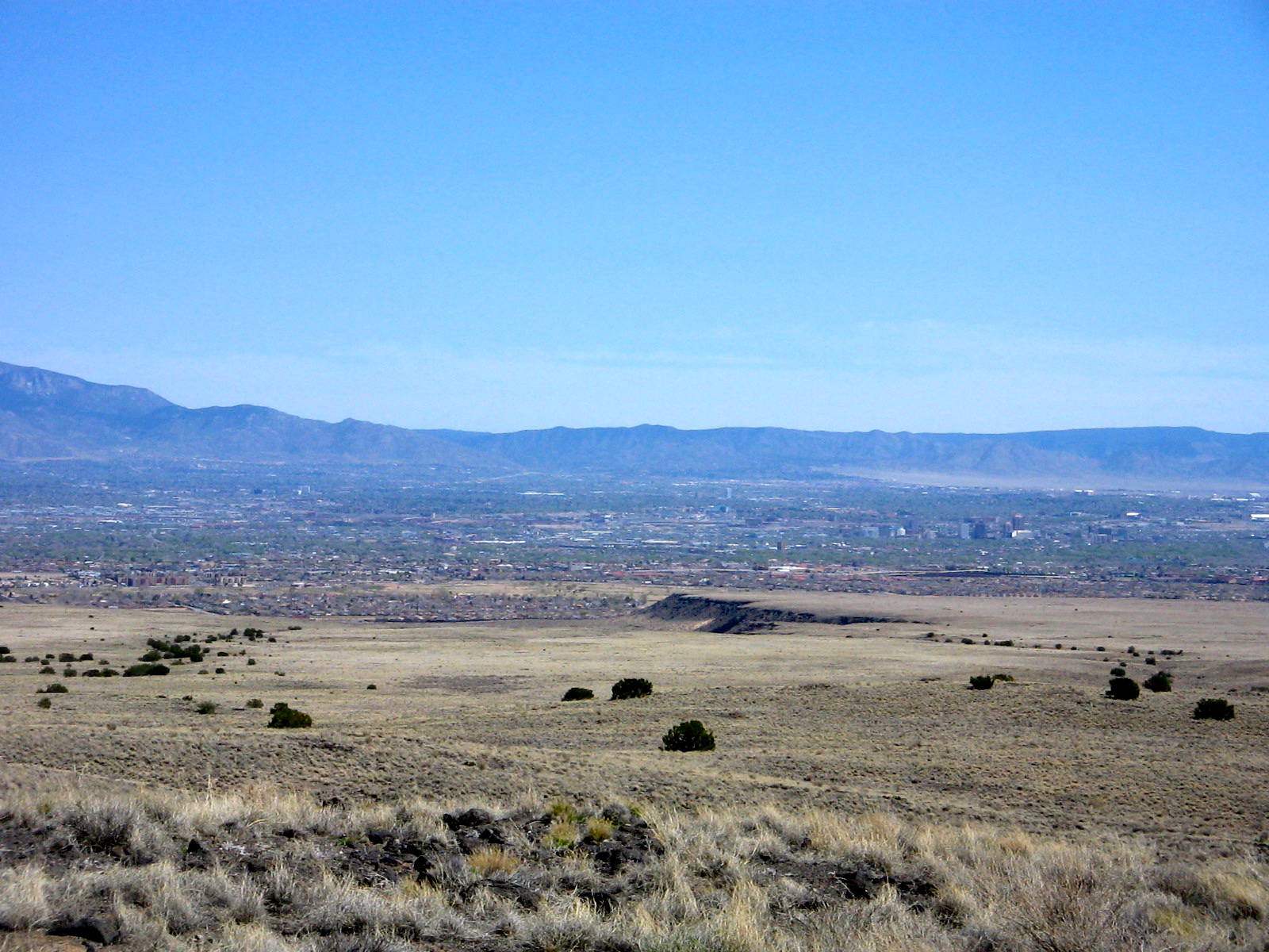
View of cinder cone remnants on side of Vulcan Volcano, the third one on the loop trail.
To see the petroglyphs and walk through the escarpments was another visit to the monument.
On the trail to the escarpments to view petroglyphs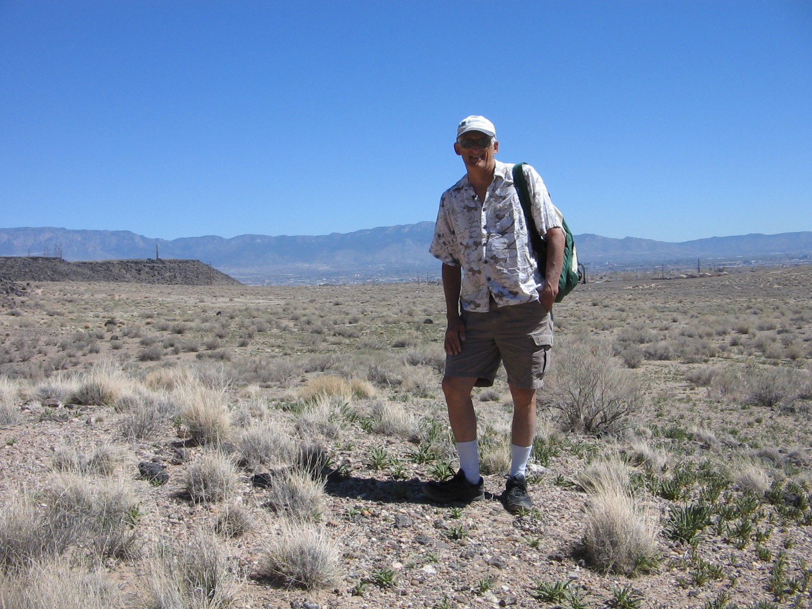
We had to look closely up the piles of boulders to see petroglyphs. I’m sure there were many that we overlooked.
Dancer?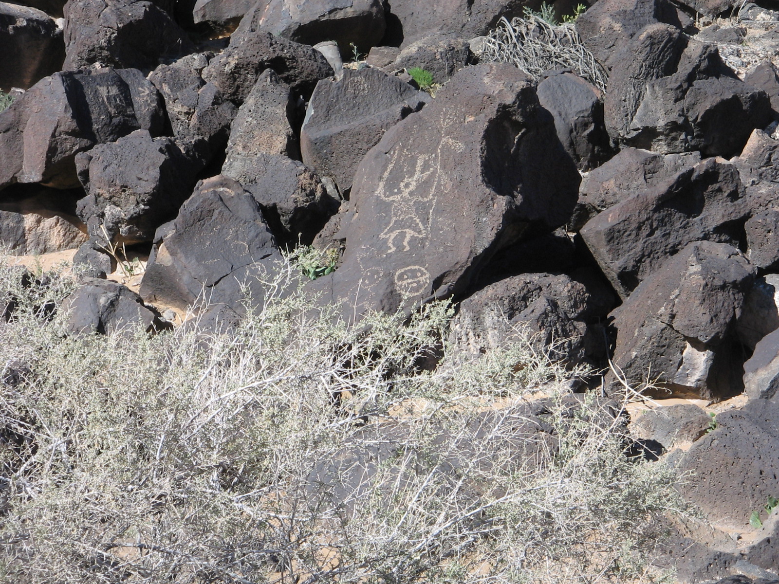
Coyote?
An example of some of the desert blooms. It doesn’t seem possible that anything could bloom in such dry soil.
Today’s adventure was to ride the Sandia Peak Tramway from its start at the northeastern edge of the city to the crest of the Sandia Mountains. On a couple of our other excursions around the foothills we had been able to catch glimpses of the tramline and support towers and once or twice a tiny tram car creeping its way up the incline. So it was fun today to actually be there and find out what it was all about.
A tram car going the opposite direction of our car.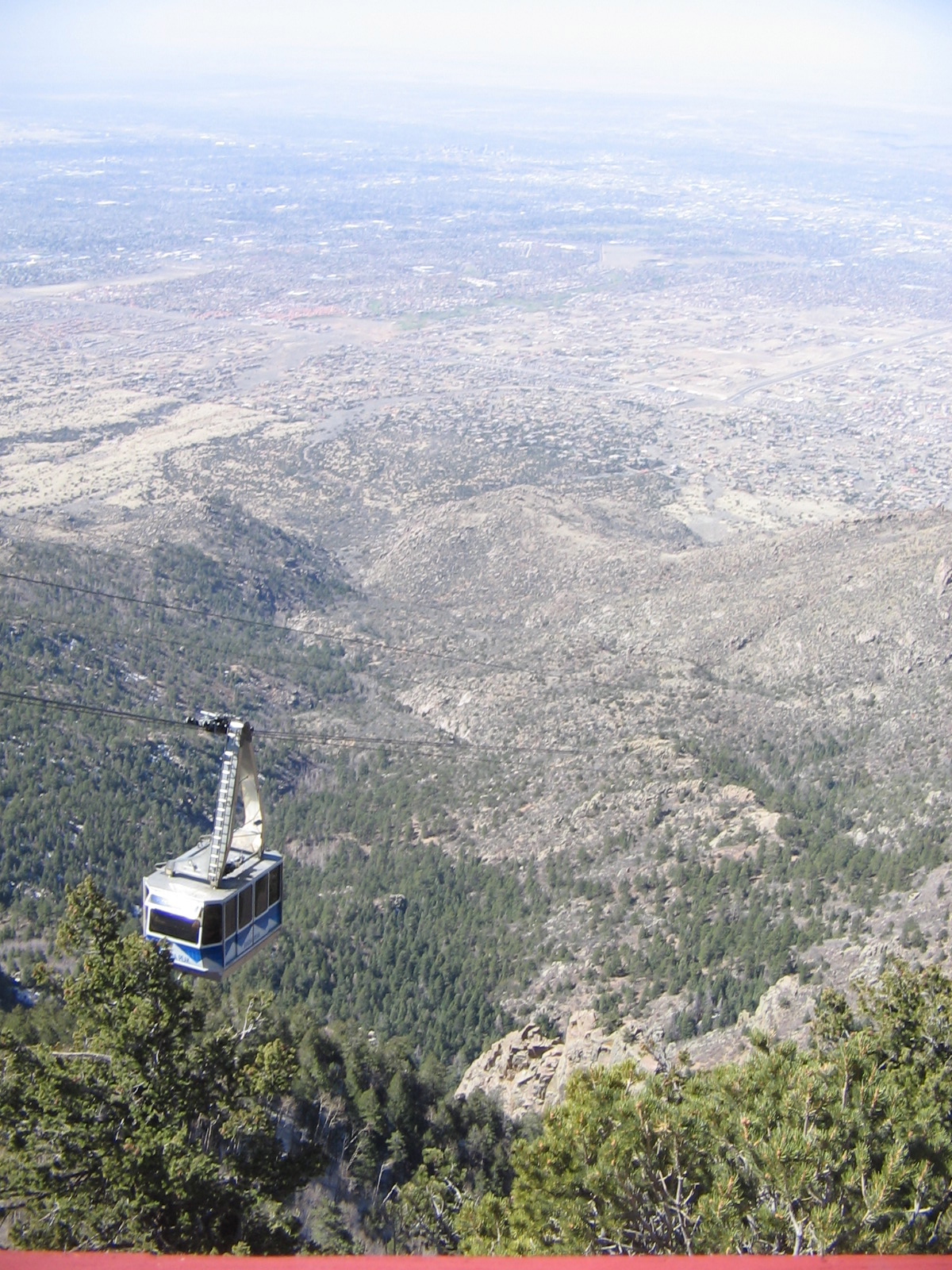
We had been warned to dress warmly as it can be quite cold and windy at the top. We were fortunate that the winds today were not strong, although I was glad to have my jacket and a couple of extra layers of clothes. 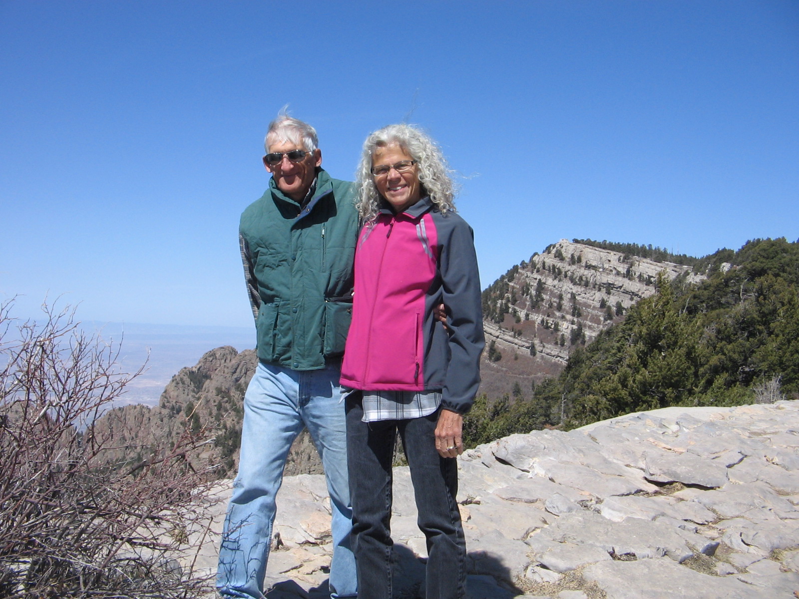
Once at the top, there are great views looking westward toward the city, as well as eastward on the other side of the crest where it’s possible to see Santa Fe and other mountains in the distance. Lee’s cousin, who has lived in Albuquerque for many years, acted as our tour guide, pointing out landmarks in the city and valley below.
The other side of the crest has a ski area, which only recently closed for the season. The leftover snow on the slopes and the chair lift for the ski area.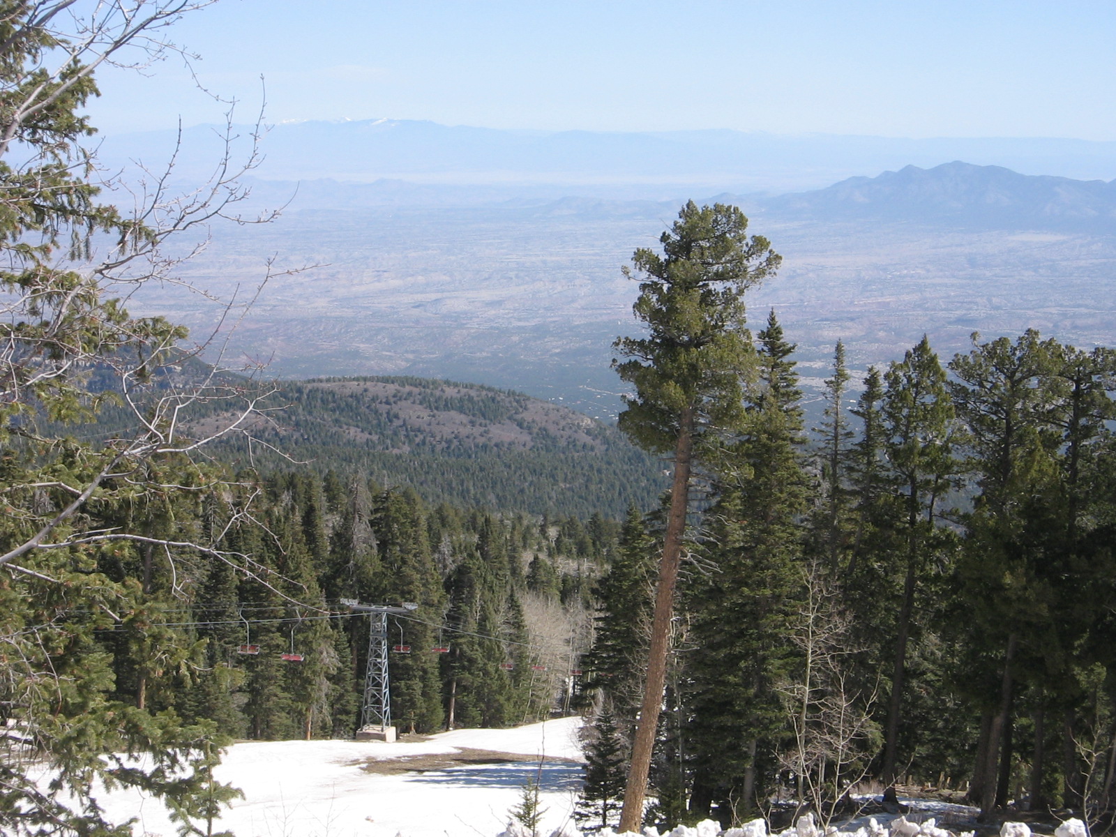
It’s nice to have a 10,000 foot view of the city but I was more than ready after an hour or so in the cool mountain air to ride back down the mountain and enjoy the desert warmth and sun for the rest of the day. I look forward to another week here as we continue to explore the area and soak up the sunshine.
No bike riding today!

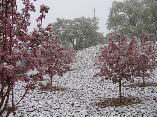
With the arrival of April, we thought our travels in the southeast and southwest had enabled us to escape winter snows. Not so, as we found out this morning in Albuquerque. After listening to a steady rain all through the night, we were greeted at first light this morning with the sight of big, white snowflakes coming down outside our motel window. We haven’t seen this much snow since last winter in northern Virginia.

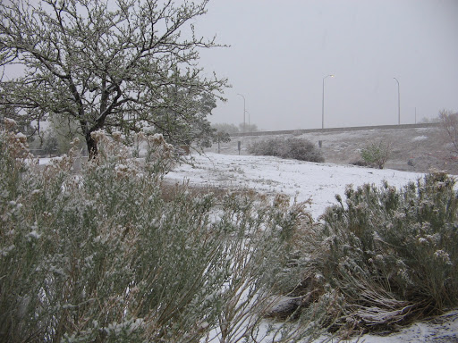


The moisture will be good for the desert, though, and all indications are that we will be back to warm, sunny weather in a couple of days.
It was amazing how quickly the weather changed. We had enjoyed warmer than usual temperatures over the weekend, close to 80 degrees on Sunday. That night the winds blew in the storm system and the highs yesterday were only in the 50’s. The clouds gathered over the mountains yesterday afternoon and before everything was shrouded in gray we could see the snow up on the mountains. When the clouds clear again I’m sure there will be a lot of white up there.
Our stay in Albuquerque ends on Thursday when we plan to head back down to the southern part of the state and make our way into Arizona.
Check out the photos of a hike on the Embudito Trail, a hike on the Three Gun Springs Trail and some Albuquerque sights.
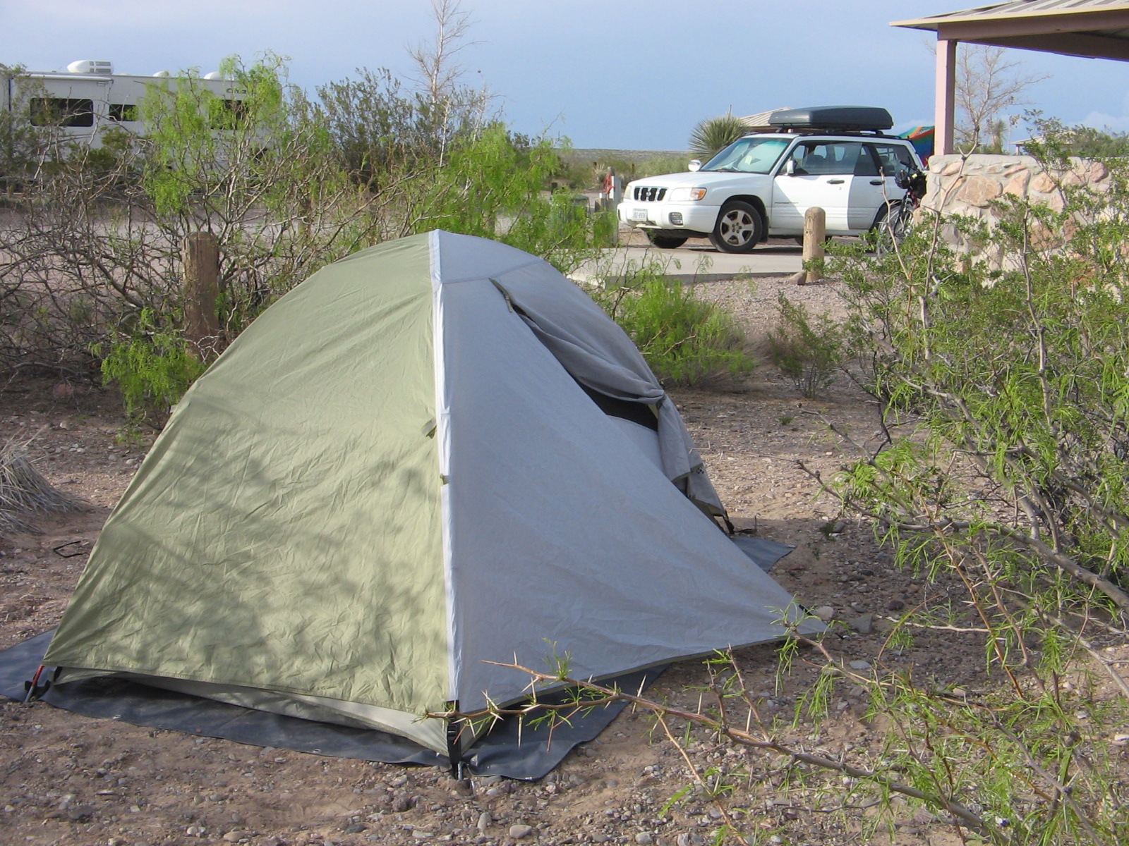
We are glad to be back this evening to where it is warmer in the southern part of New Mexico. After 2 nights in a campground it is also refreshing to be in a motel room again.
The snowfall that surprised us Tuesday in Albuquerque didn’t stay around for long. We had a couple of more days at our extended stay to enjoy activities in Albuquerque. One of those days we drove up to the Jemez mountains and visited Jemez State Monument. This was an opportunity to view some beautiful scenery and to tour the ruins of San Jose de los Jemez church that was built in the 17th century during Spain’s colonization of New Mexico.
On Thursday we left Albuquerque and headed northwest, stopping at El Malpais National Monument. We didn’t have time to view the whole area, but headed to El Calderon, where there was a picnic area to eat lunch and then a short hike to view the volcanic formations.
Our endpoint for the day was Bluewater Lake State Park, where we set up camp, cooked dinner and then had time to walk up to a scenic overlook of the dam and lake. It was quite overcast that evening, but the clouds cleared up during the night and there was no rain. The weather change, however, did bring very strong winds the next day. Most of that day was spent driving to Chaco Canyon, an important site in understanding the culture and history of the southwest, but, also, a very out-of-the-way place. The last 20 miles of the drive was over an unpaved, rough dirt road.
This morning when we crawled out of our sleeping bags we didn’t waste any time sitting around our campsite. The temperatures overnight had plunged into the 20’s. The water that we had in our water bottles was frozen! It was difficult taking down the tent and packing the car because without gloves our hands and fingers were numb.
But 250 miles later we are in Las Cruces, New Mexico, where it was 80 degrees this afternoon. We wanted to be back to civilization this evening so that we could attend Easter Sunday services tomorrow. After that, if the weather looks promising, we will do some more camping. But this time it should be a lot warmer!
Check out the photos from this week’s activities.
In April, desert camping is definitely preferable over camping in the mountains. After our shivering experience at the Bluewater Lake campground last week we basked this week in the much warmer temperatures at 2 state parks in southern New Mexico.
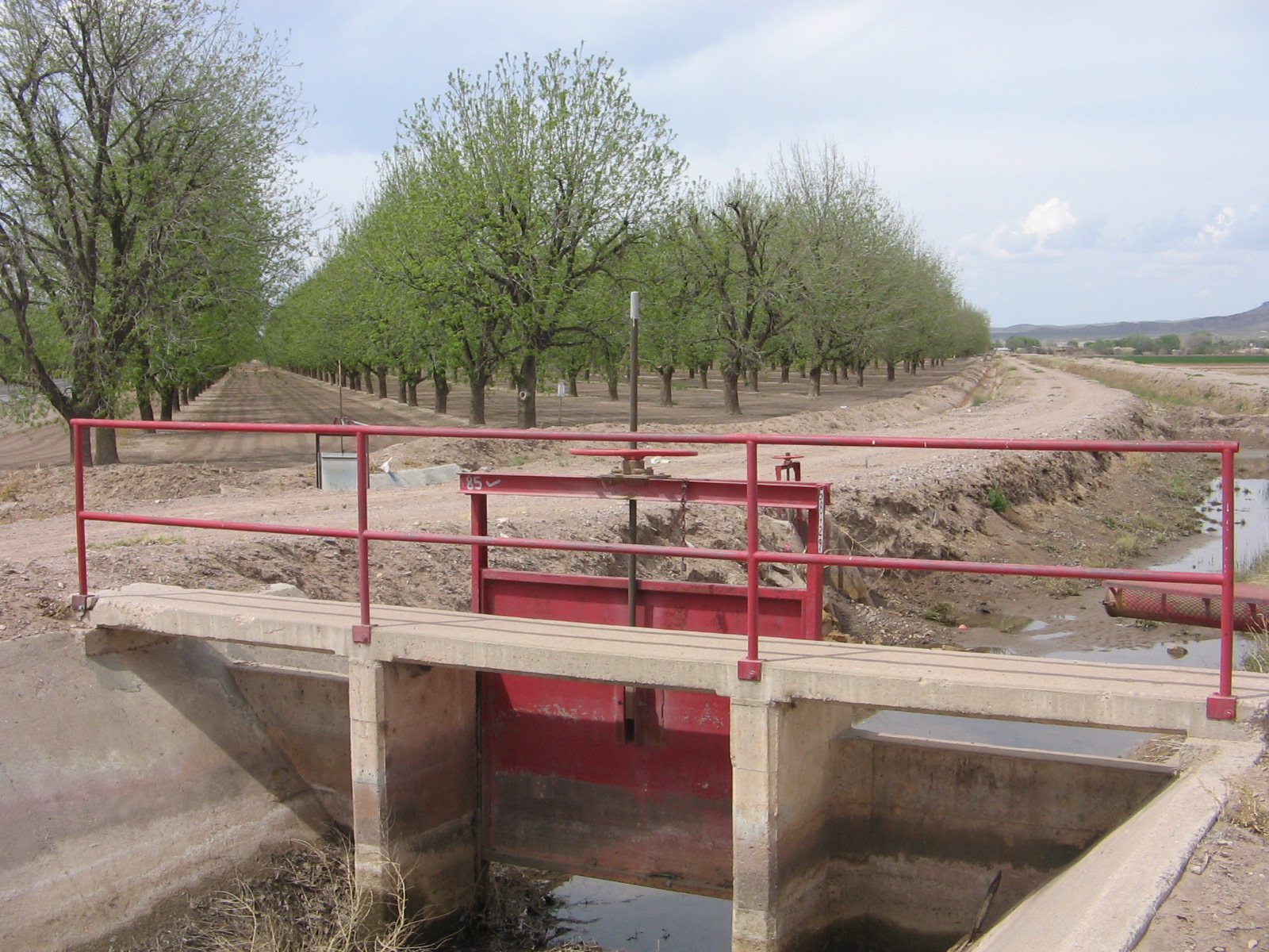
We camped for 2 nights at Leasburg Dam State Park near Las Cruces, NM. Last month on our way up to Albuquerque we had stopped for a brief visit in Las Cruces and had been dismayed at the lack of water in the Rio Grande River. The Upper Mesilla Valley is heavily dependent upon agriculture and the Rio Grande provides the water needed for irrigation. The Leasburg Dam was actually built to channel Rio Grande River water into Mesilla Valley irrigation canals. Between our last visit and this visit we were amazed to see the difference in the amount of water in the river. Elephant Butte Dam further upriver had been opened the end of March to allow more water to flow downstream.
Leasburg Dam on the Rio Grande River near Las Cruces.
The one bike ride that we took while at Leasburg Dam was on the highway from the park back into Las Cruces. Almost the entire 15-mile trip was through the pecan orchards of the Upper Mesilla Valley where the spring irrigation of the orchards was very much in progress.
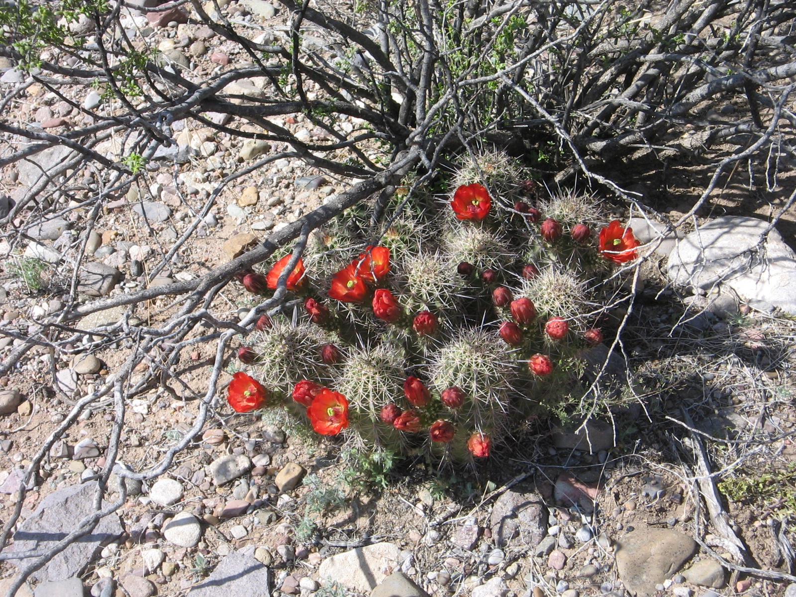
Another sign of spring that we enjoyed was the cactus in bloom in the desert around the park.
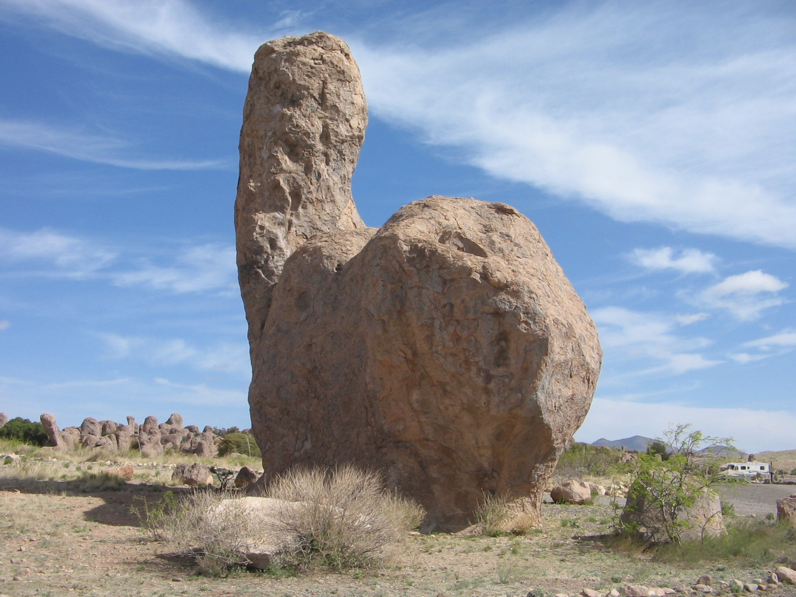
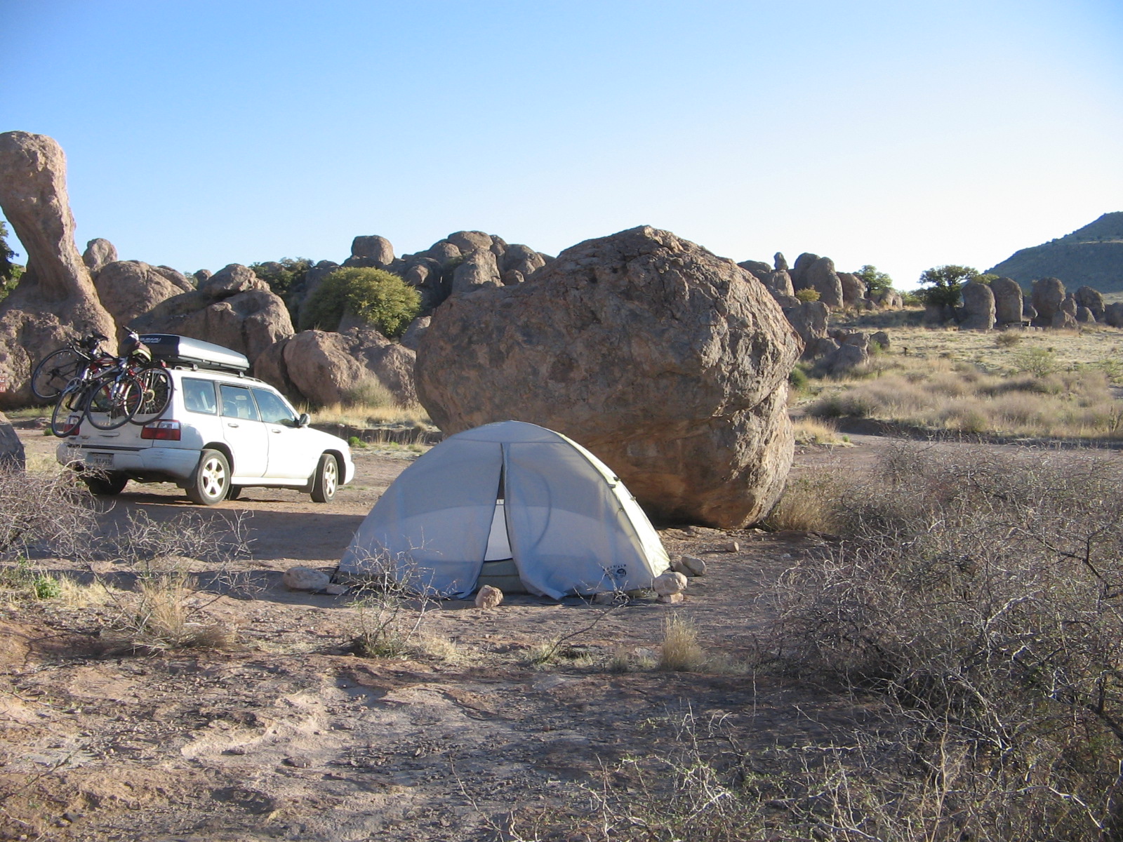
The other New Mexico State Park that we spent 2 nights at was City of Rocks State Park in the southwestern part of the state between Deming and Silver City. This was probably the most unusual place that I’ve ever camped. The park is a geological wonder of huge boulders in the desert in the middle of nowhere beneath some of the darkest night skies in the country where the stars truly light up the night sky. The campsites are tucked away in amongst the boulders. The paths between the boulders are like streets of a city. What a fun place to explore in the day and an absolutely peaceful and quiet place to spend the night.


Our campsite at City of Rocks State Park.

Sunset at City of Rocks State Park.

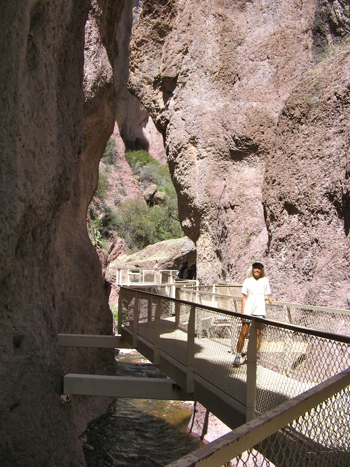
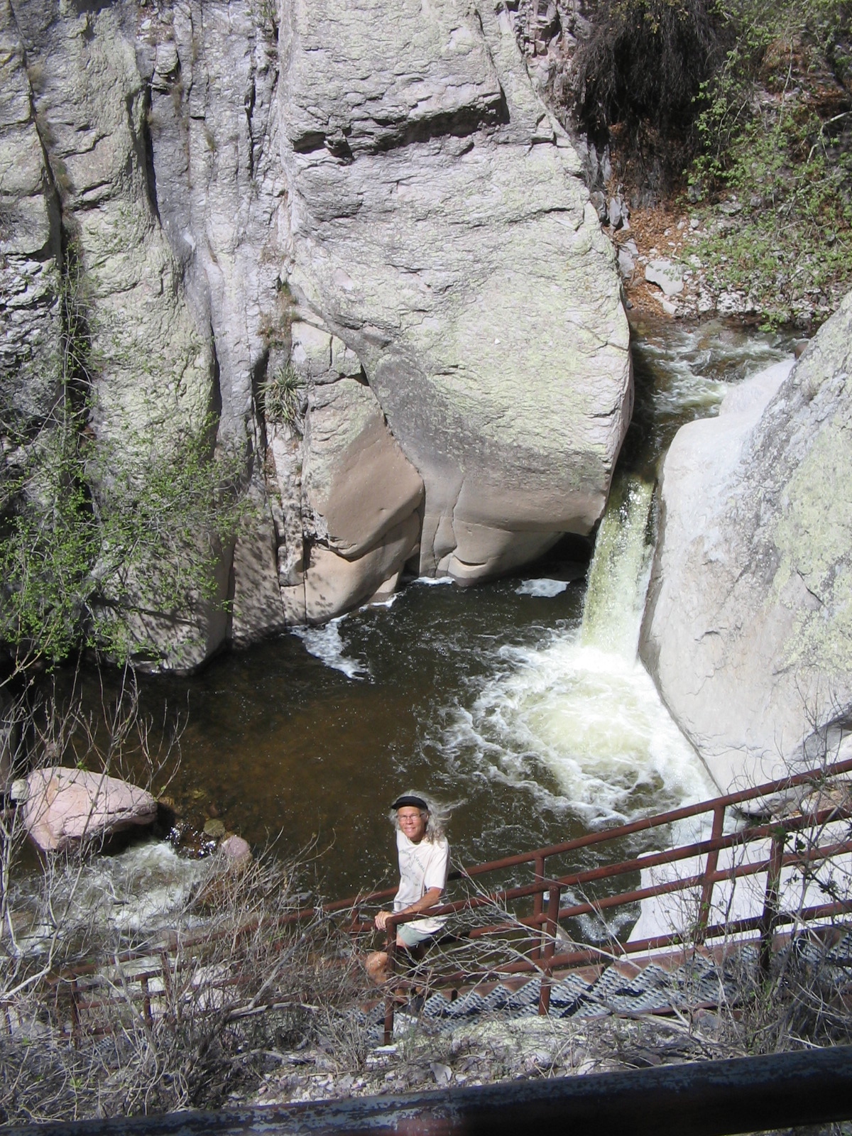
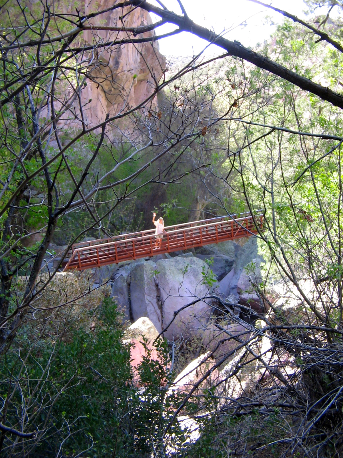
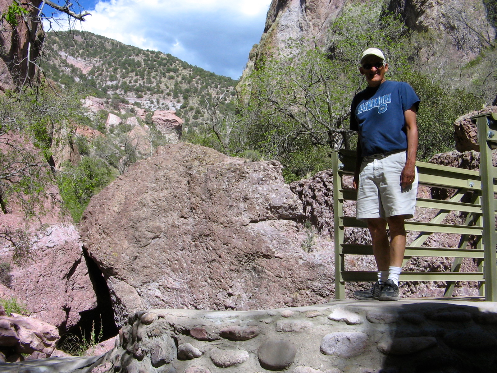
While camped at City of Rocks, we took a day trip north into the Gila National Forest to walk the Catwalk Trail a hanging walkway that follows the path of an old pipeline built along a stream in Whitewater Canyon. “Whitewater” is certainly an appropriate name for this stream that tumbles between the steep, narrow rock walls of the canyon. Even at this dry time of the year in the desert there was an amazing amount of water.
On the drive back to camp from the Catwalk we took a short side trip east of Silver City to view the open pit copper mine at Santa Rita. Grant County has been the most important metal-producing county in New Mexico. Low copper prices in recent years caused many mines, including this one, to be shut down, but last year the current owners, Freeport-McMorRan Copper and Gold, Inc., have restarted operations there.
Today we said goodbye to New Mexico and continued progress westward into Arizona. Tonight we are in a motel in Globe, Arizona, and tomorrow we head to Phoenix to spend time with family there.
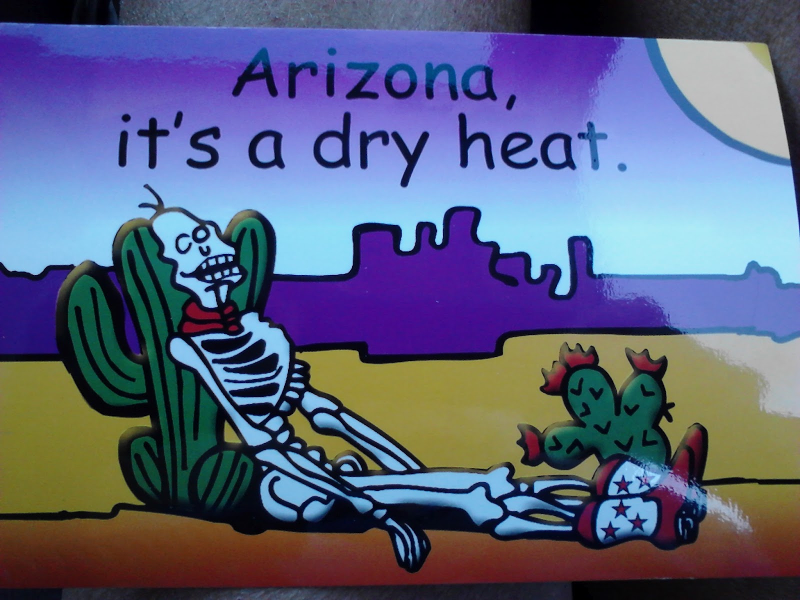
When the summer heat would hit Virginia, the standard phrase I used to compare Virginia’s heat to years I’d spent in the southwest, was “it’s a dry heat.” I guess that’s why I thought this postcard was so hilarious.
Our first couple of days in Phoenix were quite chilly, as a storm front had passed through the state bringing clouds, wind and cooler than normal temperatures. Fortunately, we didn’t need to be out in the weather, but, instead, were spending time at Agnes’ house in Chandler, AZ. Agnes was a wonderful hostess. It had been a long time since we had been there for a visit and we had lots of catching up to do.
The three of us took a Sunday afternoon drive north of Phoenix to visit the experimental community of Arcosanti.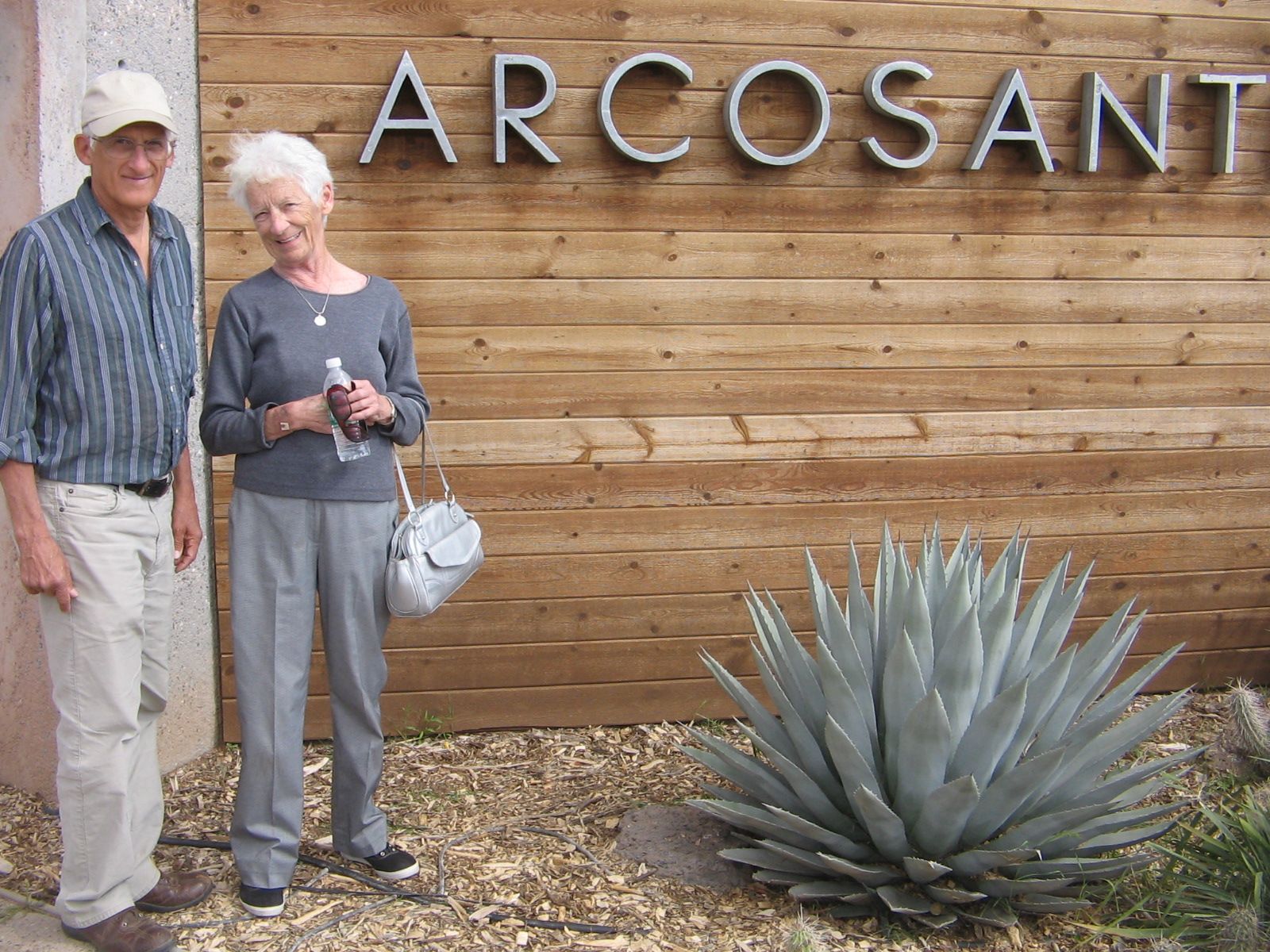 One of the residential areas of Arcosanti.
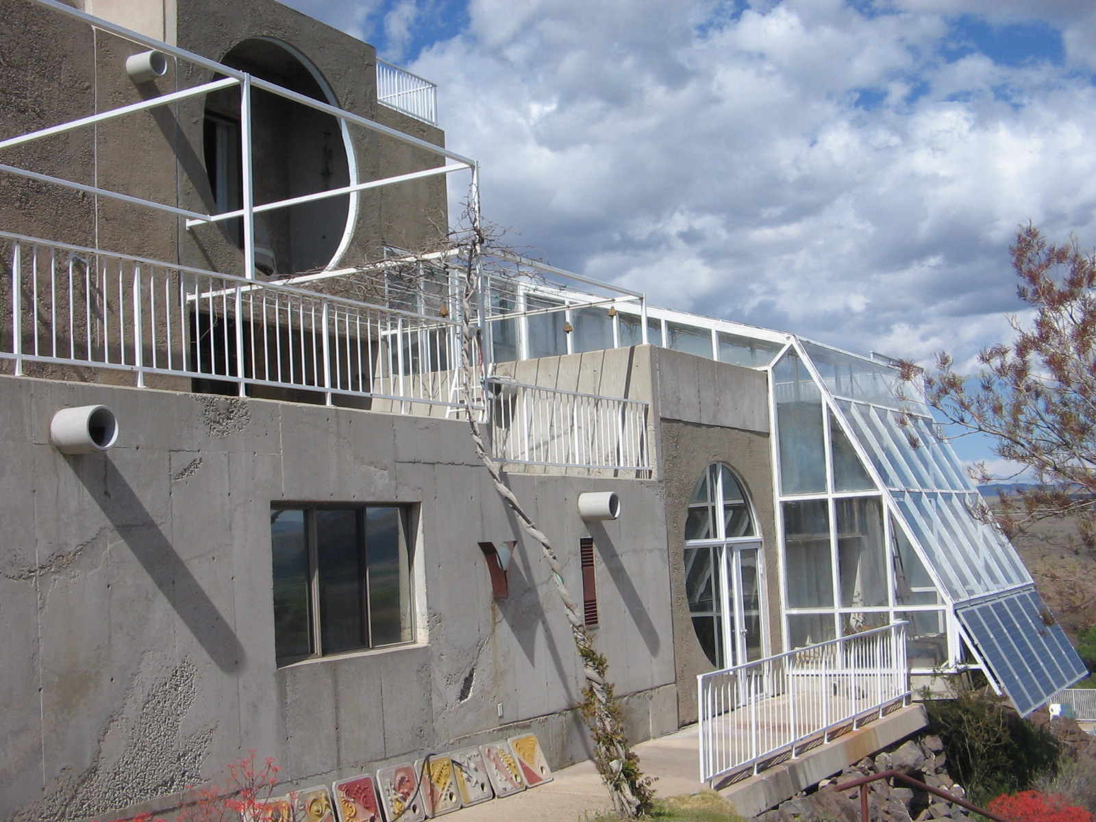
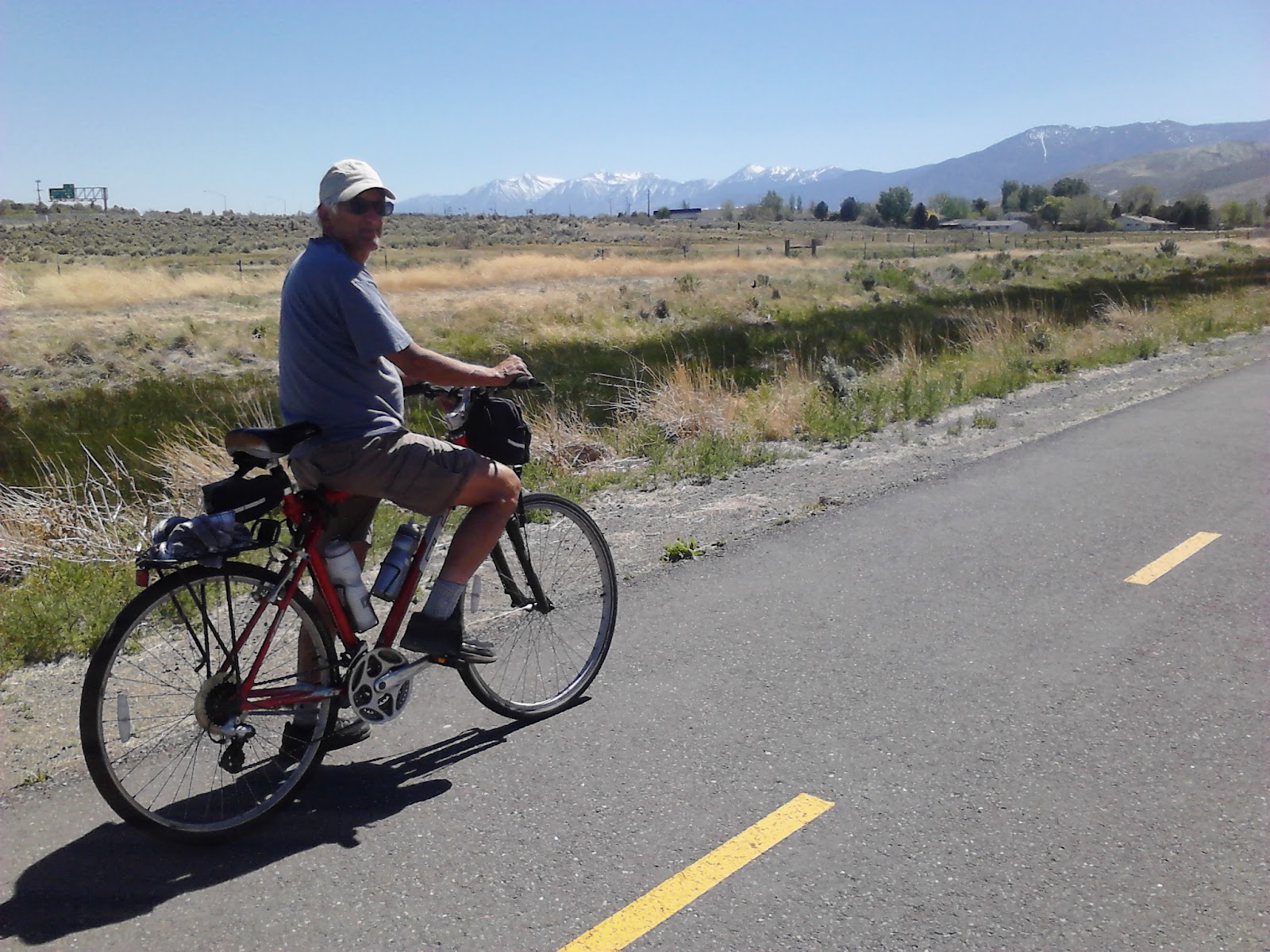
It only took a couple of days for the weather to warm back up again and by Monday we were out enjoying the abundant sunshine riding our bicycles on the Paseo Trail along the Consolidated Canal, from Chandler up to Gilbert. We combined this with a day to have some work done on our car, taking a detour from the bike path to go back through town after the shop called to let us know the car was ready for pickup.
Love the desert in bloom. Relaxing in camp at Catalina State Park.
 A glimpse of a roadrunner dashing through the campground.
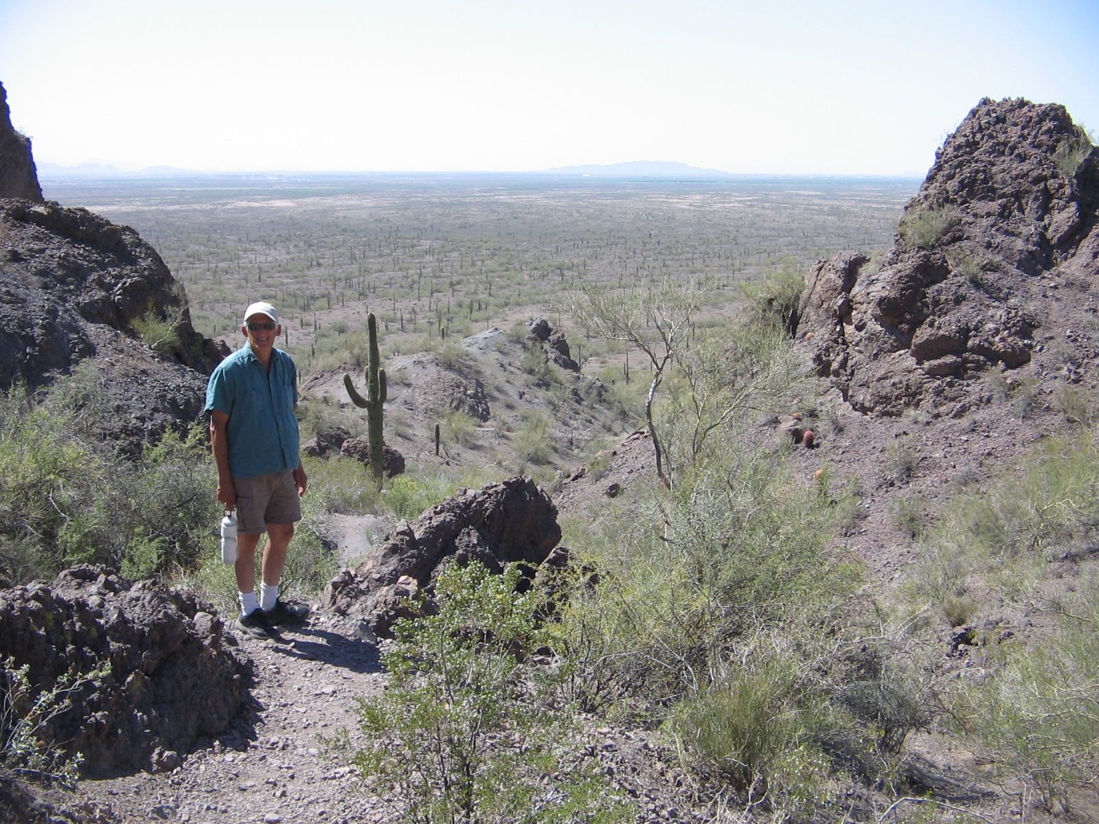
 Hiking at Picacho Peak State Park on the way to Catalina State Park.
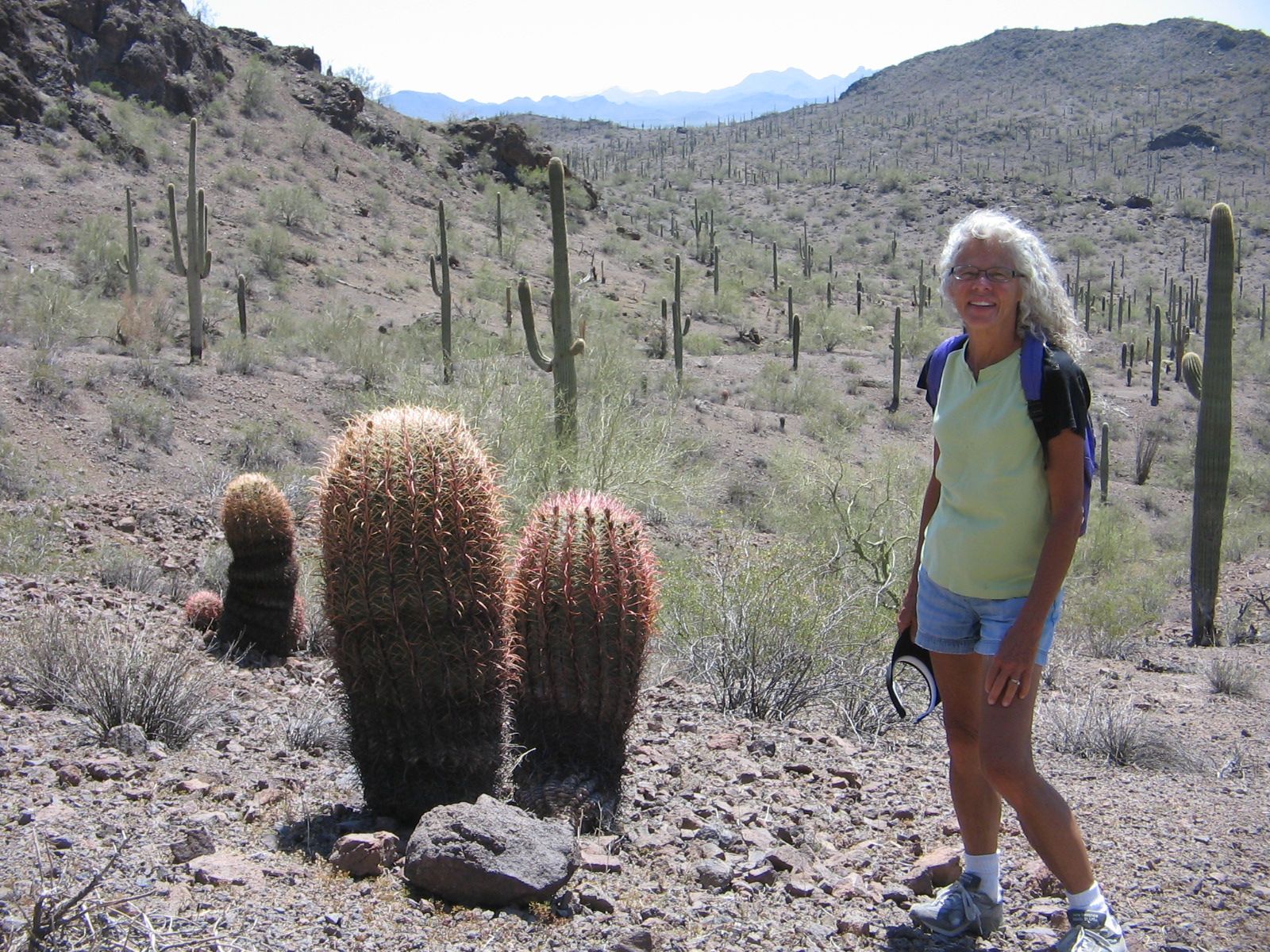
Barrel cactus on Picacho Peak trail, saguaro cactus in background.
Hiking the Romero Canyon Trail in Catalina State Park.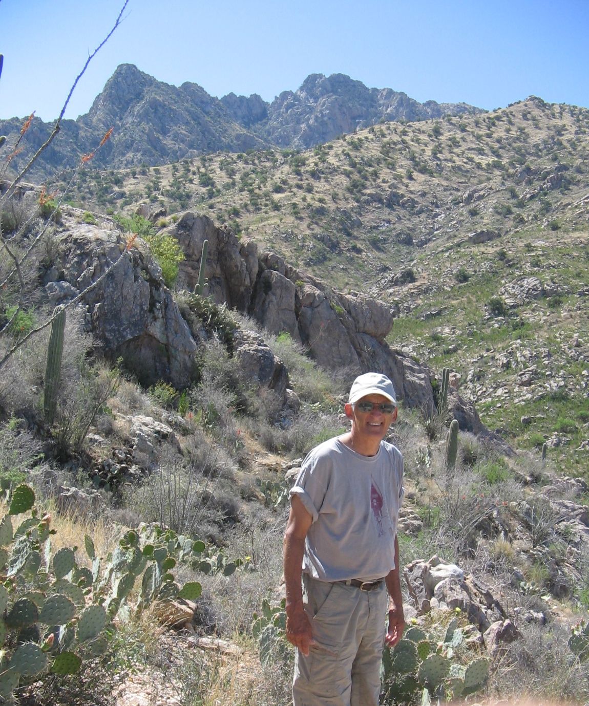 On the Romero Canyon Trail, in the distant background is Picacho Peak, where we had hiked the day before.
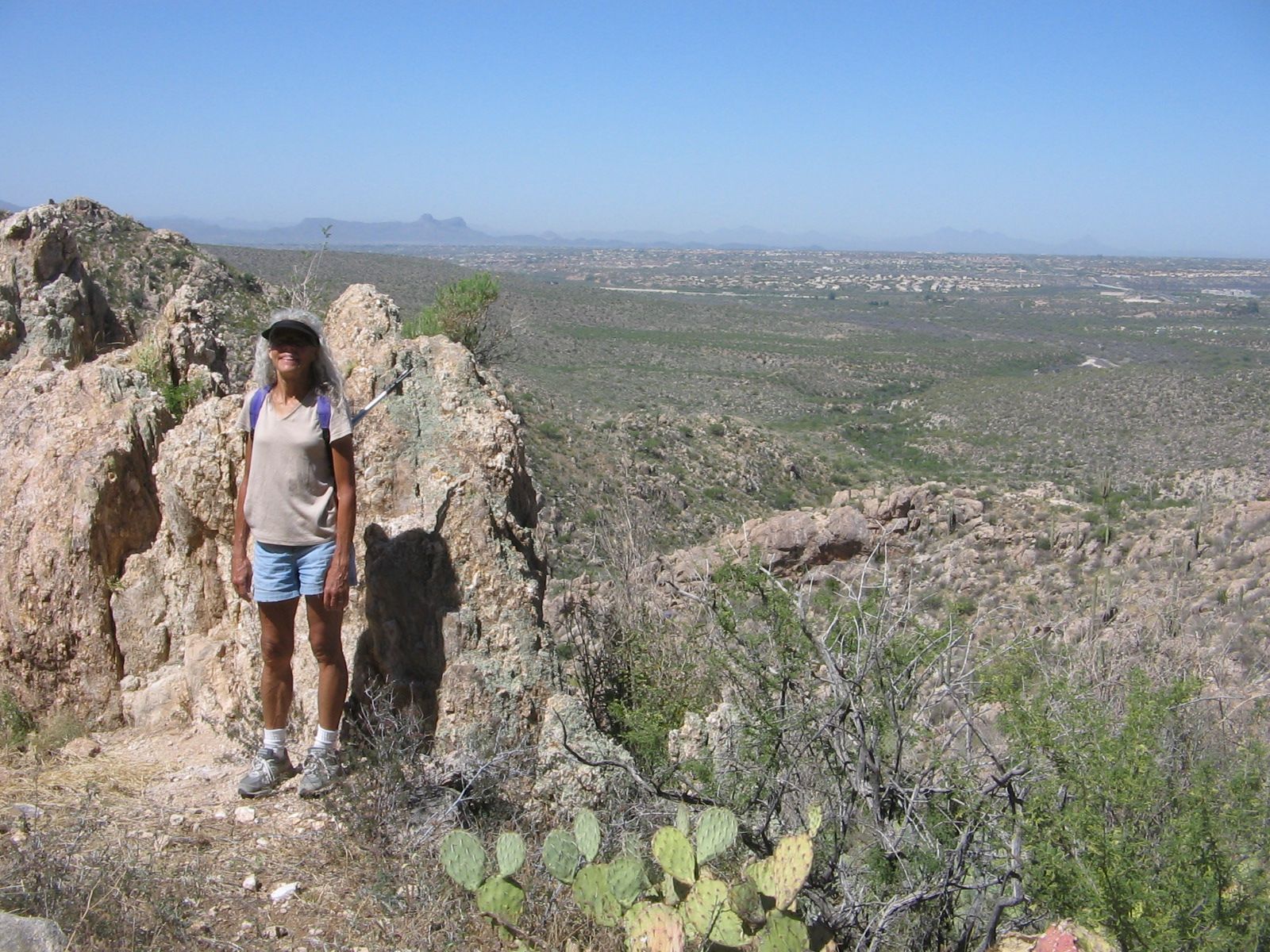 Destination on Romero Canyon Trail was to several small pools at a stream crossing up the canyon.
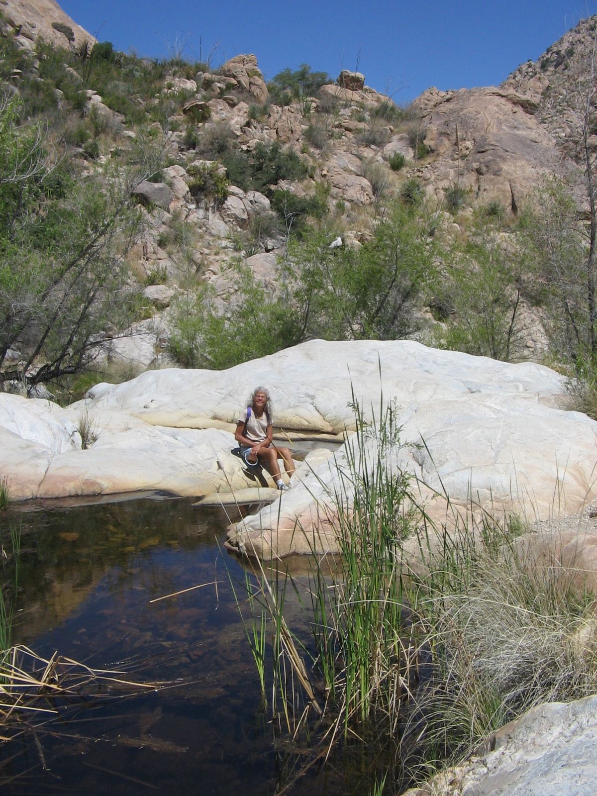
This weekend we plan to leave southern Arizona and make our way to St. George, Utah. We have heard good things about the city as a retirement destination, but neither of us has been there. I’m hoping there’ll be time for a visit to Zion National Park, as well. The journey continues.
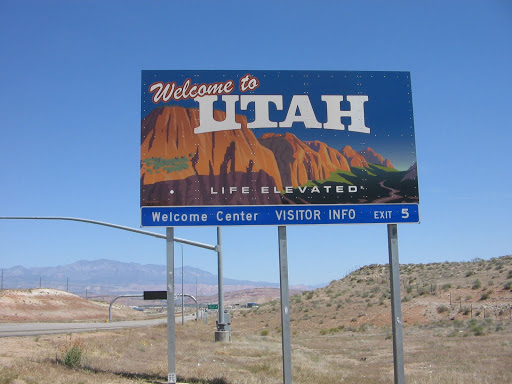
Today we crossed over into the southwestern corner of Utah, arriving at the town of St. George.
St. George is one of the places that has been on our list of possible locations where we would like to settle. We haven’t had time yet to see much of it, but we are very impressed with what we have seen.
Temperate climate is one of the selling points of the city and we very much appreciated that aspect today. We left Phoenix on Saturday and as we’ve traveled through Arizona, Nevada and Utah the last several days the temperatures have soared. We have been in some places that are normally quite warm, but everyone says that these temperatures are much higher than normal for April.
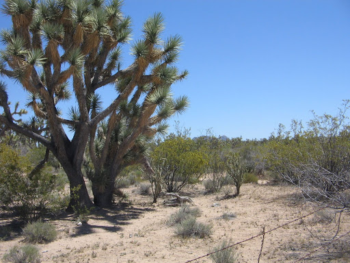
Saturday’s drive from Phoenix took us as far as Kingman, Arizona, where we spent the night. Part of the route that day went through a scenic desert area forested with the interesting cactus called the Joshua Tree. I had seen these treelike cacti in California but didn’t realize that they grow in parts of Arizona and Nevada, as well.
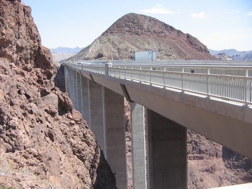
On Sunday we drove from Kingman, Arizona, across the Hoover Dam into Nevada. Many years ago when I had crossed the Hoover Dam the road was on top of the dam. There is now a recently constructed bridge, a real engineering marvel, that was built to route the highway off the dam.
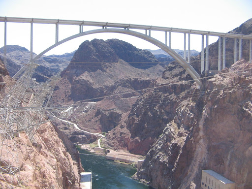
In order to get a view of the dam there is a separate sightseeing area that allows you to climb up to a walkway along the bridge.
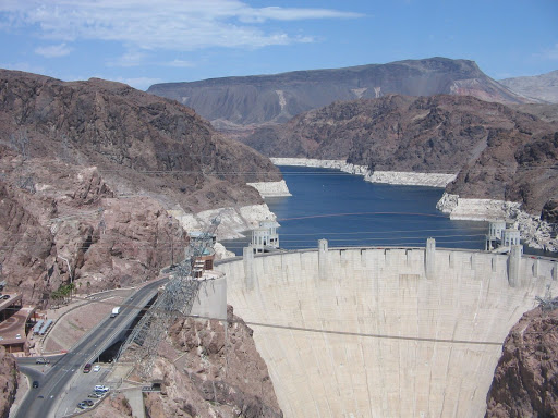

Behind Hoover Dam is the large Lake Mead Recreation Area.
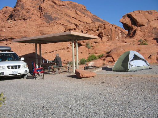
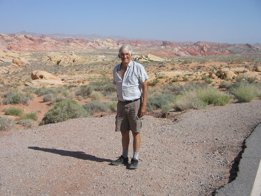
On Monday we drove along the 65-mile Northshore Road, reaching our camping site for the night at Valley of Fire State Park.
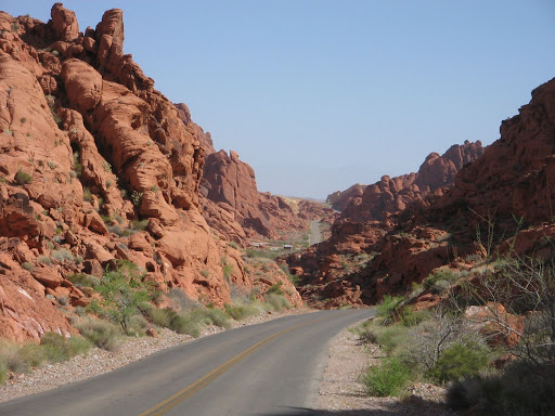
Camping in the rocks at Valley of Fire reminded us of the camping at City of Rocks in New Mexico. However, the accommodations at Valley of Fire were much more luxurious. And the temperatures here at night did not cool down at all. The highs that afternoon had been over 100 degrees and we did not need our sleeping bags to keep us warm for the first time in any of the camping we’ve done this year.
Yesterday was our day to visit Zion National Park and have our senses overloaded by the awesome beauty. Today we hiked one of the trails in Snow Canyon State Park and viewed scenery on a smaller scale, but of no less beauty. Since we are amateur photographers at best, there was no way to adequately recreate the visual experience for sharing with friends and family. But we gave it our best shot (or should I say our best “shots”).
The last couple of days have brought a change in weather. It has been overcast and highs only in the 70’s. Cloudy skies presented more of a challenge in capturing good images, but it did mean that we could enjoy today’s tromp through the desert without the heat that we experienced over the weekend.
If we had more time to spend at Zion yesterday, a hike there would have been ideal, too. As it was, we did the basic tourist shuttle bus tour to get a sense of what’s there. We came through the South Entrance of the park and the Zion Scenic Drive that leads up into the canyon is open to shuttle buses only. The buses were very convenient, passing frequently at the scheduled stopping points and on the way up providing a narrative of the history and features in the park.
We waited to get off until the end of the drive. Here the Riverside Walk trail makes it possible to continue on foot a mile or so further into the canyon along the Virgin River, to what’s called The Narrows. At this point, if the river is not too high (which was not the case yesterday) it is possible to continue the hike by wading, walking and sometimes swimming in the river. Even if we had been planning a hike and if the river wasn’t too high, I’m not sure that hike would appeal to me.
Two hikers got on at the Big Bend shuttle stop and described their day’s hike to us. Now that’s a hike that has more appeal to me. They had just completed the hike to Angel’s Landing and I was very envious when I peered out the bus window up at the huge formation they described ascending. Maybe someday.
We did a second short walk at Weeping Rock, just high enough to see the feature. Another trail branched off from here to a winding 8-mile ascent through Echo Canyon to a viewpoint of Zion Canyon. By craning our necks upward we could see hikers way up the cliffs above us making their way slowly to the top. Sure made me feel like a wimp to go back down to the shuttle stop and wait for the bus.
I was glad we got to see as much of the park as we did. There’s a peaceful feeling that you get there that’s hard to put into words. The canyon was named Zion by early pioneers because it provided such a sense of peace and safety. Dwarfed by the outsized features and incredible landscape many of the names given to the stone monoliths were inspired by Biblical references. One of my favorite spots was Court of the Patriarchs where the peaks had been named Abraham, Isaac and Jacob in 1916 by Frederick Vining Fisher, a Methodist minister.
Today we did get out and do some walking on a couple of the trails in Snow Canyon State Park. When you view our photos on Picasa, after the few meager offering of Zion photos, there are some selected from the many that we took today. It was hard to resist not only the views, but also, the treat of seeing many different flowers in bloom. Unfortunately, I haven’t had time to research the names of the flowers.
Hope you enjoy the photos. I just wish it were possible to do a better job of sharing all that we have seen and experienced in Utah.
We spent the weekend in Las Vegas, aka Sin City, and then Monday we found ourselves camped on the edge of Death Valley, in the middle of nowhere. What a contrast that was.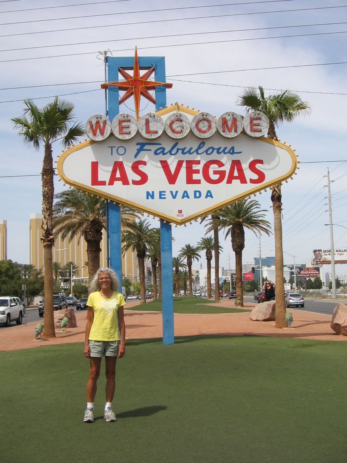
Our motel in Las Vegas was on the older, downtown end of the “strip”. Businesses in this part of town were not the glitzy casinos like the other end of the strip. In our block there were a number of old-fashioned wedding chapels that featured Elvis impersonators, pink cadillacs, white limousines and anything else to help recreate the romance of the past.
Street view from the front of our hotel in Las Vegas.
We didn’t need to be close to the casinos on the strip because we weren’t there to participate in the party scene. Our friend, Wayne, was in Las Vegas visiting family for the week and we couldn’t pass up the opportunity to connect with someone from Virginia who has been a great help to us on our travels. We’ve enjoyed hikes back East with Wayne and it was fun for the 3 us to get together again, this time for a hike in Red Rock Canyon National Conservation Area.
Starting the hike with Wayne on the White Rock/La Madre Spring Loop trail in Red Rock Canyon Climbing higher in the canyon
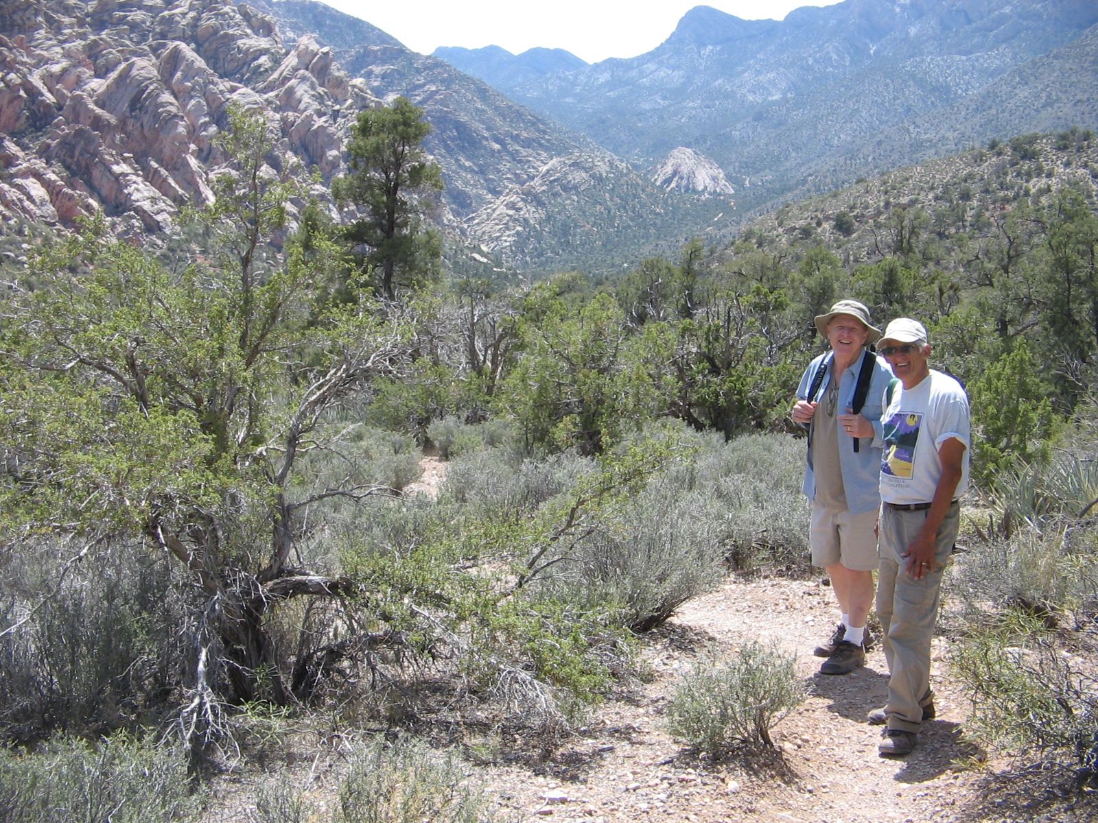 Showing rock contrasts.
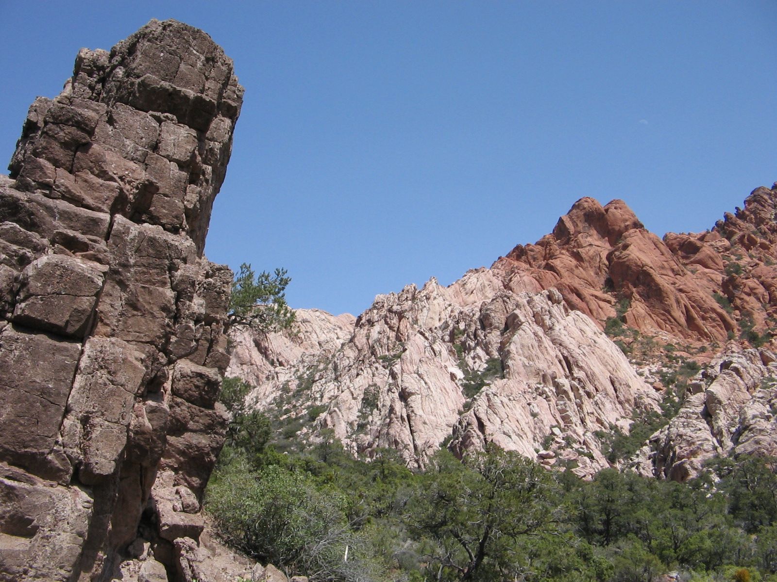 Red bud trees in blossom along the trail.
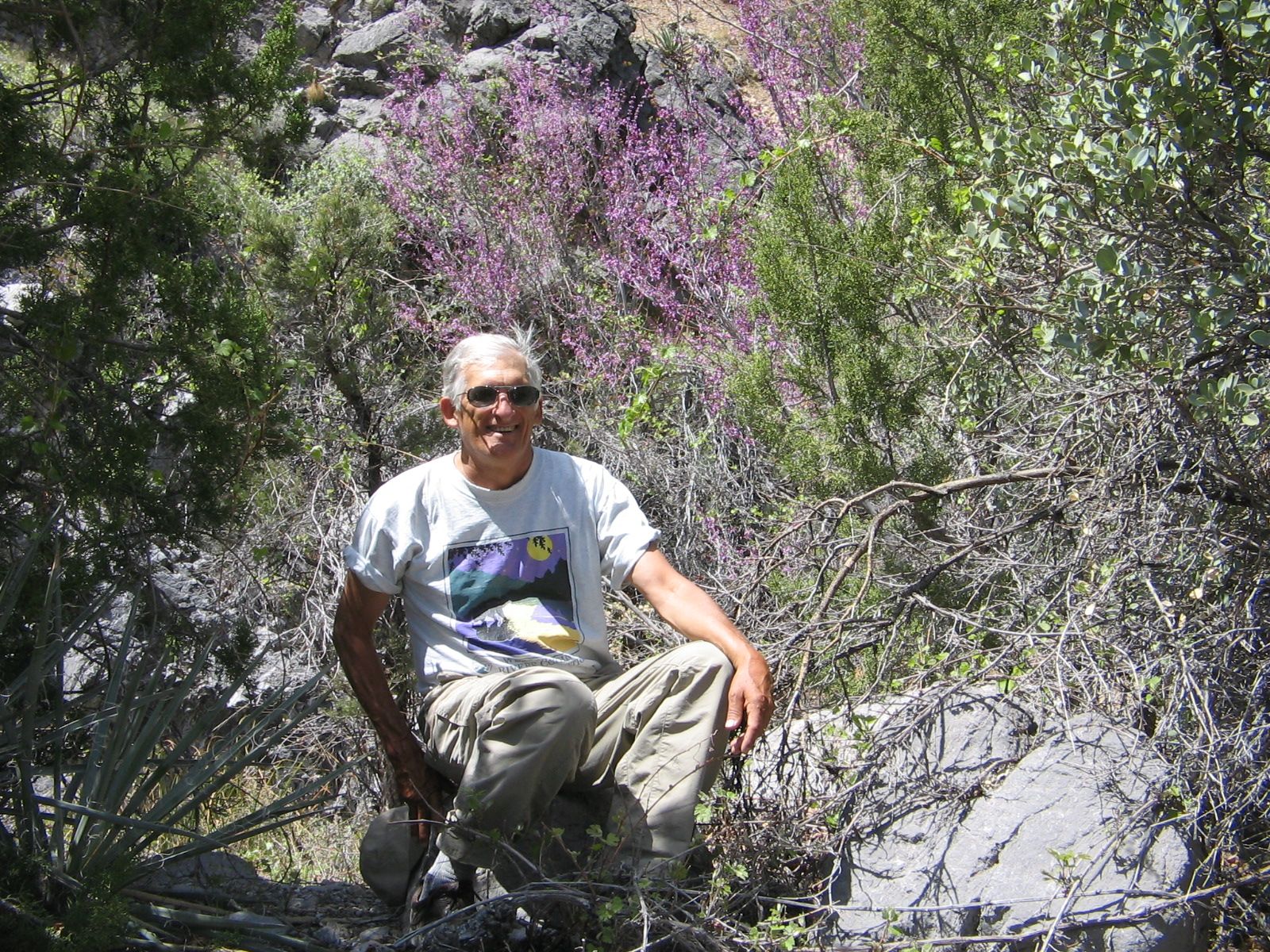 La Madre Spring. Surprising to see any water in what is mostly a barren desert landscape.
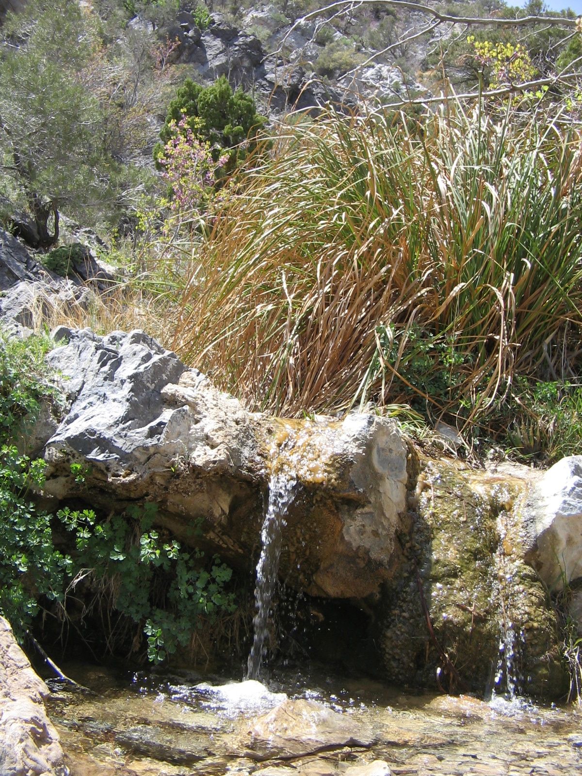 Climbing a rock for a better view.
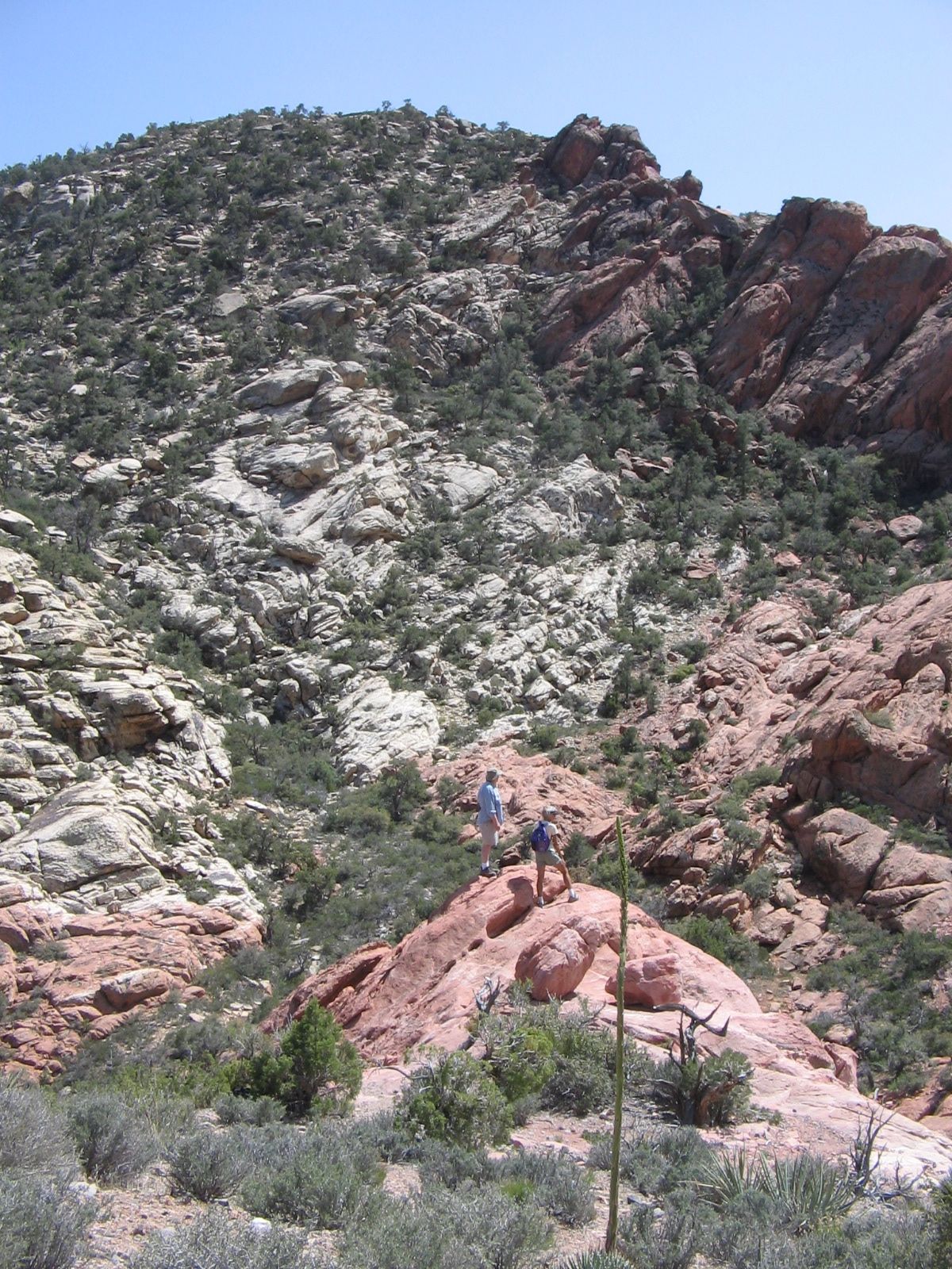 Approaching the downhill section of the hike.
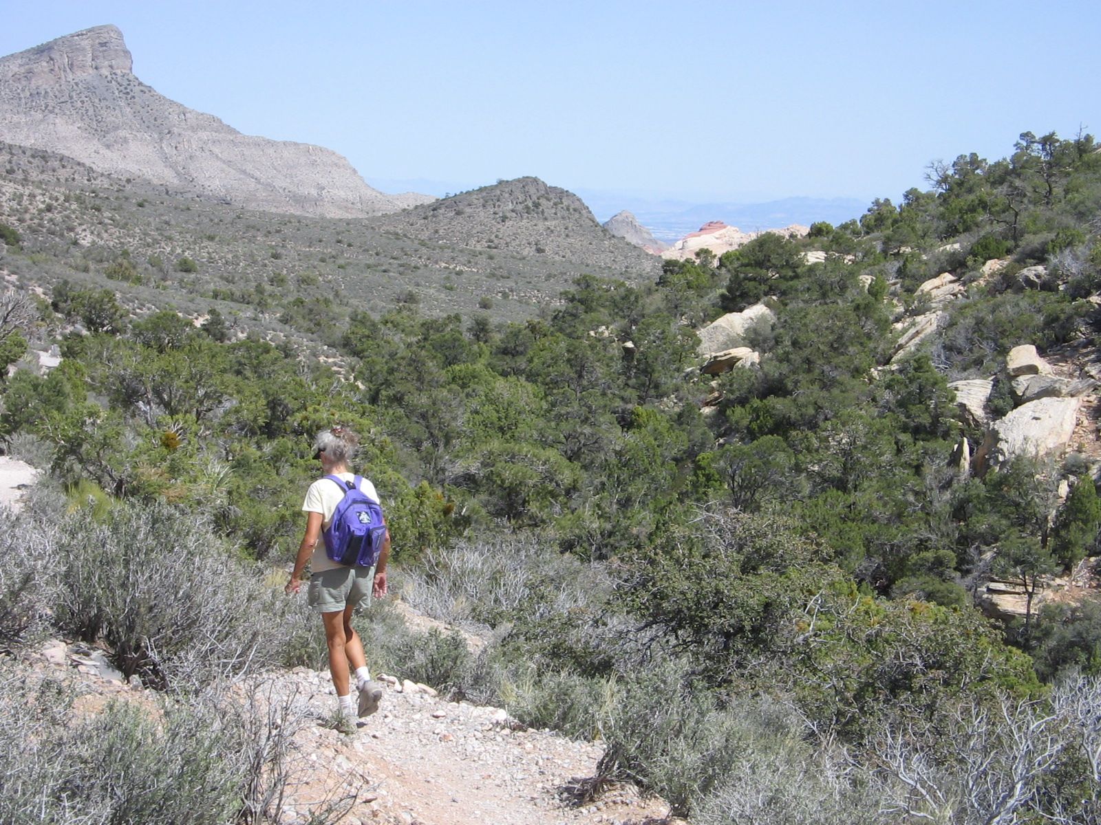

Notice the road that we were driving on in the upper righthand corner of the photo.
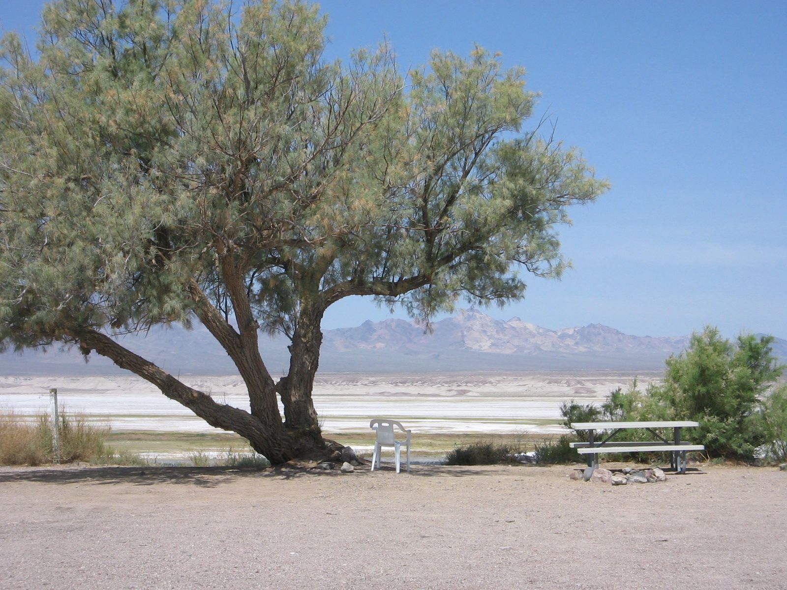 Our campsite at Tecopa Hot Springs Resort.
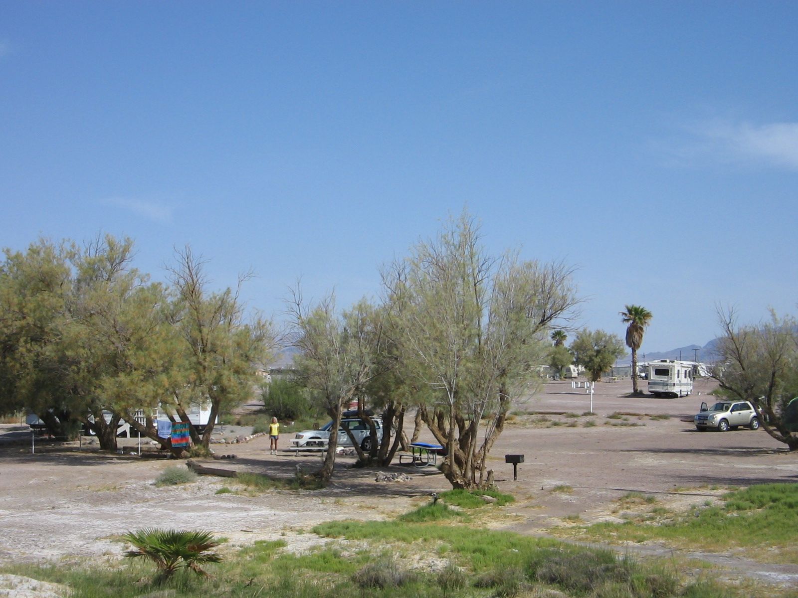
 On top of the red mound in the dry lake at Tecopa Hot Springs.

The first week in May and there we were on our way to spend some time in sunny, southern California. We thought our weather troubles would be left behind. What we didn’t know is that in May the Los Angeles area is subject to a localized weather phenomenon called the Catalina Eddy<. This causes the chilly "May Gray" and "June gloom" that our hostess, Meg, told us has arrived like clockwork every May and June since they have lived there.
Tuesday evening driving around the San Gabriel Mountains to the north of LA, on our way to Matt and Meg's North Hollywood neighborhood, we found ourselves driving from hot, sunny desert conditions into a cool, drizzly gray day. Meg assured us that it had been warm and sunny in the days preceding our visit. And the weatherman predicted that the cloudy weather would only last for a couple of days. But it still made us feel that we somehow manage to drag bad weather around with us wherever we travel.
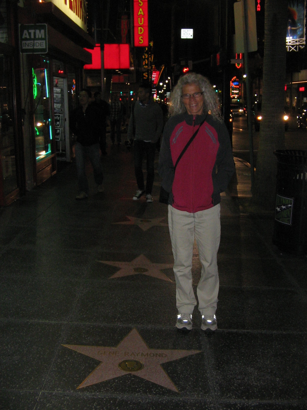
But, regardless of the weather conditions, we couldn't have had a warmer welcome by Matt and Meg. They weren't able to take time off from their jobs, but they were very gracious hosts, providing us with information as we explored on our own during the 3 days we were there. Wednesday evening Matt drove us to downtown Hollywood where we had dinner and strolled the "Walk of Fame."
Walk of Fame in Hollywood.
An afternoon bike ride in LA that included some miles on the Chandler Avenue Bike Path.

Thursday and Friday we had the pleasure of visiting with Agnes, who had made the trip from Phoenix to spend several days at Matt and Meg’s.
Friday after lunch we said our goodbyes to North Hollywood and continued our California travels. The Catalina Eddy effect had dissipated, leaving clear, sunny skies, although a bit on the cool side. Now that the sun was back we felt we shouldn’t leave LA and the coast without stopping by one of the beaches. Meg had given us directions to an area where we could walk the beach, but as we drove the highway in that direction we saw a sign warning of an accident and a road closure on the road that would take us to the beach. Lee had researched a state park further up the coast where we could camp for the night so we decided to skip the beach in LA, since we would be seeing a beach at the state park.
It’s a good thing that we didn’t take the extra time at the beach in LA. Our destination, Gaviota State Park, turned out to be much further than we thought. The sign off of Highway 101 that we should have taken to enter the park wasn’t clear and we passed the entrance, which meant we had to continue up the steep Gaviota Pass to find a turnaround. We later learned that this pass is memorable not only for the views, but has the distinction of appearing in the movie “The Graduate” when Dustin Hoffman as the lost soul, Benjamin Braddock, drives a new Alfa Romeo through the mist and into the Gaviota Tunnel.
We felt a bit like lost souls when we arrived at the park. It wasn’t a good precursor that we had noticed road signs up the pass warning of strong crosswinds in the pass. We hadn’t done our homework on this particular campground. Otherwise, we might have noticed on the California State Parks web site the phrase “high winds that often blow through the area.” High winds would be an understatement for the conditions that greeted us Friday evening.
For those of you who remember our camping experience in San Angelo, Texas, when we lost a tent pole due to the wind that night, I would have to say that the winds at Gaviota were much worse than that. It was too windy to light our camp stove so we drove into nearby Buelton and ate dinner at a restaurant. We came back to the campground and sat in our car as long as possible, putting off the task of setting up the tent. But as daylight faded we couldn’t put it off any longer and got out to wrestle with the hurricane force gusts to get the tent up and anchored before it was snatched away. Lee blocked some of the wind’s force by turning the picnic table on its side and setting it next to the tent!
A combination of tent tiedowns, upended picnic table and a lot of prayer saw us through the night intact with no broken tent poles. I can’t say that I got a whole lot of sleep that night, but when you don’t have to get up for work the next morning, a bit of lost sleep isn’t that big of a deal. And at some point before daylight, the wind did begin to die down. By the time the sun was up we were able to boil water for our morning tea and set up our camp chairs next to the car, blocking what was left of the wind’s force and enjoying some time in the sun.
The beach at Gaviota State Park, fishing pier in the background. We saw a whale swimming near the shore around the end of the pier.
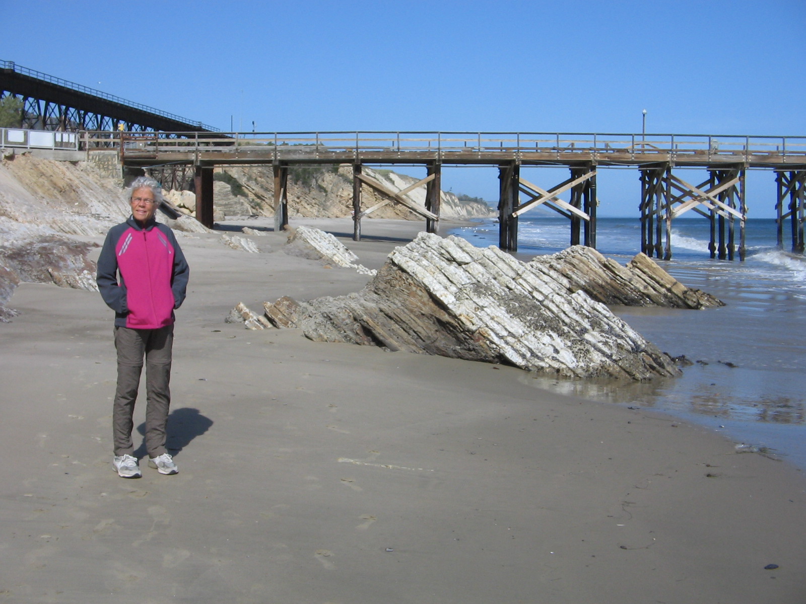
Railroad trestle at Gaviota State Park. The campground is to the left of the railroad trestle.
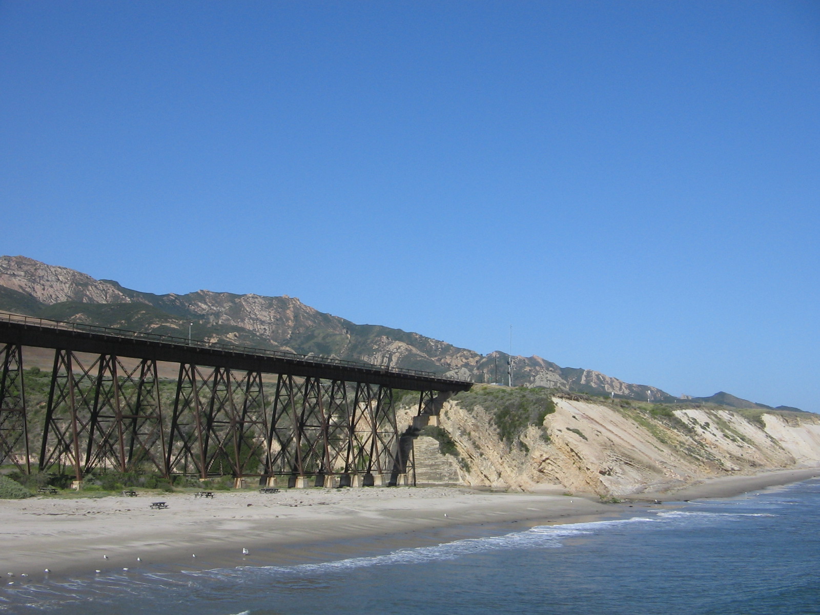
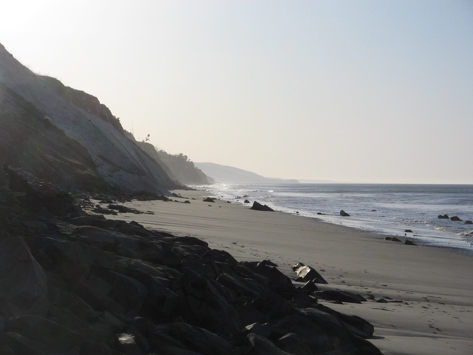
Morning view down the beach at Gaviota State Park.
Our travels yesterday took us through a varied landscape as we made our way from Gaviota to Fresno, avoiding major interstates whenever possible. The highway first crossed the beautiful Santa Ynez and Sierra Madre coastal mountain ranges, green and lush with new spring growth. This gave way to the flat, desolate Carrizo Plain, marked with numerous oil wells that made me think I was back in eastern New Mexico and west Texas. Finally we reached the vast agricultural areas of the San Joaquin Valley. The climate here in Fresno is more to my tastes–dry, warm and sunny. This morning has dawned calm with no winds in sight. As we travel again towards the Sierra Nevada mountains of Kings Canyon and Sequoia National Parks, I’m sure that the weather won’t always be warm and sunny, but it’s all part of the great adventure.
In contrast to our windblown camping experience last weekend, the weather for the two days we camped at Millerton Lake State Park was absolutely perfect. Added to that was the beauty of the area. Gaviota, being the first time I’d camped in a California state park, had not left me with a very good impression of state parks in California. But Millerton Lake changed that and I would rate it as one of the best places we’ve camped so far.
Our campsite at Millerton Lake.
View of the cove from our campsite.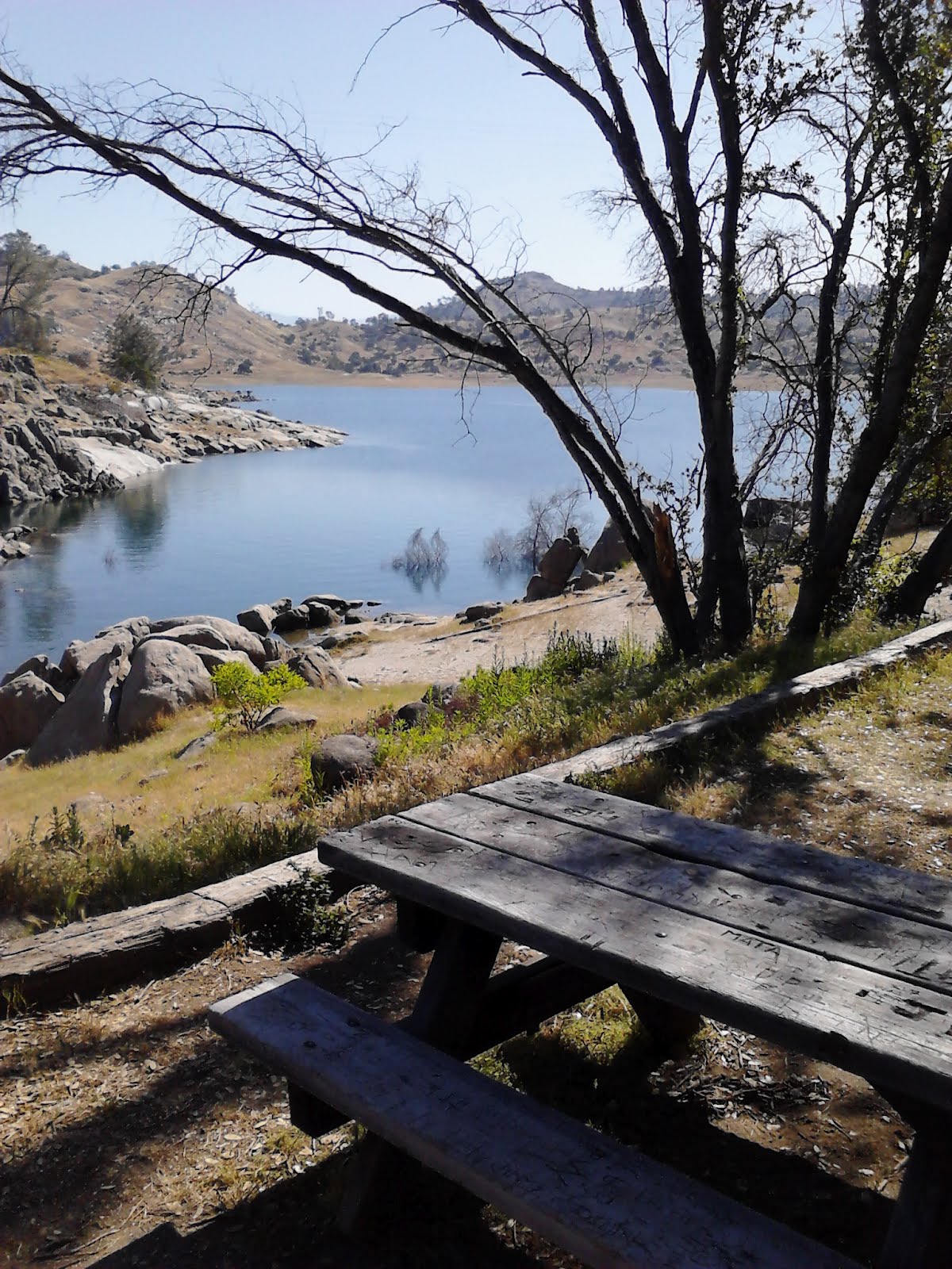
Driving in on the road to the campground. We were on the Rocky Point loop, which is the point of land visible across the water.
Most of our two days camped at Millerton were spent exploring the nearby city of Fresno, California. We took a couple of bike rides, and found the city to be bike friendly.
One of the bike trails, a rails-to-trails route called the Clovis Old Town Trail, went into the nearby town of Clovis.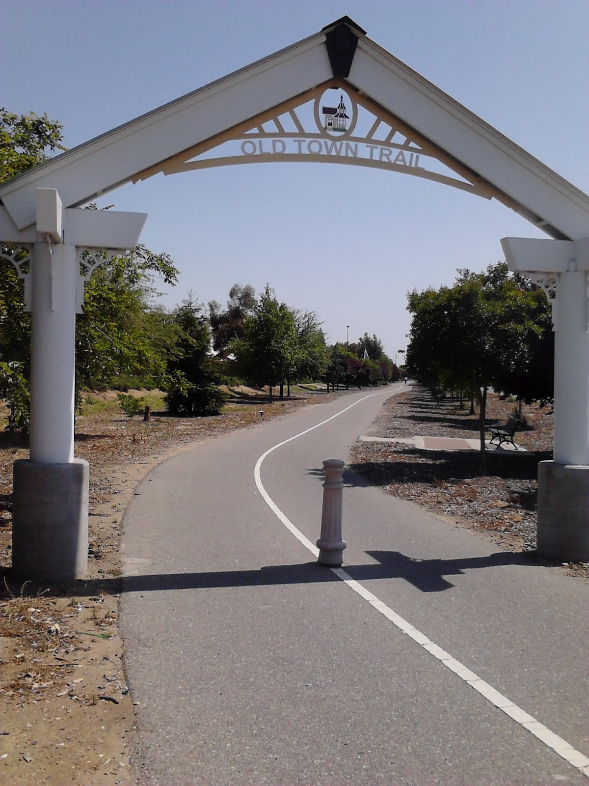
The second day we rode on a bike path that paralleled the San Joaquin River.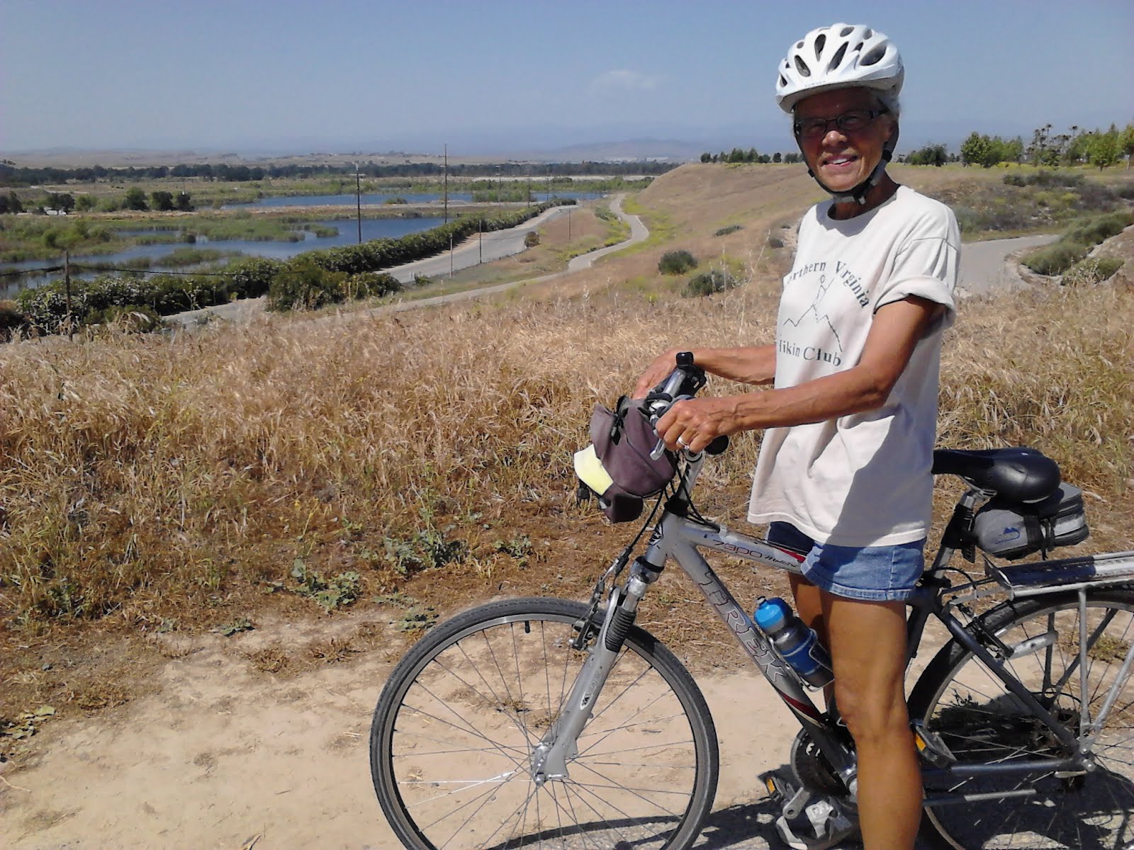


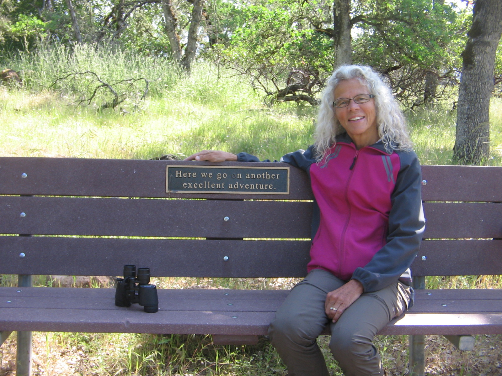
The sign on the back of this bench seemed so appropriate for the incredible journey we have been on. The bench was a viewpoint stop on a hiking trail that we walked after breakfast this morning. Let me fill you in on the latest news of our travels and explain where we were on our morning hike.
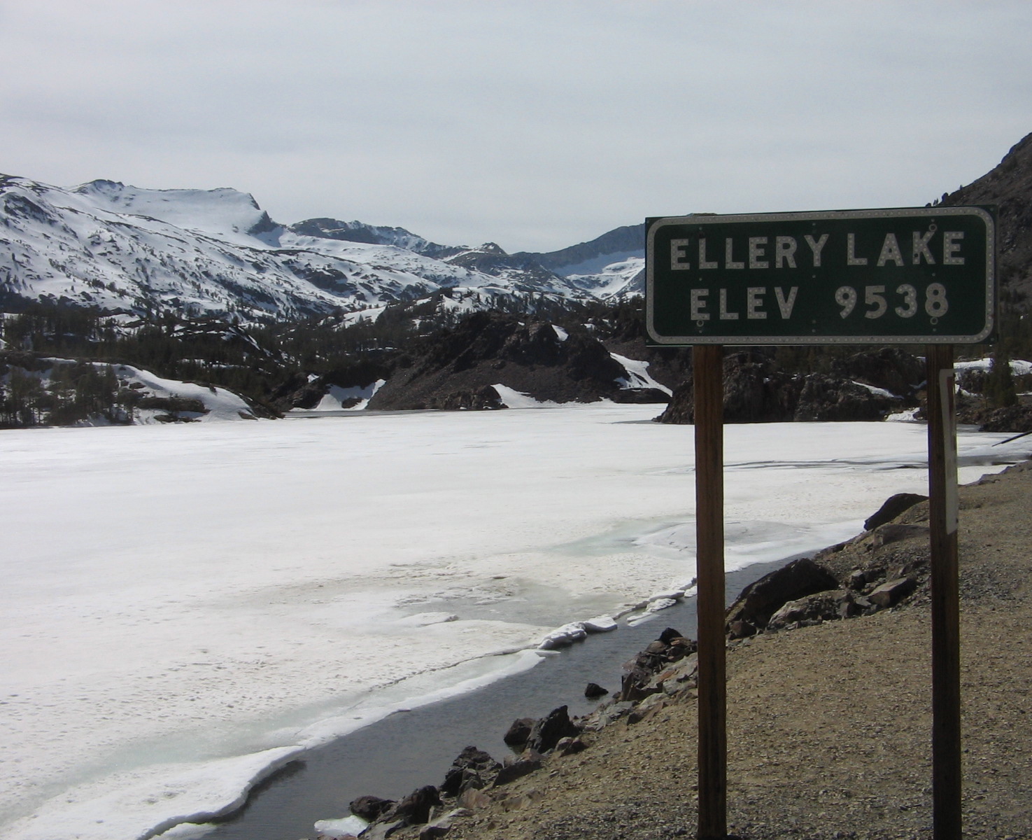
We left Carson City, Nevada, Thursday morning, driving around Lake Tahoe and then over the Sierra Nevada Mountains on the Carson Pass Scenic Byway. Both of us had been around Lake Tahoe before and knew what a beautiful place it was. But Carson Scenic Byway was new territory and we were both caught by surprise at the awesome scenery on the 58-mile route. There’s definitely a reason for its scenic byway designation.
Lunch stop along Carson Pass Scenic Byway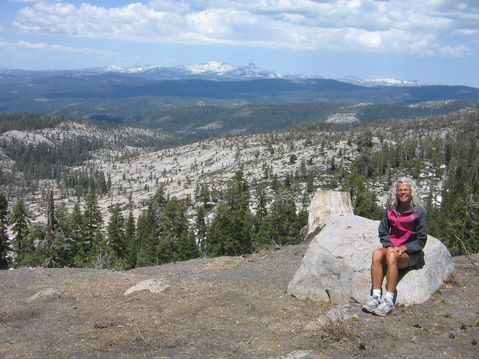 A lake viewed along Carson Pass Scenic Byway

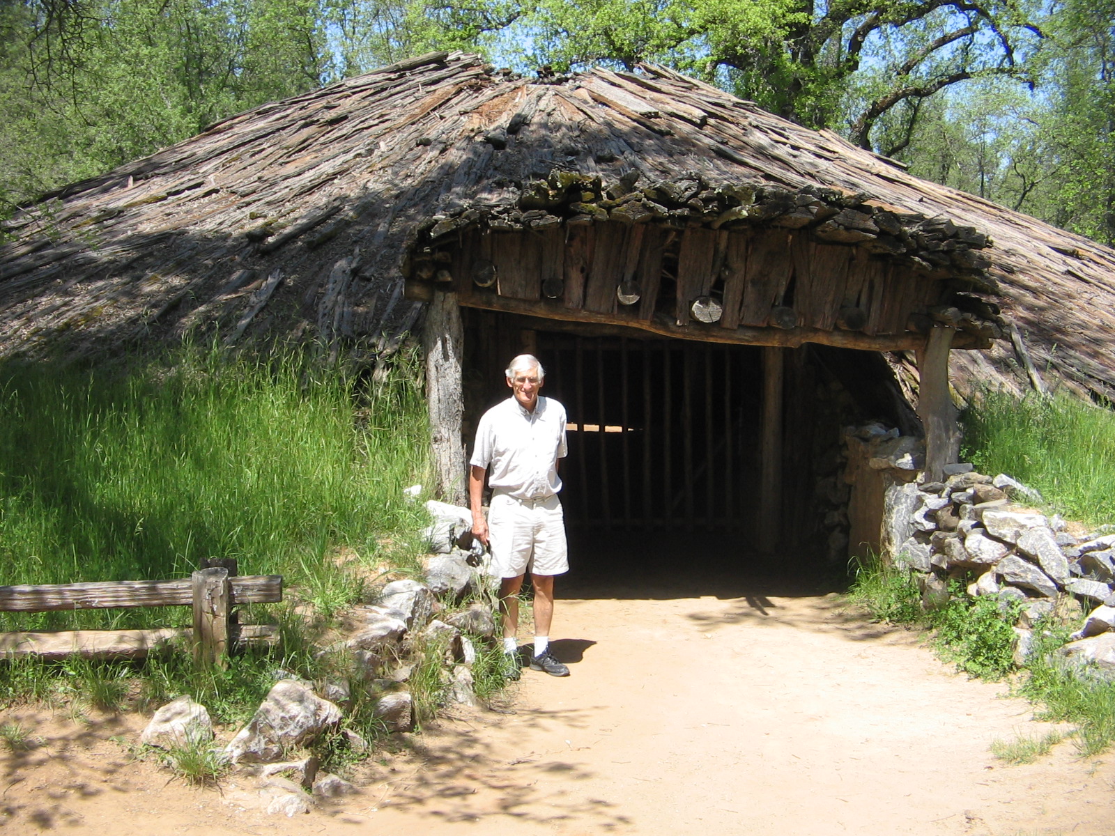
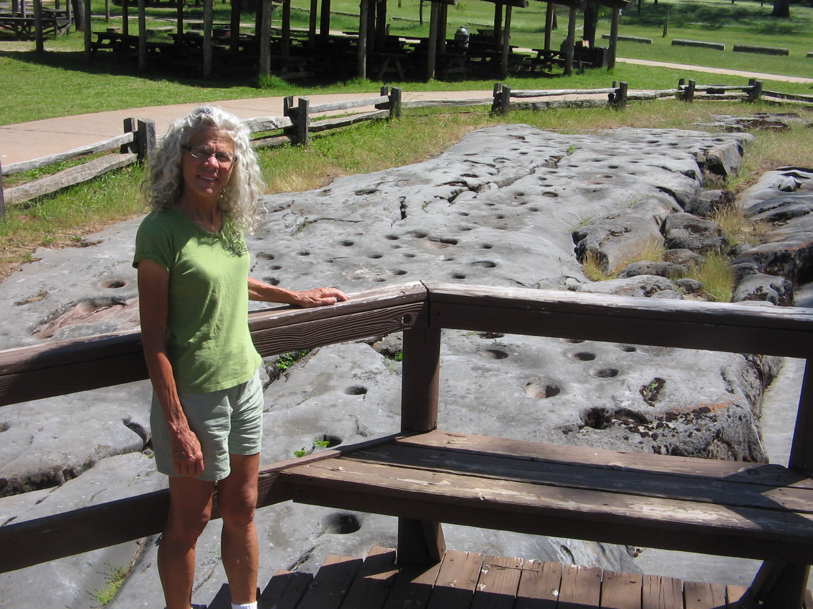

Besides the history at Indian Grinding Rock, we had the opportunity Friday, as we were leaving the area, to drive through Volcano and Jackson, reading historic signs of the California Gold Rush days.
View outside of Jackson, California. Structure to left is Kennedy Gold Mine Frame Head.
On Mother’s Day weekend we were spoiled by the lavish hospitality of our friends, Bob and Alice, at their Rio Vista, California, home. Sunday morning worship service at their church impressed us with the friendliness and welcoming attitude shown by everyone in the congregation.
Yesterday, leaving Rio Vista and driving northwest, we passed through the beautiful Napa Valley, viewing miles and miles of vineyards bright with new spring growth. Our destination for the night was Clear Lake State Park on the shores of California’s largest natural lake. This campground was very quiet; no noisy peacocks to prevent a good night’s sleep. We had enough energy and time this morning that we were able to enjoy a hike on a forested trail over the ridges that surround the park and overlook the lake. One of the stopping points was the bench in the photo at the start of this post.
Trail at Clear Lake State Park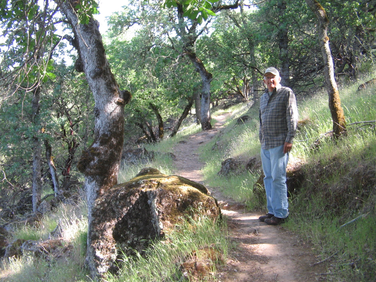 View of Clear Lake
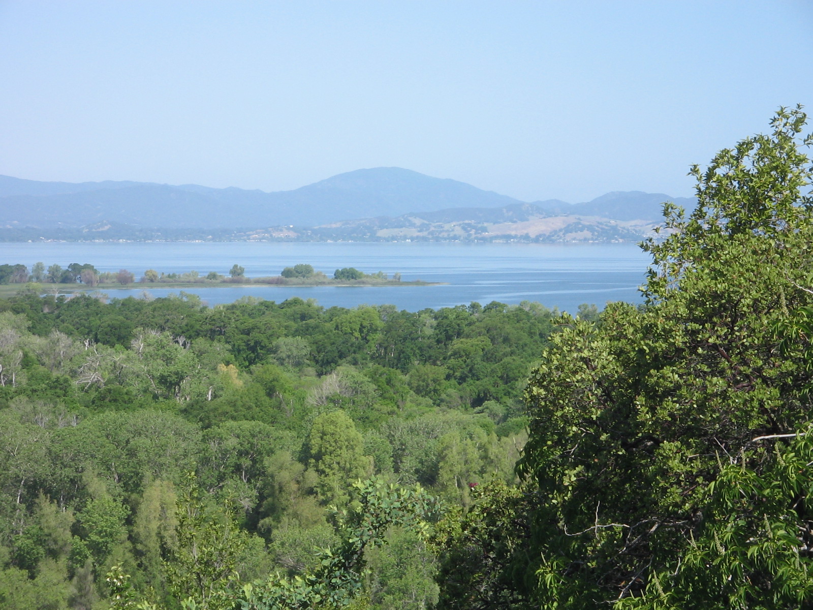 Mount Konocti volcanic peak on south end of Clear Lake
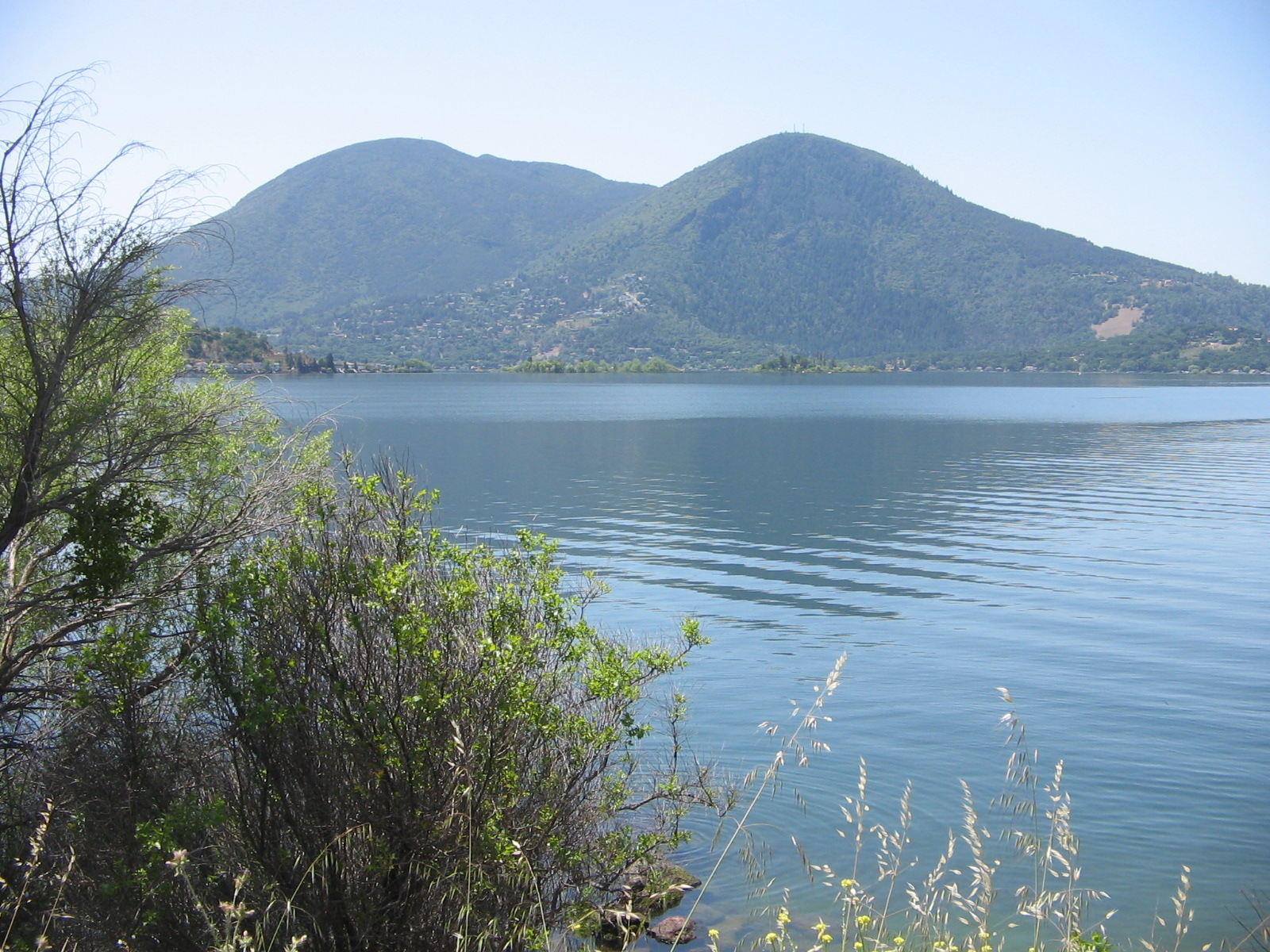
Tonight we took a break from camping and are in a motel in Chico, California. The weather has been great and we hope tomorrow evening to be camping again around Susanville, California.
Our travels have brought us to my daughter’s house in Medford, Oregon, where we are enjoying a week of rest and relaxation as spoiled guests at her home. She and her husband have both taken a week of vacation from their jobs to spend extra time with us.
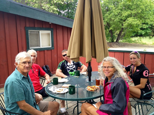
Enjoying a coffee break in Jacksonville, Oregon, after a Saturday morning bike ride with family and friends
Our two granddaughters will still have school this week, but we are enjoying their company weekends and evenings. Everyone attended church together this morning and now it’s nice to spend a quiet afternoon at home.
Last week’s camping excursion in Lassen National Forest at Eagle Lake Recreation Area was short, but enjoyable. The lake is California’s second largest natural lake, which we thought was interesting, since we had camped just the week before at Clear Lake, the largest natural lake in California.
Eagle Lake in Lassen National Forest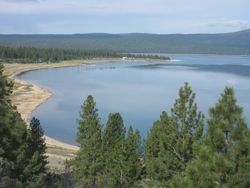
The 2 lakes are very different in their environment and surroundings. There is much more development around Clear Lake, since it is so close to farmland and populated areas. The Clear Lake campground we were at was in a state park. Eagle Lake, about 15 miles from the small town of Susanville, is in a national forest, isolated and undeveloped.
View of Susanville on the road that winds from the mountains down into the valley.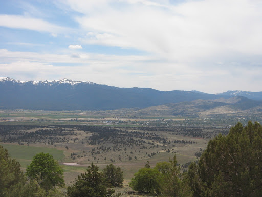
The Lassen National Forest campgrounds had just opened for the season the day before we arrived. National Forest campgrounds don’t have the amenities of state parks, but I thought the campground at Eagle Lake was much nicer than state park campgrounds. There was even hand soap in the bathrooms, which I have not seen in any California state parks! Another benefit is that national forest campgrounds cost less than state park campgrounds.
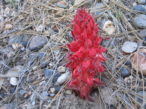
 Driving the back roads in the area around Eagle Lake we noticed a bright red flowering plant that we had never seen before. We later discovered that this was Snow Plant, a parasitic plant that grows under pine trees in coniferous forests at higher elevations. A very odd-looking plant.

Today we are keeping a close watch on the weather, not because we have any concern about camping or outdoor activities, but in hopes that the sky will be clear of cloud cover. So far today, it has been overcast one minute and cloudy the next. If it is clear between 5-7 pm we will be able to see a rare, annular “Ring of Fire” solar eclipse. There has not been one of these visible in the US for 18 years. Oregon is one of the states where the phenomenon will occur.
Even if the weather this afternoon prevents us from seeing the solar eclipse, there are so many other reasons to enjoy our time with family this week in Medford, that we will have no room for complaints.
When you’re spending time with family, the days zip by much too quickly. It’s going to be hard to say goodbye on Tuesday.
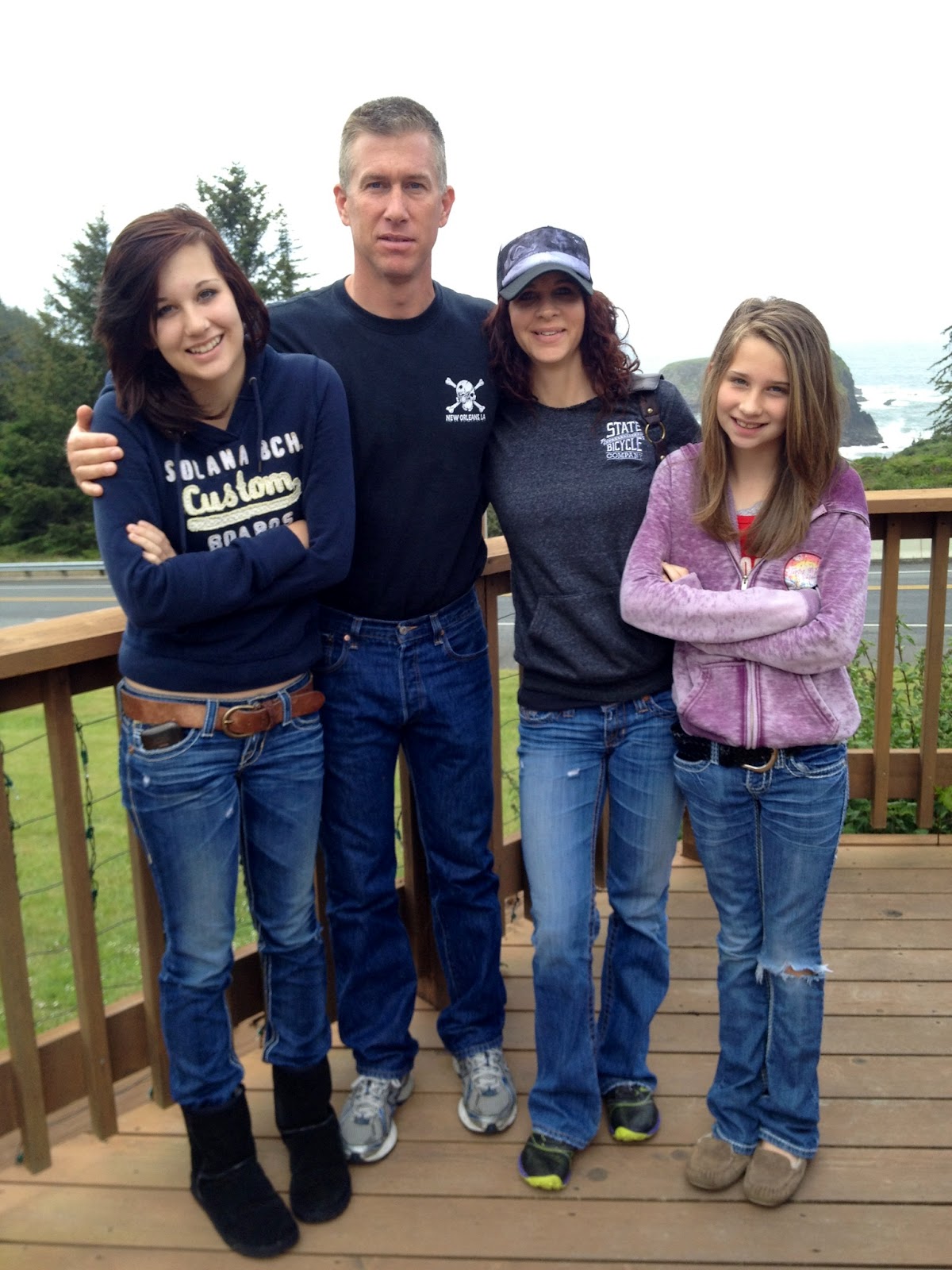
The Hill family–Daughter (wearing hat), Son-in-law and 2 granddaughters.
We’ve managed to enjoy outdoor activities in spite of the uncooperative weather. Almost all of our previous visits to Medford in past years were at the end of summer. We’ve tended to think of Medford as having a hot and sunny climate. But May in Medford is much different from July and August. Jackets and long pants that we had stashed away on our travels throughout the Southwest were dug out again from the bottom of our luggage and became our daily wear. Flowers and trees that we had seen in bloom a month or more ago were just beginning to bloom here. We were able to experience the green freshness of spring all over again.
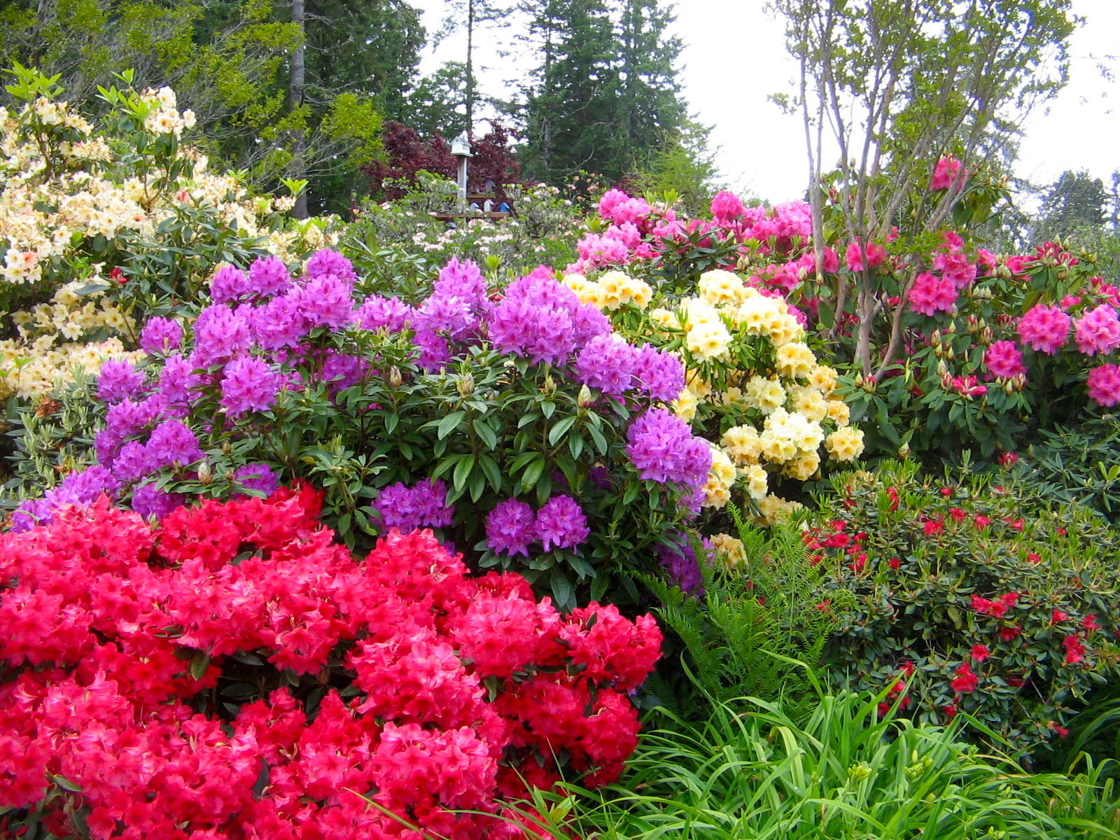
Azalea Gardens in Brookings, Oregon.
 Joining Ruth for her Tuesday Nite Ladies Ride on country roads and bike path near Medford.
 One of the roads on the Tuesday Nite Ladies Ride.
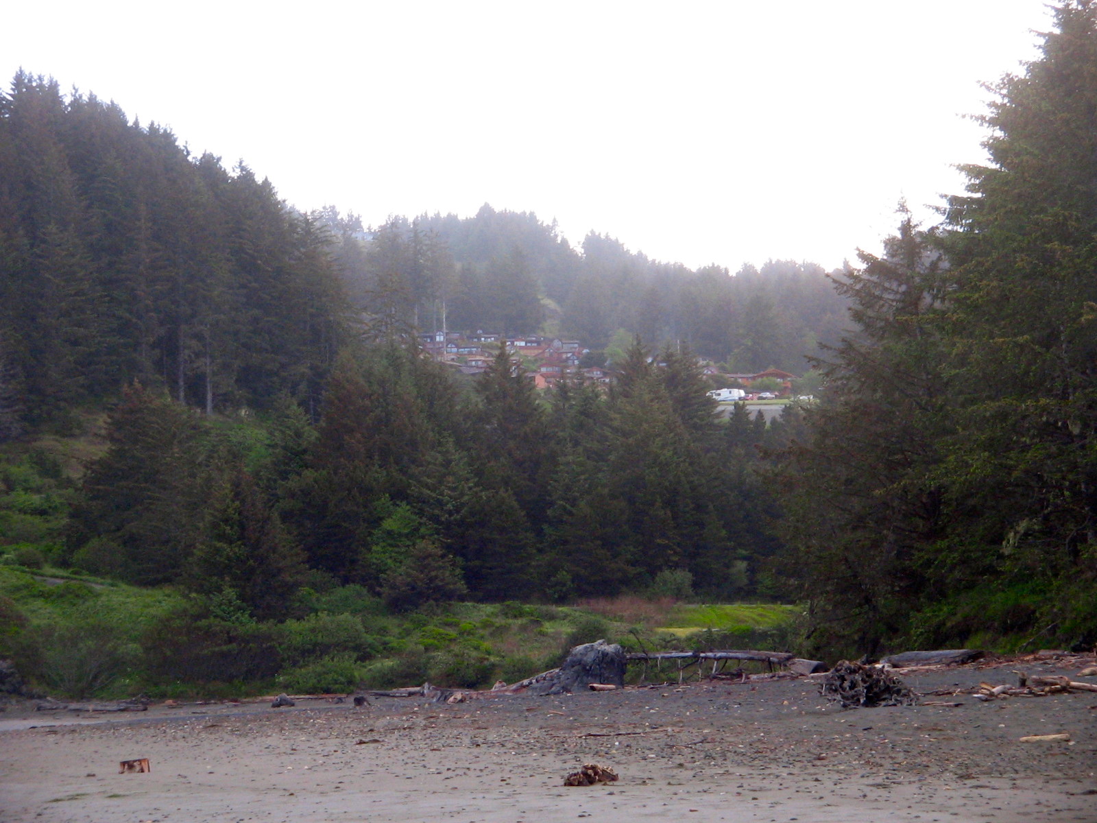
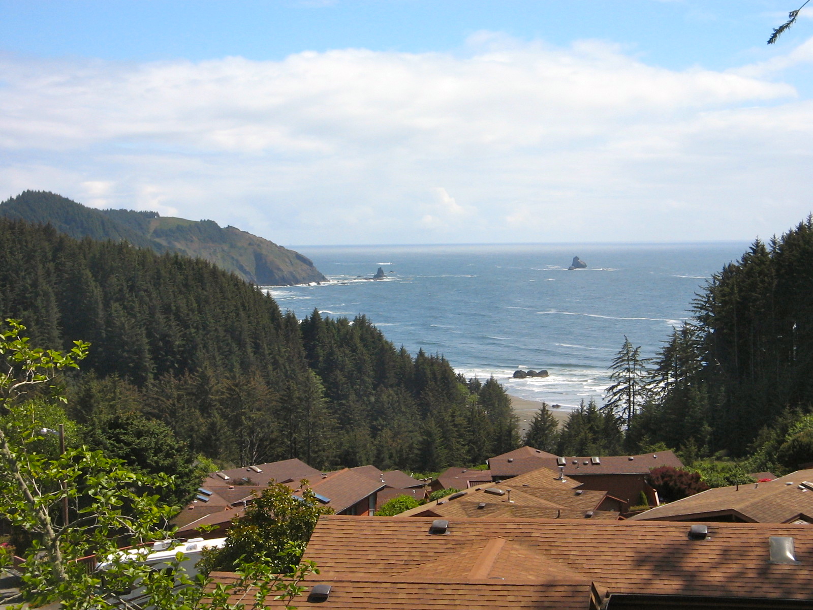
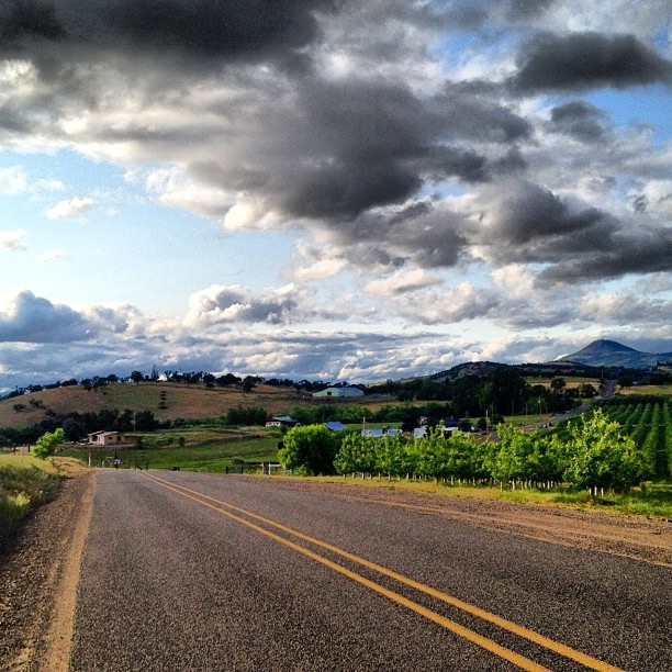 Overnight stay at Whaleshead Resort near Brookings, Oregon.
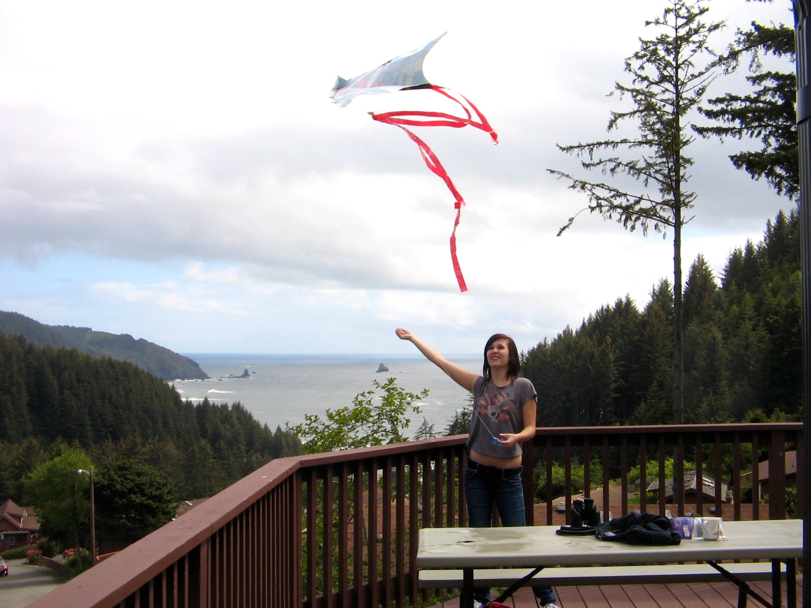
 Enjoying hot tub and kite flying on deck of Whaleshead Resort cabin.
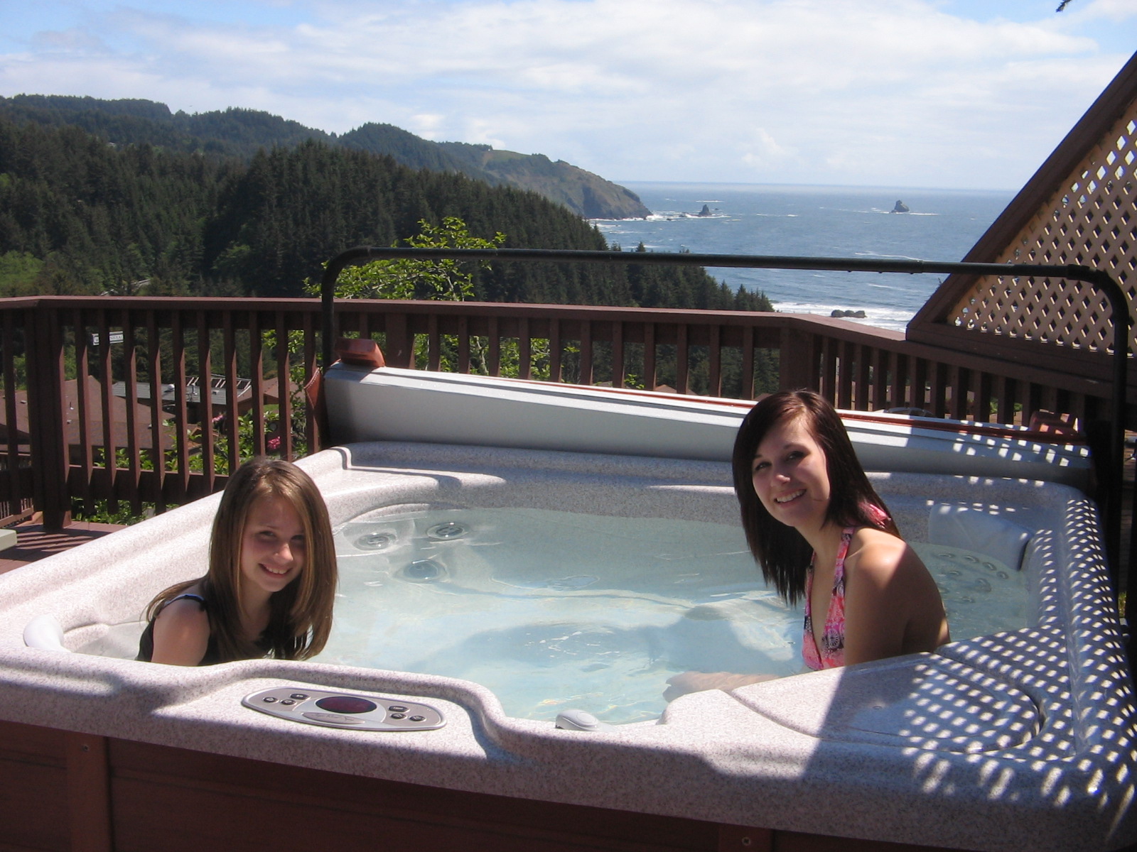
Early morning light on beach walk at Whaleshead. Yesterday Lee and I went with Ruth and Scott to Southerlin, Oregon, to take part in an organized bike tour of the Umpqua Valley. Three different loop rides were offered. Ruth and Scott rode the 65-mile route, while Lee and I managed the 45-mile loop.
The views of the countryside and Umpqua Valley were our reward for some hard uphill pedaling on parts of the loop.
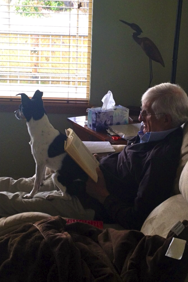
Rest and Relaxation with family dog, Mattie.