While Albuquerque bakes in the desert heat, cool mountain breezes beckon to us on this Saturday morning. Lots of other city dwellers will hear the same call and head out to spend their weekend in one of our nearby mountain ranges. Where can we go to escape both heat and crowds? Our answer is an hour’s drive to Grants and then a drive into the Zuni Mountains.
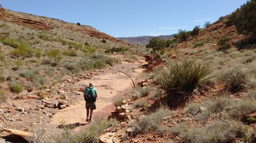
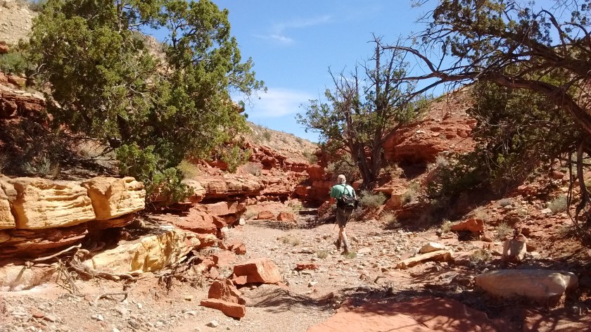
We enjoyed a refreshing 5-1/2 mile hike and only saw one other person who wasn’t in a car driving somewhere. And that individual was a Forest Service employee, not someone out for a hike. As he pointed out, very few people hike in the Zuni Mountains because there are no official trails.
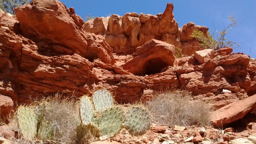
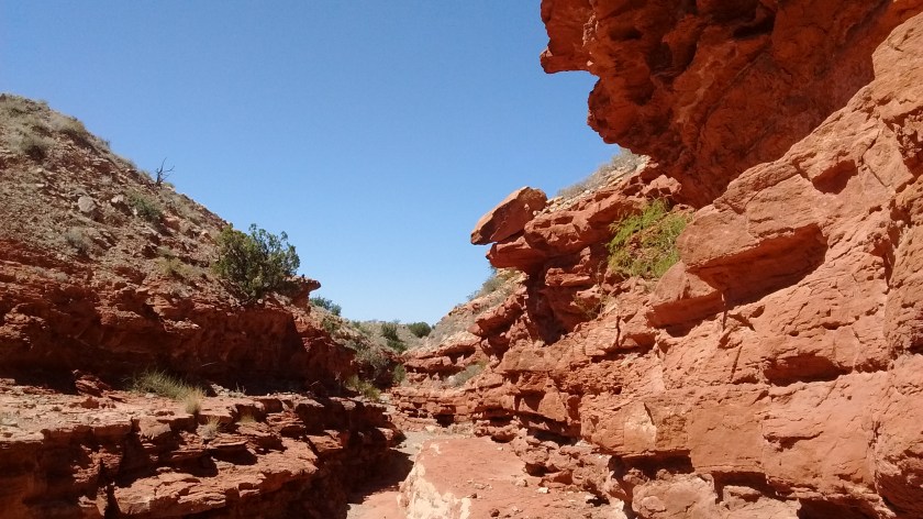
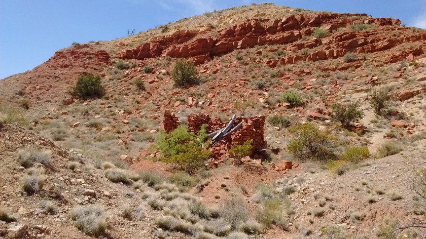
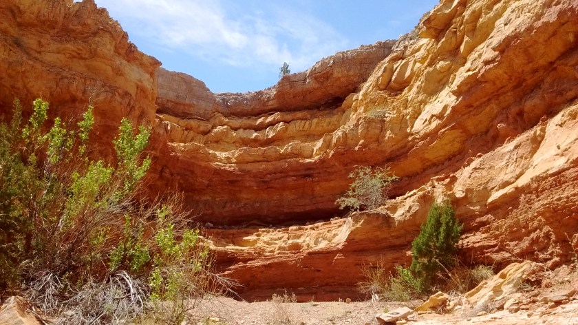
Most of the Zunis are public land, some of it part of the Cibola National Forest and some part of El Malpais National Monument. Being in a sparsely populated area of New Mexico contributes to the lack of visitors. These mountains are not as high, rugged or dramatic as the Sandias and the Sangre de Cristo, or even the Jemez Mountains. The outdoor types who visit most often are hunters and ATVers, but this time of year they aren’t out here.
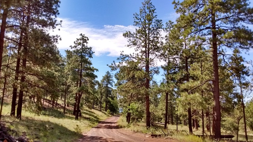
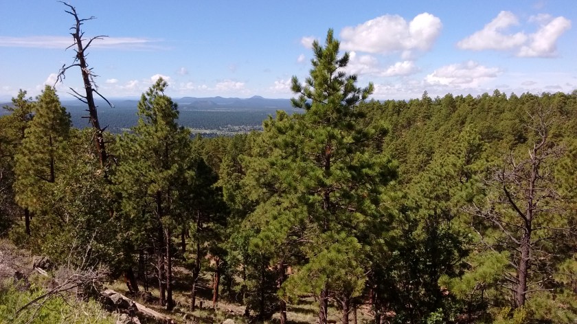
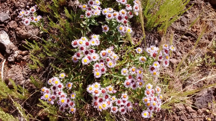
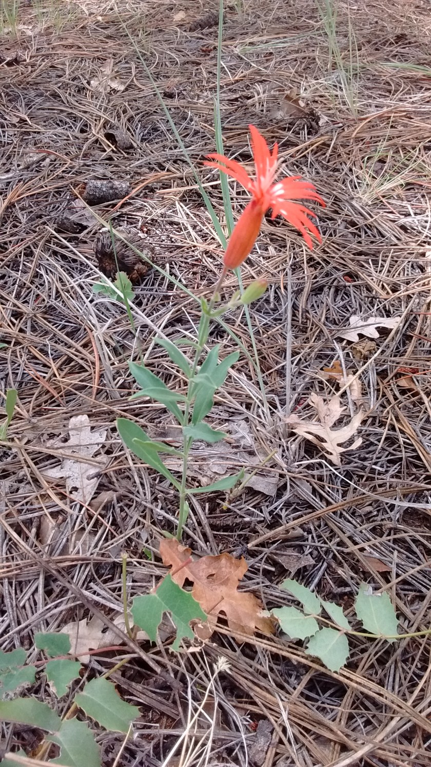
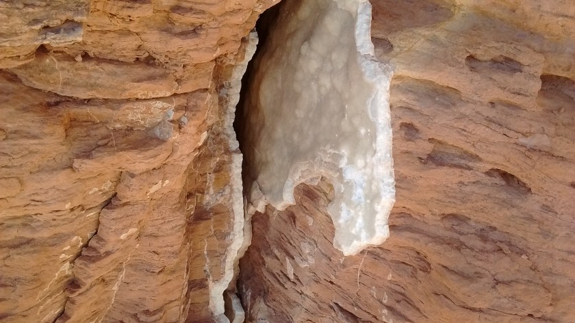
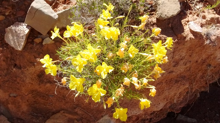
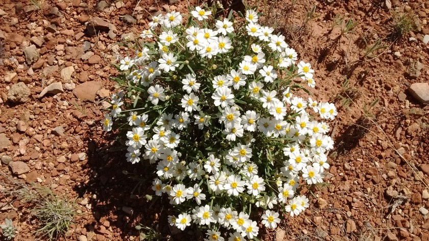
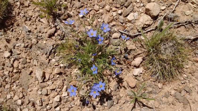
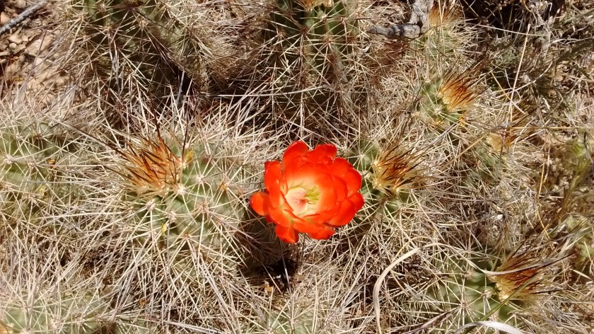
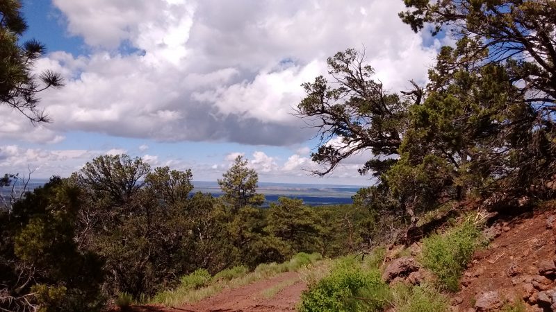
As we drive to our destination we can see that the summer afternoon showers that have been circling Albuquerque without dropping any moisture have been leaving some rainfall here. There are meadows bright with fresh green grass and sprinkled with summer wildflowers. It wouldn’t compare to the mountains in Colorado, but looks awfully good to us. I am also struck by how green the trees are. There aren’t the large areas of trees devastated by pine bark beetles that we see in the Sandias or the slopes scarred by wildfires that we see in the Jemez. And with no civilization for miles around the 360 view we see from the Oso Ridge Lookout is unbroken serenity.
Since there aren’t established trails here and we don’t hike with GPS devices, we found ourselves hiking up and back down a Forest Road. Originally, we thought we would drive up the Forest Road and then hike further along the ridge on what a book described as an old logging road. But when we started up the road it was obvious that a 4-wheel drive vehicle would be needed. So we turned around, parked the car and hiked our way up. Without anyone else being on the road it just meant we had an extra wide hiking trail all to ourselves.