Cerrillos Hills Bramble Ramble

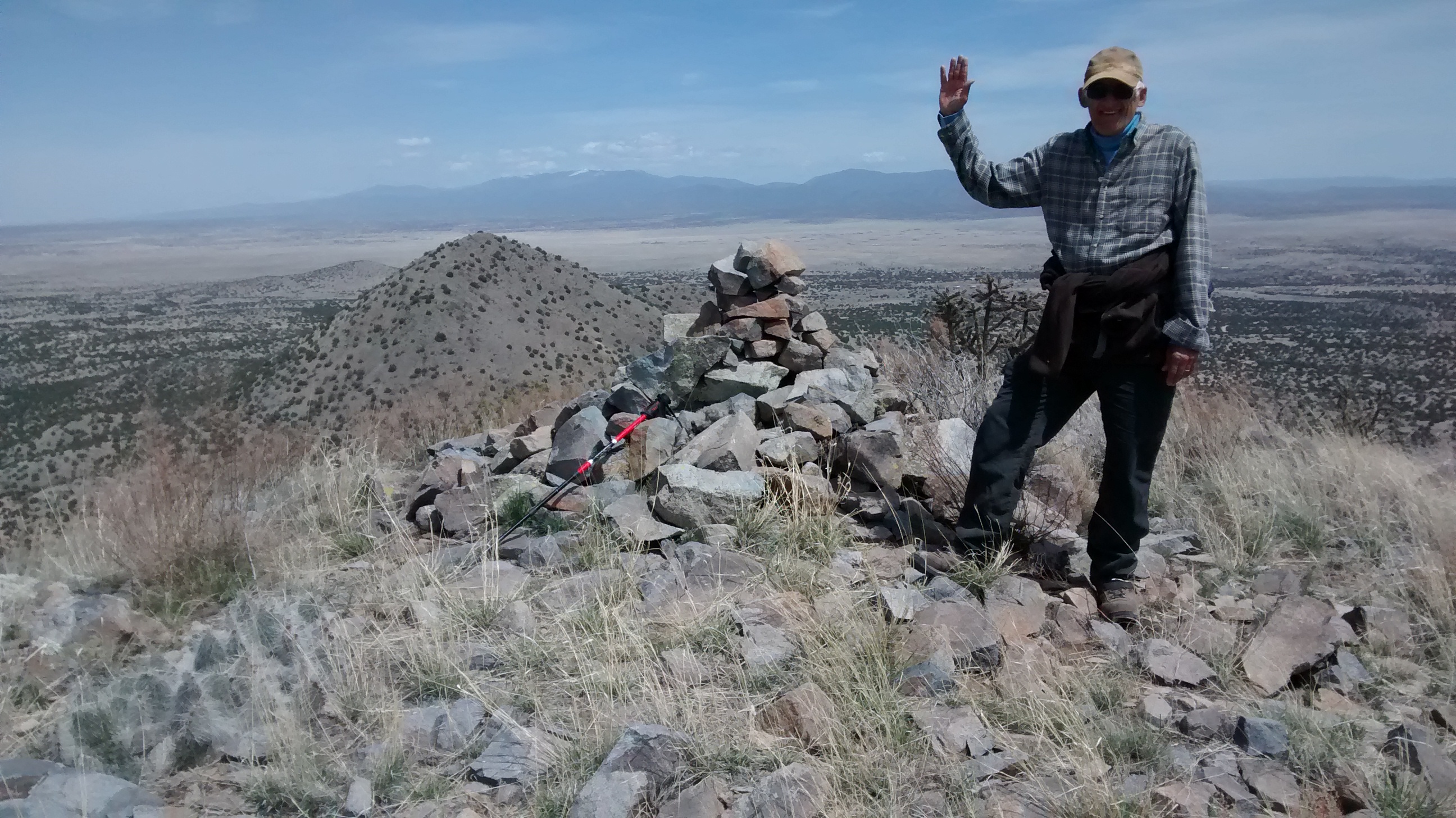
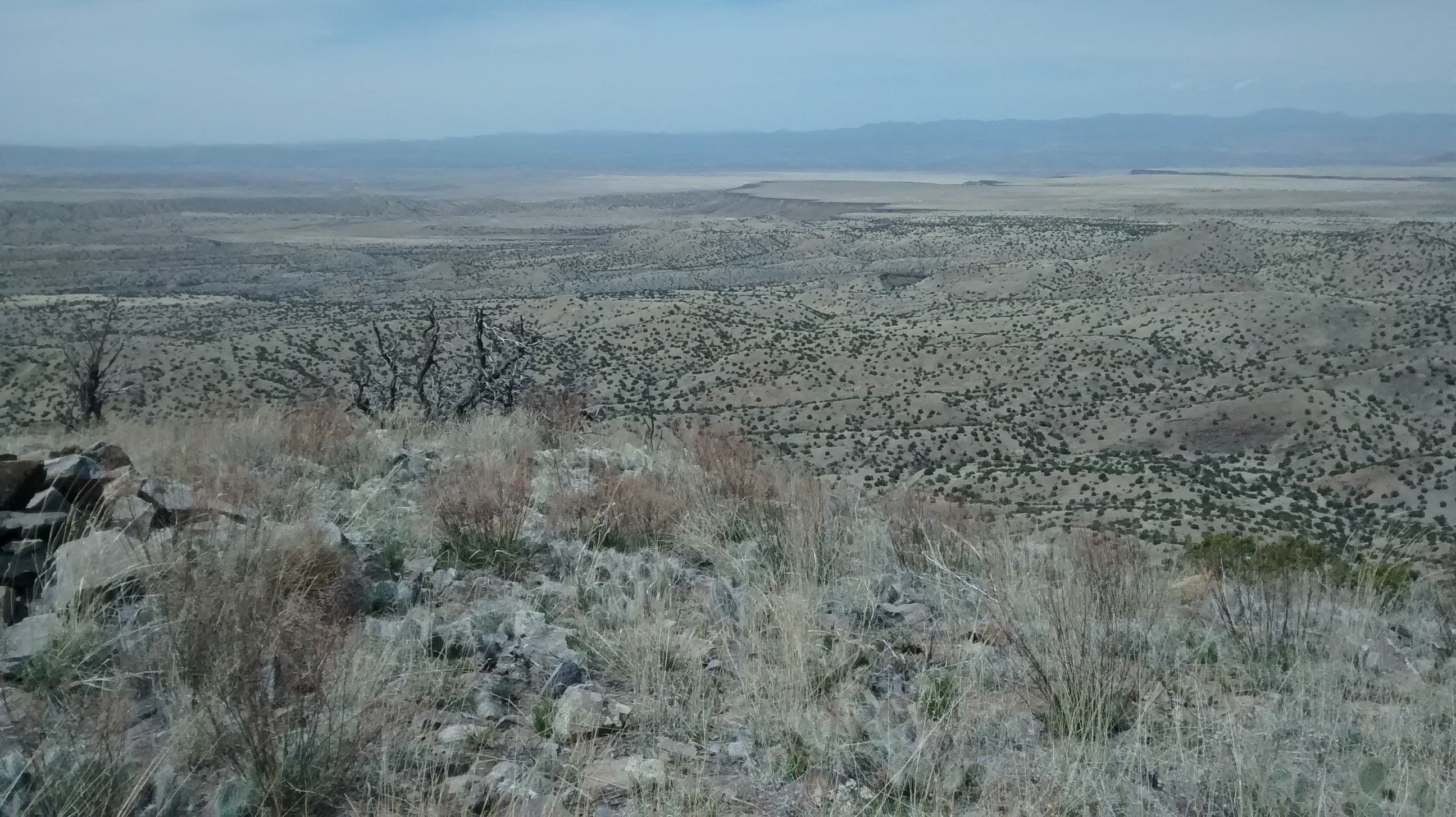
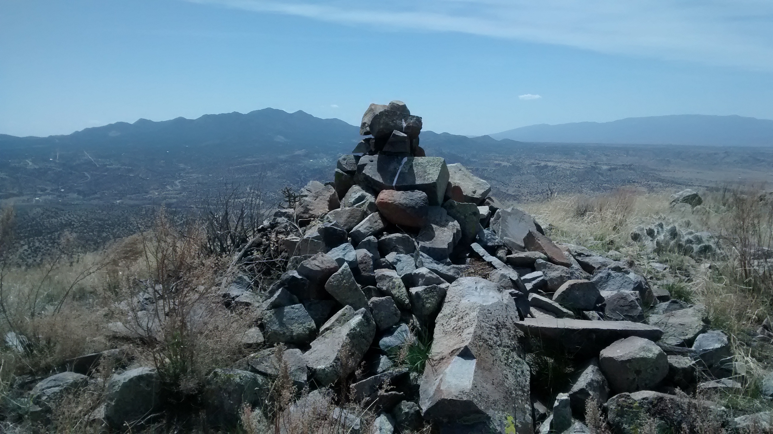
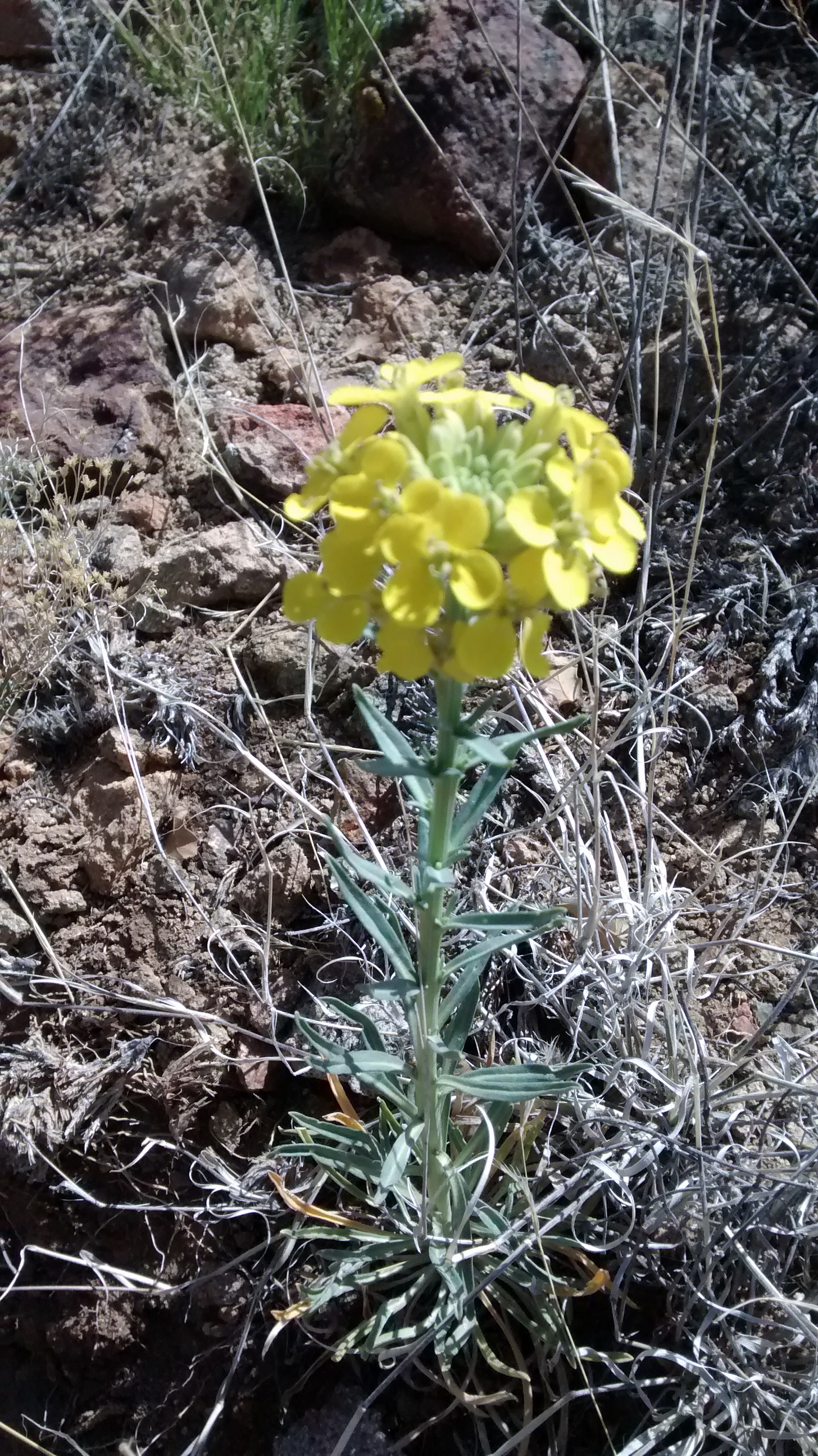
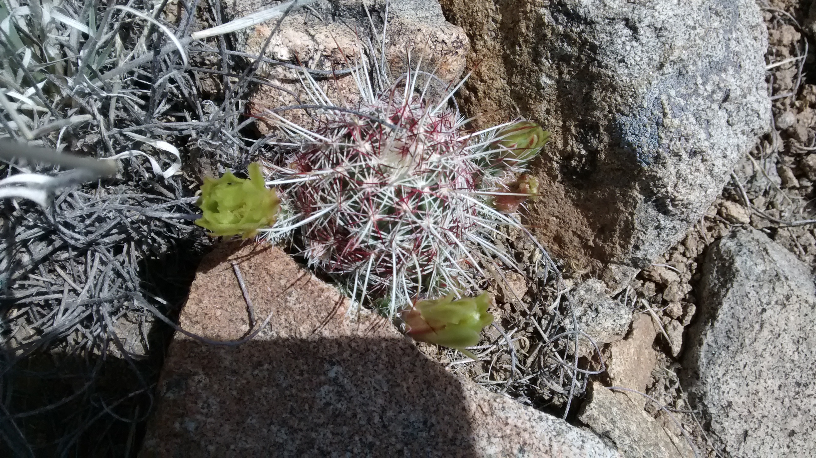
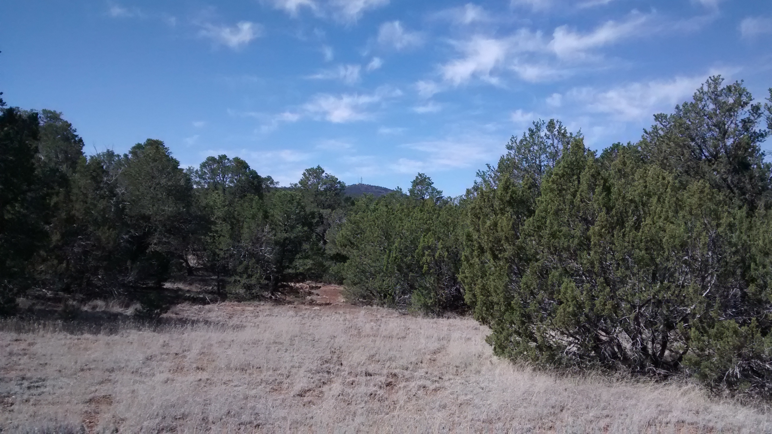
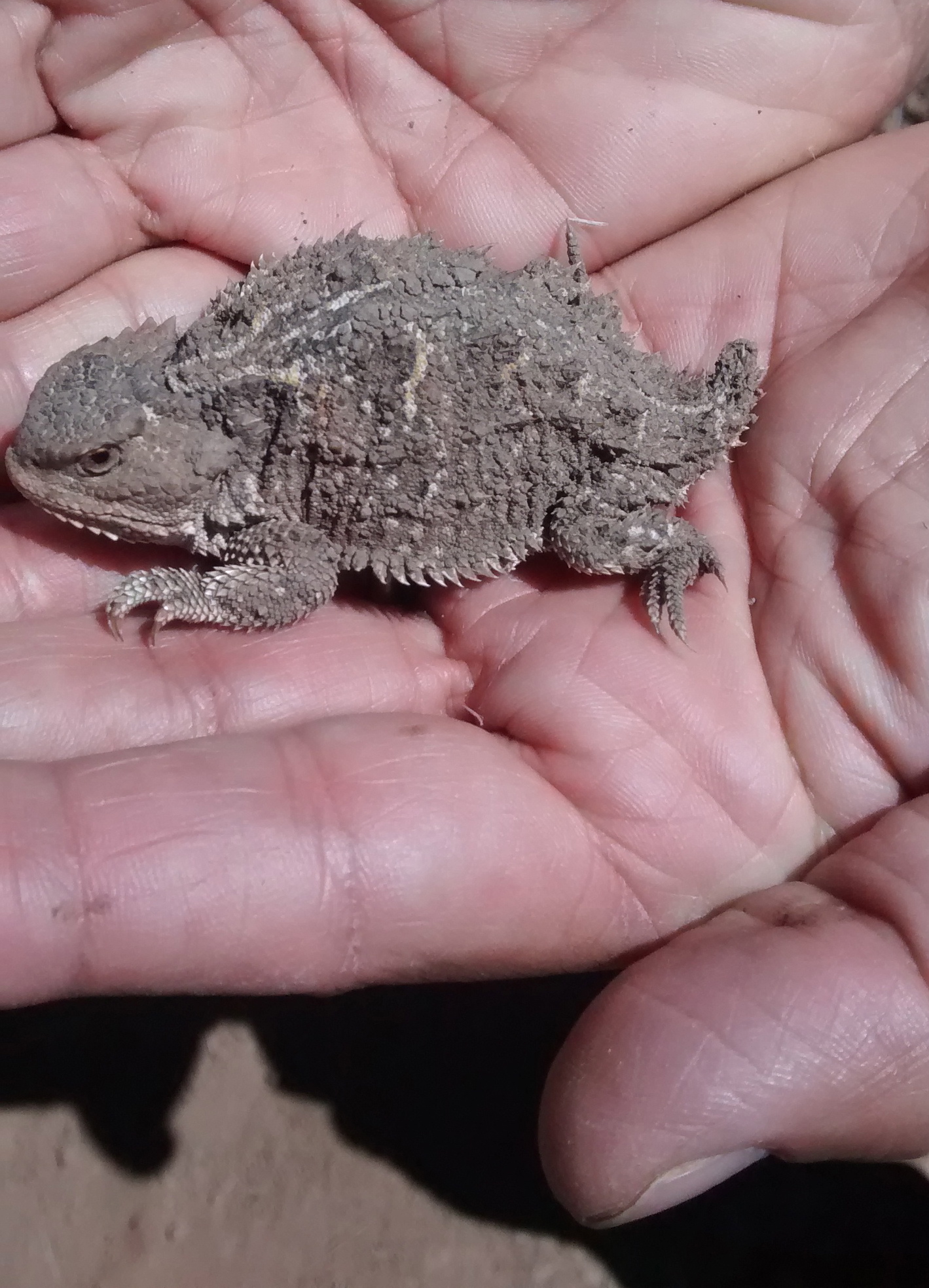
Since the Cerrillos Hills are desert country this wasn’t a ramble through brambles; rather it was a scramble through rough, rocky terrain trying to avoid slipping into the many patches of living and dead cacti blocking every turn. We weren’t always successful avoiding the cactus thorns. But we were successful at reaching our goal, the summit of Grand Central Mountain.

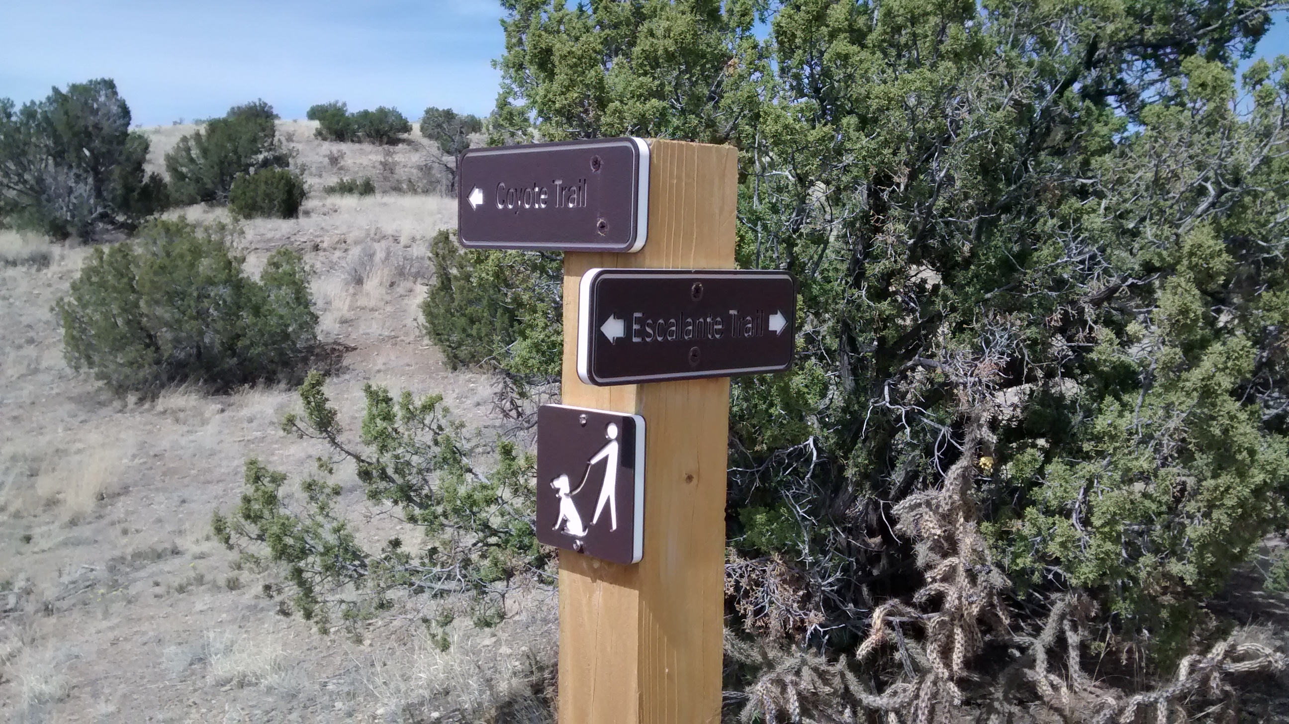
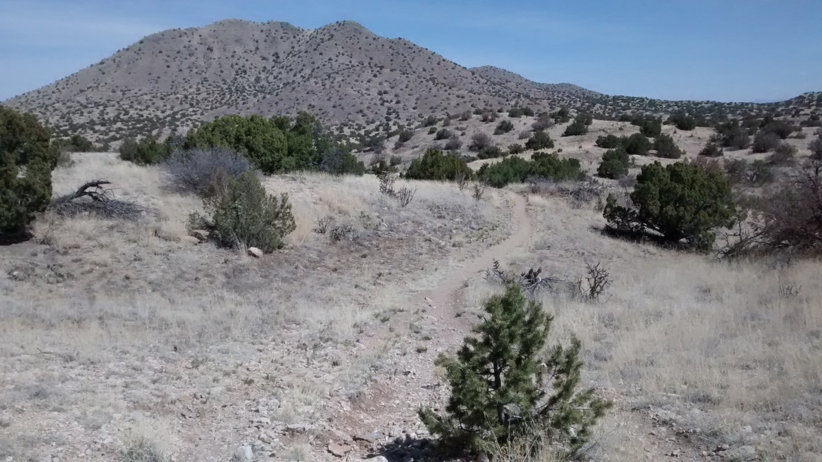
We have done several hikes at Cerrillos Hills State Park and there are many well-marked, historically interesting trails. But just north of the state park, on an area of BLM land, sits Grand Central Mountain, which has no official trail for climbing to the top. We got close to it on one of our hikes awhile back and have always meant to go back there and make our way to the top. Today seemed like a good day to do the climb.

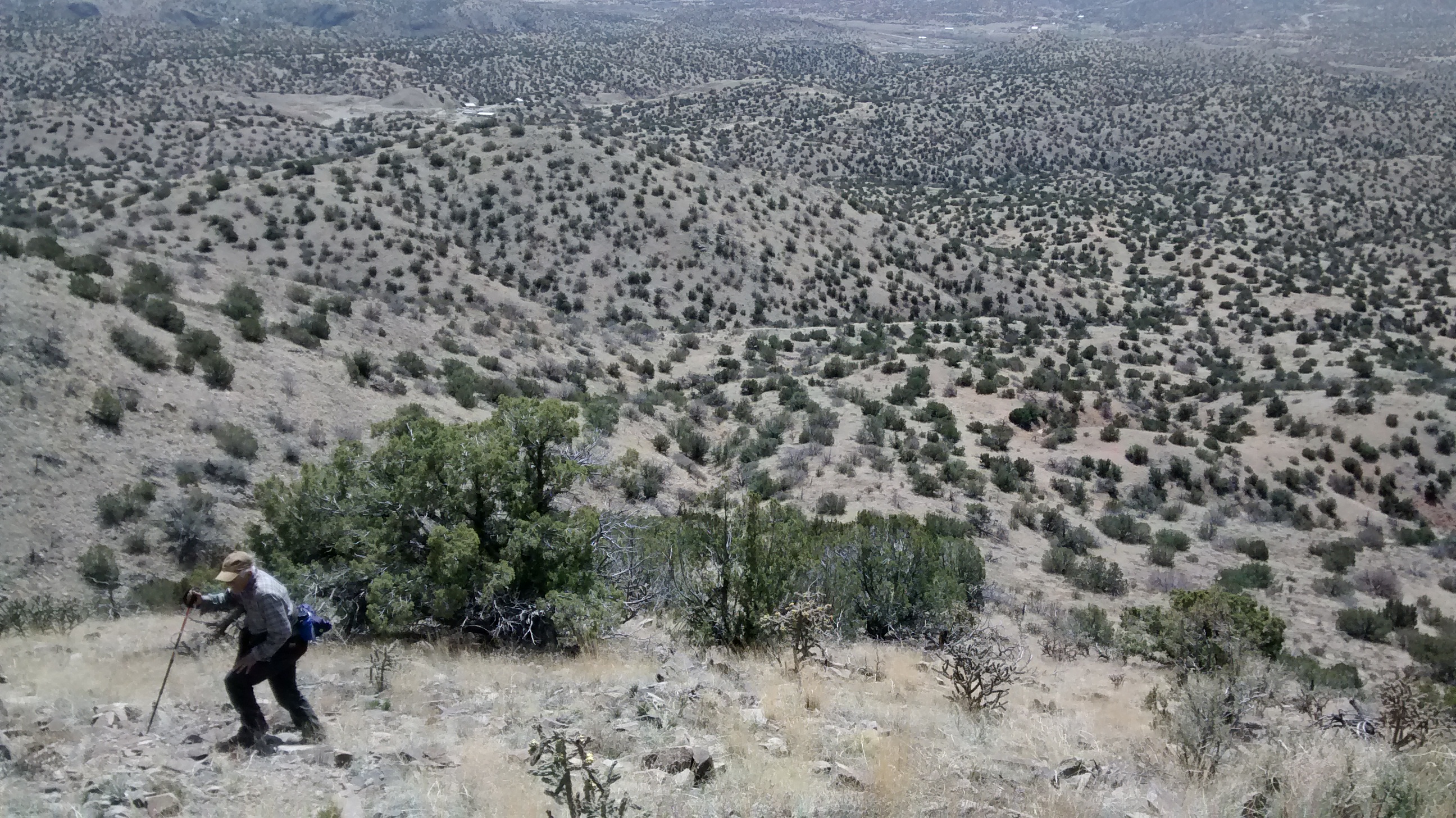
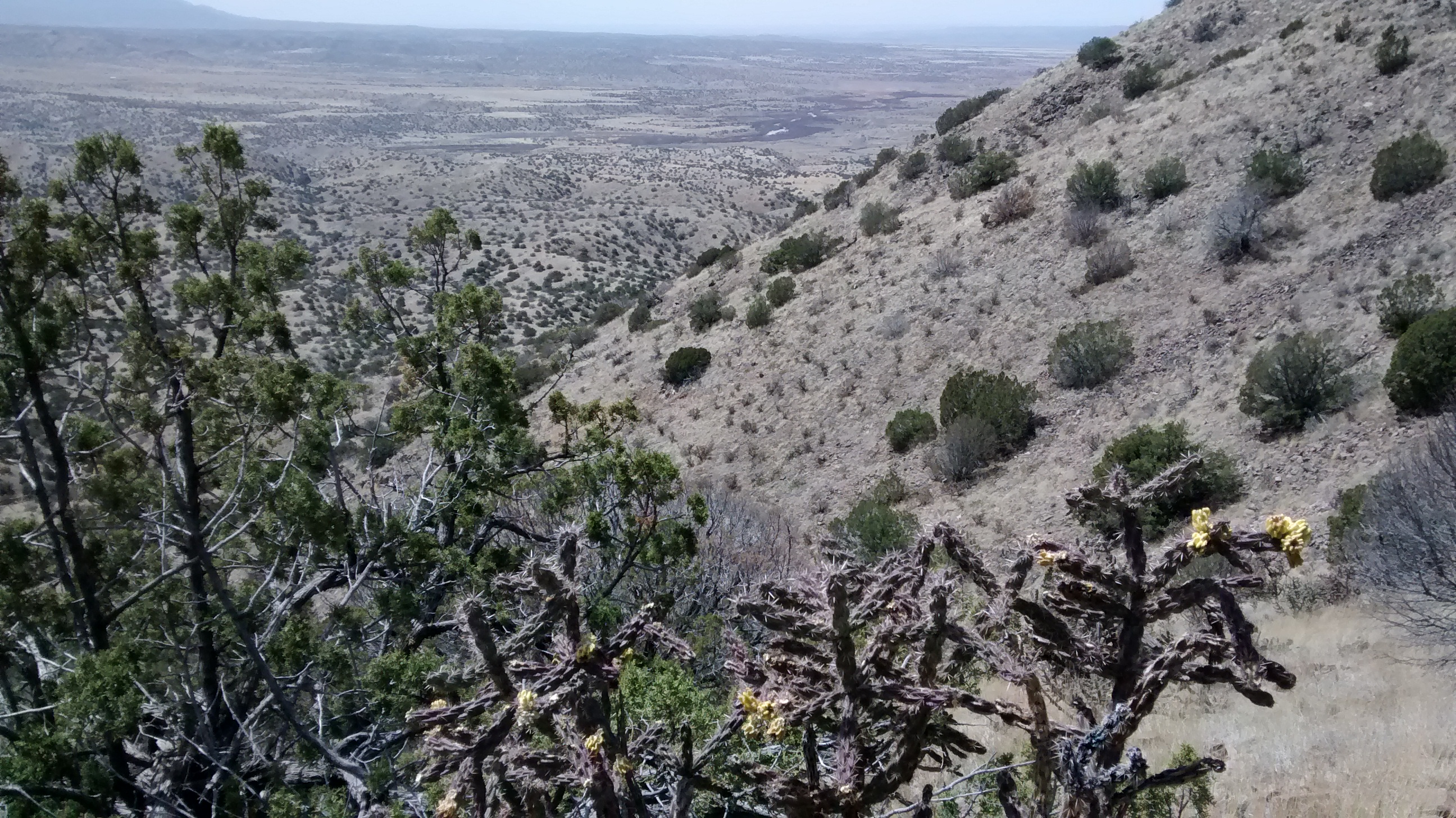
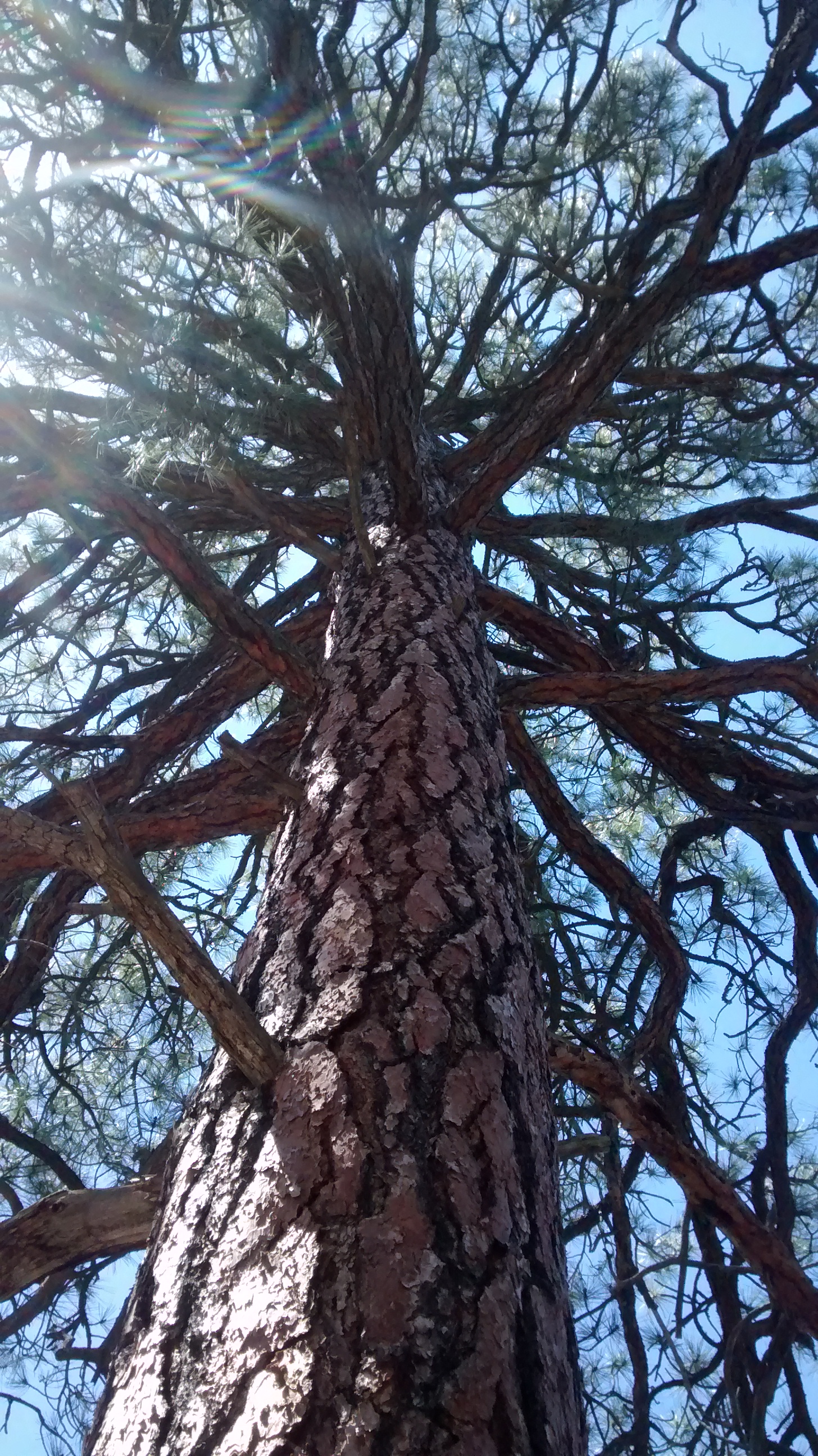
The trails in the state park that you start off on are quite a contrast to what you have to do once you leave the northernmost trail and head off towards the mountain. It’s not like this is a huge mountain, but the terrain is really rough. Cerrillos Hills look fairly benign from the distance but once you get in amongst them, there are sharp dips and steep inclines up and down through arroyos and over loose rocks and boulders. Hiking off trails through dry grasses and sticker bushes requires high-top boots or gaiters, neither of which I have, so I’m constanly complaining about getting my boots full of prickly debris.

We couldn’t have picked a better day, though, for doing this hike. In the morning it looked like it could become a windy, New Mexico spring day, but the winds seemed to die down as the day progressed. There was just enough of a breeze to keep us from getting too hot. It was a struggle on the steepest slopes, but once we got back down and on the main trail I forgot all about my complaints and was thankful for another day of great hiking.

Map showing the route and elevation.

Lots of nice signposts on the trails in the State Park.
Last chance for smiling and a rest before heading off trail through rough terrain.
Grand Central Mountain up ahead.
Ortiz Mountains and town of Madrid to the south.
IMG_20150410_125113732
Tough climbing


At the summit looking north towards Santa Fe.
La Bajada Mesa in the distance.
View south from summit.  Ortiz Mountains with Sandia Mountains in far distance.
View south from summit. Ortiz Mountains with Sandia Mountains in far distance.
View of Galisteo Creek.
Most common flower seen today was Western Wallflower.
Green-flowered hedgehog.

What’s In a Name?

IMG_20150406_093405033
Heading east from Albuquerque on Interstate 40, about 15 miles out of town, we have always been fascinated by the name Zuzax on the Exit 178 sign. Where in the world did such a name come from? If you do a Google search on the word there is no information except what we could see from the highway–Zuzax is a small community east of Albuquerque. It’s just a subdivision, nothing historic, and only a single gas station, so we have never had a reason to go there. But finally, today, we had the opportunity to take the Zuzax exit.

A couple of miles from the Zuzax exit there is a parking area for some Cibola National Forest trails that are part of the Manzanita Trail System. We knew there wouldn’t be anything particularly exciting about the hike itself. I think it was the idea of taking the Zuzax exit that drew us.

We have hiked parts of this trail system before and knew what to expect. The Manzanita Mountains are a low ridge of mostly piñon pine and juniper covered slopes that lie between the Manzano Mountains to the south and the Sandias to the north. The only significant peak is Cedro Peak (about 7700 feet), which is prominent because of the communication towers on the top. Probably because it is so close to Albuquerque, the trails are more popular with motorcycles, ATVs and mountain bikes than they are with hikers. If we had gone on a weekend we would have been overrun, but since it was a Monday, we saw only 3 bicyclists on the trail.

So no spectacular vistas or rock formations in today’s pictures but just a few photos to give you a sense of place.
IMG_20150406_125754231

Cedro Peak in the far distance.
Looking north towards the South Crest of the Sandias.
Some nice ponderosa pine amongst the piñon pine and juniper.
We always enjoy seeing a horny toad, another New Mexico oddity.
An indication that bicyclists had input into naming some of the trails.  Lots of rocky gulches further down this trail that would require some gear shifts.
An indication that bicyclists had input into naming some of the trails. Lots of rocky gulches further down this trail that would require some gear shifts.

IMG_20150406_132513388

And speaking of weird names for things. We saw 3 varieties of spring flowers that I think have really odd names: Dwarf Lousewort, Cutflower Pucoon and Fendler’s Bladderpod.

Cutflower pucoon
Cutflower pucoon
Dwarf lousewort
Dwarf lousewort
Fendler's Bladderpod
Fendler’s Bladderpod