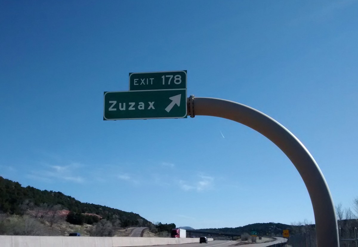

Heading east from Albuquerque on Interstate 40, about 15 miles out of town, we have always been fascinated by the name Zuzax on the Exit 178 sign. Where in the world did such a name come from? If you do a Google search on the word there is no information except what we could see from the highway–Zuzax is a small community east of Albuquerque. It’s just a subdivision, nothing historic, and only a single gas station, so we have never had a reason to go there. But finally, today, we had the opportunity to take the Zuzax exit.
A couple of miles from the Zuzax exit there is a parking area for some Cibola National Forest trails that are part of the Manzanita Trail System. We knew there wouldn’t be anything particularly exciting about the hike itself. I think it was the idea of taking the Zuzax exit that drew us.
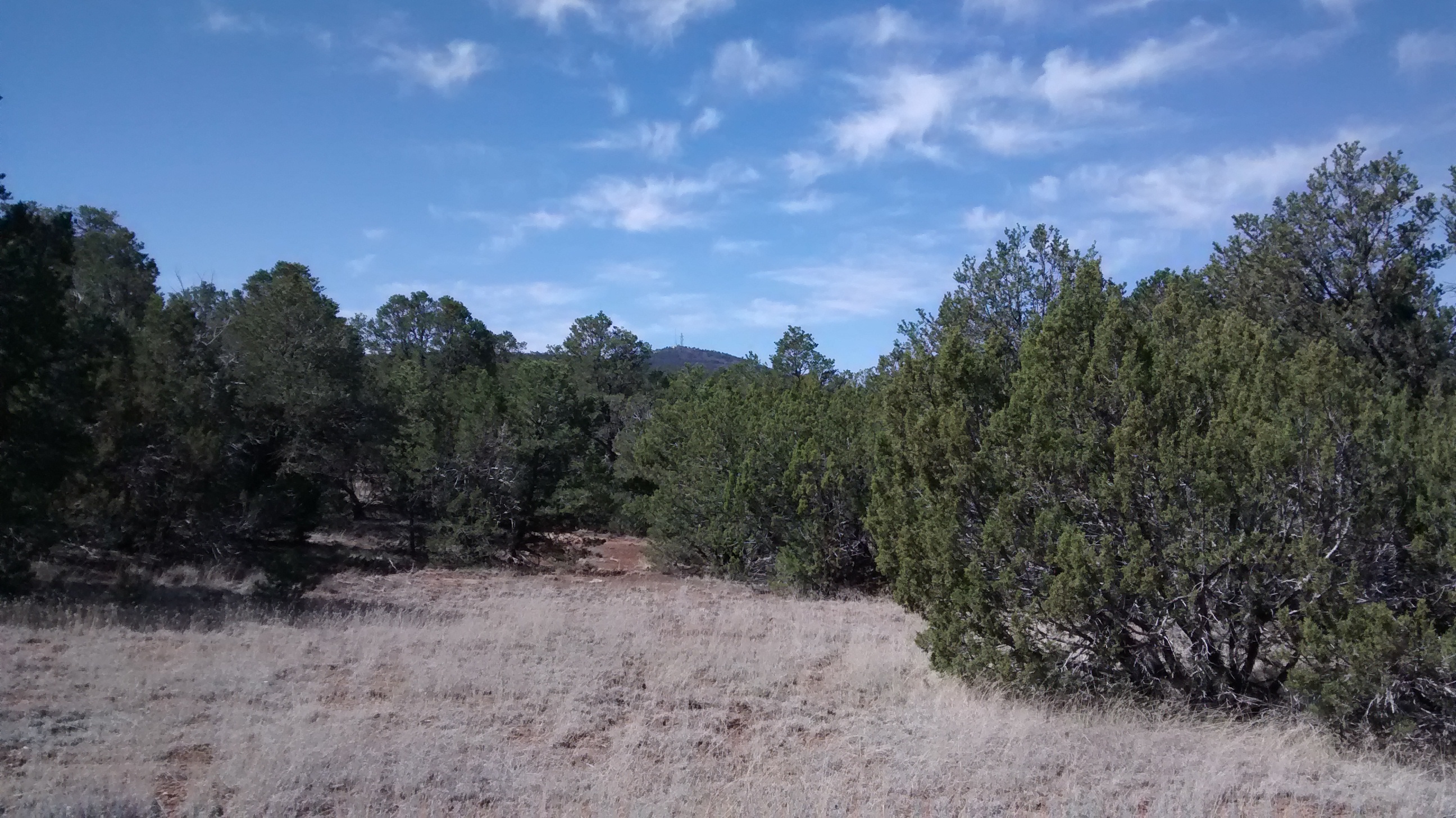
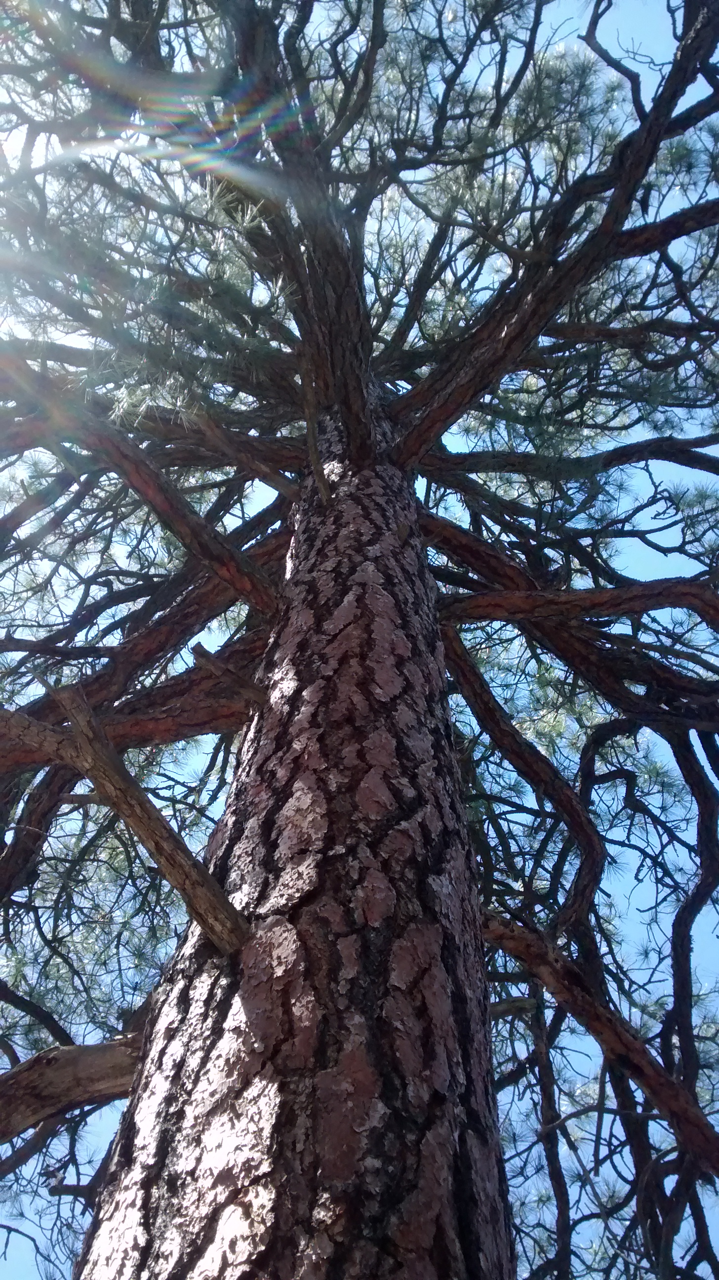
We have hiked parts of this trail system before and knew what to expect. The Manzanita Mountains are a low ridge of mostly piñon pine and juniper covered slopes that lie between the Manzano Mountains to the south and the Sandias to the north. The only significant peak is Cedro Peak (about 7700 feet), which is prominent because of the communication towers on the top. Probably because it is so close to Albuquerque, the trails are more popular with motorcycles, ATVs and mountain bikes than they are with hikers. If we had gone on a weekend we would have been overrun, but since it was a Monday, we saw only 3 bicyclists on the trail.
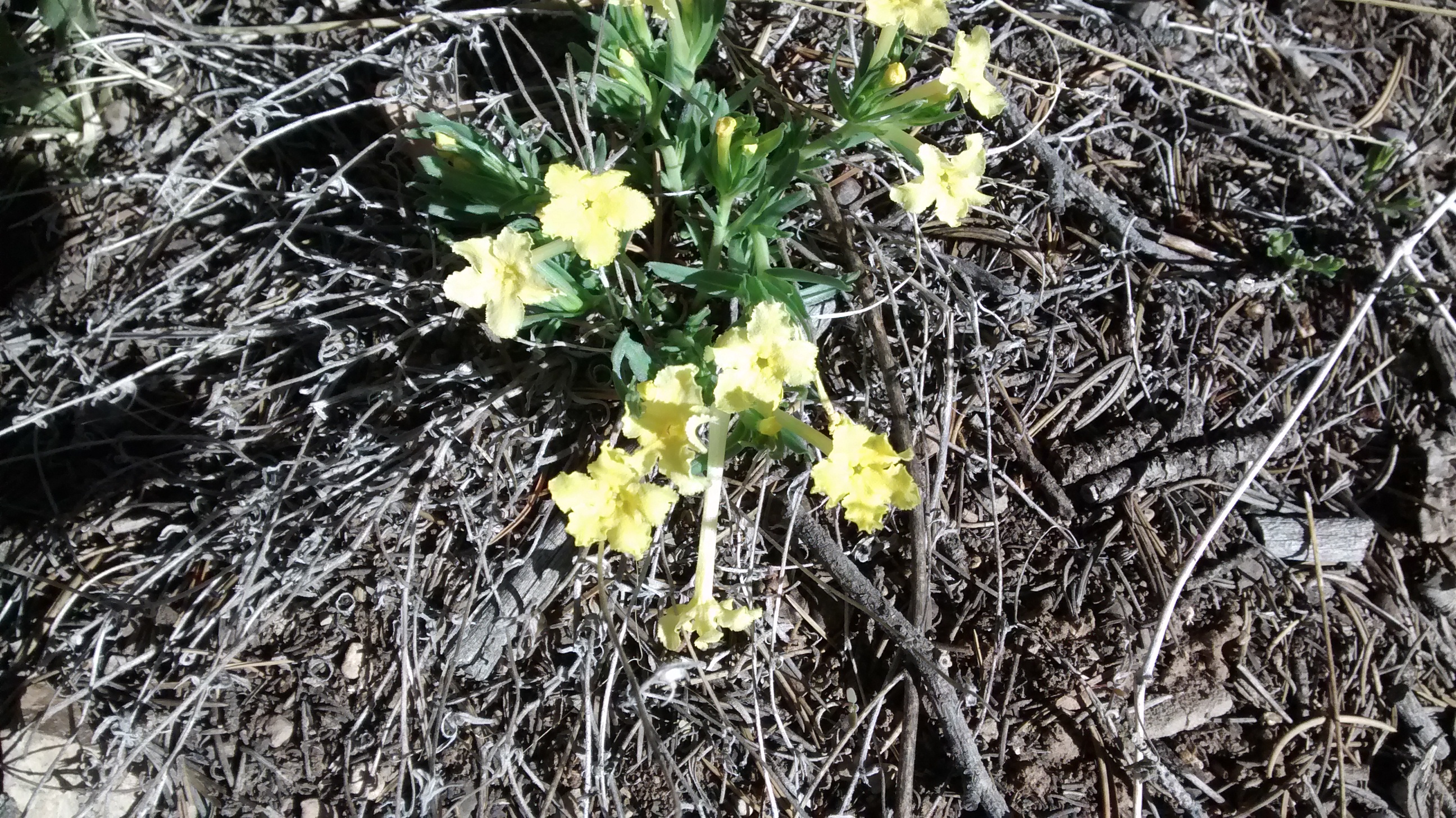
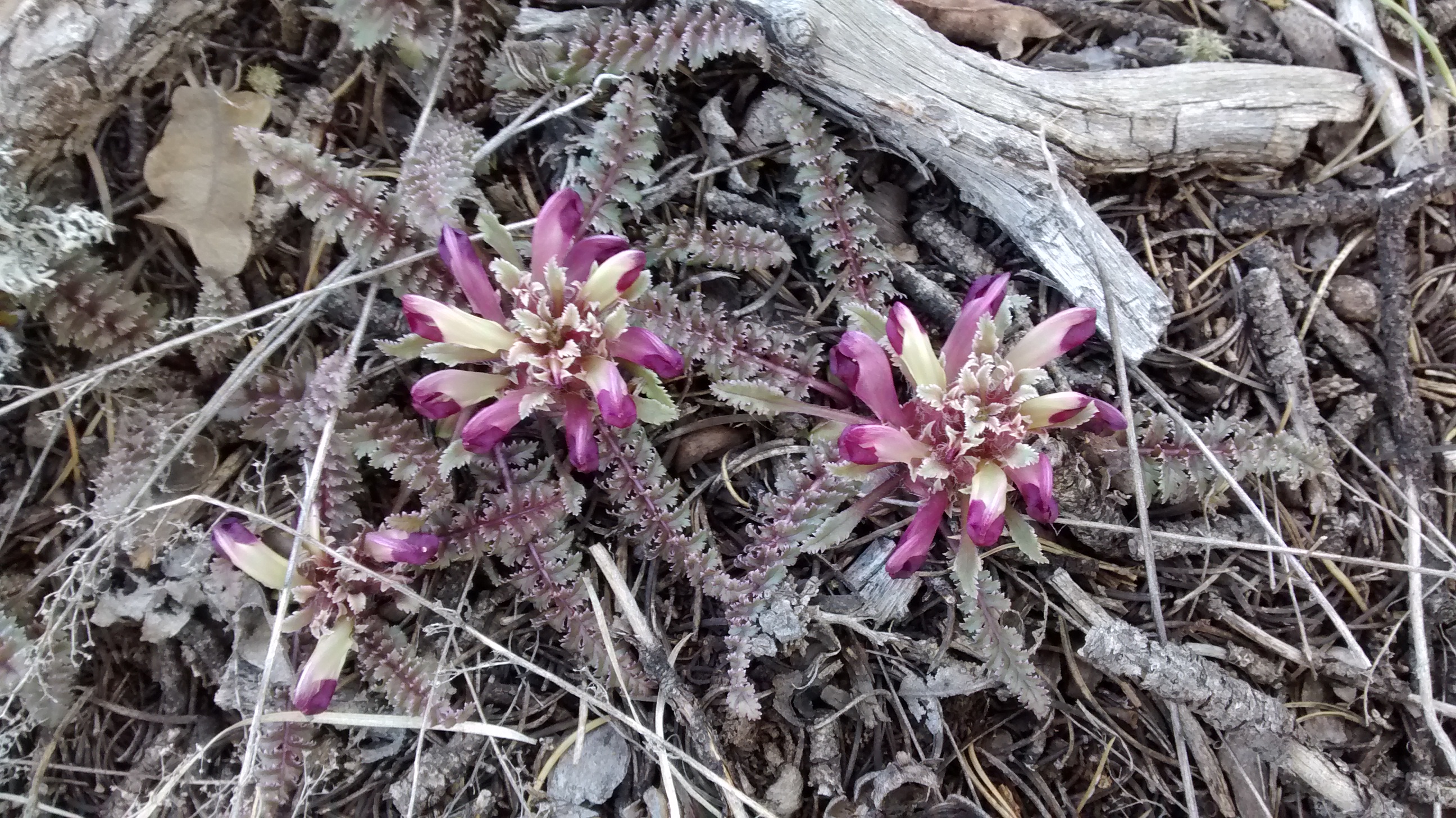
So no spectacular vistas or rock formations in today’s pictures but just a few photos to give you a sense of place.


And speaking of weird names for things. We saw 3 varieties of spring flowers that I think have really odd names: Dwarf Lousewort, Cutflower Pucoon and Fendler’s Bladderpod.


Zuzax was an invention of my uncle, Herman Ardans. He bought some army quanset huts after the war, stocked them with trinkets he bought from local Indians and artists…. and put up a trading post. He invented the “Zuzax Indians”” to add some sparkle to the story he told customers. Zuzax is now recognized by the U.S. Post Office, which has small facility there.
Thank you for providing this history! Since I wrote the blog post almost 10 years ago and made the statement then that a Google search hadn’t given me any information about the name, I thought it would be interesting to try Google again. This time it brought up a site with a bit more information, but not as useful as what you have provided: https://www.therooseveltreview.com/the-meaning-behind-these-strangely-named-new-mexico-towns/