Enhanced Hiking

The hiking experience is greatly enhanced when driving time to the start of a hike is minimized.  We live in a city that is surrounded by opportunities for many great day hikes and we have taken advantage of that in the 2 1/2 years we’ve lived here.  But our hiking experience this week was extra special because we were able to do 2 10-mile hikes in a beautiful wilderness area and didn’t have to spend time driving either morning to start the hikes.

At the suggestion of our friends, Ken and Sue, who had been in the area before, we camped Monday and Tuesday at the Santa Barbara campground in the Carson National Forest, just north of the Pecos Wilderness. We shared a campsite with them both nights and they helped us plan a 10-mile hike Tuesday and another 10-mile hike Wednesday before we headed back to Albuquerque. They are experienced backpackers and their plan Wednesday was to head further into the wilderness for 3 days of backpacking.

Campsite at Santa Barbara campground.
An extra treat was watching the moonrise--one day short of full moon.
An extra treat was watching the moonrise–one day short of full moon.

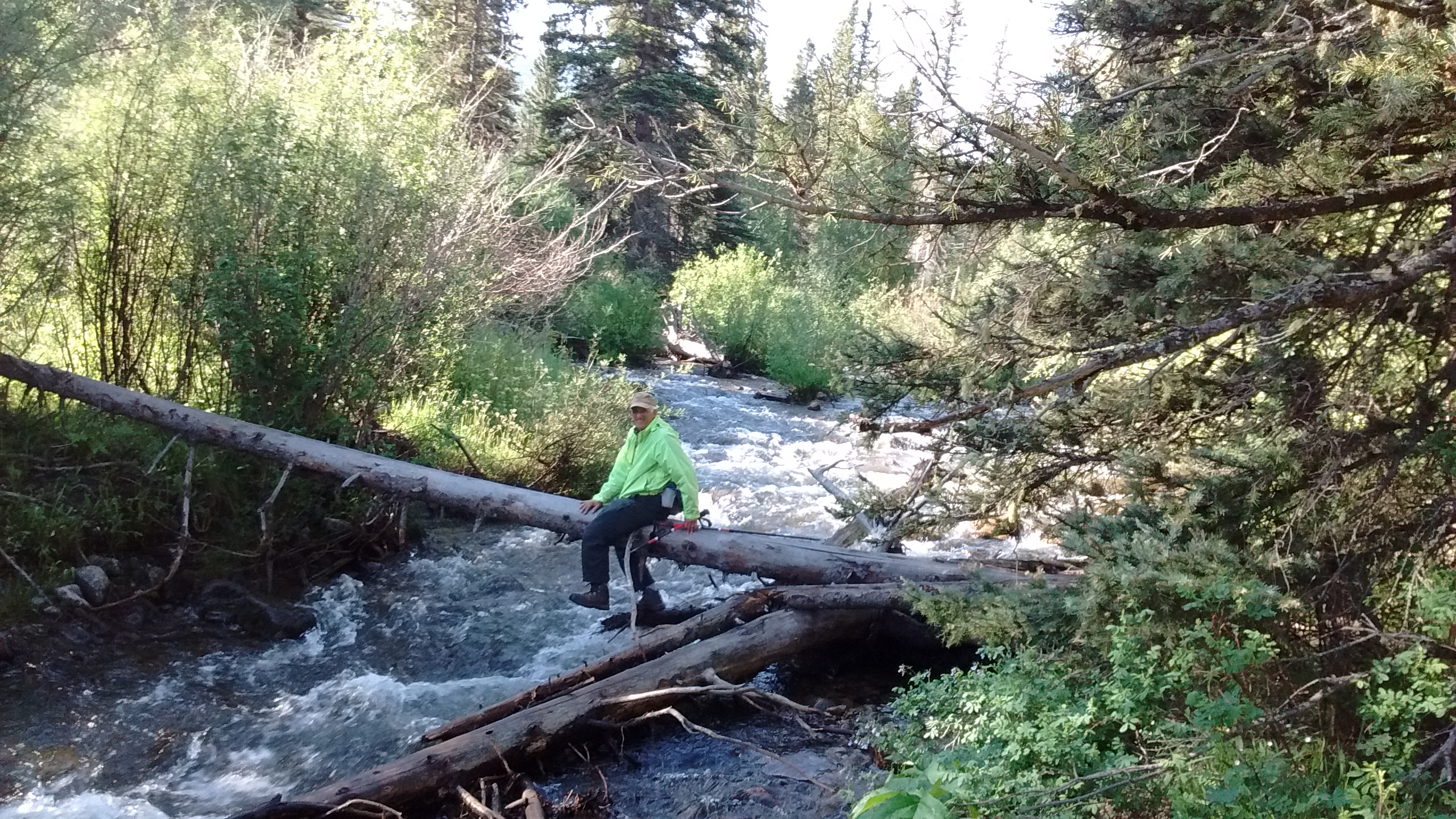
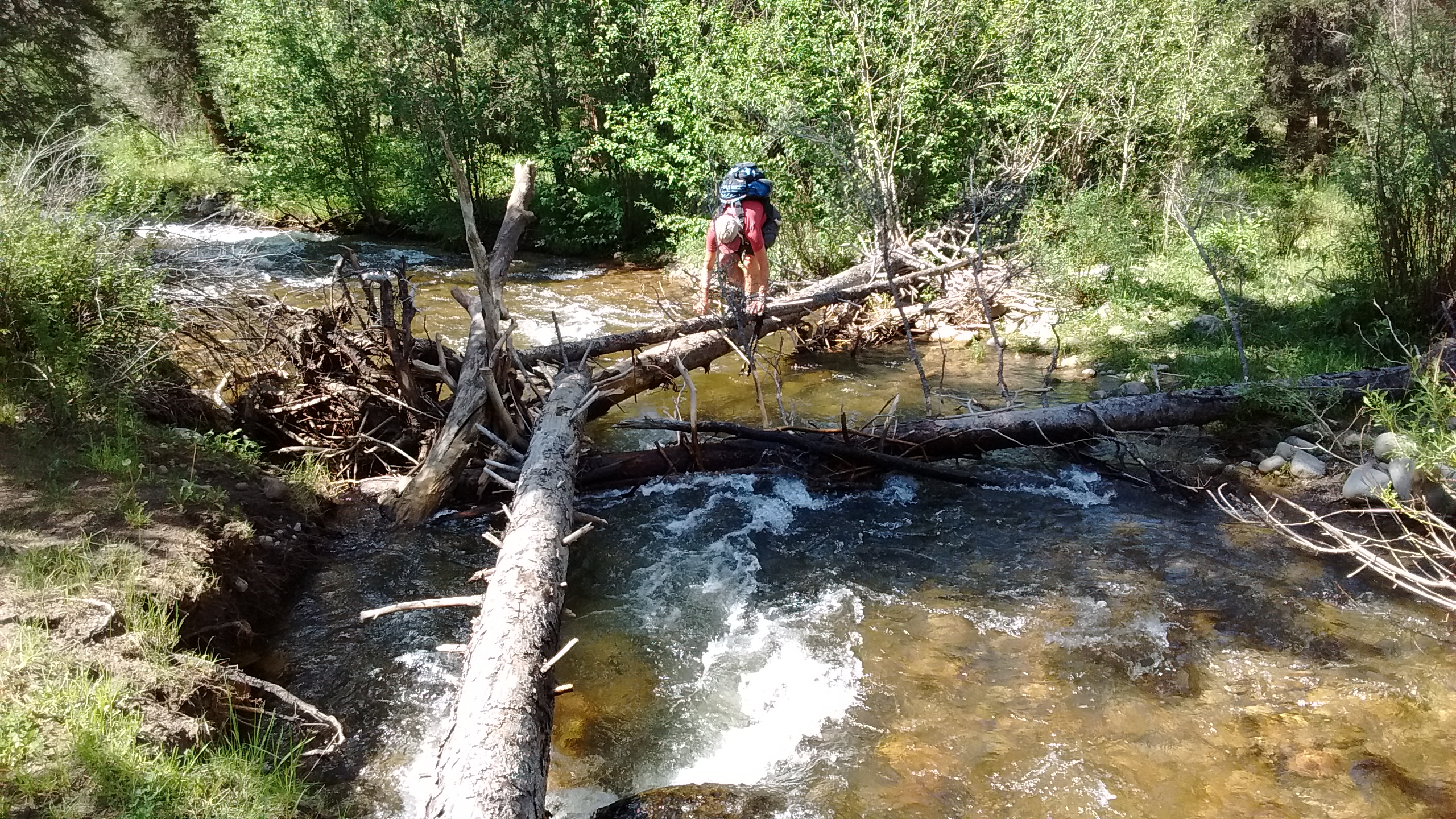
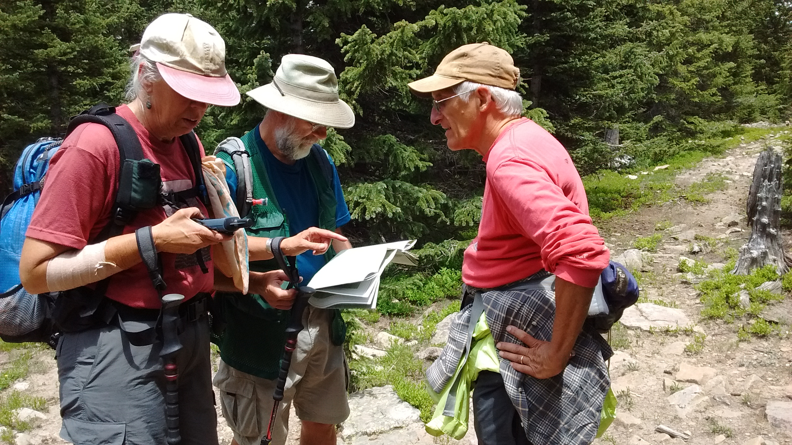
Hiking in wilderness areas can be a challenge because it’s often difficult to find accurate and helpful information about the trails. That’s the experience that we had the first day. Our first challenge presented itself as soon as we walked to the trailhead from our campsite and realized that we were on the west side of the Rio Santa Barbara and the trail started on the east side with no bridge across the river. Most of the time this wouldn’t be an issue for hikers because the stream would be small enough to cross on logs or rocks. This happened to be one of those times when the stream was very full and it was not obvious where to cross. It took us about 30 minutes of going up and down along the banks of the stream before we found a way across.

This was not the way across.  Lee ended up having to back his way out again.
This was not the way across. Lee ended up having to back his way out again.
This was the doable crossing we finally found.

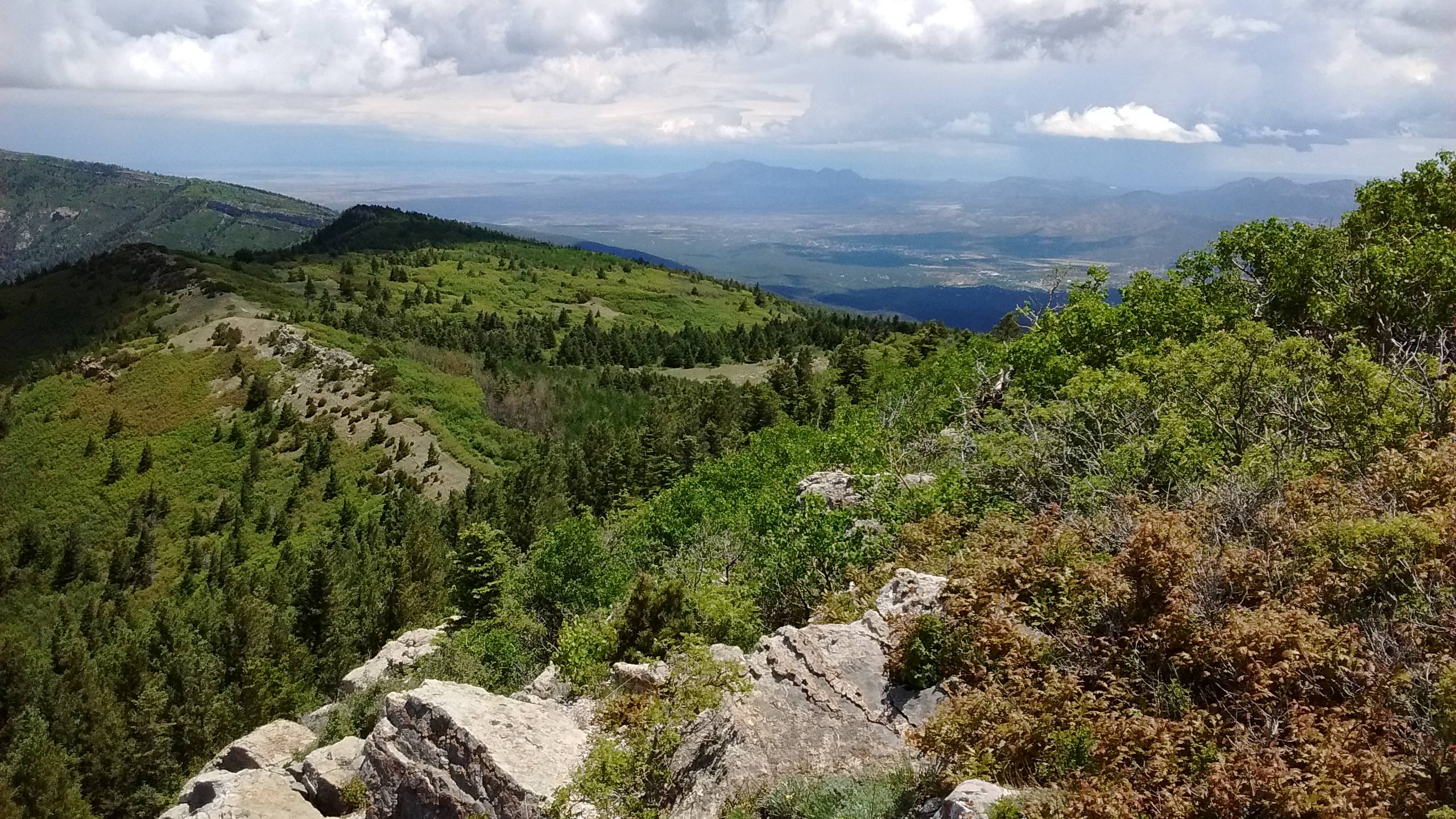
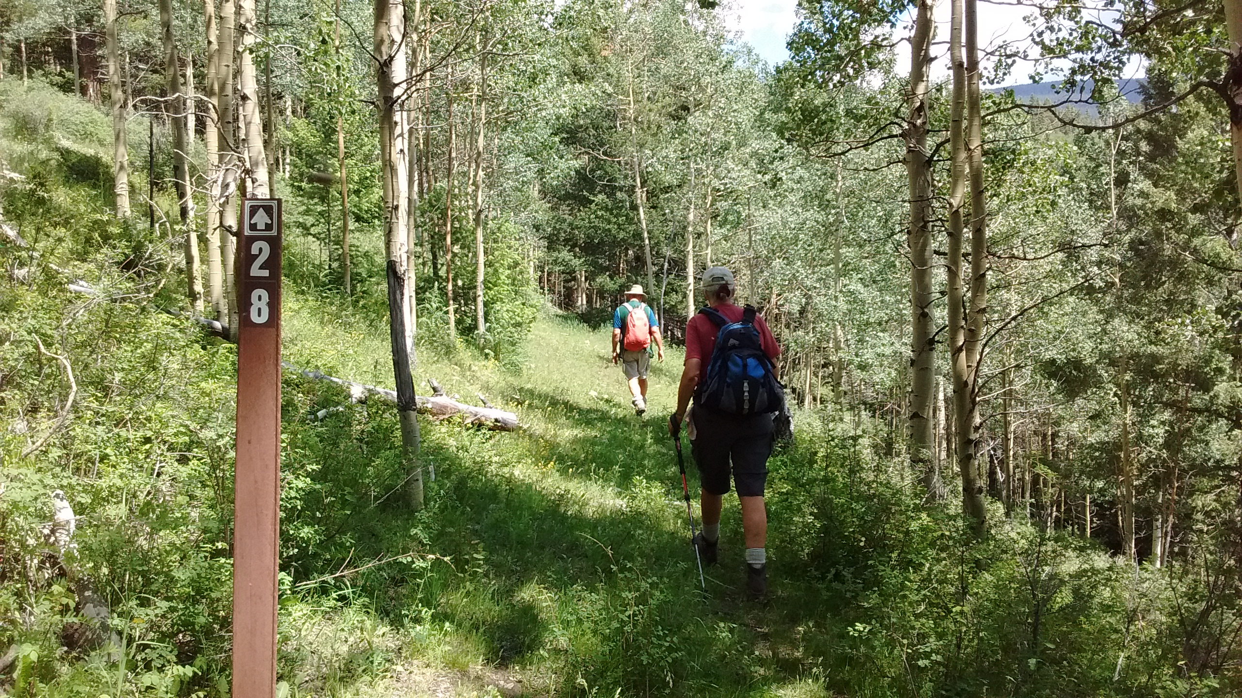
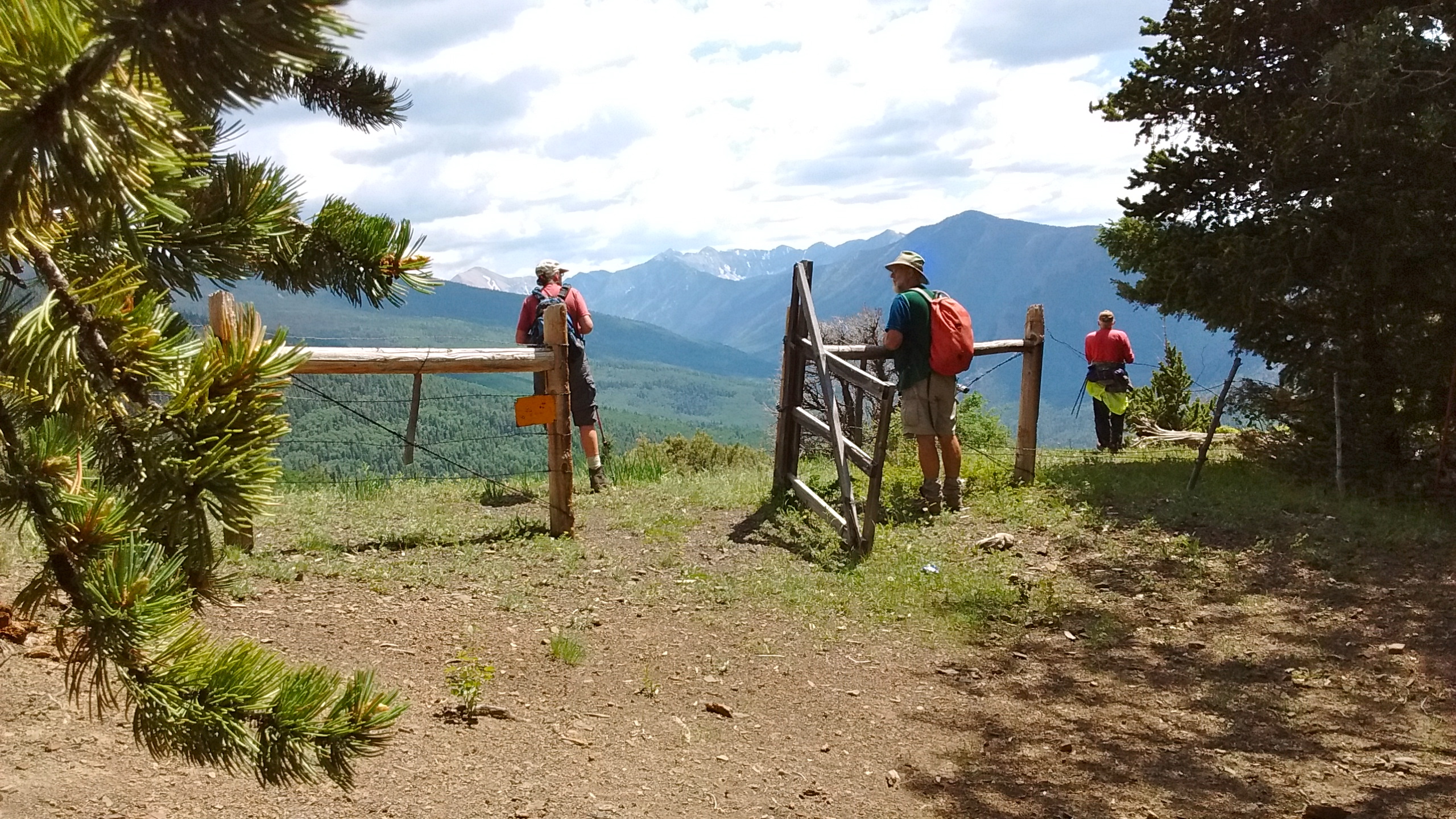
The second major challenge of Tuesday’s hike was trying to reconcile trail signs with names and numbers and maps we had of the area. Our goal was a ridge called Ripley Point, about 5 miles east of the campground at an elevation of 11,800 feet. The campground was at 8,800 feet, which meant 3000 feet of elevation to climb in the 5 miles. After about 2 miles of hiking, we started up what looked like a connector trail on the maps and GPS but turned out to be a brutal bushwhack straight up for at least a mile through thick woods before we finally connected with a real trail.

A lot of consultation of maps and GPS.
Trail numbers were confusing but it was a welcome sight to see one when so many times we weren't sure we were on a trail.
Trail numbers were confusing but it was a welcome sight to see one when so many times we weren’t sure we were on a trail.
Rock cairns were also a welcome sight to let us know we were in the right place.
Beautiful views.
Beautiful views and lots of wildflowers.
Well deserved lunch break on ridge.
Pecos Wilderness views.
Through the gate.
Through the gate and down into the valley back to the campsite.

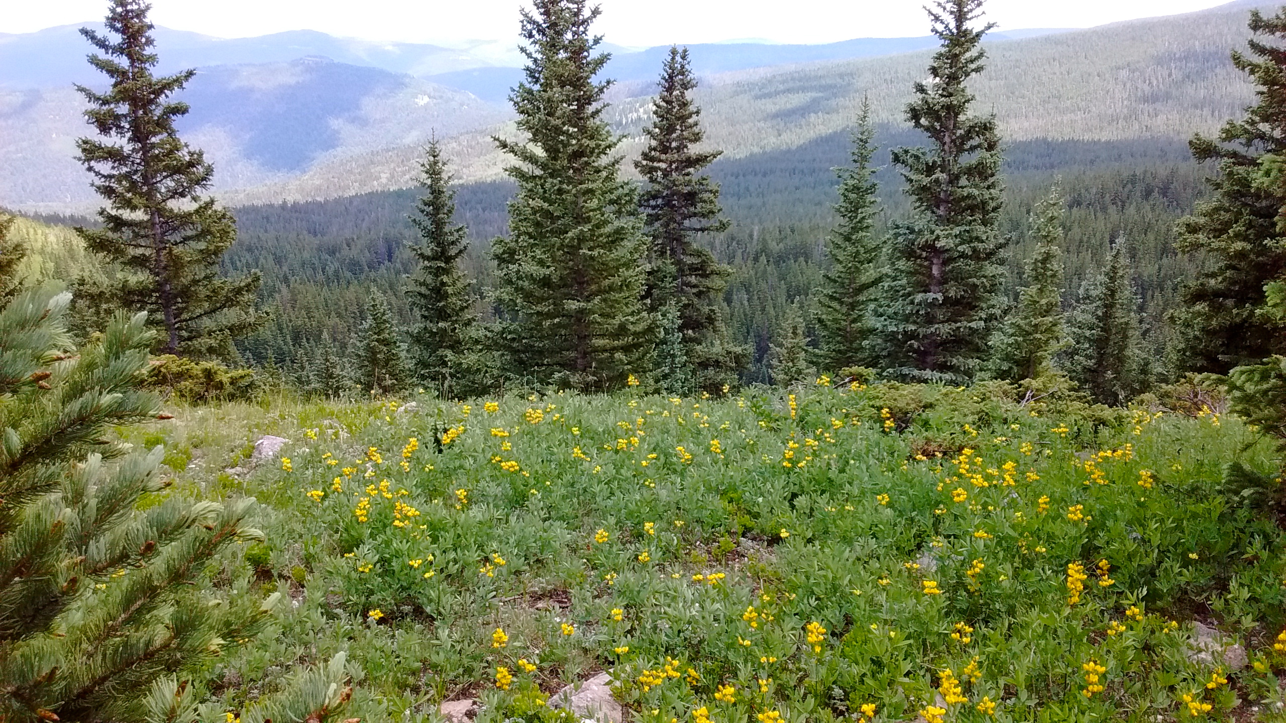
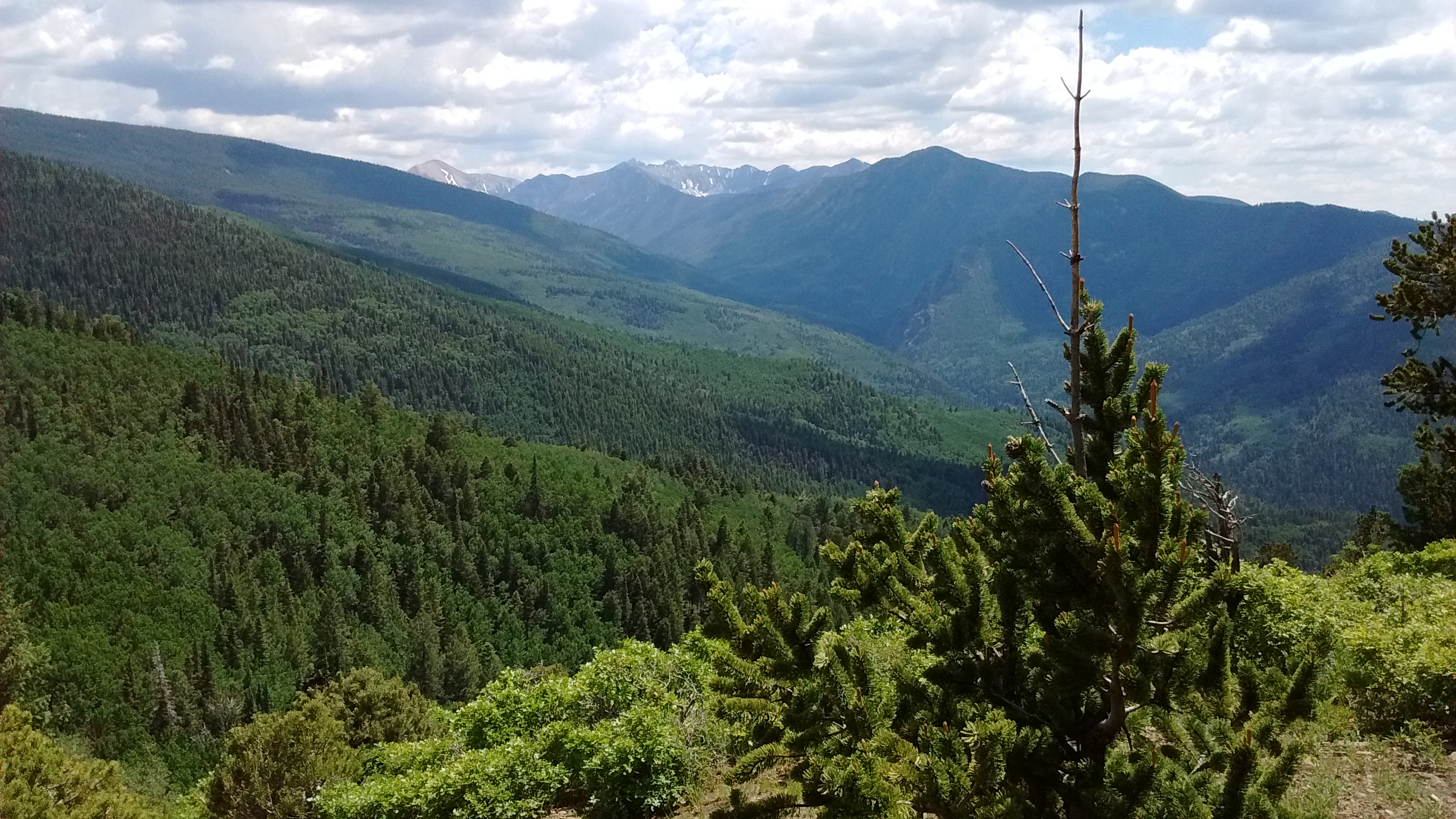
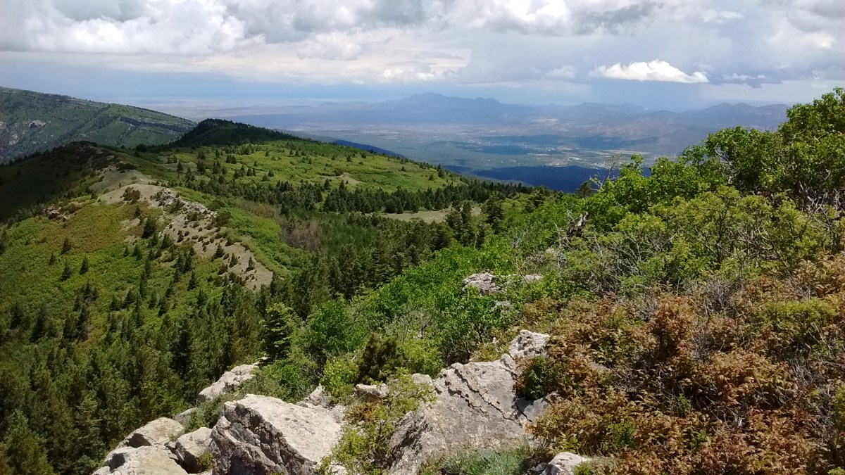
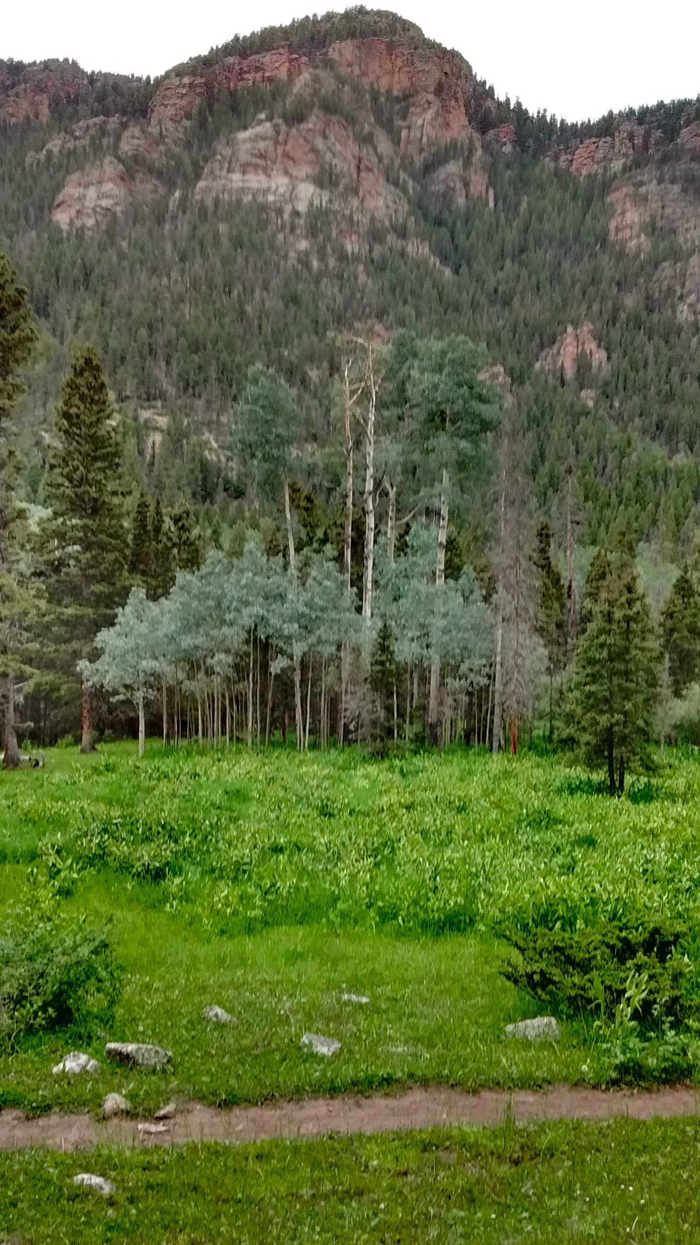
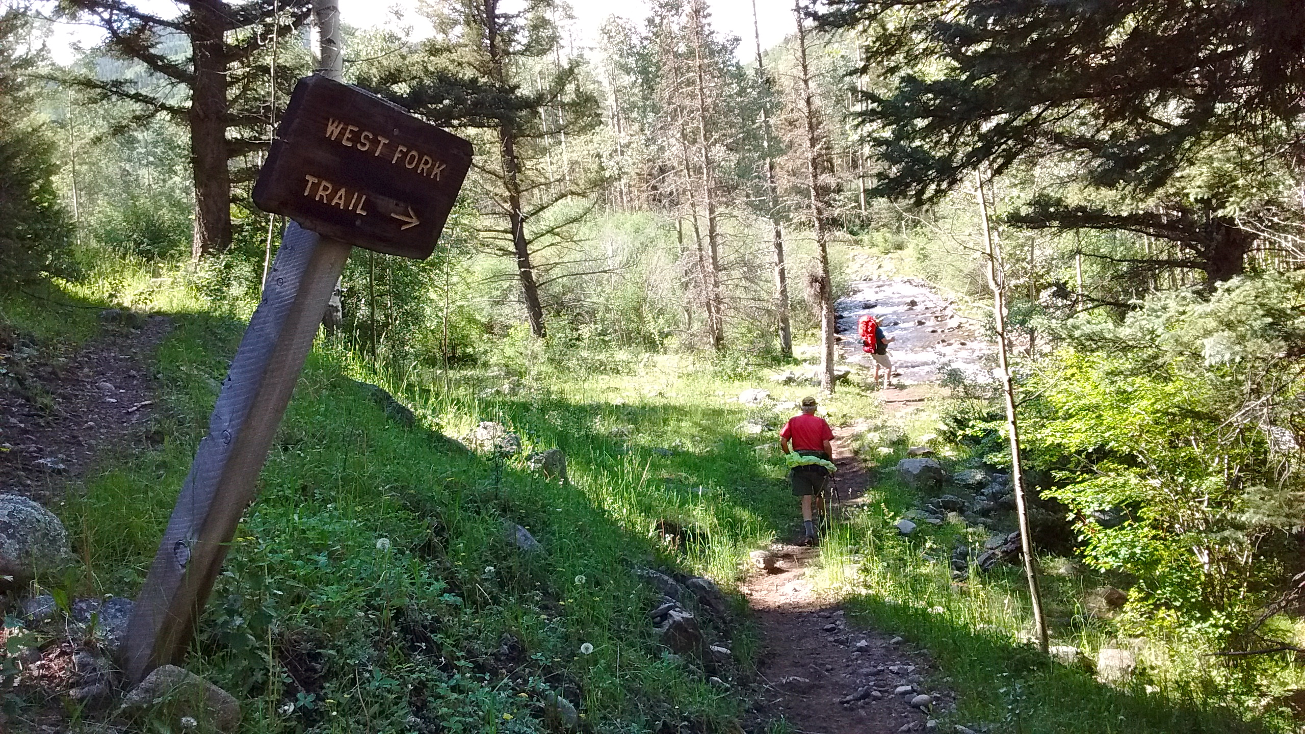
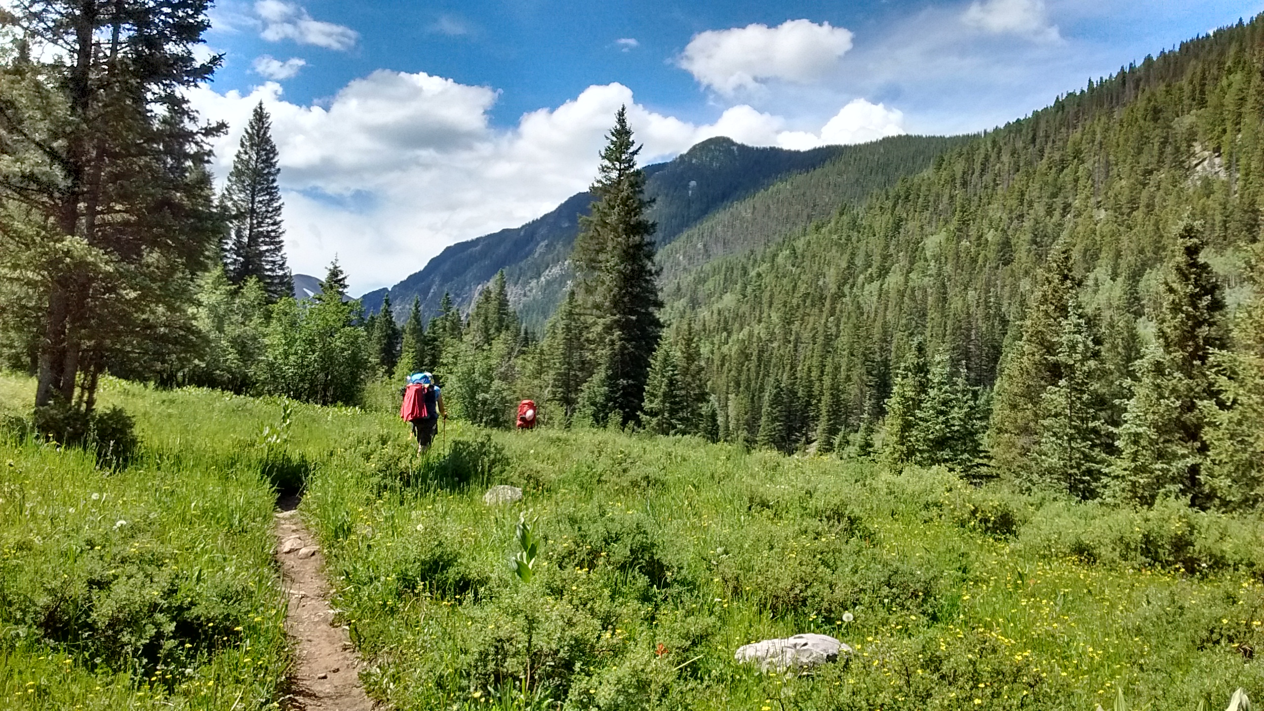
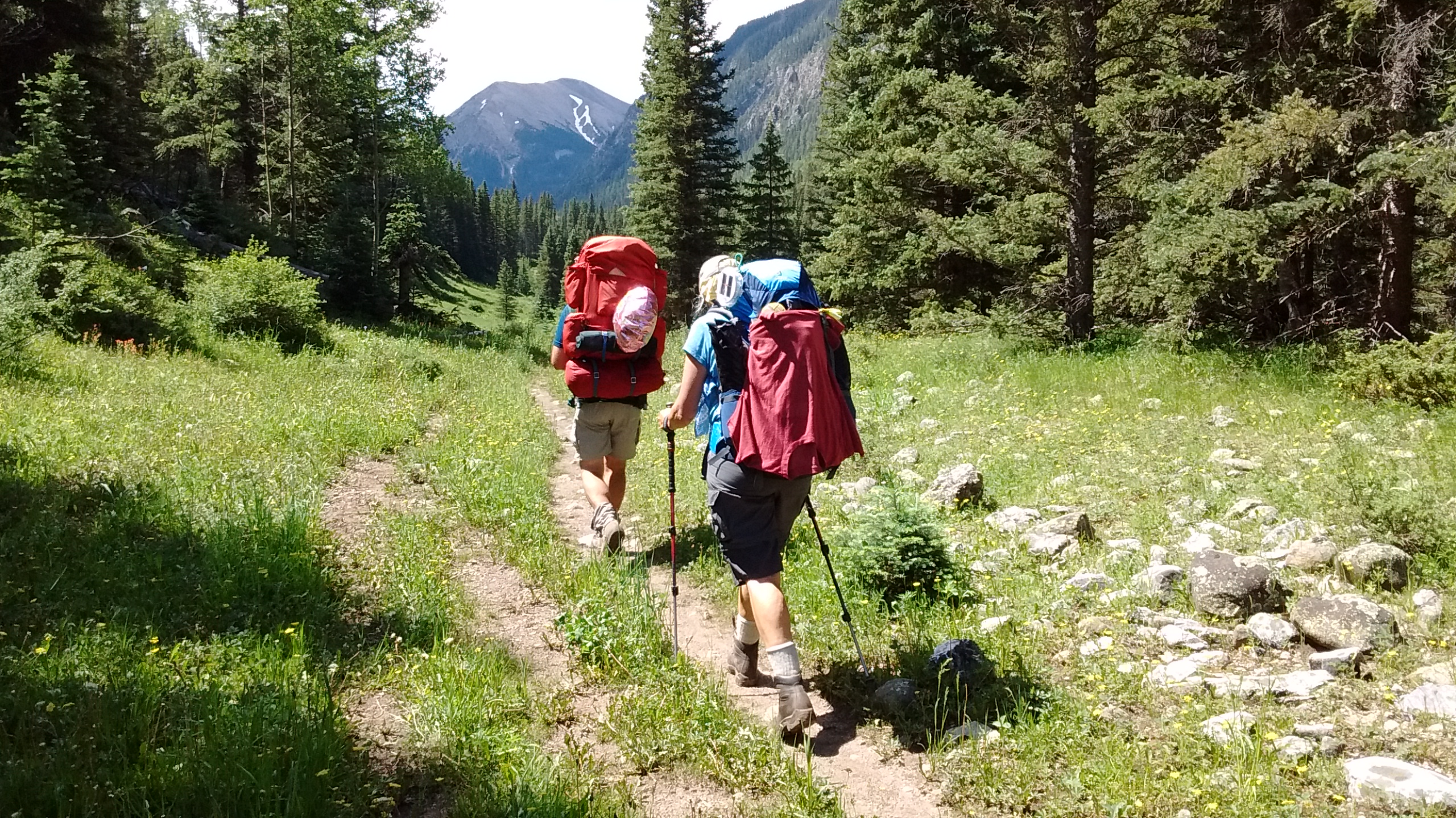
The second day’s hike was an out-and-back following a trail along the West Fork of the Rio Santa Barbara. At least for me and Lee it was an out-and-back hike. For Ken and Sue it was the beginning of their 3-day backpacking trip into the Pecos Wilderness. We hiked together for the first 5 miles, enjoying the views of the canyon walls, the rushing stream, the many wildflowers, the shady woods and the green meadows and valleys. Then Lee and I bid adieu to our camping companions and headed back to camp while they continued up the trail.

Canyon walls along first section of West Fork trail.
Walking through stand of aspen.
A couple of stream crossings but easier than the one yesterday.
Walking through meadows on West Fork trail.
West Fork of the Rio Santa Barbara.
Ken and Sue continue up the trail for the backpacking trip.
Ken and Sue continue up the trail for their backpacking trip.

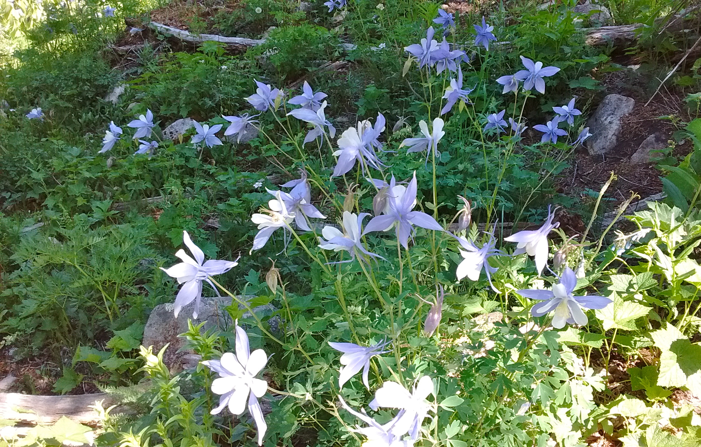
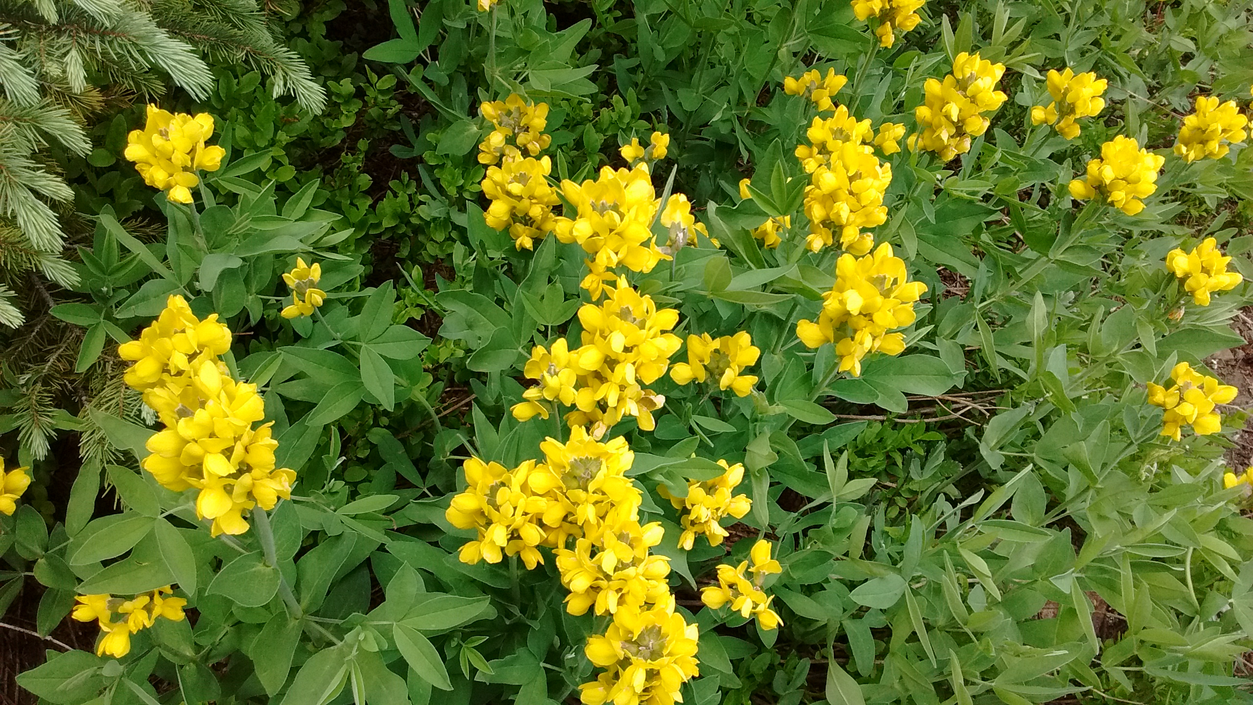
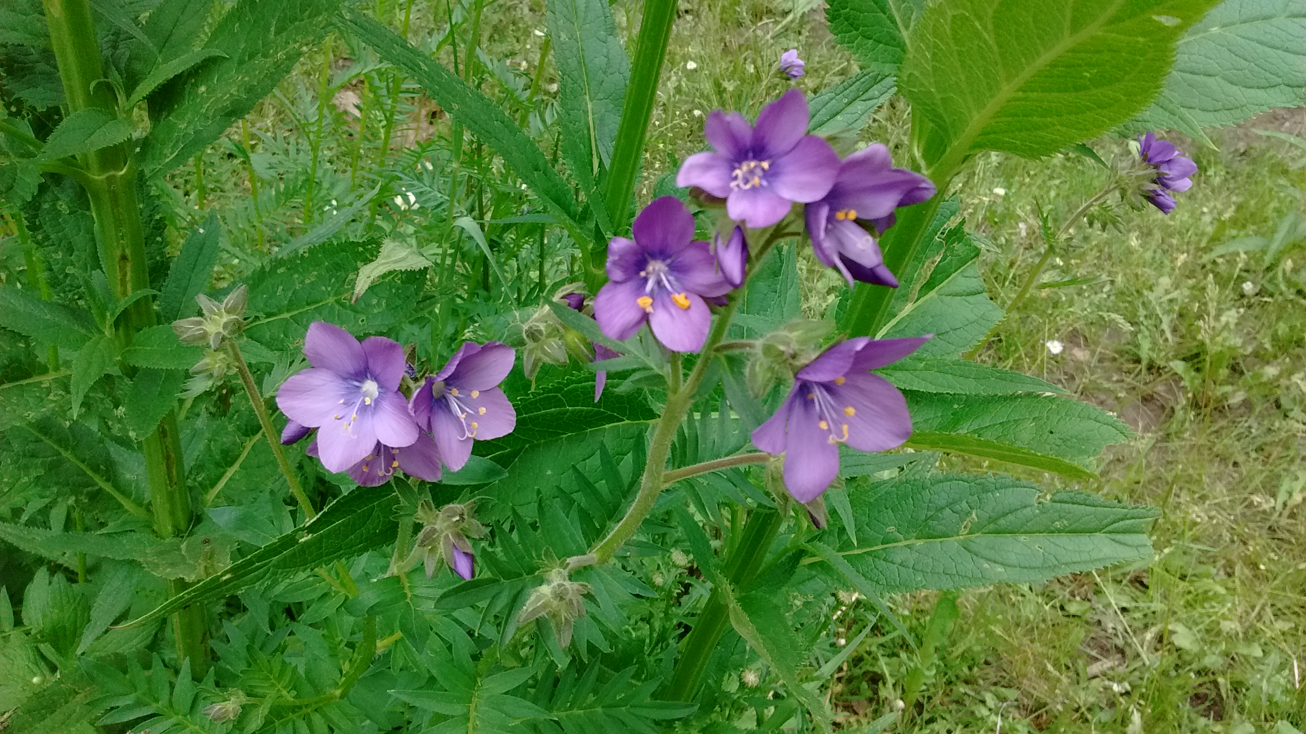
Both days of hiking provided us with opportunities for viewing and photographing wildflowers, some of which were old favorites, others that we have yet to identify. Columbines are some of my favorite wildflowers. The Red Columbine is what I’m familiar with, but in the Pecos I got my first chance to see the Blue or Colorado Columbine. They were everywhere on the West Fork trail and I took countless photos because they were so beautiful. Of course, with only a phone camera I just couldn’t seem to get a photo that really captured the beauty. And that went for the scenery, as well. I suppose, in the future, another way to enhance the hiking experience might be to get more serious about photography. For now, I’ll use the photos I do have to enhance my memory of this wonderful experience until the next time I’m able to be out there enjoying God’s creation in person.

Lee and Sue hard at work trying to get that perfect flower photo.
Blue (Colorado) Columbines.
Closer view of columbines.
One of the yellow flowers I can identify--Golden Pea.
One of the yellow flowers I can identify–Golden Pea.
Jacob's Ladder (we think).
Jacob’s Ladder (we think).

A Peak Experience

One of the things we enjoy about living in Albuquerque is the view of the Sandia Mountains to the east of the city. There are two major summits: Sandia Crest at 10,678 feet and South Sandia Peak at 9700 feet. We have been to the Crest many times, since it is accessible by road from the east side of the mountains, by the tram from the west side, and by several hiking trails we have done at various times. South Sandia Peak is not as accessible.

The only way to get to South Sandia Peak is by hiking. There are several trail routes that will get you there, but none of them are easy. From our apartment on the west side it is the South Sandia Peak that we can see; the Crest is out of our viewpoint. So always looking at South Sandia Peak from our windows and knowing that we hadn’t yet made it up there, was a challenge we knew we had to meet. Today we finally did the 11-mile hike on the Embudito Trail that got us to the 9700 foot summit.

The trailhead starts at 6200 feet, which means over 3000 feet of elevation gain in the 5.5 miles it takes to get to the top. Thankfully, we got an early enough start in the day, as it ended up taking us 8 hours to go up and back. The middle of June could have meant a sweltering day, but the weather cooperated. By the time the morning started to warm up we were in the shaded, forested part of the hike. In the afternoon, on the way back down, when we reached the lower elevations where it is more open and can get pretty hot, a thunderstorm moved across the city and we benefited from the clouds and cool breezes. We didn’t even put on our rain jackets when we started to get wet because it felt so good to get cooled off and there was only a short distance back to the car.

I’m glad that we finally bagged South Sandia Peak, but I don’t think it’s a hike I will be anxious to do again anytime soon.  11 miles is a lot of hiking to do for one day!

Starting to get high enough for views of the city below.
We were pleasantly surprised by all the greenery on the crest.
There was a sort of "false" crest where we thought we had reached the top.
There was a sort of “false” peak where we thought we had reached the top.
IMG_20150613_115748040
To the right and around the corner is the South Peak summit. In the distance is the Sandia Crest summit.
There's the elusive South Peak up ahead.
There’s the elusive South Peak up ahead.
Looking to the east from the South Peak.  San Pedro and Ortiz Mountains in the distance.
Looking to the east from the South Peak. San Pedro and Ortiz Mountains in the distance.
Afternoon thunderstorm building up over the city on the way down.