On The Trail Again

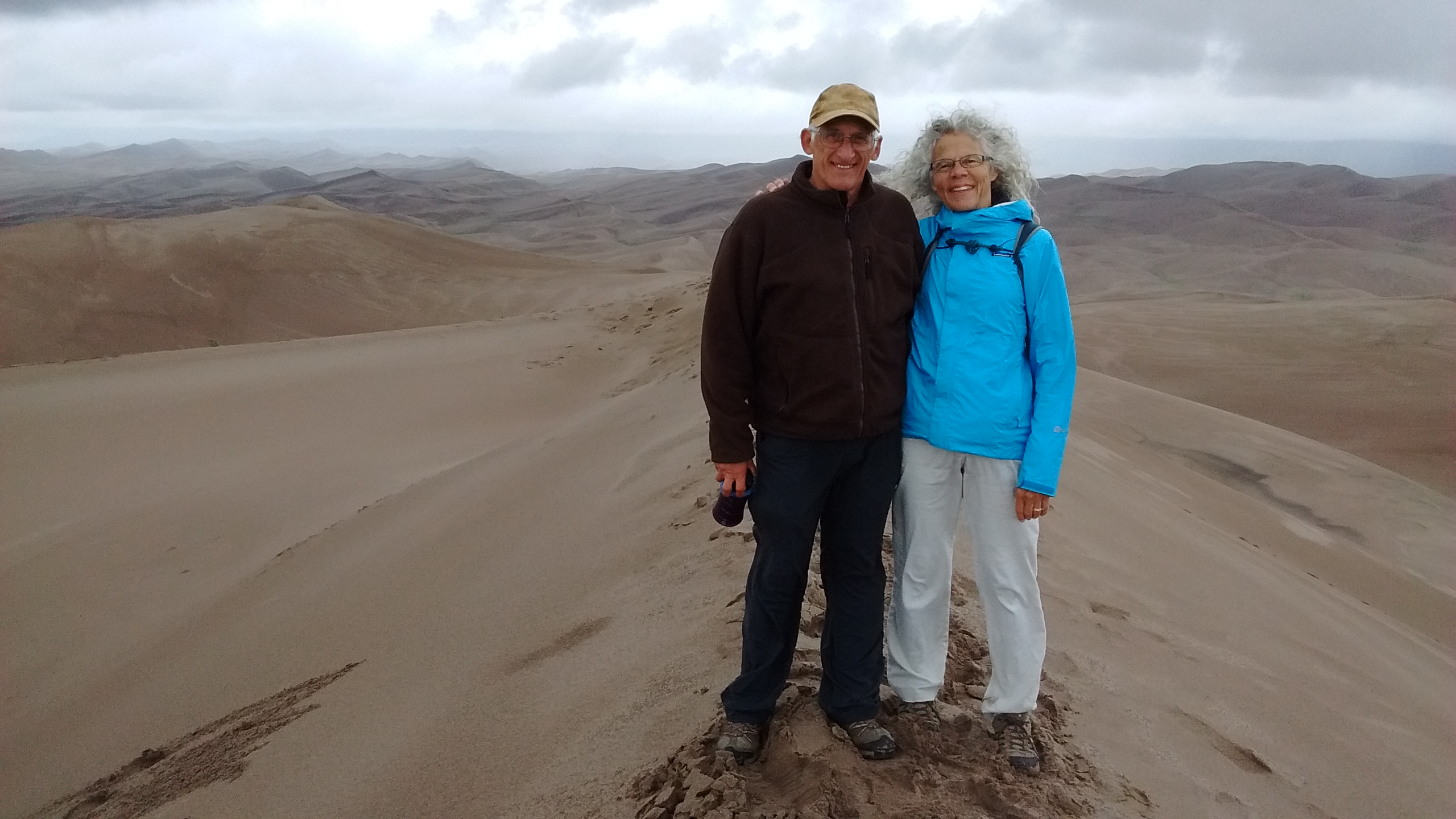
We’ve had so many back-to-back trips lately that there hasn’t been any time in over a month for us to plan a local hike in our favorite spots around Albuquerque. Today we finally had the time to get back out on familiar trails.

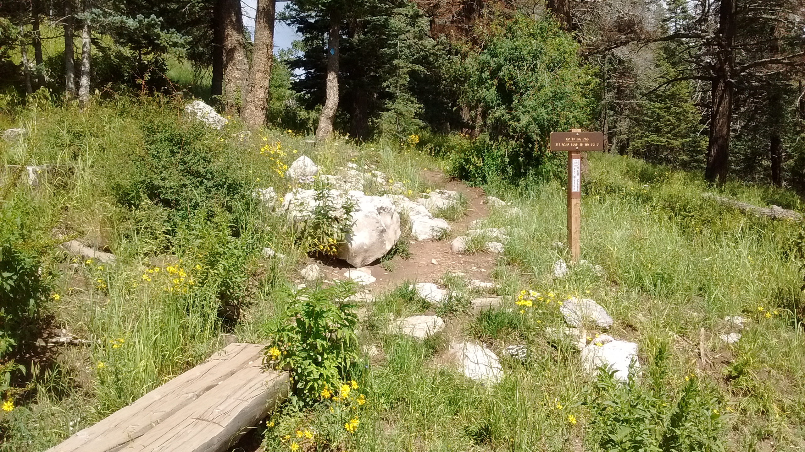
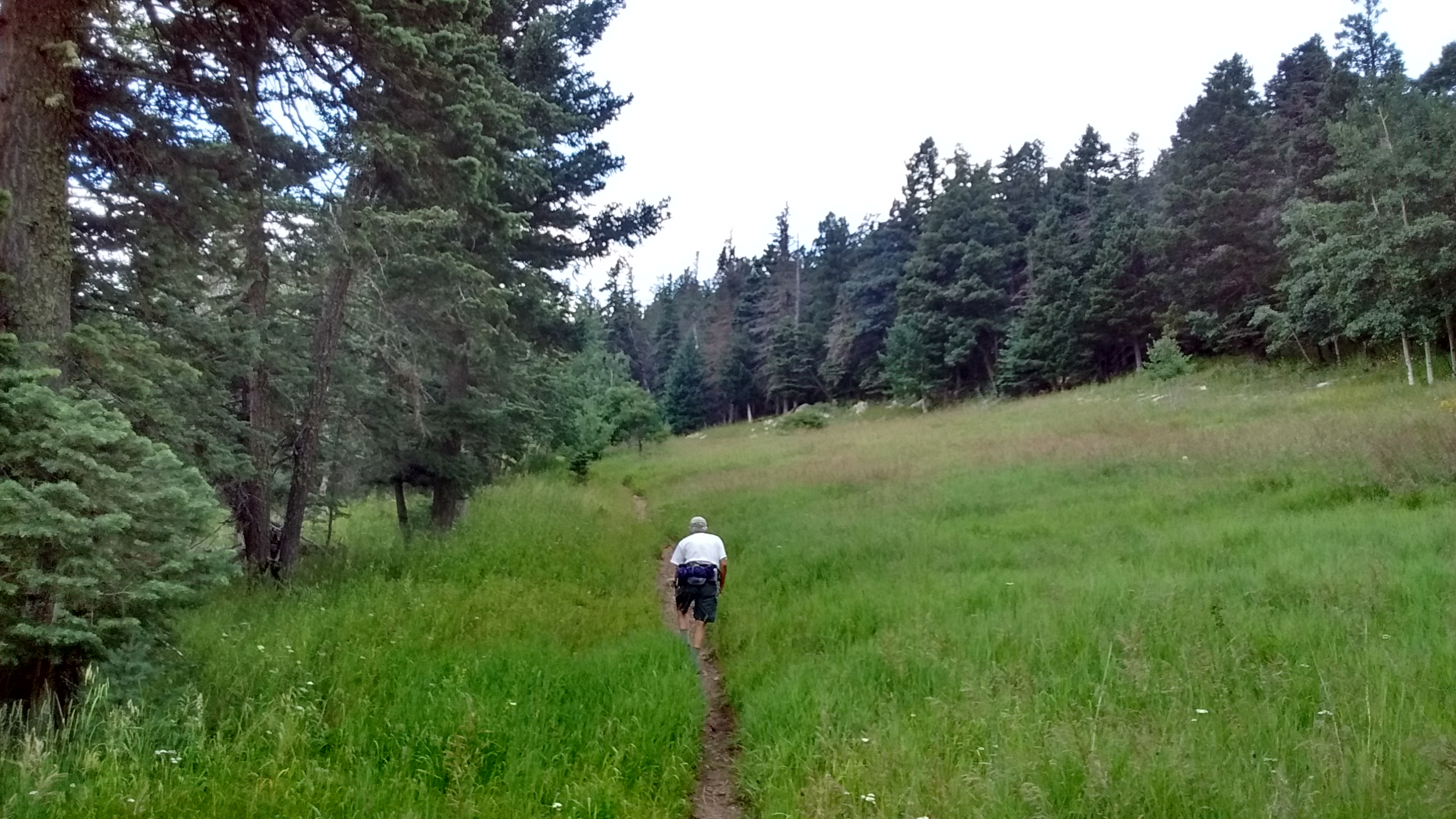
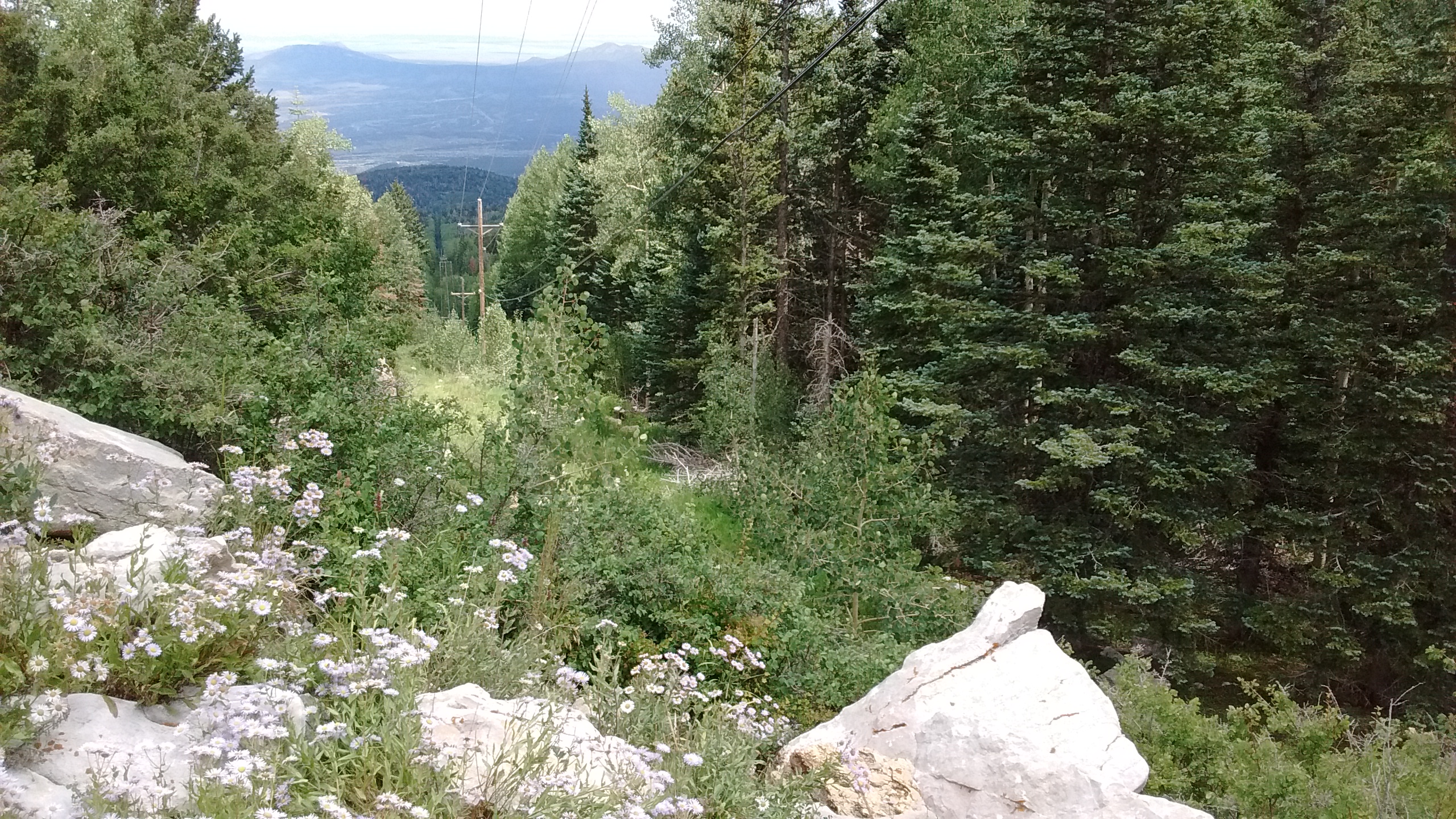
With all we’ve had going on, it felt good to have a day with nothing scheduled. We weren’t in a rush in the morning to make up our minds where to go or to get ourselves ready. Since it’s a short drive to get to the hiking trails on the east side of the Sandias, we decided to hike on the 10K Trail, maybe making a loop or just an out-and-back depending on how we felt.

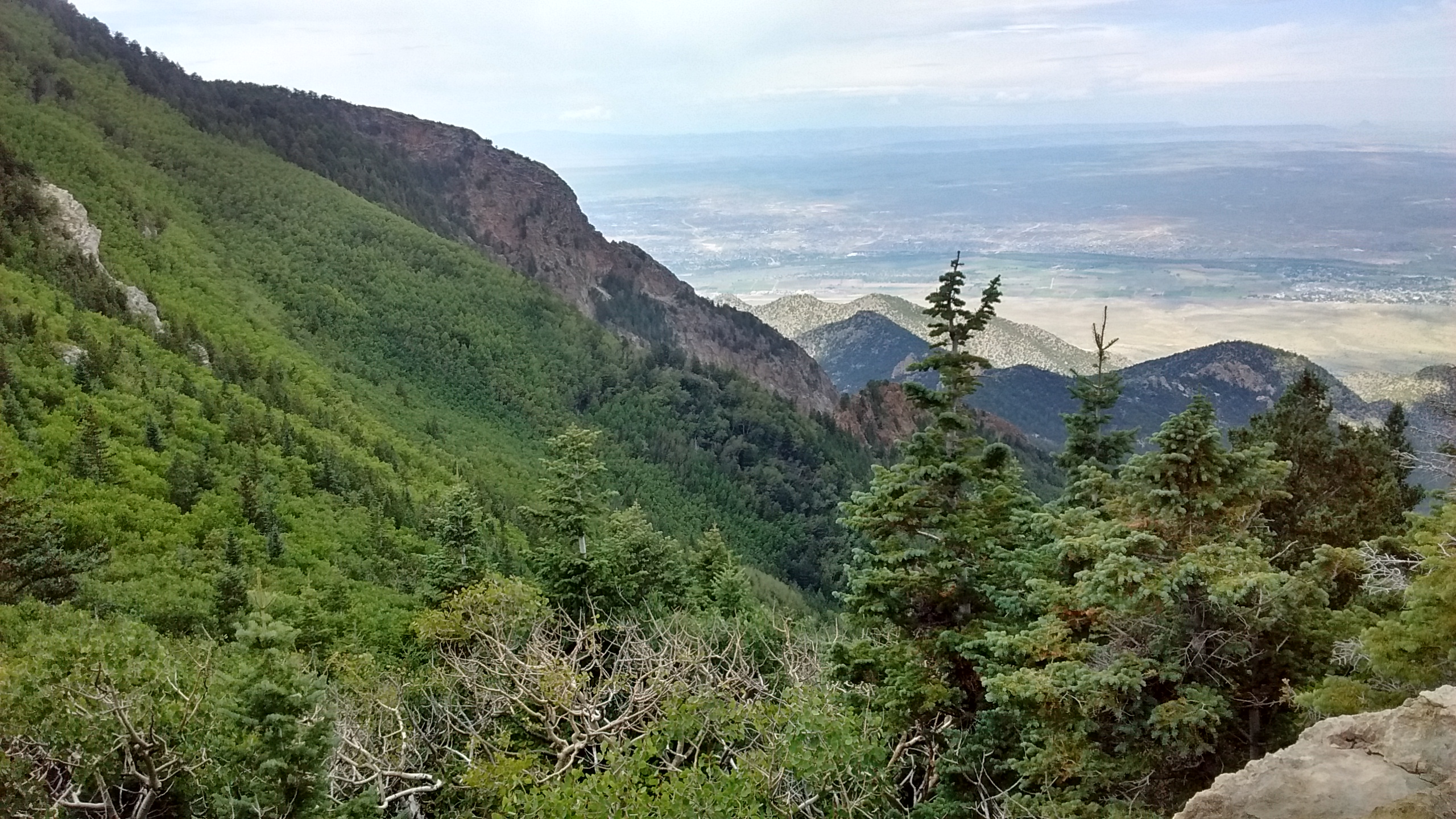
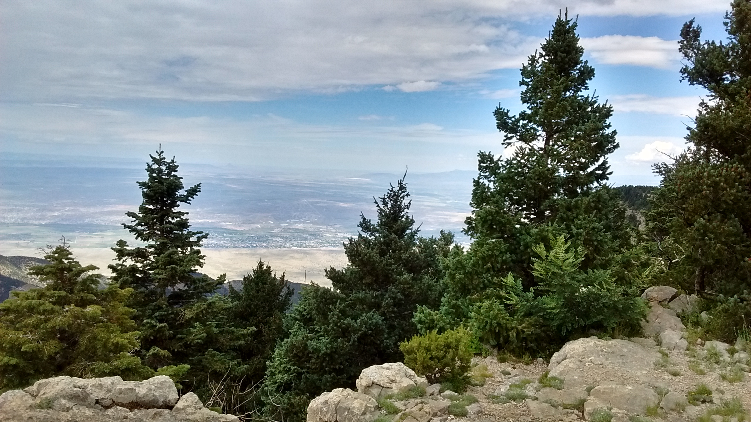
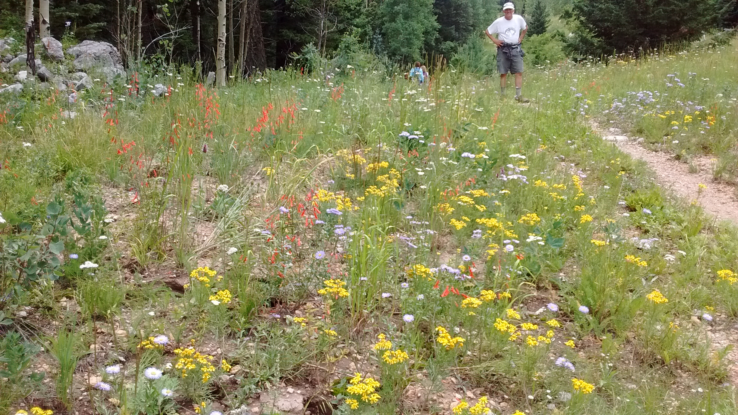
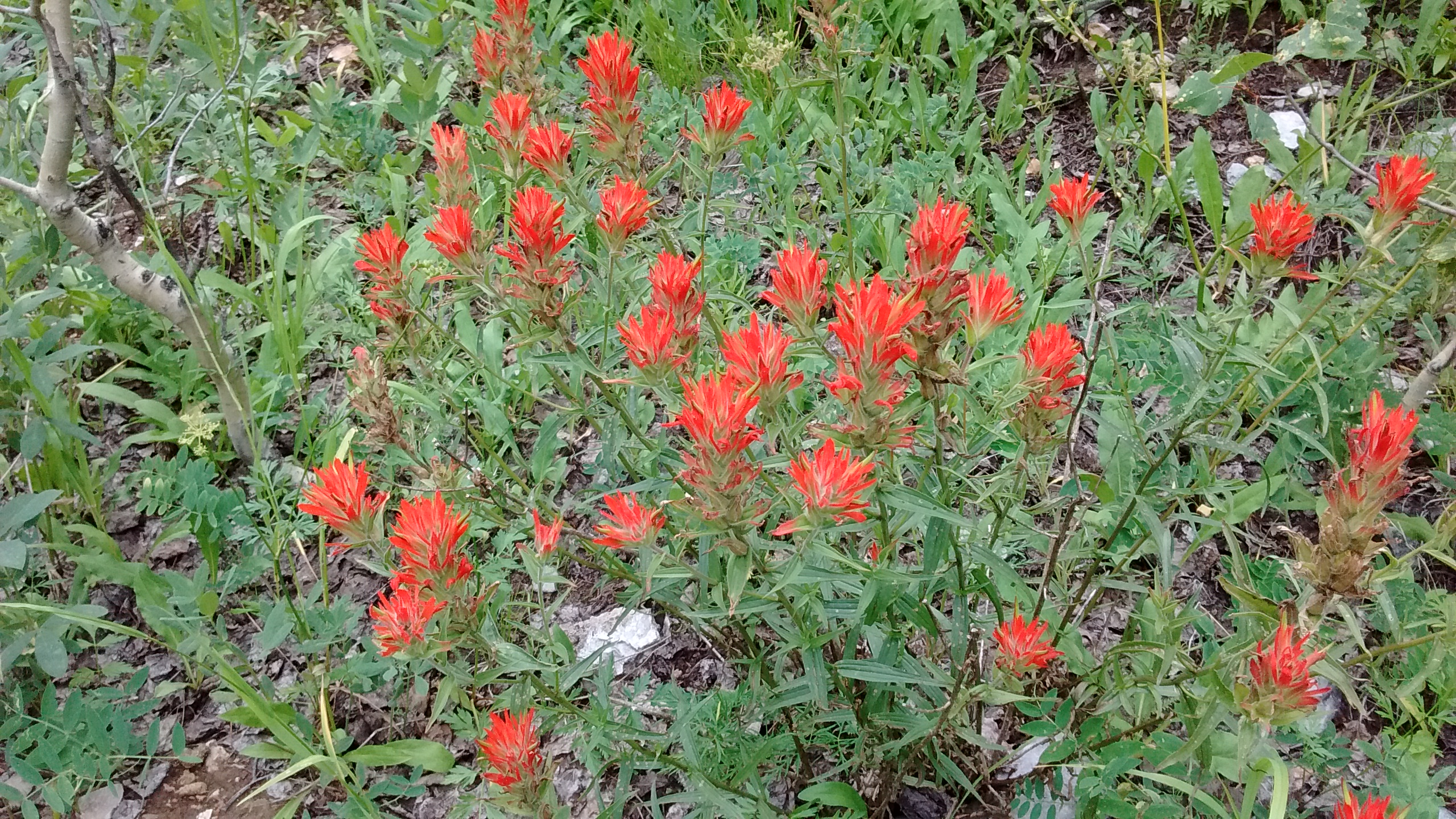
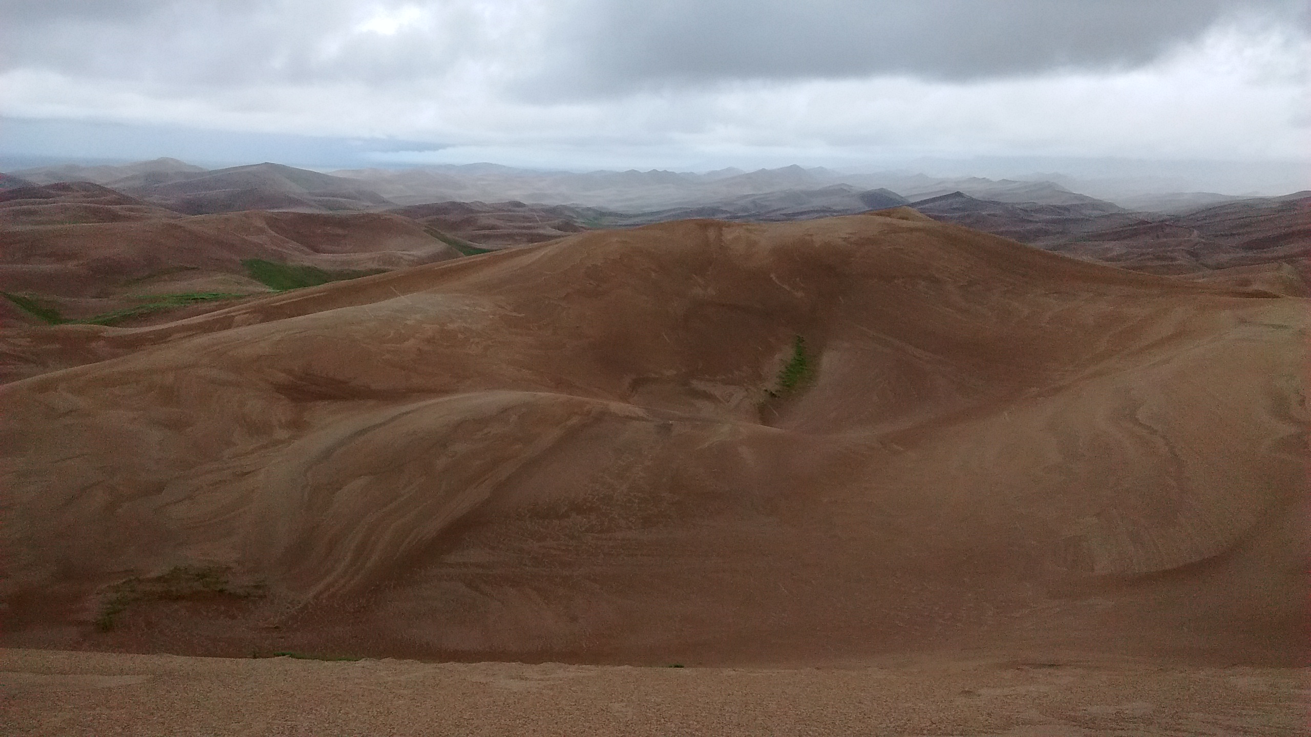
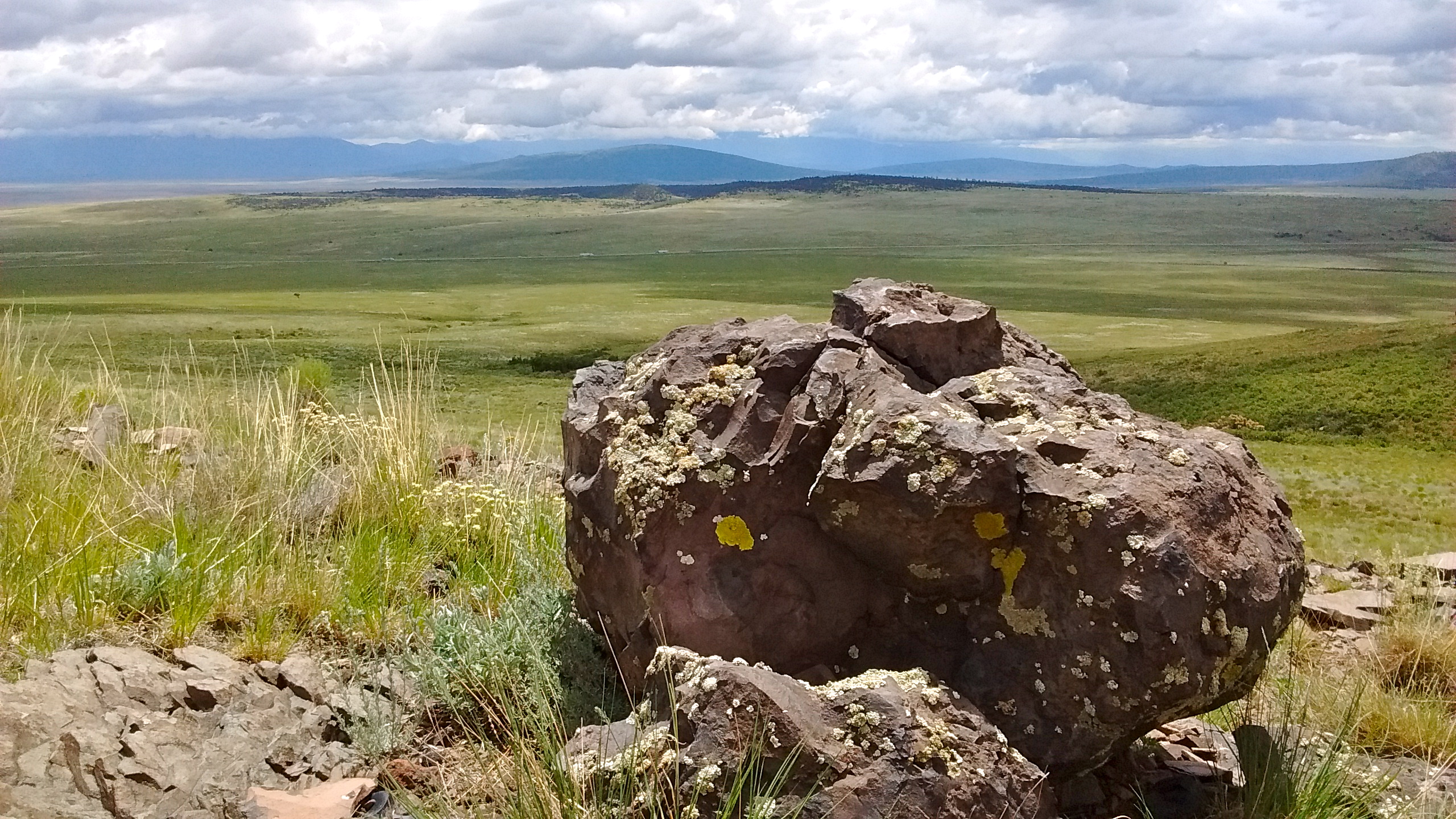
What we failed to account for is that it is still the monsoon season around here, which means an afternoon thunderstorm can quickly build up in the mountains, while it’s still hot and sunny in town. And that’s exactly what happened. Our loop took us up to the North Crest for a nice overlook lunch spot, but as we turned around to head back we could see the dark clouds beginning to form.

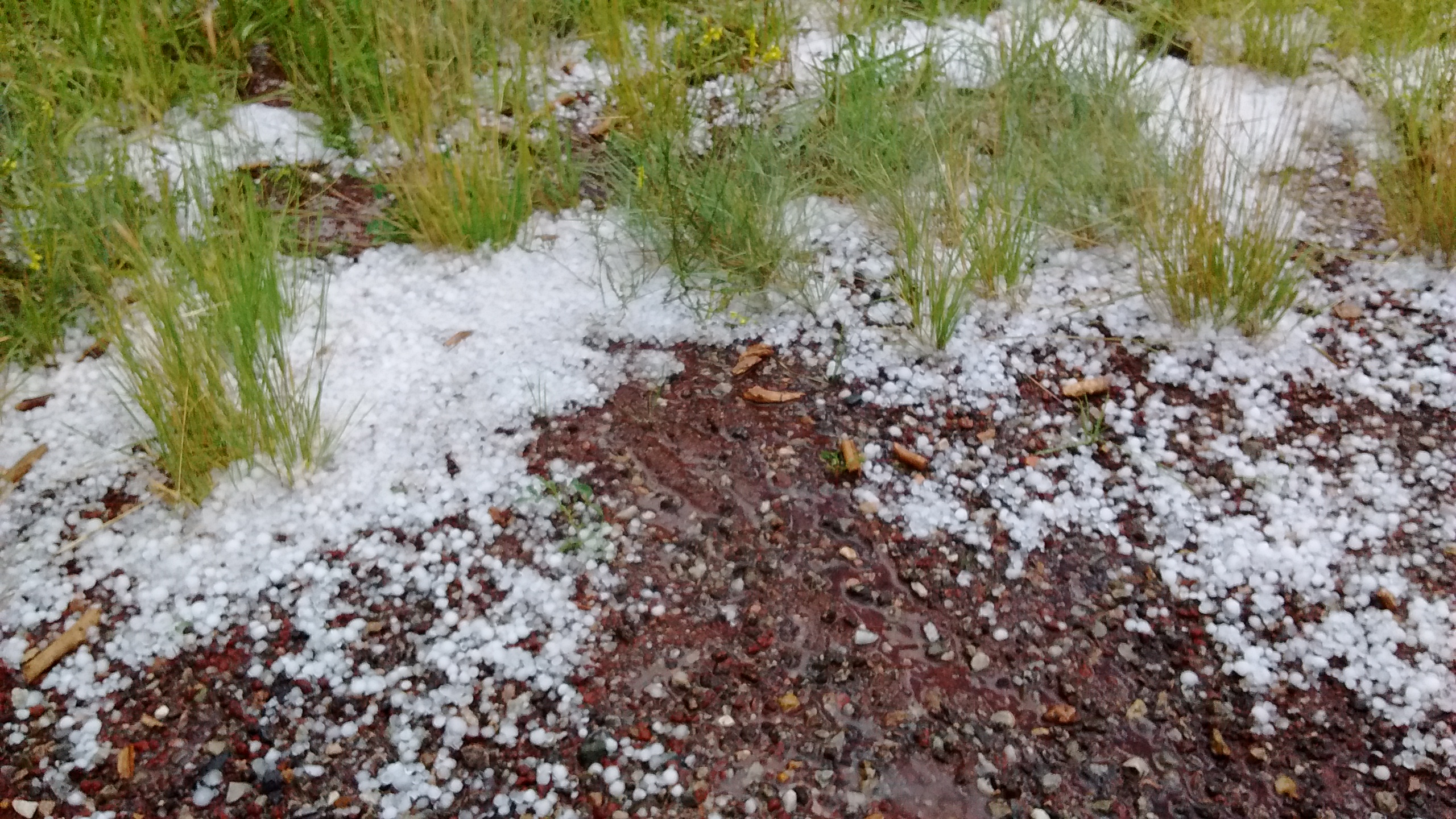
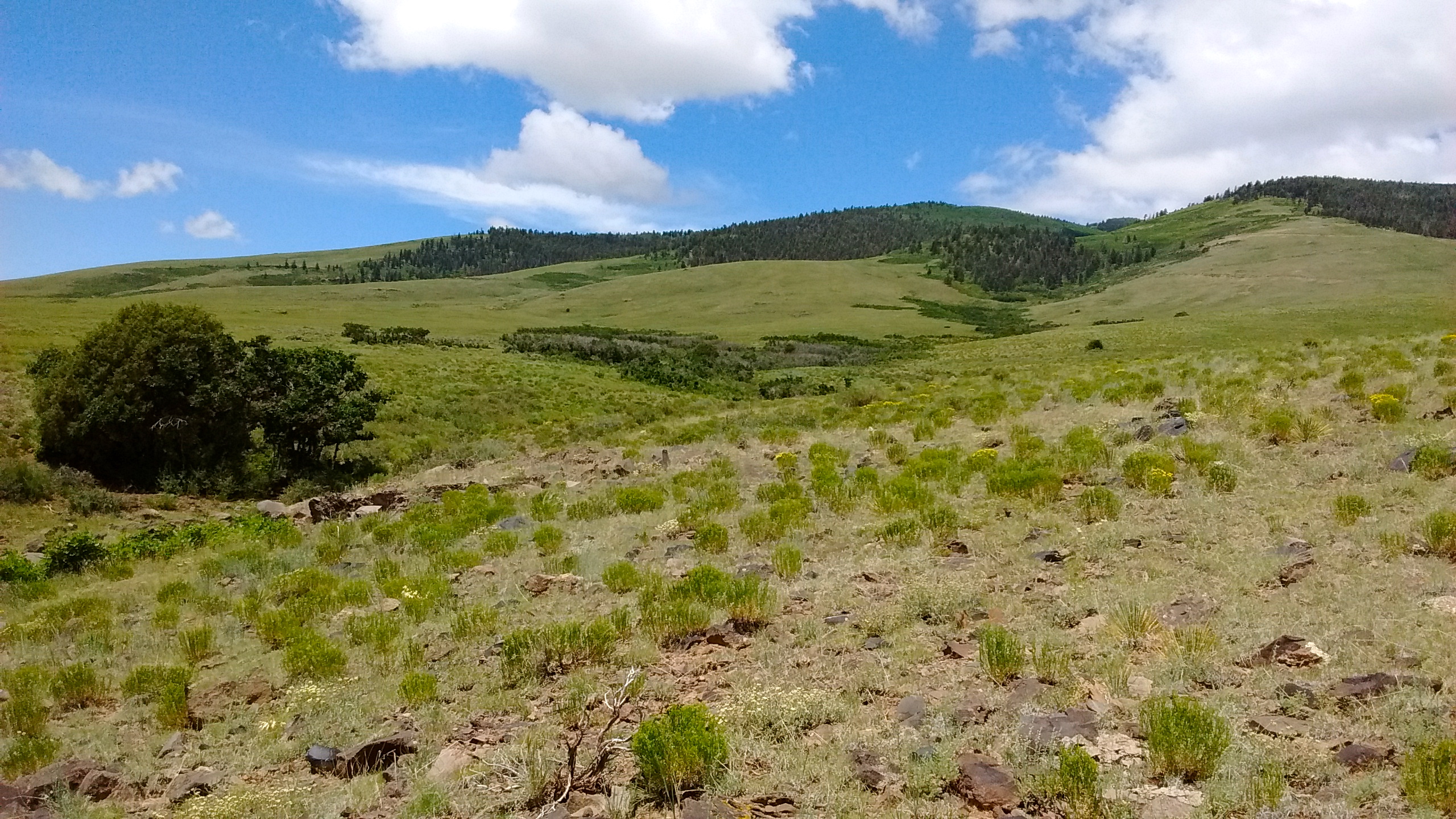
We walked back on the Ellis Trail, which is not as forested as the 10K Trail. I was getting nervous on the exposed slopes when I began to see lightning and hear thunder. Fortunately, before the storm hit we had looped back to the 10K and were under cover of the trees. What surprised us the most was starting to see hailstones bouncing on the trail and then suddenly we were getting pounded by hail before it began to rain in earnest. Typical of storms around here, though, it didn’t last very long. In less than 20 minutes we were back to the car and the storm had stopped.

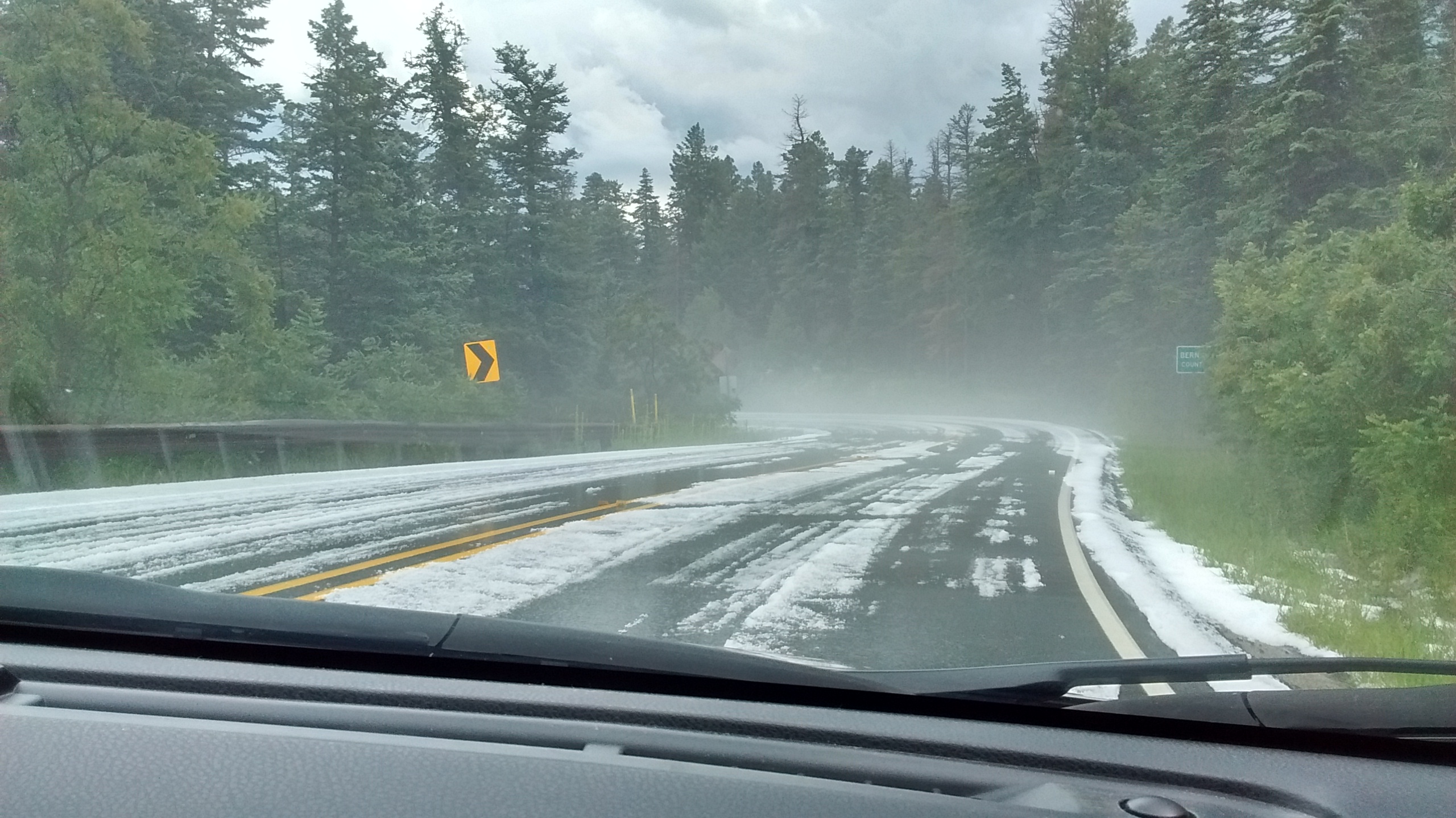
Driving back down the mountain the road was slick and white, covered with hail, looking like a winter storm had hit. The temperature had dropped to 52 degrees. Back in Albuquerque, which is only a 30-mile drive, the temperature was 94 degrees. It was hard to believe that just a short time before we had been wet and cold. It’s like a different world when you go from the desert up into the mountains. One of the best things about living here is how quickly you can go from one to the other. There’s nothing quite as refreshing as a hike in the mountains on a hot summer day, hailstorm and all. I’m thankful we finally had the time to get back on the trail.

Start of the 10K Trail.

Harebells
Harebells
Interesting fungi.
Interesting fungi.

IMG_20150810_120149565

View from North Crest, looking south towards Albuquerque.
From North Crest looking towards Rio Rancho.
Mushrooms on a tree.
Starting loop onto Ellis Trail.
Still lots of wildflowers.
Indian Paintbrush.
Indian Paintbrush.
We took a shortcut from the Ellis Trail back to the 10K by walking along the power line.
Hail by the side of the road.
Driving back down after the hailstorm.

Colorado Camping

Weather is always an unpredictable factor in planning a camping trip, especially if you plan to camp in Colorado. The rugged beauty of Colorado mountains and valleys is a big draw, but all of that lush greenery doesn’t get there by magic. It takes winter snow and summer rain and lots of it.

We experienced some of that summer Colorado rain this week when we set out for South Fork, Colorado, to camp and hike for a couple of days in the Rio Grande National Forest. When we arrived Monday afternoon we barely had time to set up our tent before a thunderstorm blew in through the mountain pass drenching everything and dropping the temperature about 15 degrees. Fortunately, it stopped raining before dinnertime and we were able to crawl out of the tent to cook dinner and then take an evening walk around the reservoir before dark.

Big Meadows Campground is along the shore of Big Meadows Reservoir.  Spruce beetle infestation has killed many of the firs.
Big Meadows Campground is along the shore of Big Meadows Reservoir. Spruce beetle infestation has killed many of the trees.
reservoir
Looking north from trail around Big Meadows Reservoir. Campground is visible on the east shore.
south fork
From north end of Big Meadows Reservoir, the South Fork of the Rio Grande flows north to join the Rio Grande River.

Throughout the night Monday we were periodically awakened by the sound of rain and thunder. Although we stayed dry in our tent, by the next morning it was obvious the day would be too cold and wet for the hike we had planned in the nearby mountains. Instead, we drove back south about 50 miles to the San Luis Valley, where we spent the day exploring Great Sand Dunes National Park. It was cloudy all day, even in the valley, and the temperatures barely warmed up to 60 degrees.

The dunes are behind Medano Creek.
The only way to get to the dunes was to wade across Medano Creek.  This is wading back across to the visitor center after we climbed the dunes.
The only way to get to the dunes was to wade across Medano Creek. This is wading back across to the visitor center after we climbed the dunes.
Cloudy day meant we missed the view of Sangre de Cristo Mountains as the backdrop to the dunes.
Cloudy day had its advantage.  It was a long hike to the highest dune and would have been very hot on a sunny day.
Cloudy day had its advantage. It was a long hike to the highest dune and would have been very hot on a sunny day.
Tough hiking, but we made it to the top of the highest dune.
These dunes are massive.  We only saw a small portion of them.
These dunes are massive. We only saw a small portion of them.

By Wednesday morning we were ready to pack up and head back to New Mexico where there was a better chance of clear skies and warmer temperatures. On our way to Colorado, traveling on US285, just before the Colorado border, we had noticed the interesting peak, San Antonio Mountain, just west of the highway. It sits by itself out in the sagebrush plains on the west side of the Rio Grande Del Norte National Monument. There aren’t any established trails on the mountain, but it is BLM land, open to the public, except for one small area of private land. We decided that on our way back to Albuquerque we would stop there and investigate.

The one road access from US285 dead ends at a fence with a closed gate, blocking the way to the private land. We parked our car by the gate and then began our trek around the private land and up the grassy slope of the mountain. We didn’t make it all the way to the top, but had a good time looking at wildflowers and the views to the east. All that open land and blue skies was a nice welcome back to New Mexico.

Not as green as Colorado but nice to see some blue sky.
Walking across field towards San Antonio Mountain.
Lupine on San Antonio Mountain
Interesting to watch a bumblebee as it pollinated the lupine flowers.
Indian paintbrush on San Antonio Mountain.
From partway up San Antonio Mountain looking east.  Highway 285 in the distance and beyond that Ute Mountain on Rio Grande del Norte National Monument.
From partway up San Antonio Mountain looking east. Highway 285 in the distance and beyond that Ute Mountain on Rio Grande del Norte National Monument.