The Best Laid Plans

After a lazy start to our Saturday we asked each other what tasks or plans we might want to accomplish with the rest of our day. My conclusion was that I would lounge a bit longer in my easy chair and then maybe I would be inspired about what to do next. Before long, an idea popped into my head which required me to get up and log in to my computer. I was just warming up at the keyboard when the phone rang. “We’re getting our stuff together now to head out for a hike,” my friend said, “and wondered if you guys wanted to join us.”. Wow, what could be better than going hiking, even on a day when we were planning to just be lazy.

Our friends were patient enough to wait for us to get ourselves ready and even offered to come by and pick us up. One of the many benefits of hiking is that it doesn’t take long to make a sandwich, fill up water bottles, grab a day pack and head out the door. When Ken and Sue drove up we were already outside waiting.

The trail they had selected was a short drive from town. What I feared would be a late start, turned out to be plenty of time to accomplish the goal.

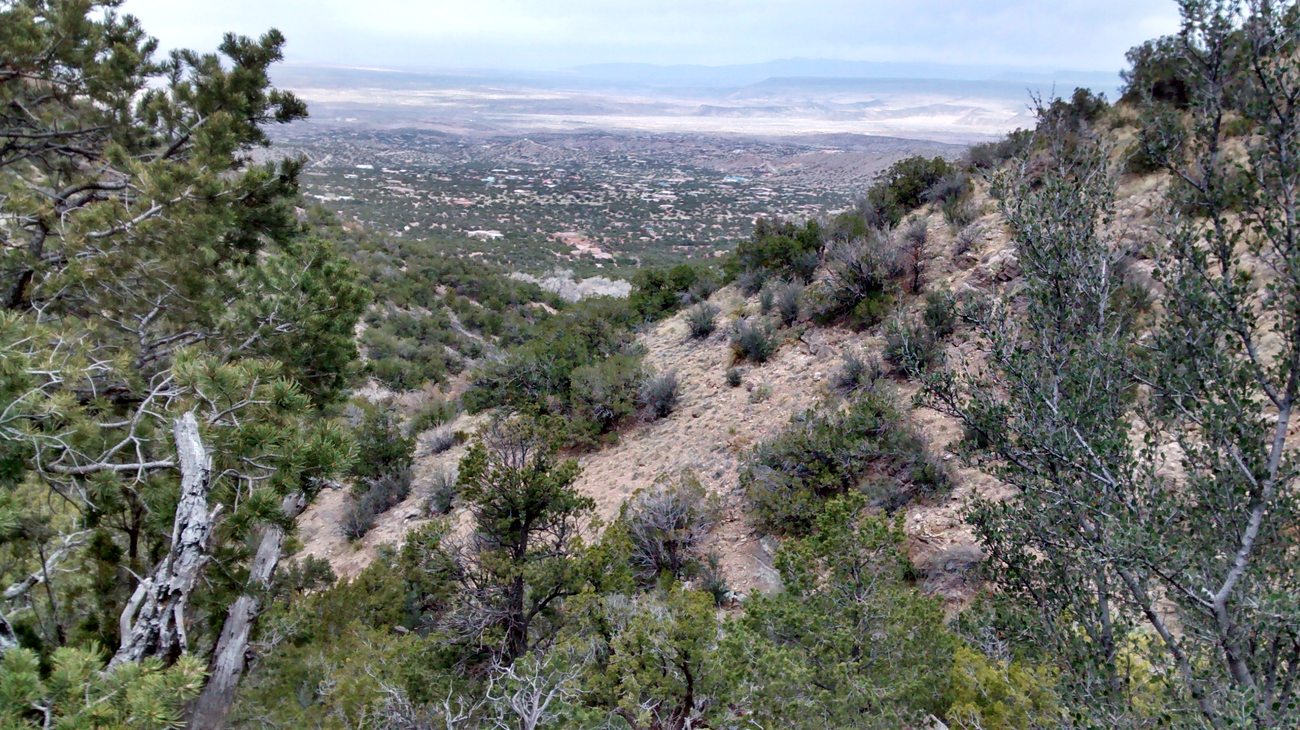
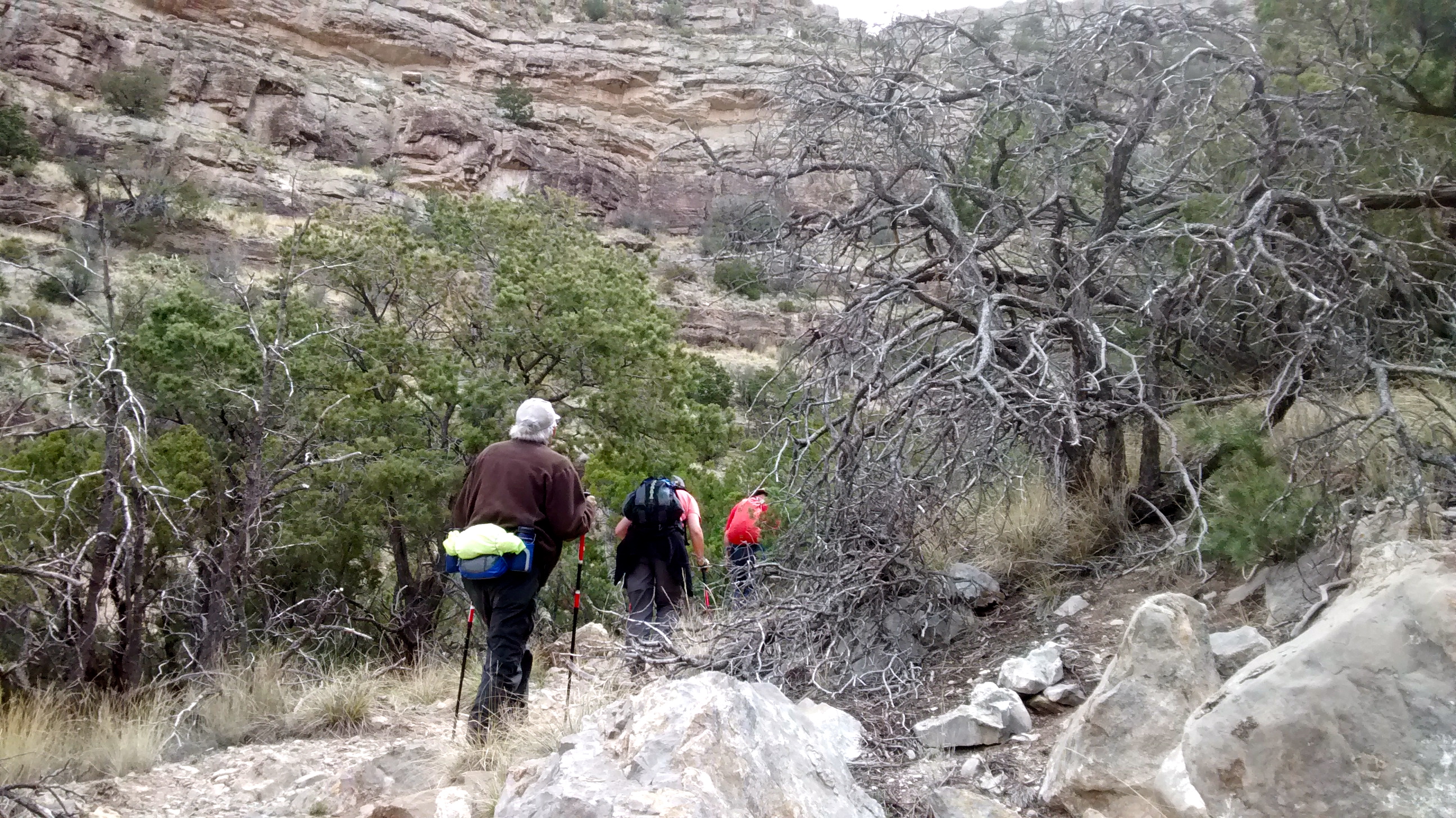
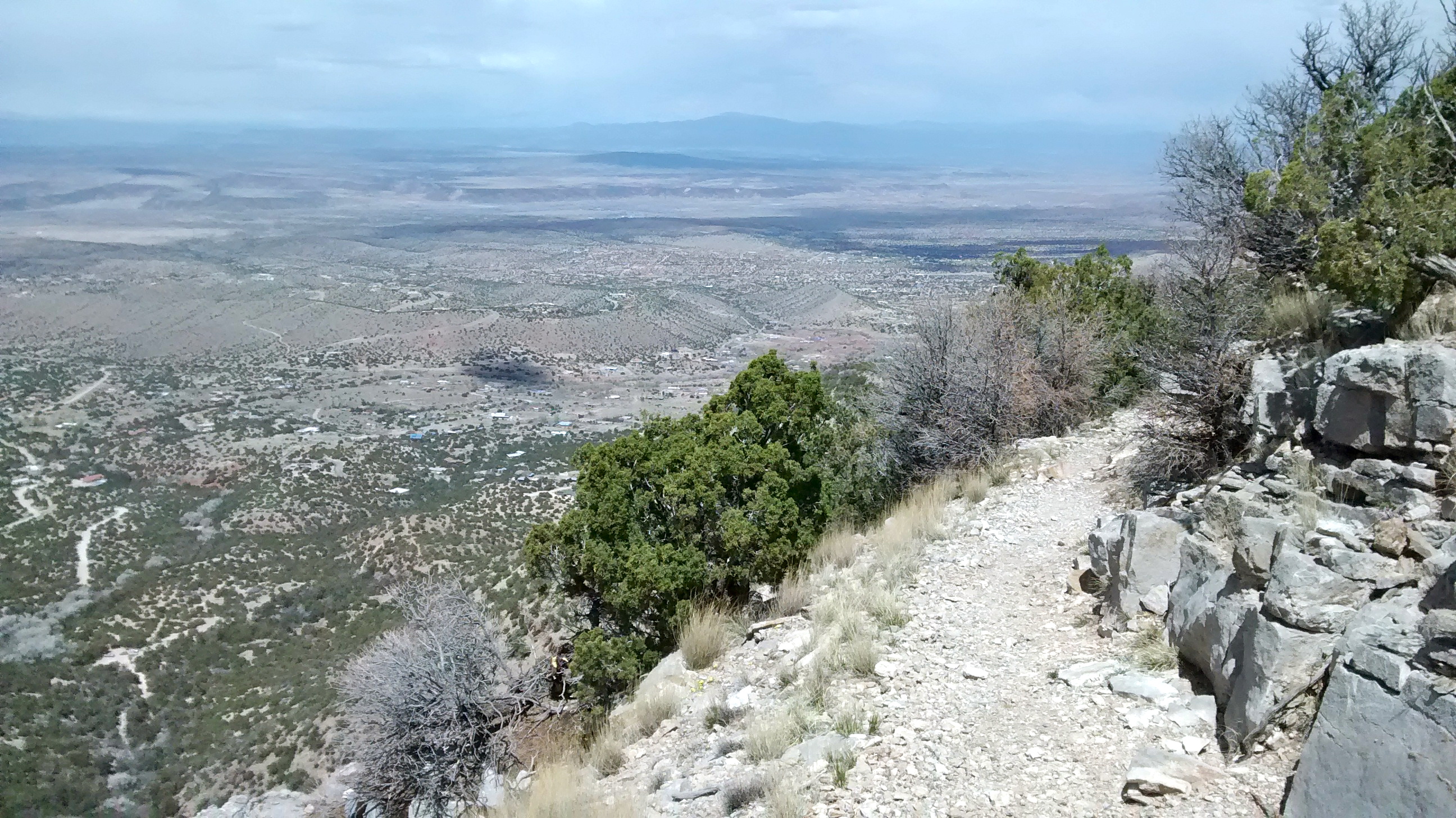
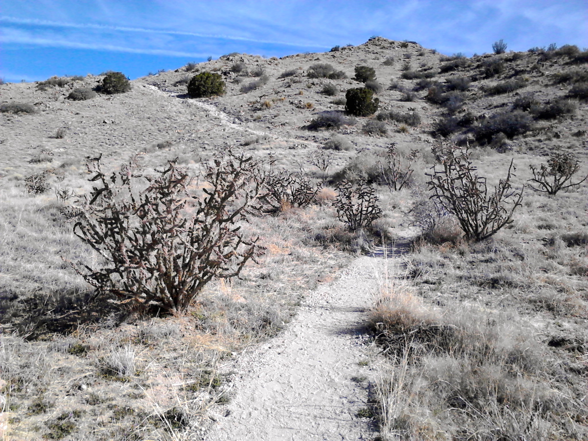
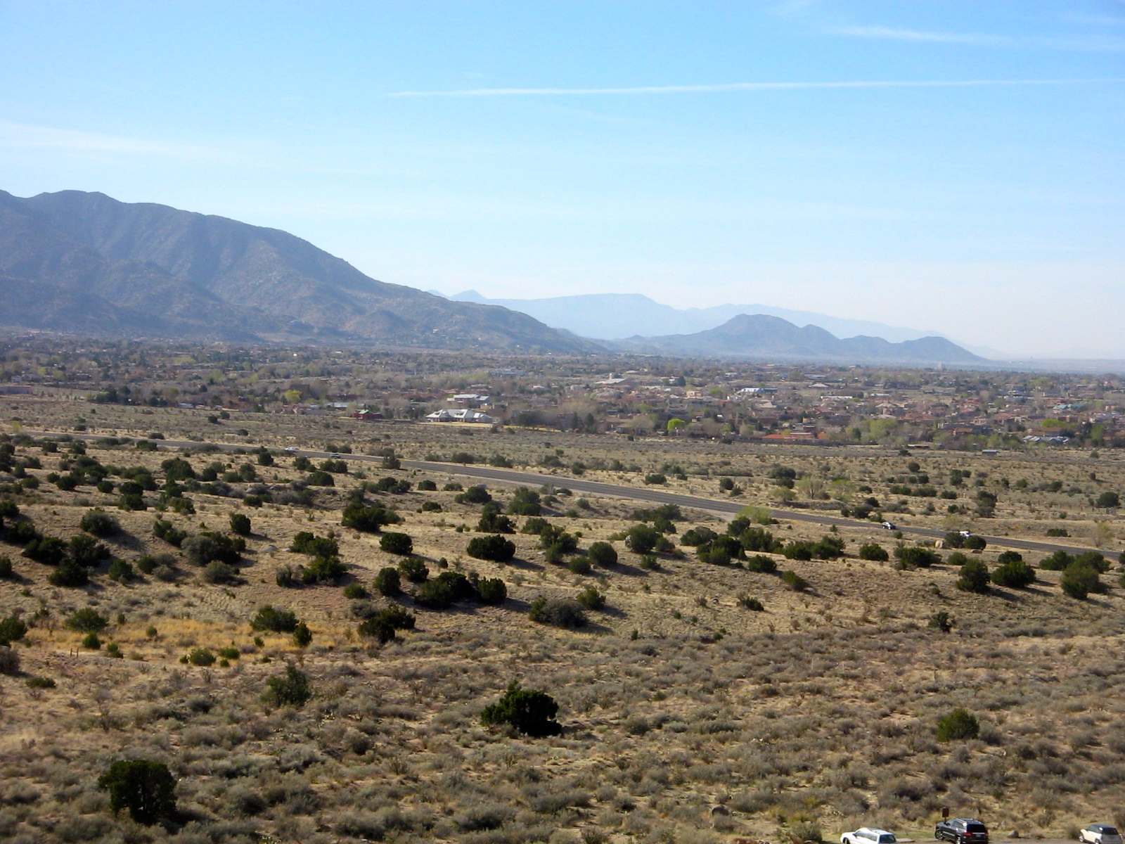
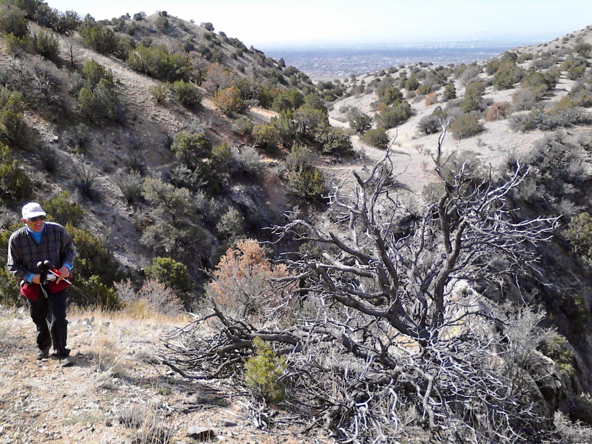
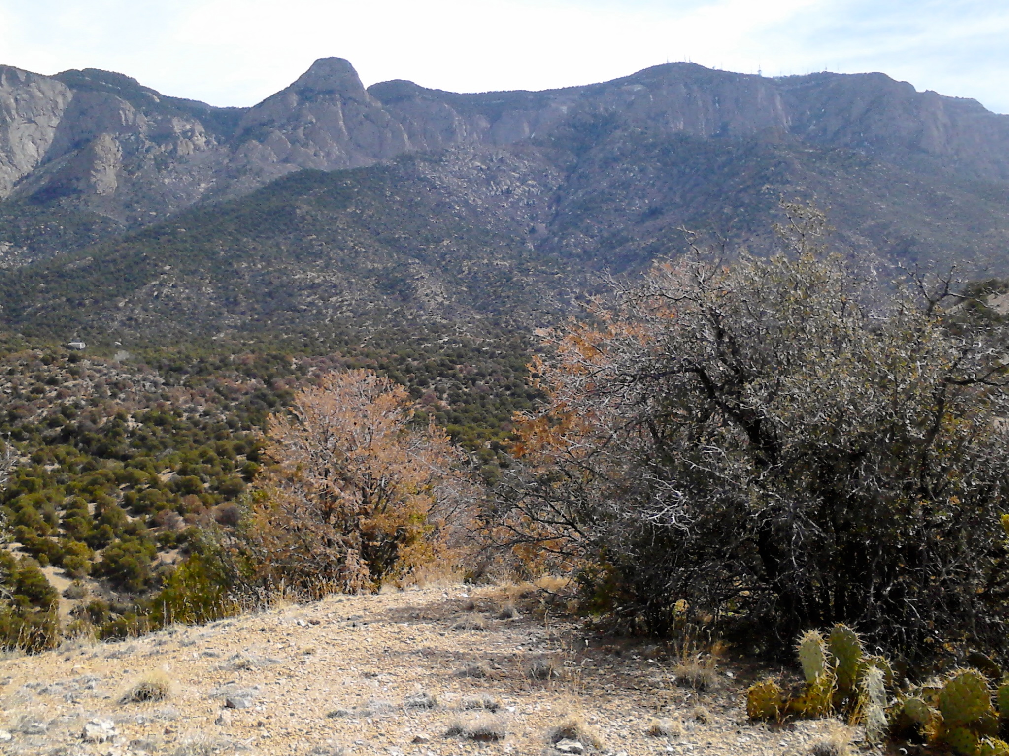
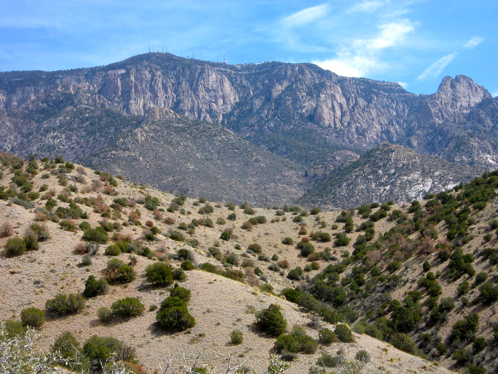
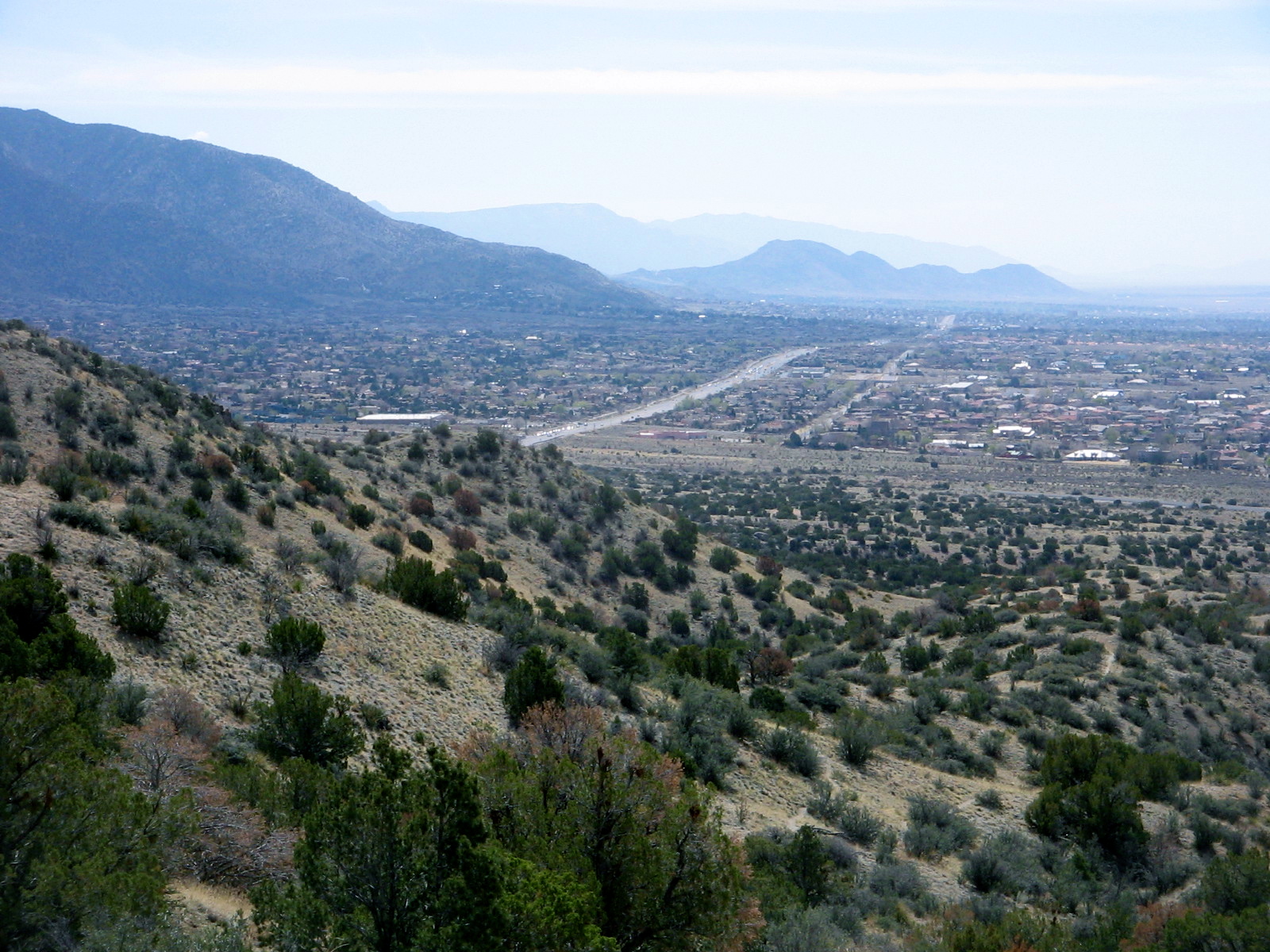
The plan was to start near Placitas at the Tunnel Springs trailhead, a starting point for hiking up the North Crest Trail. We would go partway up that trail to the intersection with the Ojo Del Orno Route, a shortcut, steep descent back down to the starting point. I much prefer going up steep trails and suggested reversing the loop so that we would do the Ojo Del Orno first. The majority agreed so we quickly found ourselves huffing and puffing our way up to the Crest Trail.

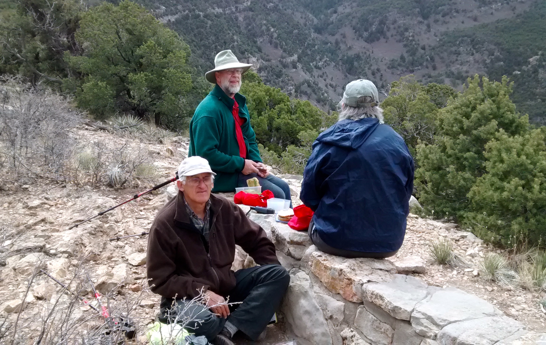
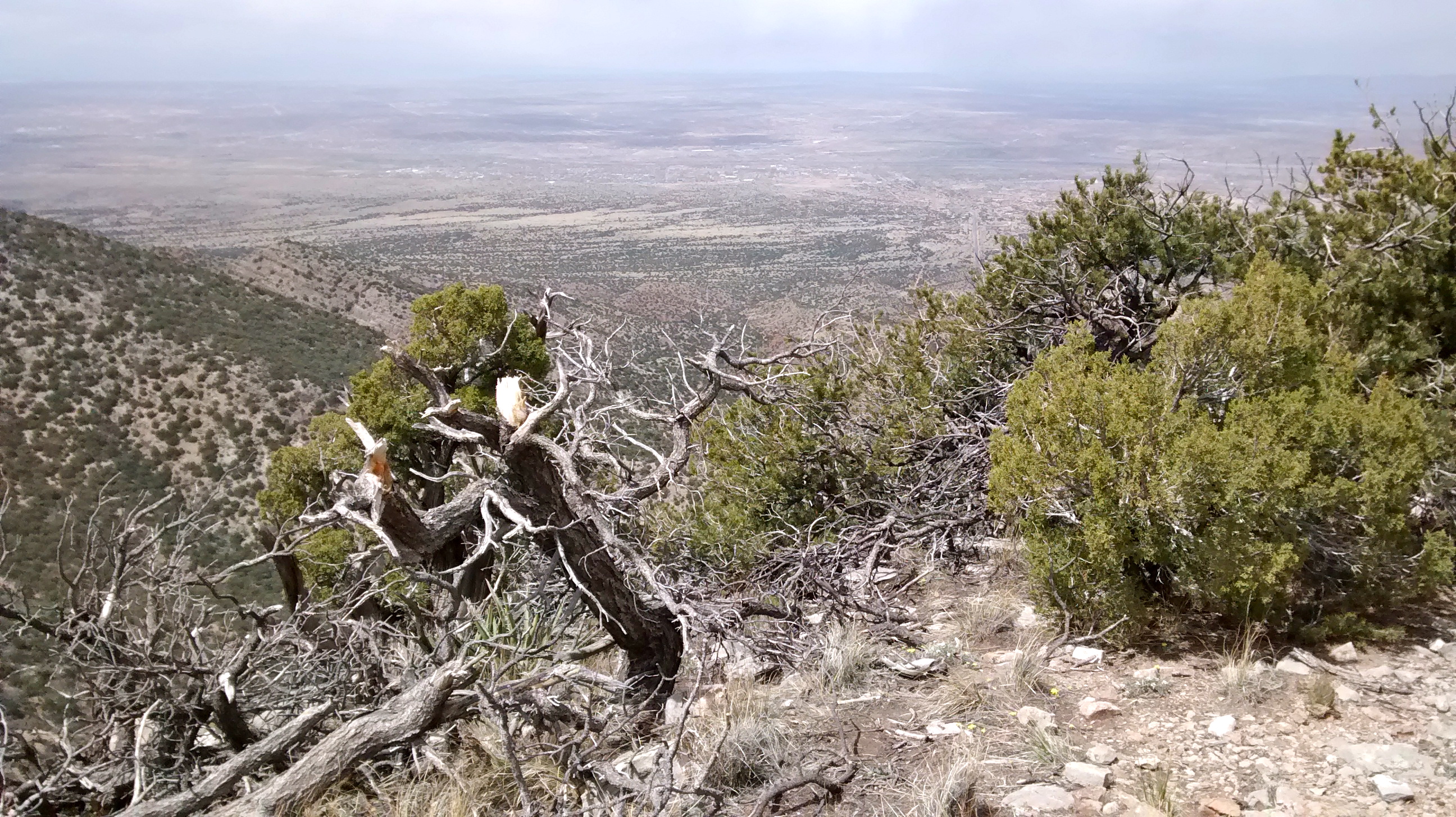
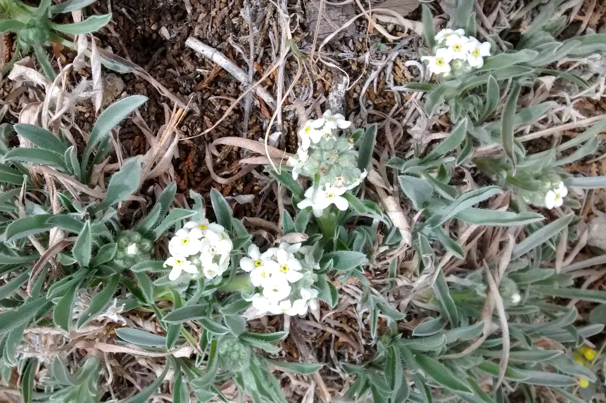
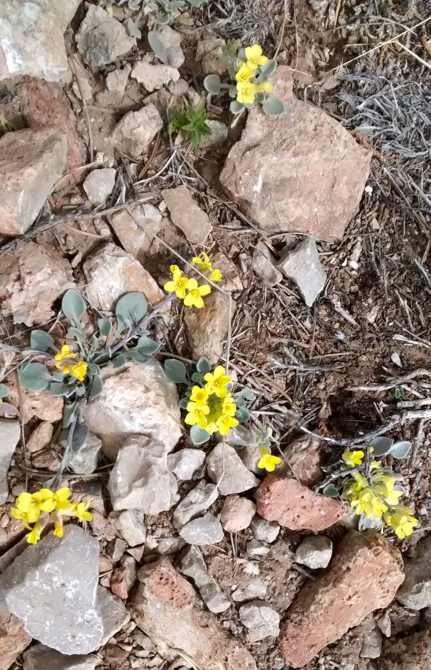
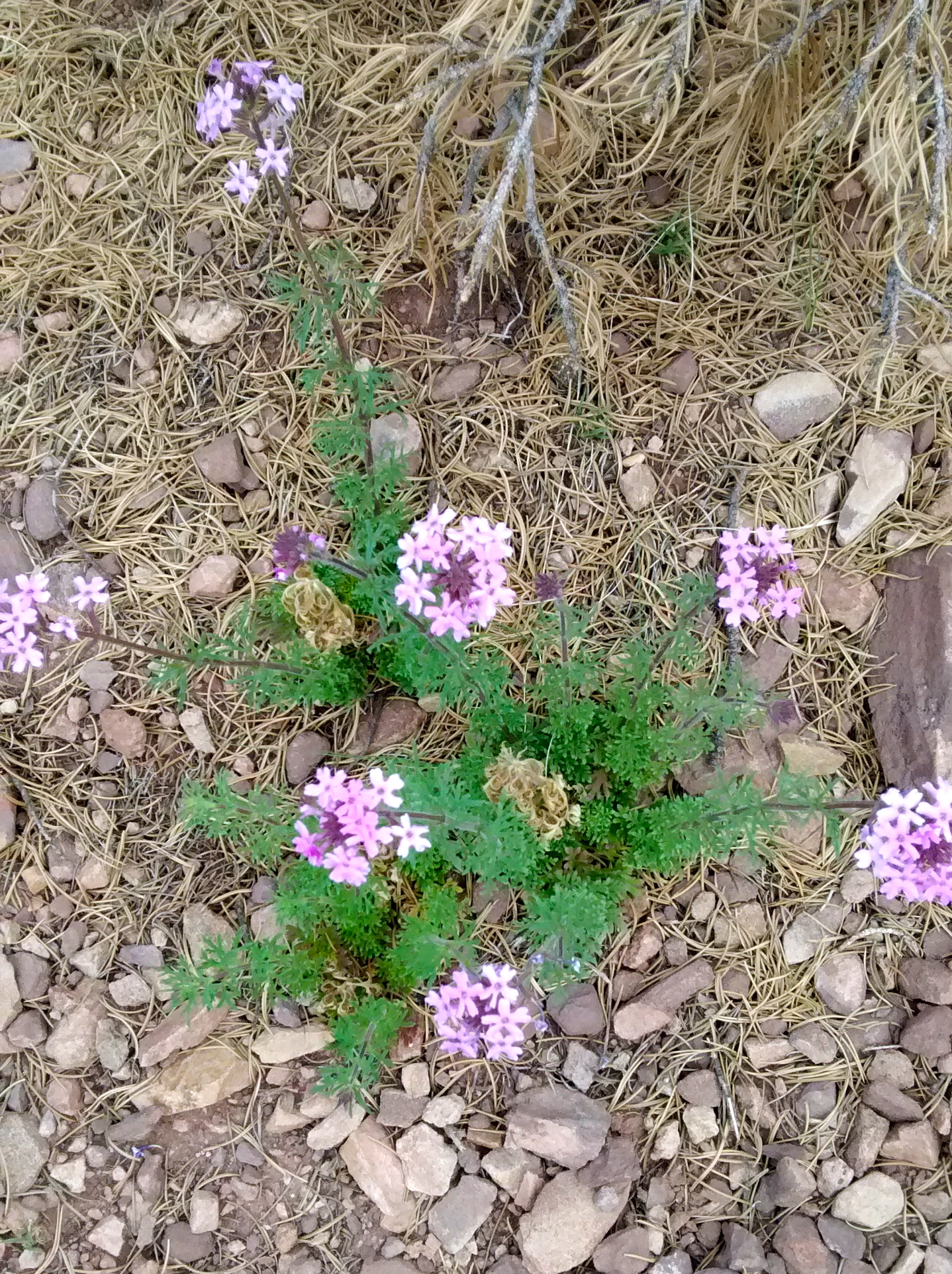
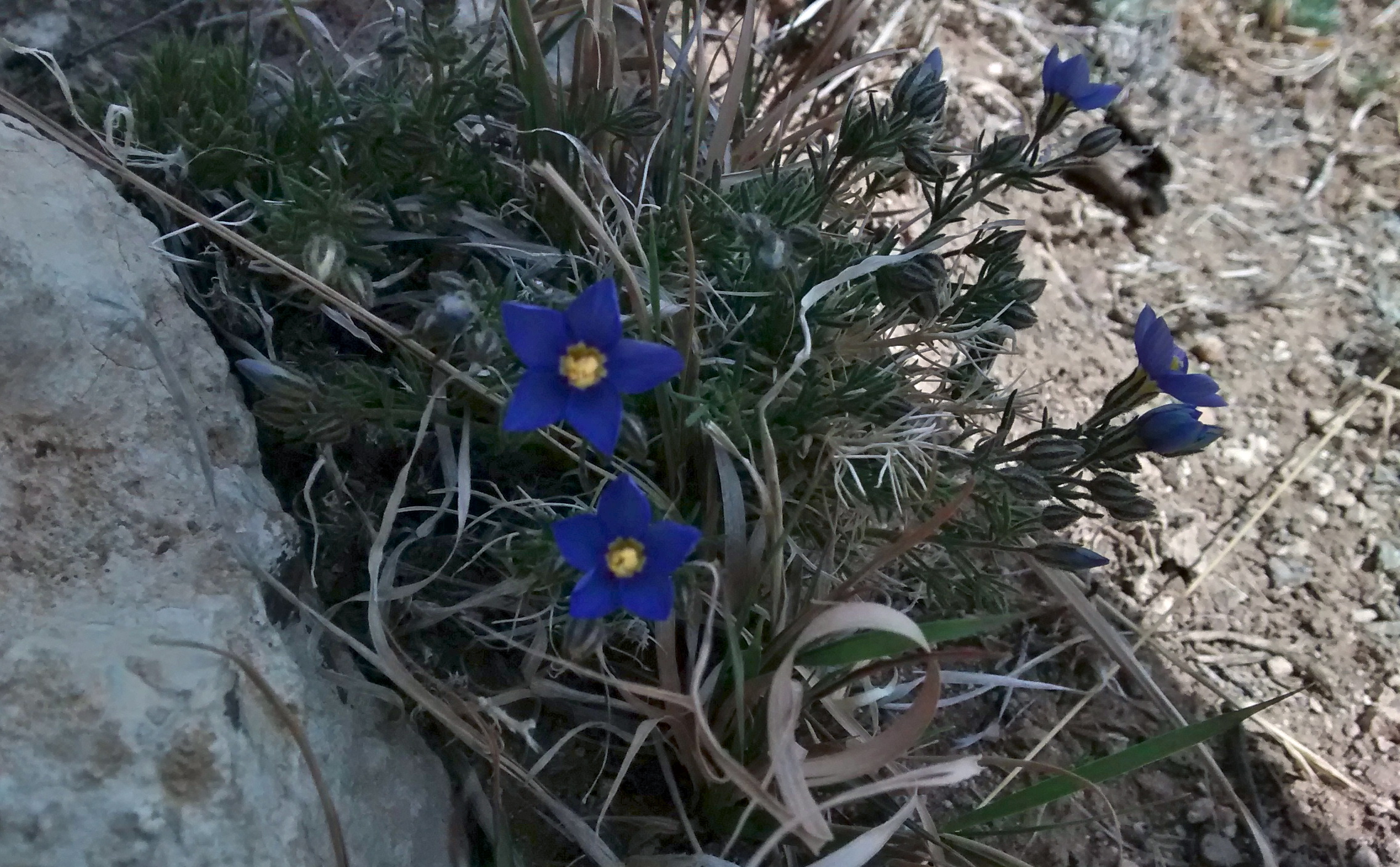
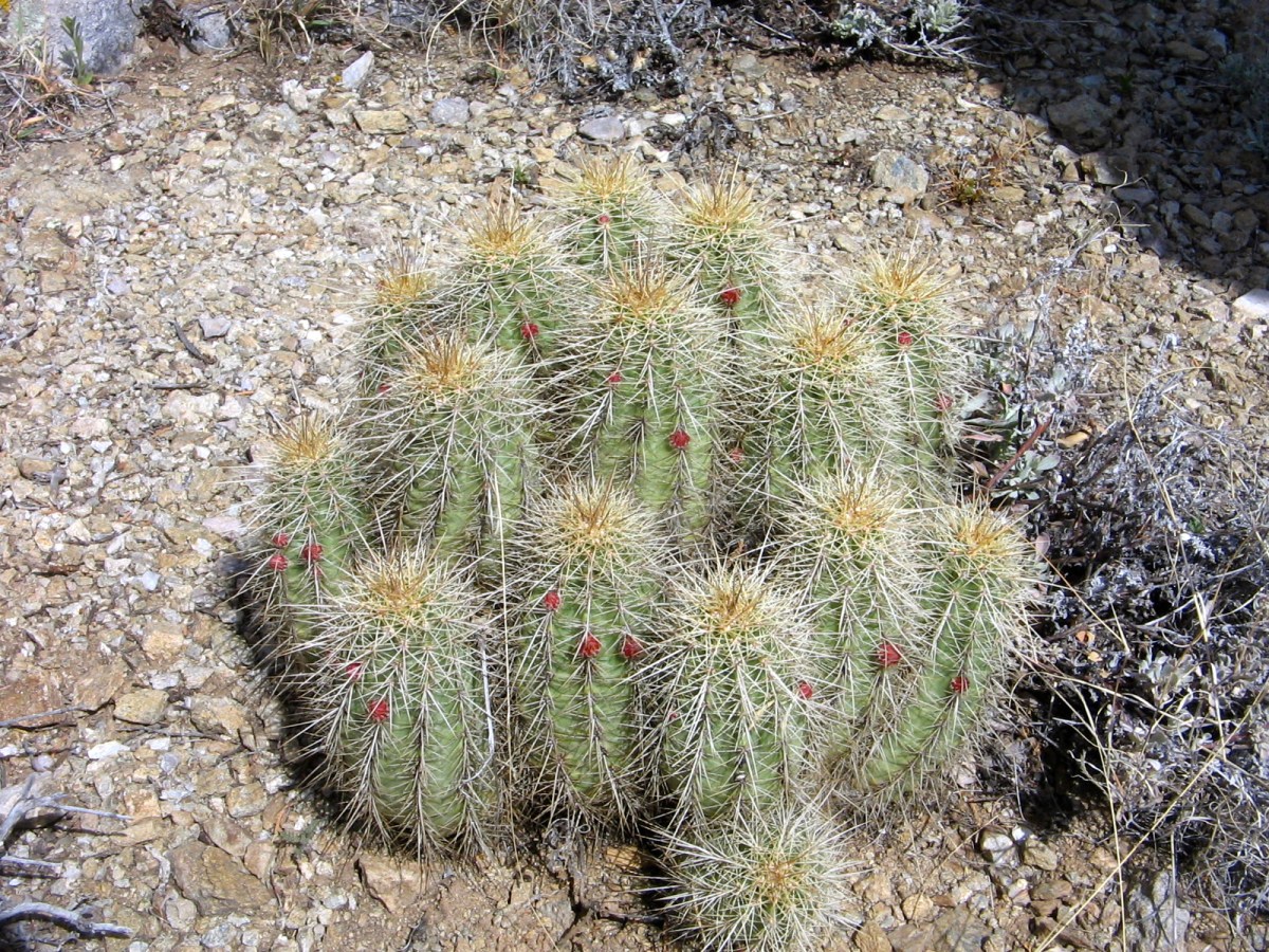
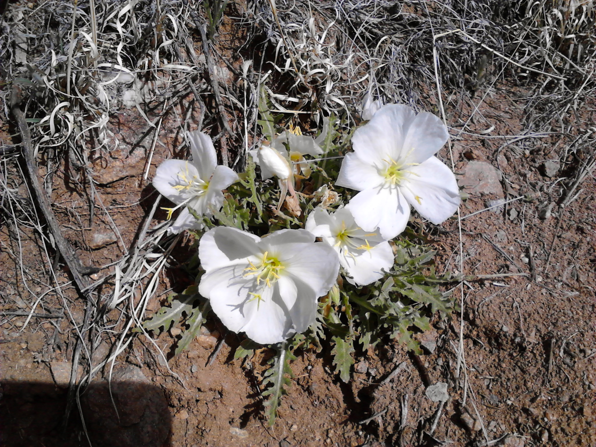
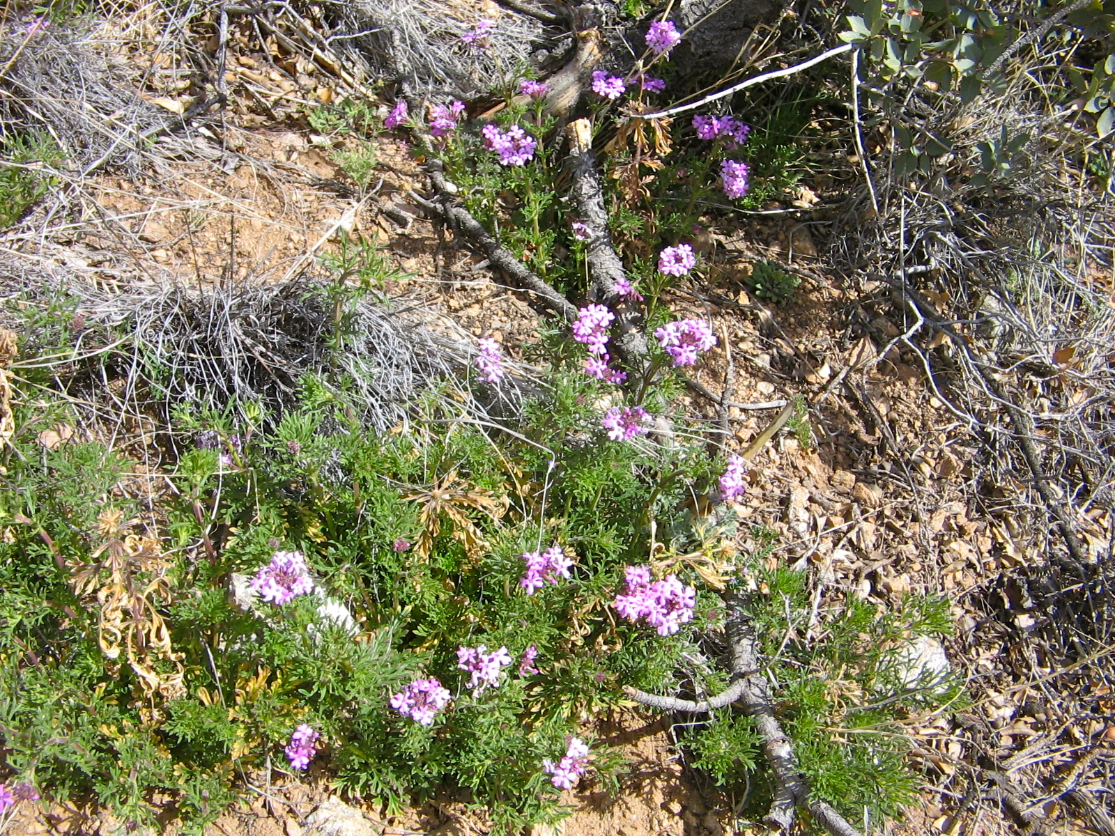
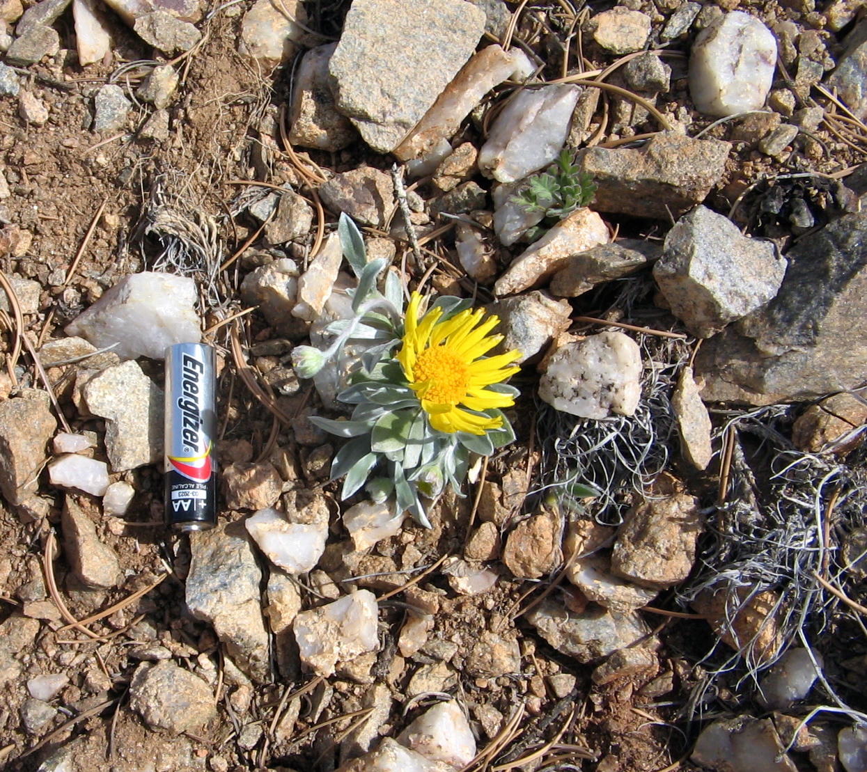
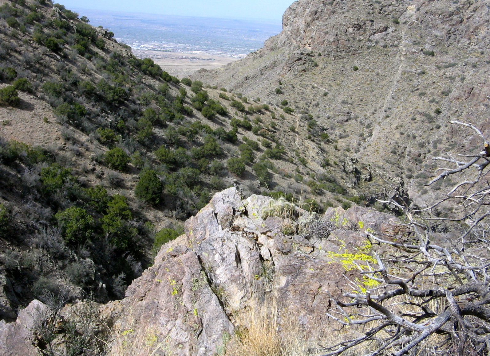
As always, the energy expended is well worth it for the awesome views from the top and the knowledge that the way back down will be much easier. A short distance south along the Crest brought us to an overlook with a rock bench, perfect as a place to enjoy our lunch. After lunch, turning back north along the Crest, we still had the majority of the miles for the loop left to do. But it was easy walking with more views and wildflowers along the way, ending the day with a sense of accomplishment, grateful for another opportunity to get out and enjoy this beautiful land.

Click here to view terrain and GPS Track on Every Trail

Part way up Ojo del Orno Canyon looking north towards Placitas.
Heading upwards to meet the Crest Trail.
Handy stone bench to stop for lunch break.
View from lunch spot.
Interesting geology.
“Sandwich Rock”. Don’t worry, I had a much better sandwich in my pack for lunch.
Coming down North Crest Trail with view towards Santa Fe.
Bow-nut Cryptantha
Bow-nut Cryptantha
Cutflower Puccoon.
Cutflower Puccoon.
Fendler's bladderpod
Fendler’s bladderpod
Verbena, also called Dakota Vervain.
Yet to be identified wildflower.

Has Spring Sprung?

cactus

For me, the sign that spring has arrived here in the desert will be when the cacti begin to bloom. It’s almost here, as you can see from the beginnings of blossoms on this cactus that we saw while hiking yesterday. As I said to Lee, I would sure like to be on this trail in a couple of weeks when it is in full bloom. This variety has large, beautiful red flowers that are even more striking because they are on a prickly cactus that looks barely alive.

If we did decide to go back in another week or so to see the cactus again, we would have a hard time finding the place where we took the picture. We started the hike from a trailhead that we have passed a number of times on the way to other hikes, but it was not a marked trail and led us into a part of the Sandia foothills that we had not yet hiked.
There were many trails branching off in all different directions once we climbed up and over the first ridge. We had been trying to follow directions for a hike that the seniors do here, but within the first mile we realized that we had wandered off from what their hike described. With many different trails and no trail markings or named trails, a GPS device would be needed and we didn’t have that.

But we did have lots of viewpoints and Albuquerque landmarks visible around us so there was no danger of us getting lost. We may not have walked the same path as the hike description, but we thoroughly enjoyed the terrain that we covered. I was looking forward to comparing the GPS track I was creating using the Every Trail app on my phone to the GPS track on the ASCHG track. Unfortunately, at the end of the hike I fumbled with the phone and accidentally deleted the track that I had made.

I was upset that I deleted my track, but in doing a web search for more information on Juan Tabo Canyon, I came across an Every Trail posting that another hiker did for this hike. It’s interesting to compare the pictures posted there to some of the same views we had. The Every Trail posting was in early February. What a difference 6 weeks can make. The signs of spring were everywhere up there yesterday. We may not find that same cactus in 2 weeks but I’m confident we will find others arrayed in all their springtime glory.

Start of the trail as it leaves parking area and heads into the Sandia foothills.

View to the south from the first ridge.  Our car is in the bottom right corner of the photo.
View to the south from the first ridge. Our car is in the bottom right corner of the photo.
Saw quite a few of these pretty white flowers but couldn't identify them.
Saw quite a few of these pretty white flowers but couldn’t identify them.
Hiking upward.
Hiking upward.
Purple wildflowers.
Purple wildflowers.
Downtown Albuquerque visible through the mouth of Juan Tabo Canyon.
North Sandias.  Rocky knob is called the Needle.
North Sandias. Rocky knob is called the Needle.
Crest of the Sandia Mountains with radio towers on top.
Wildflower called 'Perky Sue'
Wildflower called ‘Perky Sue’
View from our lunch spot.
View of Manzano Mountains to the south.