Thanks to my good friend, George, and all the hard work he put into capturing the hike we did yesterday with the ASCHG, I don’t have to blog about our enjoyable day. I’ll just let you read George’s post, look at his great photos, and, be sure to click on his link for the topo map with the trail route.
Went on a group hike today, all the way down to the southern end of the Manzano Mountains to hike the Pine Shadow Trail (#170A), and it took almost two hours just to get to the trail head! The Pine Shadow Trail Head is the southern entry/exit point of the Manzano Mountains and leads up towards Manzano Peak and the Crest Trail (#170), although we did not venture that far today. Hey… we’re seniors!! 😉
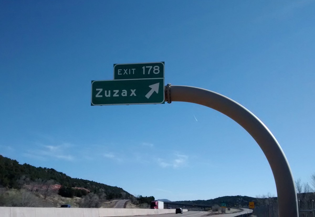
Heading east from Albuquerque on Interstate 40, about 15 miles out of town, we have always been fascinated by the name Zuzax on the Exit 178 sign. Where in the world did such a name come from? If you do a Google search on the word there is no information except what we could see from the highway–Zuzax is a small community east of Albuquerque. It’s just a subdivision, nothing historic, and only a single gas station, so we have never had a reason to go there. But finally, today, we had the opportunity to take the Zuzax exit.
A couple of miles from the Zuzax exit there is a parking area for some Cibola National Forest trails that are part of the Manzanita Trail System. We knew there wouldn’t be anything particularly exciting about the hike itself. I think it was the idea of taking the Zuzax exit that drew us.
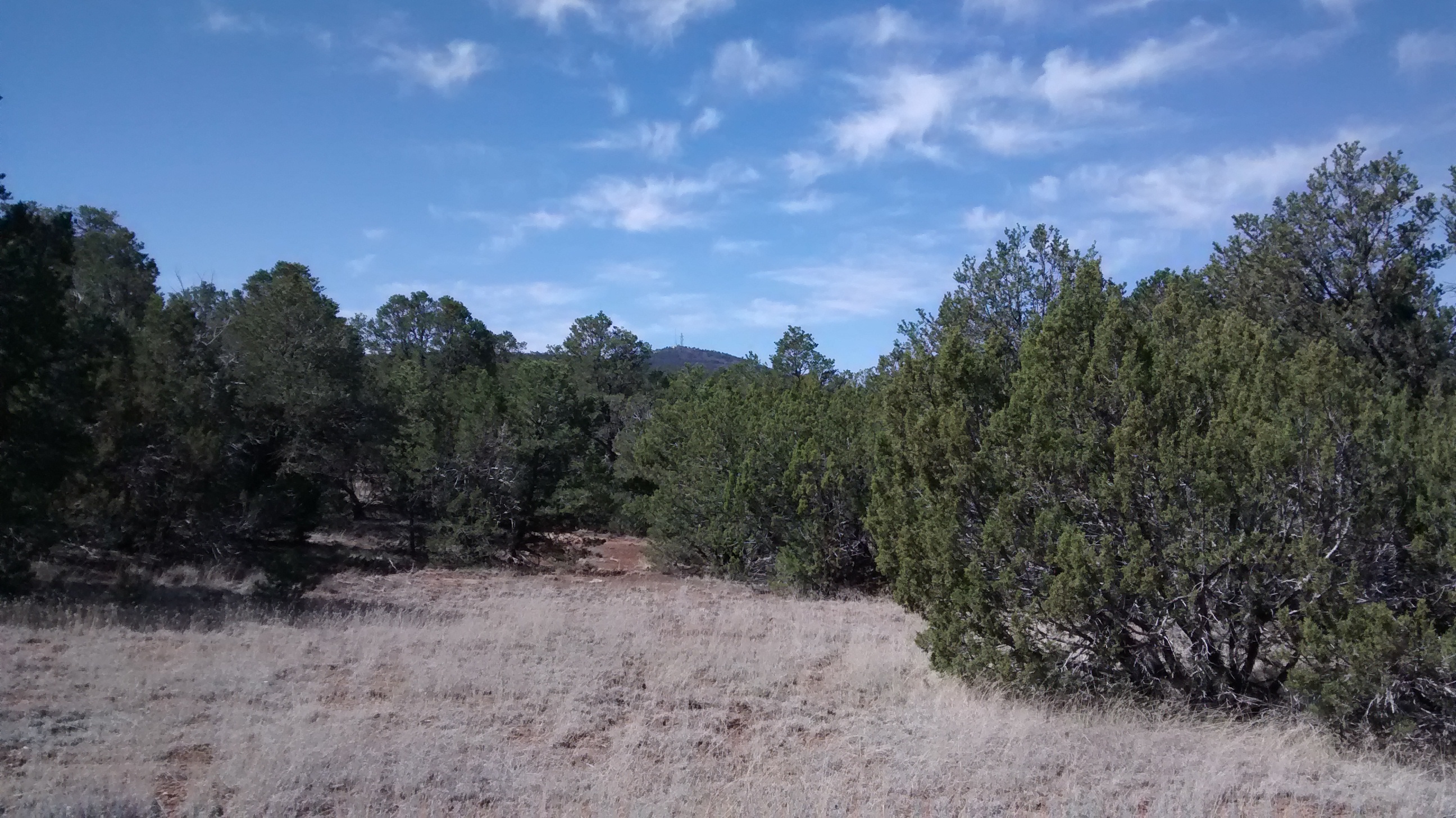
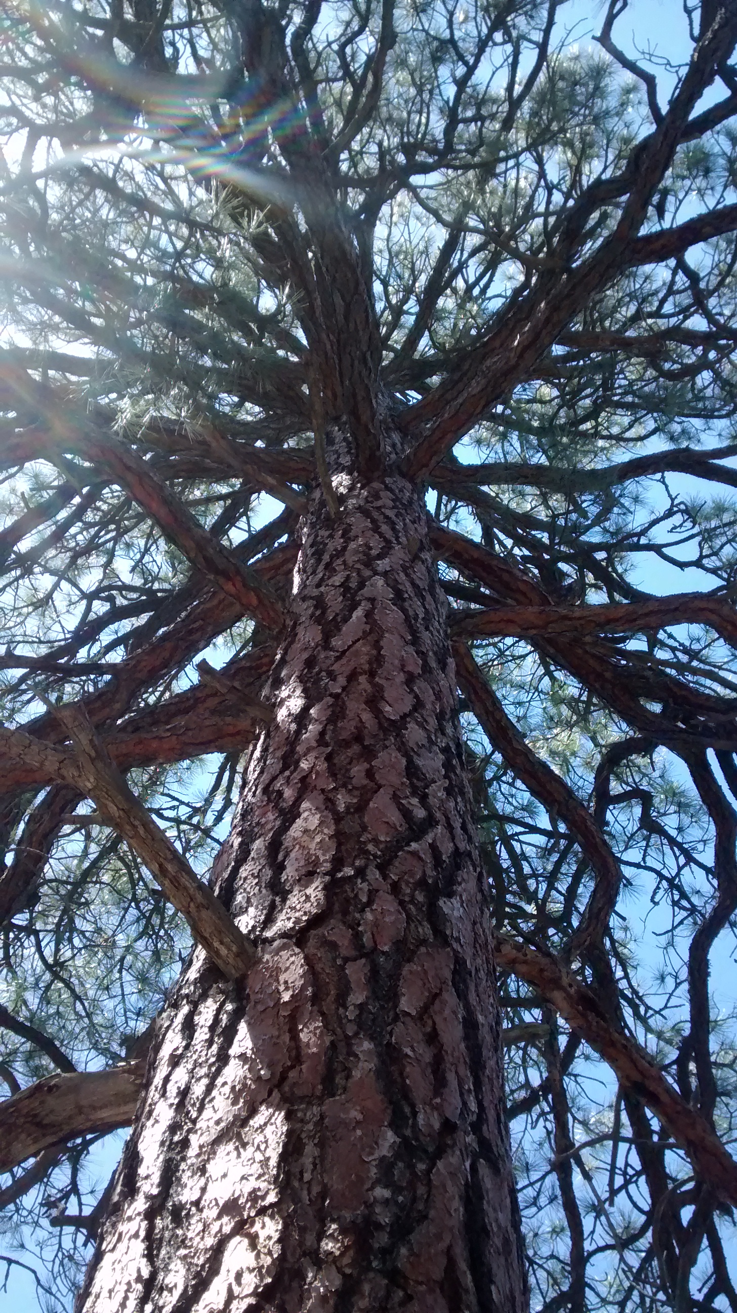
We have hiked parts of this trail system before and knew what to expect. The Manzanita Mountains are a low ridge of mostly piñon pine and juniper covered slopes that lie between the Manzano Mountains to the south and the Sandias to the north. The only significant peak is Cedro Peak (about 7700 feet), which is prominent because of the communication towers on the top. Probably because it is so close to Albuquerque, the trails are more popular with motorcycles, ATVs and mountain bikes than they are with hikers. If we had gone on a weekend we would have been overrun, but since it was a Monday, we saw only 3 bicyclists on the trail.
So no spectacular vistas or rock formations in today’s pictures but just a few photos to give you a sense of place.
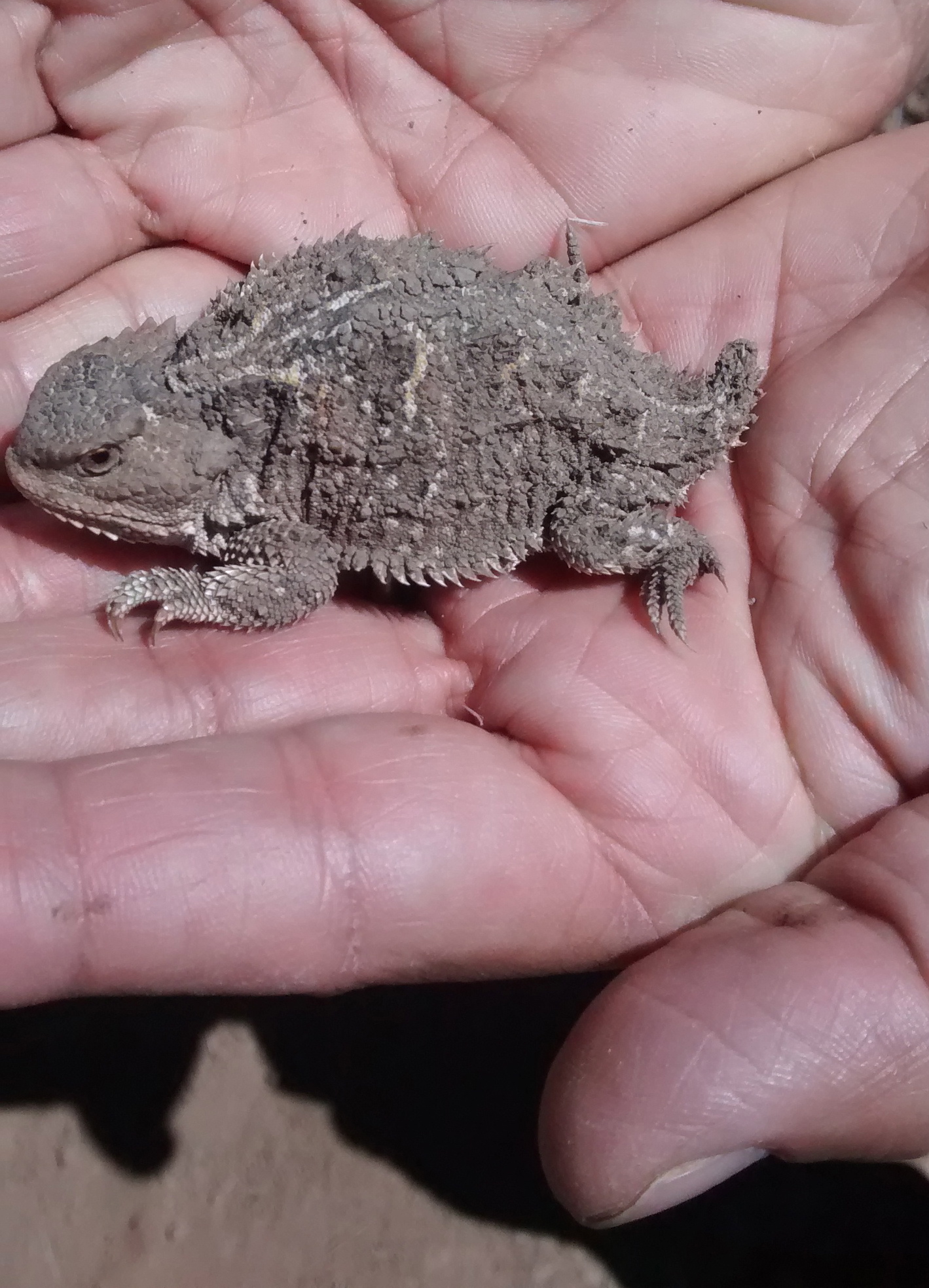
Cedro Peak in the far distance.Looking north towards the South Crest of the Sandias.Some nice ponderosa pine amongst the piñon pine and juniper.We always enjoy seeing a horny toad, another New Mexico oddity.An indication that bicyclists had input into naming some of the trails. Lots of rocky gulches further down this trail that would require some gear shifts.
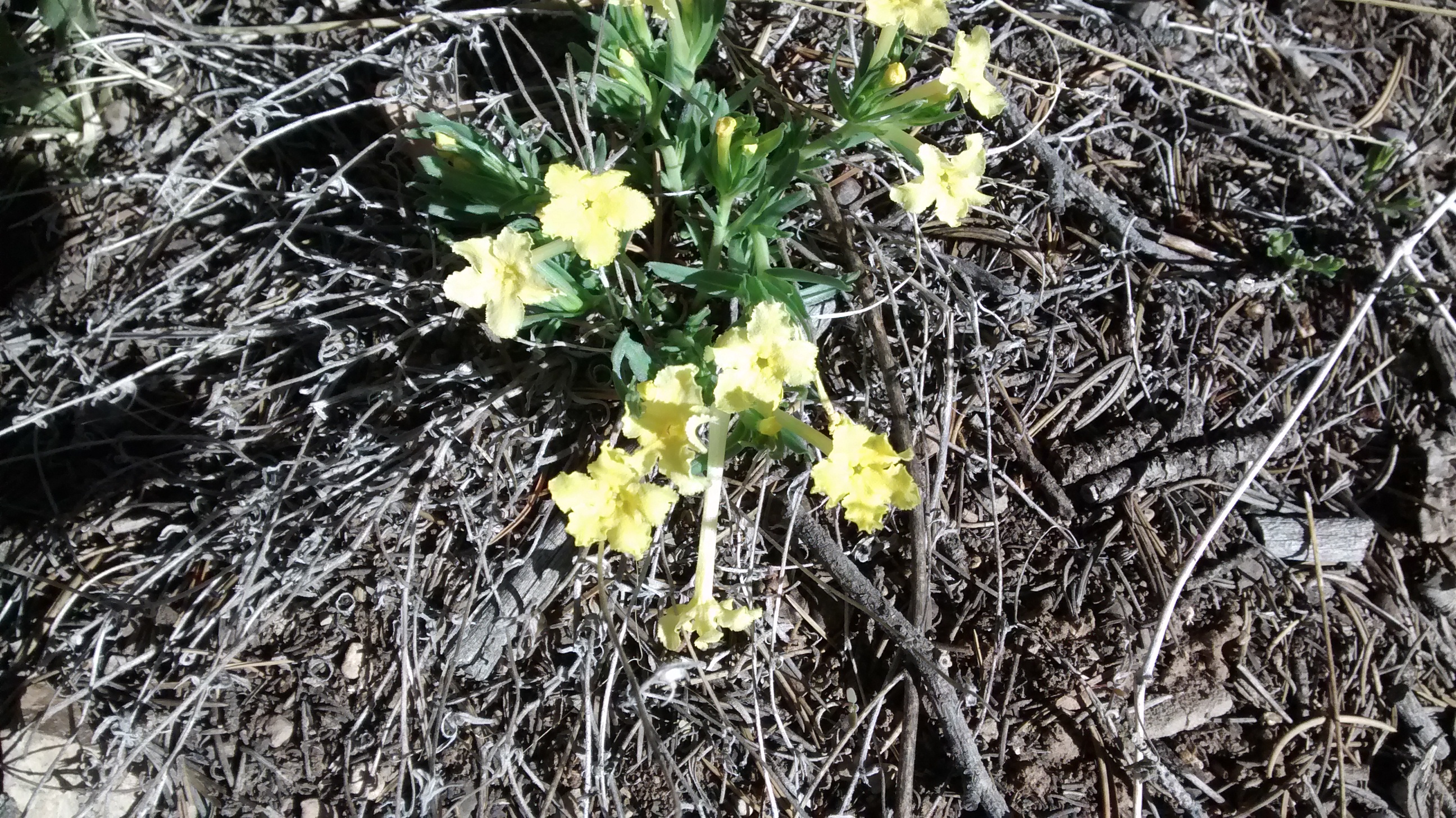
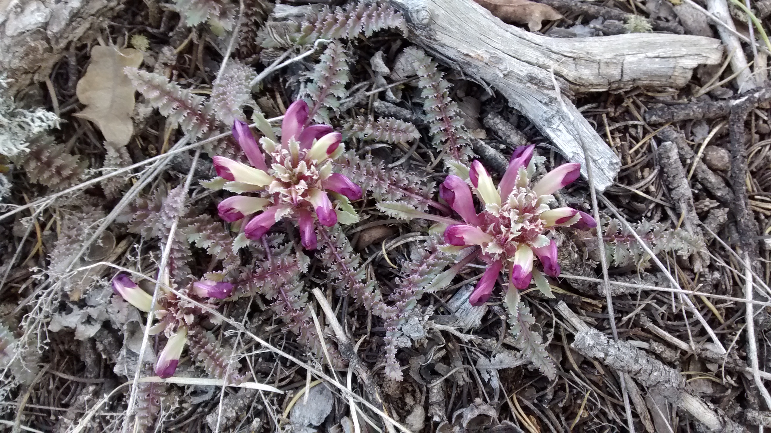
And speaking of weird names for things. We saw 3 varieties of spring flowers that I think have really odd names: Dwarf Lousewort, Cutflower Pucoon and Fendler’s Bladderpod.