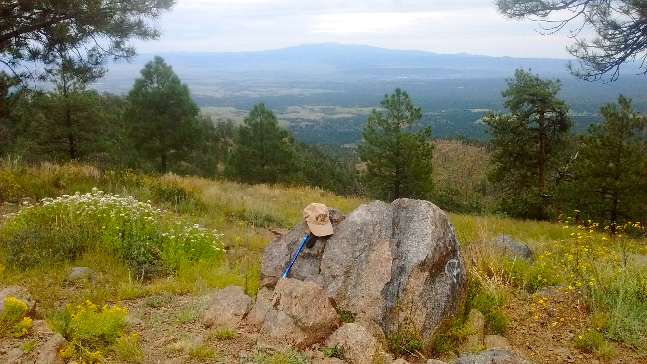
We had tentatively planned an overnight camping trip this week that would put us in the area of Wheeler Peak, the highest mountain in New Mexico. The hike to the top of Wheeler Peak is one we haven’t yet done because it’s a bit too far from Albuquerque for a one-day outing. On Tuesday, however, the weather forecast for the Wheeler Peak area was calling for rain. So we decided instead that we would head to the Zuni Mountains for our overnight camping and hiking trip. And today, instead of hiking to the top of New Mexico’s highest peak, we hiked to the top of Mt. Sedgwick, at 9256 feet, the highest peak in the Zuni Mountains.
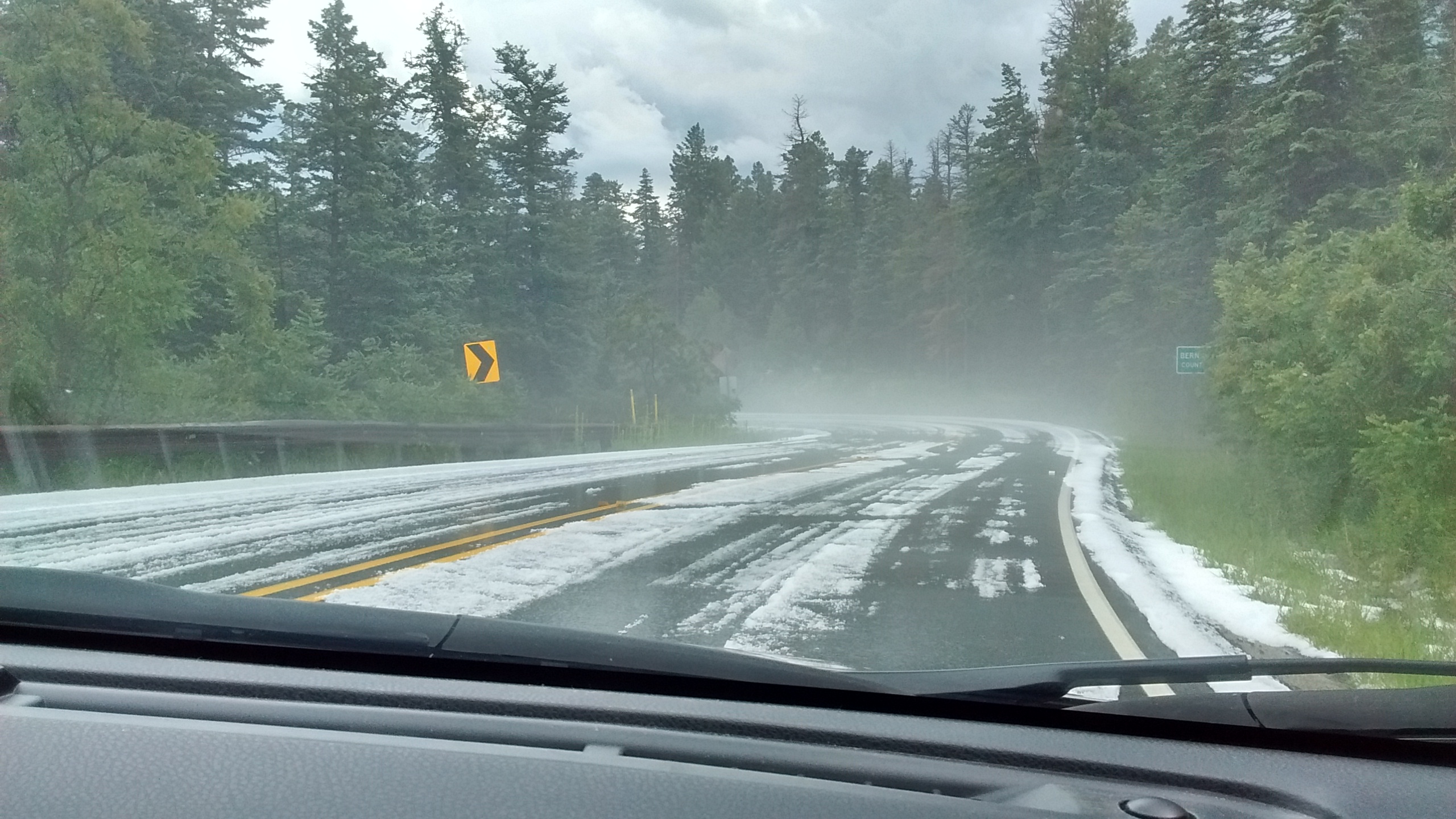
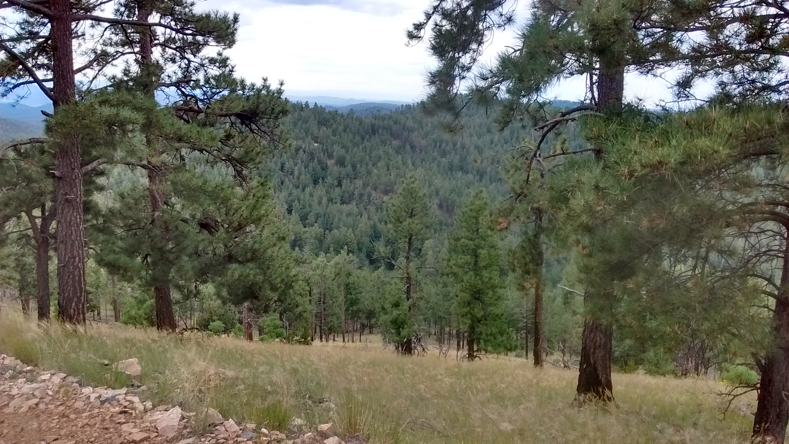
The Zuni Mountains are not as well known as other mountains in New Mexico, which is one of the reasons I enjoyed our time there. Driving in on the series of dirt roads today that took us to Mt. Sedgwick we saw one log truck coming down, but, other than that, we did not see another person the whole day until we finished our hike and were on the road back towards Grant.
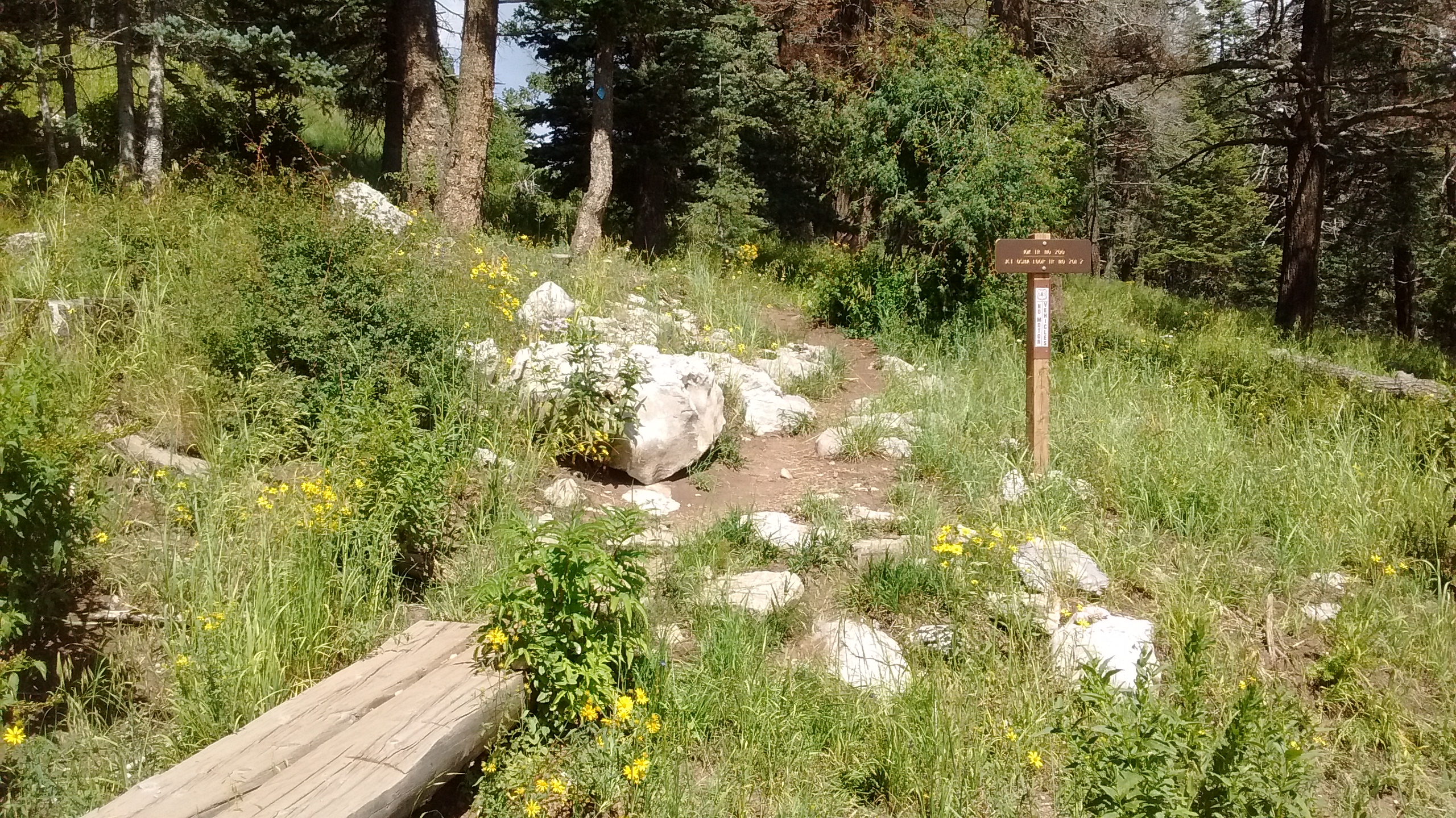
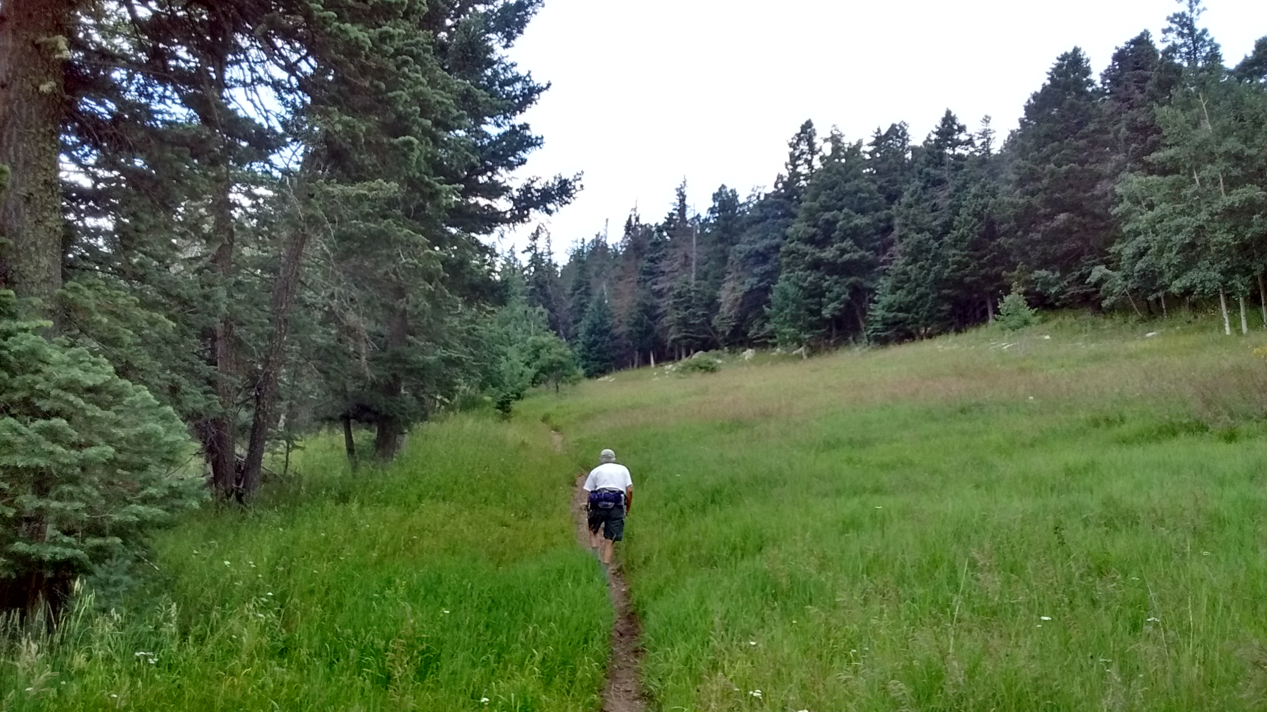
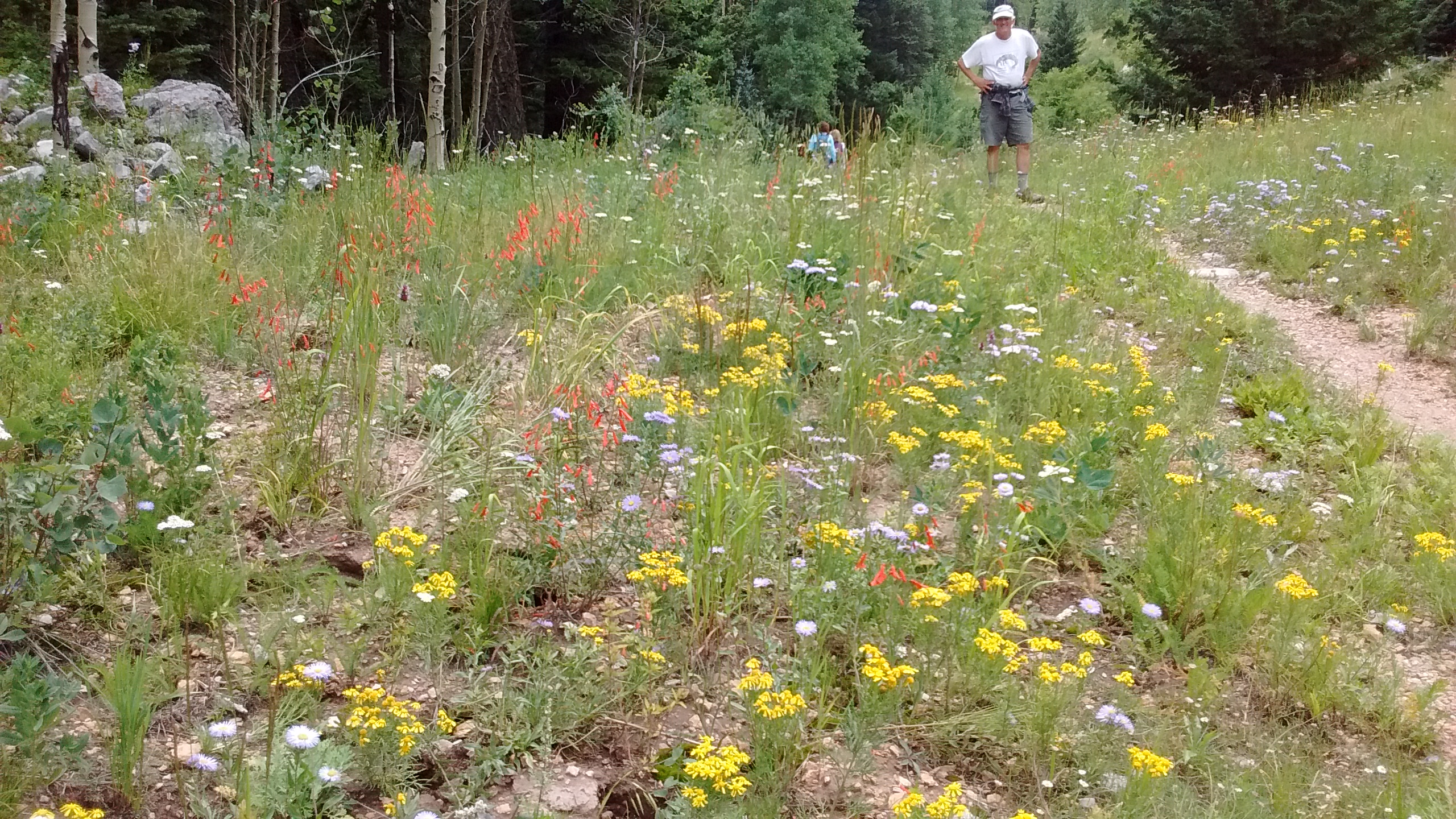
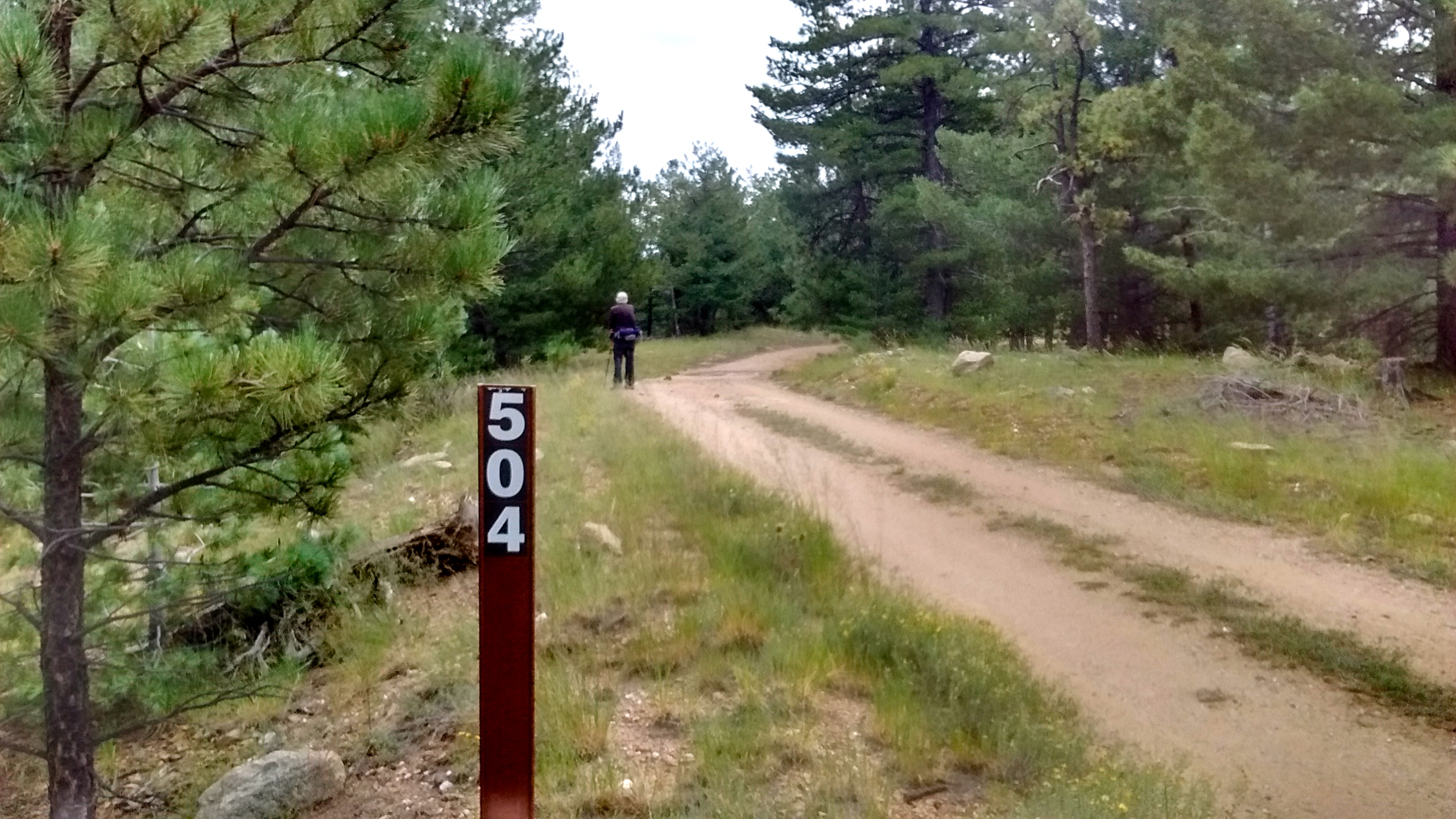
It appears that most of the people who spend time in the Zuni Mountains are not hikers, but are loggers or hunters. There is no actual trail up Mt. Sedgwick but, instead, you follow an old fire road that would be drivable with an ATV. Since there was no one else up there today it was not at all unpleasant to be hiking on a road rather than a trail.
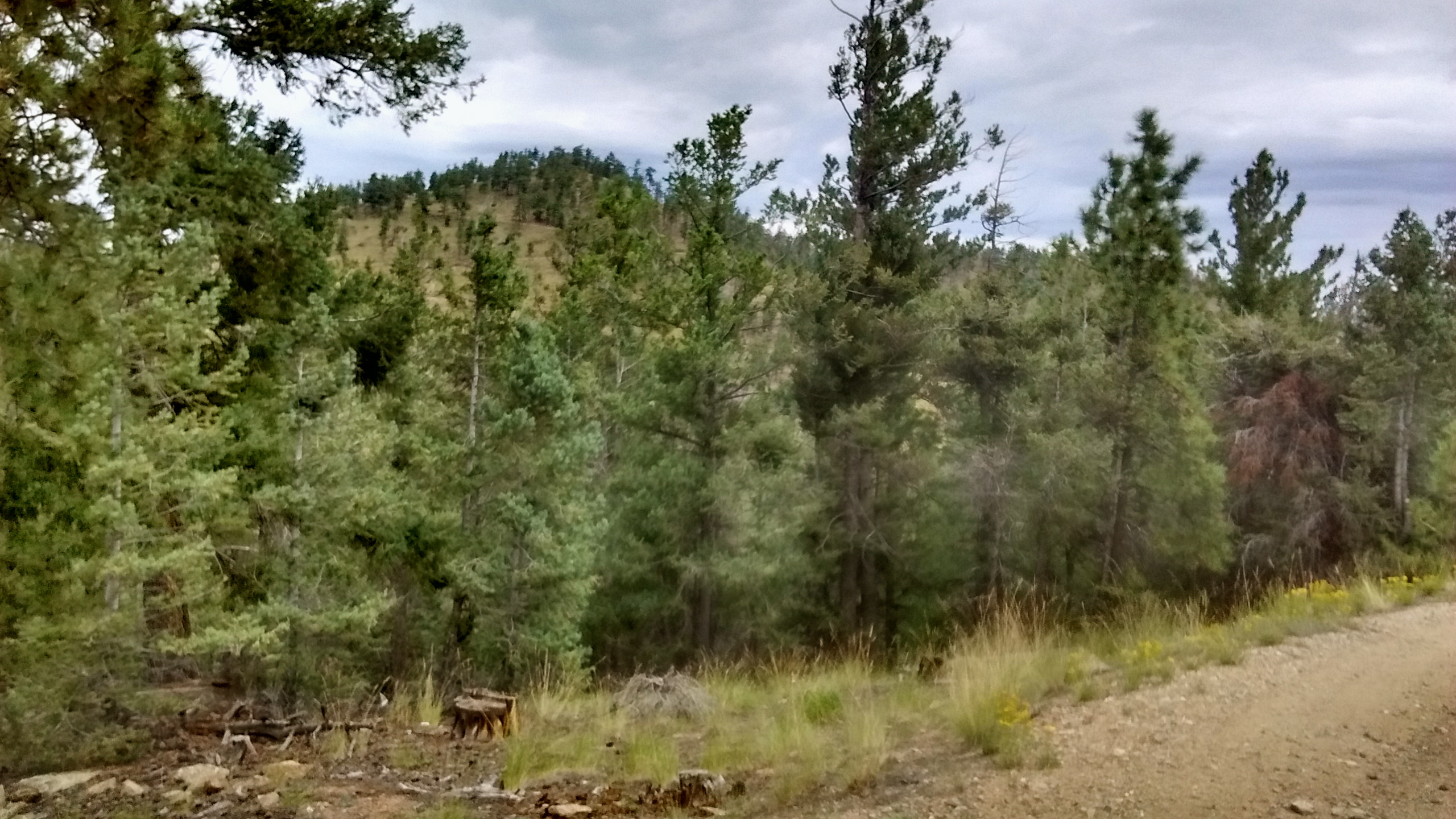
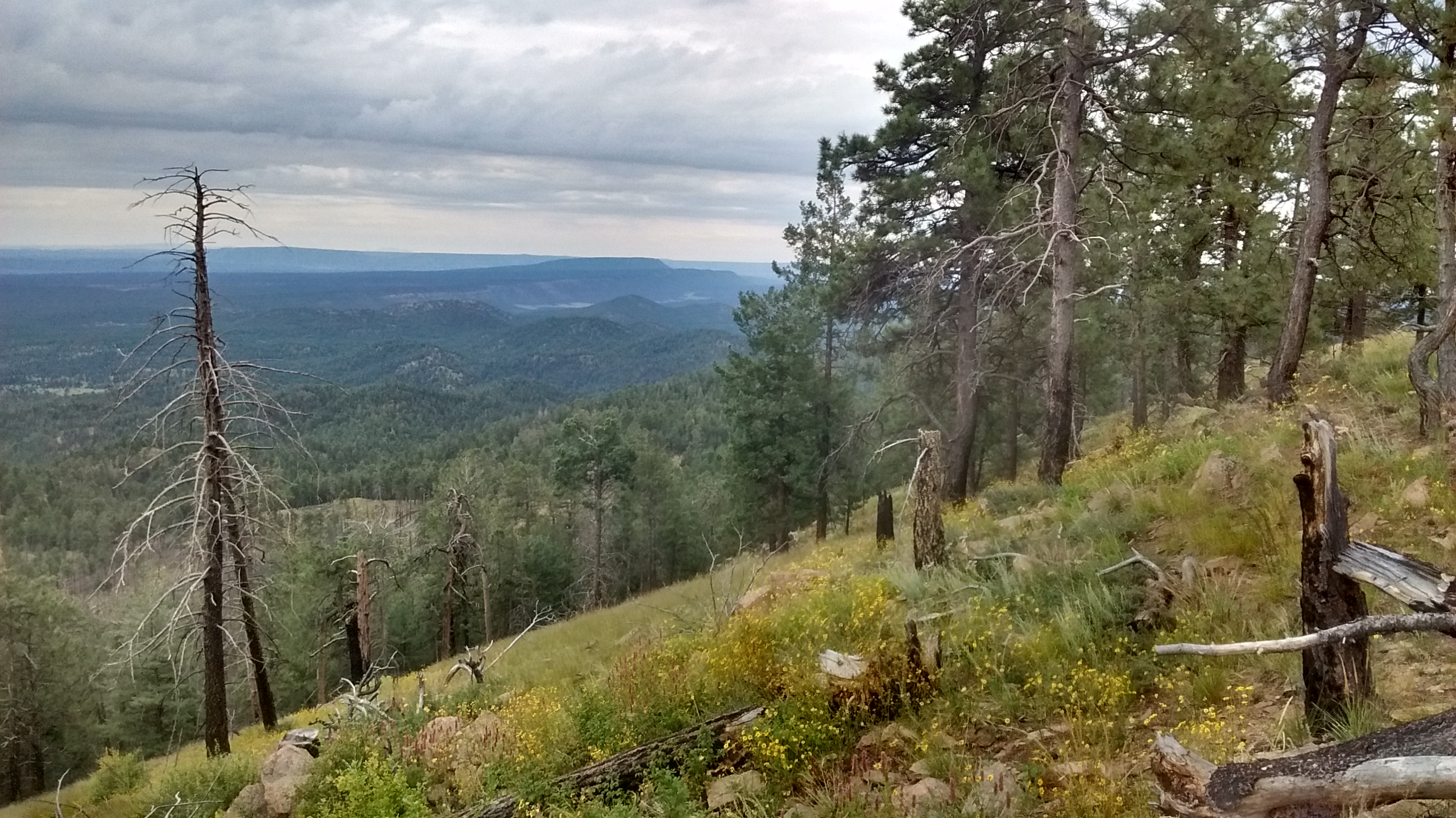
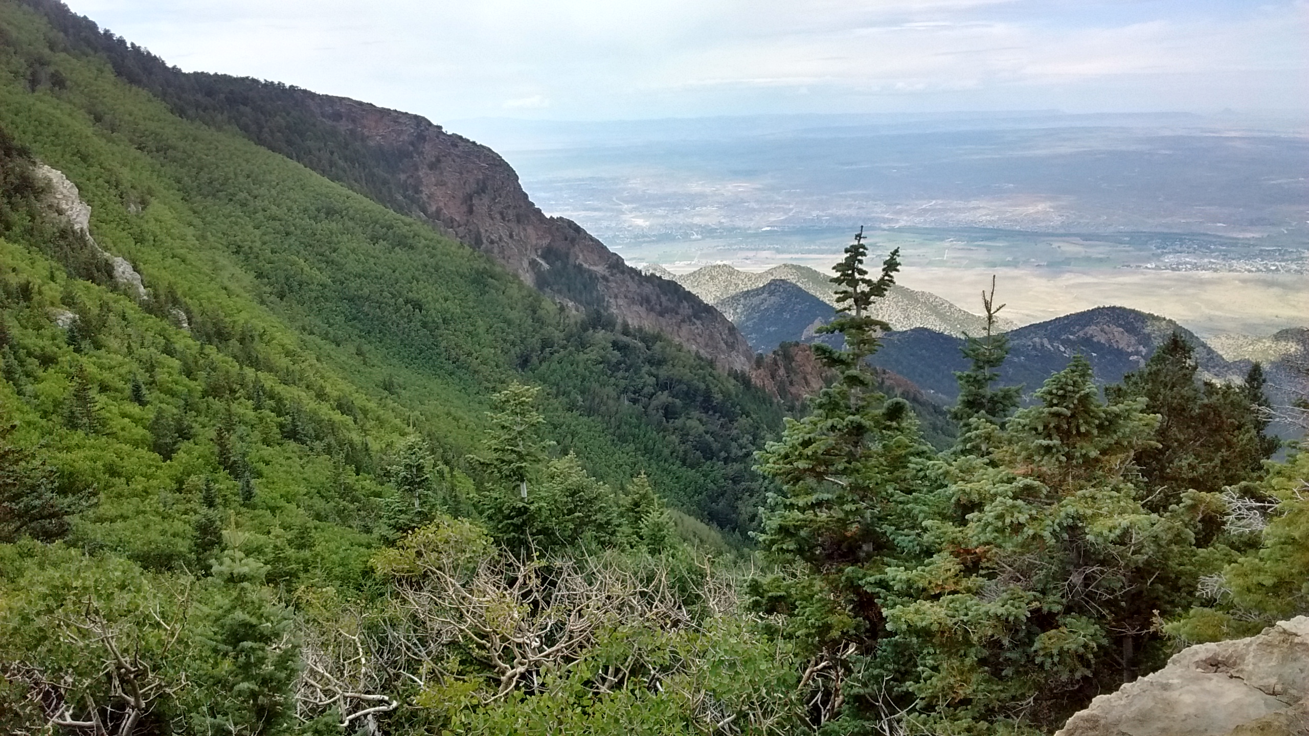
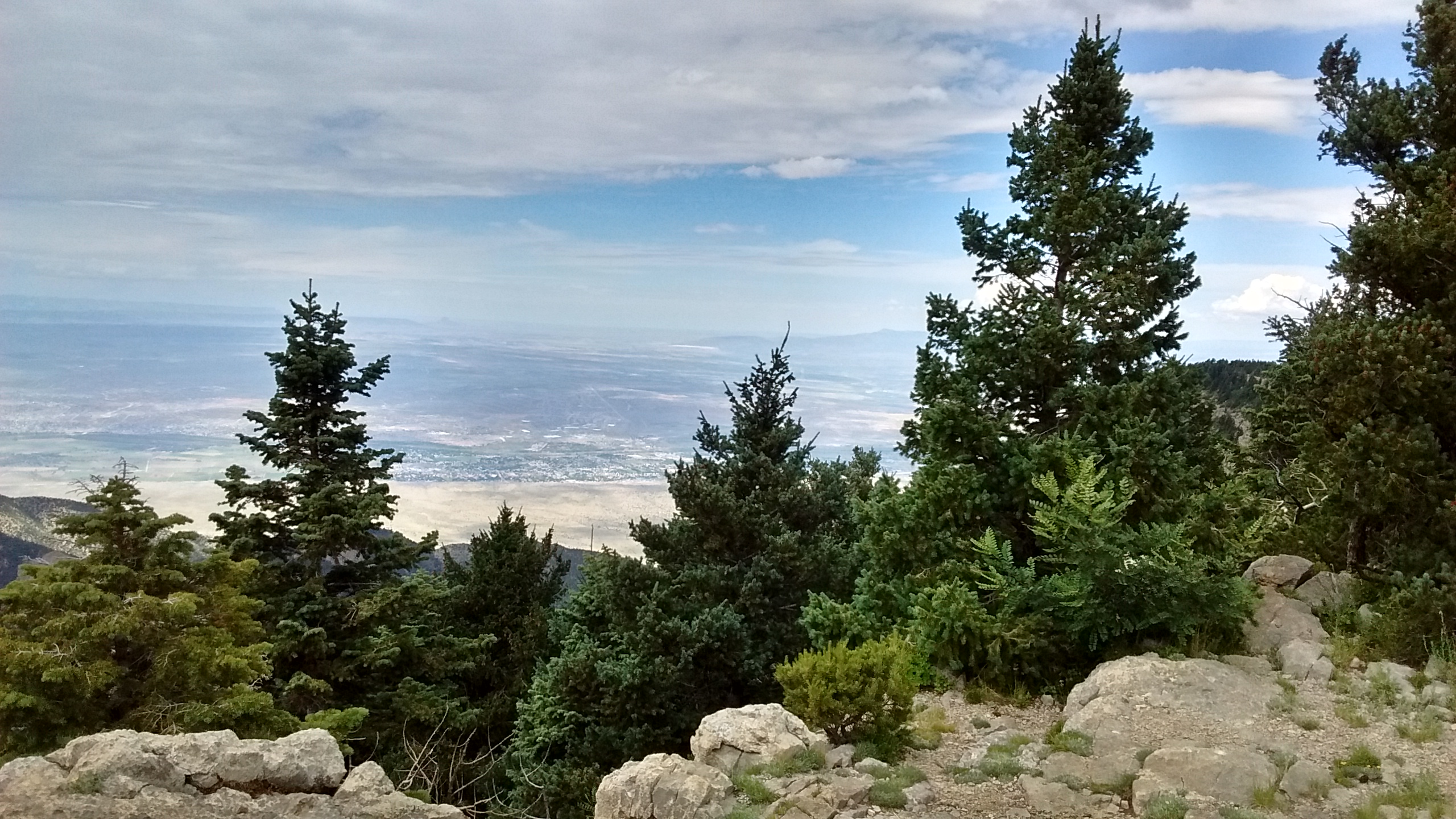
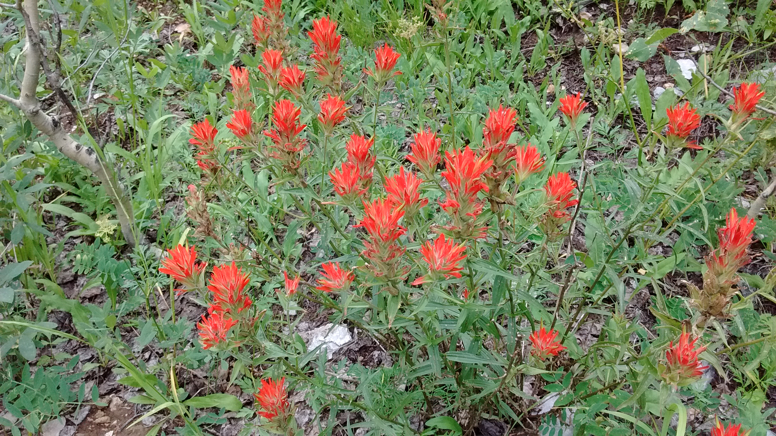
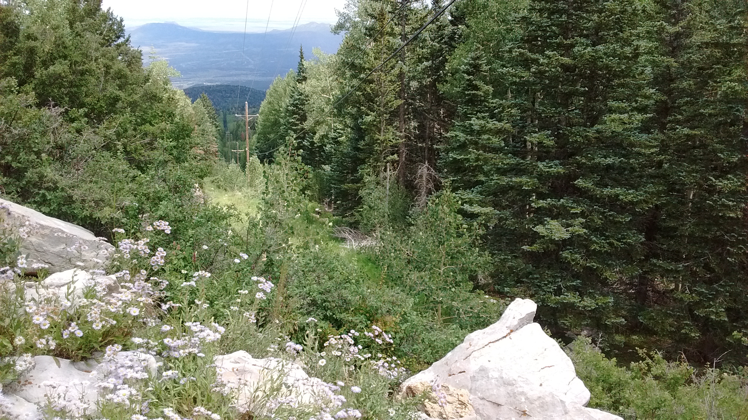
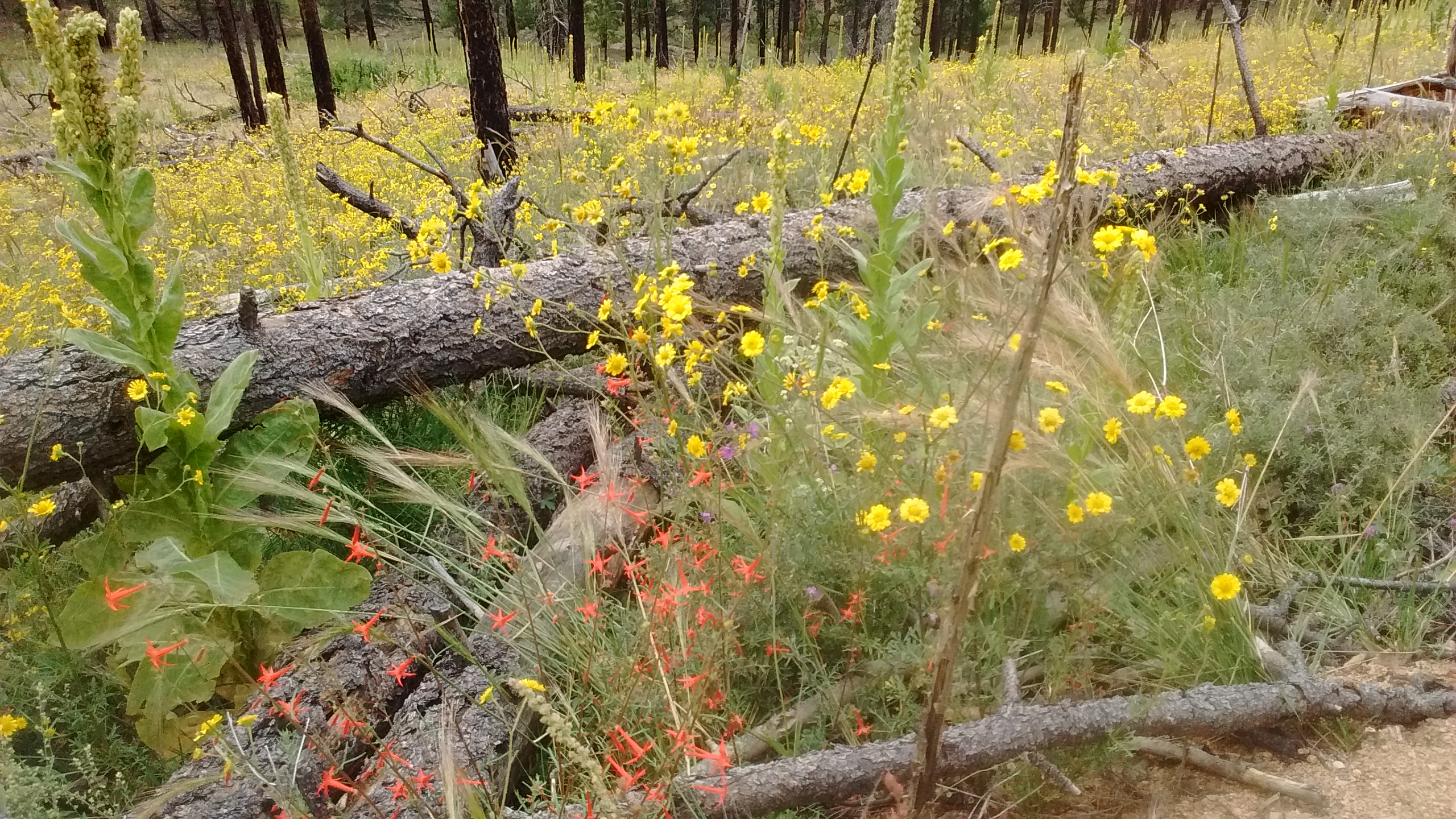
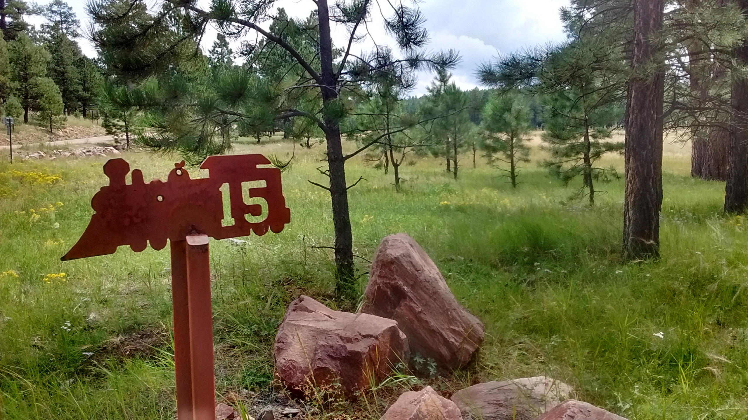
Ok, so Mt. Sedgwick is not exactly an impressive peak to climb. But even without dramatic peaks the Zuni Mountains have much to offer in the way of forested plateaus, cliffs, and canyons. The history here is interesting, as well, some of it a sad story of how the Ponderosa Pine forests were devastated by logging in the early 1900’s. The Forest Service has done a lot in recent years to make the area more attractive. A fun activity for those not inclined to hike is the Zuni Mountain Historic Auto Tour, a piece of which we stumbled upon today on one of the roads we were on.
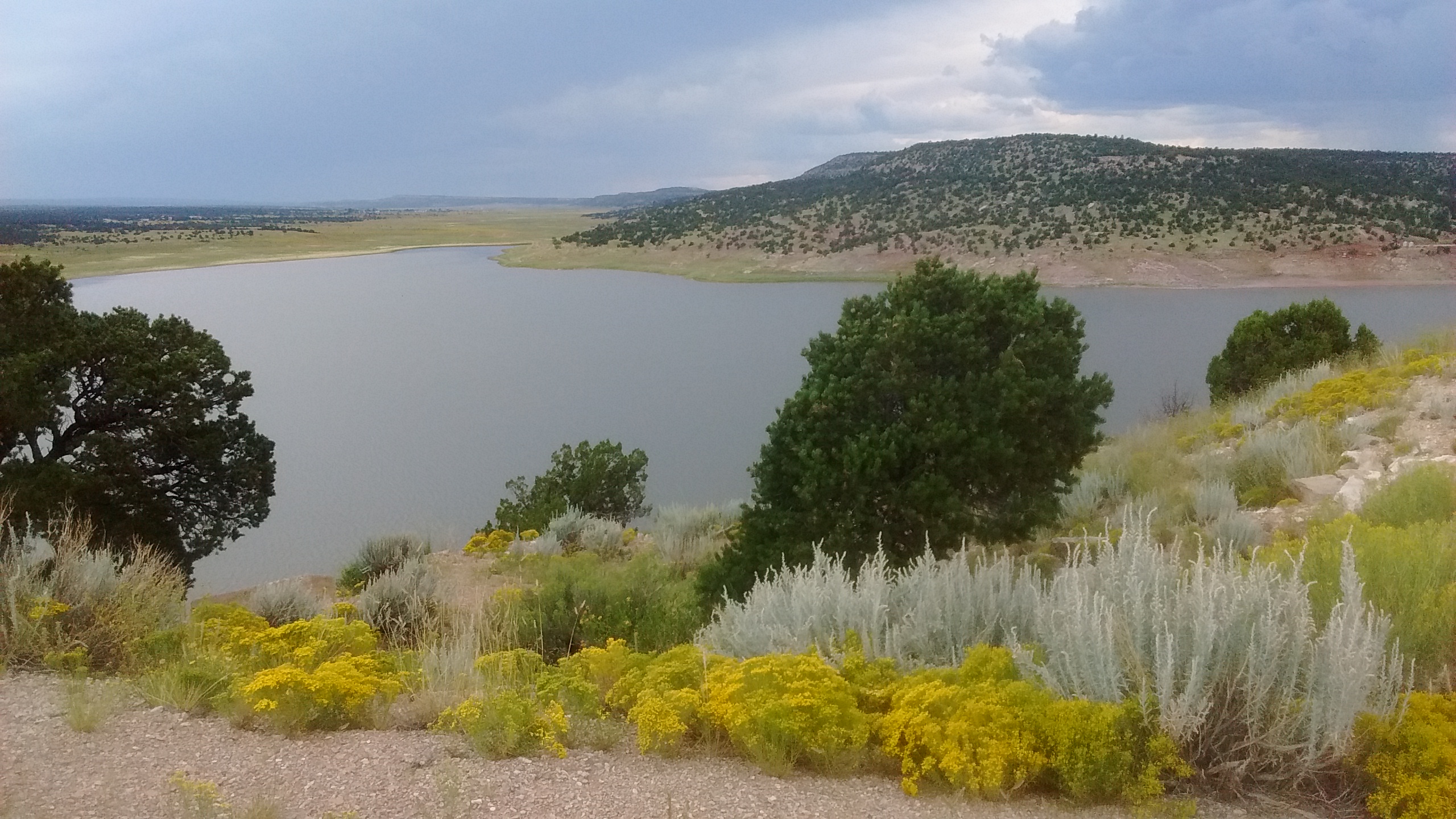
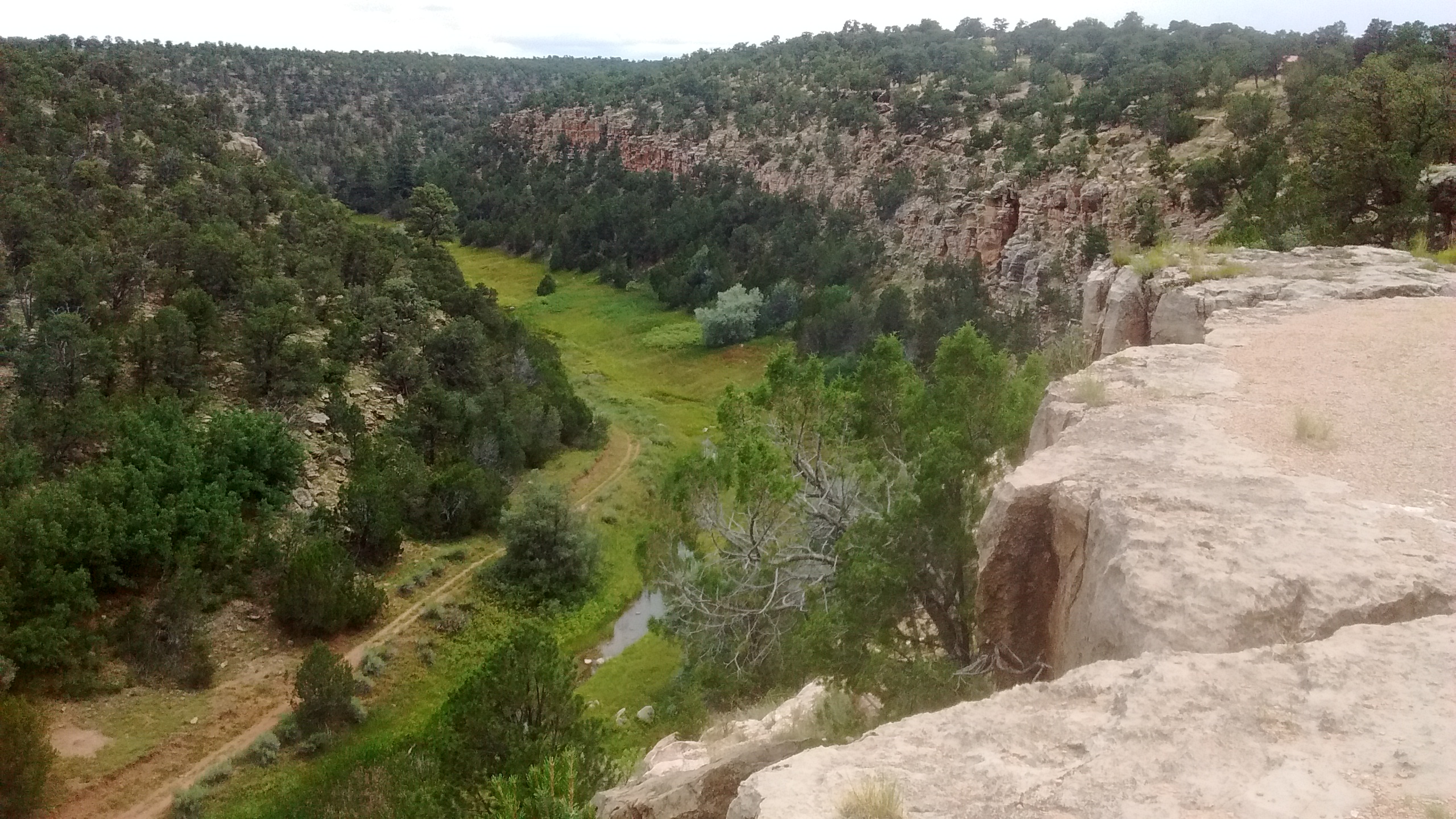
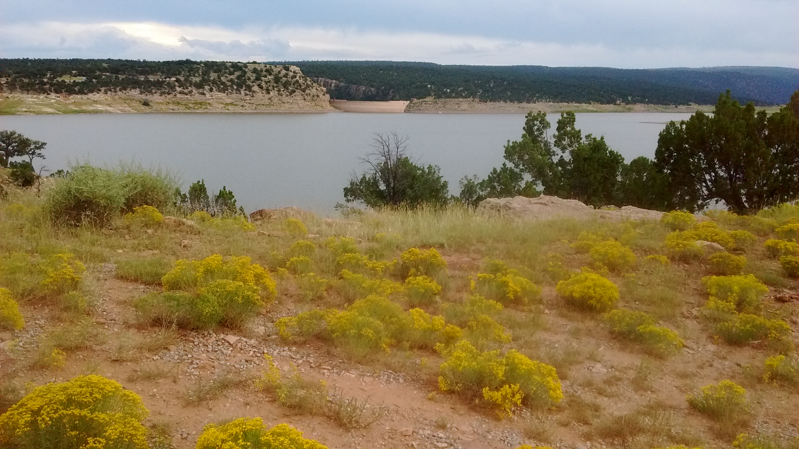
The story of our hike in the Zuni Mountains wouldn’t be complete without a couple of pictures from the place that we camped the night before. Originally, we had intended to camp in one of the National Forest campgrounds, but only one of them had water, and it was a much longer drive from there back to Mt. Sedgwick. Instead, we camped at Bluewater Lake State Park. This brought back memories of the one other time, 3 years ago, when we camped at Bluewater in March and spent a miserable night in freezing temperatures. It was a much milder night there last night. We enjoyed a walk along the edge of Bluewater Canyon before dinnertime and then a walk to the other side of the lake later that evening.

It was truly an enjoyable outing and exploration of the Zuni Mountains, with much more to see at a future time. And, of course, climbing the highest peak in the Zunis, doesn’t let us off the hook for climbing the highest peak in New Mexico, another activity for the future.