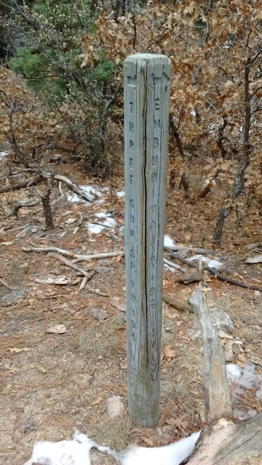
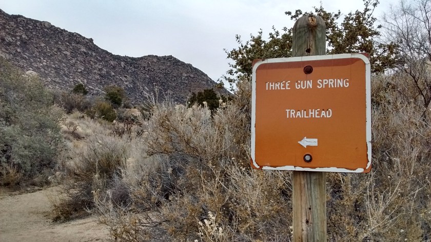
It started with a plan to drive in 3 separate cars and meet at the Embudito trailhead. Then the 5 of us would pile into one car for the 20-mile drive around the mountain to the Three Gun Spring trailhead. The hike would end at Embudito and somebody would have to drive back to Three Gun Spring to get the other car. Then Lee came up with a better idea.
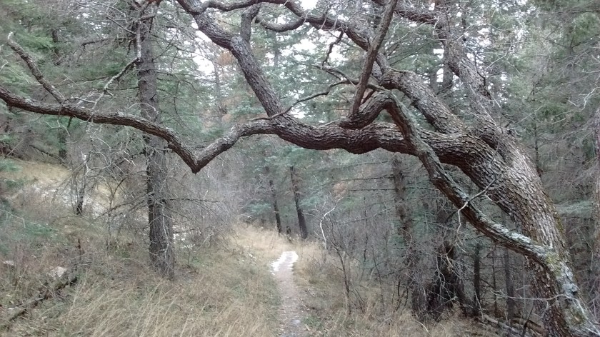
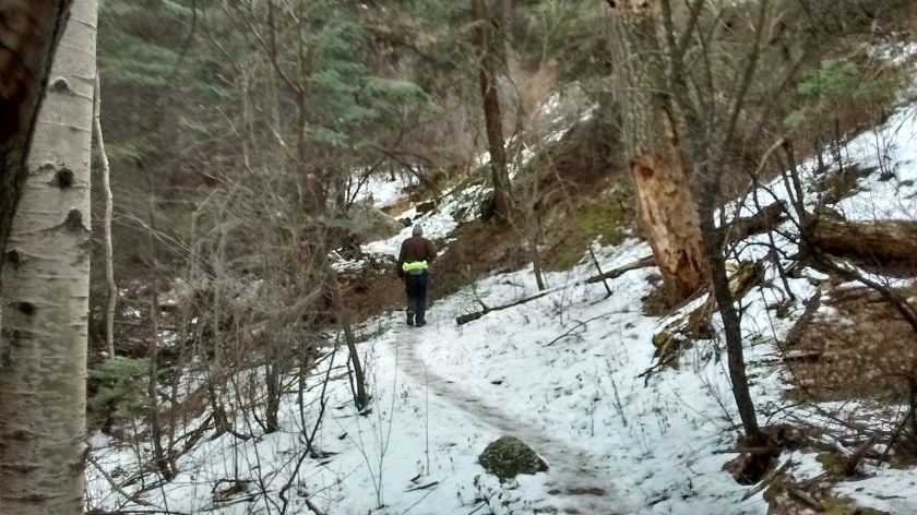
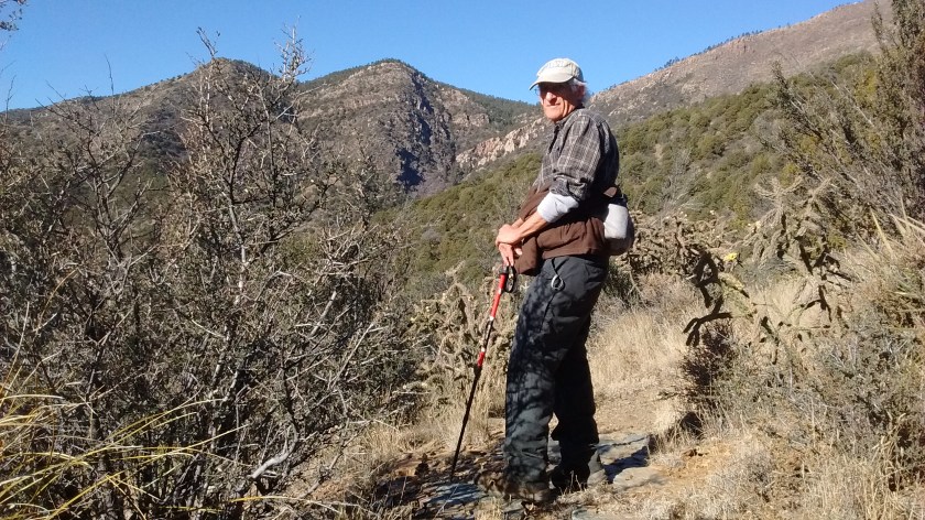
We met at Embudito but then Ken, Sue and Russ took our car and drove to Three Gun Spring. Meanwhile, Lee and I started hiking up the Embudito Trail. After a couple of hours on the trail we encountered our 3 friends as they were making their way up the mountain from the other side. We had lunch together, they handed us our car keys and the 2 groups parted ways to finish going back down the way the other group had come up.
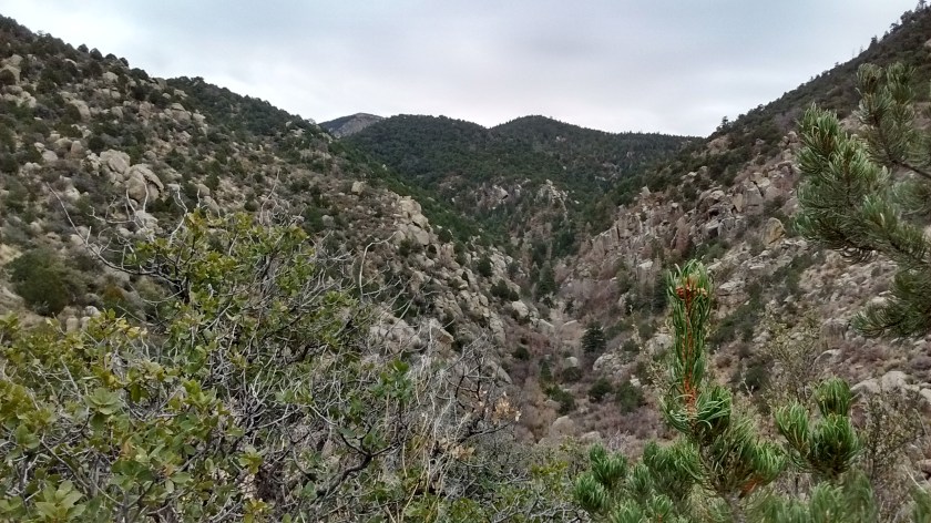
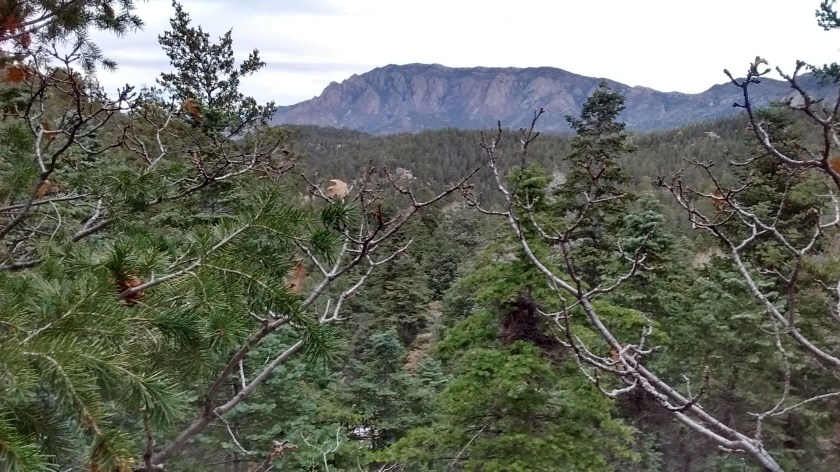
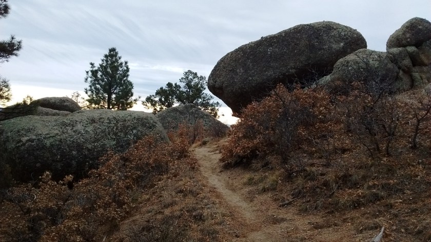
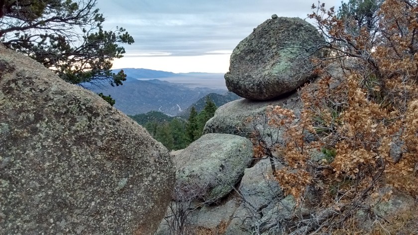
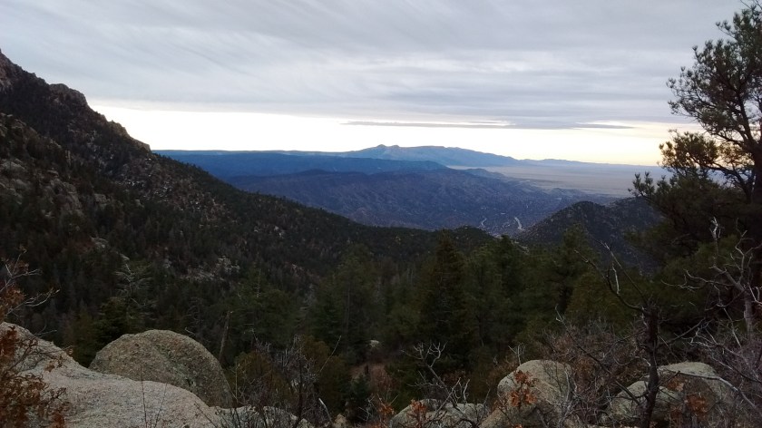
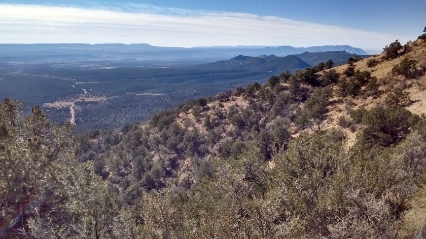
After 8 miles of hiking it was good to find our car waiting for us, knowing we could just head home and nobody had to spend time doing a car shuttle. Embudito Trail and Three Gun Spring Trail are hikes that we have done before, but we’ve never had the opportunity to put them together in one nice day hike. We’ve done them separately and then it would be an up and back down hike because it would be too far to hike around the mountain to connect up with the car at the starting point.
No cats were harmed in the making of this enjoyable hike.
Interactive map of today’s hike.