Lee’s Ridge

If it’s my turn to propose a hike for the day, I most likely will suggest an established trail that’s a good workout. I won’t be too concerned if it’s a hike we’ve done before. Lee, on the other hand, is always looking to explore new territory. And chances are we won’t even be on a trail.

I can work up lots of energy when I know what to expect for elevation and distance. But when I’m tagging along behind Lee as he follows his desire to see what’s around the next corner or over the next hill, I feel totally exhausted after just a short distance. Usually, though, by the time we finally get back to the car I will end up agreeing that it was a fun hike.

Today he wanted to show me a “bushwhack” hike that he had explored on his own last spring. Twice this summer we had tried to do it but were stopped by a road closure sign on the Forest Service road leading up the canyon where we needed to go. On the first attempt we wandered around on some abandoned dirt roads near there as a substitute hike. A month later we assumed the road would be open. When we found it still closed we drove to nearby San Pedro Parks and did a regular (my style) hike.

I wasn’t too happy when Lee proposed trying his bushwhack hike a third time. Especially when he said that if the road was still closed we would explore somewhere else in the area. But the weather was absolutely perfect today and if we were going to be outdoors then that was all I really needed to enjoy the day.

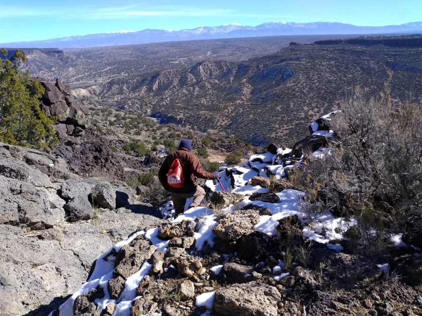
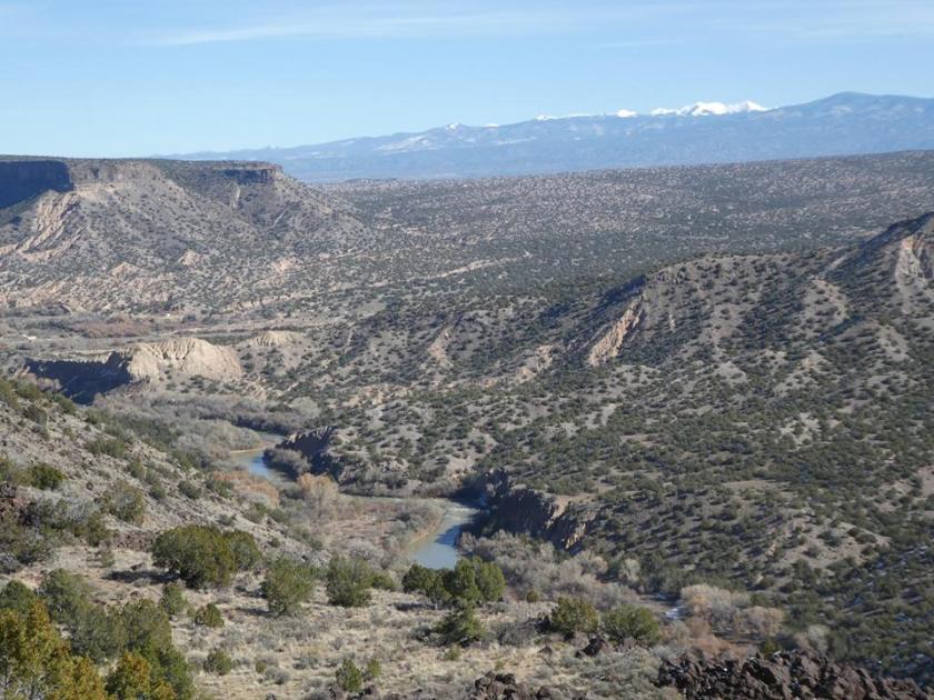
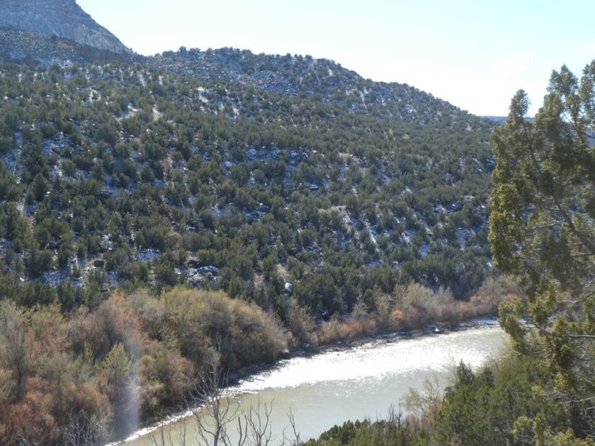
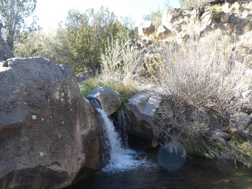
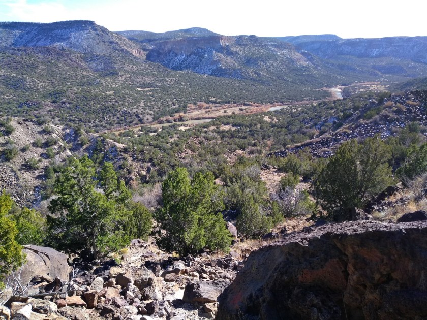
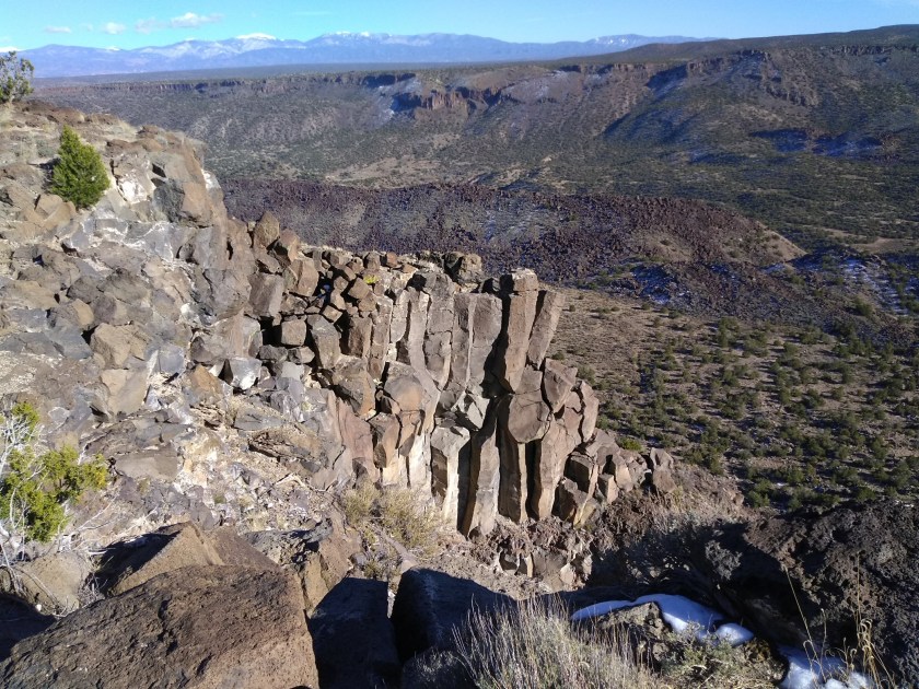
The road was open but we were surprised to find it snow-covered on the first stretch that was on the shady side of the canyon. The snow was long gone everywhere else, though, so it didn’t present a problem. After we parked the car Lee pointed to a ridge up towards the mountains and said that was the goal for the hike. Since there are no signs in the area and some of the roads aren’t even on maps, I’ve decided that this hike will now be called Lee’s Ridge. We made it to the top and back down and still had time to walk up another road that Lee wanted to check out.

ridge
The curved reddish-orange formation with the beige line on top is Lee’s Ridge, goal for the hike today.
snow
A short stretch in the beginning that followed a small drainage.
sedona
This area reminded us of the red sandstone formations around Sedona, Arizona.

blur

3 mounds

twist

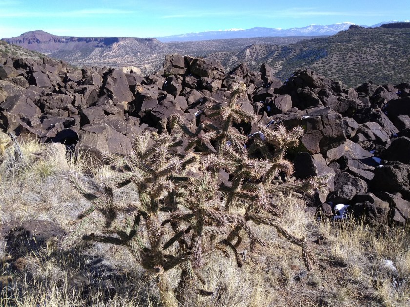
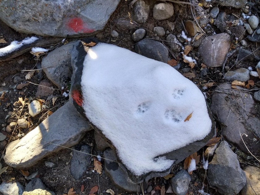
I think I have solved one of my issues when it comes to “bushwhack” hikes. The shoes that I hike in are not high tops and I can’t find hiking pants with legs long enough to cover the tops of my shoes. As we walk through brush and brambles my socks get filled with stickers and it totally annoys me to have things poking and itching in my shoes as I hike. This time of year when everything is dried up is especially bad. So today before we left on the hike I asked Lee if he could find his old pair of gaiters that we had stashed away somewhere. It wasn’t that easy to figure out how to get them attached to my shoes and pant legs, but I think we got it figured out. I didn’t get any stickers in my socks today. The pair of gaiters is now in my backpack ready for our next bushwhack hike.
gaiters

This Weeks’ Hike

Our hike this week was one that we have done twice before. For some reason, we call it the “Red Dot Blue Dot” hike when the way that we’ve done it all three times is by starting at the Blue Dot trailhead, connecting to the River Trail, then the Red Dot trail, and finishing on the Canyon Rim trail. At least finishing on the Canyon Rim trail is the goal, but we didn’t manage that goal the first two times on the hike.

The hike leads down to the Rio Grande River at White Rock, NM, where the river cuts through a canyon lined by steep lava escarpments. A series of blue dots are painted on the black lava rocks to mark the trail as it descends into the canyon. At the bottom it connects to the River Trail and about 2 miles further along the River Trail it connects to the Red Dot Trail. This one climbs back out of the canyon over the lava escarpments and is marked with red dots painted on the rocks.

At the top of the canyon the trailhead for the Red Dot trail is on a side street in a subdivision of White Rock. It doesn’t directly connect to the Canyon Rim trail. Walking on the street is required and if you aren’t careful you miss the spot along the ditch where you get off the street and follow a path that leads to the Canyon Rim trail. There are many local neighborhood paths between the houses and it’s easy to miss the official trail. The first time we tried we added some extra walking trying to find the beginning, as well as at the end when we left the Canyon Rim trail too soon and went out of our way to get back to the car. The second time was a really long hike because we took a wrong turn almost as soon as we got on the Canyon Rim trail and then ended up walking back to the car through the town itself. The third time is a charm, though, and now we’ve finally figured out that tricky part at the end.

Below is a map that shows our 3 times on this hike. The purple line is the preferred way that we successfully accomplished on our third try. The blue overlaps the purple on the trip down to the river and back up but then shows how we had to walk through the subdivision. And the red line overlaps the purple except for a couple of extra side trips.

Start Blue Dot.
Beginning descent on Blue Dot trail.
From Blue Dot
From Blue Dot trail, view east to mountains above Santa Fe, Rio Grande flowing south (from left to right)
Blue dot
Blue dot trail marker.
lava
Lava tumbled down from the ridge at White Rock; old cinder cone on Buckman Mesa in the background (another hike in the area)
Rio Grande
Rio Grande
waterfall
Trail-side waterfall on a spring- and snow-fed stream
mask
Animal prints made this patch of snow look like a mask!
downriver
View downriver from Red Dot Trail.
Canyon Rim.
View from Canyon Rim trail.

And now for old time’s sake I’m including a link here to the page describing
the first time we did this hike.