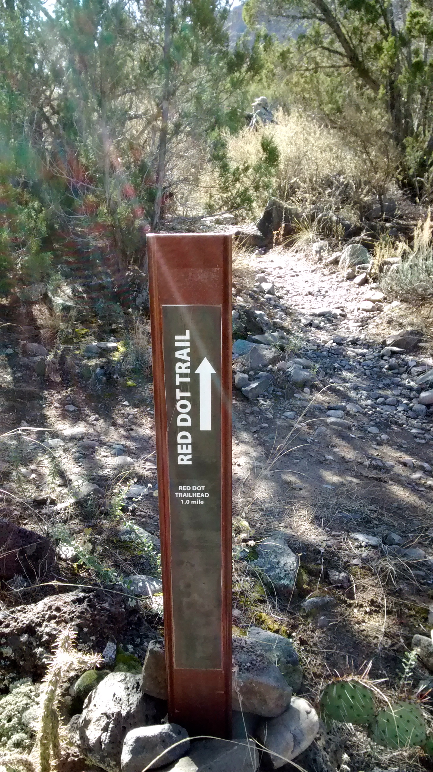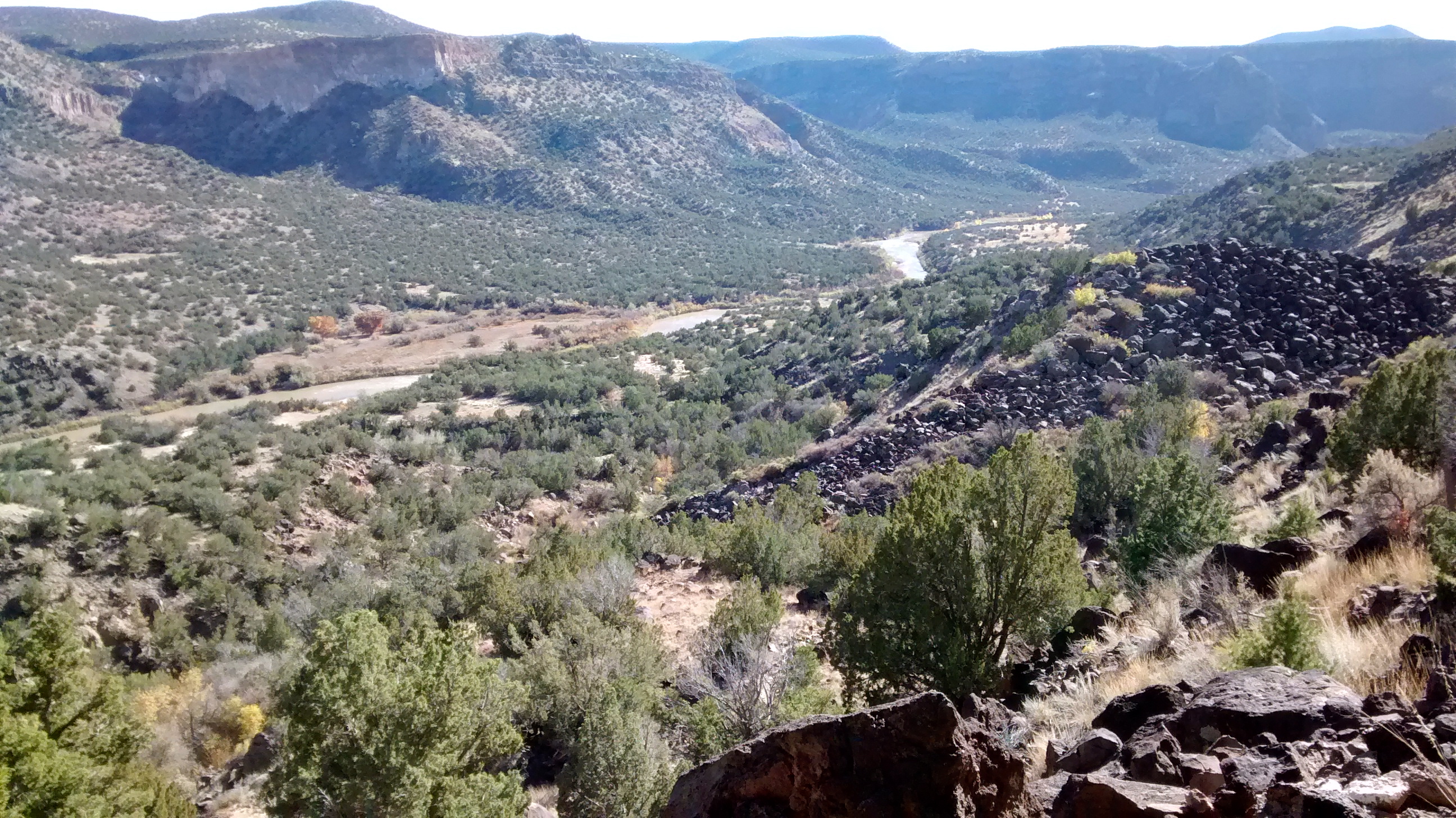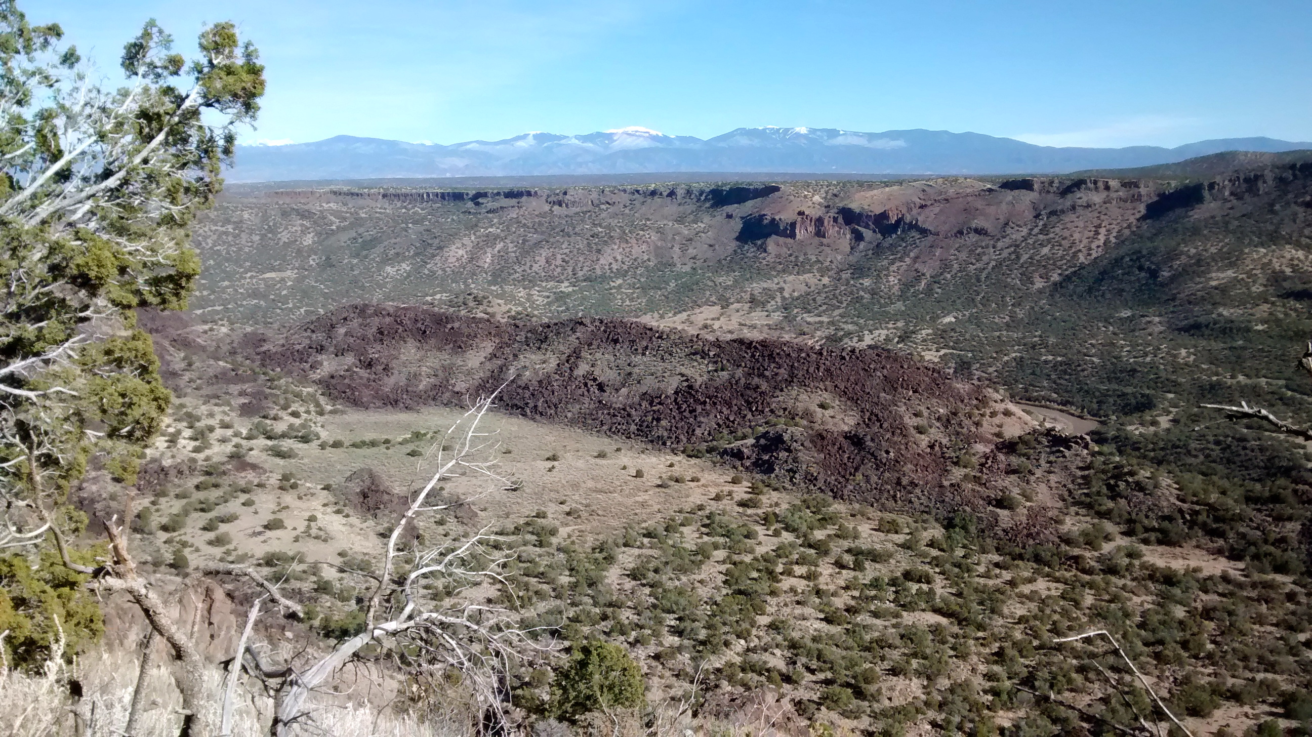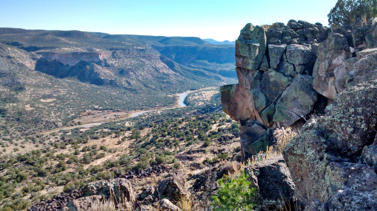
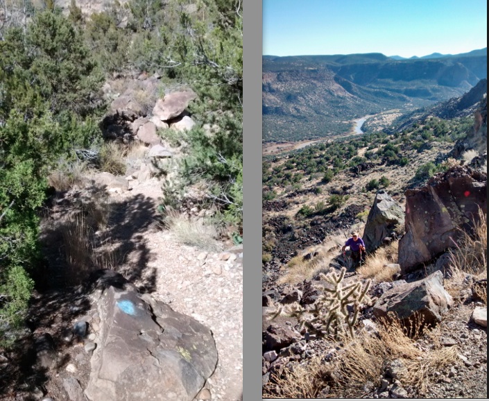
About an hour-and-a-half drive north of Albuquerque, the small town of White Rock, NM, perches on the edge of a gorge overlooking the Rio Grande River at White Rock Canyon. A public access viewpoint at the edge of town is a spot that Lee and I visited a couple of months ago. As we gazed down at the river far below us, I knew that this was a place I wanted to come back to when we had more time and could hike the trail that leads down into the canyon. Actually, there are 2 trails, one marked with painted blue dots on the rocks along the trail and one painted with red dots. Combining these two trails with a connecting trail at the bottom and another trail at the top along the canyon rim makes a nice 7.5-mile loop trail. Today was the day that we got to connect the red and blue dots and check this trail off our bucket list.
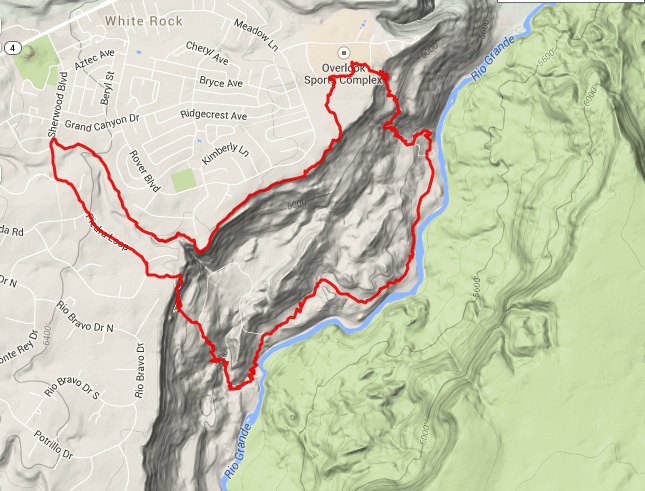
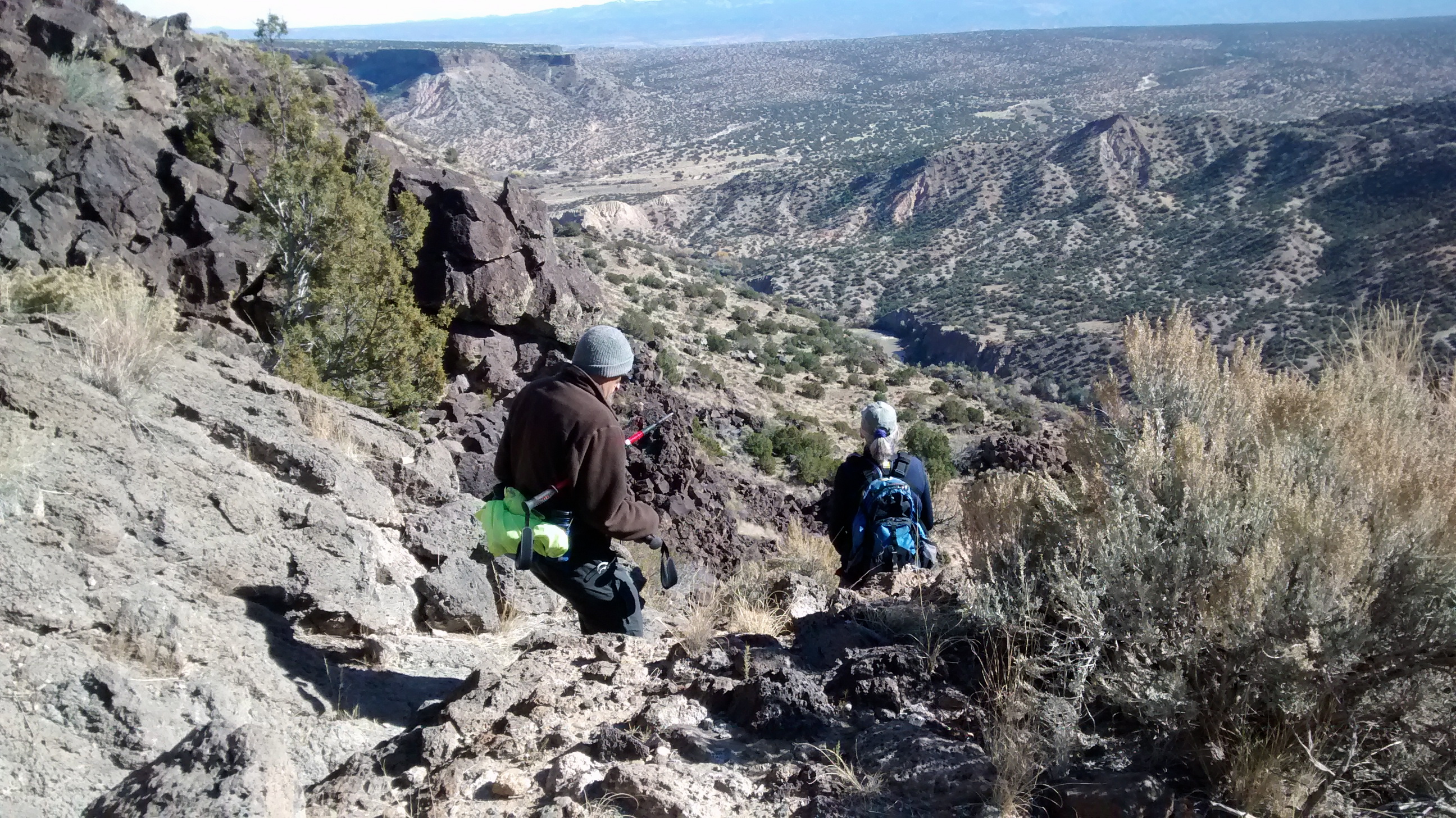
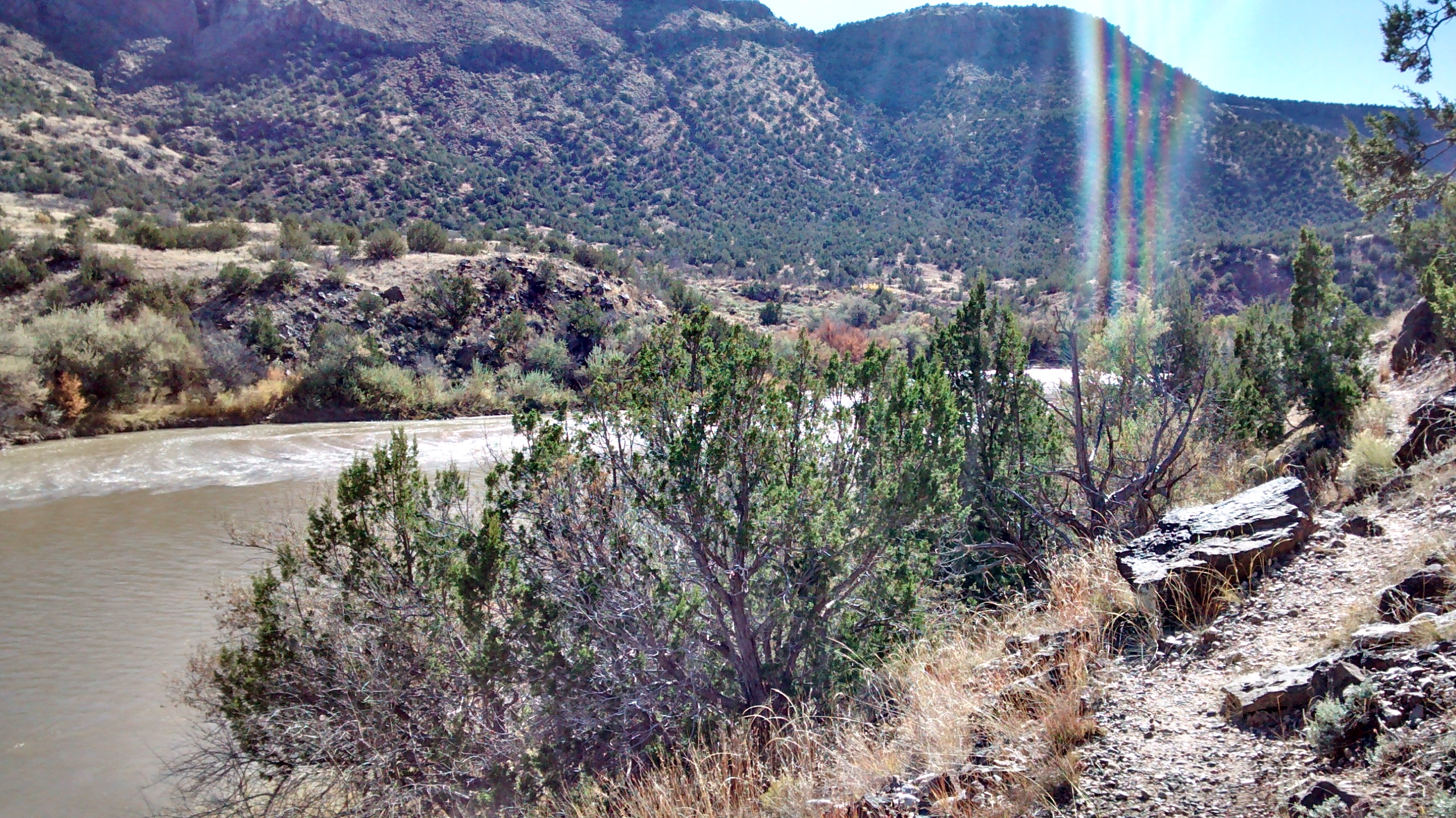
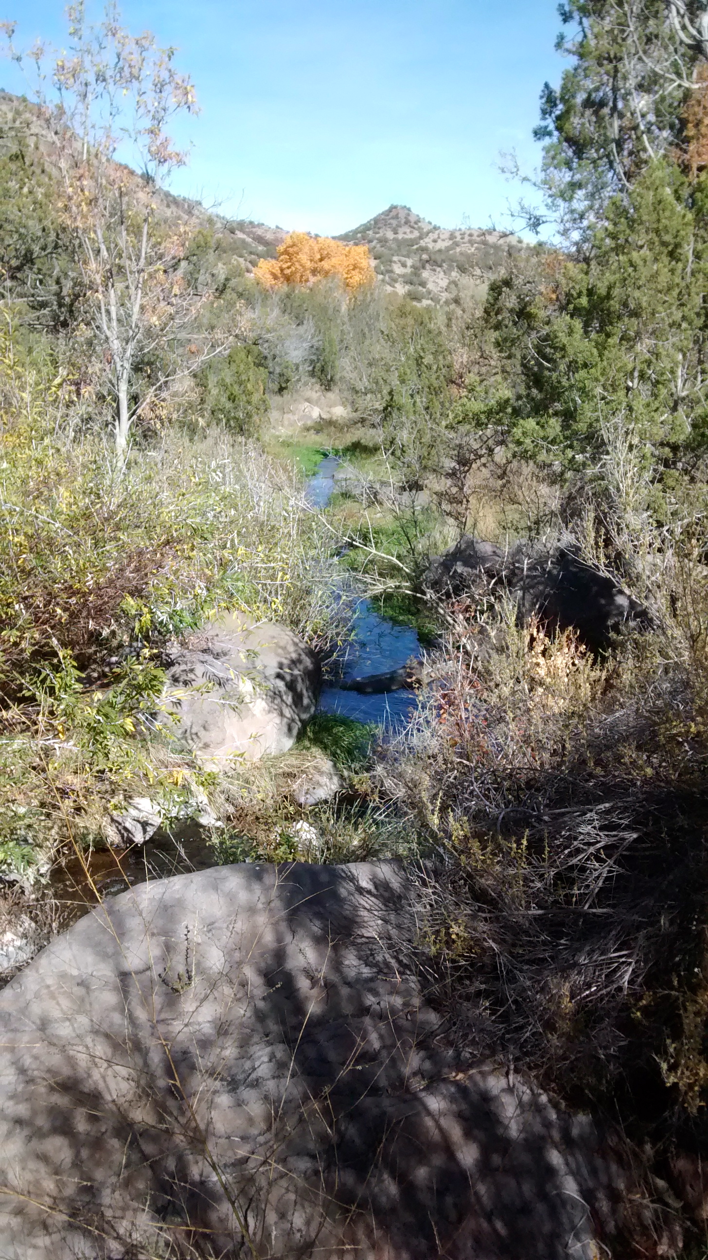
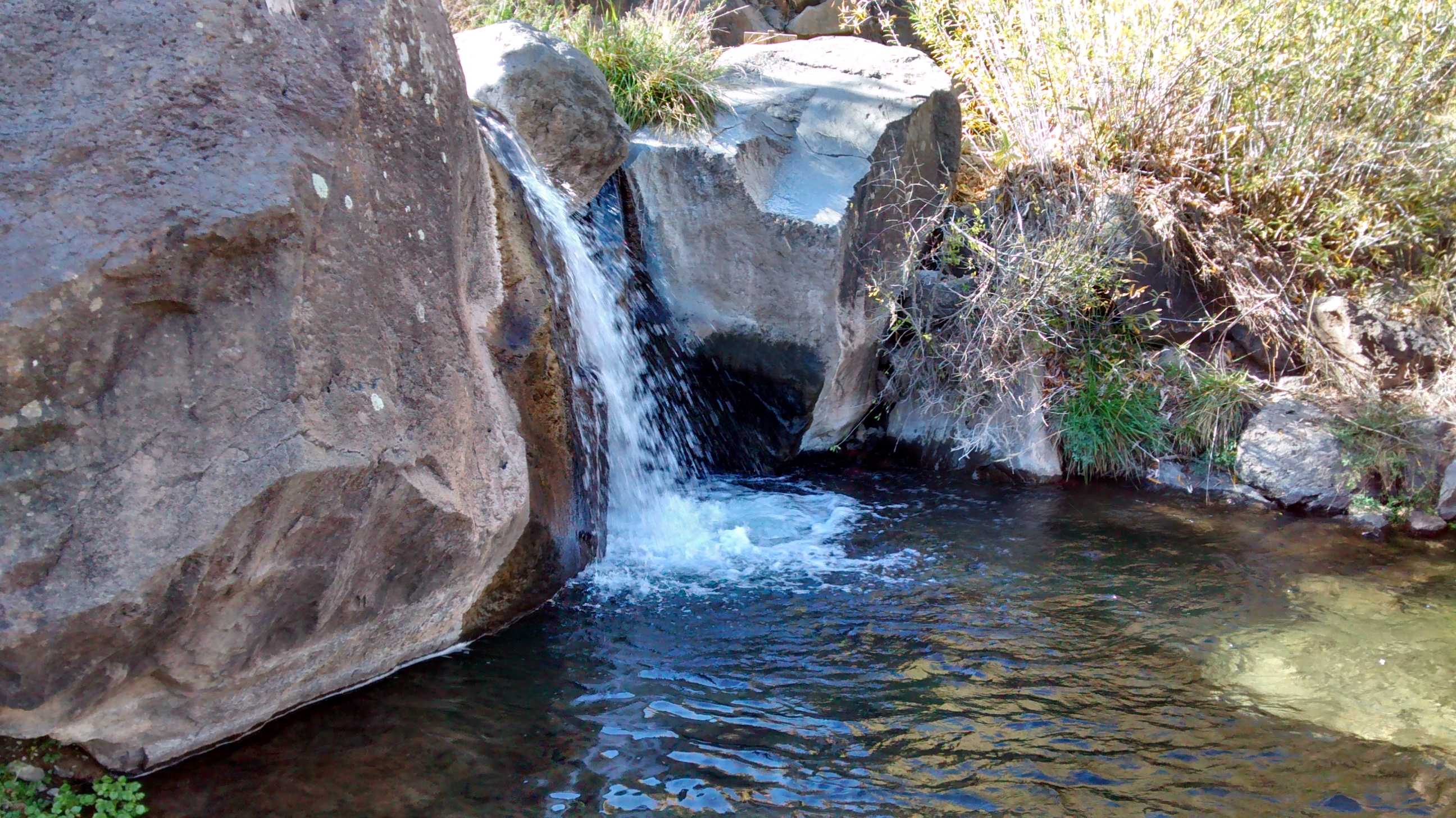
Our starting point was the Blue Dot trailhead, which drops steeply down for about a mile to meet the River Trail, about 1000 feet of elevation drop. Following that trail for about two miles led us to our lunch spot at the refreshing outflow of Pajarito Springs, also the point where the Red Dot trail starts back up to the canyon rim. We definitely needed the fuel provided from lunch to make that 1-mile ascent back up to regain the 1000 feet of elevation.
The only part of this hike that is somewhat undesirable is the 1/2-mile stretch at the top where you have to walk along a trail in a subdivision to get back to the public land along the rim for the 2 miles back to the Blue Dot trailhead. The top of the loop on our map that shows us going through the Overlook Sports Complex was a mistake on our part. We took a wrong turn when we were almost back to the car and instead of completing our hike along the rim we ended up having to go through a couple of fences and then through the middle of a dog park. The dogs were friendly, though, so all’s well that ends well with a great day for a dotty hike by us dotty old folks.