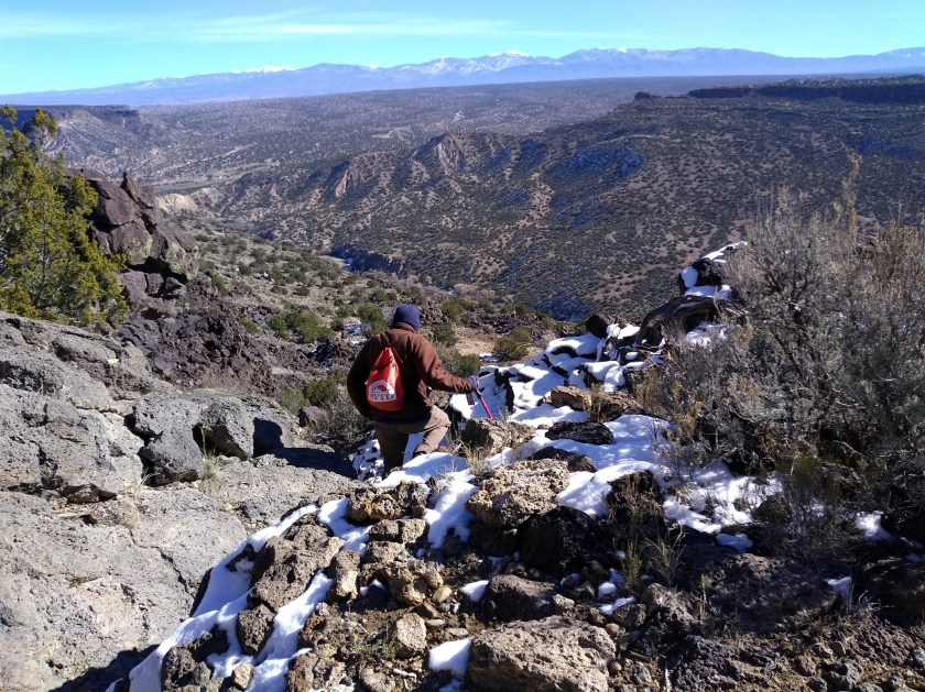
Our hike this week was one that we have done twice before. For some reason, we call it the “Red Dot Blue Dot” hike when the way that we’ve done it all three times is by starting at the Blue Dot trailhead, connecting to the River Trail, then the Red Dot trail, and finishing on the Canyon Rim trail. At least finishing on the Canyon Rim trail is the goal, but we didn’t manage that goal the first two times on the hike.
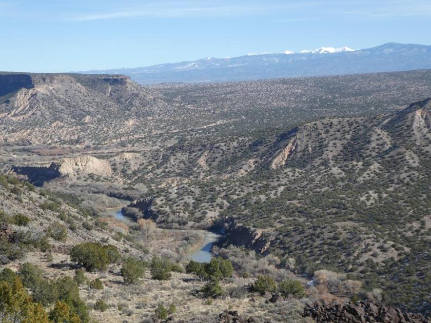
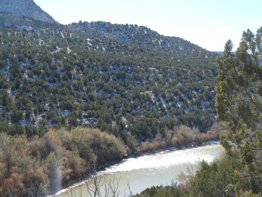
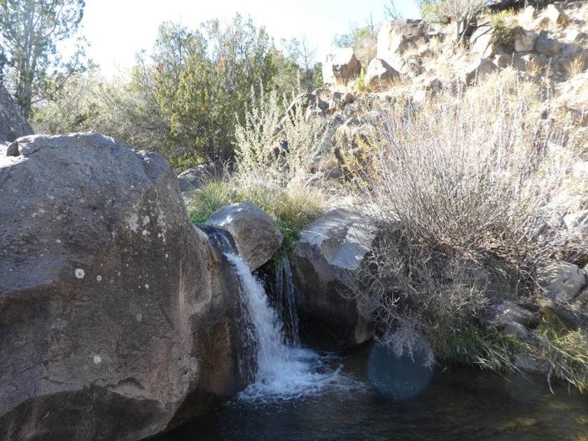
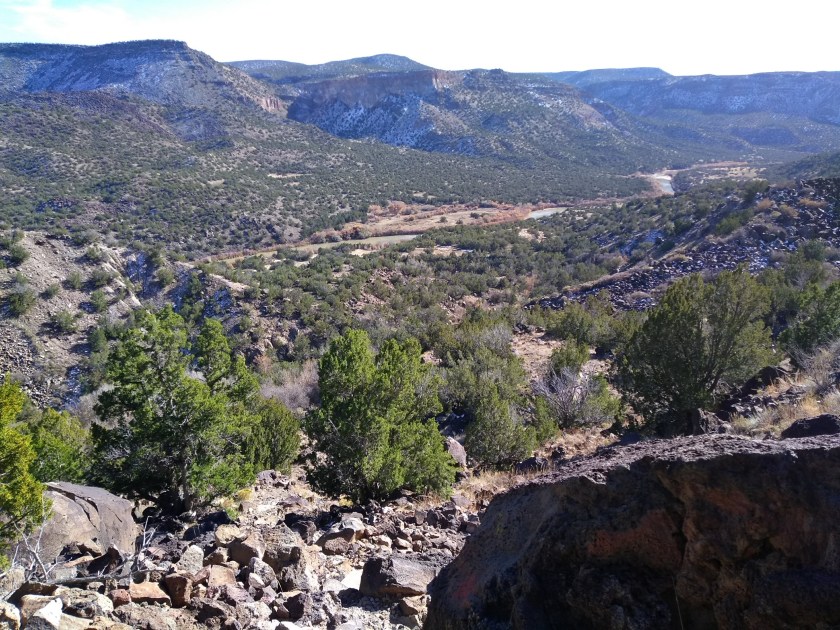
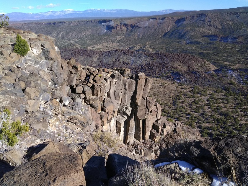
The hike leads down to the Rio Grande River at White Rock, NM, where the river cuts through a canyon lined by steep lava escarpments. A series of blue dots are painted on the black lava rocks to mark the trail as it descends into the canyon. At the bottom it connects to the River Trail and about 2 miles further along the River Trail it connects to the Red Dot Trail. This one climbs back out of the canyon over the lava escarpments and is marked with red dots painted on the rocks.
At the top of the canyon the trailhead for the Red Dot trail is on a side street in a subdivision of White Rock. It doesn’t directly connect to the Canyon Rim trail. Walking on the street is required and if you aren’t careful you miss the spot along the ditch where you get off the street and follow a path that leads to the Canyon Rim trail. There are many local neighborhood paths between the houses and it’s easy to miss the official trail. The first time we tried we added some extra walking trying to find the beginning, as well as at the end when we left the Canyon Rim trail too soon and went out of our way to get back to the car. The second time was a really long hike because we took a wrong turn almost as soon as we got on the Canyon Rim trail and then ended up walking back to the car through the town itself. The third time is a charm, though, and now we’ve finally figured out that tricky part at the end.
Below is a map that shows our 3 times on this hike. The purple line is the preferred way that we successfully accomplished on our third try. The blue overlaps the purple on the trip down to the river and back up but then shows how we had to walk through the subdivision. And the red line overlaps the purple except for a couple of extra side trips.

And now for old time’s sake I’m including a link here to the page describing
the first time we did this hike.
