Out of the Ordinary

The New Mexico Native Plant Society had a field trip to Deming, NM, planned for March 21. Since it’s a bit too far from Albuquerque for a day trip, we had made arrangements to spend the weekend at a motel in Deming. As the day of our departure approached, it was obvious that this was not going to be an ordinary weekend. In fact, the whole week was definitely out of the ordinary.

Every single group activity that the two of us are usually involved in was sending out notices of cancellation. Hey, let’s take advantage of all the free time, was my first thought. And that’s exactly what we did.

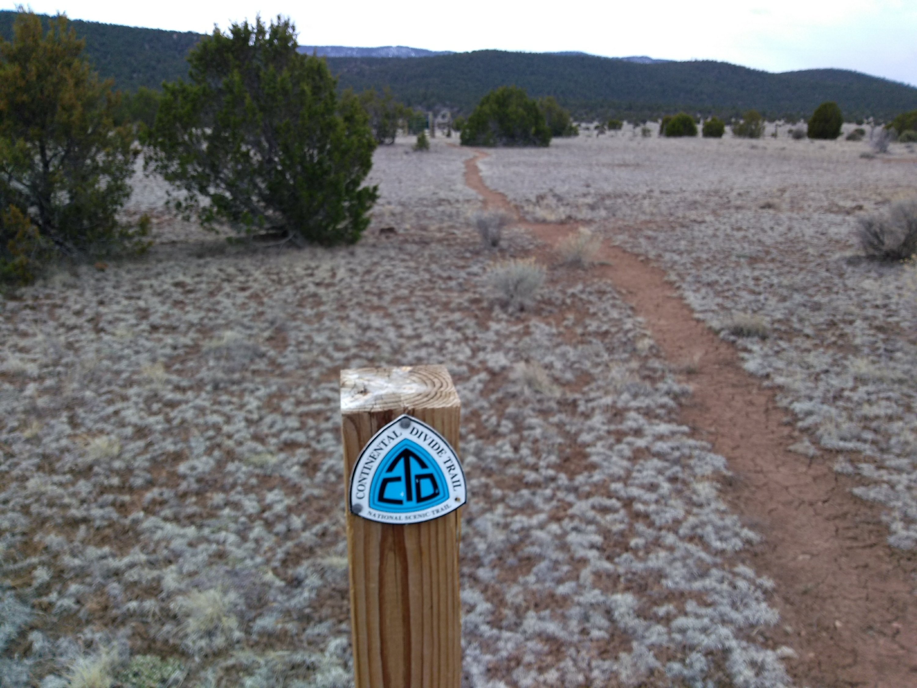
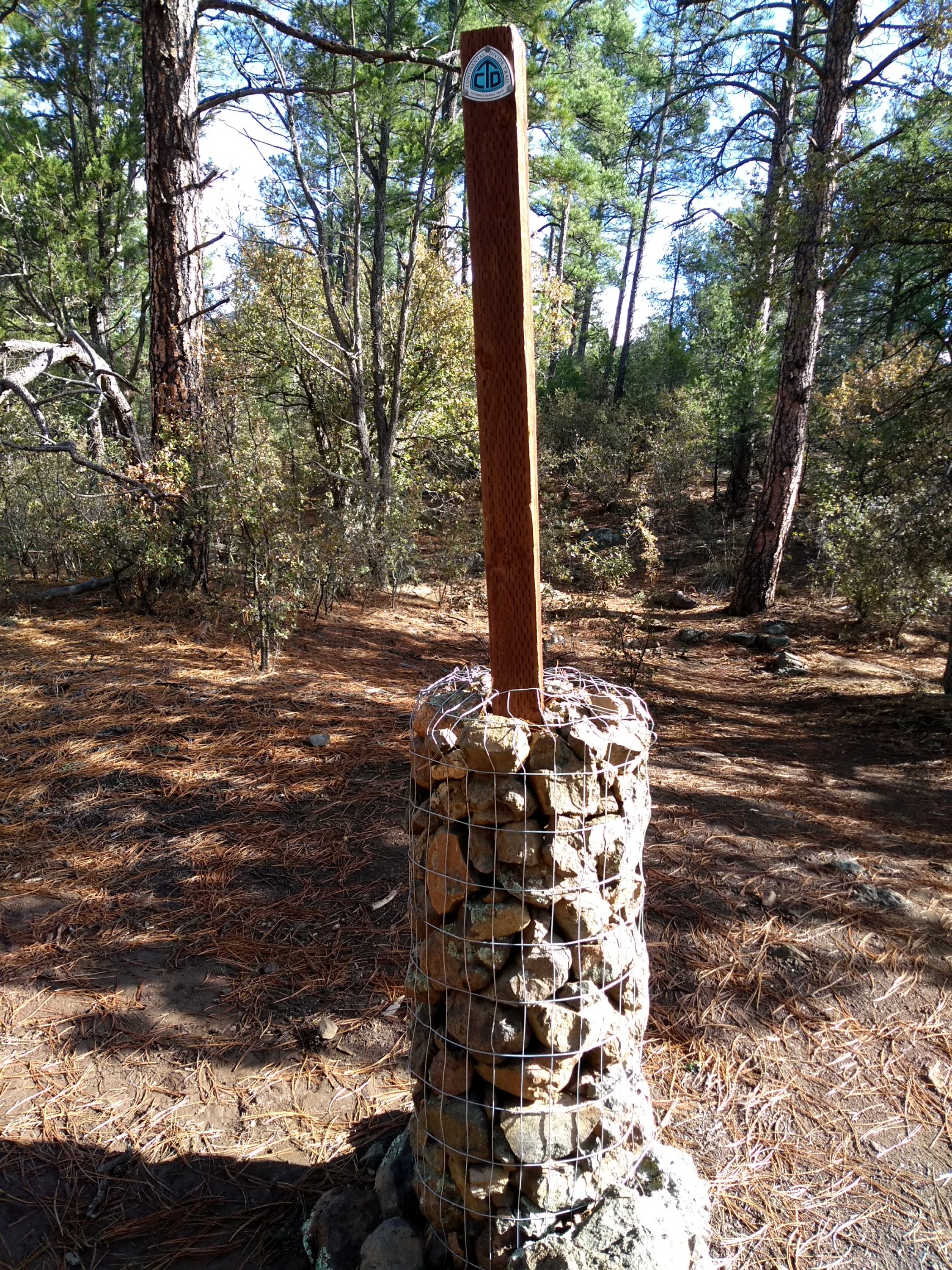
We left Albuquerque early Wednesday morning for a hike near Reserve, NM, hoping that the rainy day weather forecast wouldn’t materialize. By 2pm we had completed a 7-mile out and back hike on the Continental Divide Trail just as the rain clouds started to sweep through the mountain pass towards us. A short drive took us into Reserve where we warmed up with hot tea and dessert at a small cafe.


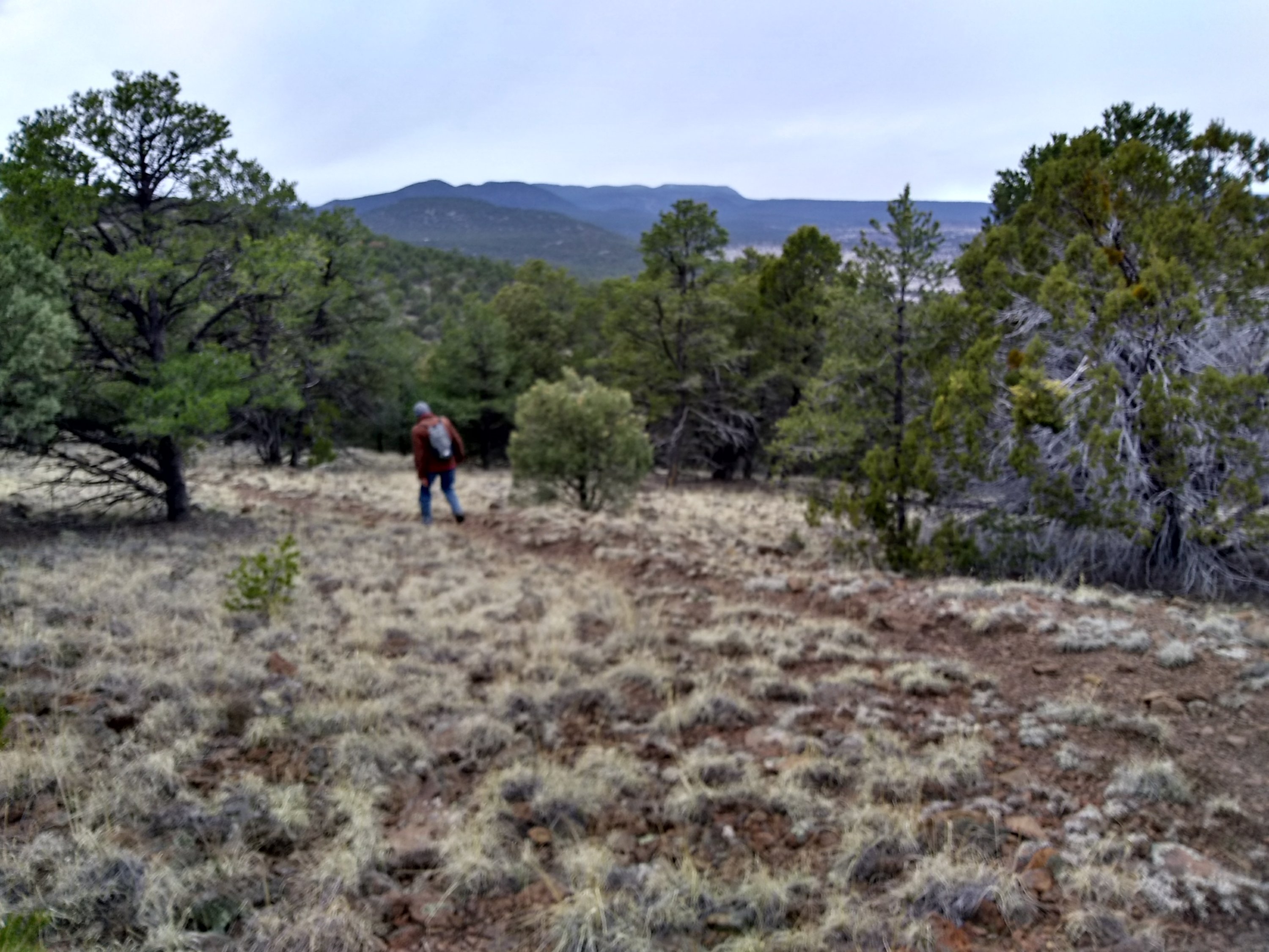
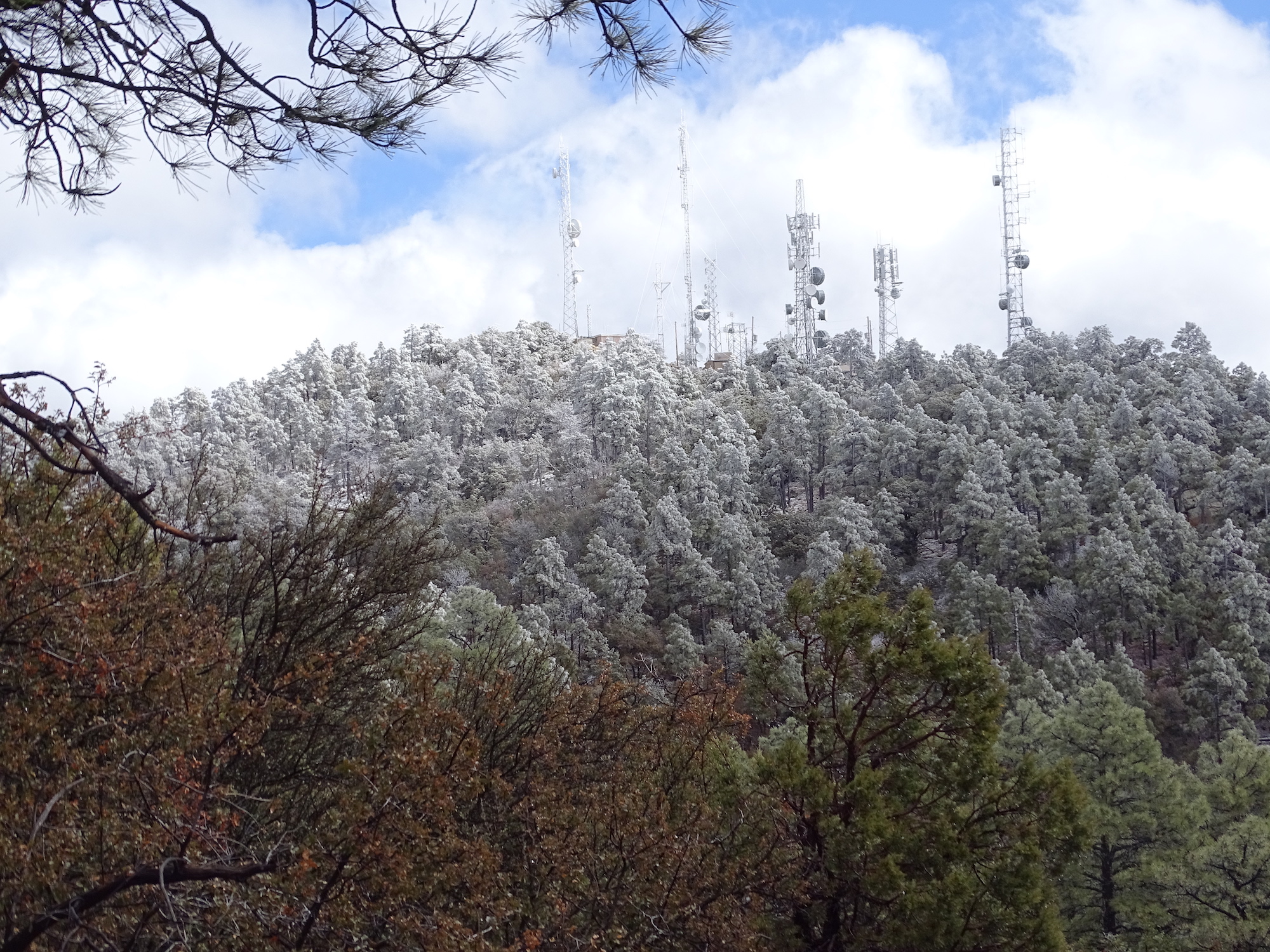
Thursday and Friday we decided to keep with the CDT theme and investigate some of the sections of trail in the Silver City area. Thursday found us at the Jack’s Peak Trailhead where we endured more of an uphill hike to reach a turnaround point at 3-1/2 miles. Jack’s Peak itself could have been reached by exiting the trail and walking on the maintenance road that leads up to the towers on the peak. But we were content to view the peak through the trees before heading back down the way we had come. The rain from the day before had left some lingering morning snow flurries on the mountaintops around Silver City. As the day warmed the sun made short work of the snow on Jack’s Peak but we did catch a glimpse of whiteness.


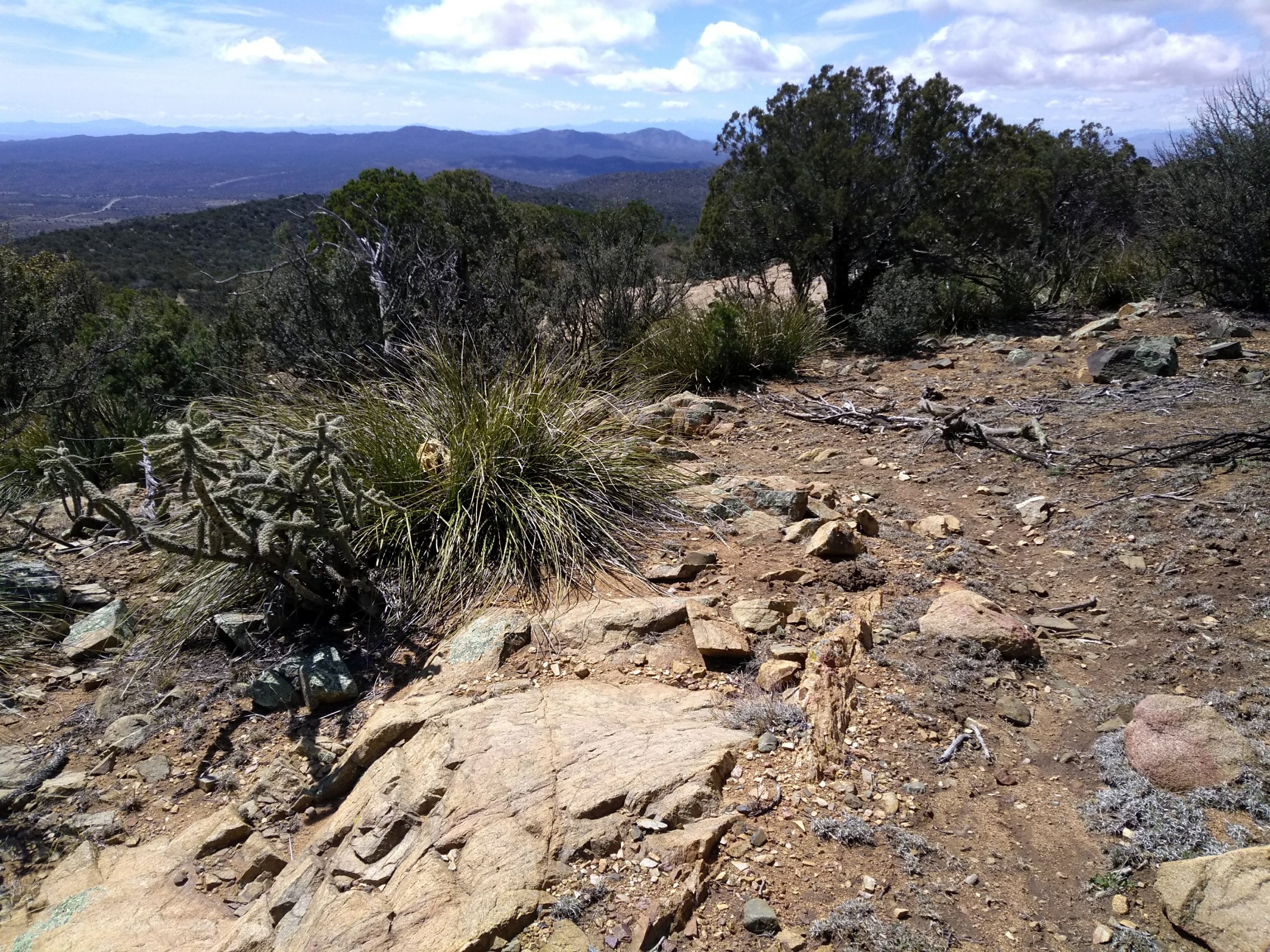
The Gomez Peak Trail System, a popular day use area located in the Gila National Forest a few miles outside of Silver City, was the location of our Friday hike. Once again we didn’t tackle the peak itself. Most of the trails were pretty tame winding around through the woods. One of the trails was an access trail to the CDT so we got on it and then did a short section of the CDT just to keep the theme going.


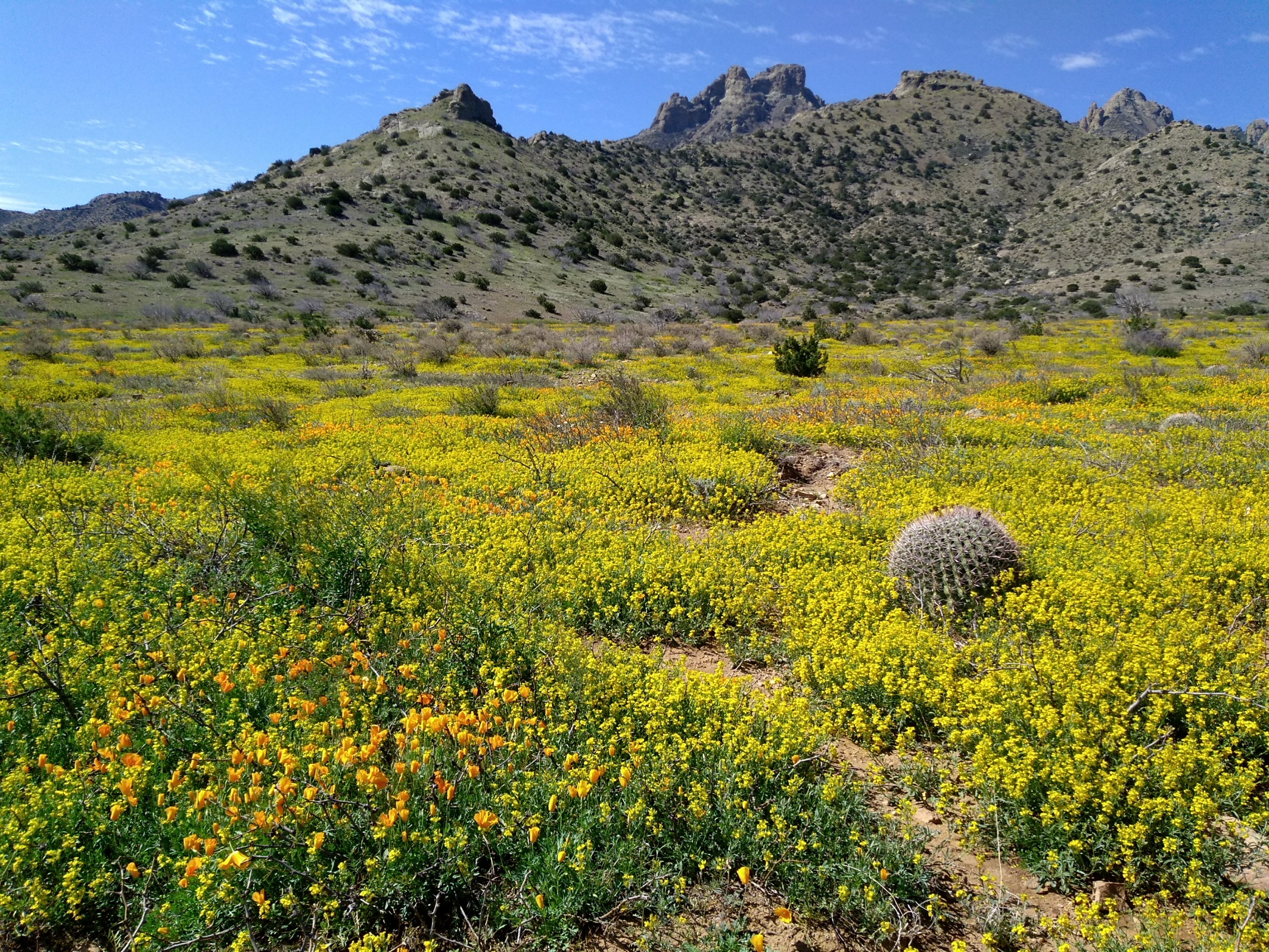
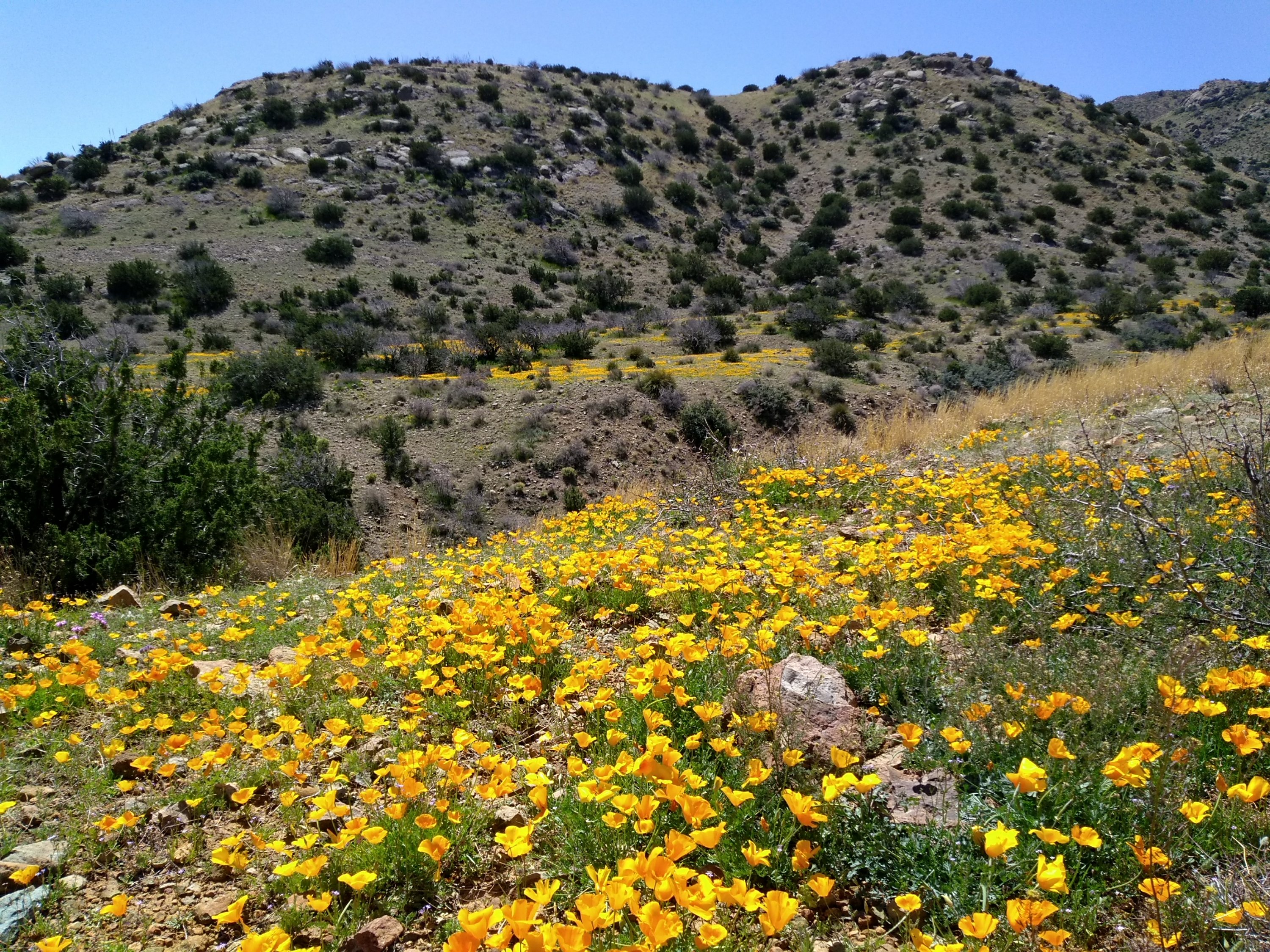
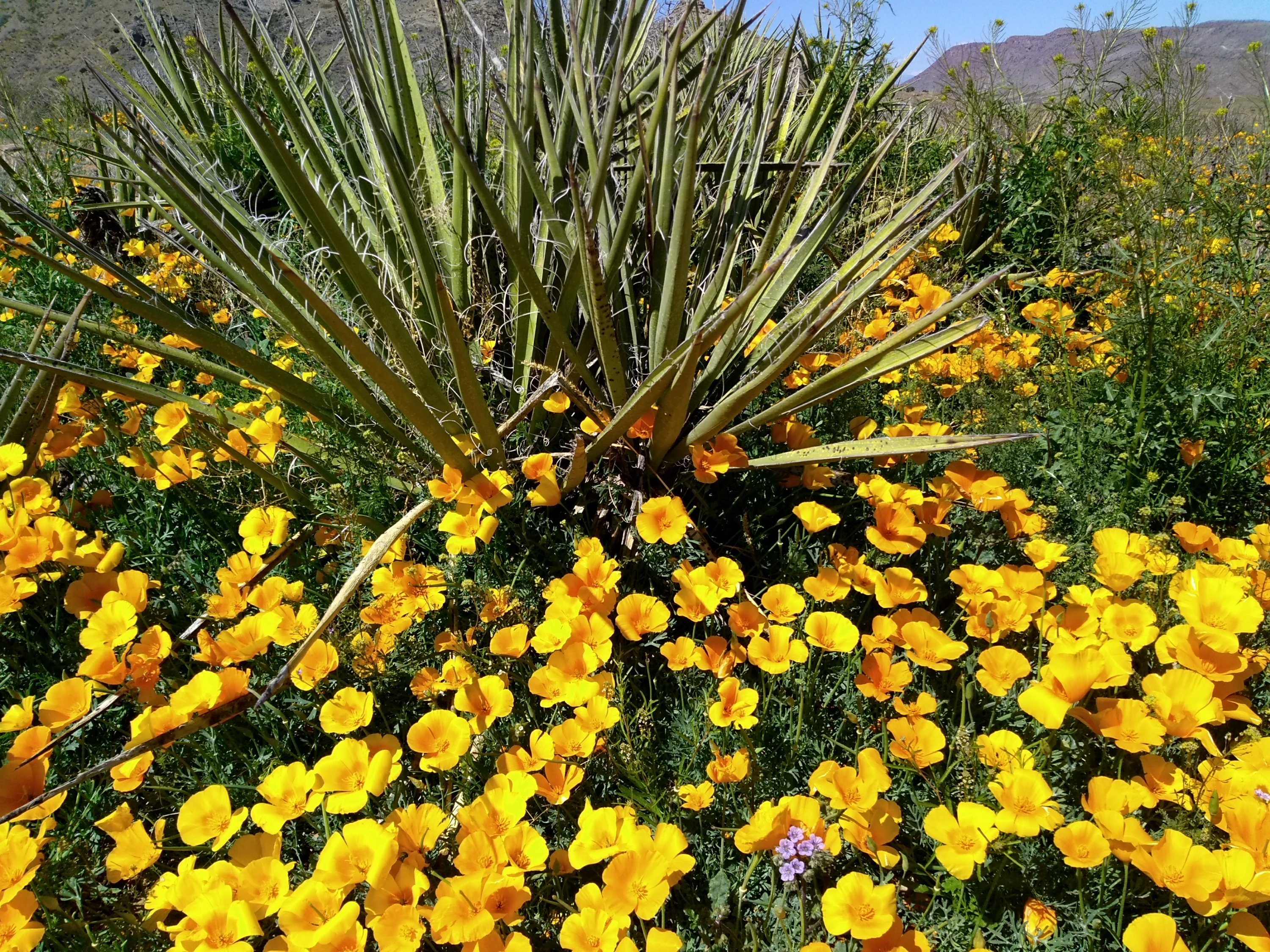
The three days of hiking was an unexpected bonus to the original plan of being in Deming today for the field trip with the flower experts. They may not be hikers but they sure do know their flowers. Conditions were perfect for seeing the springtime bloom of Mexican poppies. We don’t get to see them in the northern part of the state so it is a real treat. In the first picture most of the yellow is bladderpod; the golden color is the poppies.


A “Maars” Scape

In New Mexico we are accustomed to hiking in landscapes that can be described as “moonscapes.” Today’s desolate hiking destination took us through an otherworldly landscape around a special type of volcanic crater known as a “maar”,  hence a “maars scape.”  When hot, molten rock comes into contact with subsurface water it can cause a huge explosion of steam that hurls ash and volcanic material over a large area before collapsing and creating a shallow crater.

Kilbourne Hole, located about 25 miles southwest of Las Cruces, is a large maar designated a National Natural Landmark in 1975 due to its unique geology.  We are spending a couple of days exploring hikes in the Las Cruces area and decided that today would be a good day to check out this special volcanic feature.

I thought a feature designated a national landmark would be fairly accessible, but without the detailed driving directions in our guidebook “Day Hikes in the Las Cruces Area”, we never would have found it.   There’s no such thing as a direct route through this part of Dona Ana County.  Once leaving the interstate, it is a series of 8 different turns back and forth on increasingly rough county roads leading out into the vast Chihuahuan Desert grasslands.  The only sign indicating that we were headed towards Kilbourne Hole was a hand written sign placed on one of the dirt roads that branched in two directions.  My guess is that the rancher got tired of having lost tourists taking the wrong branch and ending up at his ranch.

The edge of the crater itself is the only indication that you have finally arrived at your destination. The bottom of the crater is private land but a number of jeep trails and dirt roads surround the rim, making it possible to hike the entire 7-mile perimeter. Except for some sandy areas that made for difficult walking, it is not a strenuous hike. It’s not exactly a scenic hike, but it does have the desolate beauty of the desert solitude we enjoy so often in the Land of Enchantment.

Besides being a volcanic maar, Kilbourne Hole is renowned among rockhounds as a place to find “volcanic bombs” or xenoliths. These are blobs of molten lava ejected from the volcano that contain pieces of other rocks, most notably olivine crystals in the hardened lava rocks at this location. We found many broken pieces of black basalt that were encrusted with the bright green olivine crystals.

Bright green anything is a welcome sight this time of year.  Lee found a couple of tiny flowers that he could photograph but not much else was growing yet.  Thankfully, the spring winds aren’t blowing yet either.  After a chilly start in the morning we had plenty of sunshine to warm us up and make a perfect hiking day.