
Oh no, it’s snowing again! Friday morning, looking at two days ahead of us with nothing on our schedule, but there it was, more lousy weather again preventing us from planning a hike. It’s been happening all too often this winter. But we came up with a plan that made good use of our two days.
A three-hour drive took us down to Las Cruces, in the southern part of the state. That area hasn’t escaped the winter storms, but it is warmer than Albuquerque and there are mountains there that don’t have snow on them.
Our first stop was at the Southwest Environmental Center where we had been told about a book ‘Day Hikes and Nature Walks in the Las Cruces – El Paso Area’. Since there isn’t much information on the Internet about hikes in that area, we purchased the book and used it as our guide.
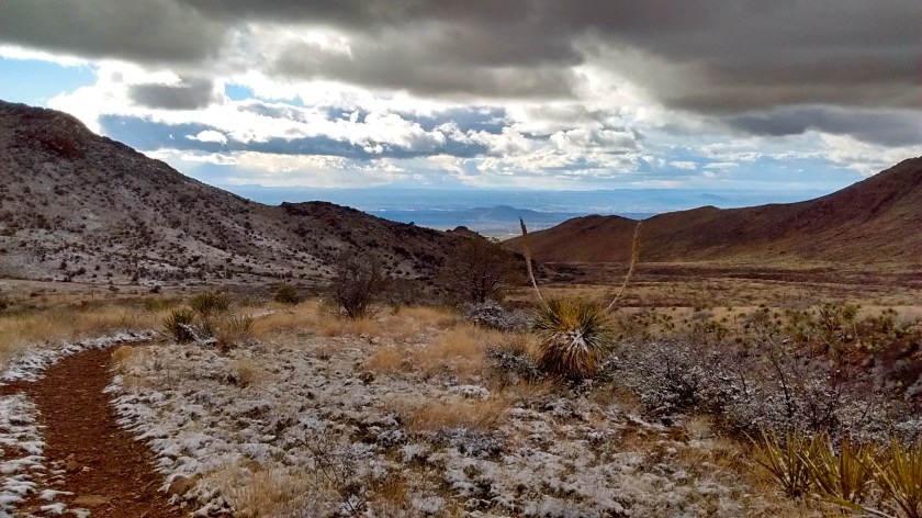
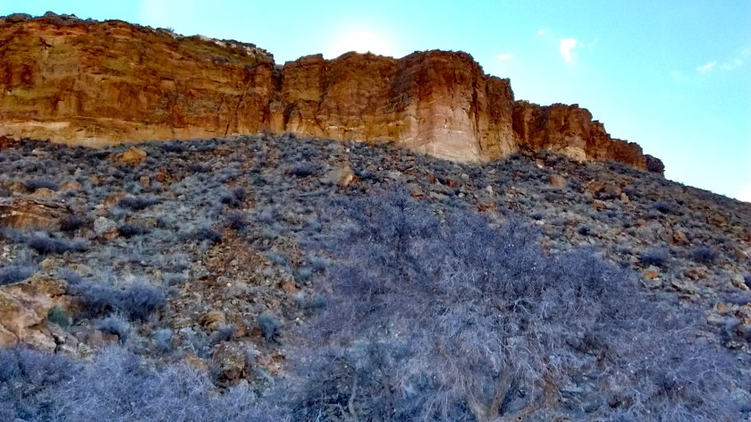
It was mid-afternoon by that time so we knew we would only be able to do a short hike before it got dark. The director at the center recommended Soledad Canyon. It was a beautiful 3-mile loop in the foothills on the western side of the Organ Mountains.
Fortunately, we were still acclimated to chilly weather. The clouds were covering the peaks, a cold wind was blowing up the canyon and a dusting of snow covered the ground. The clouds and snow provided interesting lighting effects, compensating for the lack of sun and what is probably an awesome view of the peaks in clear weather.


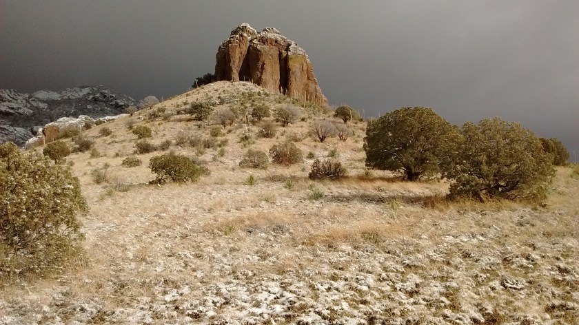


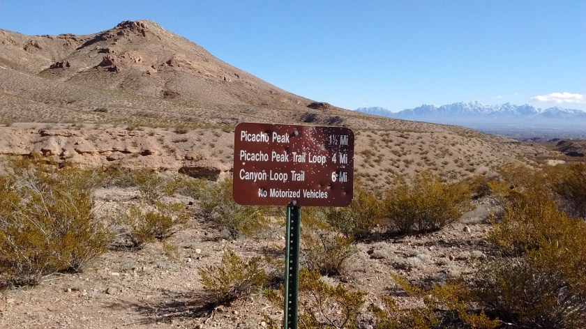
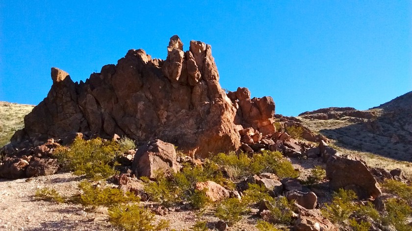
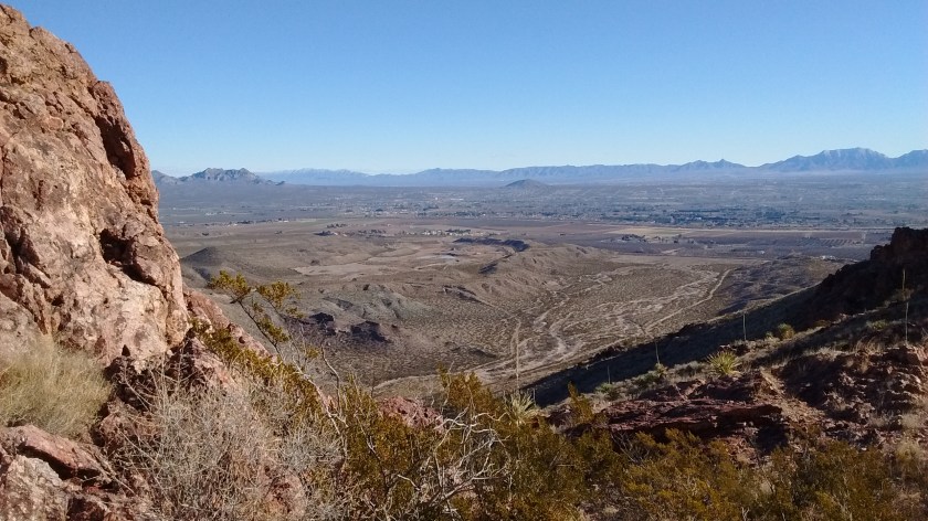
We woke up Saturday to cold morning temperatures but our bright New Mexico sunshine was back and the day warmed up quickly. Our first hike was to climb Picacho Peak on the northwest side of Las Cruces. It doesn’t look like much from the highway but once you get closer to it and start the climb it becomes much more interesting.
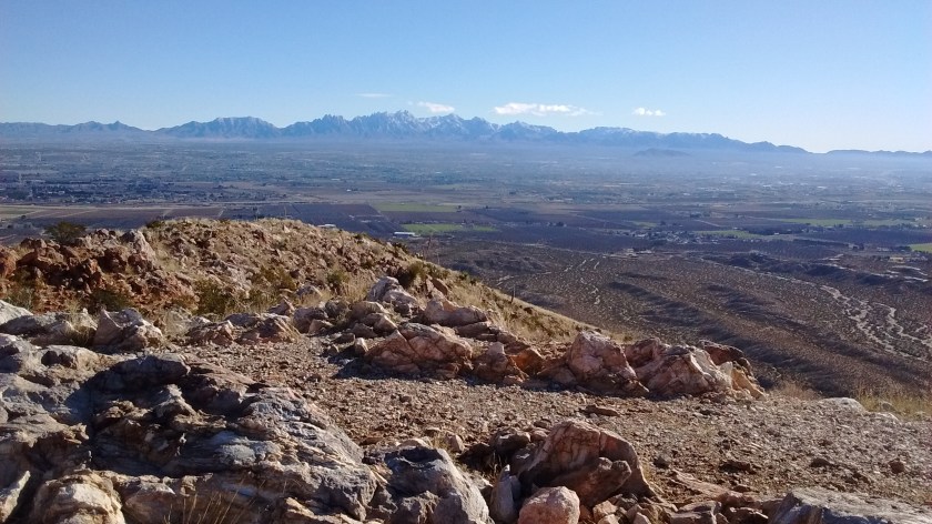
The book recommended a 6-mile loop at Picacho Peak, but we just did the mile-and-a-half trail to the top and then back down. We still had another hike that we wanted to do. And that second hike was the one we will most remember, not necessarily with fond memories. First, some photos from Picacho Peak.

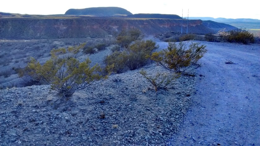
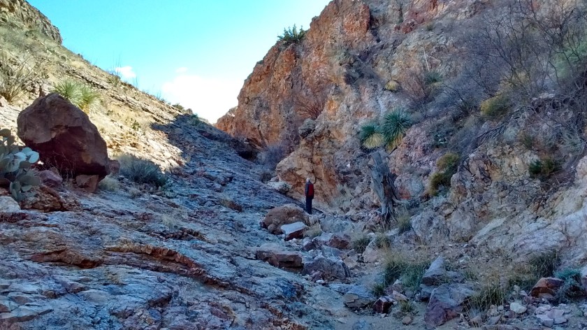
For our second hike on Saturday we used our new book to guide us up Tonuco Mountain, a flat-top, isolated mound that sits just west of I-25 about 25 miles north of Las Cruces. It seemed like a logical choice since after the hike we would be driving north on I-25 to get back to Albuquerque.
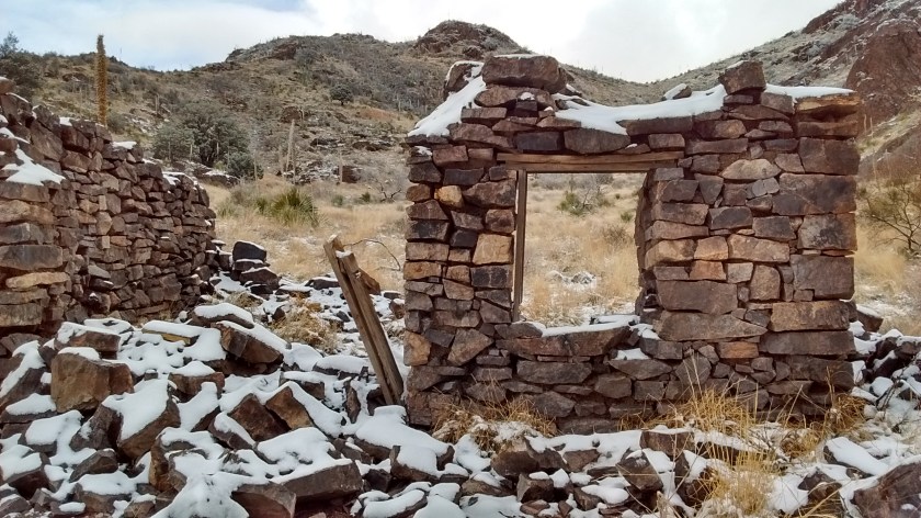
The book was a bit short of details and we weren’t prepared for the difficulty of the hike or for the 10 miles of dirt road required to get to the trailhead. Unlike Picacho Peak it is not a place that is well known and there are no established trails. There are jeep trails and old mine ruins but that made it even more confusing to figure out what and where the book’s description was directing us.
Part of the drive to the trailhead on the dirt road required passing under I-25 and that was one of the most harrowing parts of the excursion. The wet weather had caused a big puddle to fill the underpass and we weren’t sure how deep it was and if we should risk driving through it. We plowed through on the way there, but then had a worry in the back of our minds the whole time we were hiking that we wouldn’t be able to get through it again on the way out.
But, all’s well that ends well. We did make it to the top of Tonuco Mountain and, although the car came out looking like a mud truck, we did make it back through the underpass.


Beautiful with the snow decorating the rocks and trails.
You guys are fearless! I love reading about your adventures.