
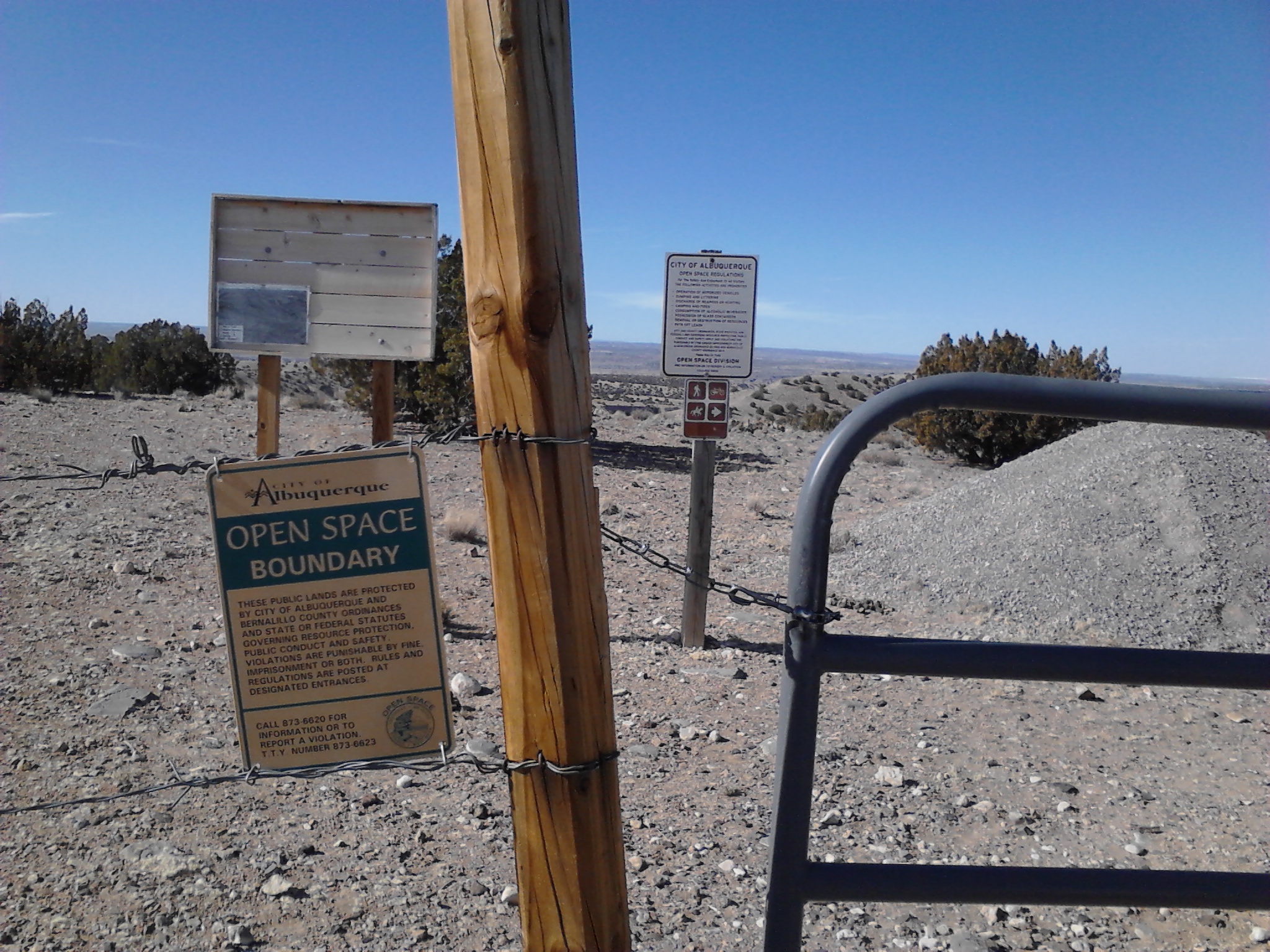
Today seemed like a good day to do another hike at one of the Albuquerque Open Space areas. The “60 Hikes Within 60 Miles of Albuquerque” book that has helped us discover many good trails since we moved here, had a description for a 4-mile hike at the Las Huertas Open Space near Placitas.
On the Albuquerque Open Space map posted with the Manzano Open space hike, Las Huertas is the northernmost small, green polygon at the top of the map.
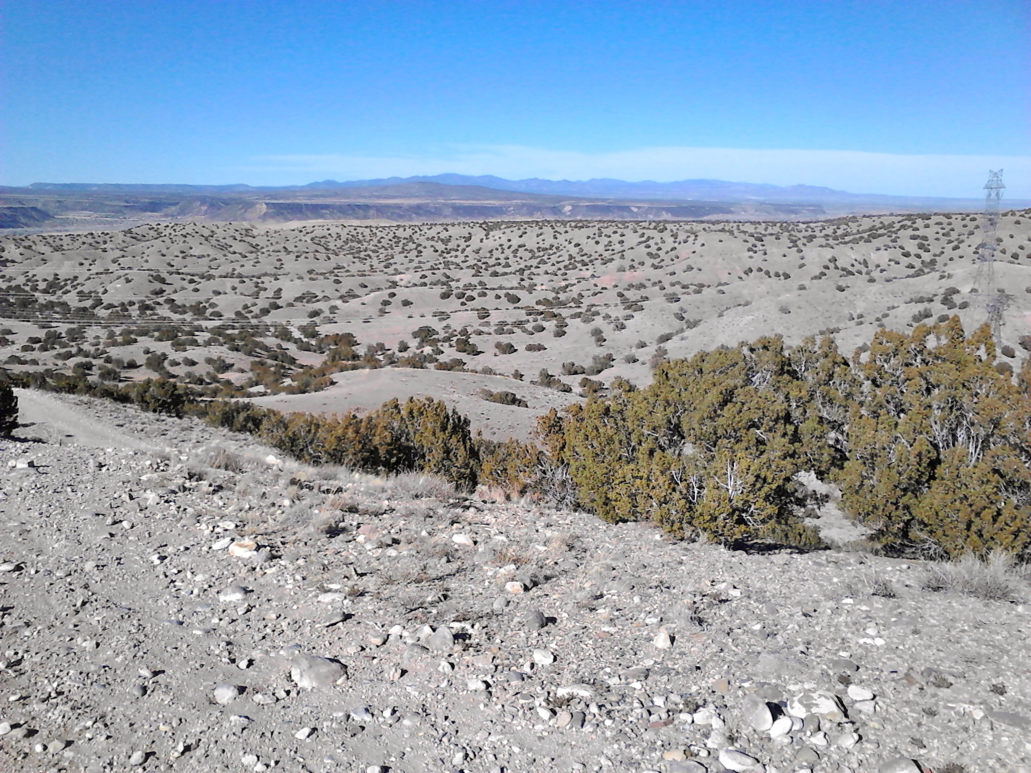
Las Huertas is less than 600 acres, but it adjoins a large area of BLM land. Most of today’s hike was on BLM land, not on the Open Space. This meant a day of wandering on unmarked trails, constantly looking at the description in the book to make sure I was on track. There were a few times of confusion given the numerous dirt roads and trails that are usually on BLM land this close to an urban area, but I managed to figure things out without getting lost. With all of the surrounding open desert country and the landmark mountains in the distance, it would be hard to really get lost, anyway.
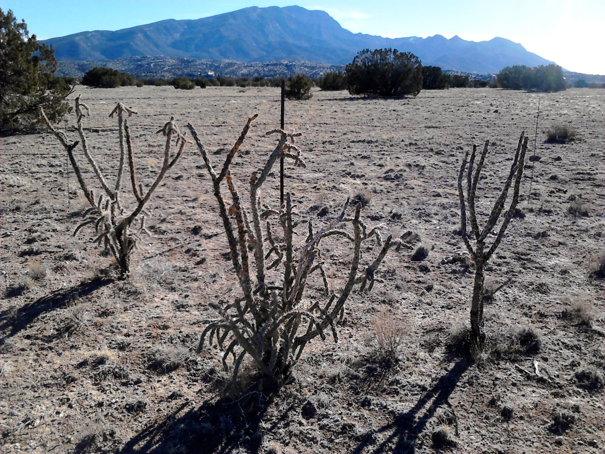
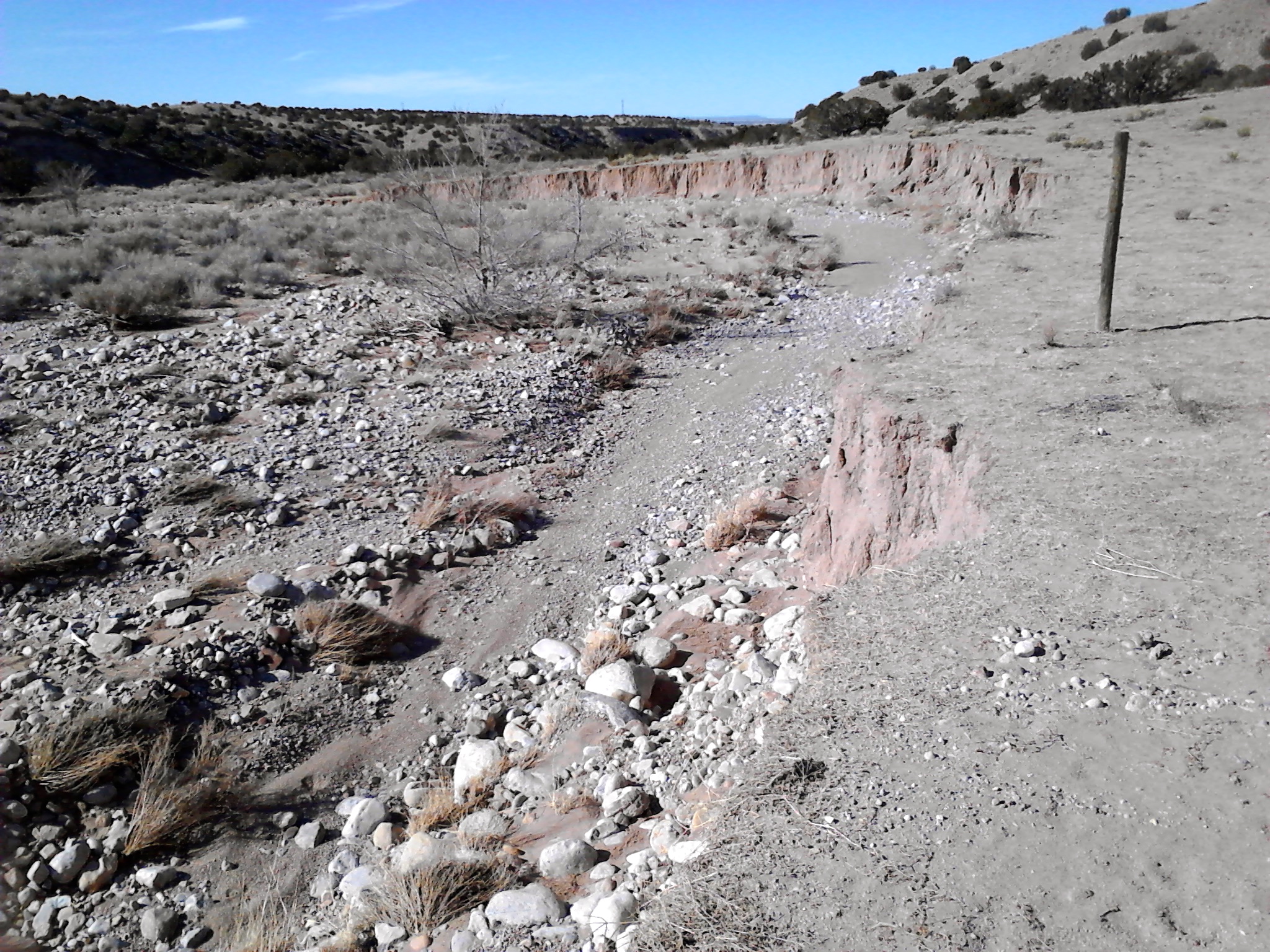
The Open Space is named for Las Huertas Creek, which starts just below Capulin Peak, about 8,600 feet up in the Sandia Mountains to the south. There may be water in it somewhere up there, but I should have known that this would be a typical New Mexico watershed that is just a dry, sandy creek bed. The first section of the hike, less than a mile from the start, leads you towards the creek. Then a lot of the walking either parallels or descends into the stream bed.
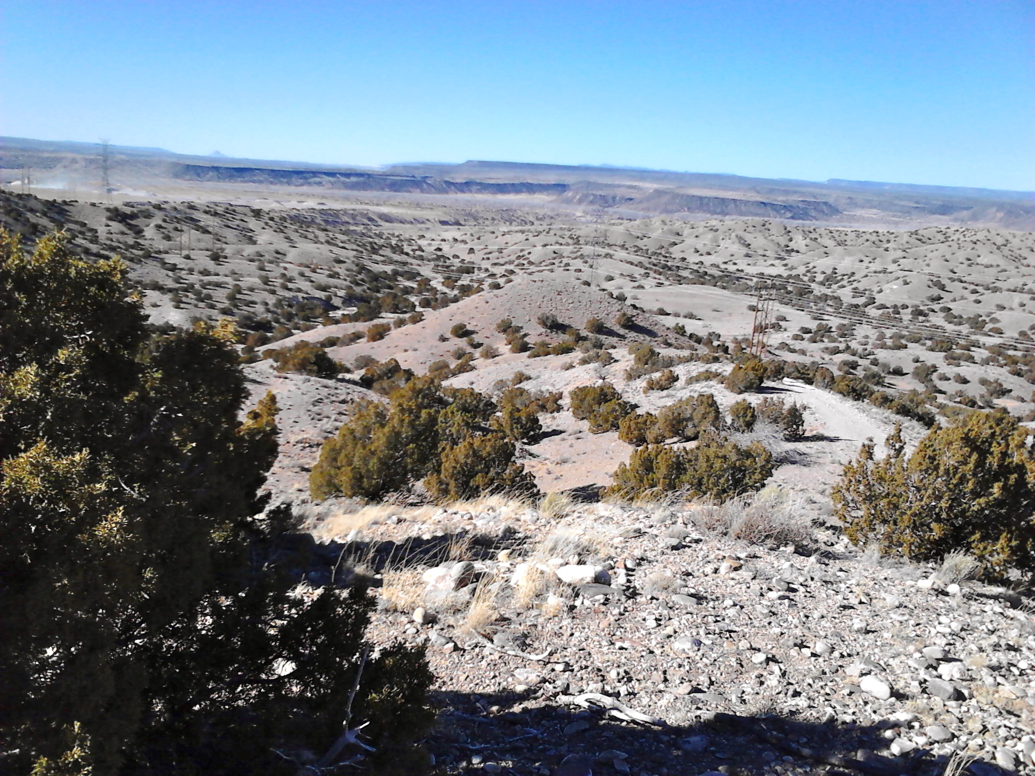
There wasn’t much in the way of scenery, but as the trail ascended a couple of hills and ridges I enjoyed identifying many of our Albuquerque area landmarks in the distance . And I can check off another hike from the “60 miles” book, as well as another Albuquerque Open Space.

Map and GPS track on Every Trail.
