Magdalena Mountains Hike

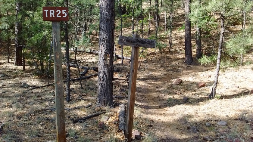
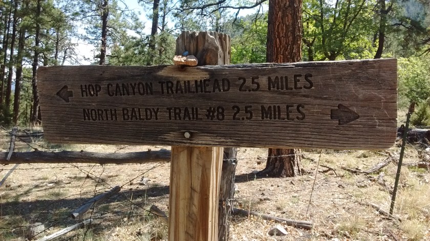
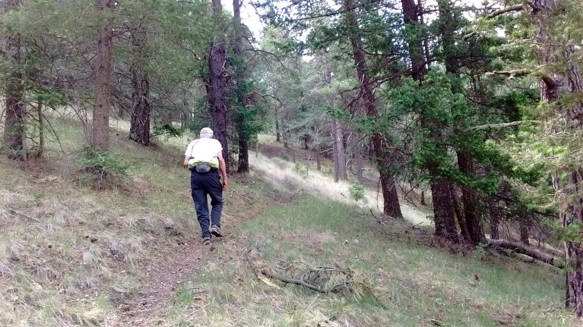
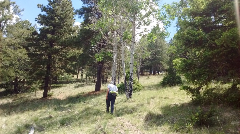
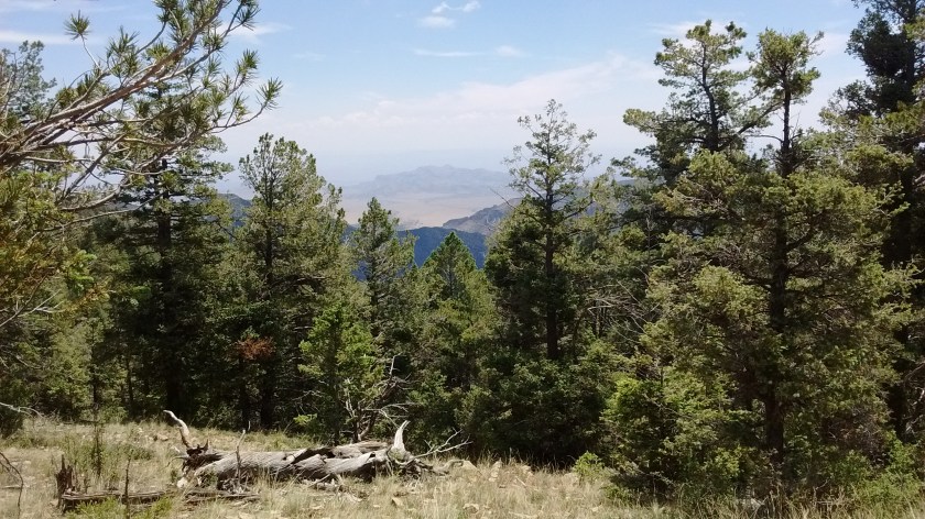
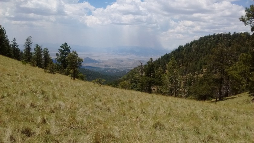
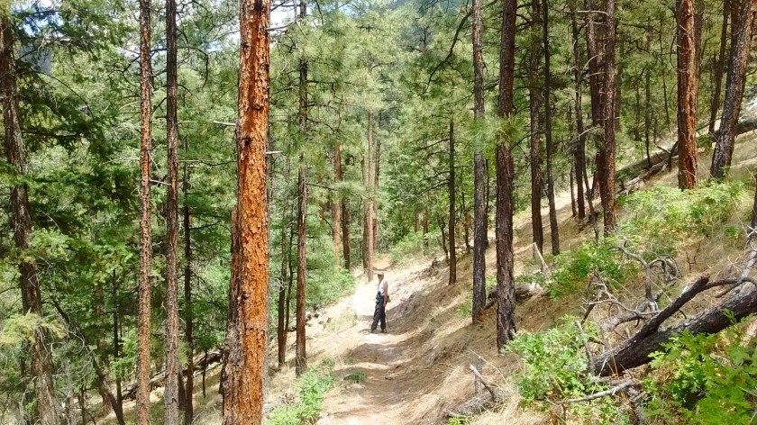
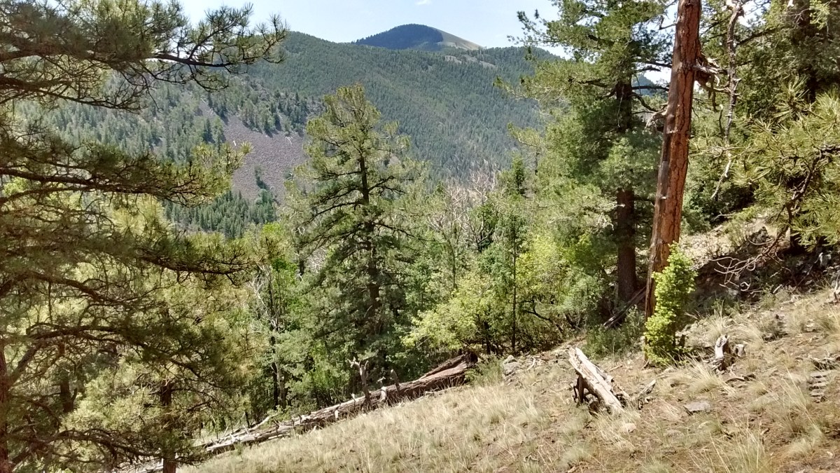
We aren’t sure what to call the trail that we hiked recently in the Magdalena Mountains, but we both agreed that we never would have made it to our desired destination at the top of the ridge if we hadn’t had each other to provide encouragement.  There isn’t a lot of documentation for hikes in the Magdalena’s but we had stopped at the ranger station and had a vague idea that it would be all uphill from the Hop Canyon trailhead to the point that our map showed Trail 25, aka Hop Canyon Trail, intersecting Trail 8.  What we weren’t expecting was 5 miles of climbing from a start of 7700 feet to a high point of 9800 feet.

Here is an interactive map, showing the track of our hike.

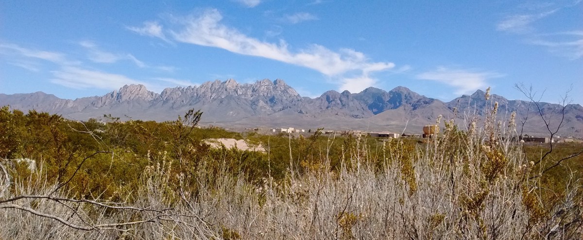
To get to the trailhead it’s a one-hour drive south of Albuquerque to Socorro, NM, then 25 miles west on Highway 60 to the town of Magdalena, which is at the base of the northern end of the Magdalena Mountains. Then you drive about 10 miles up into the mountains on Hop Canyon Road to reach the trailhead.

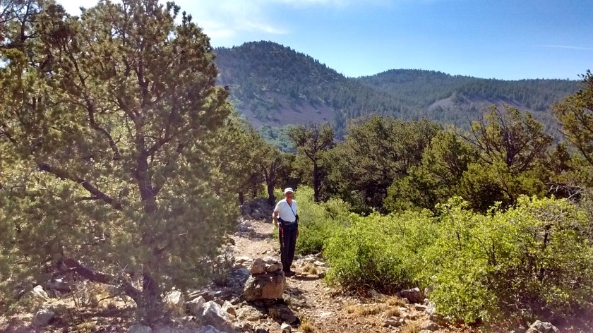
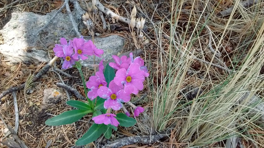
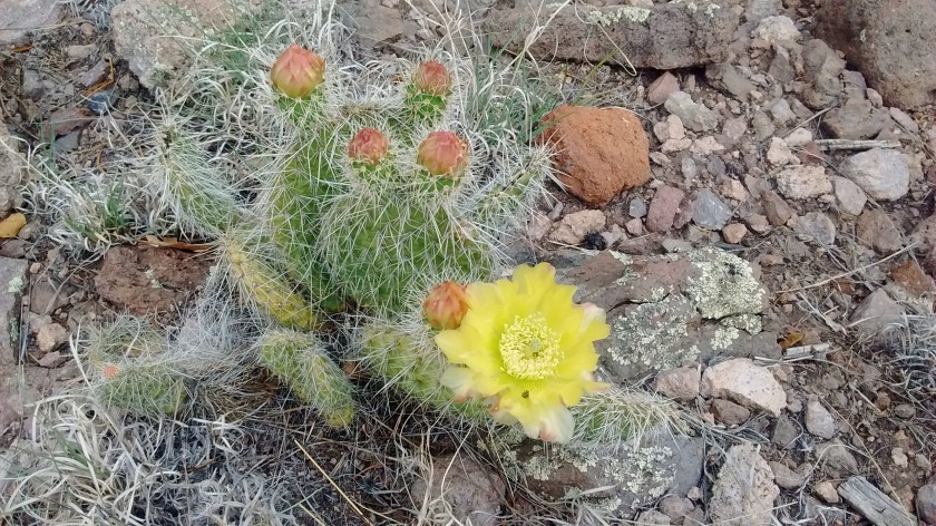
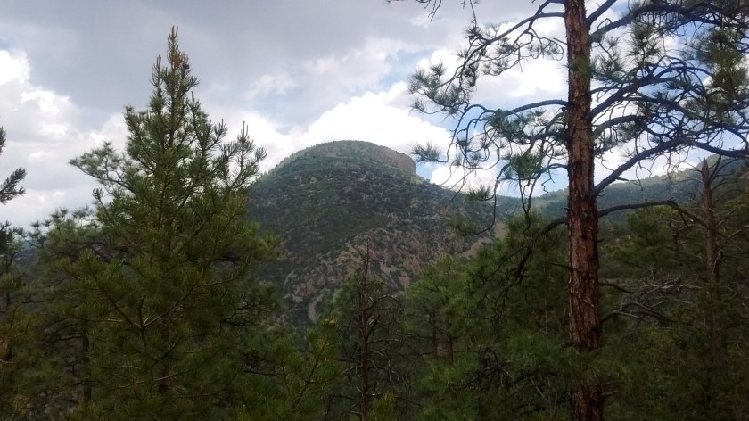
We like the Magdalena Mountains because not many people hike there and they are surprisingly beautiful considering they are surrounded by so much flat, uninhabited desert. We had made a trip there in March and hiked up a canyon on the eastern side, approaching the ridge between South Baldy and North Baldy. But we gave up before we actually reached the ridge. That was part of the challenge for completing Trail 25 because it would take us to the ridge that we hadn’t conquered in March.

Starting point.
Starting point.
We were fooled at this point. We thought our destination was the ridge ahead but turns out there was much more hiking to another ridge behind that one.
Looking north. The town of Magdalena is down at the base of the mountains.
Resting in the shade of a nice, big alligator juniper tress.
Resting in the shade of a nice, big alligator juniper tree.
The halfway point. A brochure from the ranger station showed the Hop Canyon trail was 2.5 one-way, but somebody was confused because there was still 2.5 miles to go before getting to the ridge.
IMG_20160609_113314147
Lee just kept on trudging along.
IMG_20160609_113541974
There were a few aspens at the higher elevations.
View of South Baldy, highest point in the Magdalena's at 10,700 feet.
View of South Baldy, highest point in the Magdalena’s at 10,700 feet.
Lots of Ponderosa Pine.
Looking east from the ridge towards Socorro, which is behind the small mountain.
The flowers look like phlox, but not the leaves. They were abundant on the top of the ridge.
Forest fires in the San Mateo Mountains to the southwest of the Magdalena's.
Forest fires in the San Mateo Mountains to the southwest of the Magdalena’s.
Cute little cactus flower.
Thunderclouds and a few rumbles on the way down but didn't develop into any rain.
Thunderclouds and a few rumbles on the way down but didn’t develop into any rain.
Are you coming?
Are you coming?

Organ Mountains

We spent the last couple of days in Las Cruces, New Mexico, hiking in the Organ Mountains. About 250 miles south of Albuquerque, this desert region is Chihuahuan Desert, as opposed to the high desert regions of northern New Mexico. To some people, desert is desert, but, to me, it’s interesting to compare the two. Somehow it seems more open, quiet and peaceful down there. That might have something to do with the difference in weather, which is usually about 10 degrees warmer than Albuquerque. Lately our weather in Albuquerque has been unseasonably warm, close to 70, so in Las Cruces it was getting close to 80.

Similar to Albuquerque, where we have the Sandia Mountain range to the east of the city, Las Cruces has the Organ Mountains on the eastern side of the city. This trip wasn’t the first time we’d hiked there, but with more time to spend on this trip we were able to check out more trails.

When we got there Monday afternoon, we had enough time to go to the Visitor Center at Dripping Springs Natural Area, hike a couple of miles to see the ruins of the Dripping Springs Resort, and then hike 3 miles on a loop around the La Cueva rock formation.

Photos of Dripping Springs

Tuesday we drove over to the eastern side of the Organ Mountains and did two hikes at Aguirre Springs Campground. From this side of the Organ Mountains you are looking eastward at White Sands Missile Range property across the Tularosa Basin so it is miles and miles of uninhabited desert lands in view, including in the distance the White Sands National Monument and the mountains to the east of Alamogordo. That felt a bit like home to me, after living so many years in Alamogordo. I also was astounded to see that the poppies are already in bloom. I think that’s about a month earlier than they usually bloom.
Photos of Aguirre Springs

This morning before we headed back to Albuquerque we were again on the western side of the Organs, doing a 3.5-mile hike up into Achenback Canyon.
Photos of Achenback Canyon

And, as an extra treat on the drive home, we stopped at the Buckhorn Tavern in San Antonio, NM, to sample their famous green chili cheeseburgers. Wow, was it ever delicious. Green chili cheeseburgers are not something I’m in the habit of eating but after tasting that one, it may become a habit!