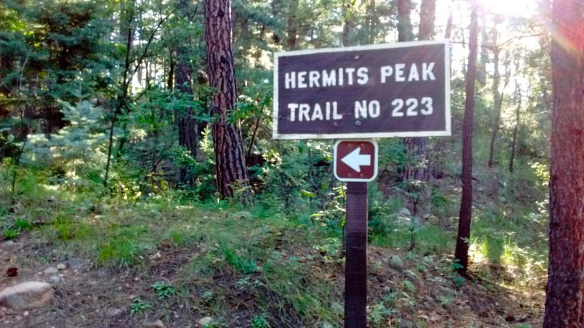
Many of times over the years I have driven on Interstate 25 north of Santa Fe on my way to places in Colorado or Wyoming. There isn’t much in the way of civilization in that part of New Mexico. Las Vegas, NM, is one of the few towns along the way and I was never impressed with what I could see of it from the highway. I was vaguely aware that there was a hike in the mountains to the west of the town but we always seemed too busy planning hikes to other areas of the state to investigate that area. But this week we finally made the 2-hour drive up there for an overnight camping trip and then the next day a truly awesome hike of Hermit’s Peak.
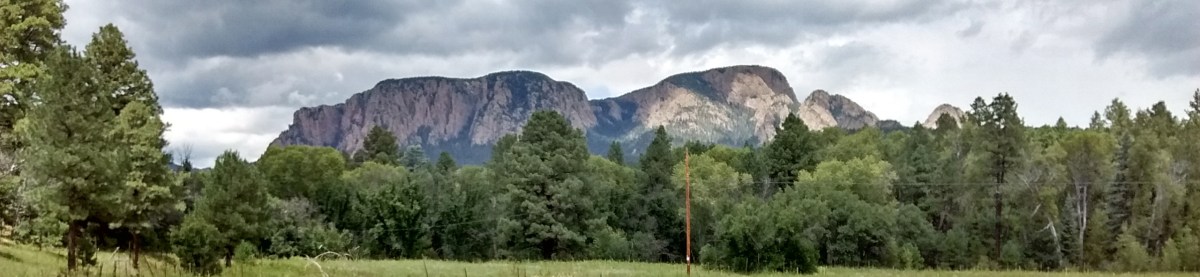
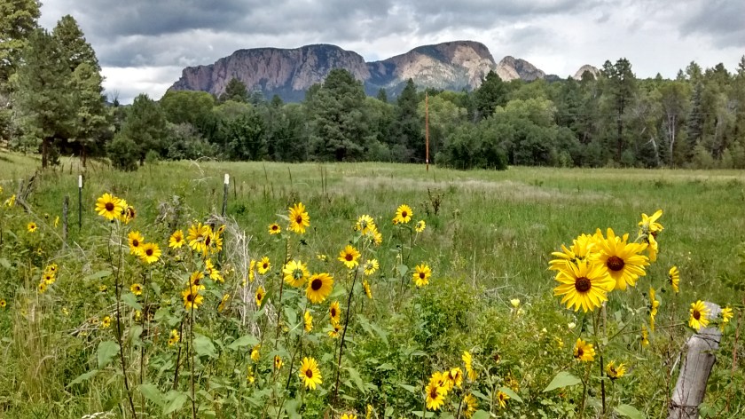
View of Hermit’s Peak driving on the road west from Las Vegas to the trailhead.
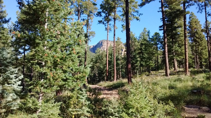
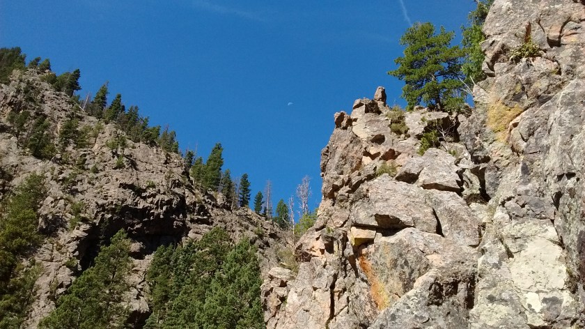
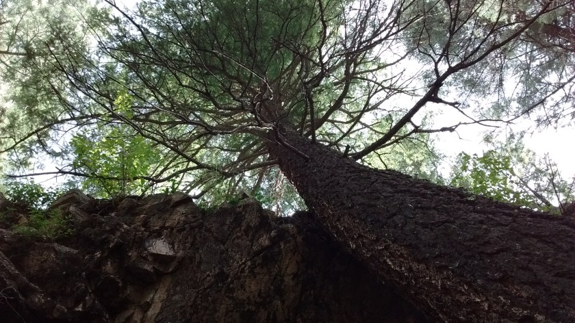
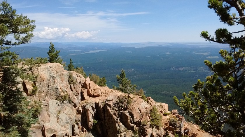
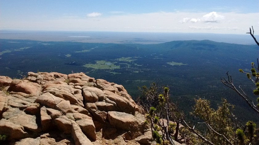
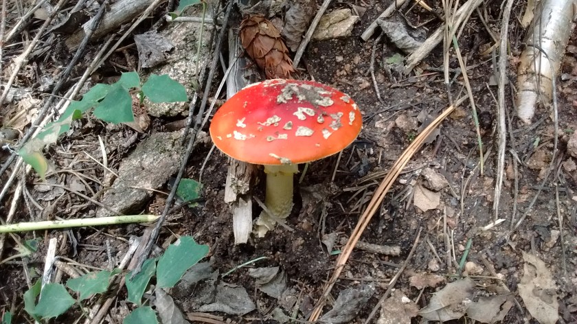
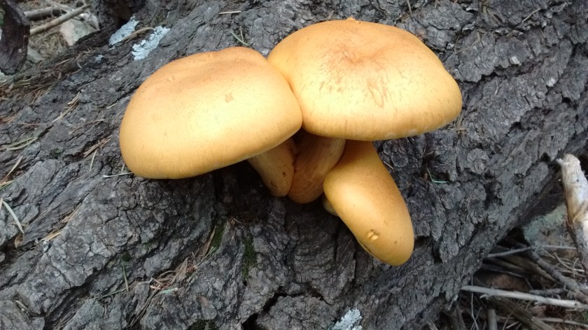
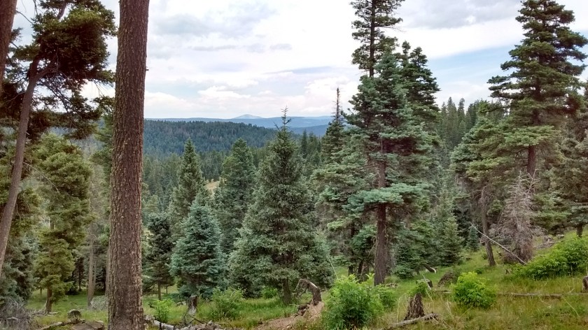
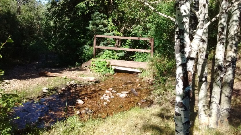
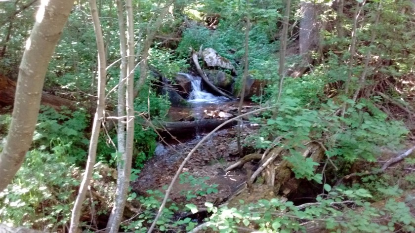
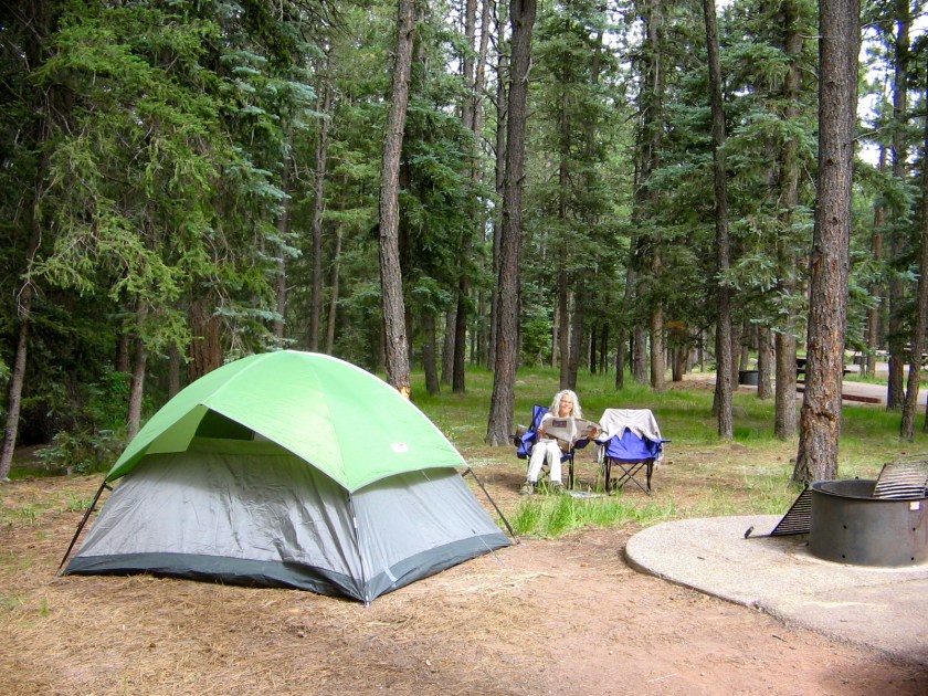
First mile or so of the trail is through pine forests–our goal is in the distance.Sky so blue and clear the moon was visible. Two hours later on our way down it was black with rain clouds. Fortunately, we had rain gear as it rained and hailed for the last 1 1/2 hours of hiking.Towering cliffs and towering trees.View from the top looking northeast to Pecos Wilderness.View from the top looking east towards Las Vegas and Storrie Lake.Campground was near this stream.
Before we planned the hike I wish that we had spent more time researching the history behind the name. There was a hermit who lived in a cave near the summit in the 1860’s. Many people believed that he was a saint and over the years made treks up the peak to view the cave. If we had known about the cave we might have spent some time trying to find it. Or maybe it’s just as well that we didn’t because we barely got off the peak before the thunderstorm hit. In any case, this site tells a good story about the hermit.
And another interesting connection is the description of the same hermit who lived for a time in a cave east of Las Cruces. We saw that cave when we did some hiking last winter in the Las Cruces area. This site describes the cave in Las Cruces.
One of the most remarkable things about the two days of hiking we did this week is that on neither of the two hikes did we see another human being. We were camped at a National Forest Campground and we did see people in the campground and on the roads, but no one seemed interested in getting out to enjoy the beauty of the wilderness. They didn’t realize what they were missing.
We were hiking in the San Pedro Parks Wilderness, located in the western Jemez Mountains, northeast of Cuba, New Mexico. From Albuquerque, it takes only about an hour and a half to drive to Cuba, and then about 45 minutes to drive up into the mountains to the campground. To get to the trailheads requires driving on unpaved Forest Service Roads, but for both of the two hikes we did, the roads were navigable with our Toyota Corolla. It was obvious that during wetter times of the year that wouldn’t be true, but since the summer monsoon rains haven’t yet appeared we were OK. Considering that this wilderness area is so easy to get to from Albuquerque, it’s even more surprising that so few people hike there.
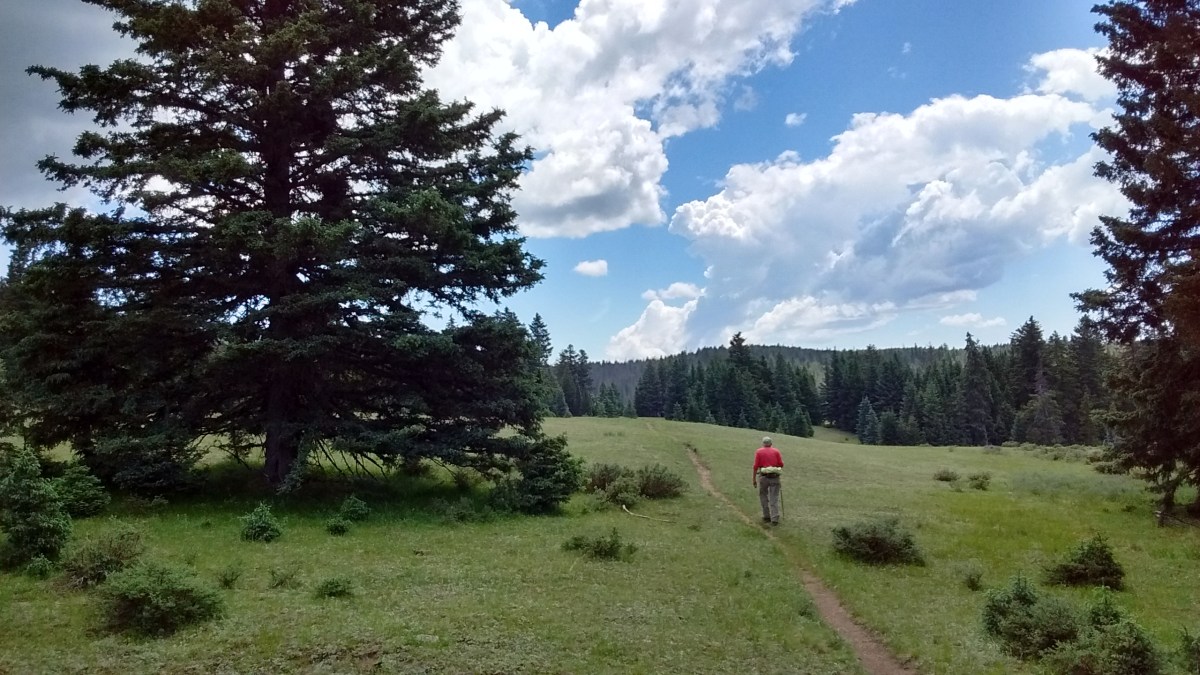
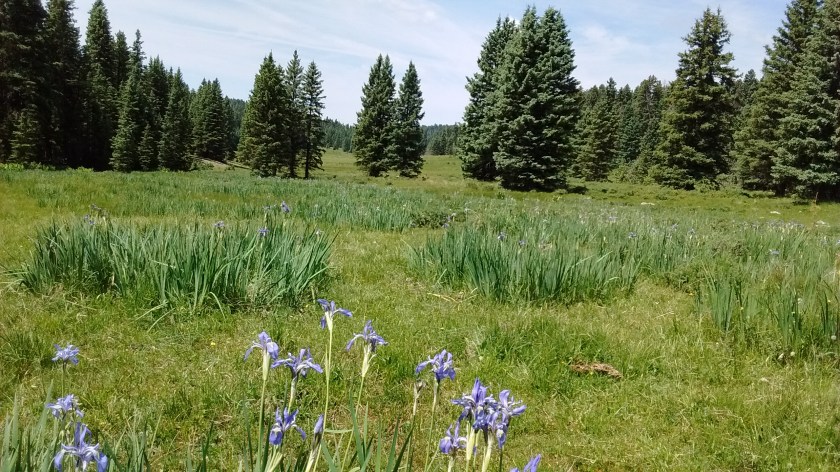
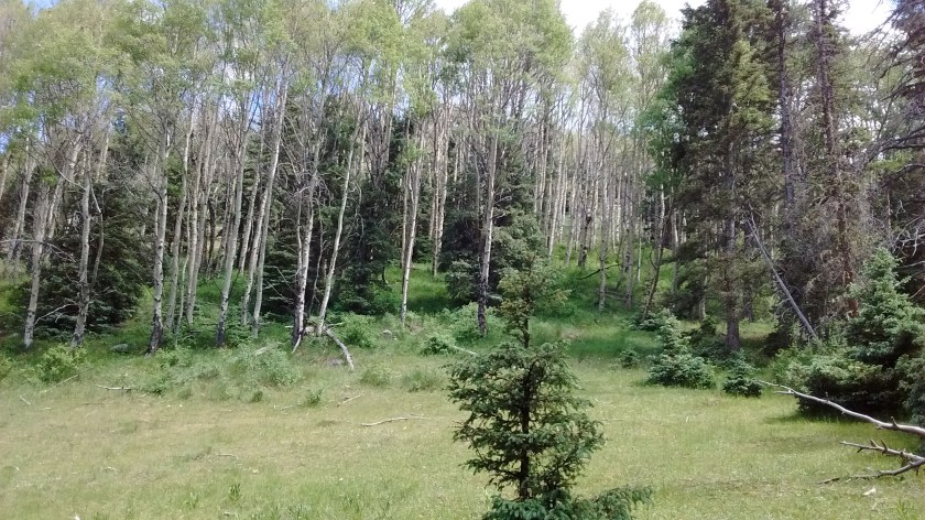
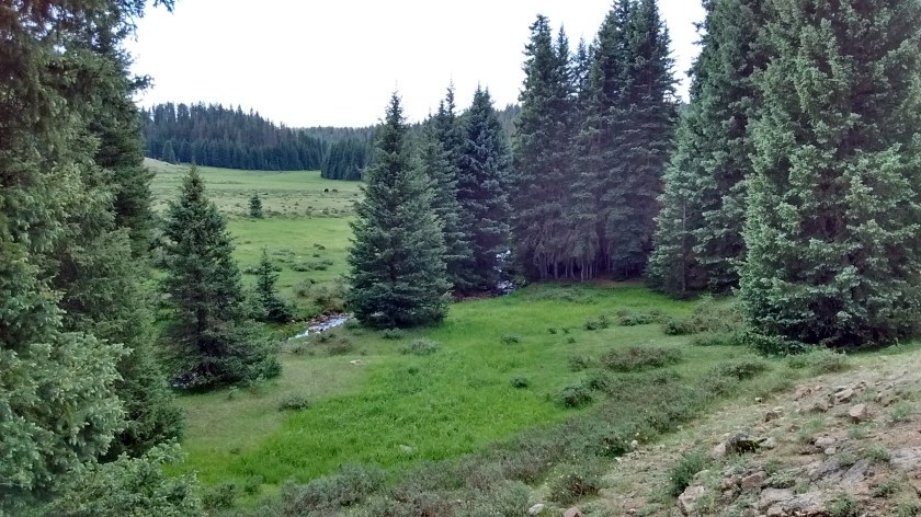
The first day’s hike had a steep uphill climb at the beginning, but after that it was a fairly level trek along a ridge, through green meadows and lush marshlands. The word “parks” in the name of this area refers to open grasslands in a setting of mountains and forests. That is an accurate description of what you see in most of the San Pedro Parks Wilderness. The average elevation is 10,000 feet, but there aren’t dramatic mountain peaks or panoramic views of the surrounding countryside. After spending time in the summer heat of the desert, though, our eyes were thrilled at the views of tiny streams flowing through acres of green grass, surrounded by forests of aspen and spruce-fir.
On the second day we did a hike that was a much steeper climb. It was 4 miles of continual uphill, starting at about 8,000 feet of elevation and ending at 10,200. For most of the way, the trail followed a small stream, crossing and recrossing it several times. The climb was well worth it once we got to the top, where we then walked for about another mile through the grassy meadows that surround the Rio Puerco before we decided it was time to turn around. It would have been nice to keep on that part of the trail but we decided it was time to turn around after we had our lunch and then heard the rumble of thunder in the distance. We didn’t want to have to drive our car back down the dirt road that would have been quite messy with any amount of rain. As it turned out, the rain didn’t develop.
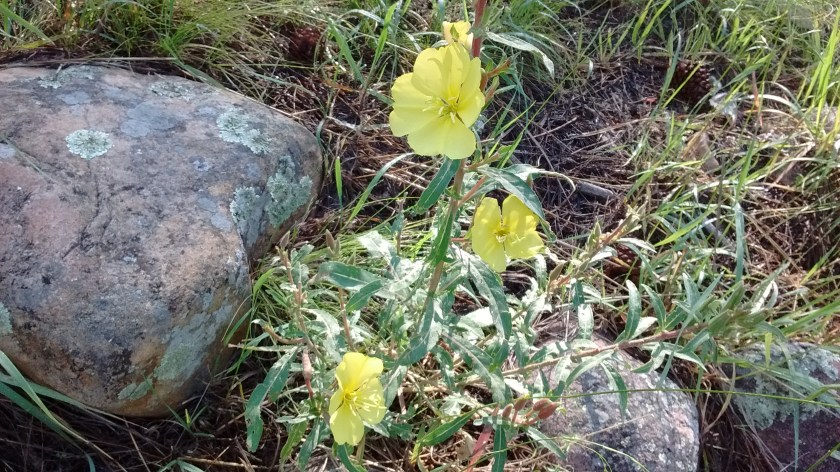
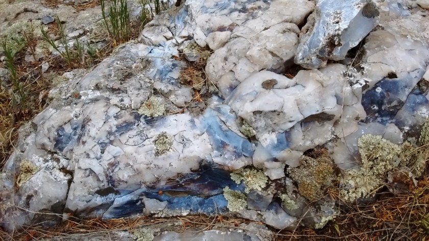
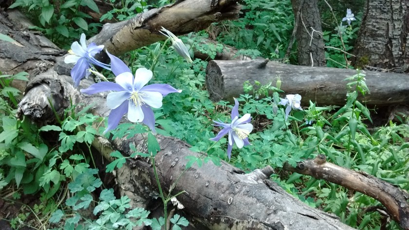
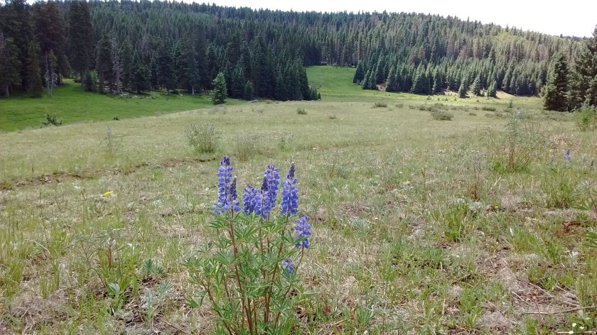
The peak on the far horizon is Redondo Peak in the Valles Caldera National Preserve.Golden Pea in foreground.Wild iris fill the marshy areas. Most were faded by this time of year.We saw an elk running across one of the meadows.Several parts of the trail have striking rock outcrops of blue granite.The start of the second day’s hike was this peaceful setting, crossing the little stream, not realizing how steep the climb was going to be as we followed the stream up the mountain.Wood’s Rose were some of the largest blossoms I’ve ever seen.Not a lush waterfall like you might see in the Pacific Northwest, but in New Mexico we take what we can get.Thimbleberry blossoms. If we come back later in the summer we could feast on thimbleberries. They were everywhere on this trail.