There’s Something Fishy Here

IMG_20140625_134641001

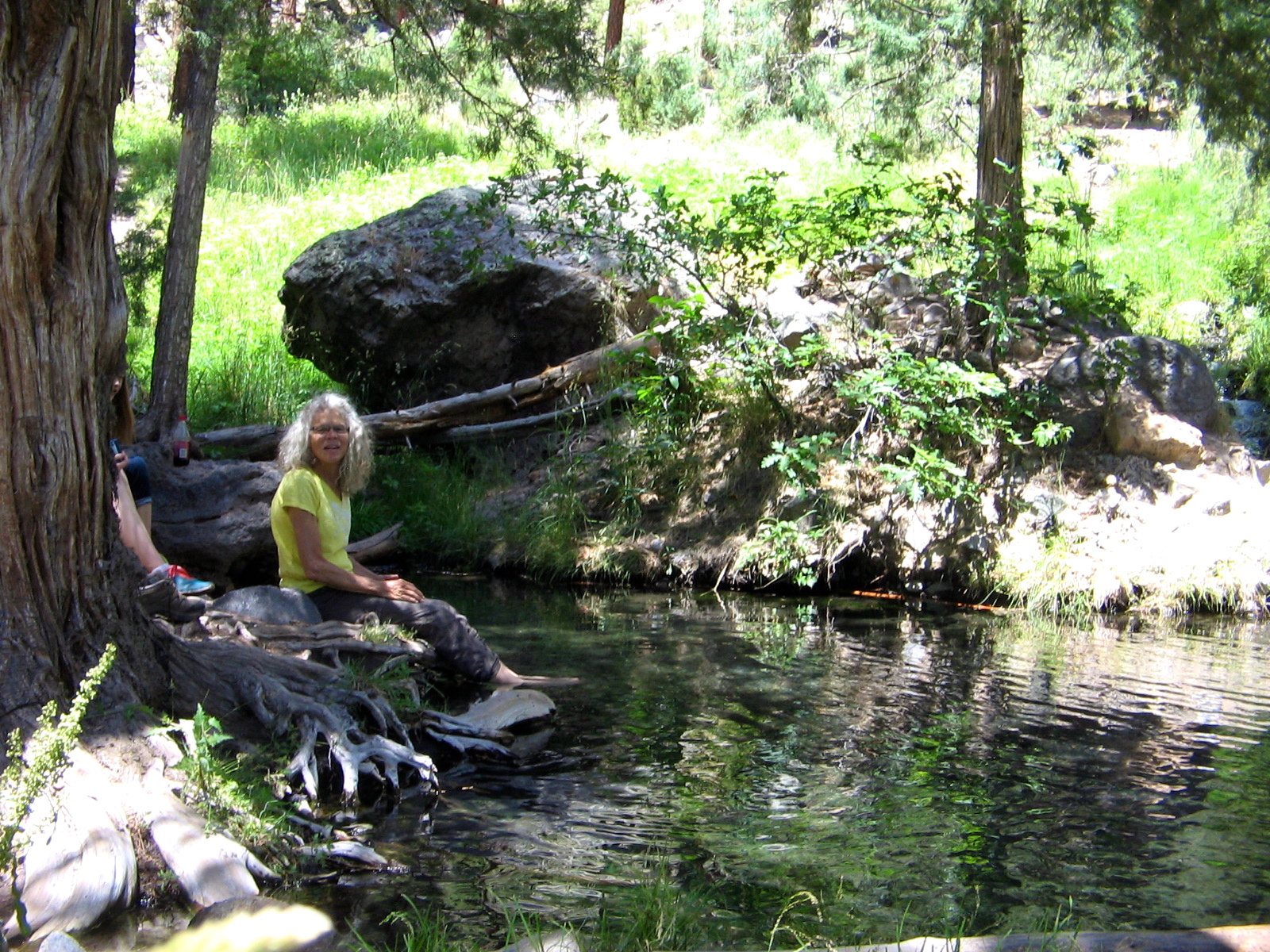
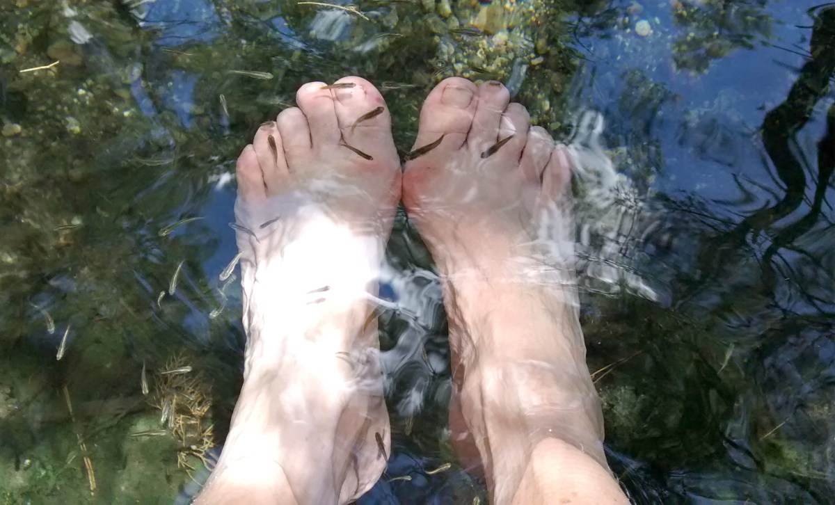
My feet are soaking in the refreshing waters of McCauley Warm Springs. There are some strange-looking black things over my toes and surrounding my feet in the water. Those are tiny little minnows that were swarming in the pools at the spring. Not only did the water sooth my tired hiking feet, but I also got tickling massages as the curious fish nibbled my toes!

There’s been nothing fishy about the spectacular weather that has accompanied us this week on our outings. Some might complain that the temperatures are too hot, but Monday and today our hikes were in the mountains, where it’s at least 10 degrees cooler than Albuquerque. And yesterday we rode the Rail Runner Express up to Santa Fe, which also is cooler than Albuquerque.

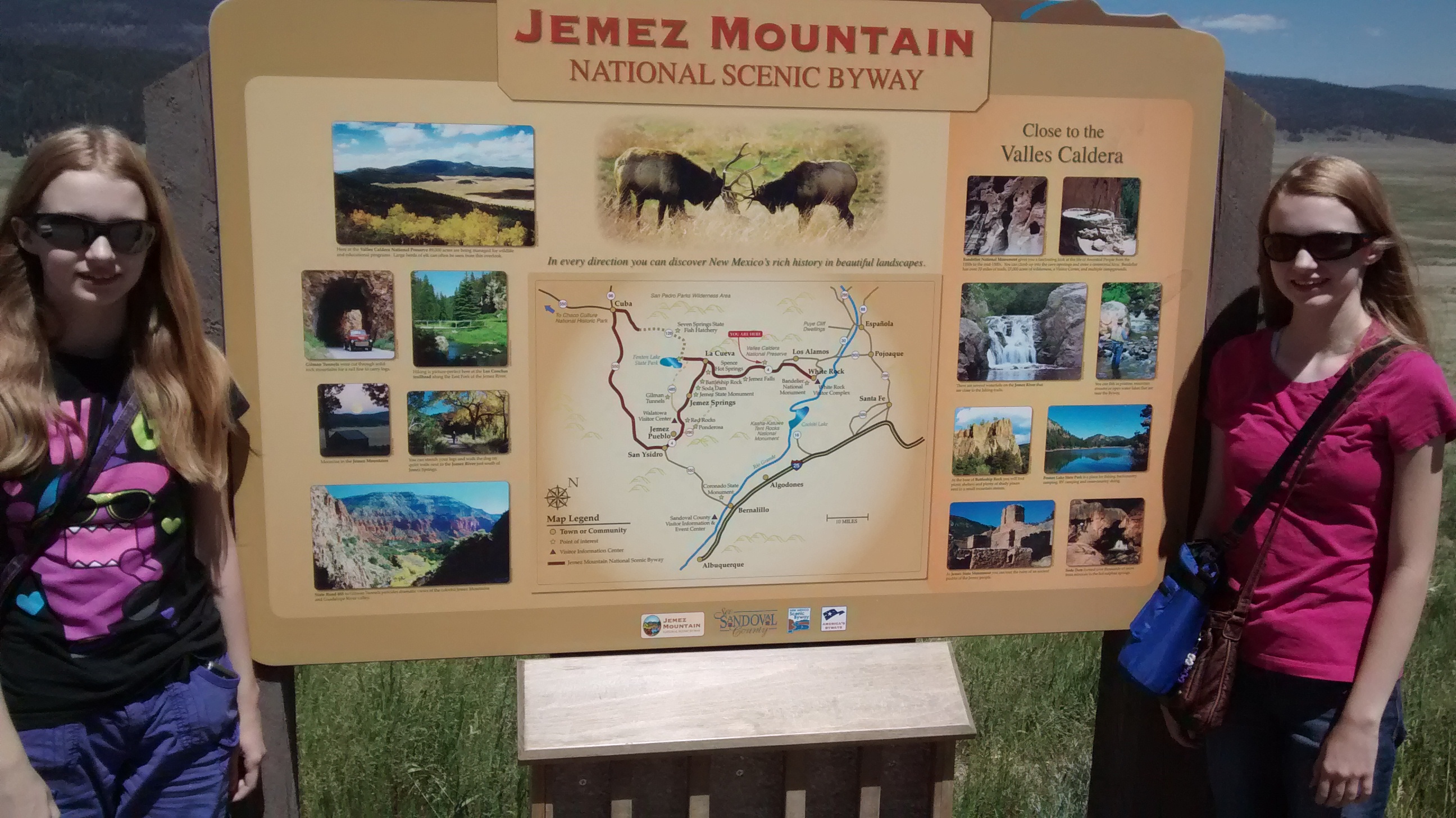
Monday we explored the crest of the Sandia Mountains, which are immediately to the east of Albuquerque. Today we drove into the western edge of the Jemez Mountains, which are north of Albuquerque, but not as close as the Sandias.

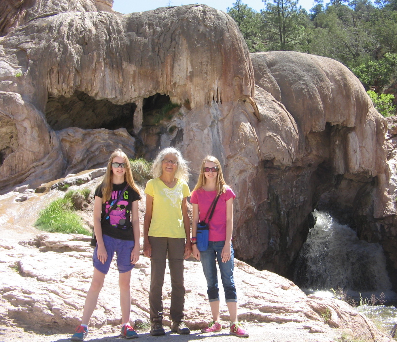
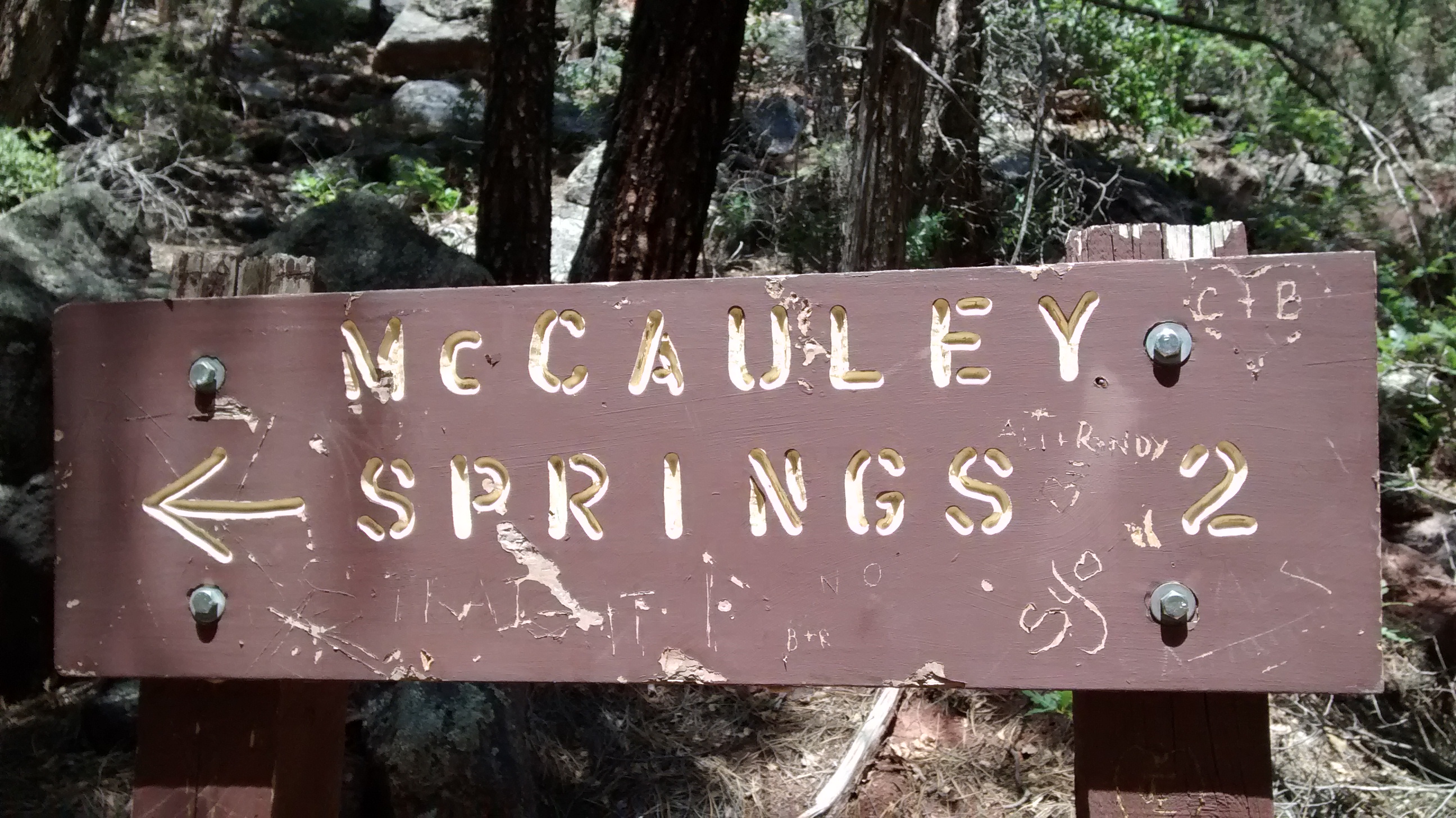
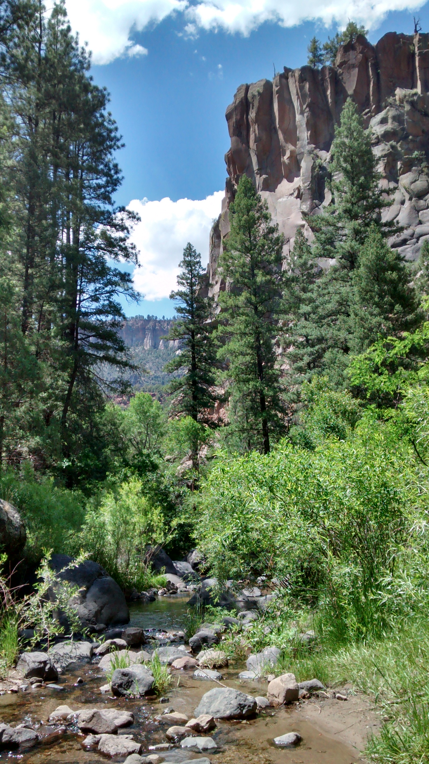
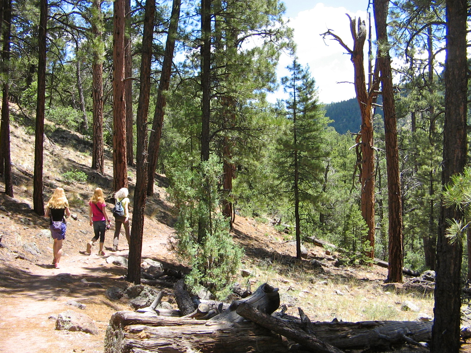
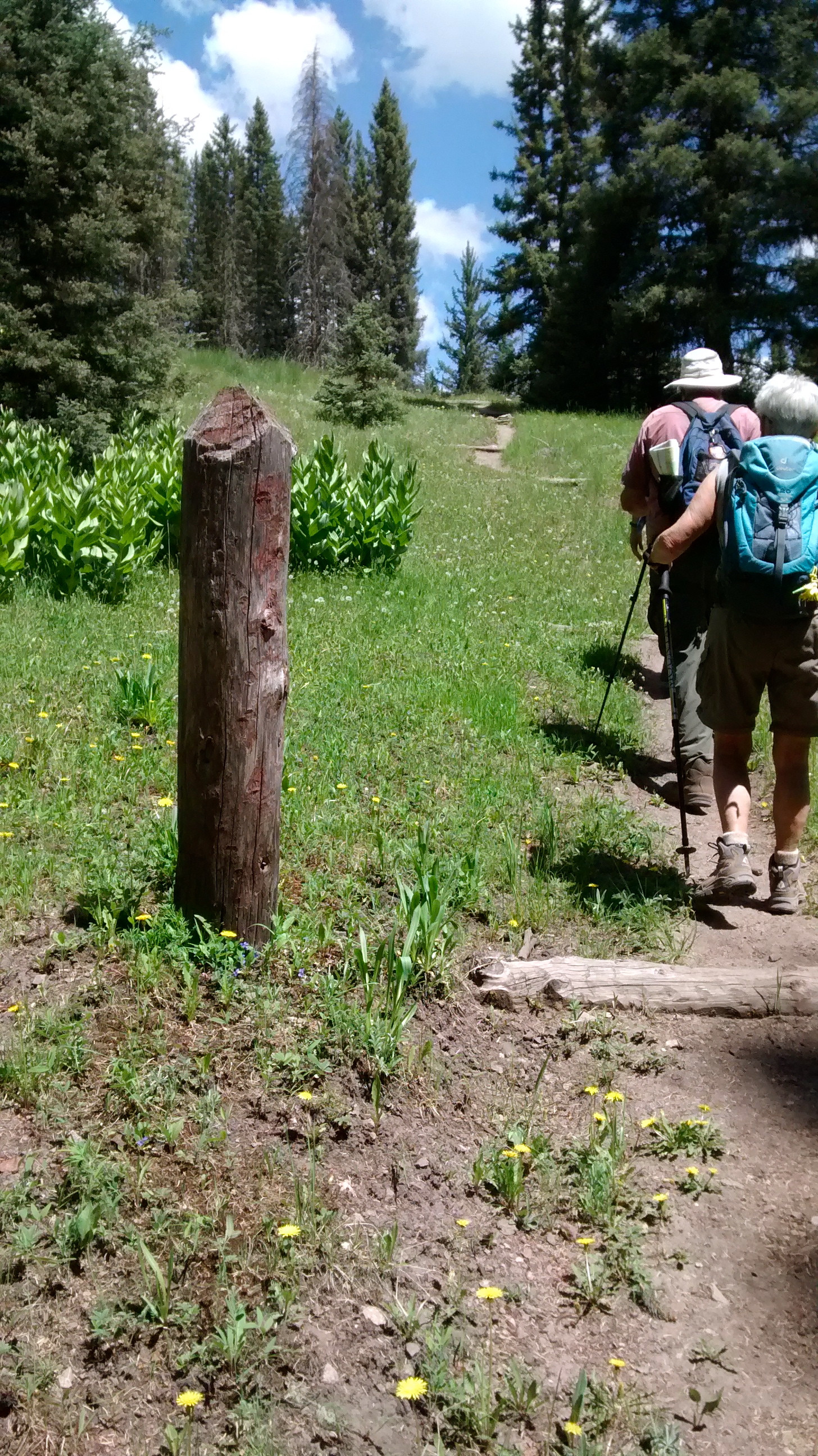
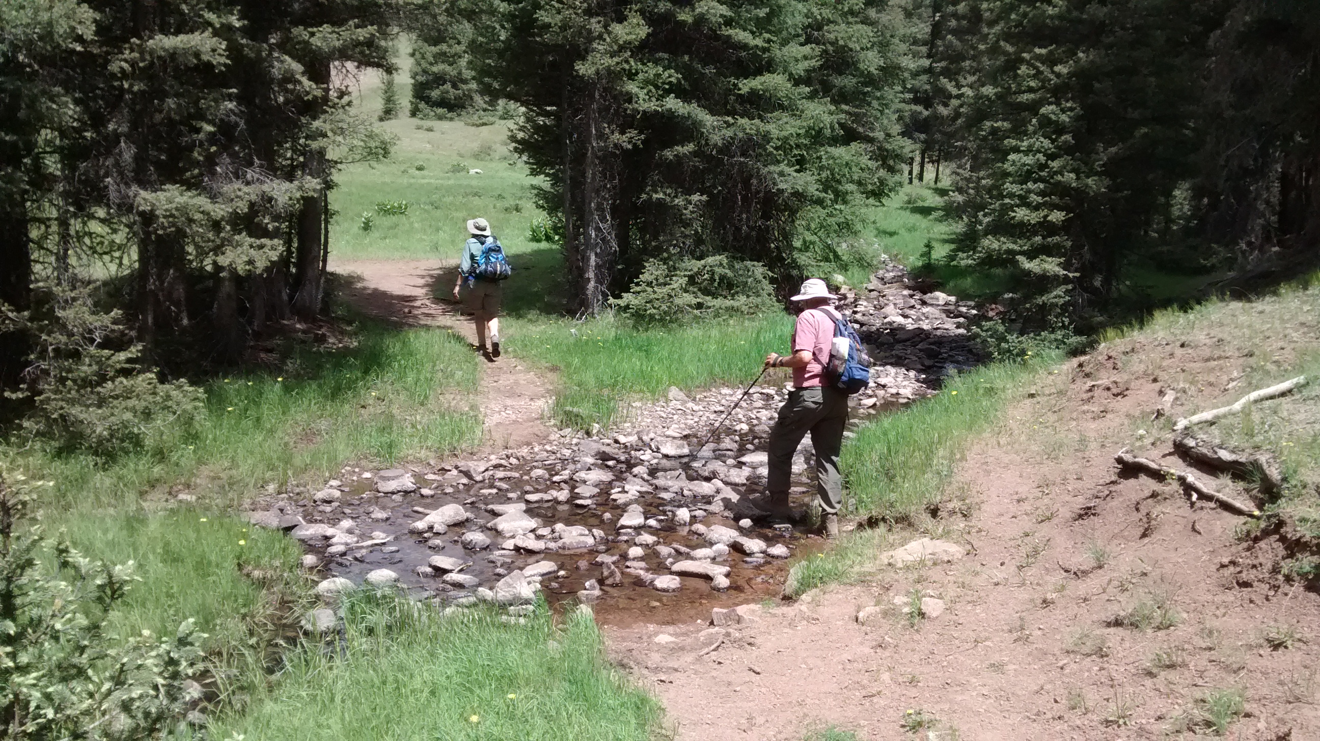
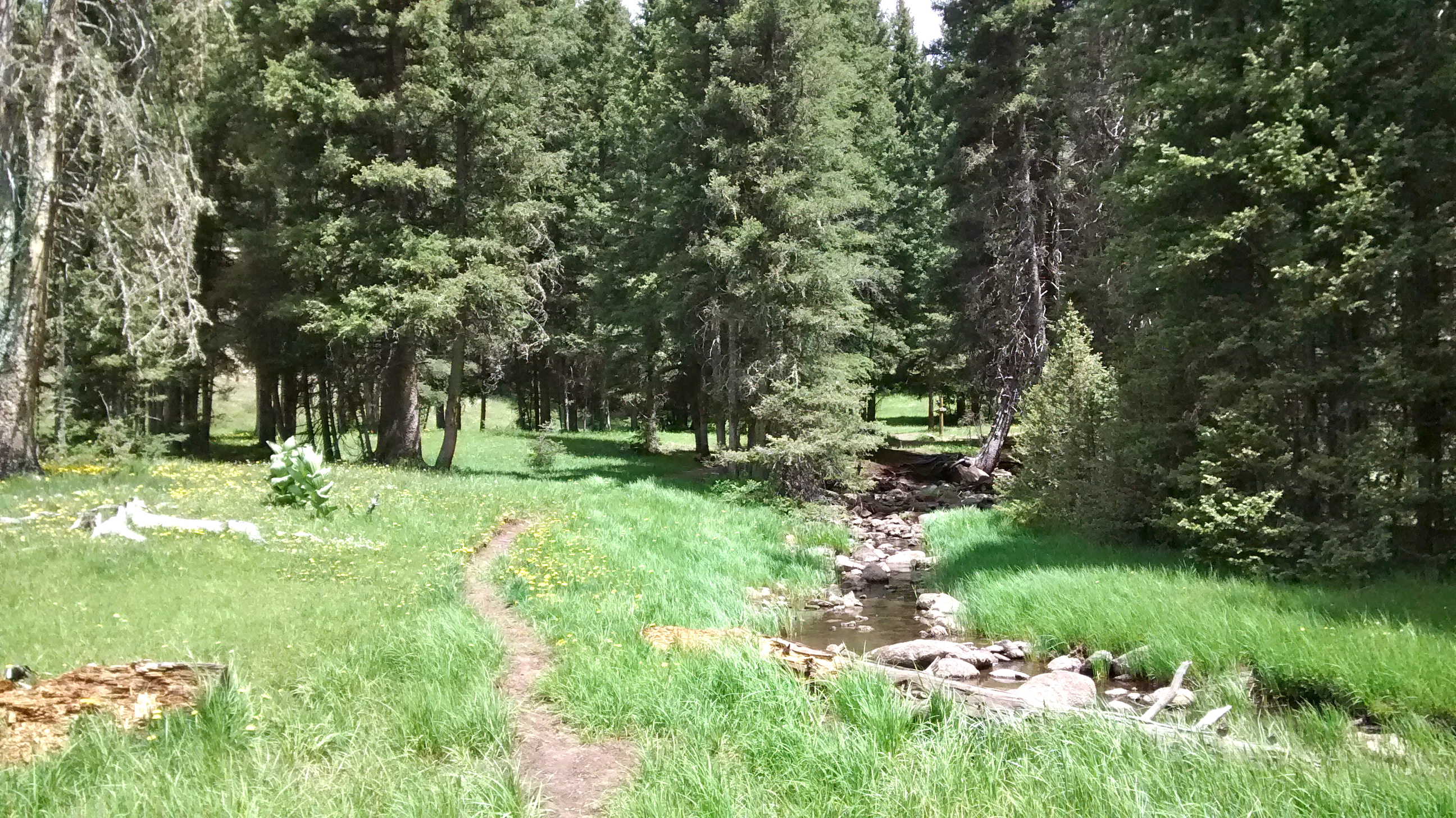
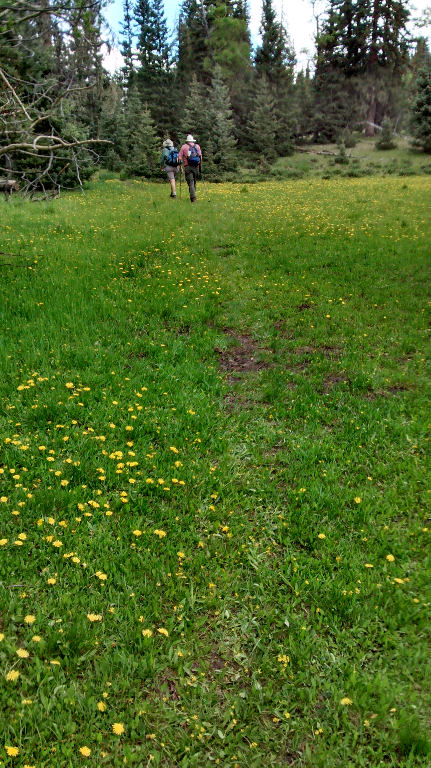
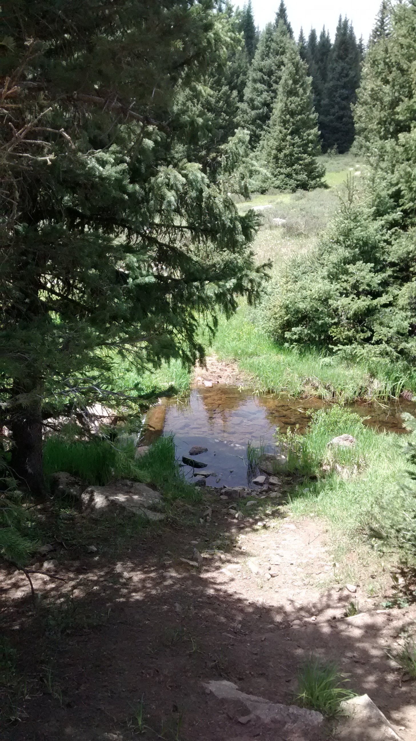
After driving as far as the boundary of the Valles Caldera, with a stop at Soda Dam, we backtracked to the Battleship Rock Picnic Area. Beneath this towering rock formation, the East Fork Jemez River and San Antonio Creek converge to form the Jemez River. A two-mile hike up the East Fork leads to McCauley Warm Springs, which was the destination for our hike today. We had never been on this trail before and didn’t realize that it was 2 miles of continuous uphill. But the girls trudged right along and didn’t complain at all. Our efforts were rewarded when we reached the refreshing spring. And we knew that it would then be all downhill to get back to the car.

Behind us is Soda Dam, a large deposit of calcium carbonate that has built up from a spring that bubbles to the surface.
Behind us is Soda Dam, a large deposit of calcium carbonate that has built up from a spring that bubbles to the surface. Jemez River to our right as it flows under the dome.
A stop along the way on our drive through the Jemez Mountains.
That's one heck of a big cottonwood tree!
That’s one heck of a big cottonwood tree!
Our destination on the East Fork Trail.
View of Battleship Rock

IMG_20140625_125951213

IMG_7734

We continue to come across wildflowers that we can't identify.
We continue to come across wildflowers that we can’t identify.
Some tall trees.
Some tall trees.
One of the pools at McCauley Warm Springs.

Why It’s Important to Preview a Hike

IMG_20140617_094306456_HDR
I was invited today to tag along with 3 leaders from the Albuquerque Senior Centers’ Hiking Groups on a hike in the San Pedro Parks Wilderness Area. One of the ladies was scheduled to lead the hike there next week. She was not familiar with the trail, but she knew that Sue was familiar with the area and could also give her some pointers on how to use her GPS device. Driving to the trailhead, about 10 miles from our destination parking spot, we encountered the above sign. We knew right away that it had been a wise decision to preview the hike the week before the senior’s group with a van full of unsuspecting hikers would run into this roadblock.

The leaders put their heads together and consulted their Santa Fe National Forest map and came up with an alternate plan. We did some backtracking and found another trailhead that is used by the group on other hikes. Not only did we get a beautiful 7.5-mile hike out of the deal, but the leader collected the GPS data, the driving data, and a hike description that can be used to create a new hike for the seniors to do in this area.

I was amazed at how green everything was in the surrounding forests and meadows. The wildflowers were out in abundance. A couple of times we could hear the sounds of a nearby elk herd, and at one point, we even spotted a couple of mothers and their calves at the edge of a meadow making their way up a wooded slope. I’m thankful that I was invited to tag along and learn about this part of the Santa Fe National Forest. Lee and I will definitely be adding this to our list of wonderful hiking opportunities in the Albuquerque area.
IMG_20140617_104014212

IMG_20140617_104055996

IMG_20140617_105730769

violets
violets

IMG_20140617_113706993

IMG_20140617_114034771_HDR

IMG_20140617_114733443

IMG_20140617_114849591

shooting star
shooting star

IMG_20140617_124542764_HDR

IMG_20140617_125221768_HDR

IMG_20140617_131327200

burnt orange dandelion
iris
iris
IMG_20140617_131953108
Our turnaround point at the Rio De Las Vacas where we sat by the stream and had our lunch.

GPS Track on Every Trail