Cerro Grande Revisited

IMG_20140828_115748796_HDR
Pile of rocks marking Cerro Grande summit.

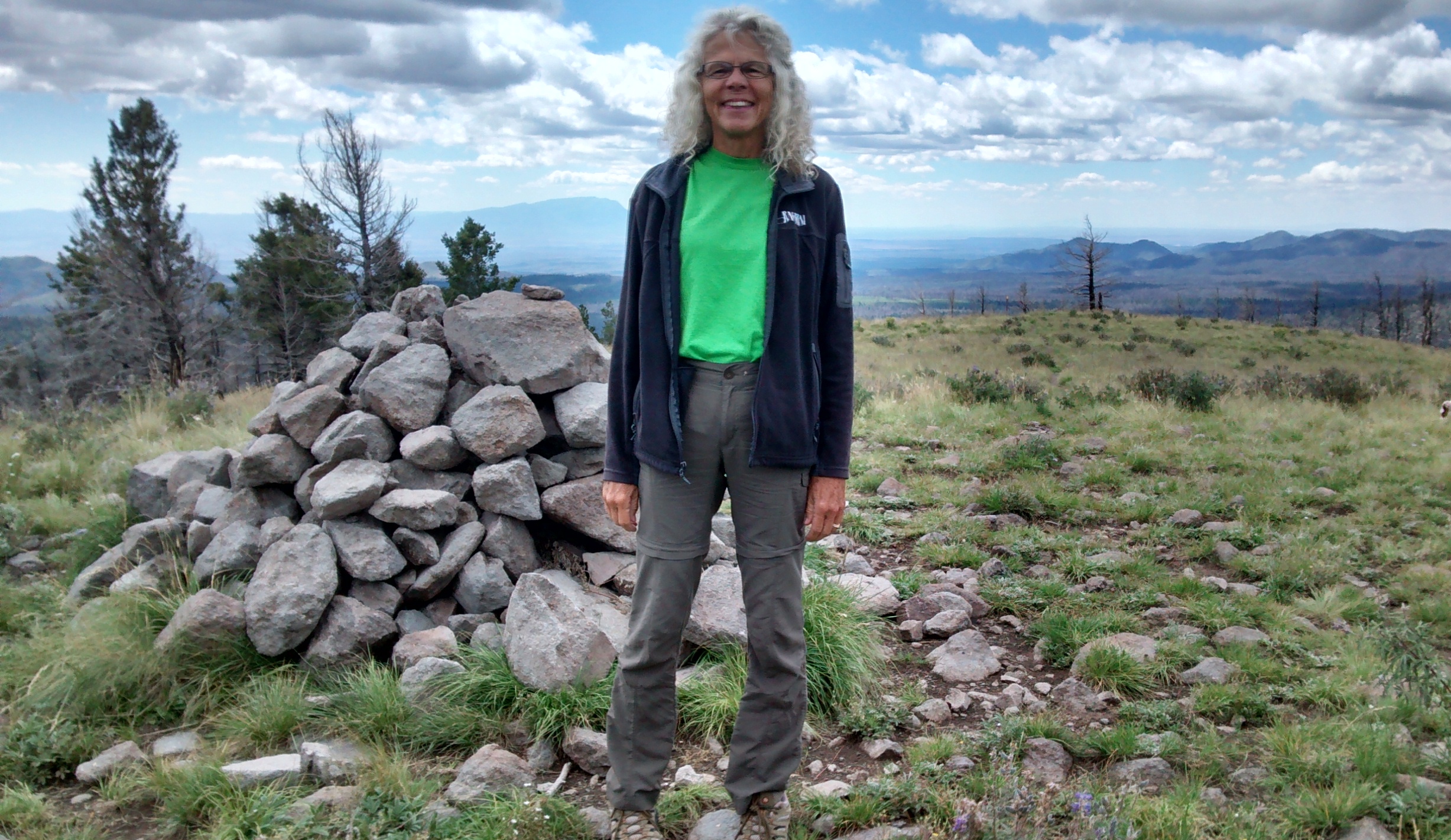
Yesterday when we discussed a hike to the Cerro Grande summit, the highest point in Bandelier National Monument, we realized that it had been almost exactly one year ago that we first did this hike.
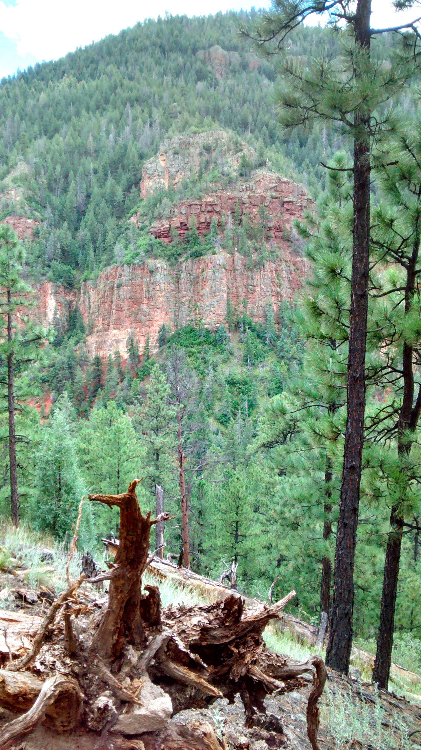
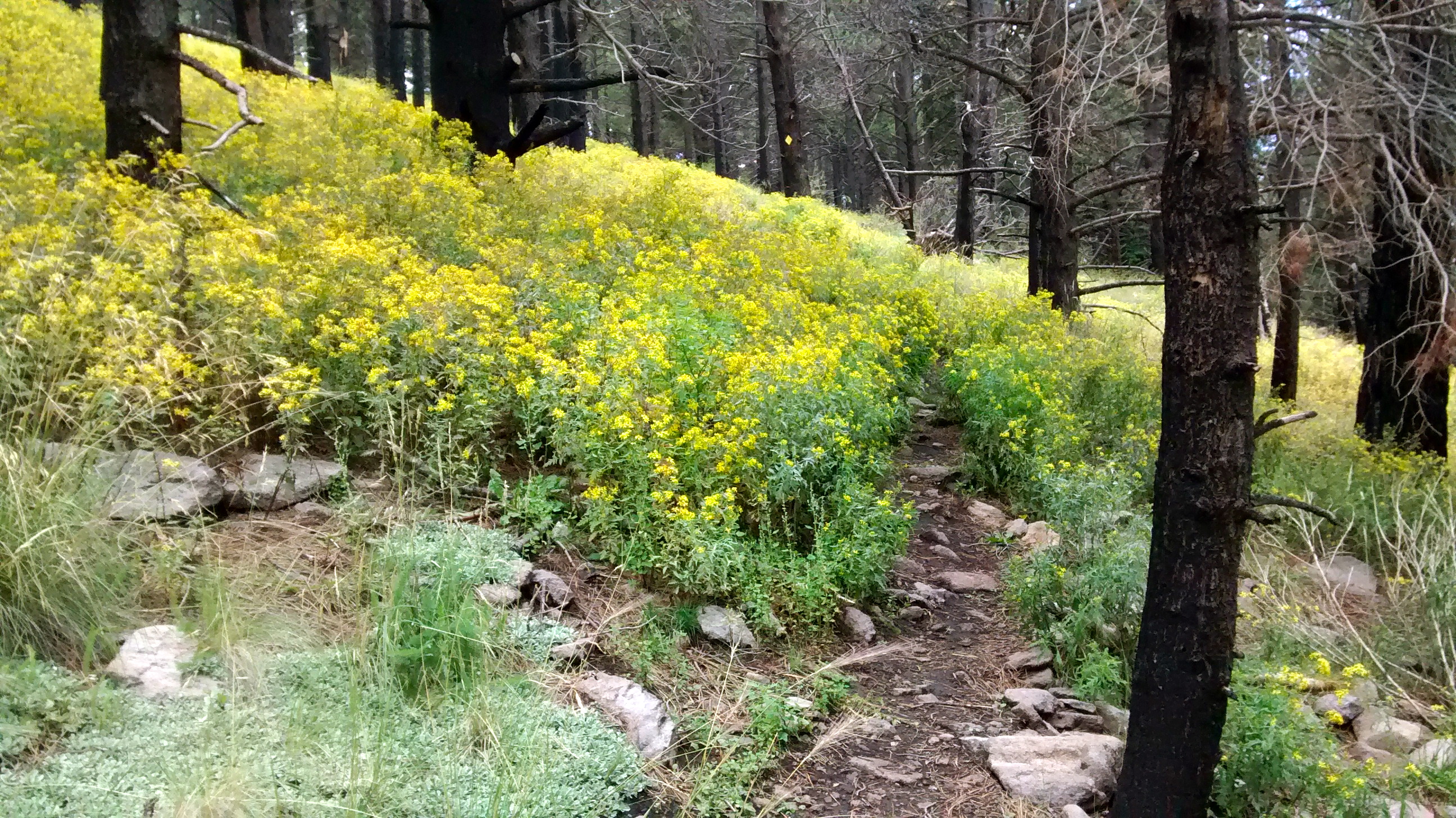
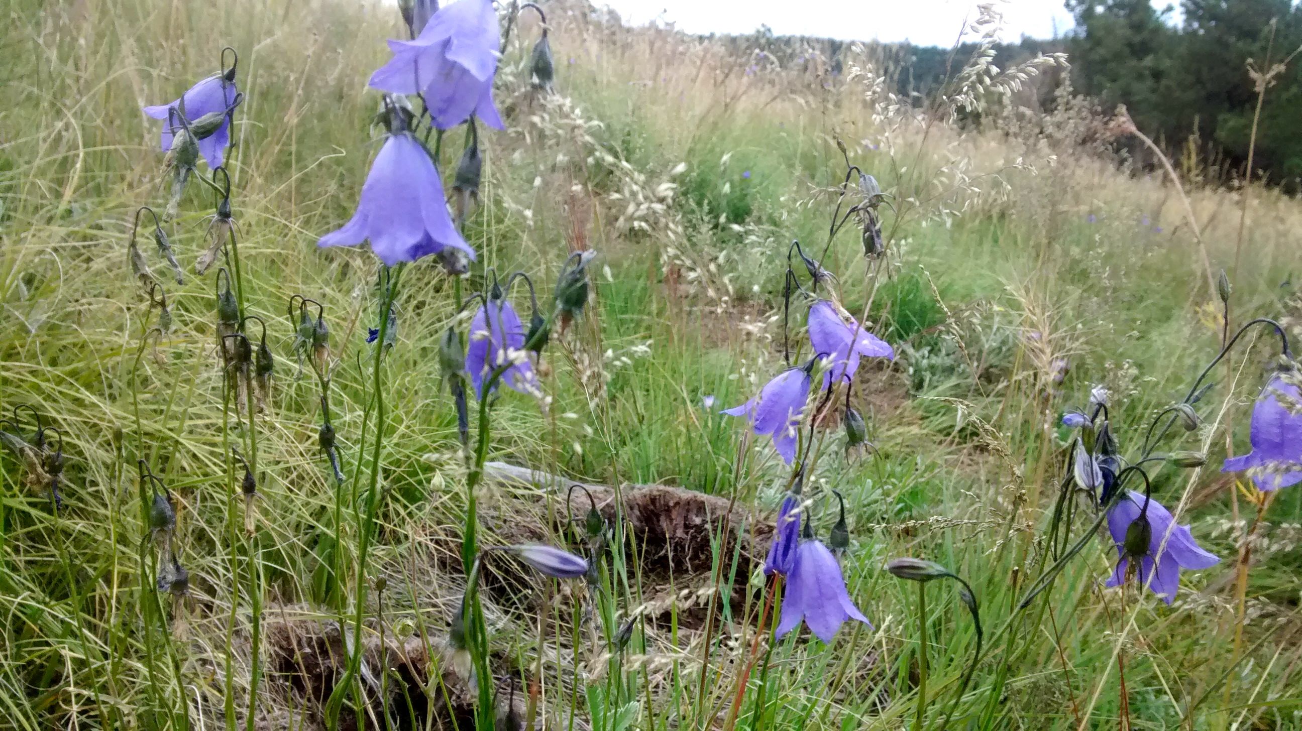
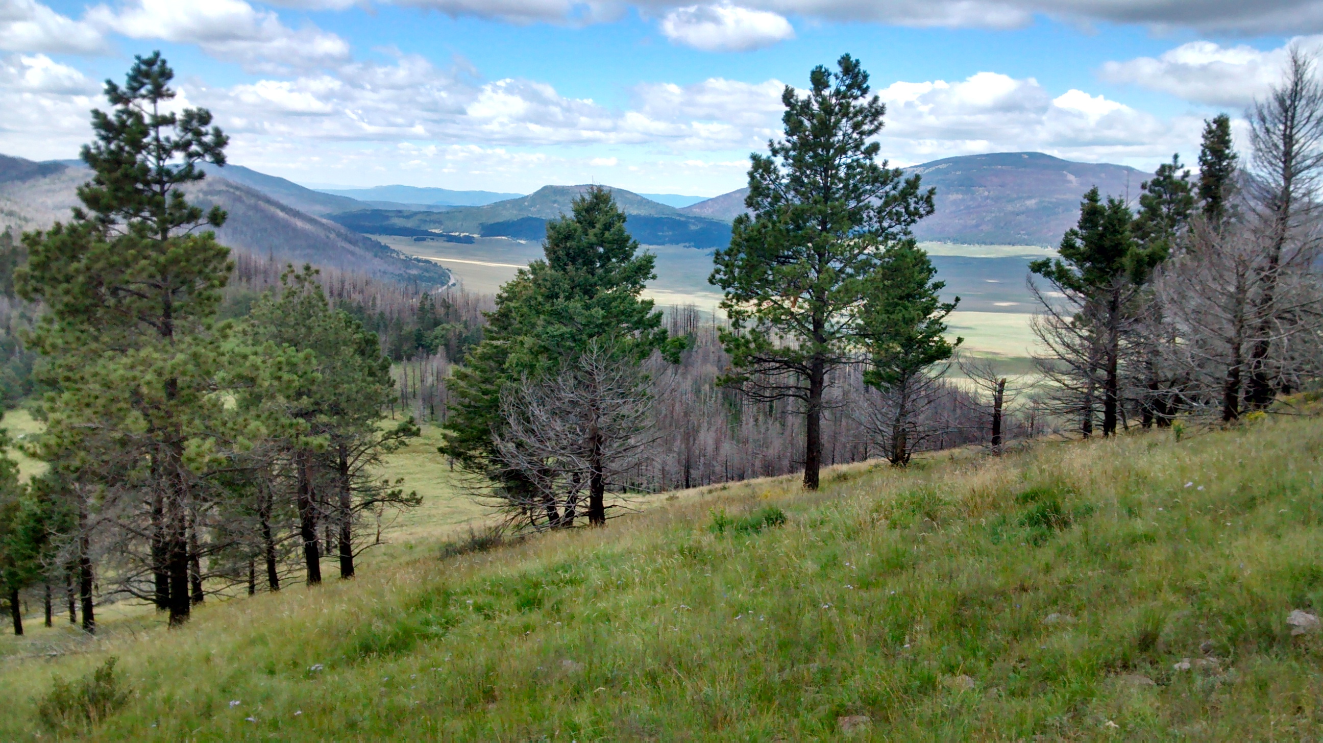
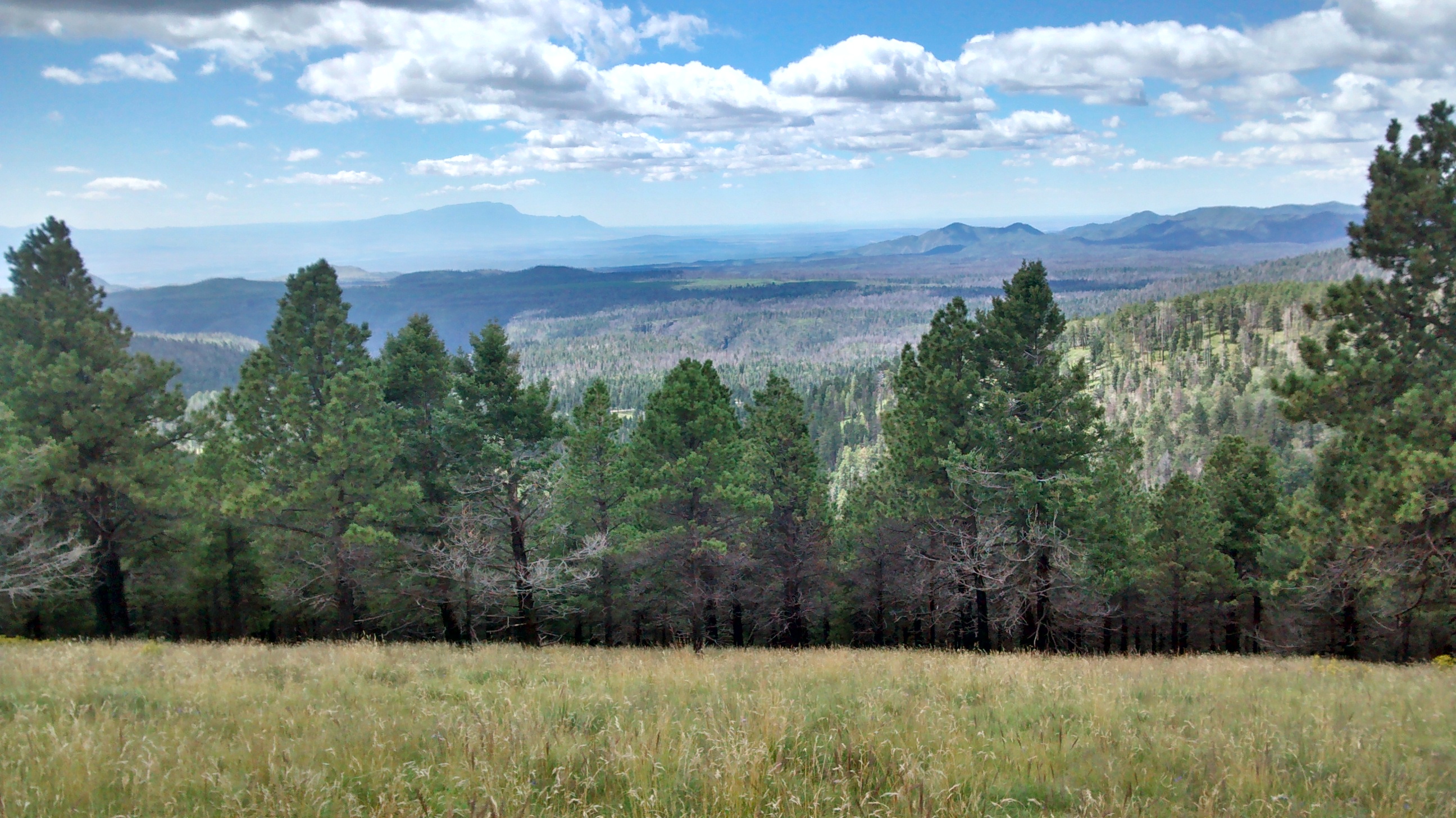
This is certainly not a challenging hike, and because of the huge 2011 Las Conchas forest fire in the surrounding area, one could also say that the scenery leaves a lot to be desired. While it is true that the burn scars detract from many of the views at the top, there is still enough awesome beauty to make the 2-mile hike to the top more than worth it.

Patches of bright yellow wildflowers contrasted with blackened tree trunks.
Harebells, some of my favorite wildflowers, were everywhere.
Trudging upward.
Trudging upward.

View towards the Valles Caldera, showing some of the burned areas in the background.

View east towards Los Alamos

View south towards Frijoles Canyon and Bandelier National Monument Visitor Center.

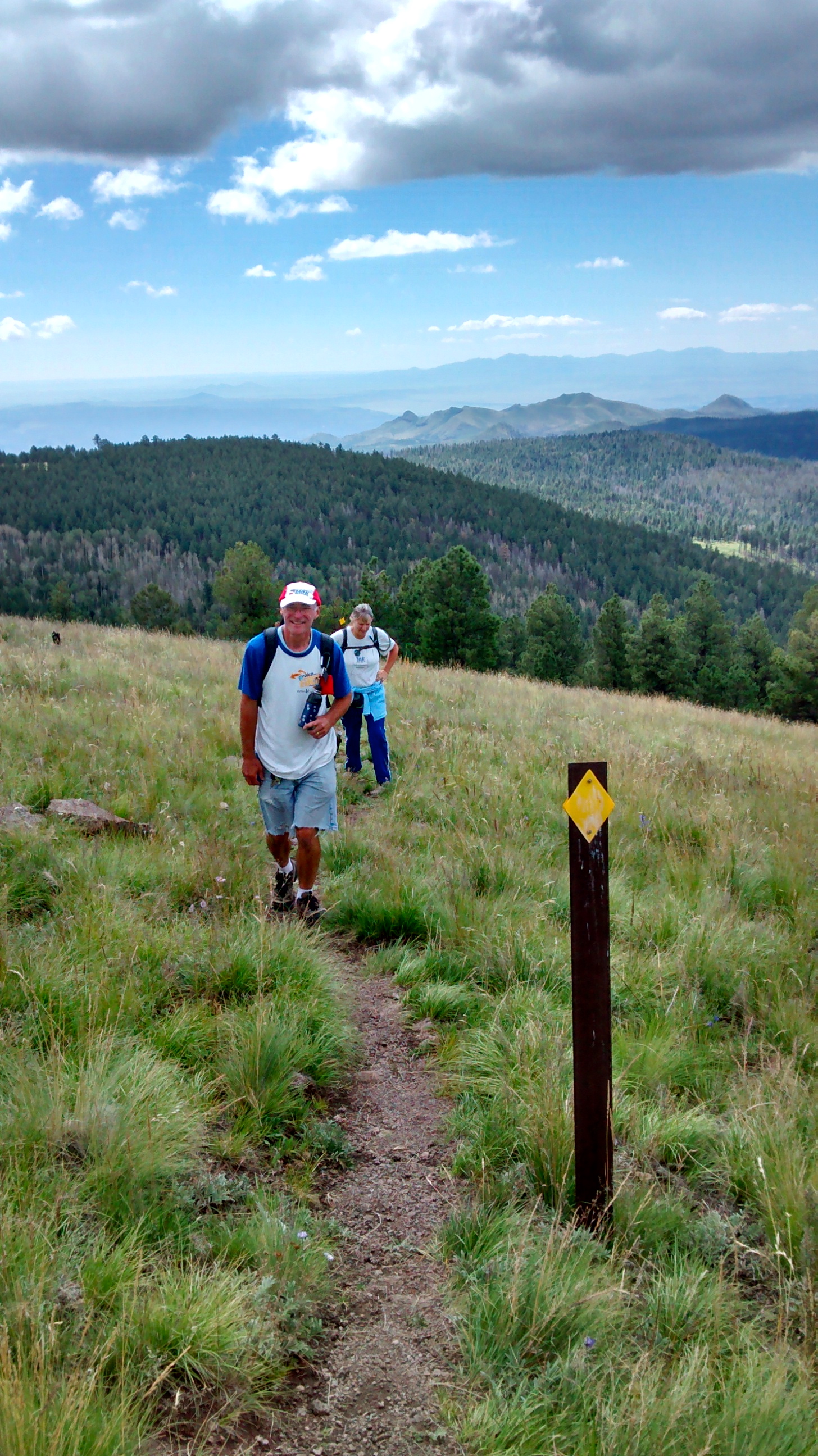
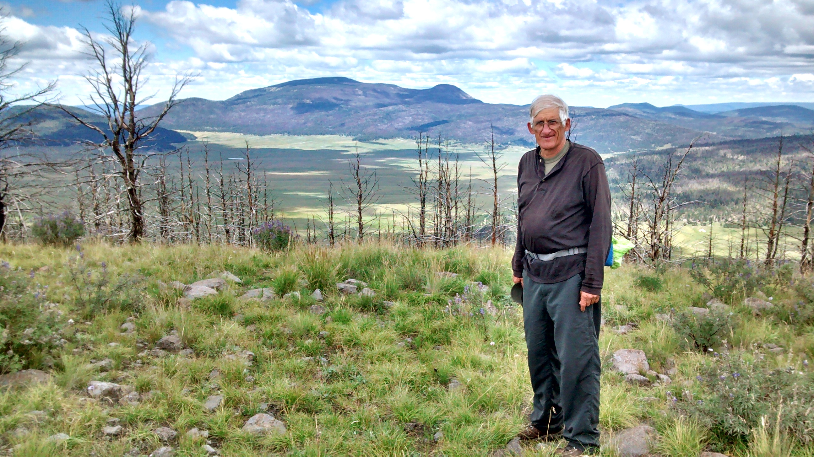
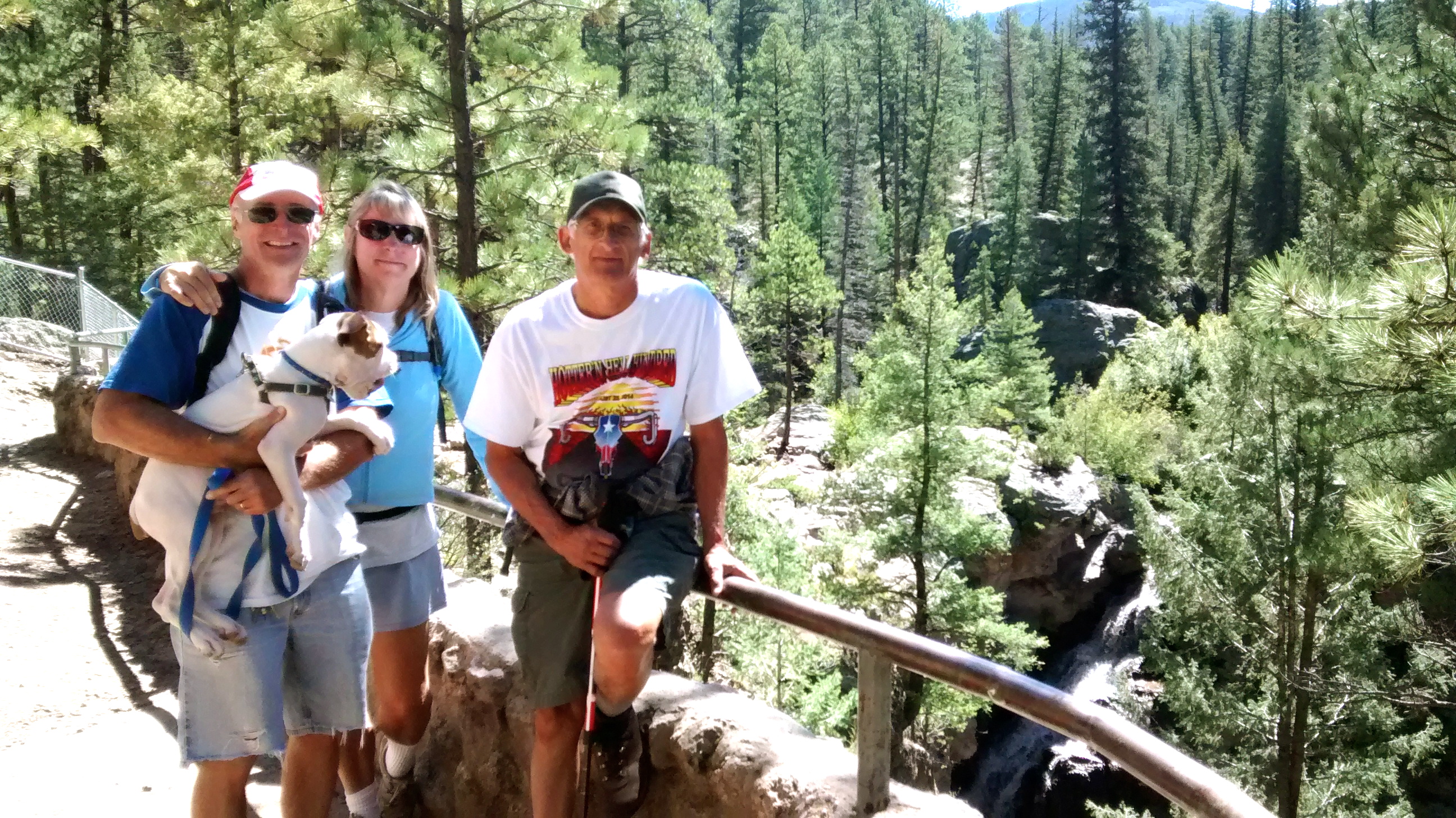
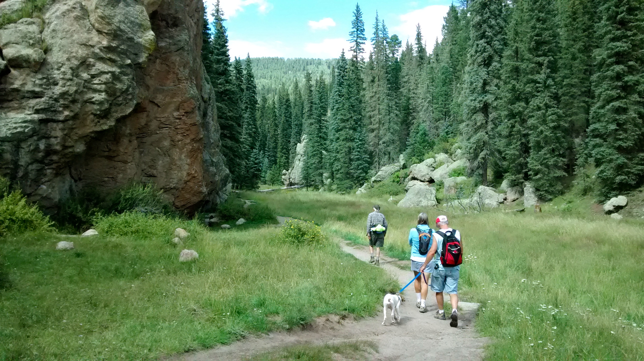
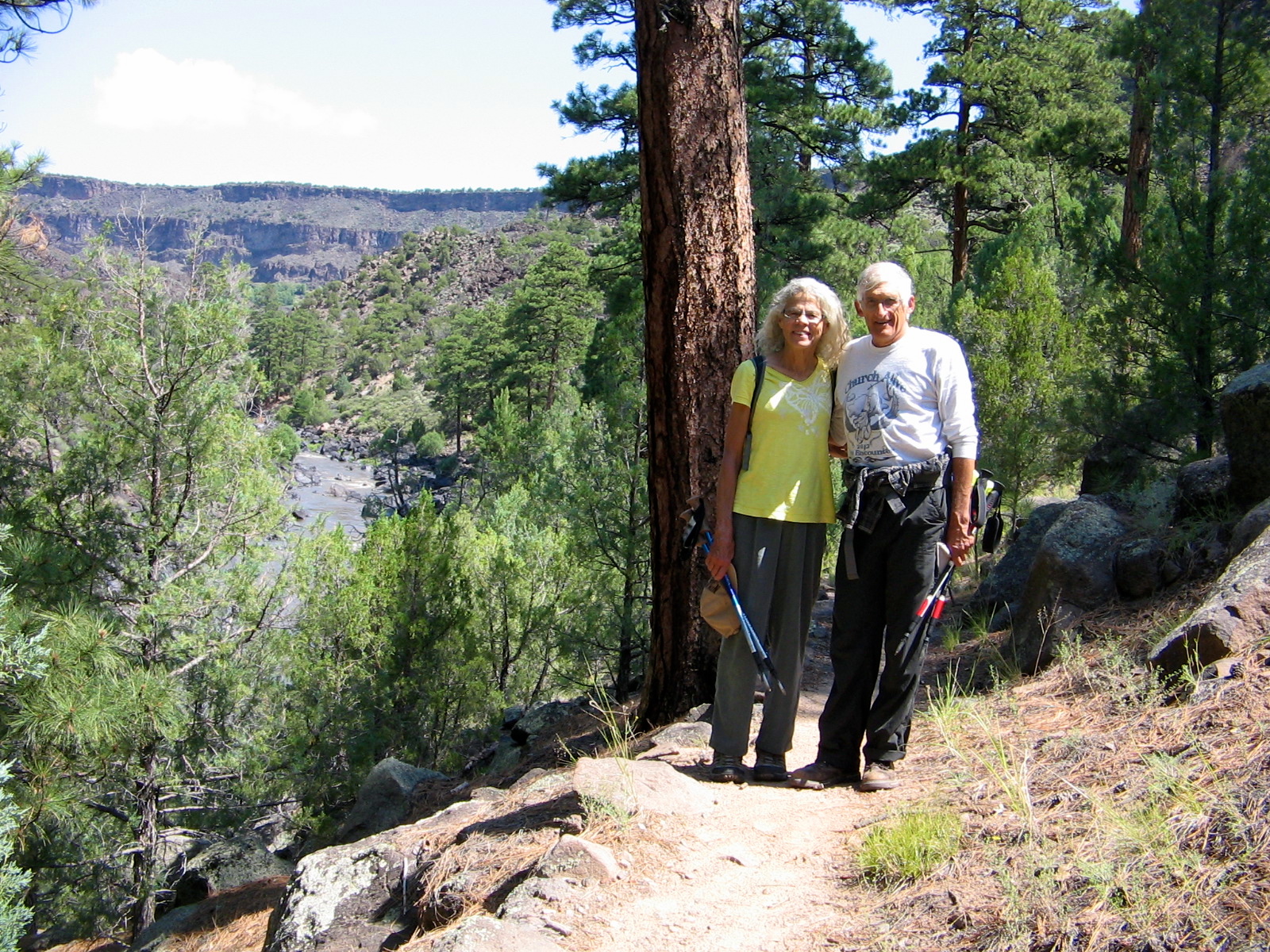
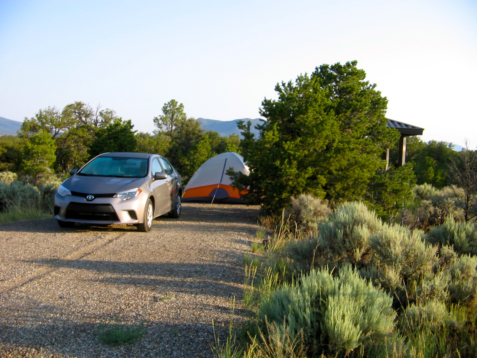
Another reason for wanting to revisit Cerro Grande was to share it with our two friends who have recently moved to New Mexico and are anxious to enjoy all the natural beauty this part of the state has to offer. The four of us had camped overnight last night at the Jemez Falls campground. The trail to Cerro Grande is near Jemez Falls, actually on the road that they would be taking back to their home in Espanola.

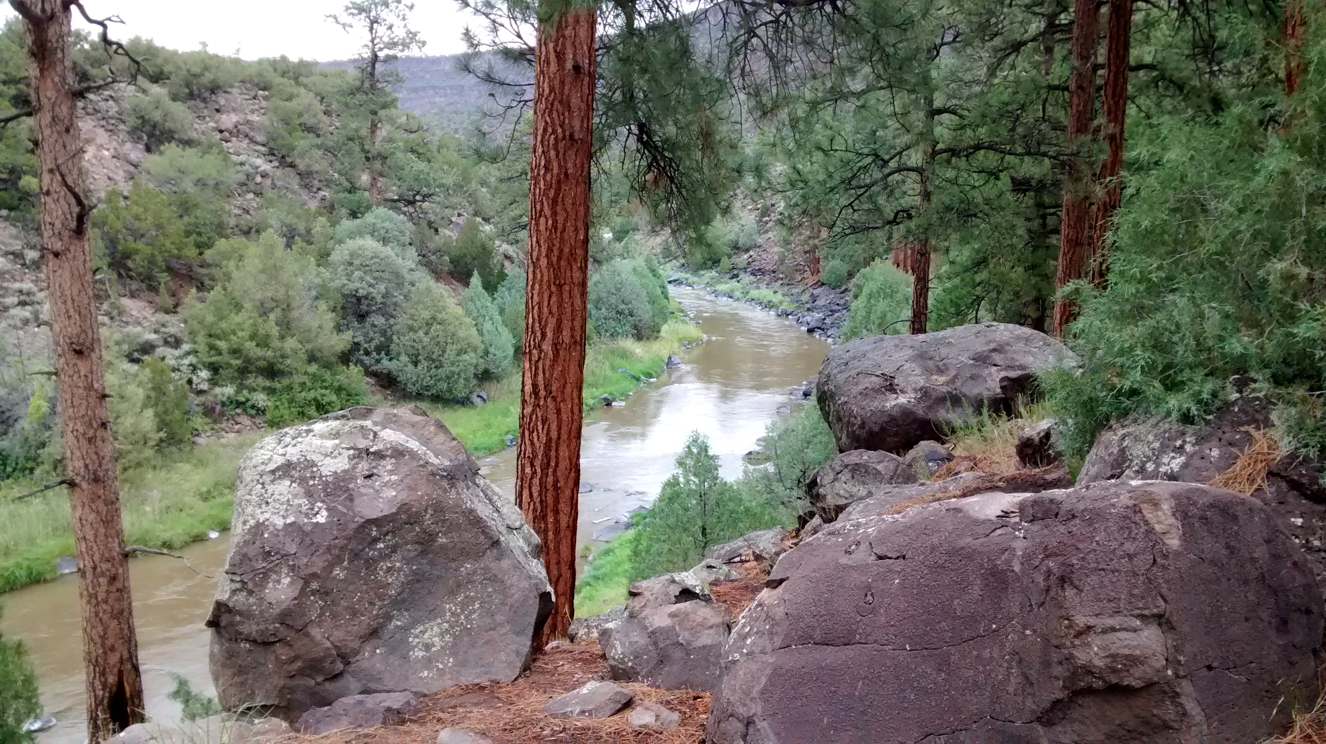
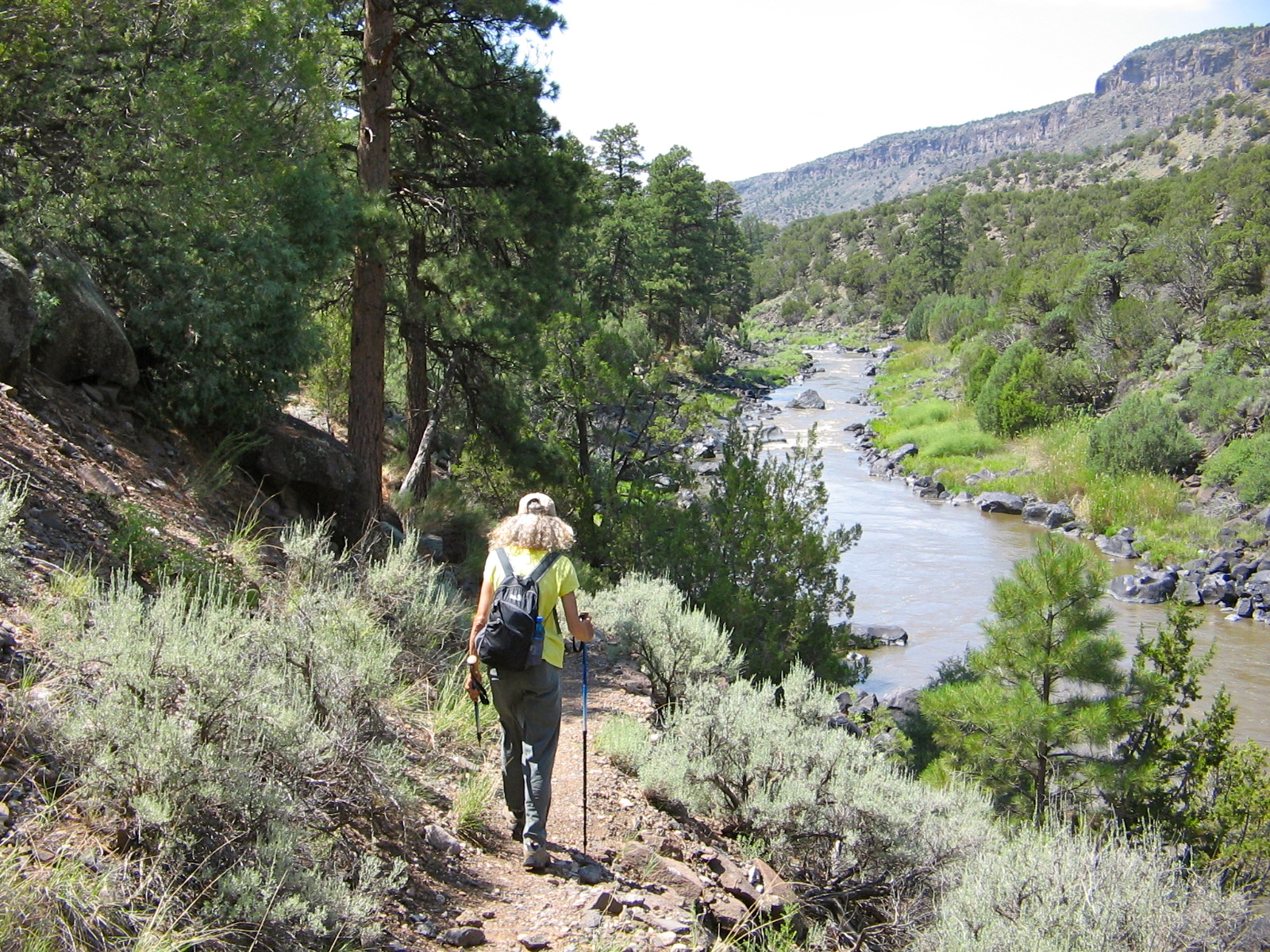
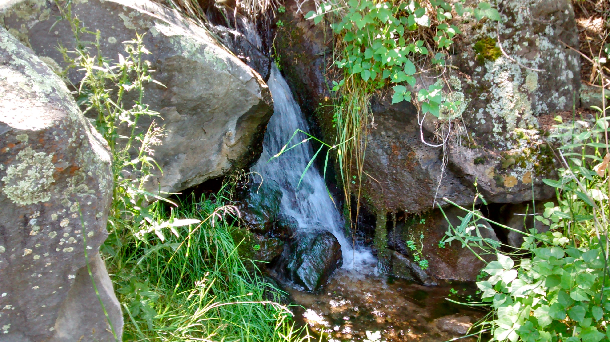
Yesterday we had enjoyed hiking with them on 2 different sections of the East Fork of the Jemez River trail. We first went the 2 miles down to the McCauley Warm Springs and back up. Then a short drive took us to the Las Conchas trailhead where we walked for a mile or so along the river, before backtracking to get back to the camp for dinnertime. Both days of hiking were enjoyed by all and we look forward to many other enjoyable hikes together.

Jemez Falls overlook

At McCauley Warm Springs.
On the trail from Jemez Falls to the springs.
The East Fork of the Jemez trail near Las Conchas trailhead.
Many interesting mushrooms.
A sample of one of many interesting mushrooms brought to life by recent rains.

A Grand Gorge

NM Highway 68 between Taos and Espanola parallels the Rio Grande River and offers glimpses of the river and the huge gorge it has carved in the landscape.  I knew there was a lot more of this area that I wanted to see than just the time or two that we had driven by it on the highway.  This week we made a one night camping trip to the Wild Rivers area of the Rio Grande Del Norte National Monument.  This gorgeous upper section of the Rio Grande Gorge was grand indeed.

At this point on the Rio Grande, the scenic Red River empties into the Rio Grande.  The only way to access the point where the 2 rivers join is to hike down the steep basalt cliffs that form the canyons of the rivers.  There are several well maintained trails for getting down to that point, as well as other points along the rivers.

After a chilly night sleeping in our tent in the very quiet and peaceful campground that sits atop the Taos Plateau on the edge of the gorge, we were more than ready to begin our trek down into the gorge. We headed towards La Junta Point, the spectacular overlook that gives a birds-eye view of the confluence of the two rivers.

VIew of Red RIver in gorge below.
Overlook at La Junta Point.  800 feet below is the point where the Red River joins the Rio Grande River.
Overlook at La Junta Point. 800 feet below is the point where the Red River joins the Rio Grande River.
Starting down the La Junta Trail to the bottom of the gorge.

The trail was steep and rocky but with the built-in staircases along the way it wasn’t that difficult to get down. I would have been quite a climb to go back up that way!

IMG_20140717_091805447_HDR
One of the staircases on the La Junta Trail.
IMG_7787
The rocky point behind me is La Junta Point where we started down the trail.
Red River flowing in from the left--notice how clear and blue its water is, compared to the muddy Rio Grande.
Red River flowing in from the left–notice how clear and blue its water is, compared to the muddy Rio Grande.

After enjoying some time at the water’s edge we continued our hike by following the trail upriver along the Rio Grande. I found it interesting that the trees here were Ponderosa Pines, while the vegetation at the top was piñon and juniper. Usually when we hike it is the Ponderosa that replaces the piñon and juniper as you hike to higher elevations, not as you hike lower. This sign explained it well.

A Reverse Ecosystem
A Reverse Ecosystem
Ponderosa Pine along Rio Grande.

IMG_7793

Two of us.

Before beginning the climb back out of the gorge we walked to a small spring that flows out of the canyon walls. The trail that we then took back up came out on top of the plateau at the campground where we were staying. We had taken that trail down and back up the evening before so we knew what to expect. Not an easy one-mile section left to hike, but at the end we were more than ready to sit at our picnic table in the shade and enjoy our well-earned lunch break.

Campsite at Wild Rivers Recreation Area.
Little Arsenic Spring.
Back up from hiking down into the gorge.

GPS Track on Every Trail