After being without a set of wheels since the day several months ago when his bike was stolen, Lee finally found the bike that was right. He is now the proud owner of a Fuji Absolute 2.1.
Before the wind kicked up this morning we went out for a bike ride–the maiden voyage for Lee’s Fuji, with me following behind on my trusty Specialized. We headed for one of our favorite bike trails, the North Diversion Channel Trail. Our turnaround point was on Lomas Boulevard, where the trail ends at the edge of the University of New Mexico campus. Lee spotted a Donut Mart down the street and we headed that way. I thought the label on the bag that the clerk put our purchase in was appropriate: “You Deserve a Donut.”
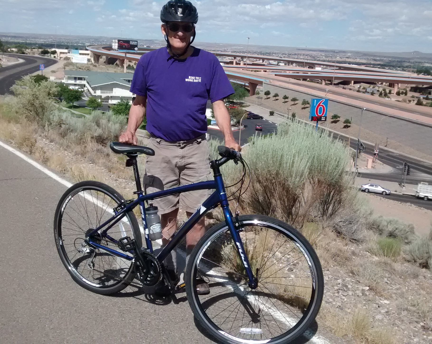
If you look at the map of our ride you see that it was 10 miles to get to the campus, and since we made it a round trip, it was a 20 mile bike ride. Also, on the map you can see how the bike trail crosses and then parallels Interstate-40, near what’s known as the “Big-I” because it’s the intersection of Interstate-40 and Interstate-25. It’s one of the sections of the trail I especially like because it makes you feel like you’re flying right above one of the busiest parts of the city. The “Big-I” is in the background of the picture above, although it’s hard with a phone camera to capture the panoramic view.
We got home before the wind got too strong and before it got too hot. To get prepared for our planned bike ride in August, though, we are going to have to quit trying to avoid the heat! Now that we both have bikes, let the training begin.