Two In a Row

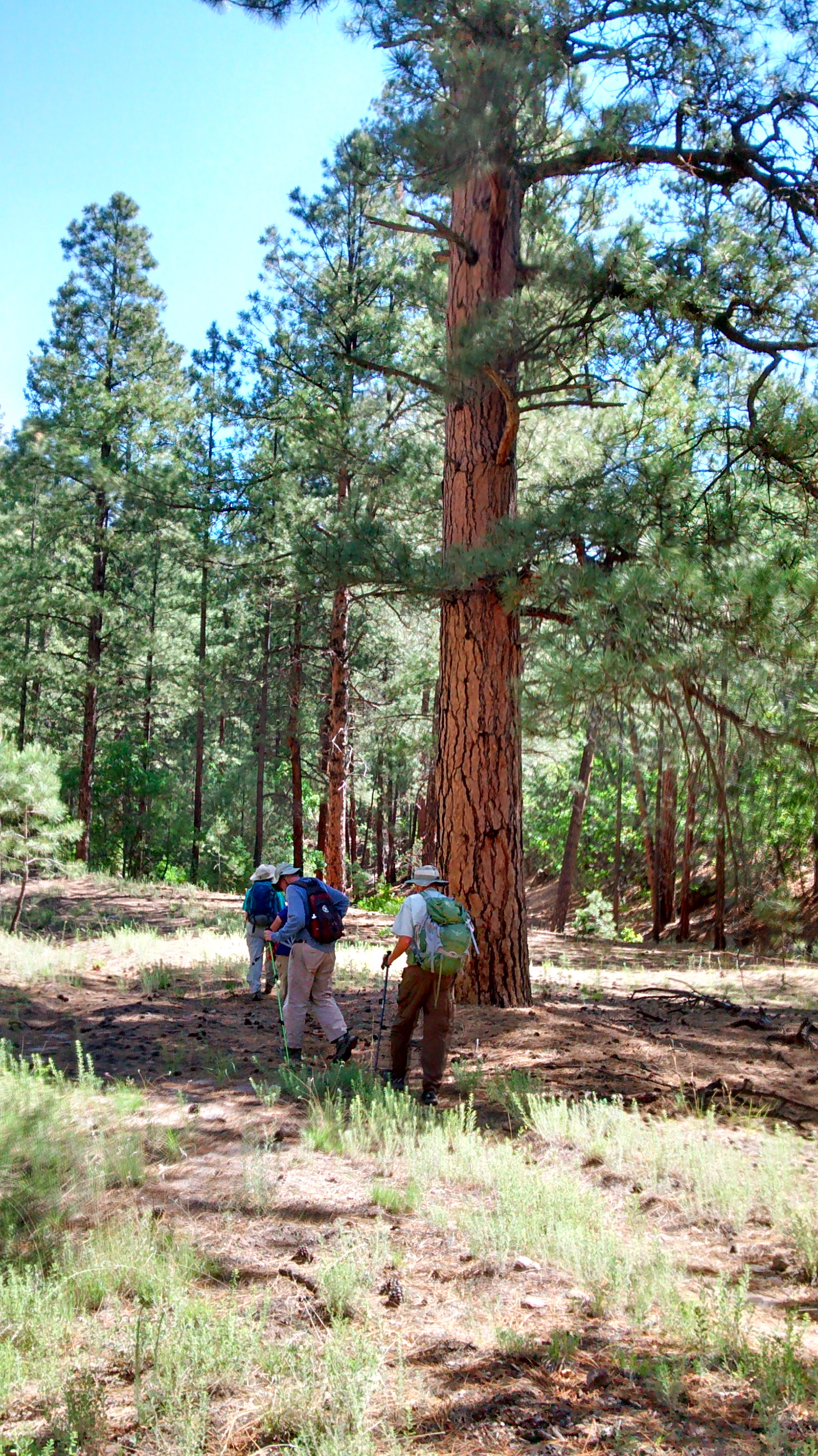
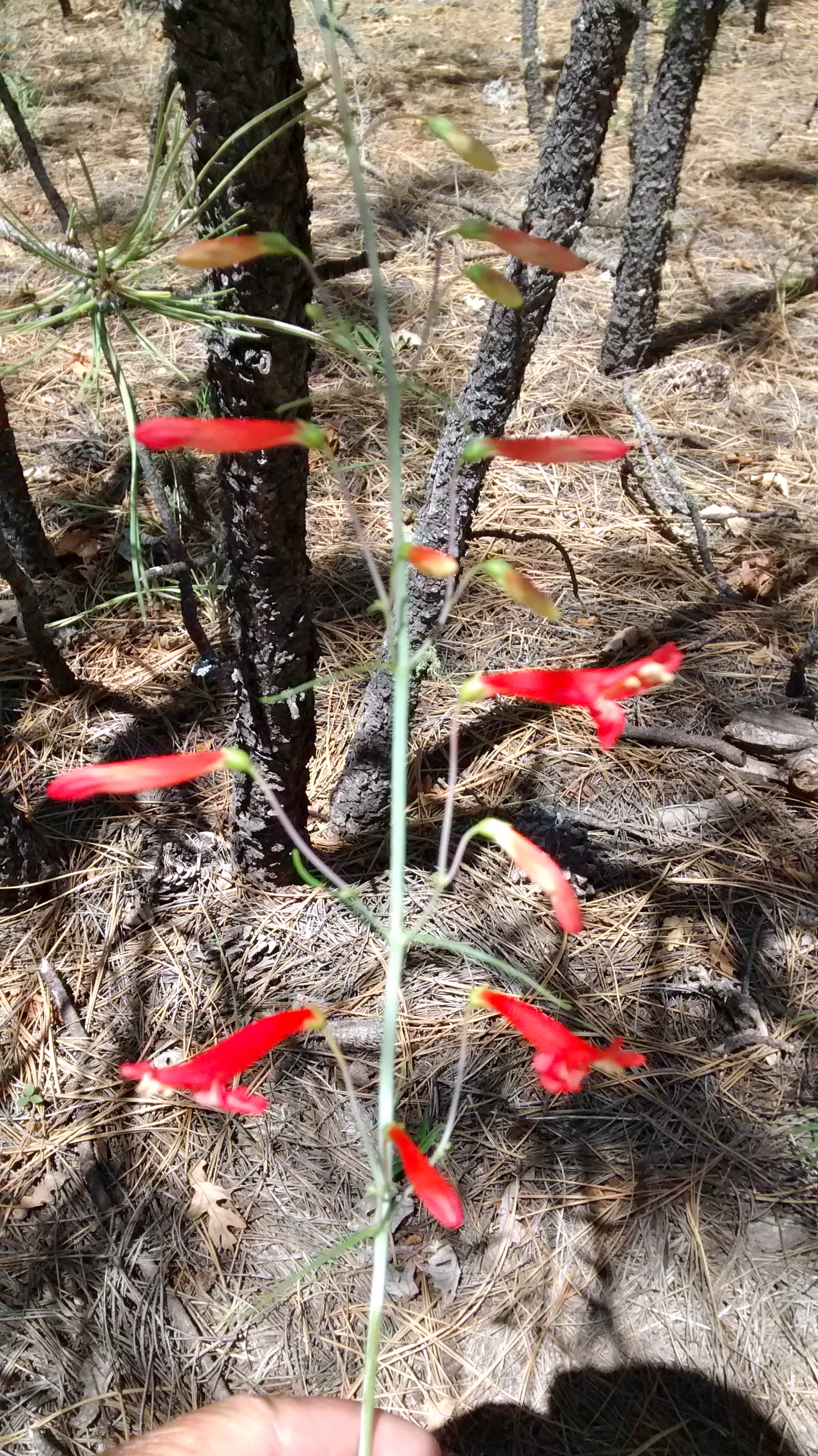
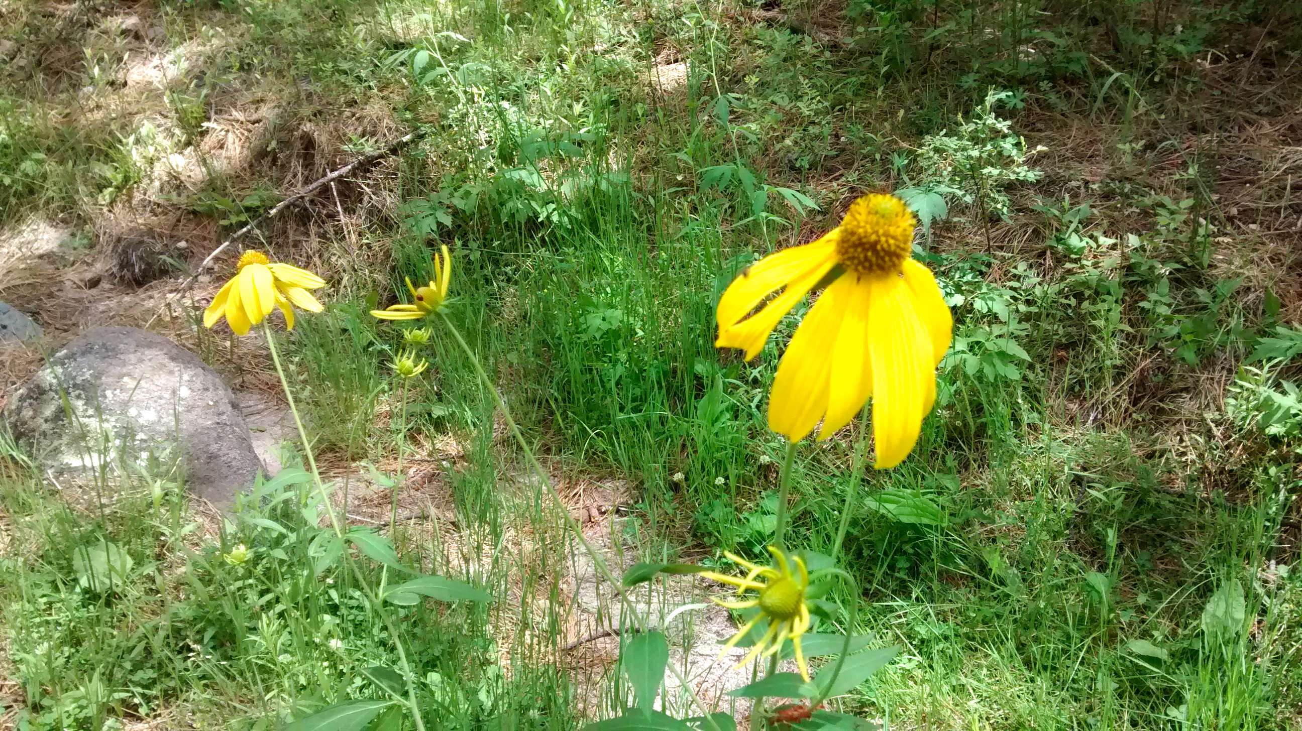
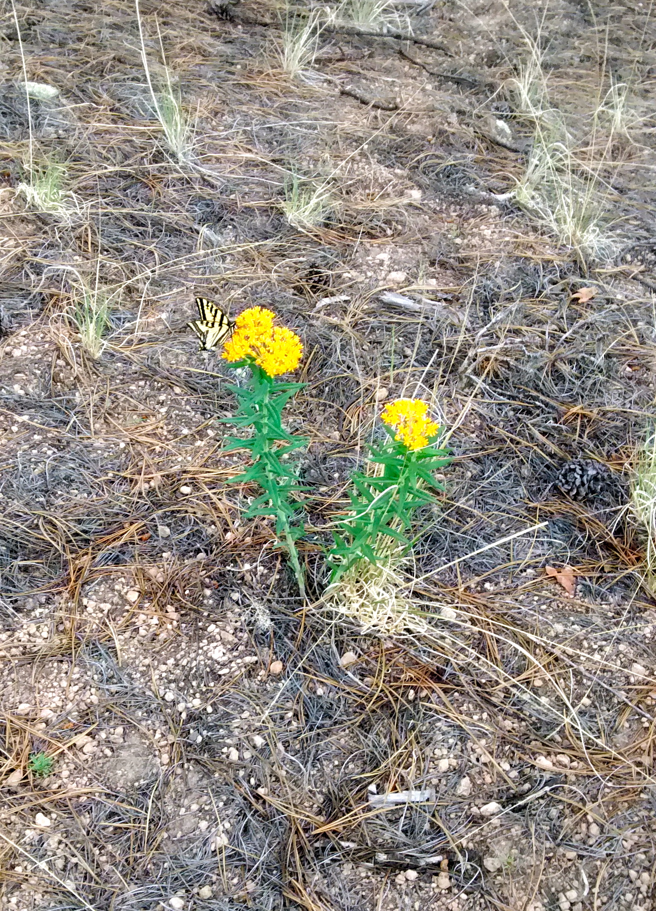
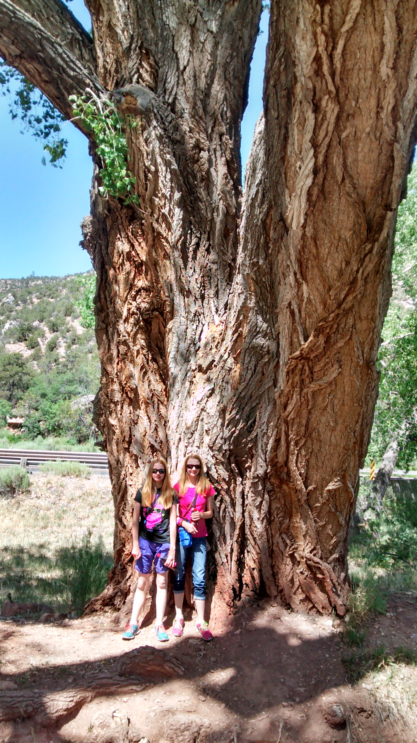
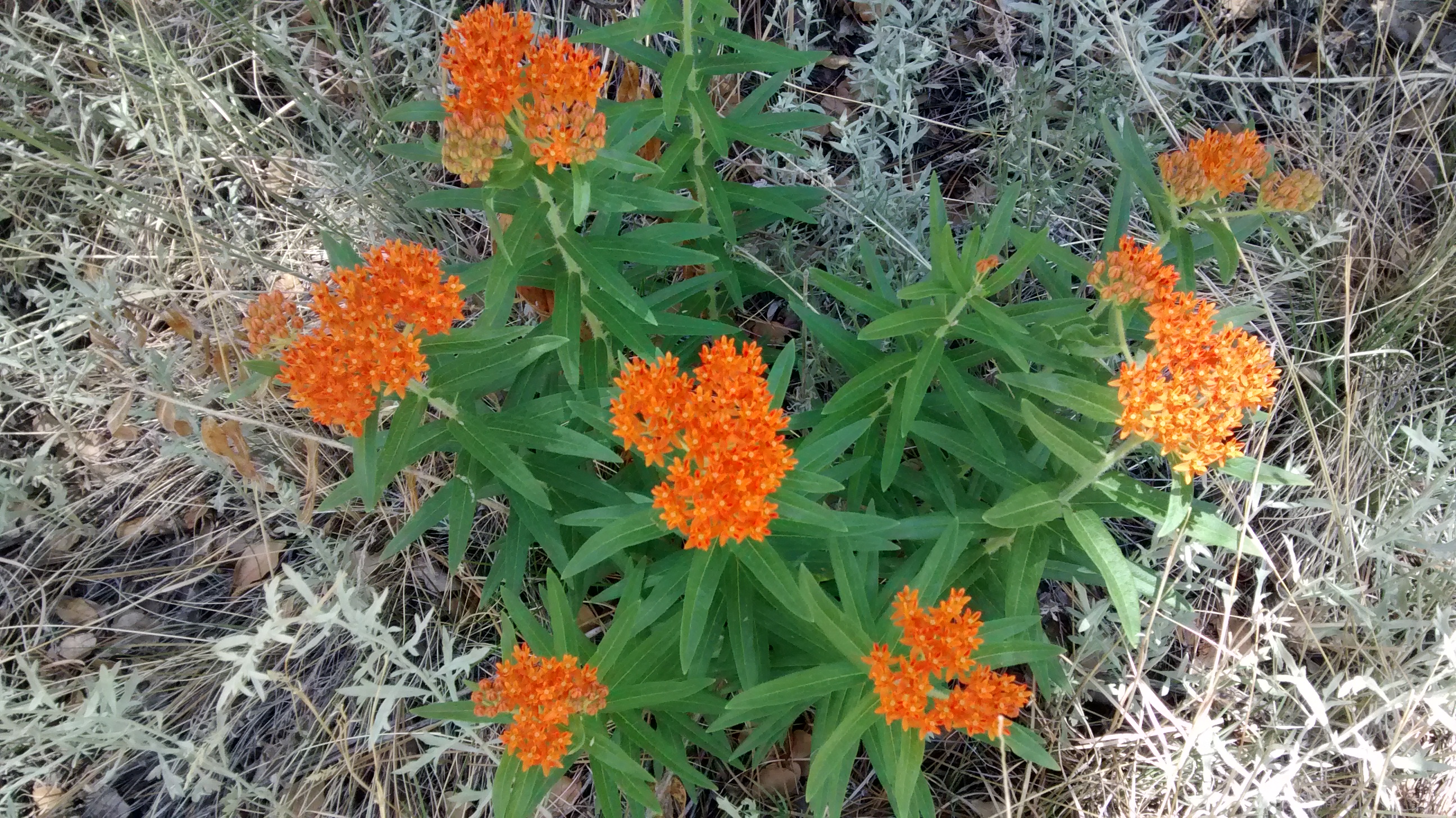
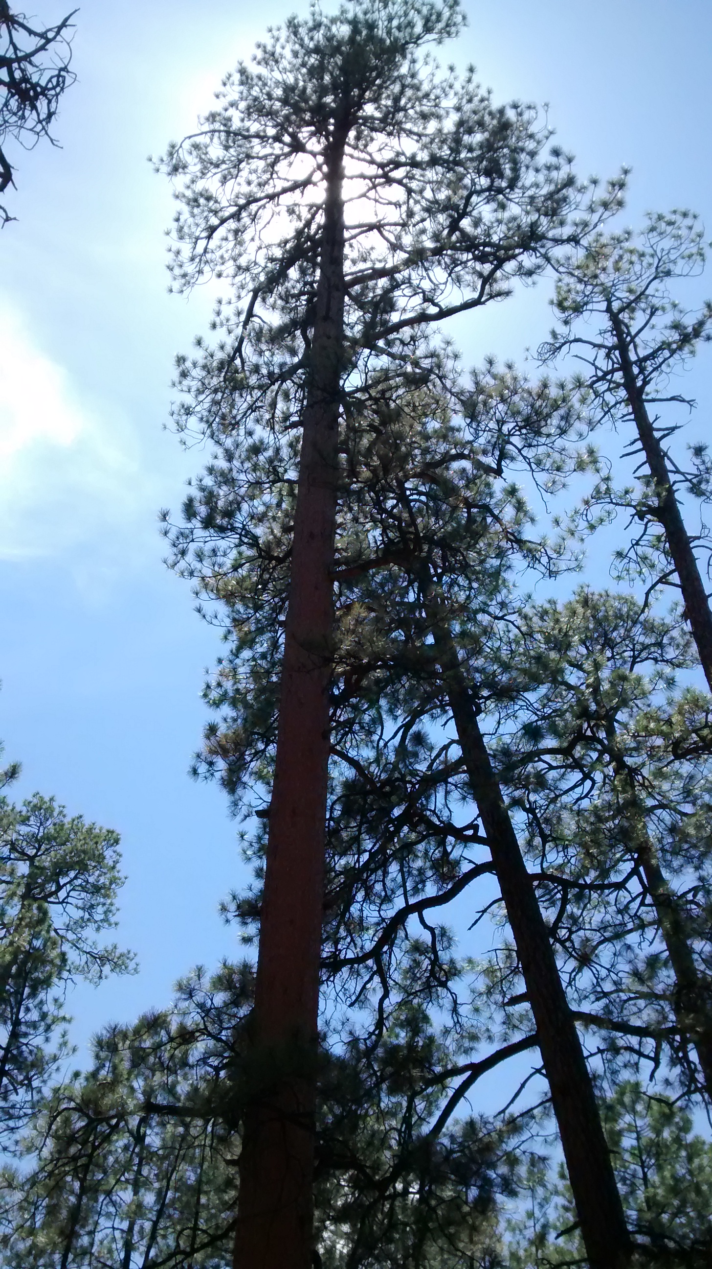
I can’t think of a better way to start off the week than to hike two days in a row.  Monday’s hike was a favorite that I have done before.  I decided to take a break from picture-taking on that one.  To see photos and map check out June 3 and September 8 posts.  I should have taken pictures, though, because even though the awesome views don’t change, the environment certainly changes with the seasons.  On the hike in June we were struggling through snowbanks, whereas Monday the snow was a distant memory and we reaped the benefits of the snow’s moisture with sightings of many varieties of beautiful wildflowers.

Today’s hike was in the Jemez Mountains, northeast of the small village of Ponderosa.  Driving up to the Jemez for other hikes, we always pass the turnoff from Highway 4 that goes to Ponderosa and I’d been curious about what was out that way.

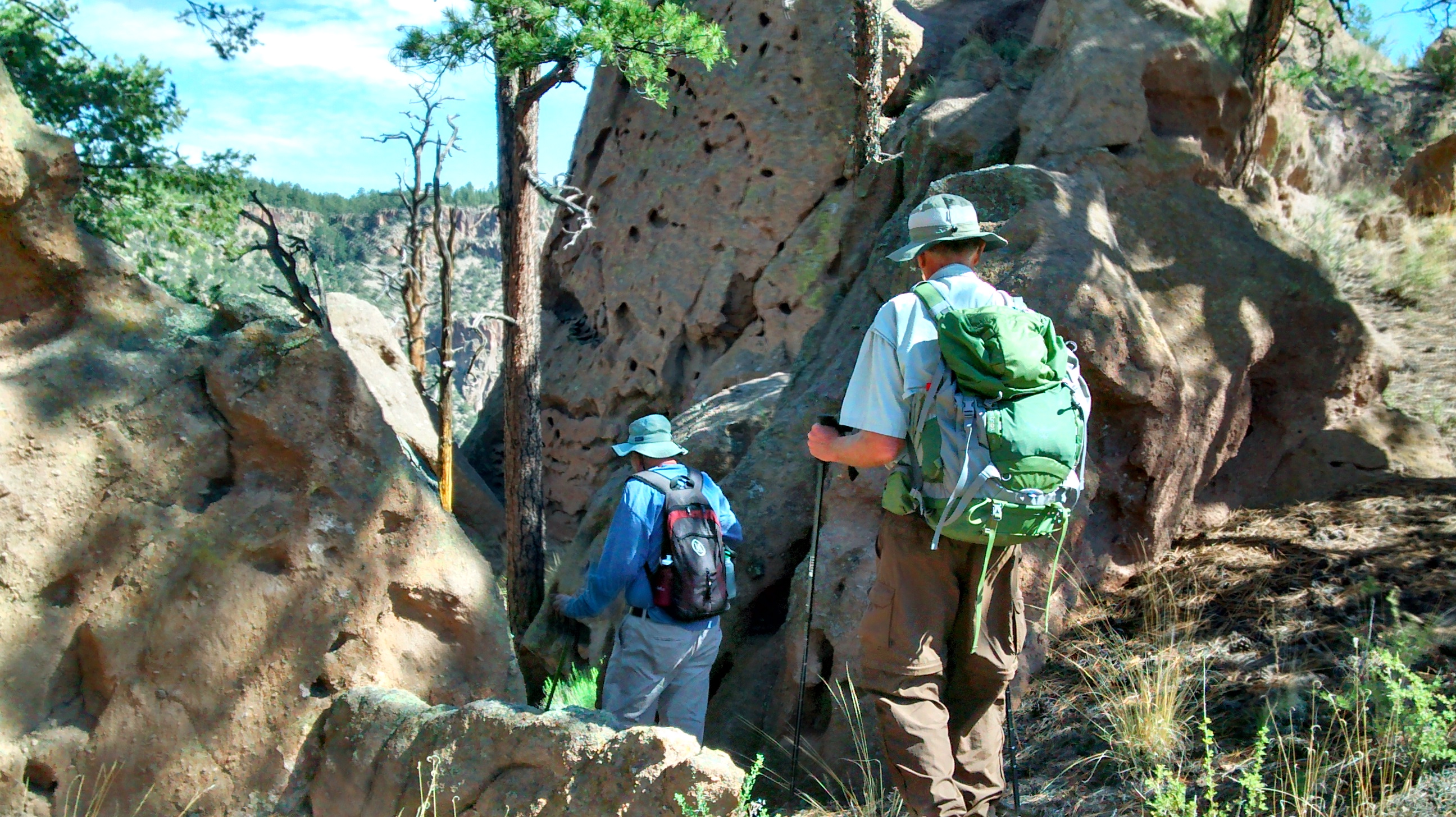
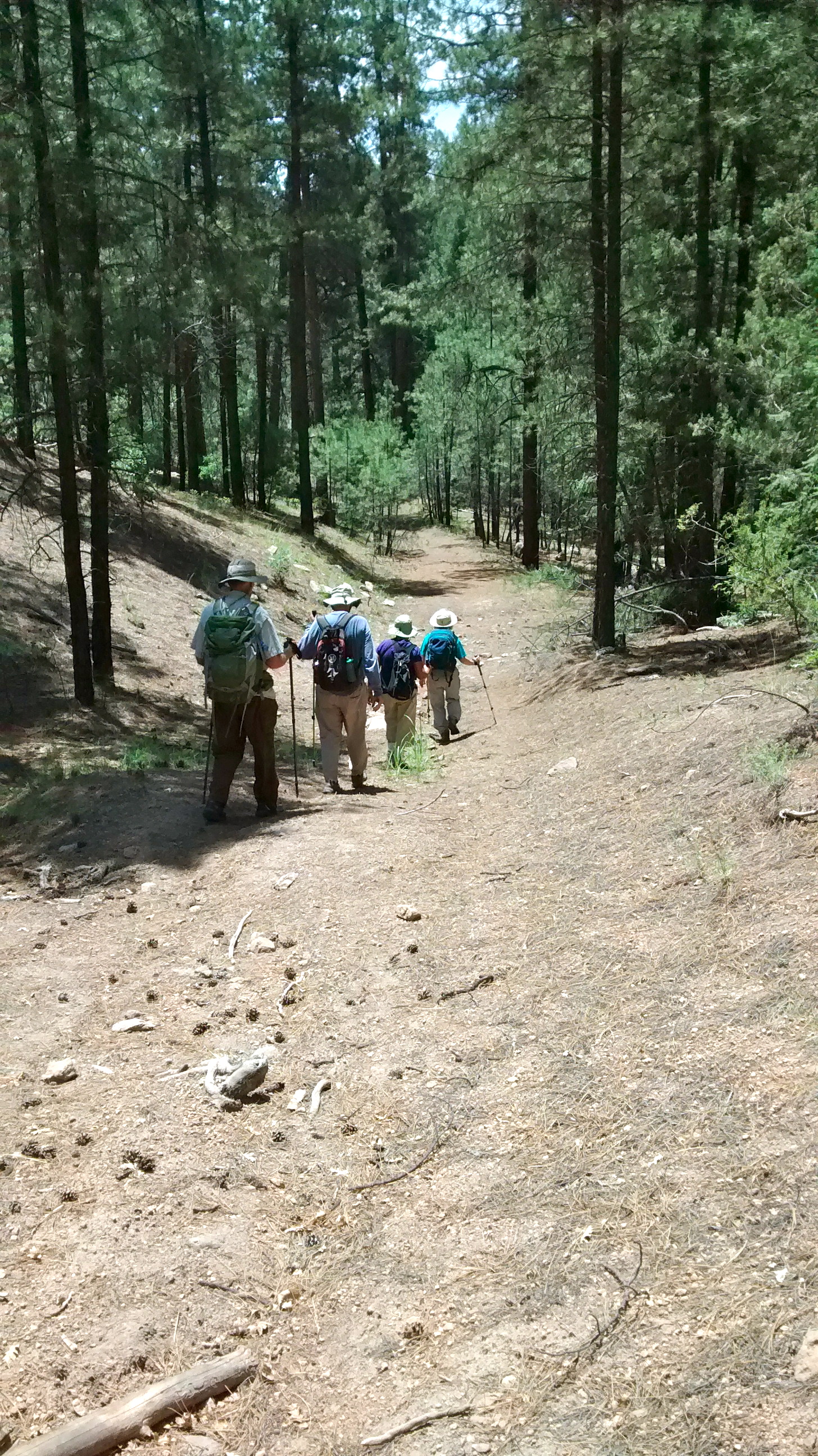
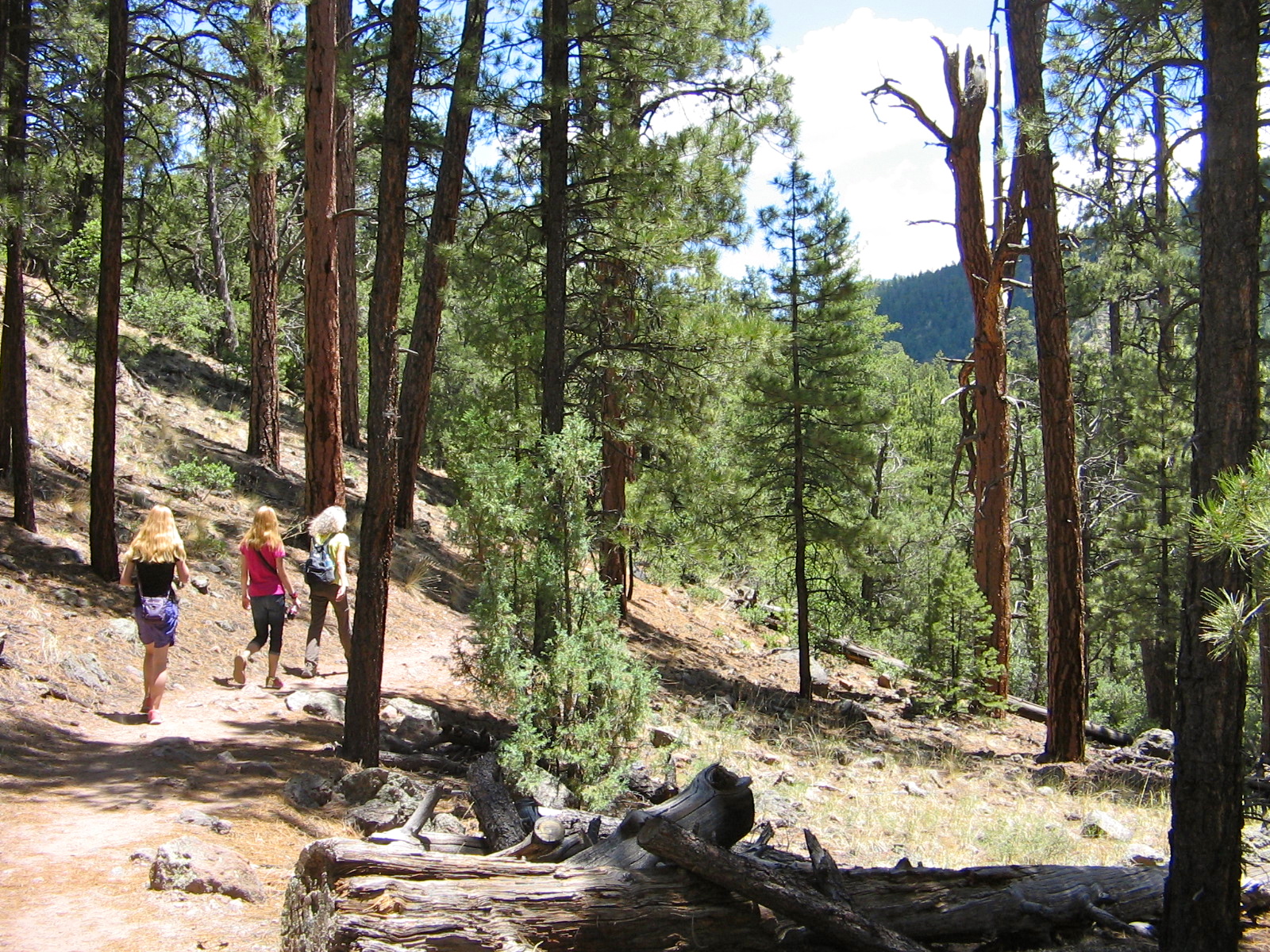
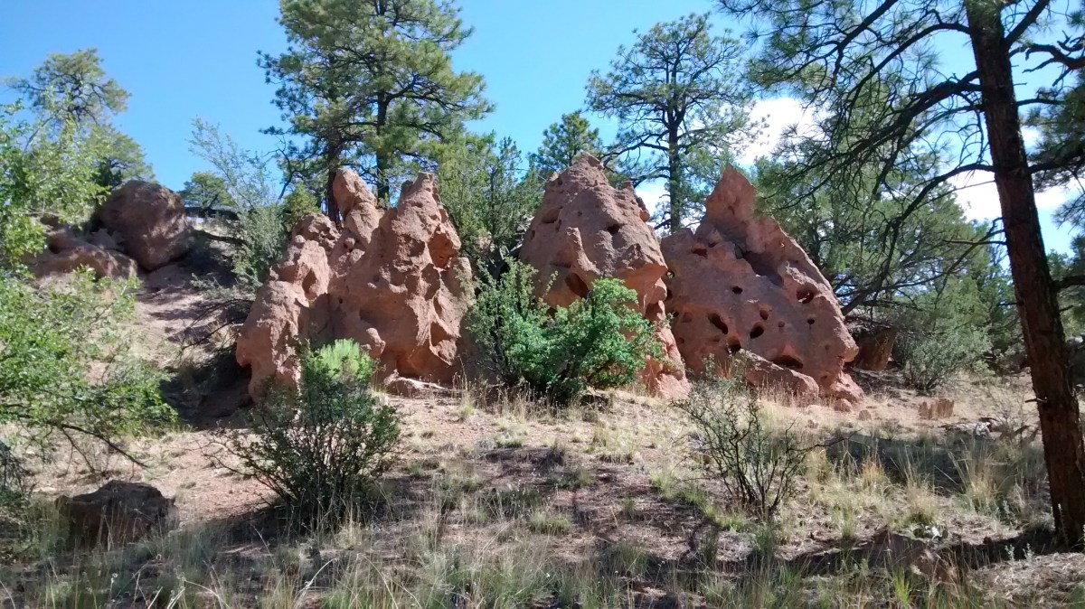
Not surprisingly, once through Ponderosa, the drive was over a rough, rutted forest road.  One of the benefits of hiking with the Albuquerque Seniors hiking group is that a city van is getting us over the rough roads and we don’t have to drive our own car.  Also, if we hadn’t had a hike leader who was following a GPS track of the hike, it would have been an impossible trail to find.

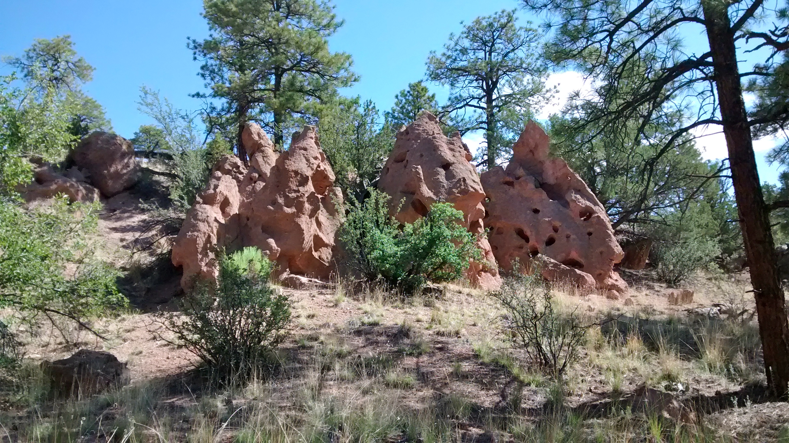
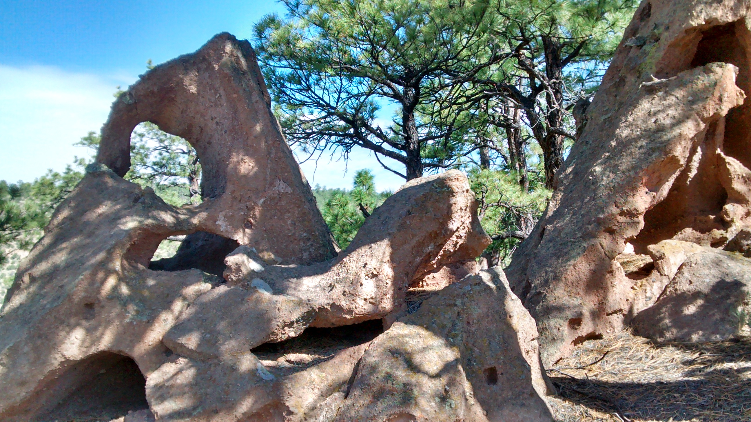
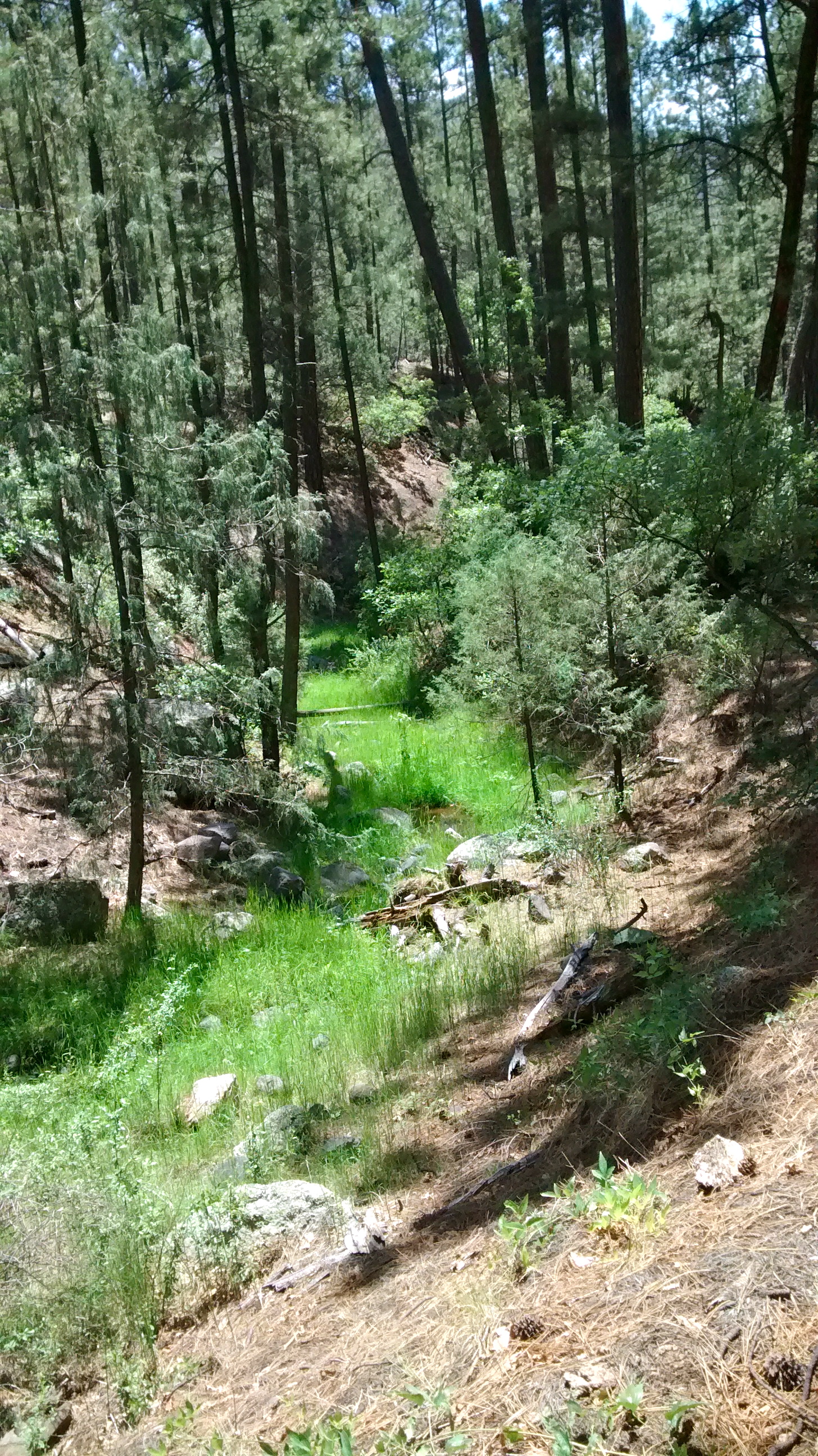
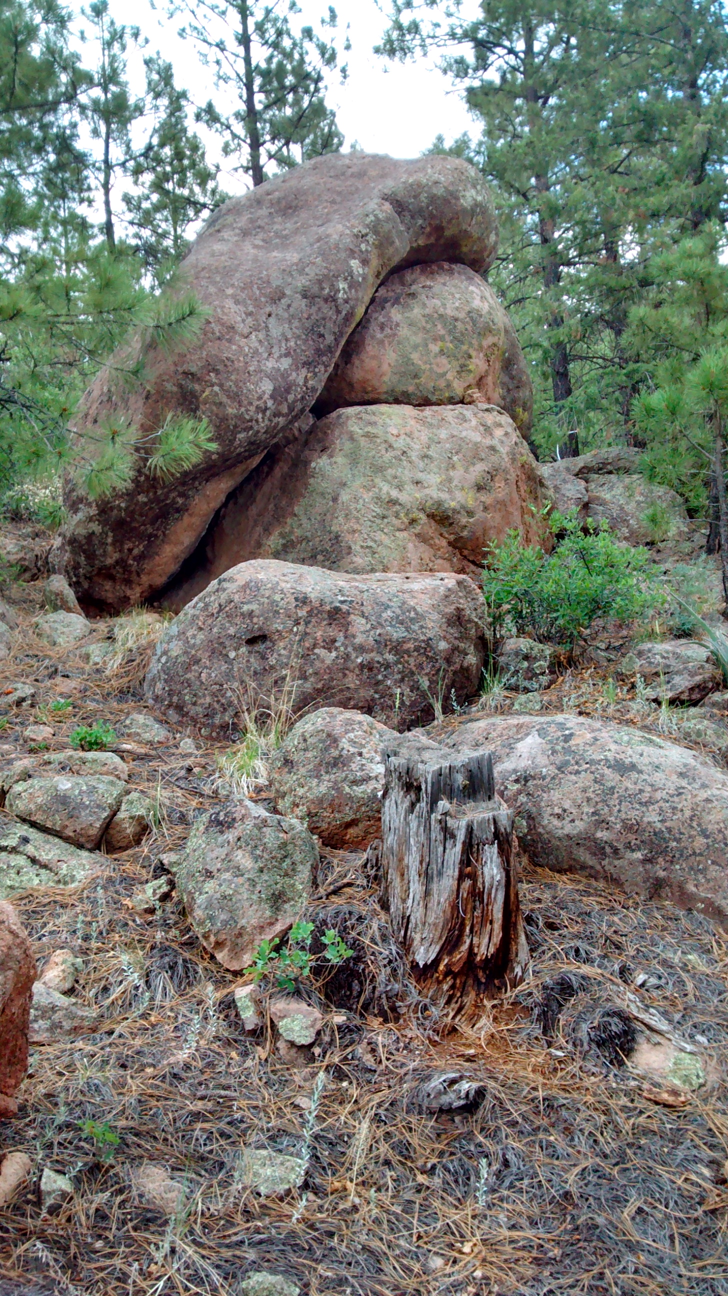
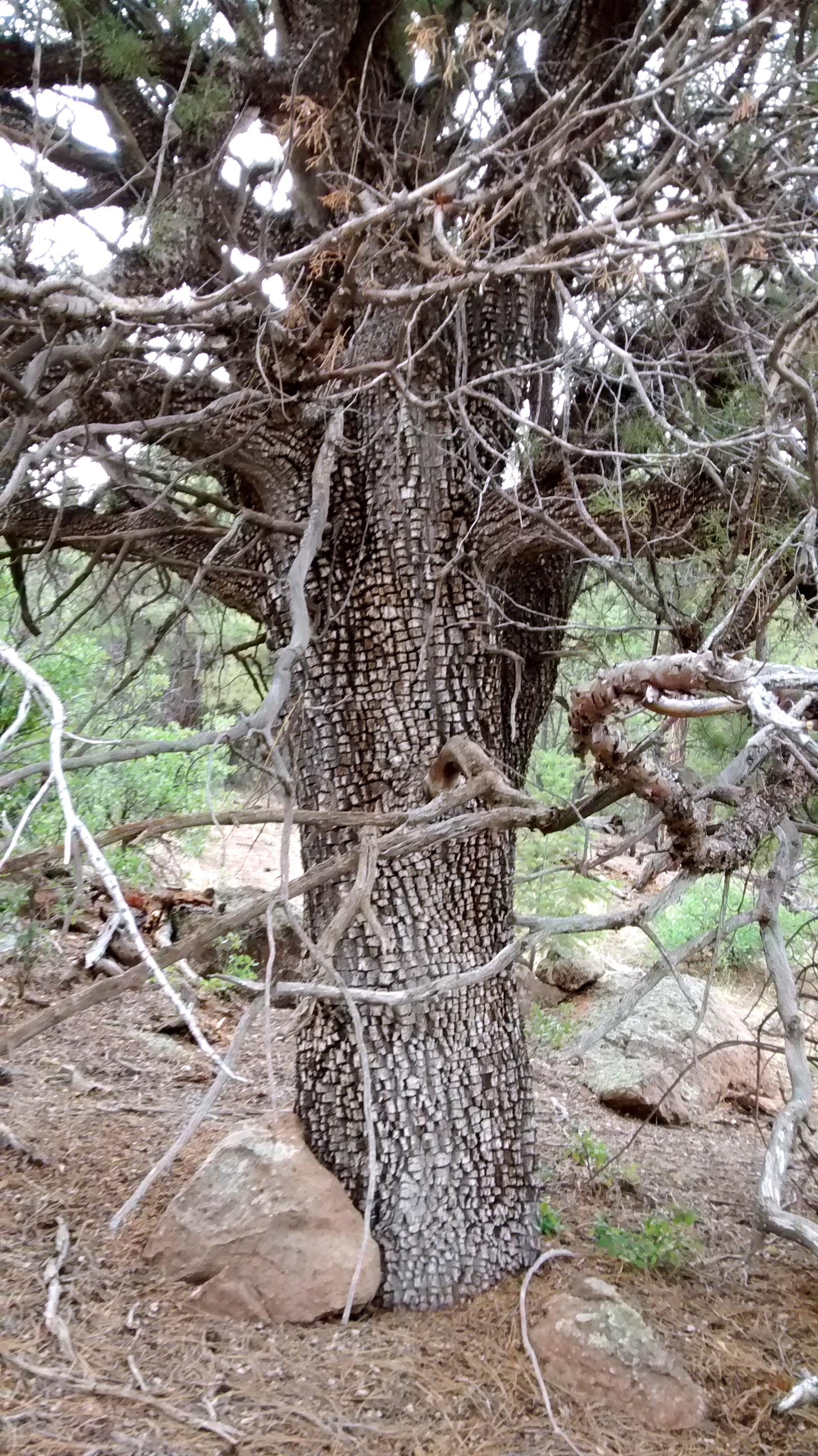
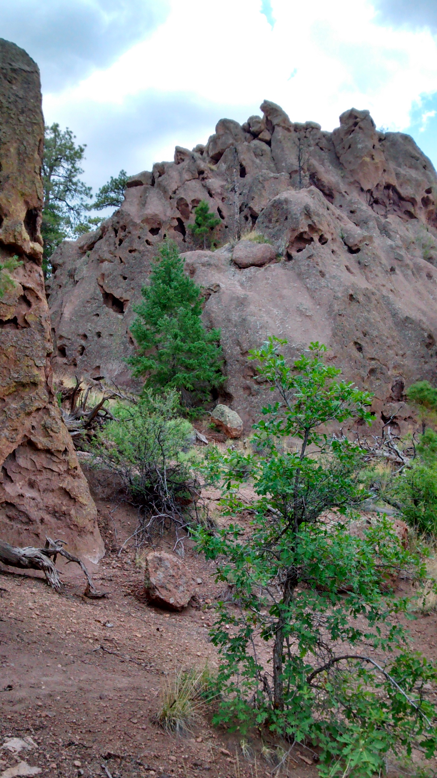
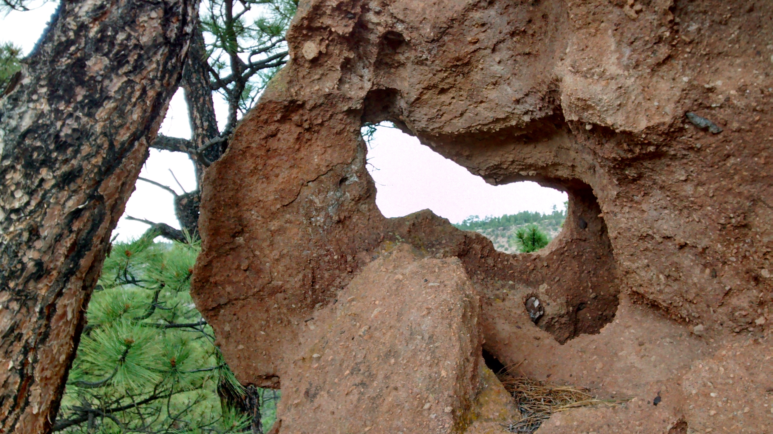
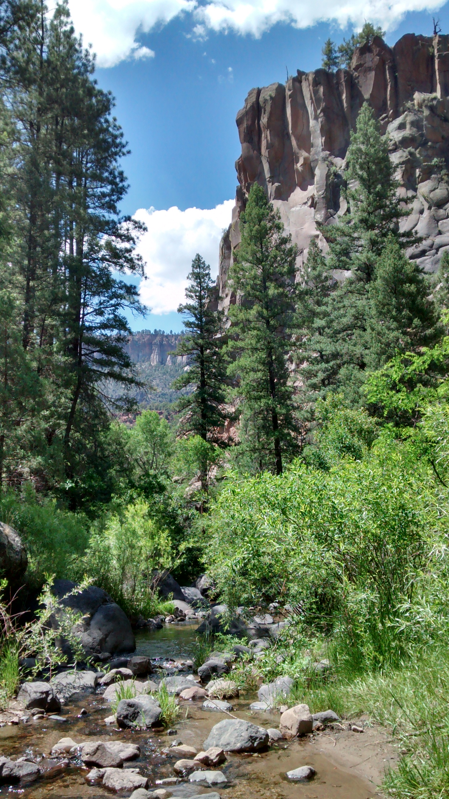
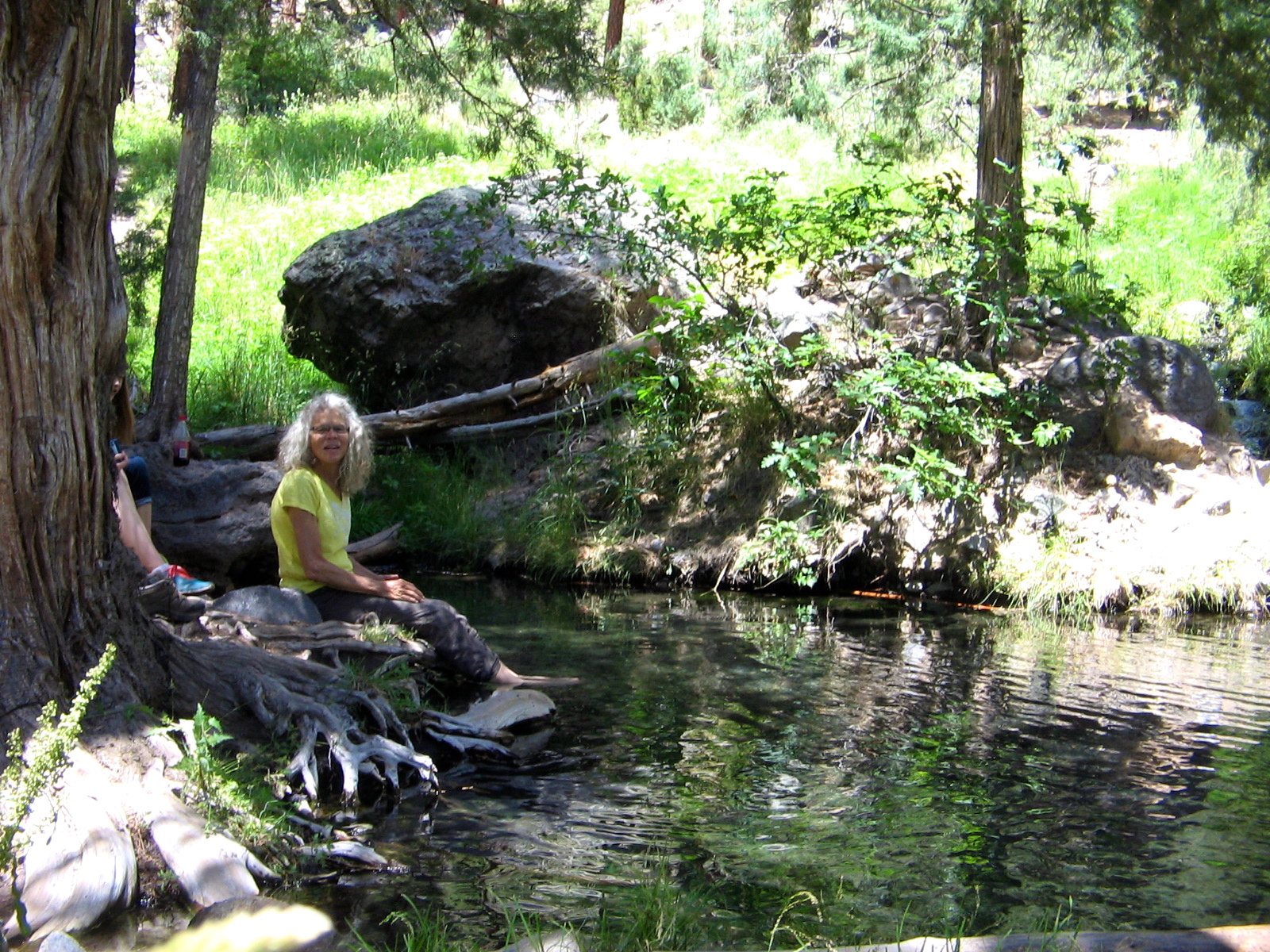
After a scramble over a rocky ridge, the trail followed an abandoned road through San Juan  Canyon.  A couple of places had trickles of water in what was once the stream through the canyon, but mostly it was very dry.  The mountains around Albuquerque are just beginning to experience the summer thunderstorms that develop this time of year.  We had rain gear with us and our hike leader set a goal that we should be back to the van by 2:00.  That turned out to be perfect timing.  The clouds had begun to gather by the time we reached the van and we heard the first rumbles of thunder.

Looking behind us on the drive back to Albuquerque we  could see that there were some significant rain showers in the area we had just left.  That is a welcome sight around here and, hopefully, there will be more to come in the days ahead.

GPS Track on Every Trail

IMG_20140708_100138941 IMG_20140708_100229813_HDR IMG_20140708_100242959_HDR IMG_20140708_103710089_HDR IMG_20140708_122222328

Beardlip Penstemon
Beardlip Penstemon

IMG_20140708_123202019

Cutleaf coneflower
Cutleaf coneflower

IMG_20140708_132349136_HDR IMG_20140708_133401459_HDR

Alligator juniper
Alligator juniper
Butterfly milkweed that had a butterfly on it!

IMG_20140708_134726315_HDR IMG_20140708_135012415_HDR

There’s Something Fishy Here

IMG_20140625_134641001

My feet are soaking in the refreshing waters of McCauley Warm Springs. There are some strange-looking black things over my toes and surrounding my feet in the water. Those are tiny little minnows that were swarming in the pools at the spring. Not only did the water sooth my tired hiking feet, but I also got tickling massages as the curious fish nibbled my toes!

There’s been nothing fishy about the spectacular weather that has accompanied us this week on our outings. Some might complain that the temperatures are too hot, but Monday and today our hikes were in the mountains, where it’s at least 10 degrees cooler than Albuquerque. And yesterday we rode the Rail Runner Express up to Santa Fe, which also is cooler than Albuquerque.

Monday we explored the crest of the Sandia Mountains, which are immediately to the east of Albuquerque. Today we drove into the western edge of the Jemez Mountains, which are north of Albuquerque, but not as close as the Sandias.

After driving as far as the boundary of the Valles Caldera, with a stop at Soda Dam, we backtracked to the Battleship Rock Picnic Area. Beneath this towering rock formation, the East Fork Jemez River and San Antonio Creek converge to form the Jemez River. A two-mile hike up the East Fork leads to McCauley Warm Springs, which was the destination for our hike today. We had never been on this trail before and didn’t realize that it was 2 miles of continuous uphill. But the girls trudged right along and didn’t complain at all. Our efforts were rewarded when we reached the refreshing spring. And we knew that it would then be all downhill to get back to the car.

Behind us is Soda Dam, a large deposit of calcium carbonate that has built up from a spring that bubbles to the surface.
Behind us is Soda Dam, a large deposit of calcium carbonate that has built up from a spring that bubbles to the surface. Jemez River to our right as it flows under the dome.
A stop along the way on our drive through the Jemez Mountains.
That's one heck of a big cottonwood tree!
That’s one heck of a big cottonwood tree!
Our destination on the East Fork Trail.
View of Battleship Rock

IMG_20140625_125951213

IMG_7734

We continue to come across wildflowers that we can't identify.
We continue to come across wildflowers that we can’t identify.
Some tall trees.
Some tall trees.
One of the pools at McCauley Warm Springs.