A Grand Gorge

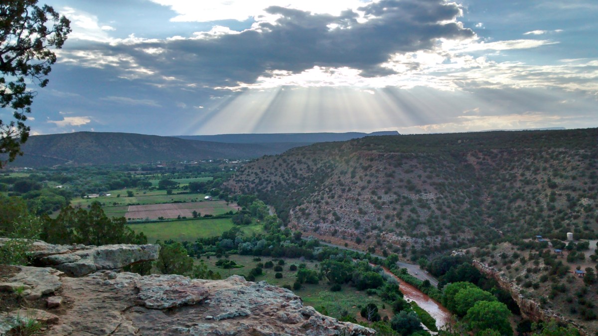
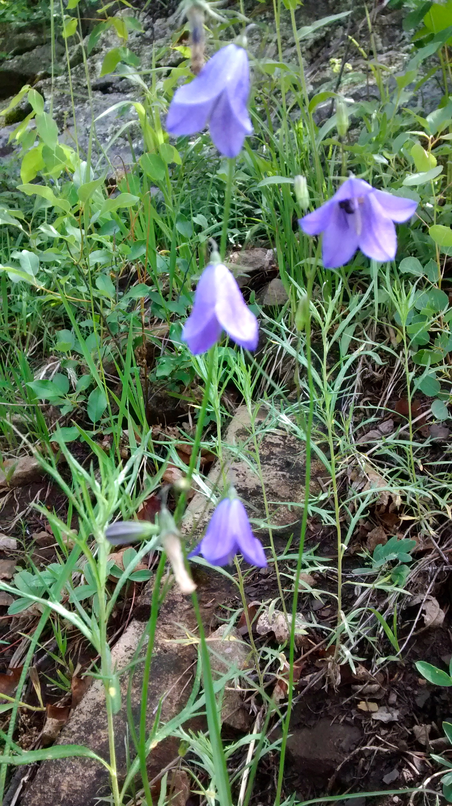
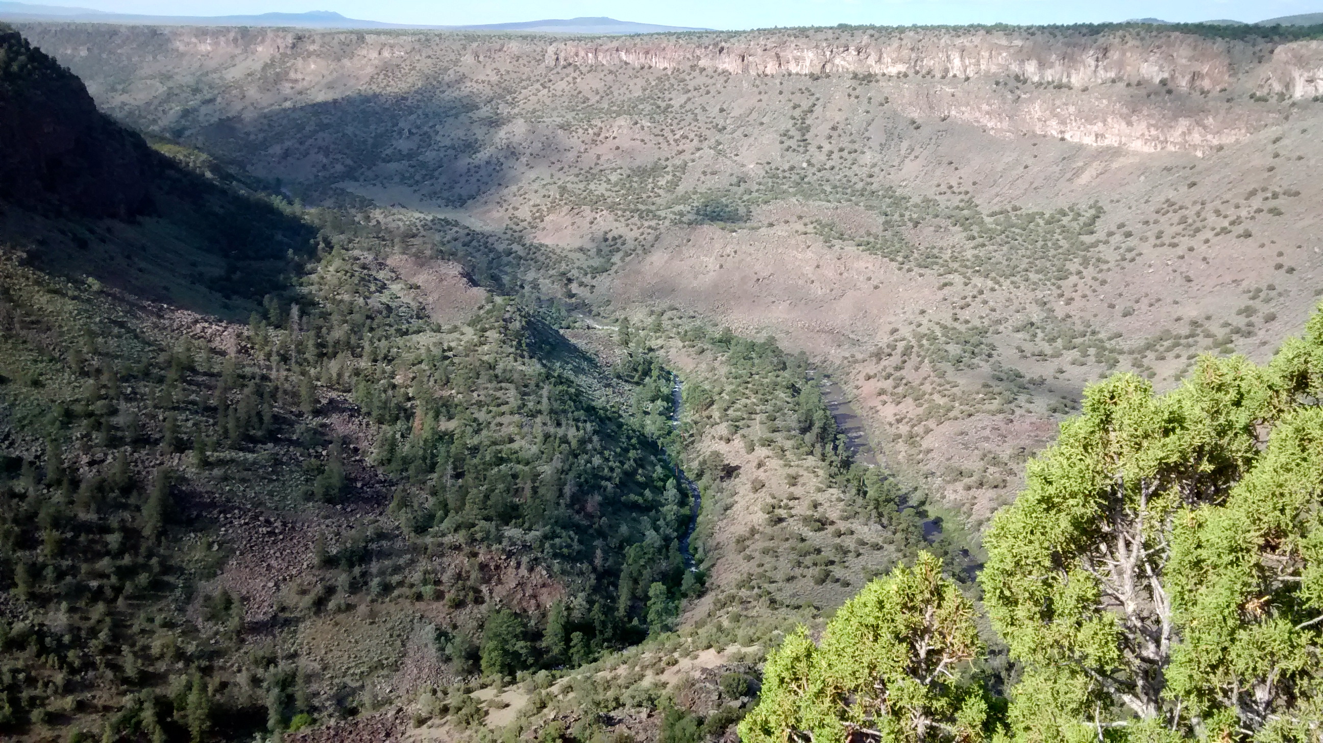
NM Highway 68 between Taos and Espanola parallels the Rio Grande River and offers glimpses of the river and the huge gorge it has carved in the landscape.  I knew there was a lot more of this area that I wanted to see than just the time or two that we had driven by it on the highway.  This week we made a one night camping trip to the Wild Rivers area of the Rio Grande Del Norte National Monument.  This gorgeous upper section of the Rio Grande Gorge was grand indeed.

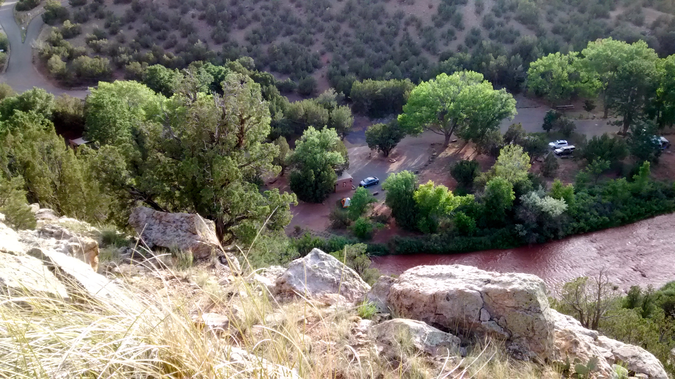
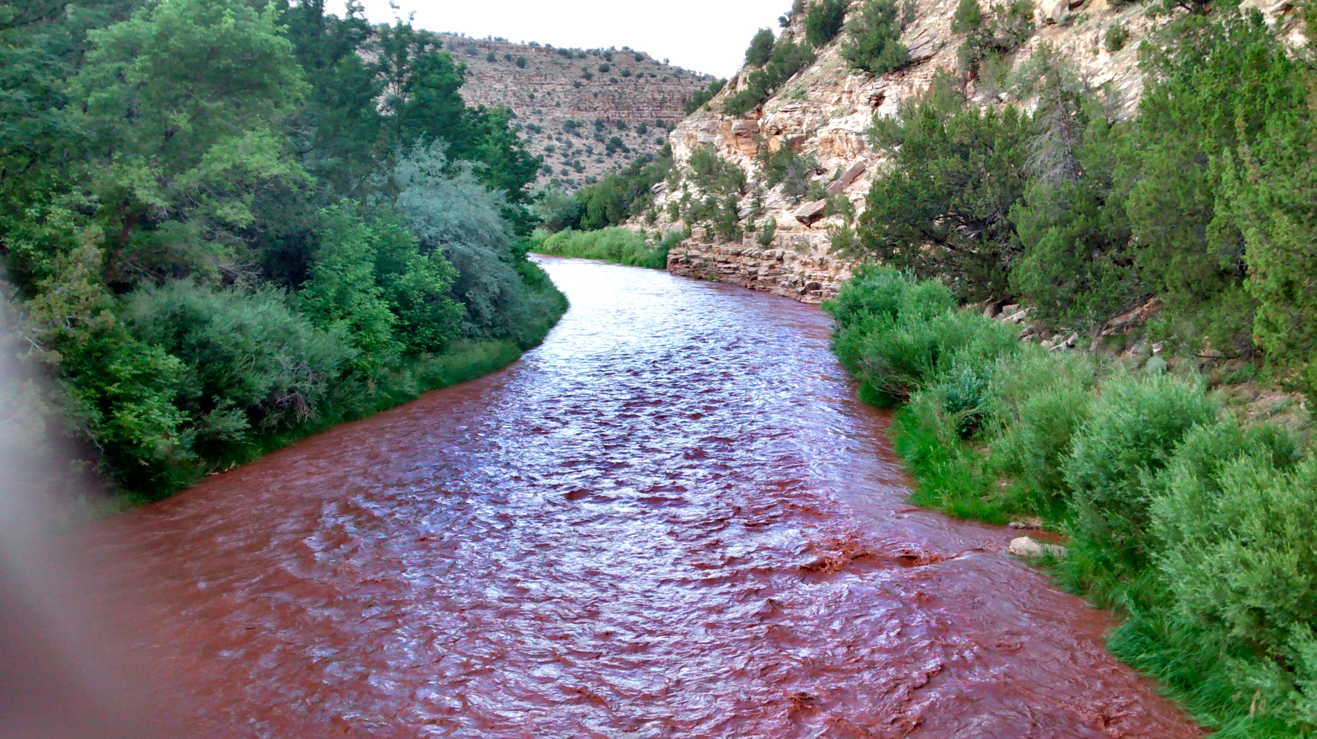
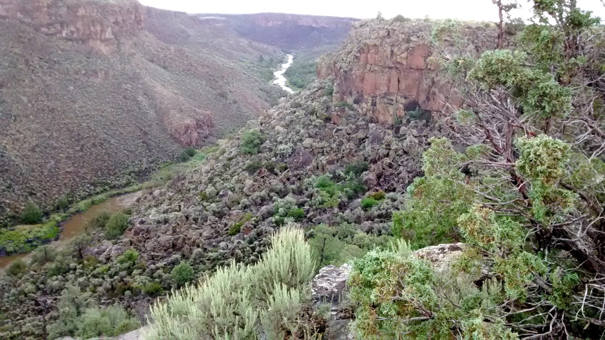
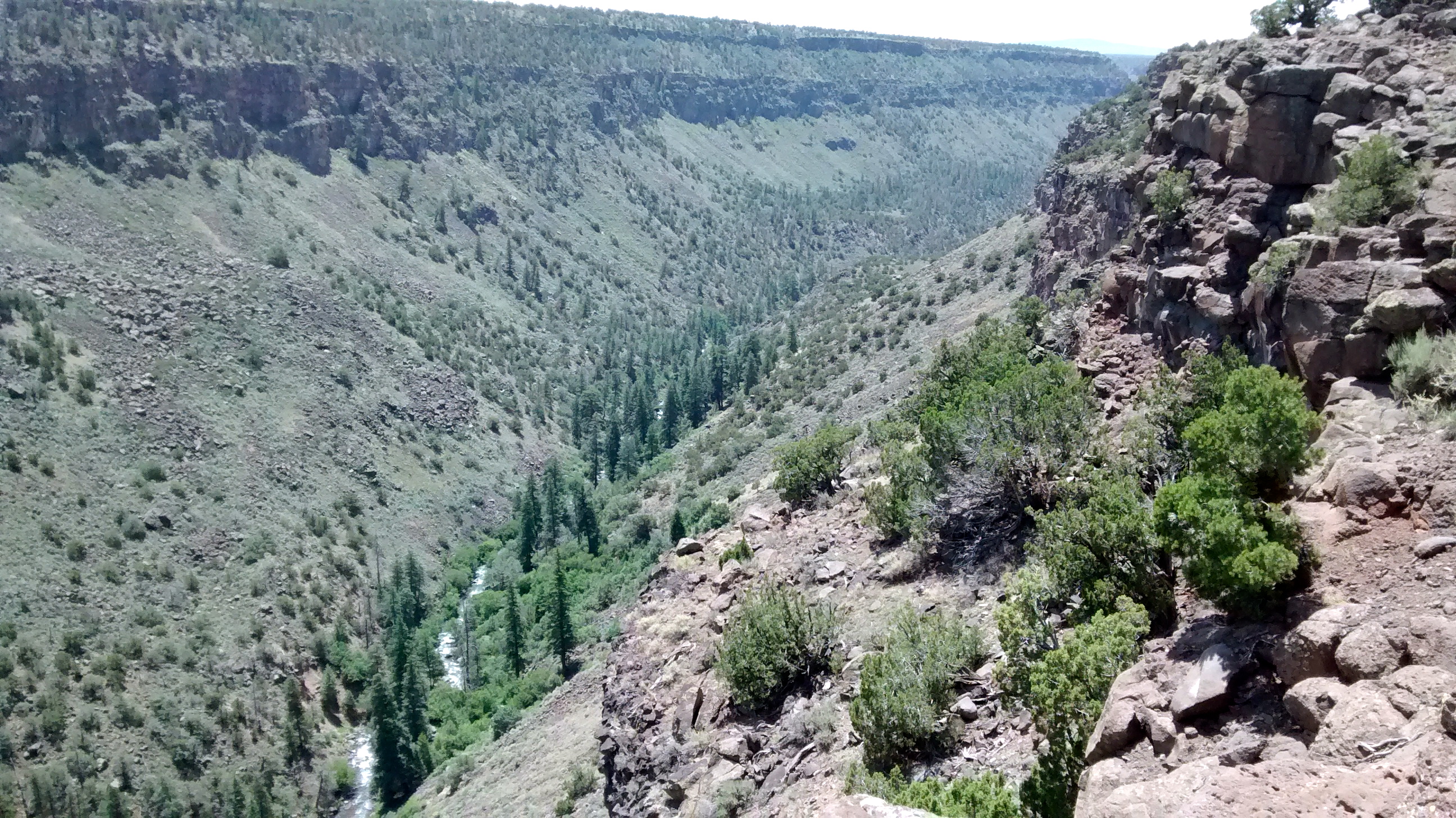
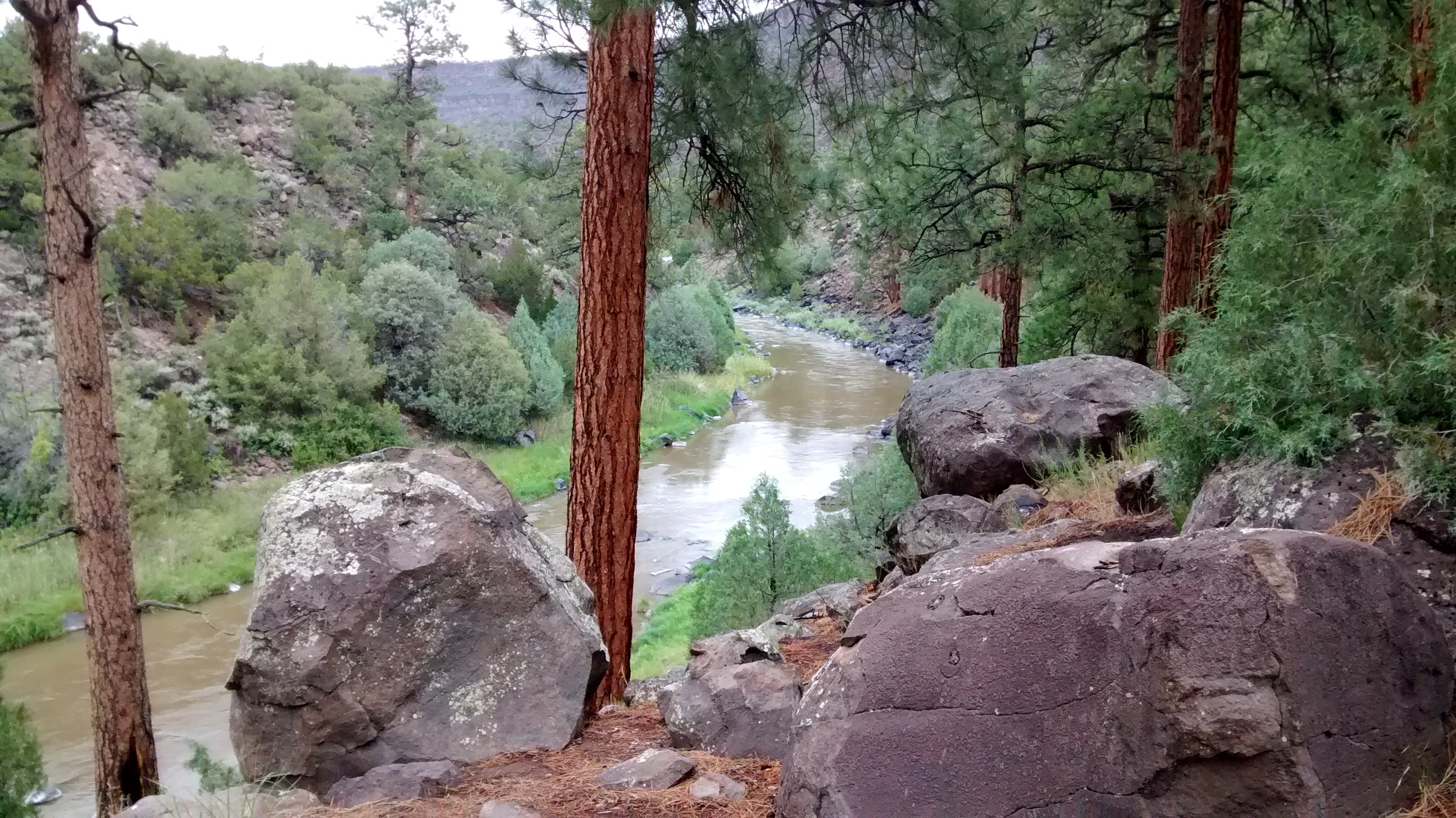
At this point on the Rio Grande, the scenic Red River empties into the Rio Grande.  The only way to access the point where the 2 rivers join is to hike down the steep basalt cliffs that form the canyons of the rivers.  There are several well maintained trails for getting down to that point, as well as other points along the rivers.

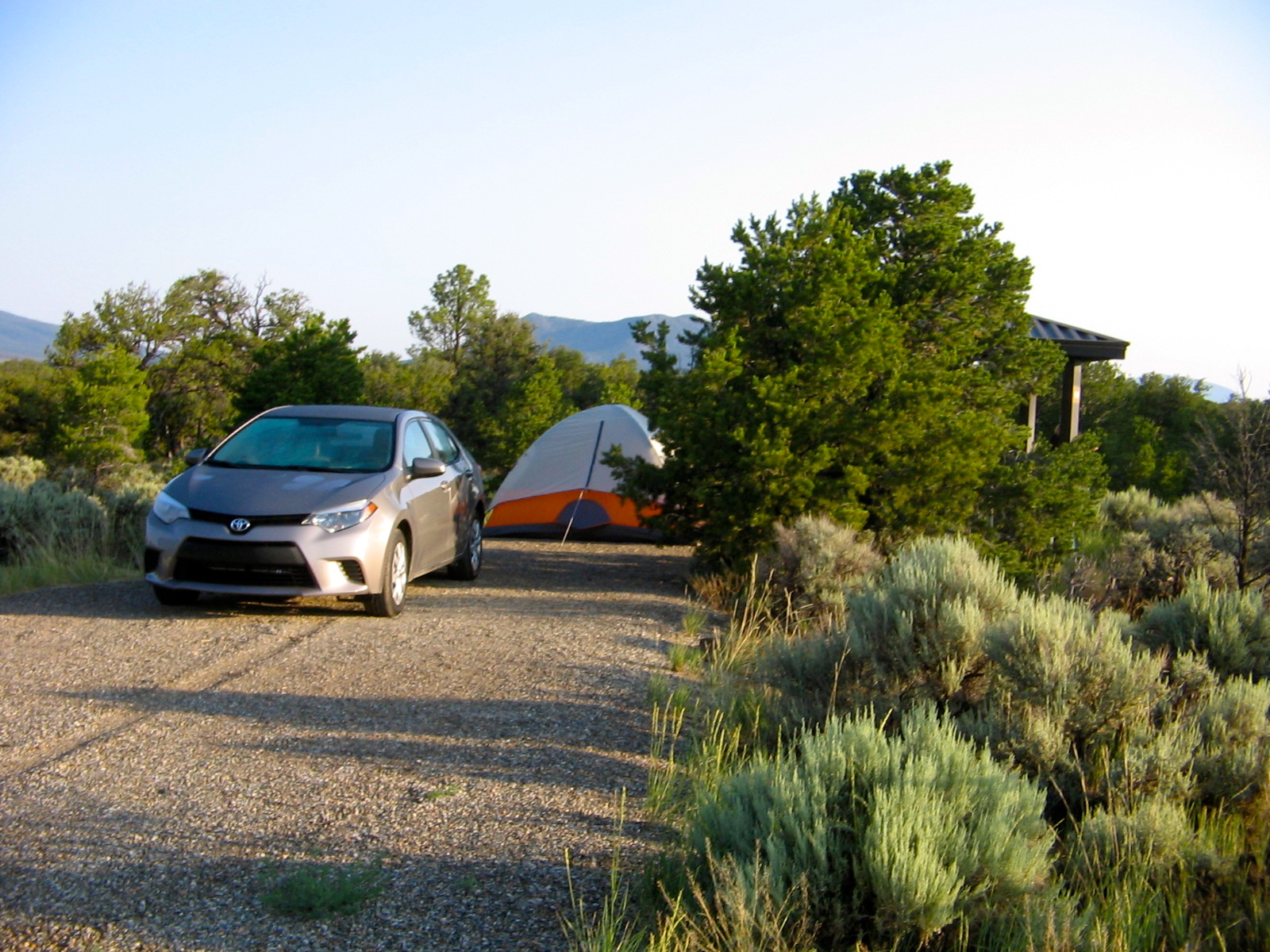
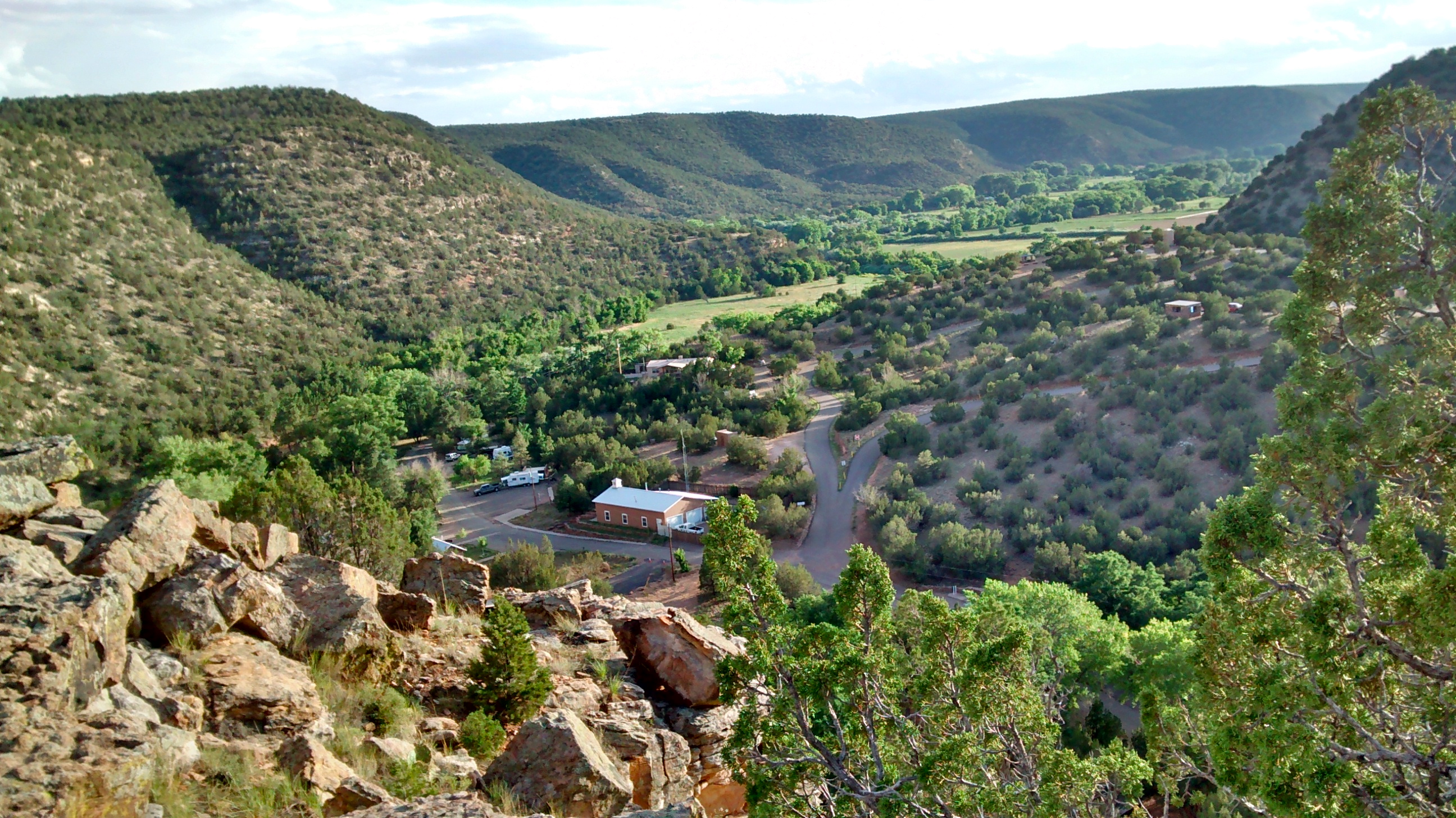
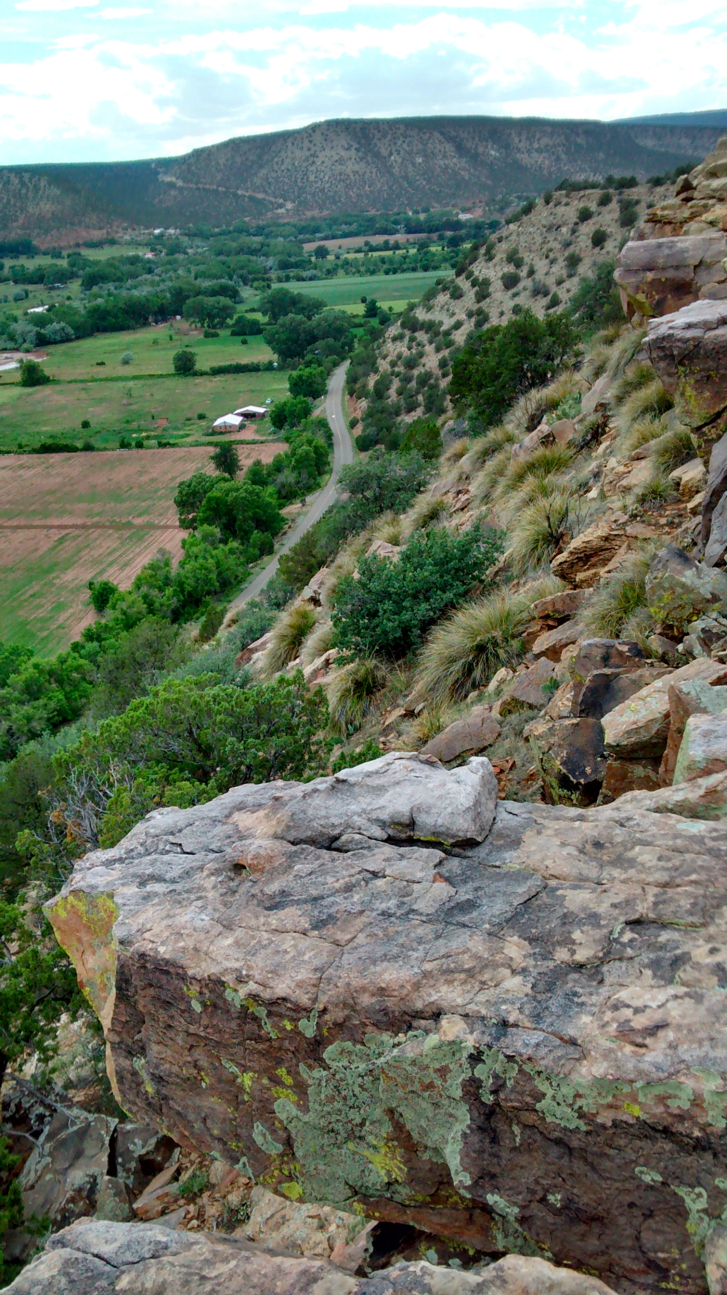
After a chilly night sleeping in our tent in the very quiet and peaceful campground that sits atop the Taos Plateau on the edge of the gorge, we were more than ready to begin our trek down into the gorge. We headed towards La Junta Point, the spectacular overlook that gives a birds-eye view of the confluence of the two rivers.

VIew of Red RIver in gorge below.
Overlook at La Junta Point.  800 feet below is the point where the Red River joins the Rio Grande River.
Overlook at La Junta Point. 800 feet below is the point where the Red River joins the Rio Grande River.
Starting down the La Junta Trail to the bottom of the gorge.

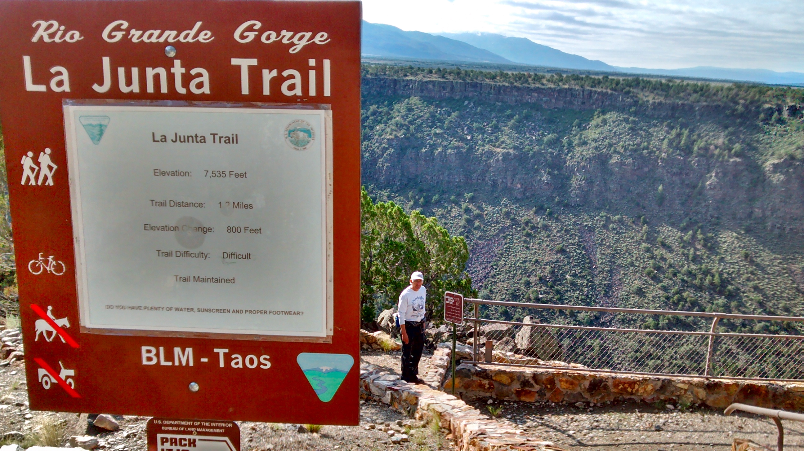
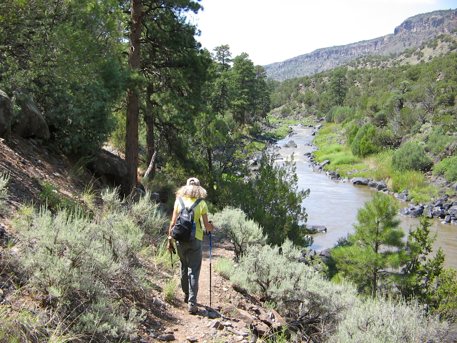
The trail was steep and rocky but with the built-in staircases along the way it wasn’t that difficult to get down. I would have been quite a climb to go back up that way!

IMG_20140717_091805447_HDR
One of the staircases on the La Junta Trail.
IMG_7787
The rocky point behind me is La Junta Point where we started down the trail.
Red River flowing in from the left--notice how clear and blue its water is, compared to the muddy Rio Grande.
Red River flowing in from the left–notice how clear and blue its water is, compared to the muddy Rio Grande.

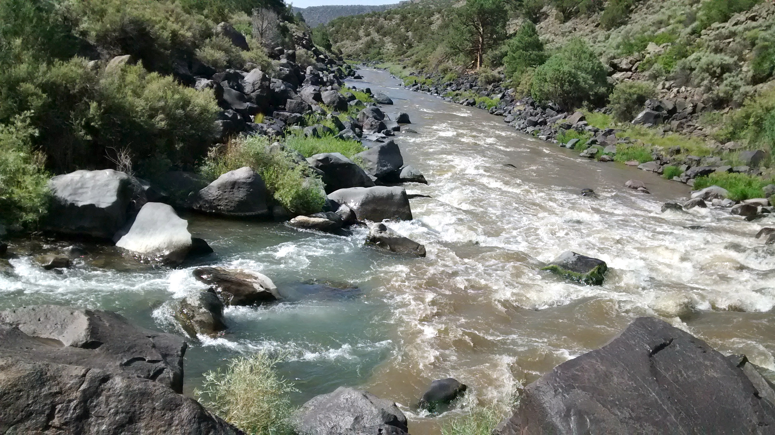
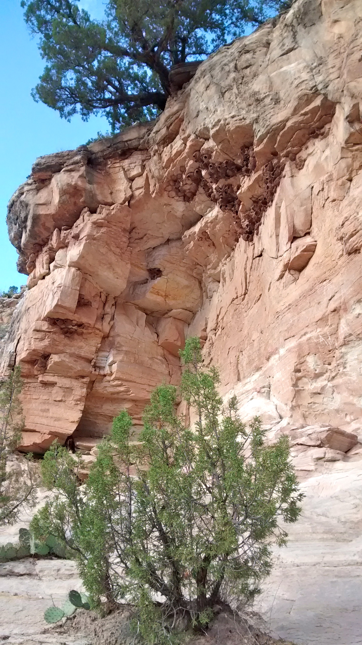
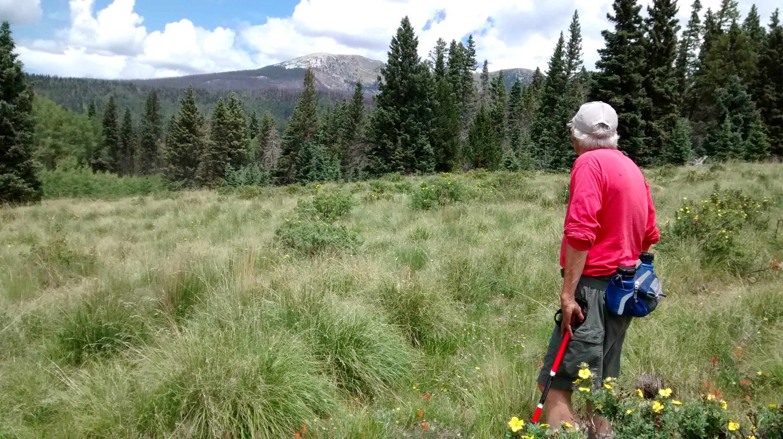
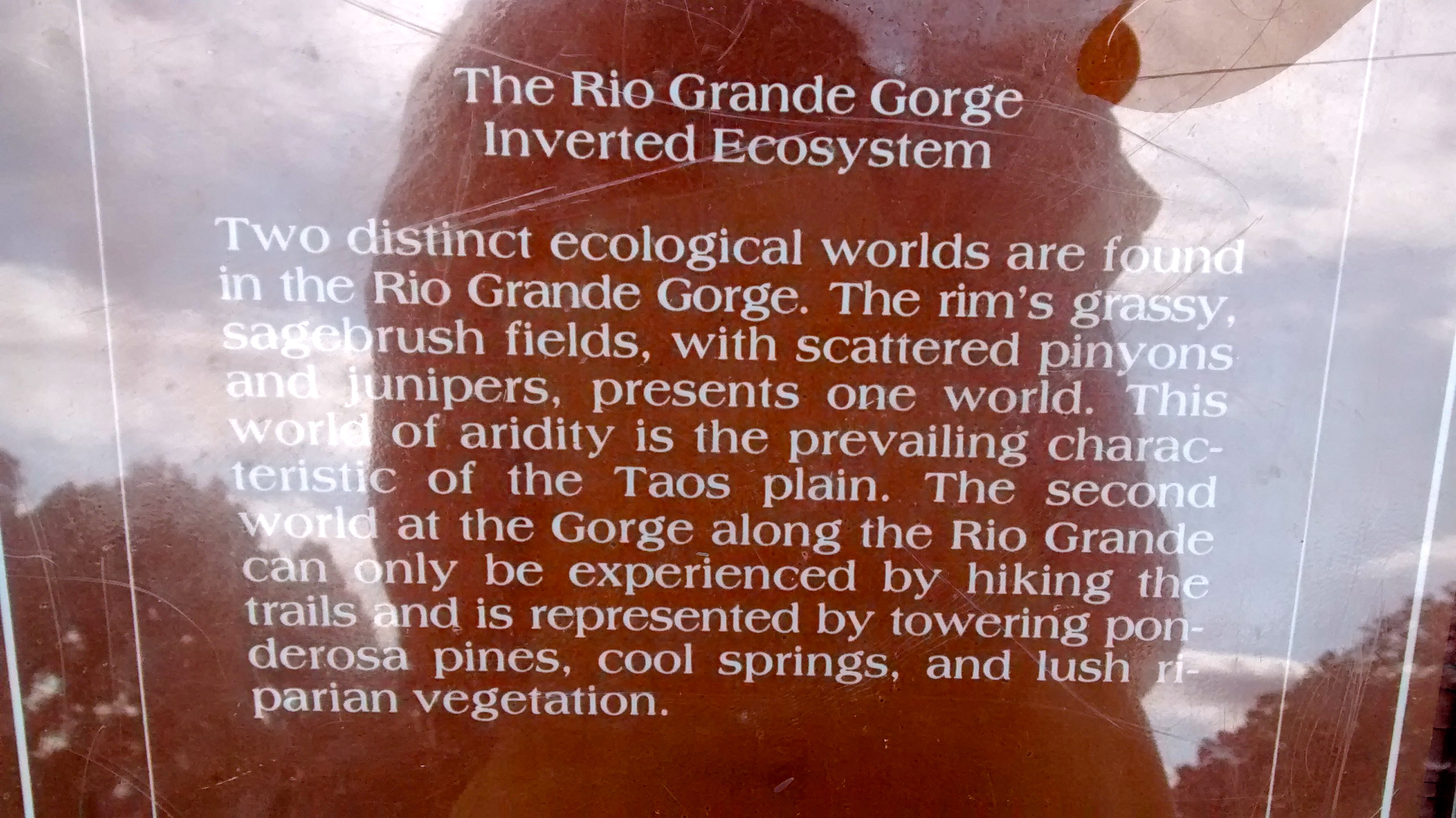
After enjoying some time at the water’s edge we continued our hike by following the trail upriver along the Rio Grande. I found it interesting that the trees here were Ponderosa Pines, while the vegetation at the top was piñon and juniper. Usually when we hike it is the Ponderosa that replaces the piñon and juniper as you hike to higher elevations, not as you hike lower. This sign explained it well.

A Reverse Ecosystem
A Reverse Ecosystem
Ponderosa Pine along Rio Grande.

IMG_7793

Two of us.

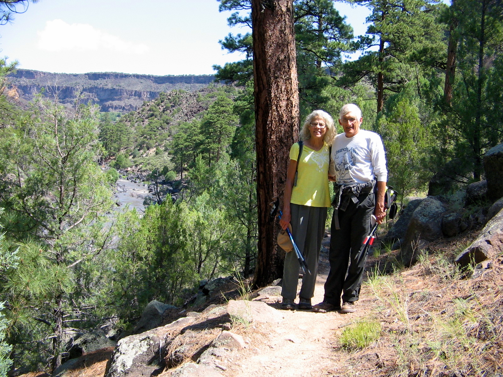
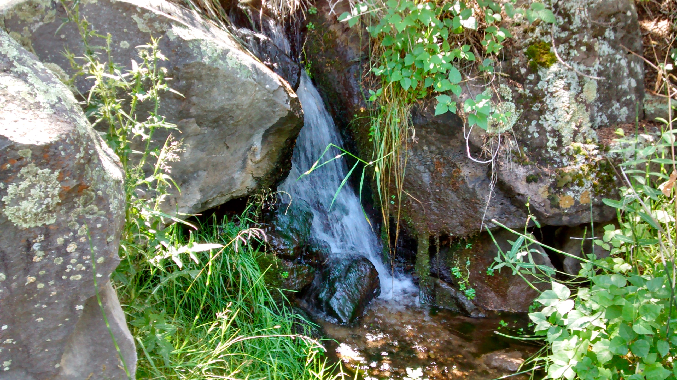
Before beginning the climb back out of the gorge we walked to a small spring that flows out of the canyon walls. The trail that we then took back up came out on top of the plateau at the campground where we were staying. We had taken that trail down and back up the evening before so we knew what to expect. Not an easy one-mile section left to hike, but at the end we were more than ready to sit at our picnic table in the shade and enjoy our well-earned lunch break.

Campsite at Wild Rivers Recreation Area.
Little Arsenic Spring.
Back up from hiking down into the gorge.

GPS Track on Every Trail

Pecos River Camping and Hiking

We started our 2-day “mini” vacation by camping overnight at Villanueva State Park, a small campground along a bend in the Pecos River about 60 miles downstream from its source high in the Sangre de Cristo Mountains. My years of living in southern New Mexico had left me with the idea that the Pecos River, after it leaves the mountainous country of northern New Mexico, is flat and boring. I had never been in this section of the state and was pleasantly surprised to find such an interesting area hidden between high sandstone bluffs along the river.

We arrived at the park in time to take a walk before dinner on the trail on the northern side of the river that leads to overlooks of the valley and village of Villanueva. After dinner we hiked the trail on the opposite side of the river, where the bluffs were even higher with more impressive views. Recent rainfalls in the mountains had caused the river to fill up with muddy water, making its color not that appealing, but if one imagined it as a flow of melted chocolate it didn’t seem so bad.

Our campsite is in the center of the photo, the small orange and white tent barely visible.
Pecos River--imagine it as a flow of melted chocolate.
Pecos River–imagine it as a flow of melted chocolate.
Looking down at Villanueva State Park Visitor Center.
The road into Villanueva State Park.
Cliff swallow nests in bluffs on hike along river.
A really rugged cross.
Desert zinnia
Desert zinnia
Sunset at Villanueva State Park from trail on top of bluffs.

Camping at Villanueva put us in a good position for the next day’s hike in the Pecos Wilderness. We had done a couple of hikes in this area before. It was nice this time to only have an hour’s drive from Villanueva campground on the Pecos River to the upper reaches of the river, instead of having to drive there all the way from Albuquerque.

The hike we chose started from Jack’s Creek campground and led us through forests and alpine meadows to a ridge with views of Pecos Baldy, a 12,500-foot peak in the Sangre de Cristos. The trail went much further than what we were wanting to do for this day hike. We hiked until lunchtime and then stopped in a meadow where we could enjoy the views as we ate our lunch. The clouds were beginning to gather and we had to get out our rain ponchos on the last mile back down. We knew we were heading back into the desert heat in Albuquerque so we didn’t mind the momentary chill as we changed out of our damp clothes and got into our car for the drive home.

Looking back at start of hike towards Jack's Creek campground.
Looking back at start of hike towards Jack’s Creek campground.
Scarlet gilia
Scarlet gilia
View of Santa Fe Baldy to the southwest.
View down Pecos River valley.  Red flowers are beardslip penstemon.  Look like scarlet gilia, until you examine them up close.
View down Pecos River valley. Red flowers are beardslip penstemon. Look like scarlet gilia, until you examine them up close.
Grove on aspen trees on hike up to ridge.
Grove of aspen trees on hike up to ridge.
The trail went much further.  We met several groups of backpackers who were coming back down after camping at the lake.
The trail went much further. We met several groups of backpackers who were coming back down after camping at the lake.
Cinquefoil
Cinquefoil
Daisy
Daisy
Harebell.
Harebell.
Hike turnaround point in meadow with view of Pecos Baldy.

GPS track of hike on Every Trail.