After several days of overcast skies, the return of clear, sunny weather today was a welcome sight. There was no better way to celebrate our anniversary than to get out and enjoy a hike. We decided to explore an area of the Ojito Wilderness we hadn’t yet seen, using a hike description from Stephen Ausherman’s book, “60 Hikes Within 60 Miles of Albuquerque.”
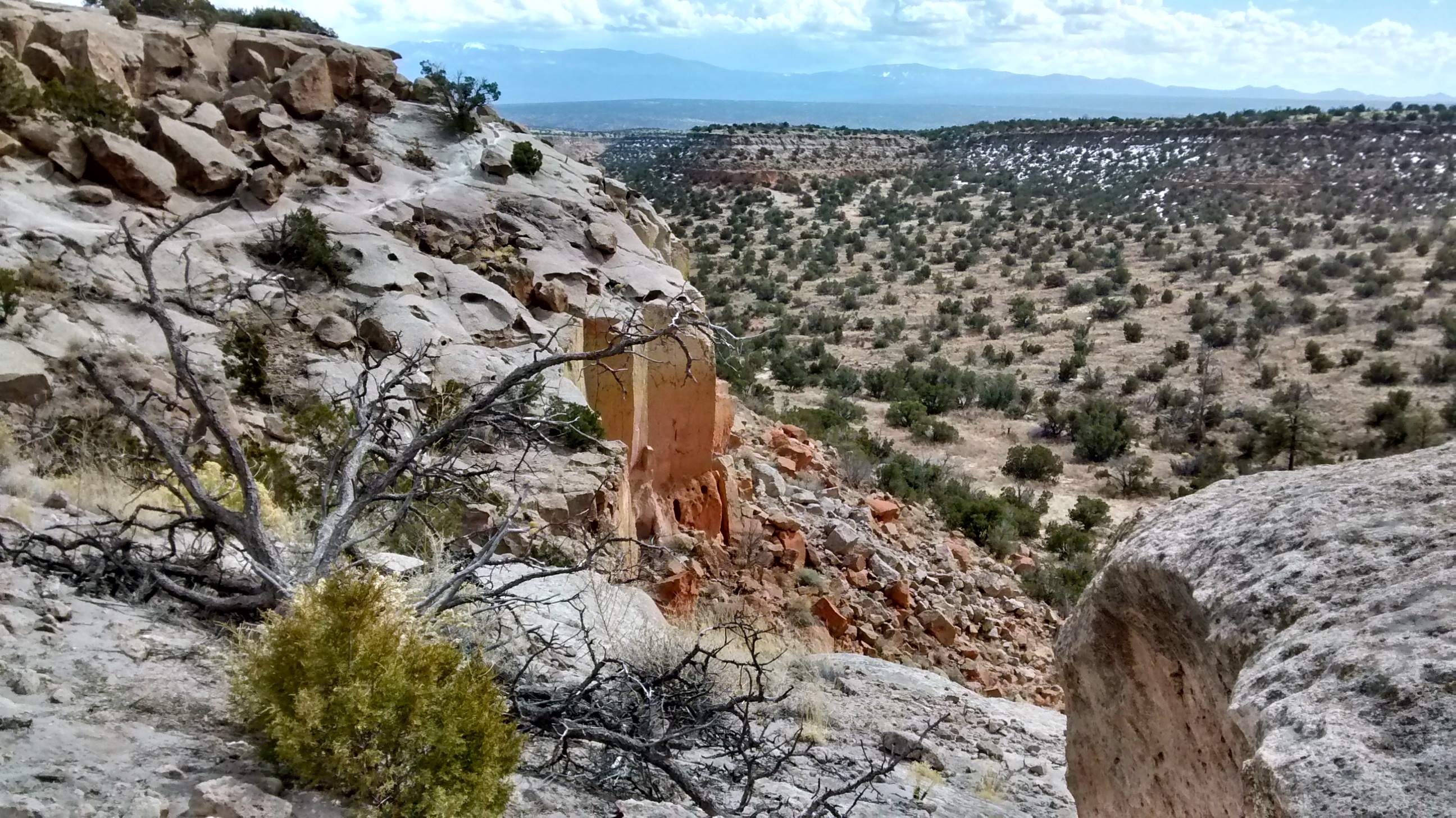
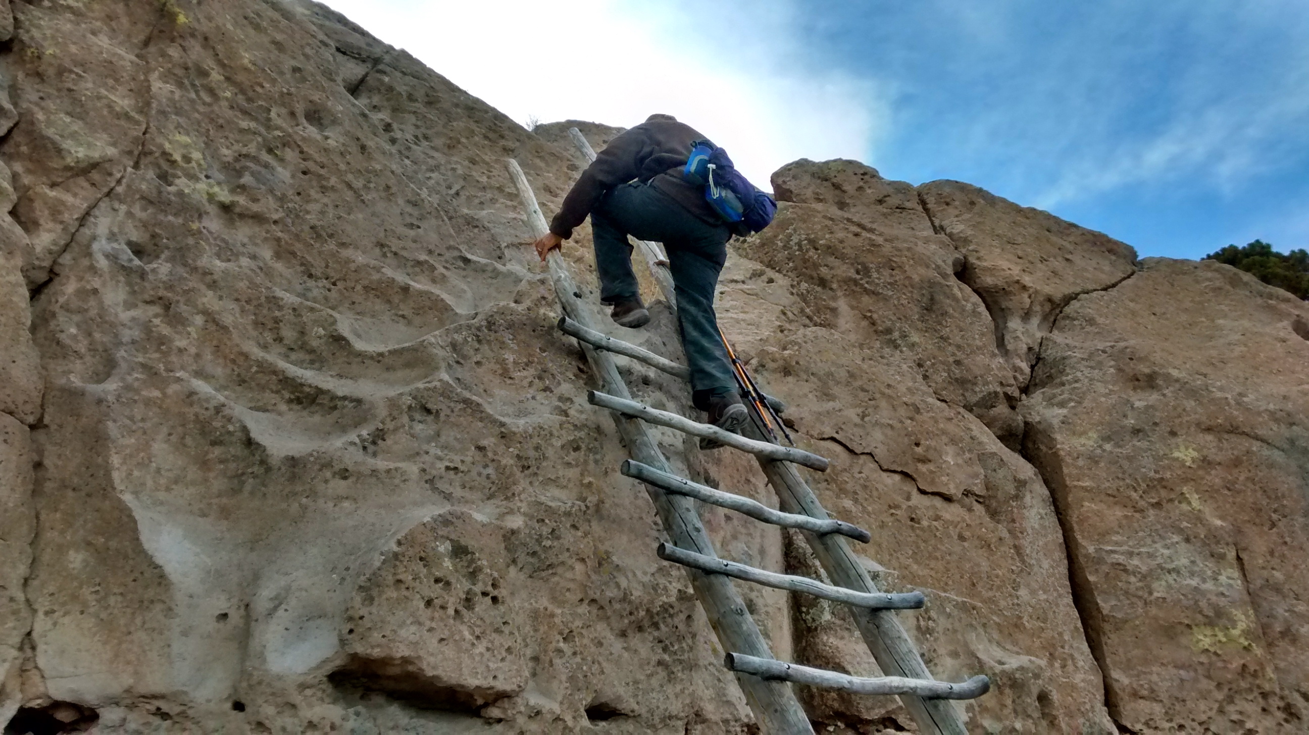
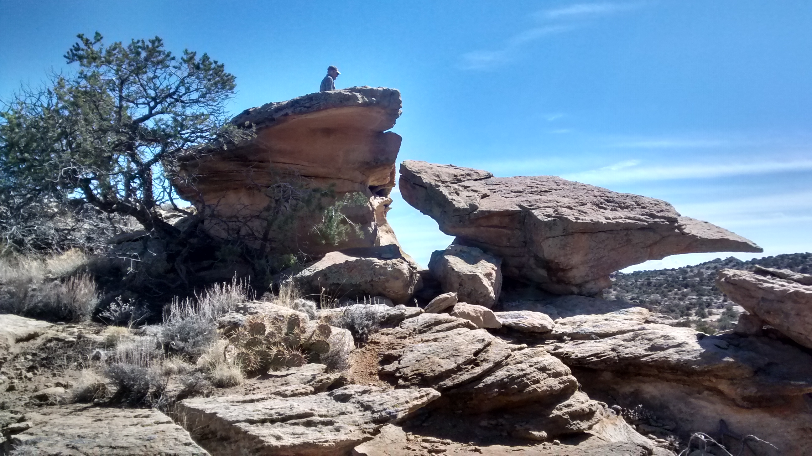
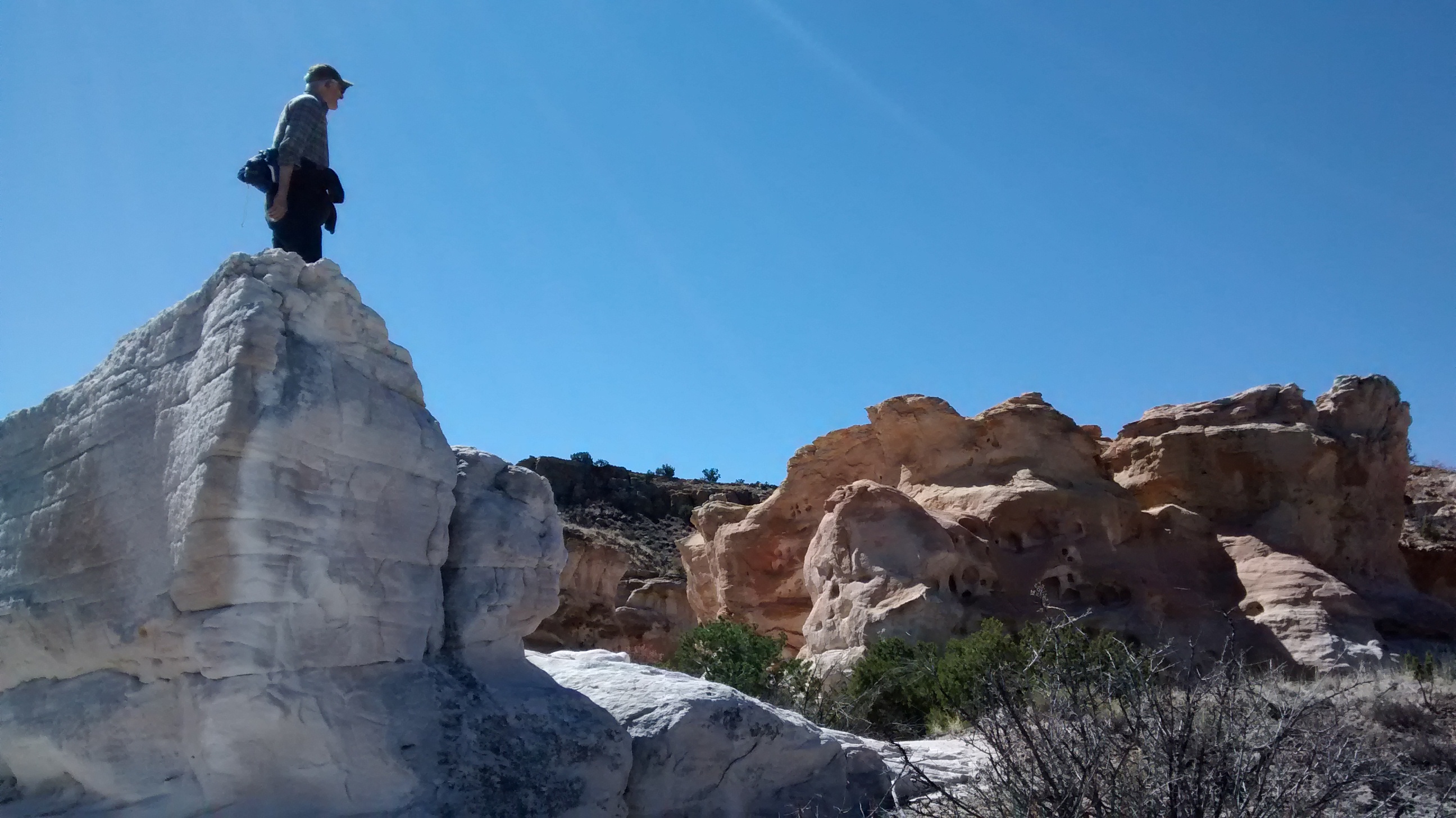
The drive into the Ojito requires a stretch on a dirt road that can get messy and muddy if there has been any rain. We don’t have a 4-wheel drive vehicle and didn’t know how far down the road we could get. After carefully going through a couple of bad spots, we were less than a mile from the parking area when it became obvious that the puddle covering the road in front of us was going to be too soft and muddy for us to get through. We knew the proposed hike was not on regular trails and we could see the mesa in front of us that we would be hiking around and over. That made it a simple decision to park the car where we were and walk in from there.
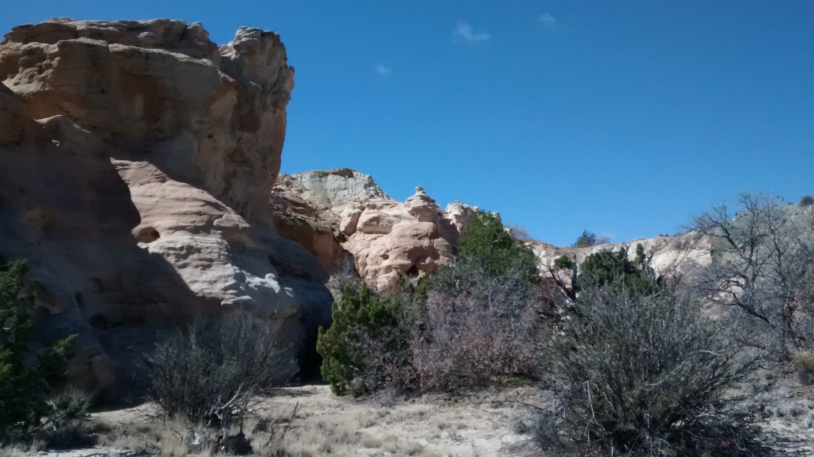
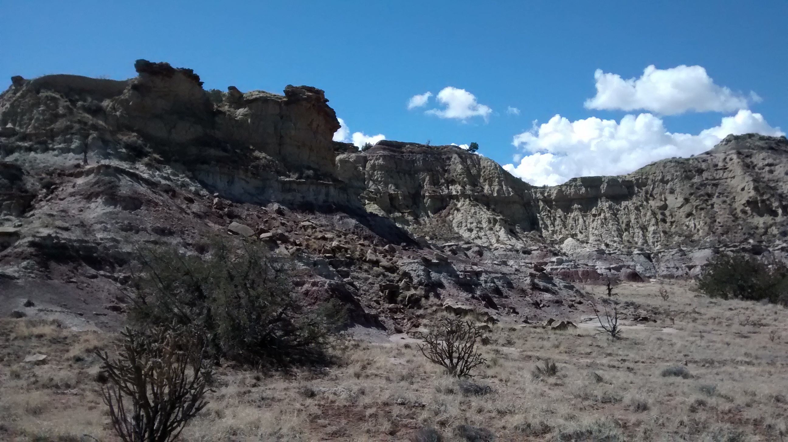
We weren’t too far along before a 4-wheel drive vehicle came roaring down the road past where we were parked and with great fanfare splashed through the mud puddle, spraying mud everywhere. Each to his own. Shortly after that a pickup went by and the folks in that crowd turned out to be target shooters, planning to spend their morning at one of the several target shooting ranges in that part of the Ojito. We got to listen to their gunshots for most of our time hiking. But, other than that, it was a great place to wander the desert badlands, making our own trails, using the familiar mountain ranges surrounding us in the distance as our directional guides.

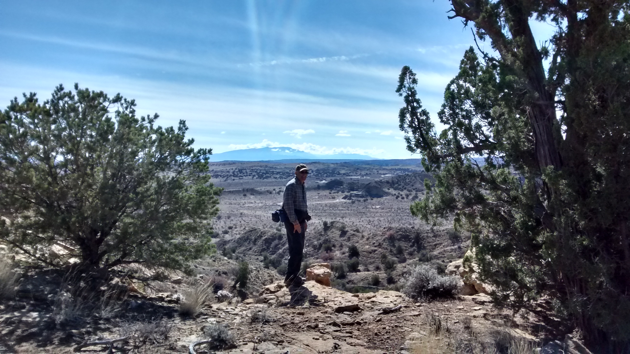


I suppose that most people would not think of an afternoon in the Ojito Wilderness as a romantic outing to celebrate a wedding anniversary. But for two people who met on a hike with the Northern Virginia Hiking Club and are fortunate enough to still be healthy and strong, it doesn’t get much better than this.