Once again, I benefit from George’s creativity and hard work capturing the Tuesday ASCHG group hike experience. Instead of having to post my photos and write a description I will link to his blog for those of you interested in seeing what we enjoyed.
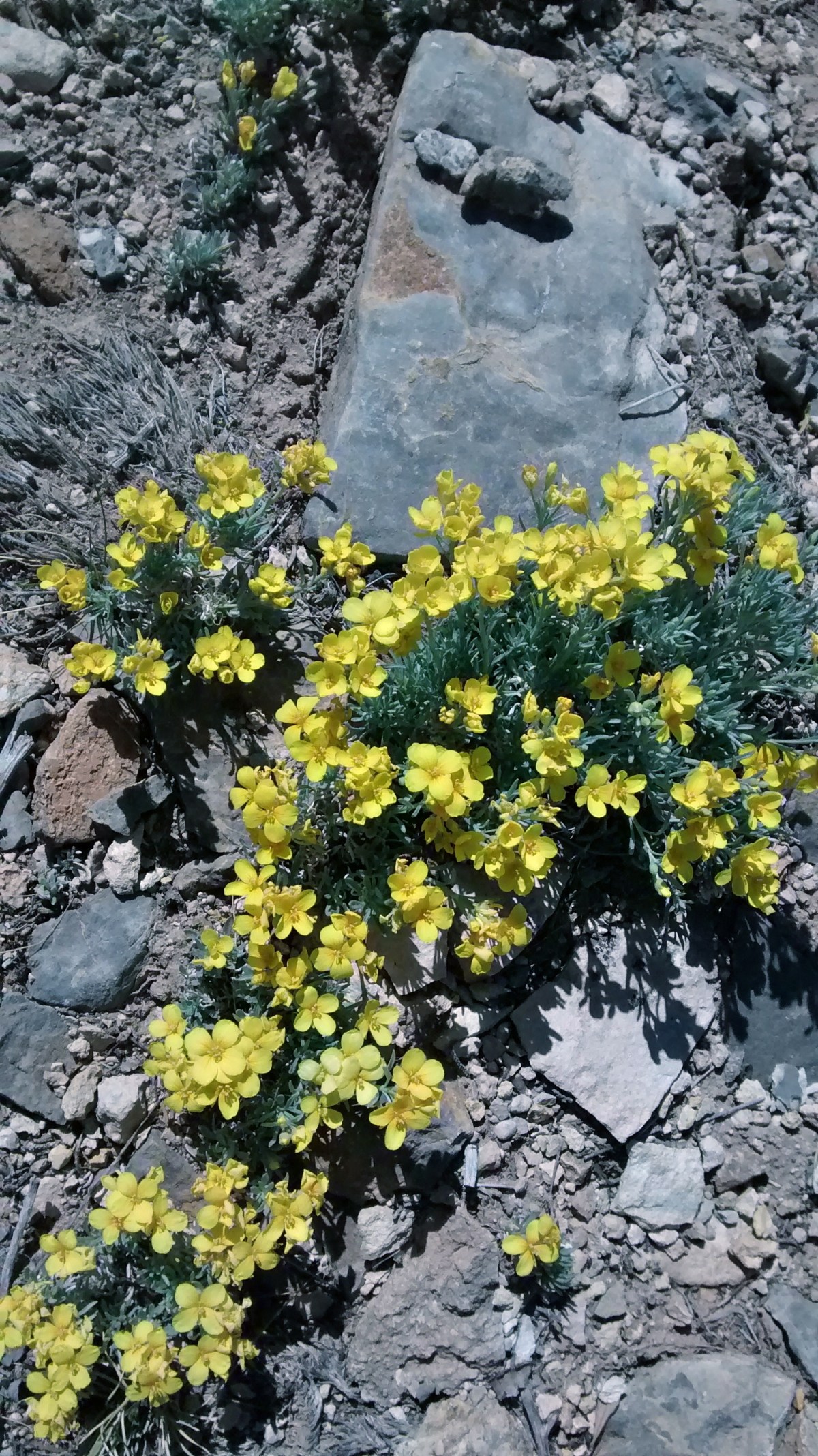
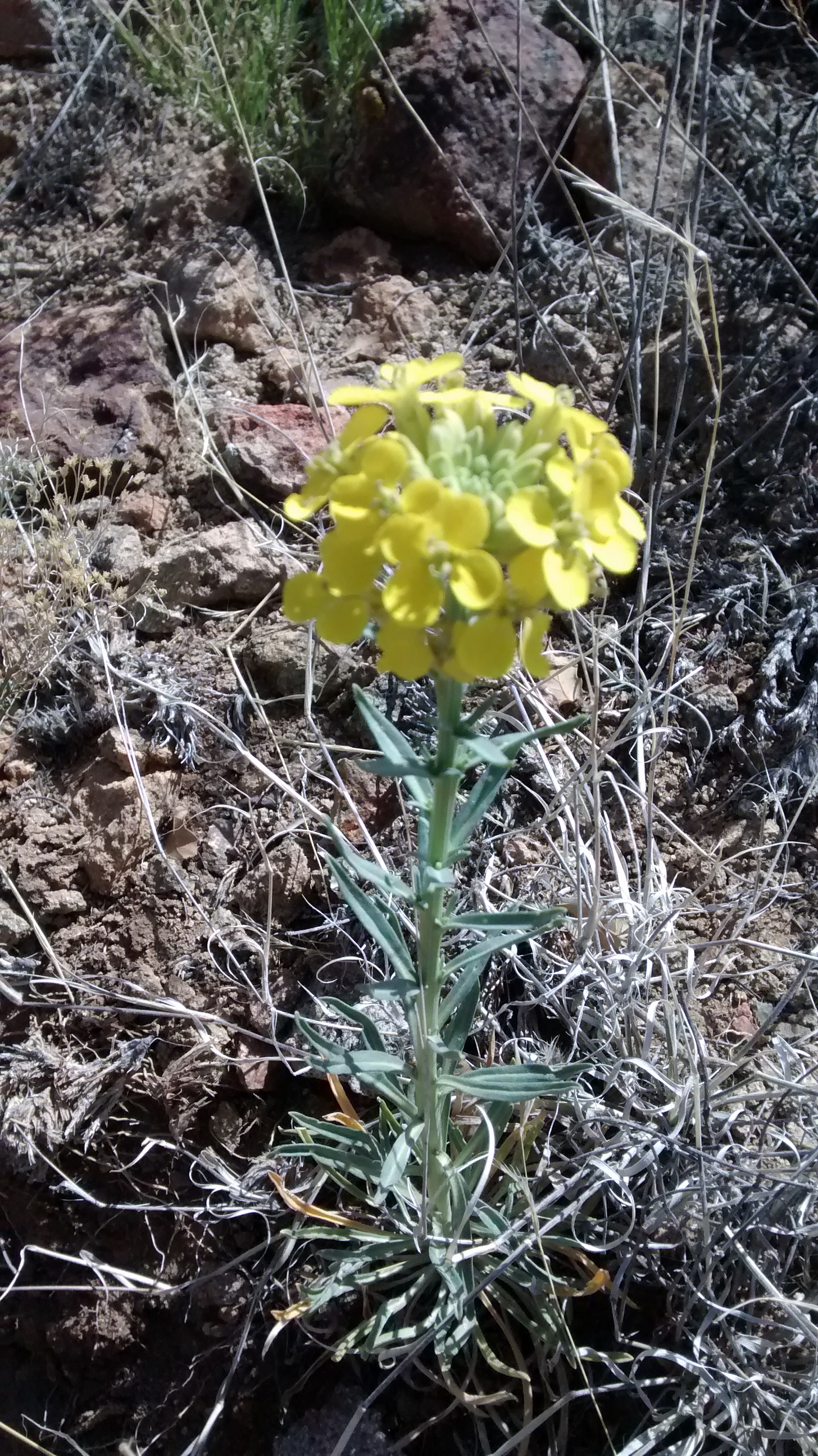
I did want to add one photo that is a close-up of the prolific yellow wildflowers we saw along the Crest Trail and along Tunnel Springs Road on the drive in. While we were hiking I couldn’t remember the name of the flower, but later identified them as Fendler’s Bladderpod. I should have remembered them from the hike we did a couple of weeks ago in the Manzanitas. Fendler’s Bladderpod
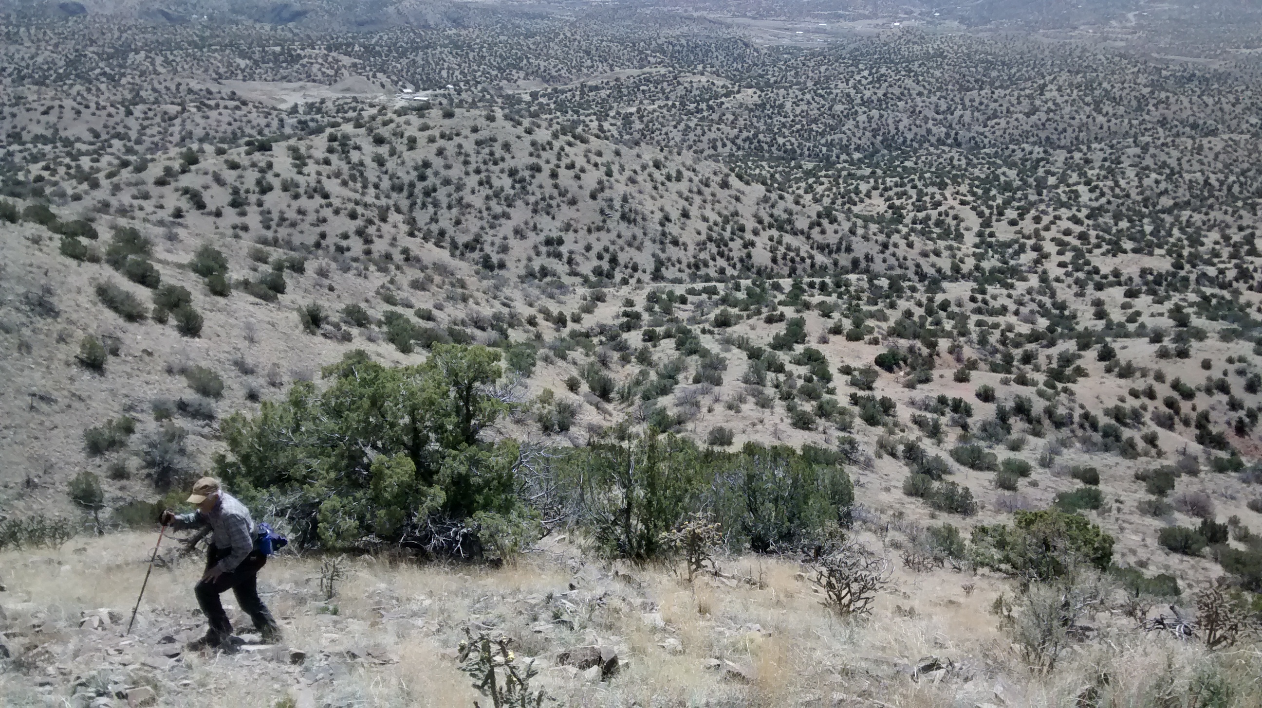
Also, a note that we did this same hike last year, but in the reverse direction, which I found much easier. Downhills are not my favorite, as you can see in some of George’s photos that show me inching slowly down the steep, rocky descent. If we are going uphill I’m usually ahead of the crowd, but on the downhills I generally trail behind.
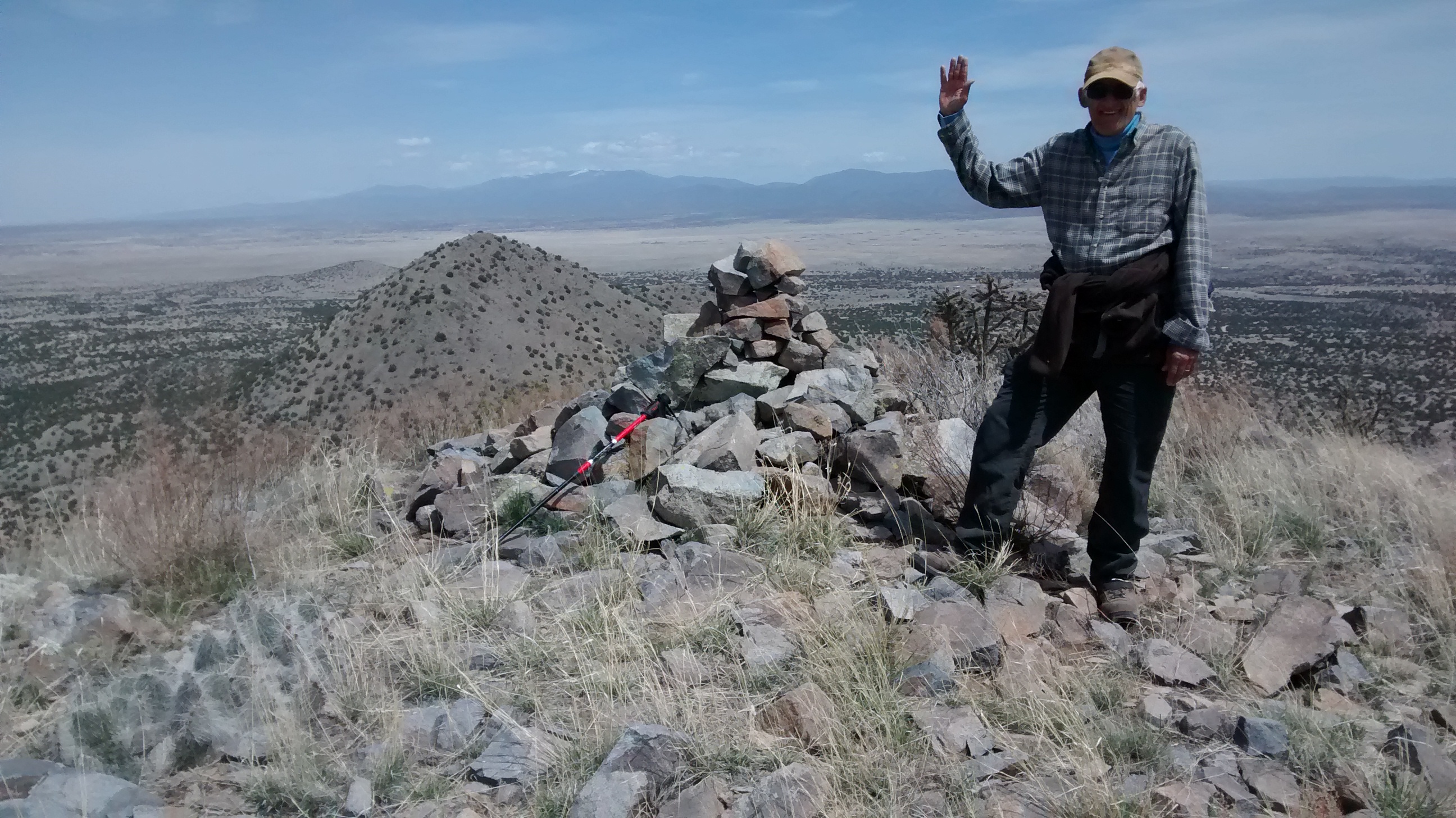
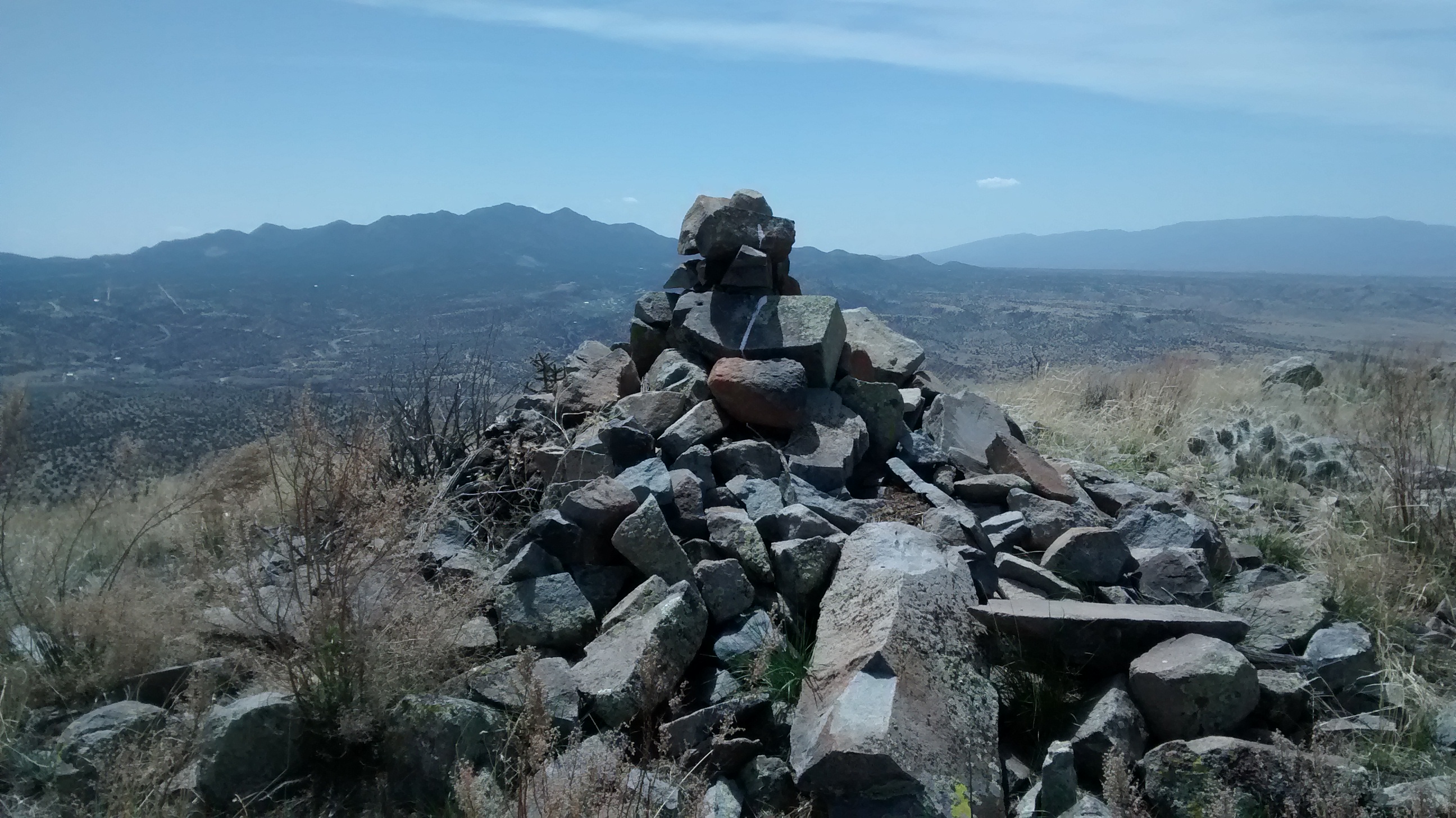
Since the Cerrillos Hills are desert country this wasn’t a ramble through brambles; rather it was a scramble through rough, rocky terrain trying to avoid slipping into the many patches of living and dead cacti blocking every turn. We weren’t always successful avoiding the cactus thorns. But we were successful at reaching our goal, the summit of Grand Central Mountain.
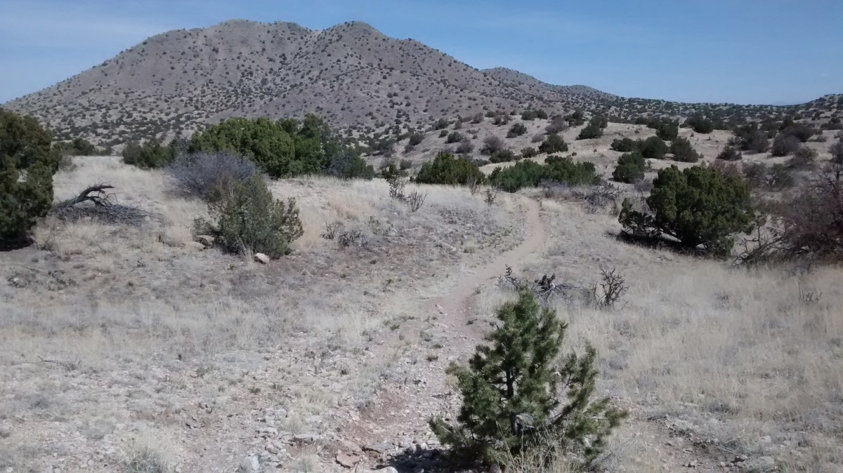
We have done several hikes at Cerrillos Hills State Park and there are many well-marked, historically interesting trails. But just north of the state park, on an area of BLM land, sits Grand Central Mountain, which has no official trail for climbing to the top. We got close to it on one of our hikes awhile back and have always meant to go back there and make our way to the top. Today seemed like a good day to do the climb.
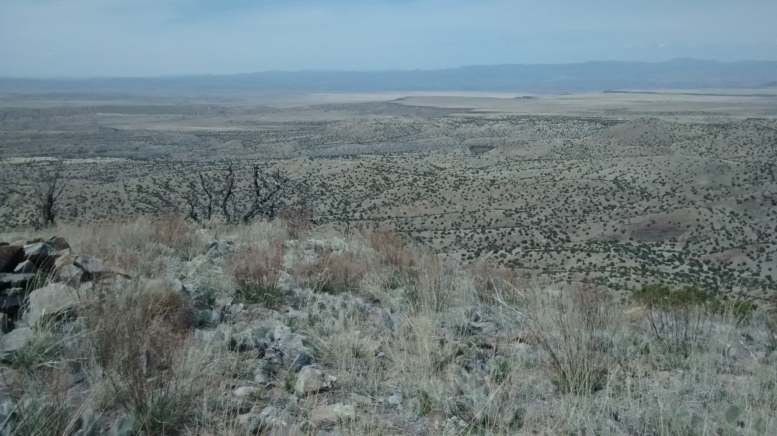
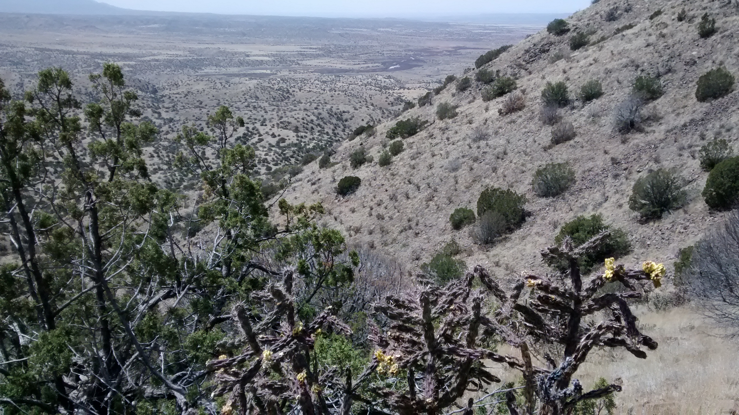
The trails in the state park that you start off on are quite a contrast to what you have to do once you leave the northernmost trail and head off towards the mountain. It’s not like this is a huge mountain, but the terrain is really rough. Cerrillos Hills look fairly benign from the distance but once you get in amongst them, there are sharp dips and steep inclines up and down through arroyos and over loose rocks and boulders. Hiking off trails through dry grasses and sticker bushes requires high-top boots or gaiters, neither of which I have, so I’m constanly complaining about getting my boots full of prickly debris.
We couldn’t have picked a better day, though, for doing this hike. In the morning it looked like it could become a windy, New Mexico spring day, but the winds seemed to die down as the day progressed. There was just enough of a breeze to keep us from getting too hot. It was a struggle on the steepest slopes, but once we got back down and on the main trail I forgot all about my complaints and was thankful for another day of great hiking.
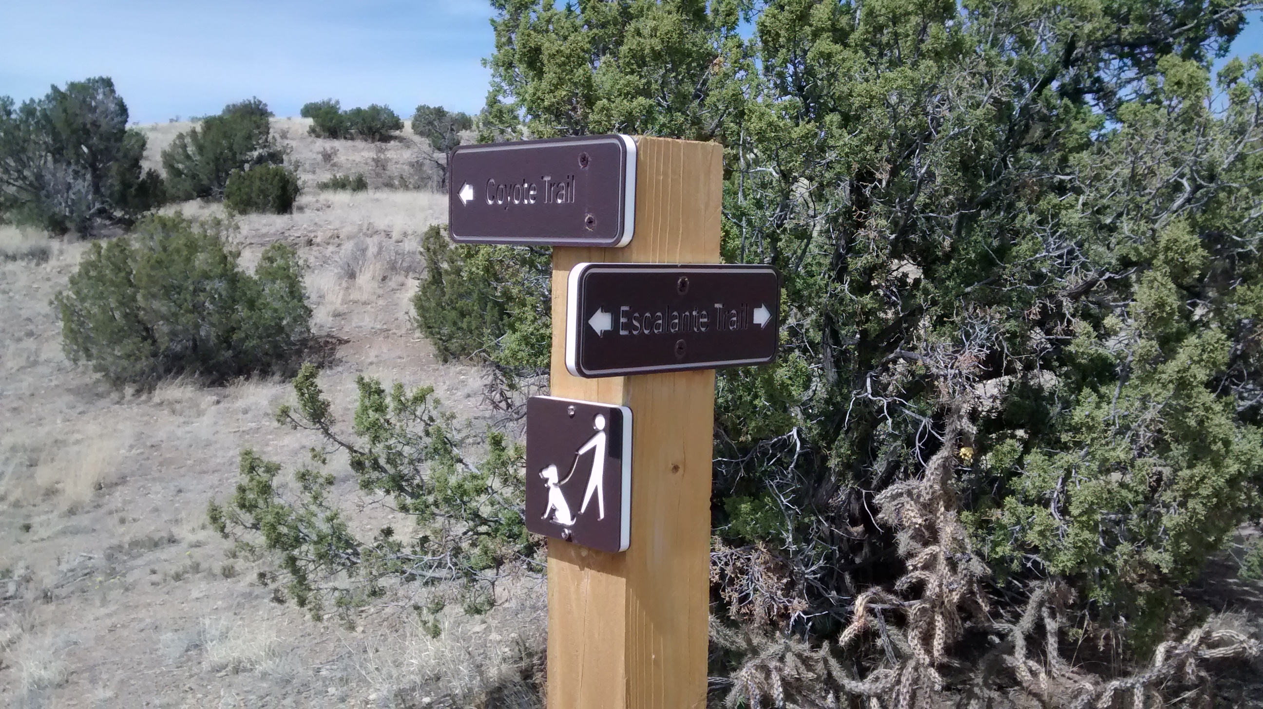
Lots of nice signposts on the trails in the State Park.Last chance for smiling and a rest before heading off trail through rough terrain.Grand Central Mountain up ahead.Ortiz Mountains and town of Madrid to the south.Tough climbing
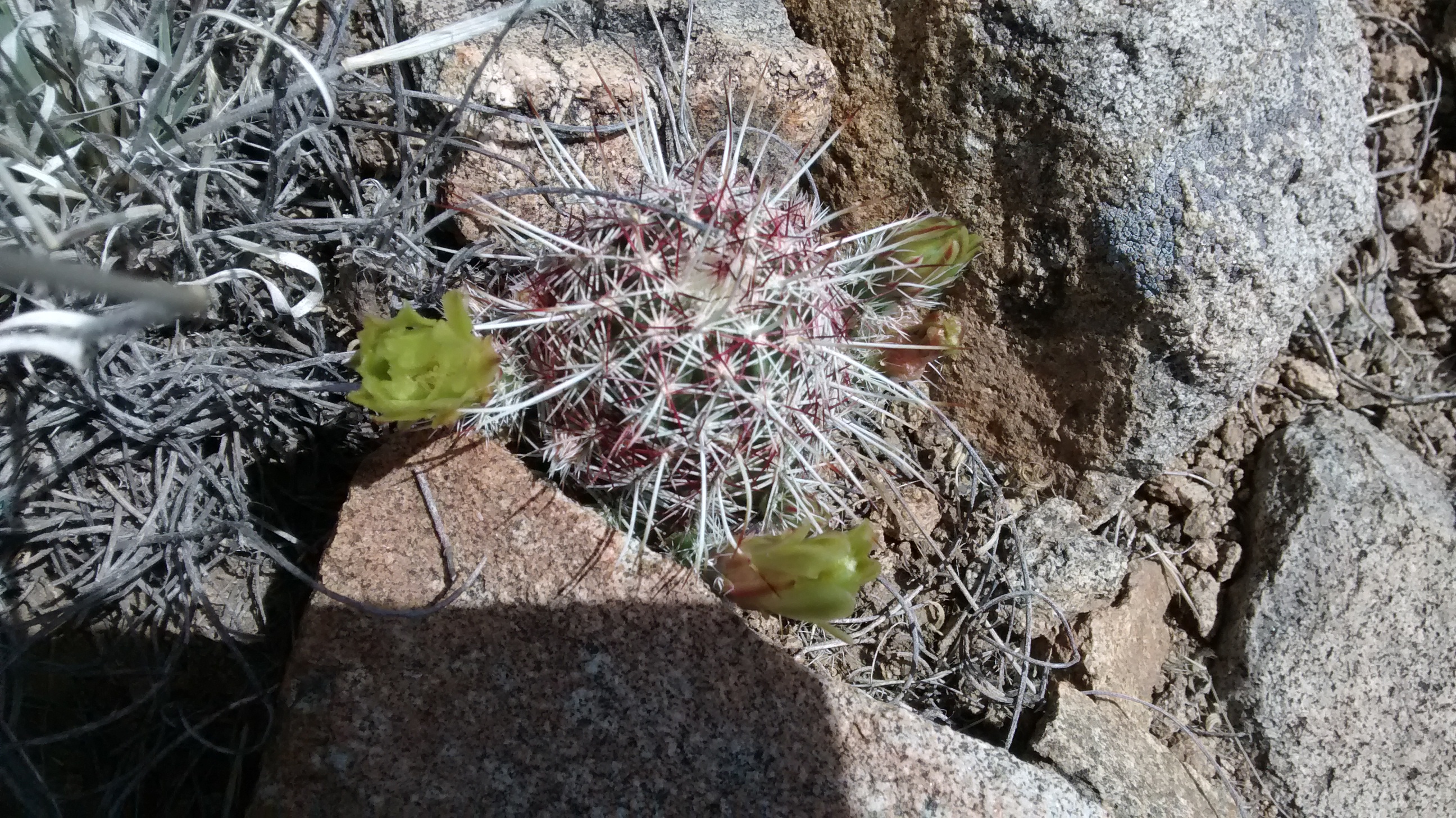
At the summit looking north towards Santa Fe.La Bajada Mesa in the distance.View south from summit. Ortiz Mountains with Sandia Mountains in far distance.View of Galisteo Creek.Most common flower seen today was Western Wallflower.Green-flowered hedgehog.