Weather is always an unpredictable factor in planning a camping trip, especially if you plan to camp in Colorado. The rugged beauty of Colorado mountains and valleys is a big draw, but all of that lush greenery doesn’t get there by magic. It takes winter snow and summer rain and lots of it.
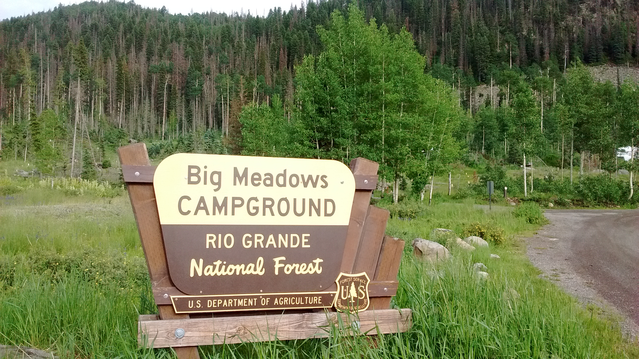
We experienced some of that summer Colorado rain this week when we set out for South Fork, Colorado, to camp and hike for a couple of days in the Rio Grande National Forest. When we arrived Monday afternoon we barely had time to set up our tent before a thunderstorm blew in through the mountain pass drenching everything and dropping the temperature about 15 degrees. Fortunately, it stopped raining before dinnertime and we were able to crawl out of the tent to cook dinner and then take an evening walk around the reservoir before dark.
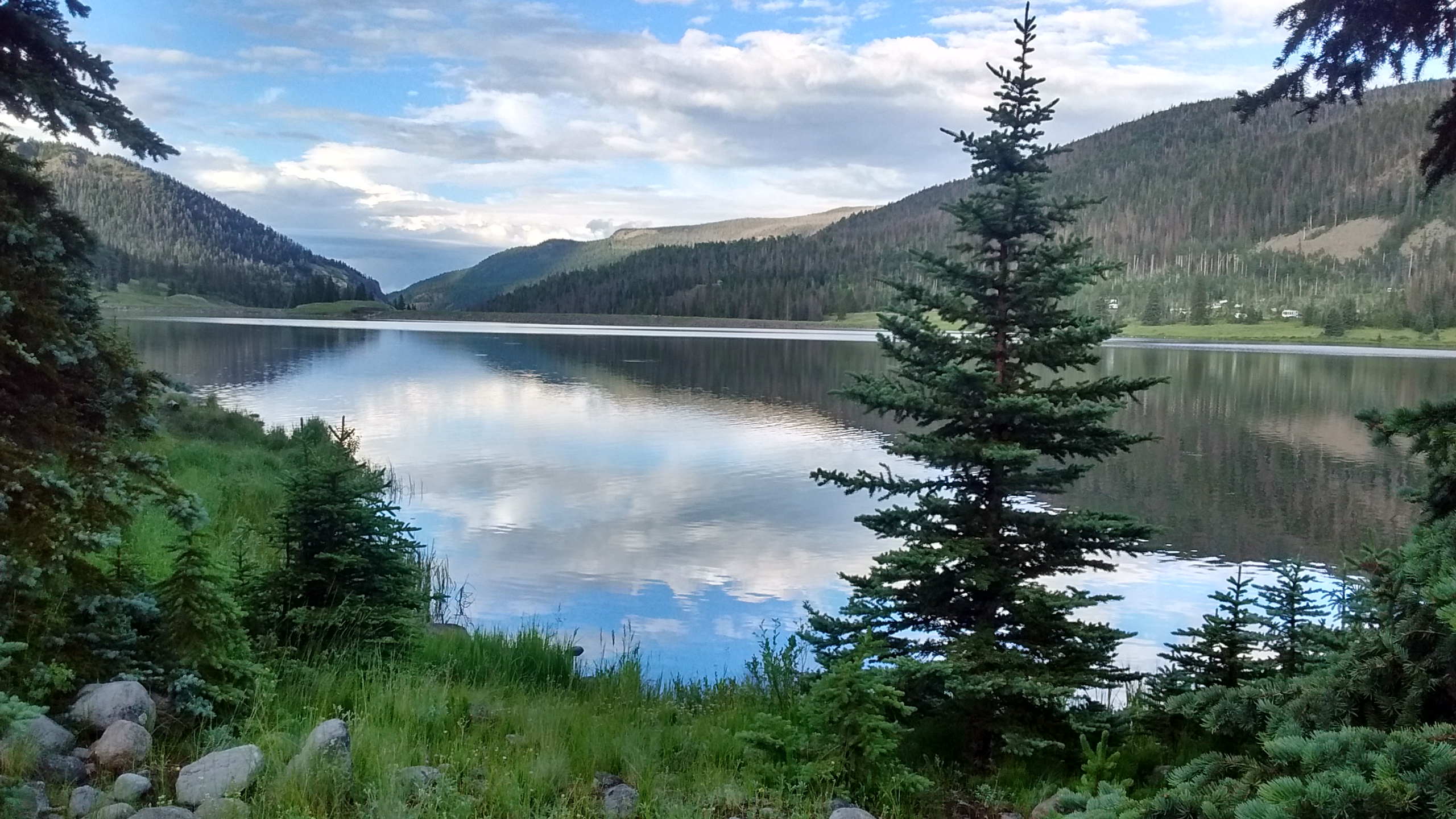
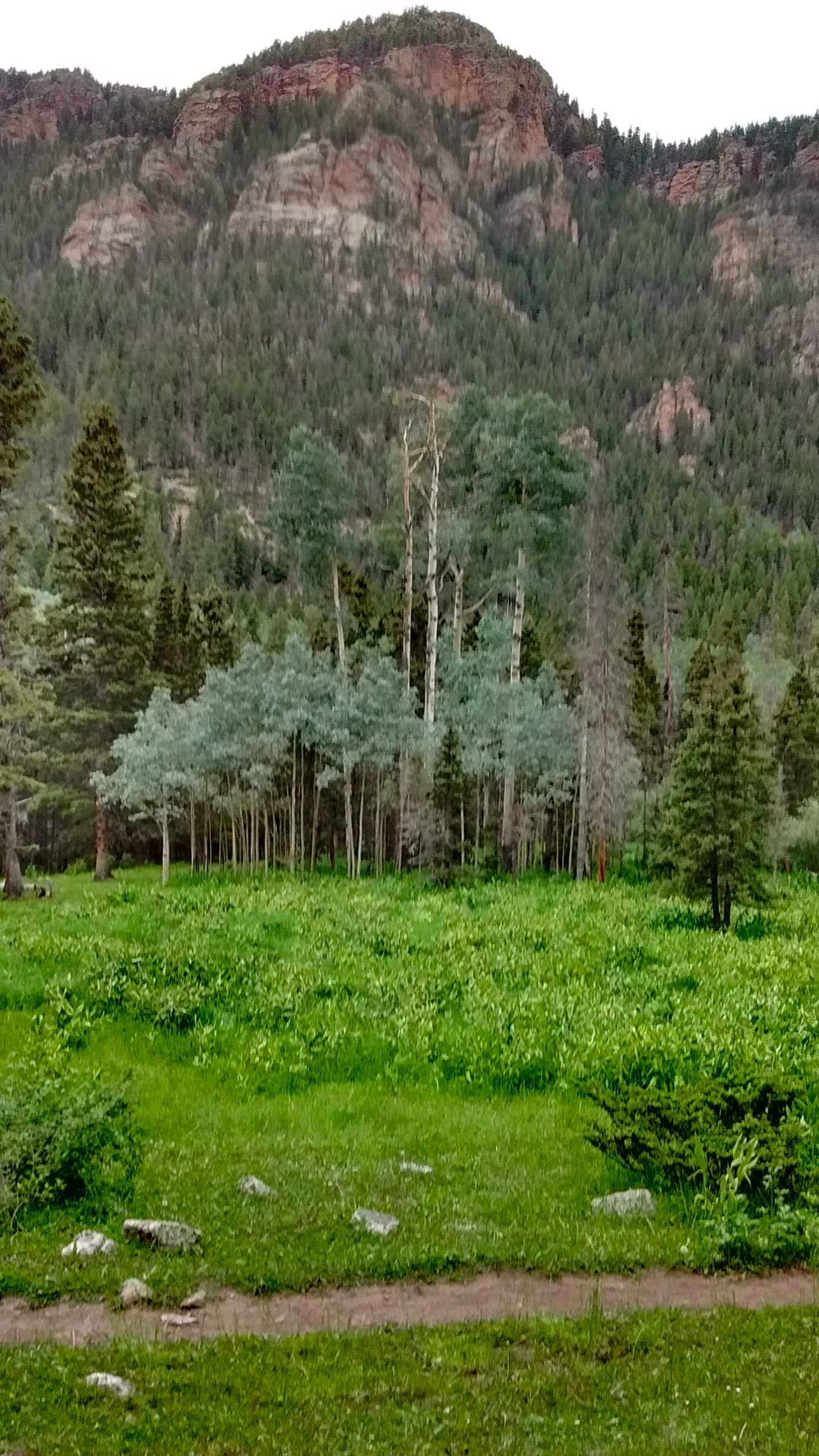
Big Meadows Campground is along the shore of Big Meadows Reservoir. Spruce beetle infestation has killed many of the trees.Looking north from trail around Big Meadows Reservoir. Campground is visible on the east shore.From north end of Big Meadows Reservoir, the South Fork of the Rio Grande flows north to join the Rio Grande River.
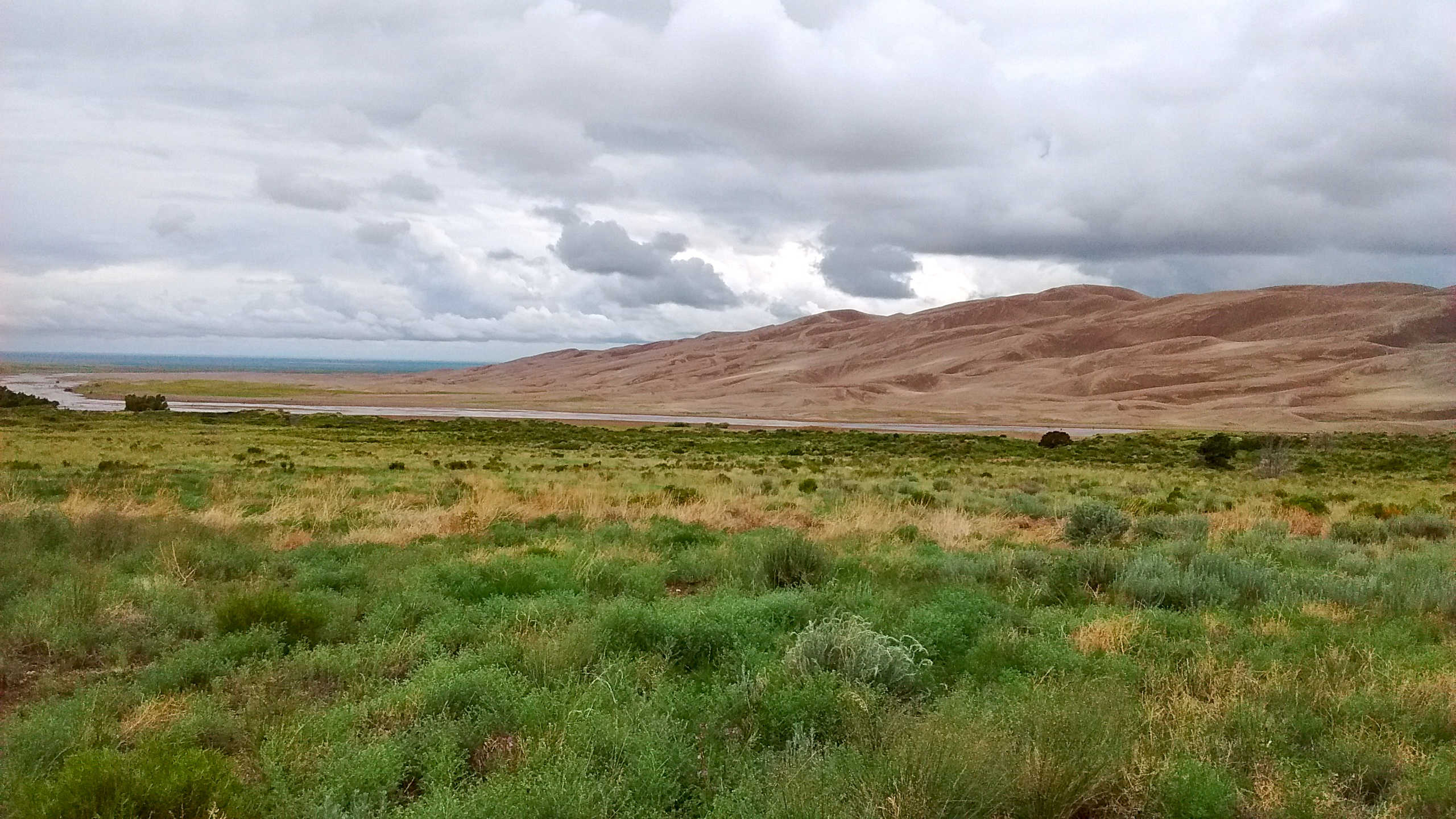
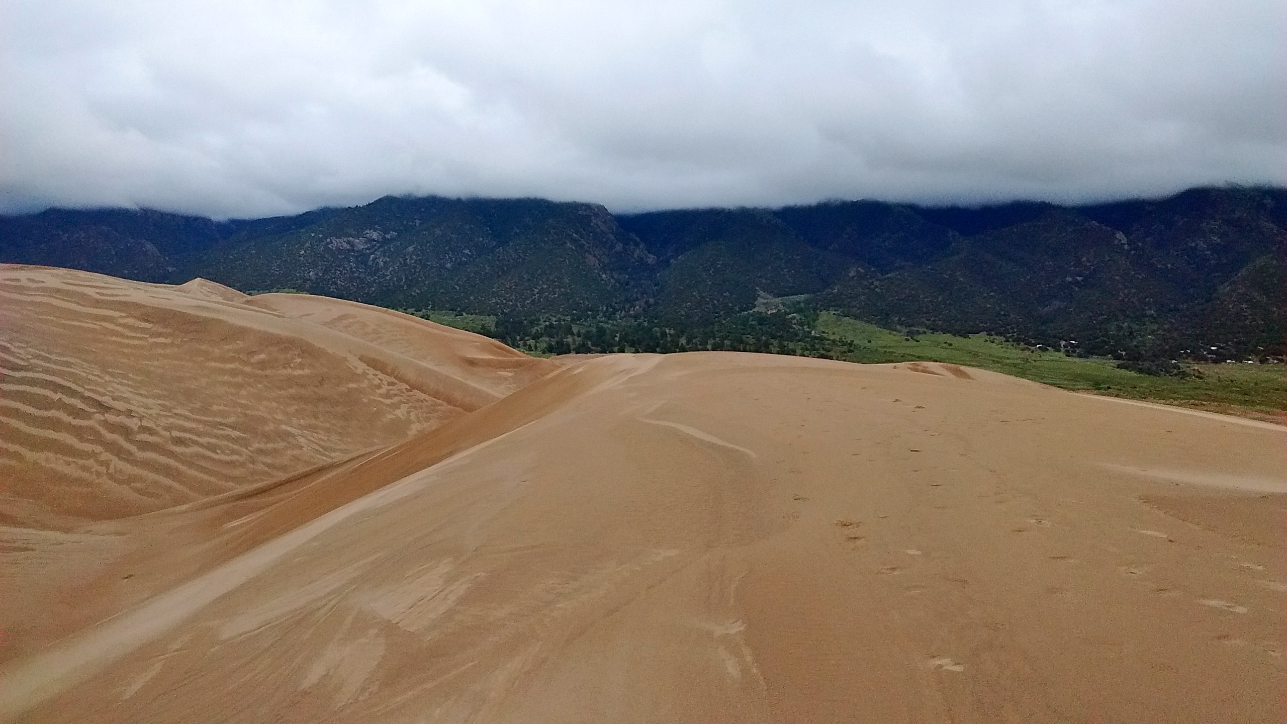
Throughout the night Monday we were periodically awakened by the sound of rain and thunder. Although we stayed dry in our tent, by the next morning it was obvious the day would be too cold and wet for the hike we had planned in the nearby mountains. Instead, we drove back south about 50 miles to the San Luis Valley, where we spent the day exploring Great Sand Dunes National Park. It was cloudy all day, even in the valley, and the temperatures barely warmed up to 60 degrees.
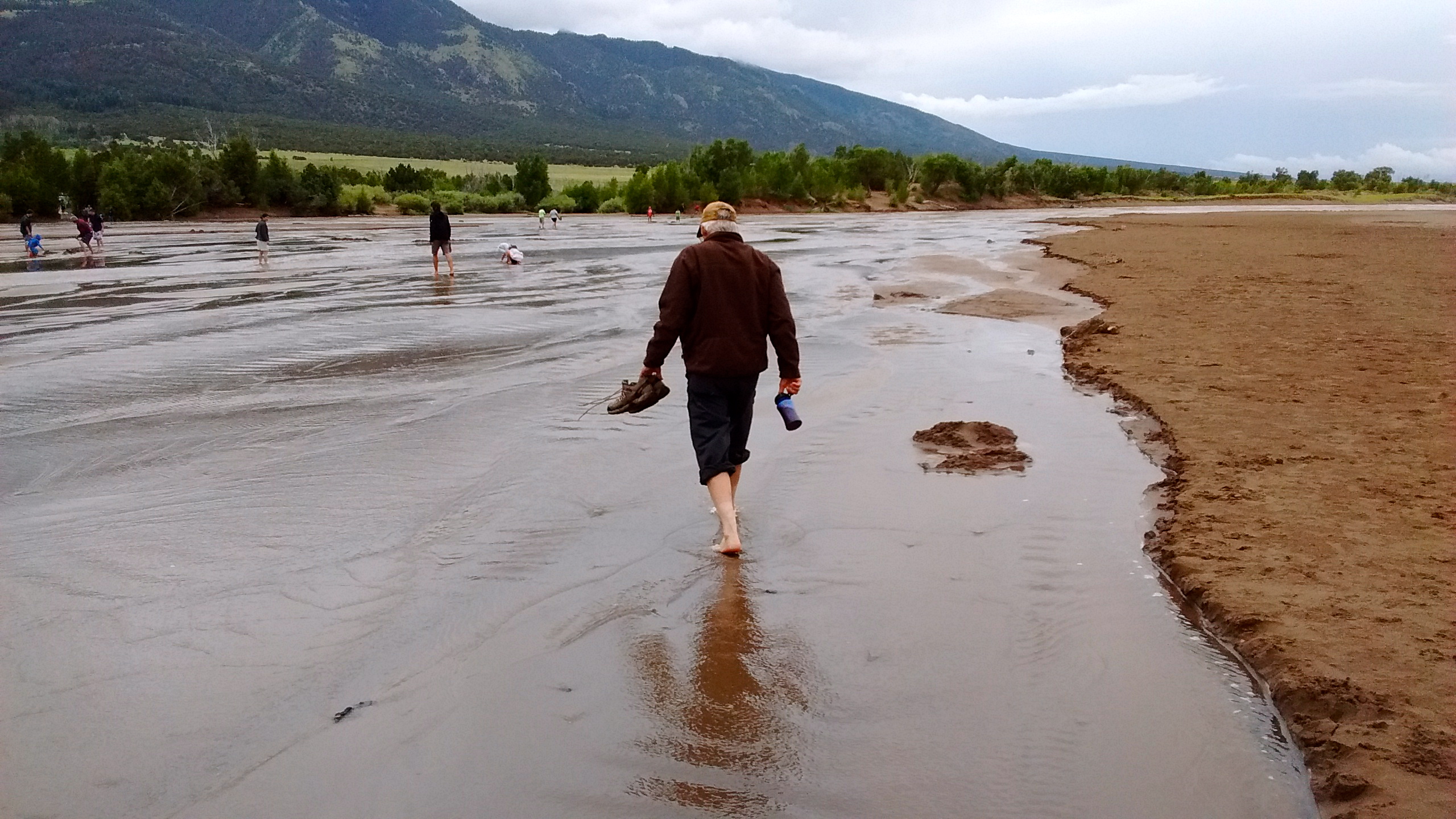
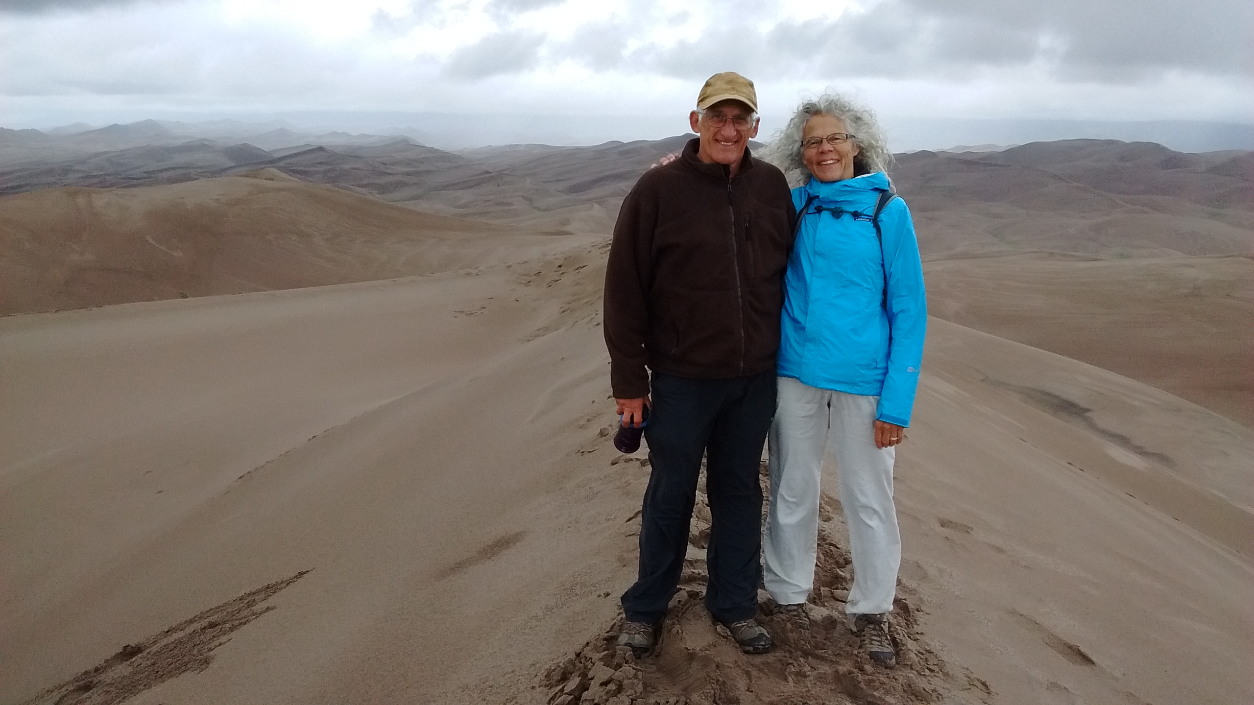
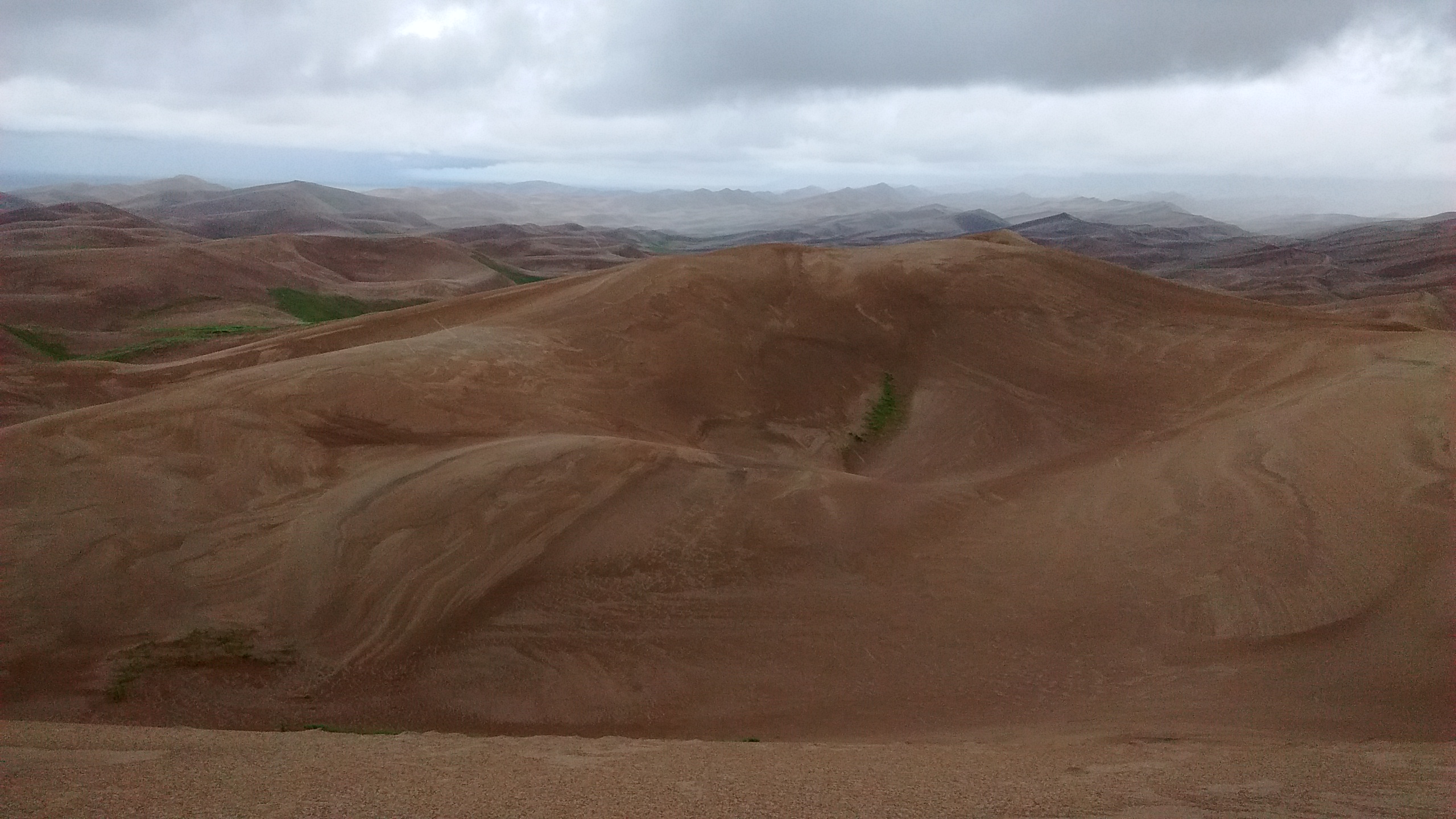
The dunes are behind Medano Creek.The only way to get to the dunes was to wade across Medano Creek. This is wading back across to the visitor center after we climbed the dunes.Cloudy day meant we missed the view of Sangre de Cristo Mountains as the backdrop to the dunes.Cloudy day had its advantage. It was a long hike to the highest dune and would have been very hot on a sunny day.Tough hiking, but we made it to the top of the highest dune.These dunes are massive. We only saw a small portion of them.
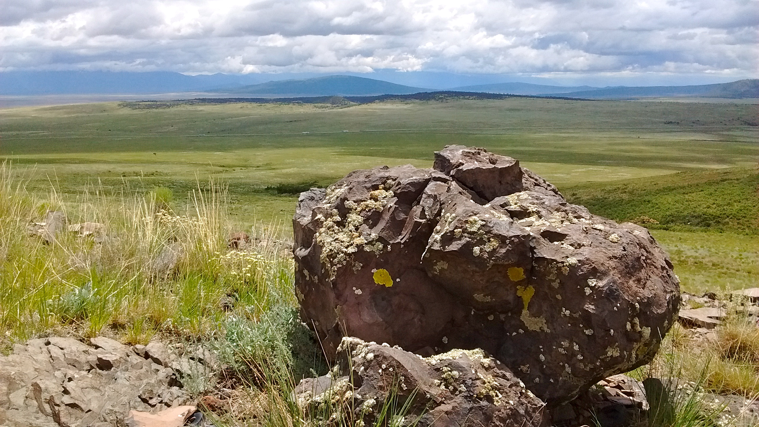
By Wednesday morning we were ready to pack up and head back to New Mexico where there was a better chance of clear skies and warmer temperatures. On our way to Colorado, traveling on US285, just before the Colorado border, we had noticed the interesting peak, San Antonio Mountain, just west of the highway. It sits by itself out in the sagebrush plains on the west side of the Rio Grande Del Norte National Monument. There aren’t any established trails on the mountain, but it is BLM land, open to the public, except for one small area of private land. We decided that on our way back to Albuquerque we would stop there and investigate.
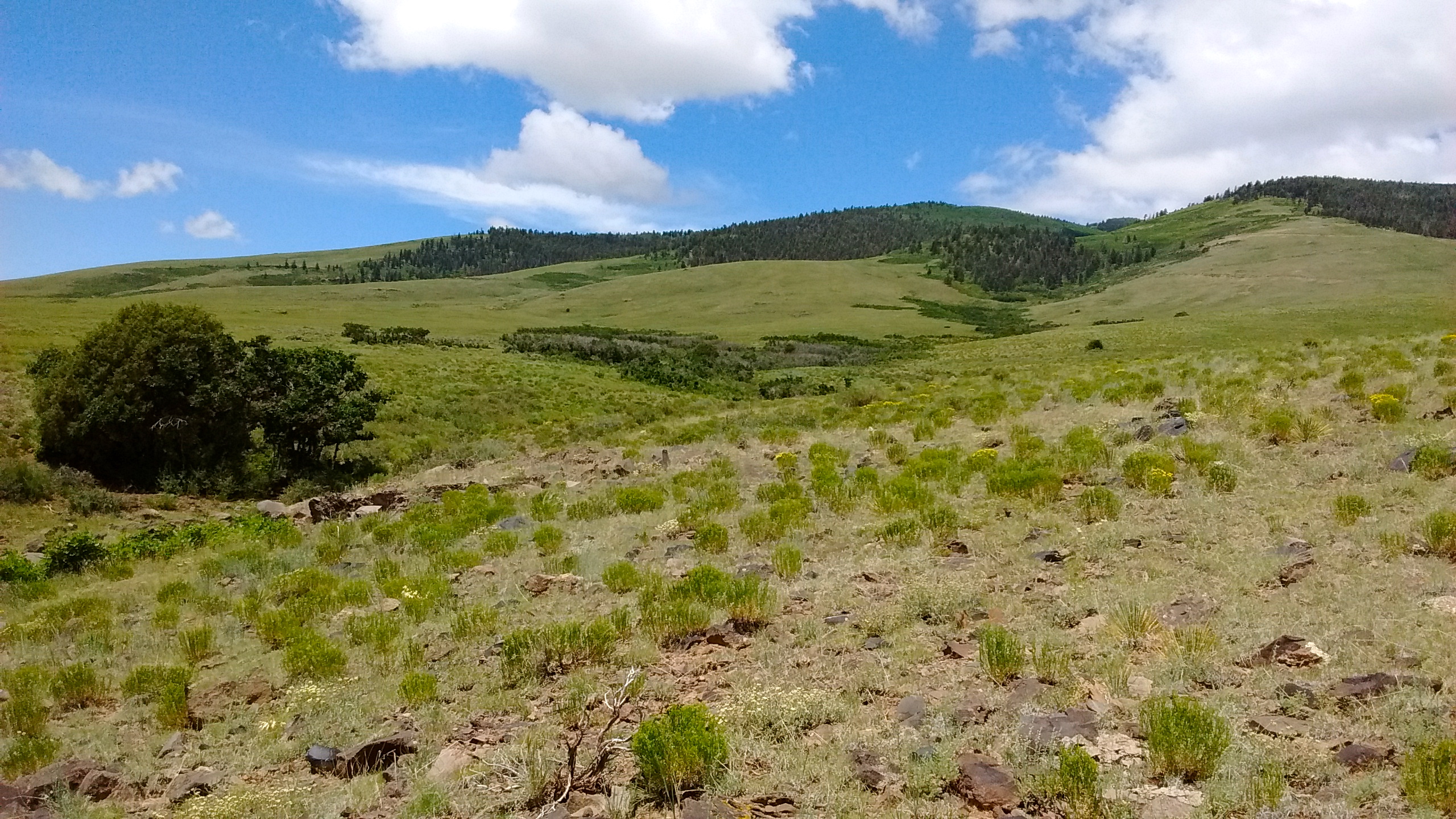
The one road access from US285 dead ends at a fence with a closed gate, blocking the way to the private land. We parked our car by the gate and then began our trek around the private land and up the grassy slope of the mountain. We didn’t make it all the way to the top, but had a good time looking at wildflowers and the views to the east. All that open land and blue skies was a nice welcome back to New Mexico.
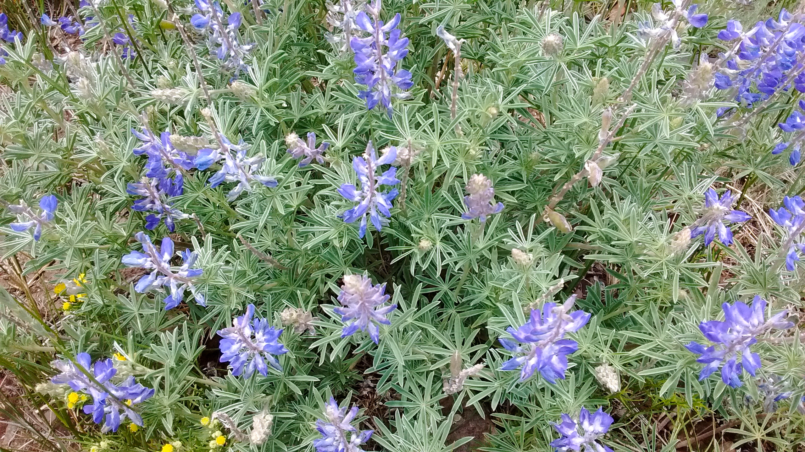
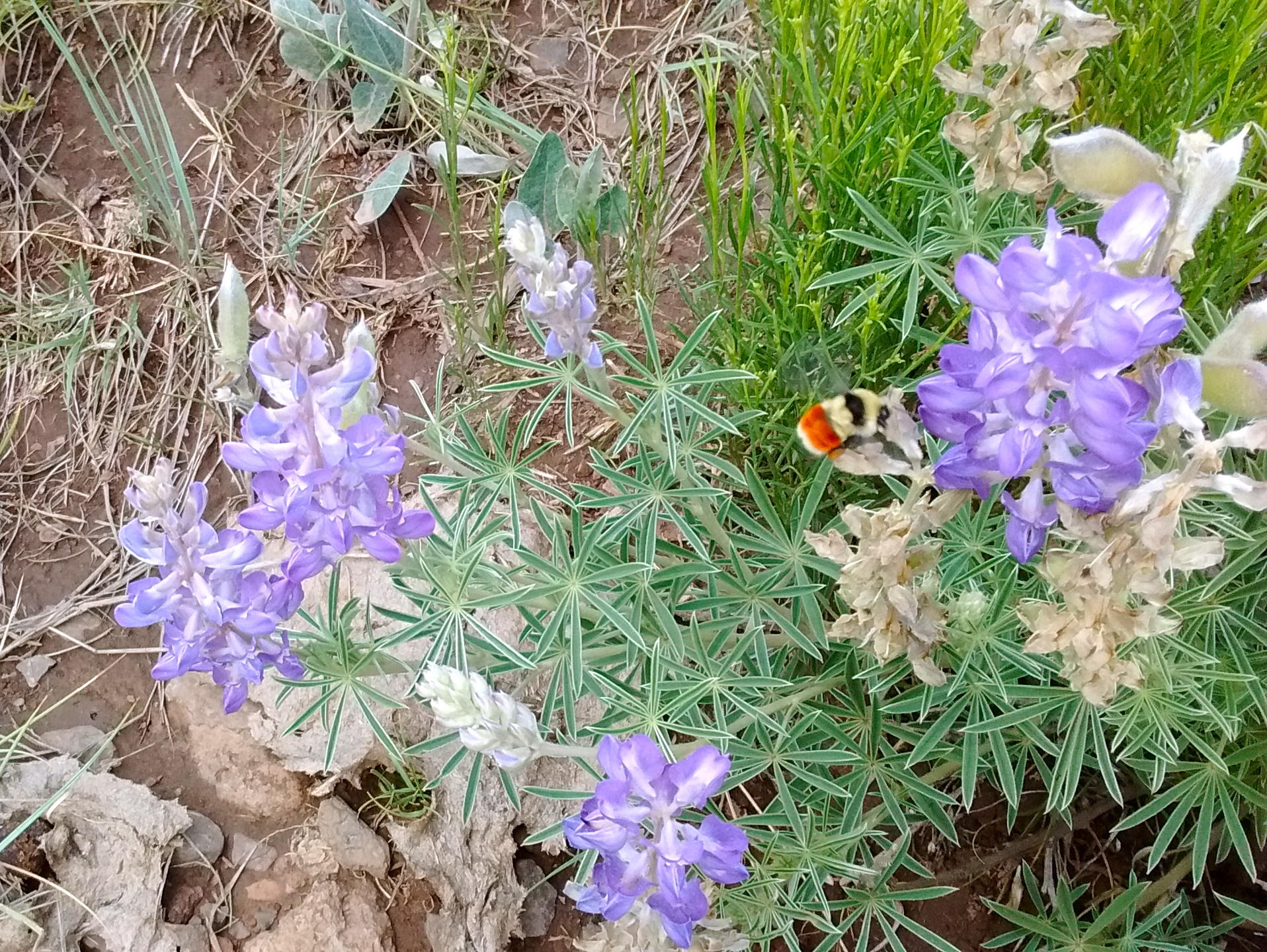
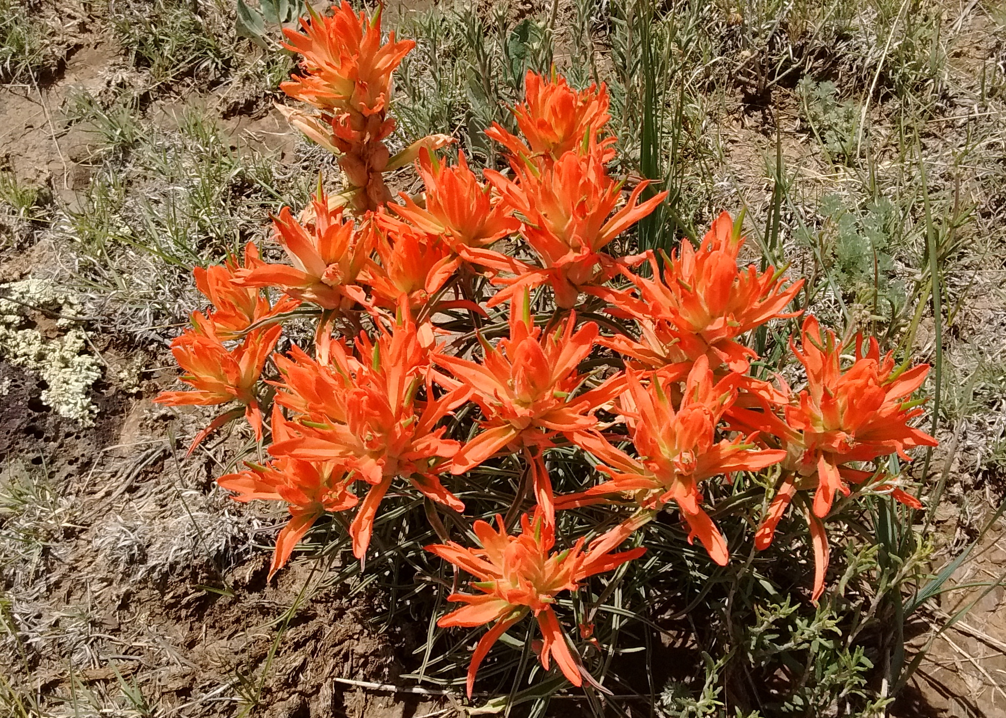
Not as green as Colorado but nice to see some blue sky.Walking across field towards San Antonio Mountain.Lupine on San Antonio MountainInteresting to watch a bumblebee as it pollinated the lupine flowers.Indian paintbrush on San Antonio Mountain.From partway up San Antonio Mountain looking east. Highway 285 in the distance and beyond that Ute Mountain on Rio Grande del Norte National Monument.
The hiking experience is greatly enhanced when driving time to the start of a hike is minimized. We live in a city that is surrounded by opportunities for many great day hikes and we have taken advantage of that in the 2 1/2 years we’ve lived here. But our hiking experience this week was extra special because we were able to do 2 10-mile hikes in a beautiful wilderness area and didn’t have to spend time driving either morning to start the hikes.
At the suggestion of our friends, Ken and Sue, who had been in the area before, we camped Monday and Tuesday at the Santa Barbara campground in the Carson National Forest, just north of the Pecos Wilderness. We shared a campsite with them both nights and they helped us plan a 10-mile hike Tuesday and another 10-mile hike Wednesday before we headed back to Albuquerque. They are experienced backpackers and their plan Wednesday was to head further into the wilderness for 3 days of backpacking.
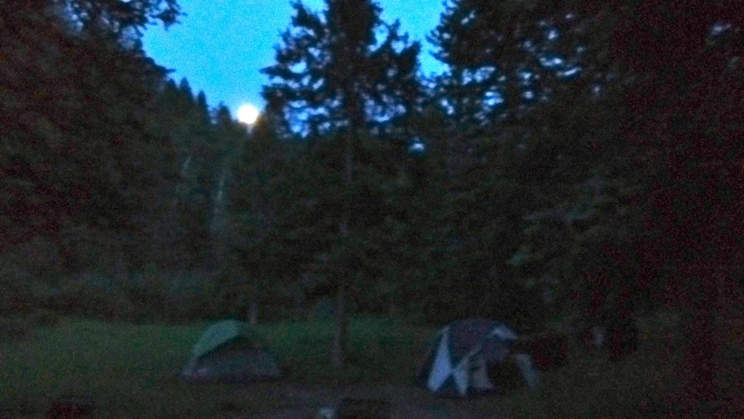
Campsite at Santa Barbara campground.An extra treat was watching the moonrise–one day short of full moon.
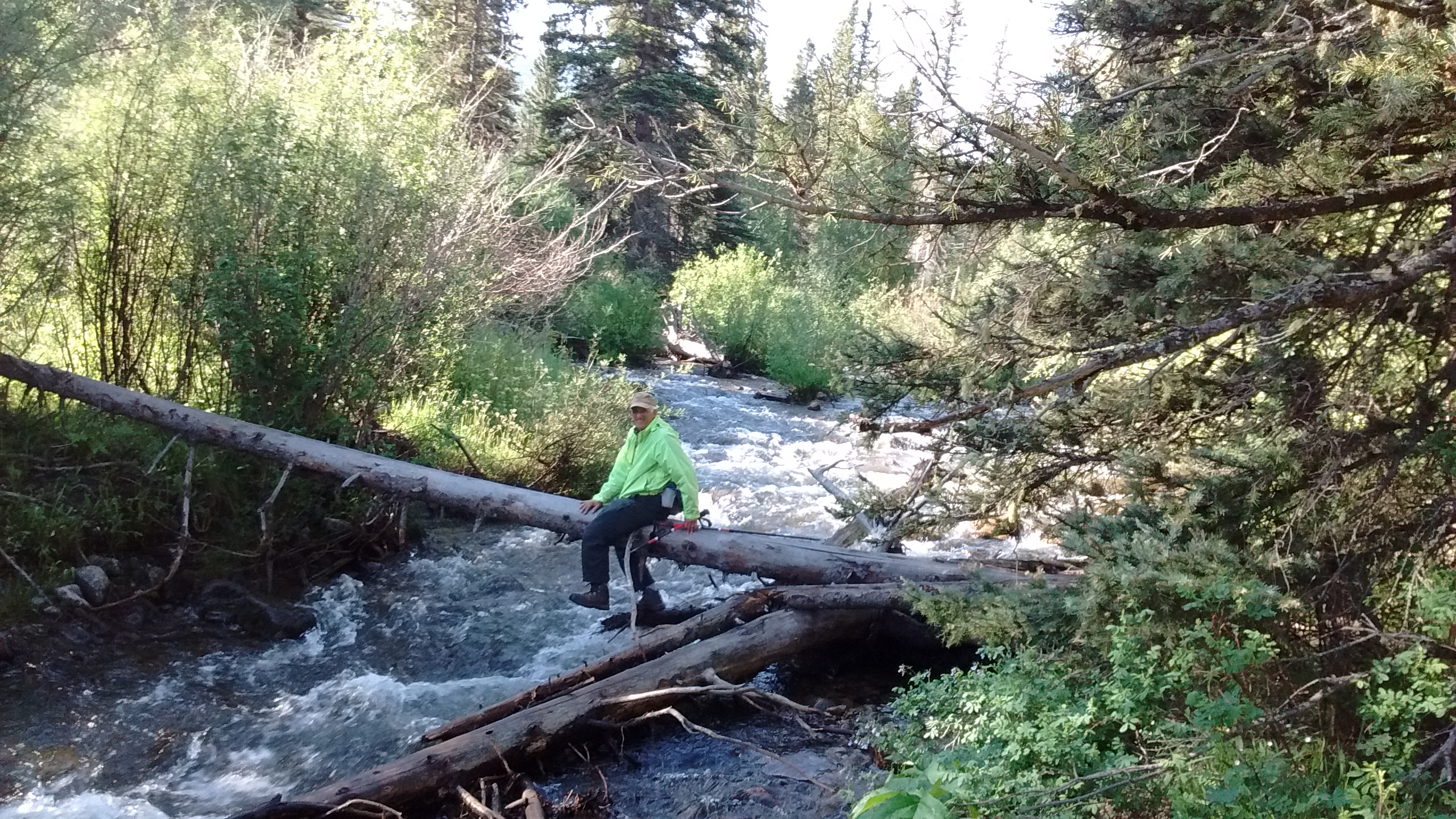
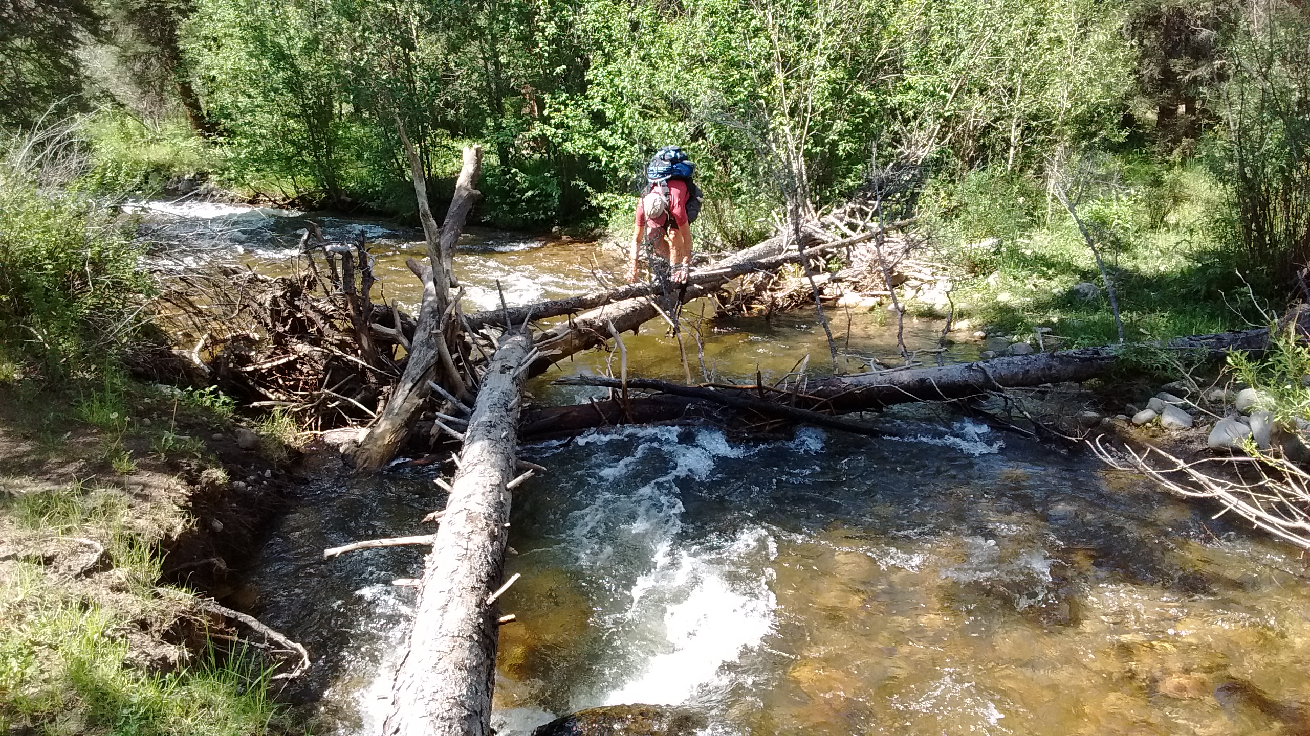
Hiking in wilderness areas can be a challenge because it’s often difficult to find accurate and helpful information about the trails. That’s the experience that we had the first day. Our first challenge presented itself as soon as we walked to the trailhead from our campsite and realized that we were on the west side of the Rio Santa Barbara and the trail started on the east side with no bridge across the river. Most of the time this wouldn’t be an issue for hikers because the stream would be small enough to cross on logs or rocks. This happened to be one of those times when the stream was very full and it was not obvious where to cross. It took us about 30 minutes of going up and down along the banks of the stream before we found a way across.
This was not the way across. Lee ended up having to back his way out again.This was the doable crossing we finally found.
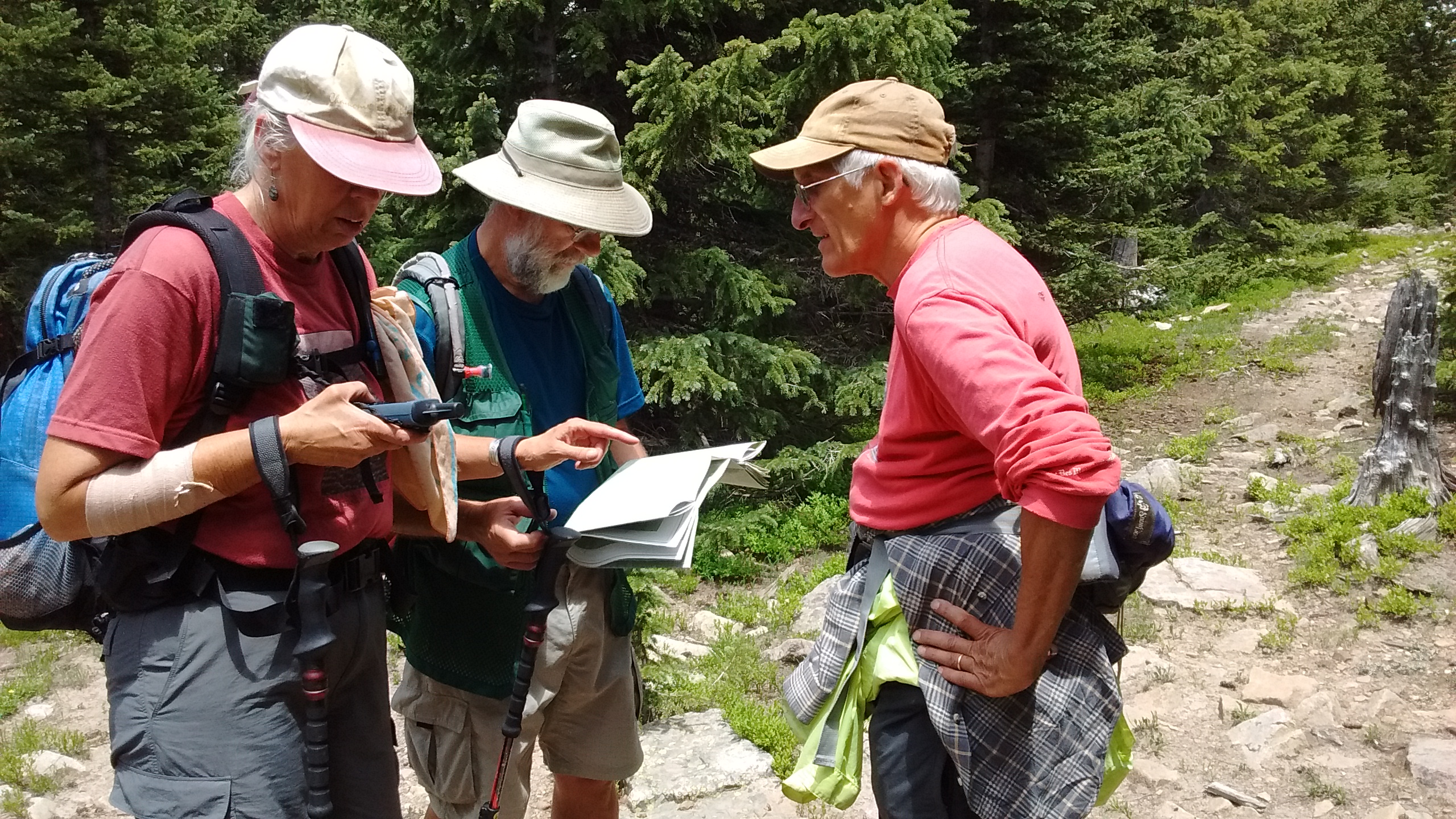
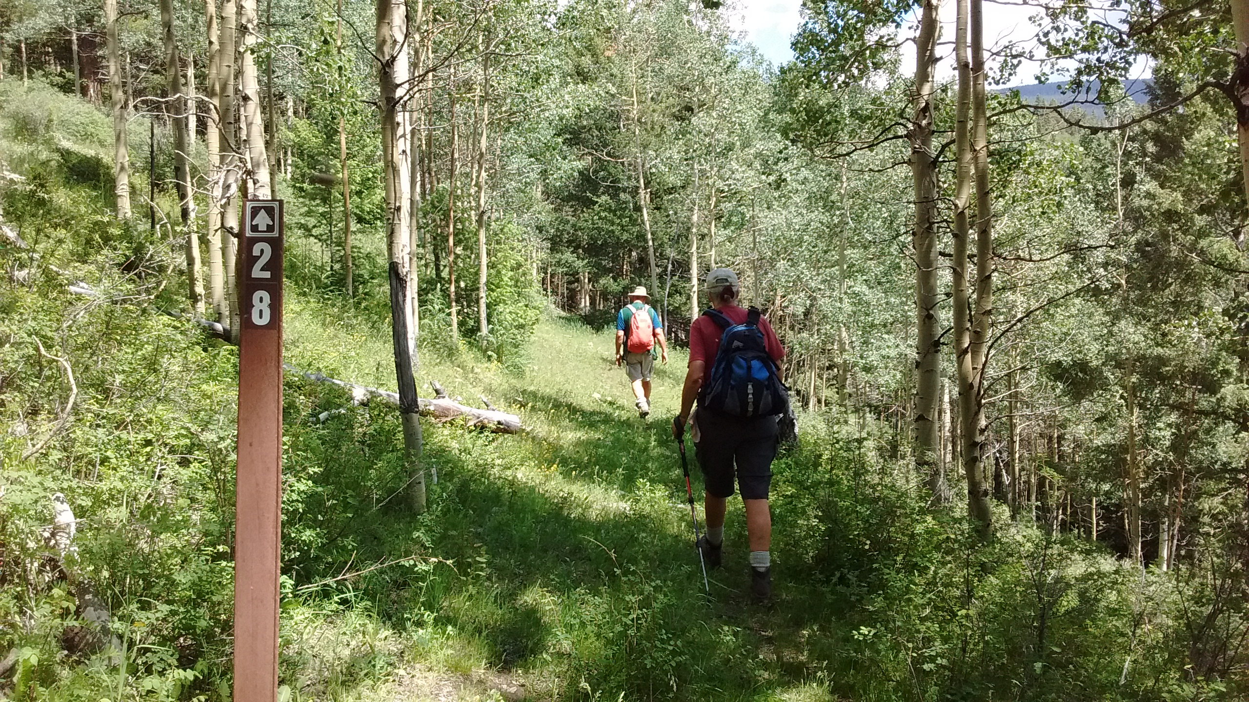
The second major challenge of Tuesday’s hike was trying to reconcile trail signs with names and numbers and maps we had of the area. Our goal was a ridge called Ripley Point, about 5 miles east of the campground at an elevation of 11,800 feet. The campground was at 8,800 feet, which meant 3000 feet of elevation to climb in the 5 miles. After about 2 miles of hiking, we started up what looked like a connector trail on the maps and GPS but turned out to be a brutal bushwhack straight up for at least a mile through thick woods before we finally connected with a real trail.
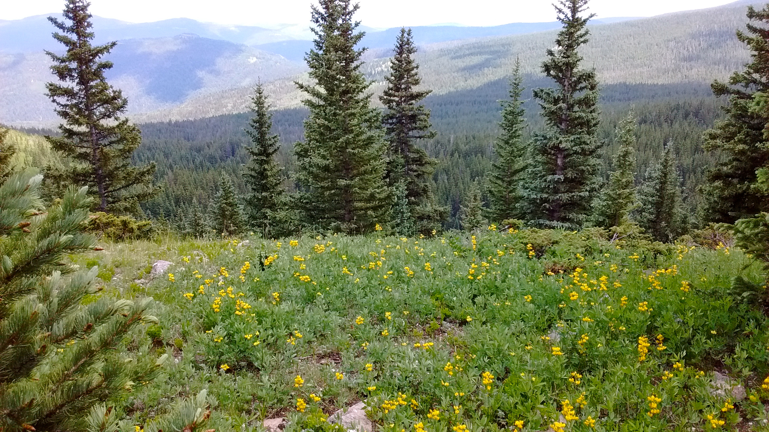
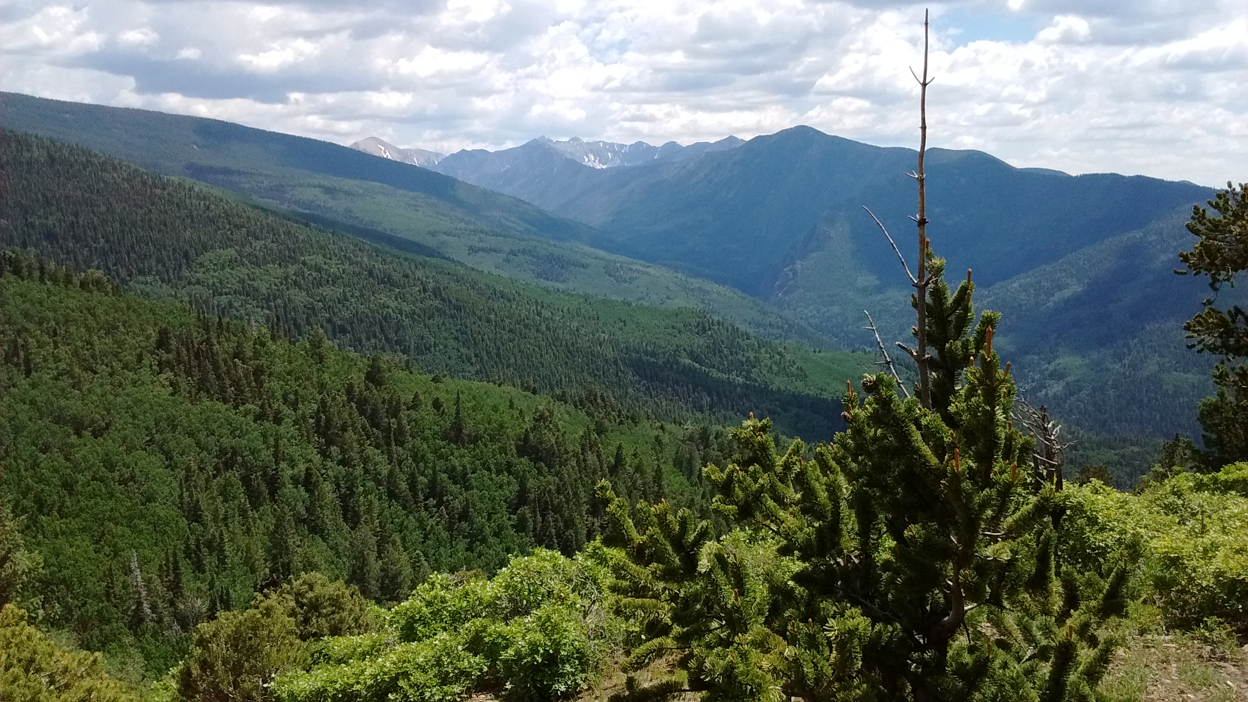
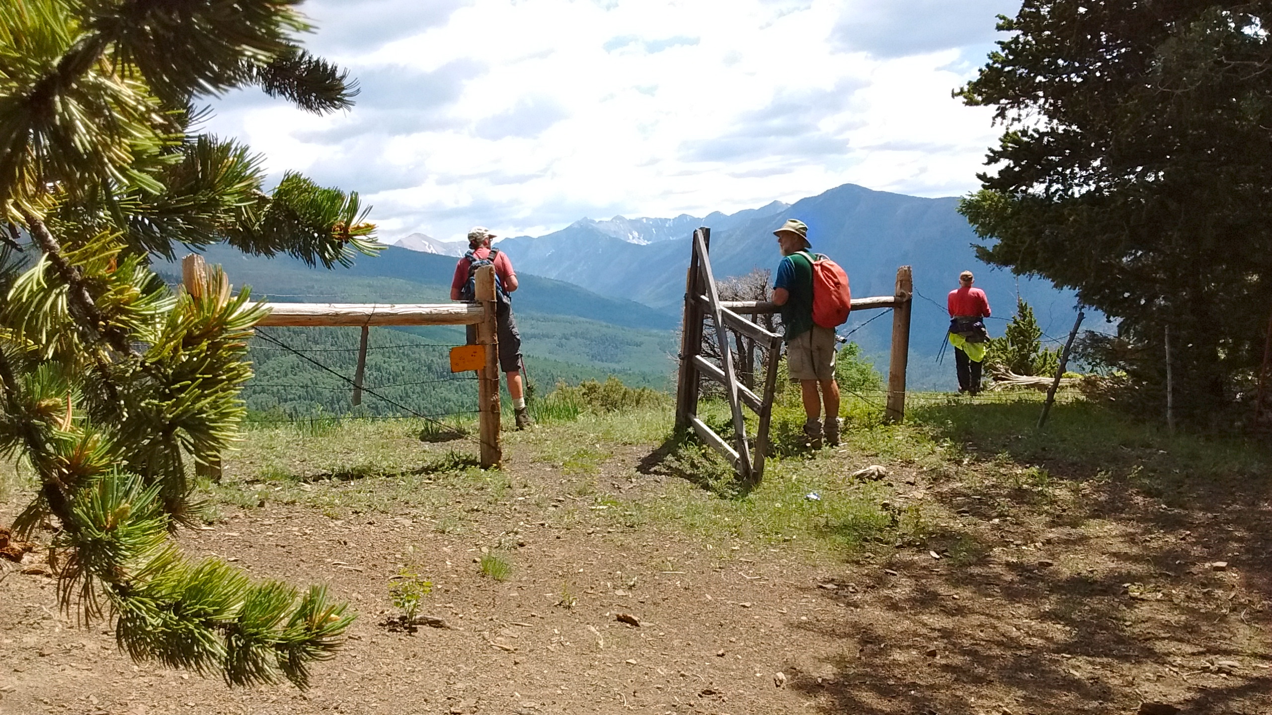
A lot of consultation of maps and GPS.Trail numbers were confusing but it was a welcome sight to see one when so many times we weren’t sure we were on a trail.Rock cairns were also a welcome sight to let us know we were in the right place.Beautiful views and lots of wildflowers.Well deserved lunch break on ridge.Pecos Wilderness views.Through the gate and down into the valley back to the campsite.
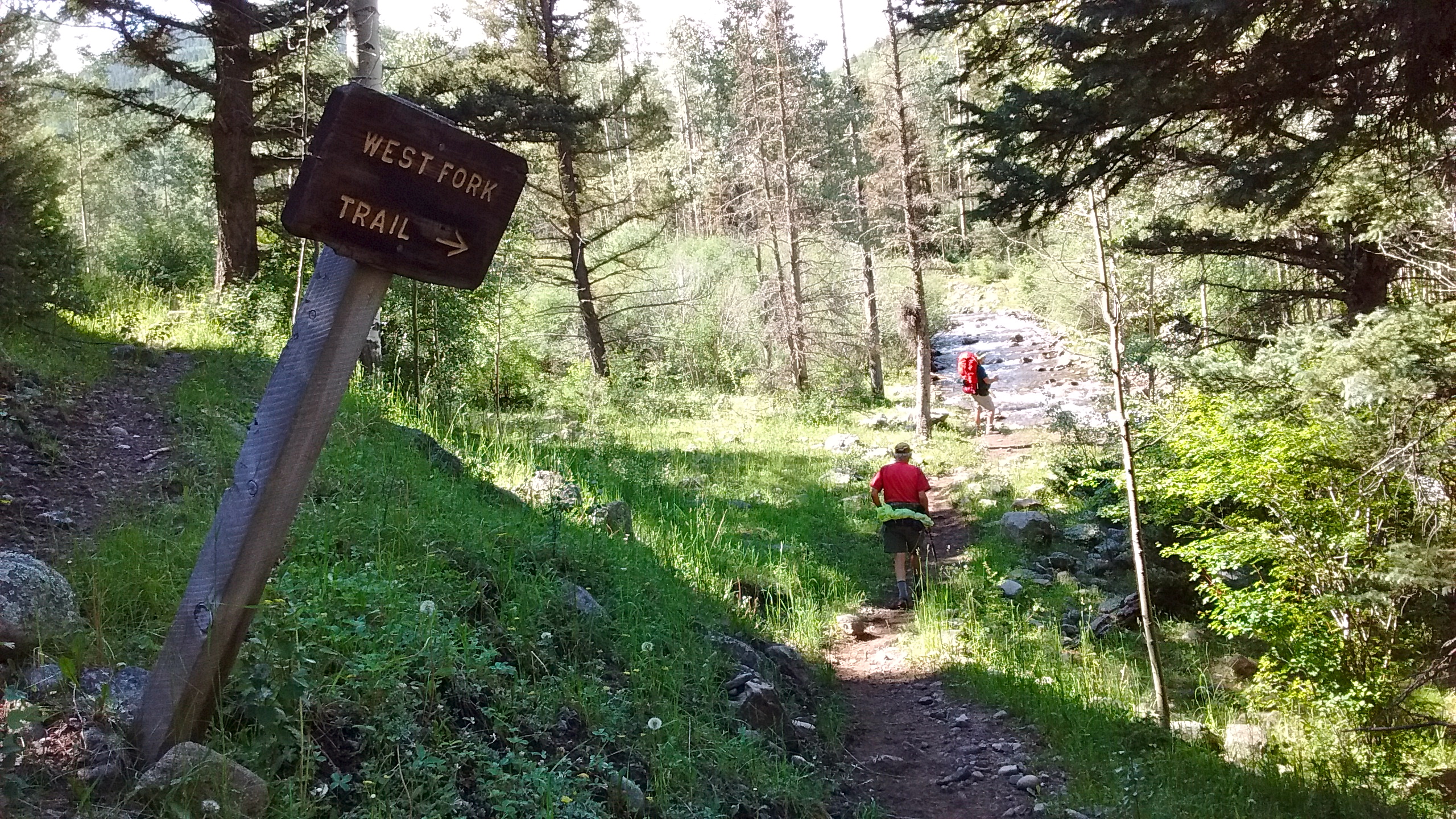
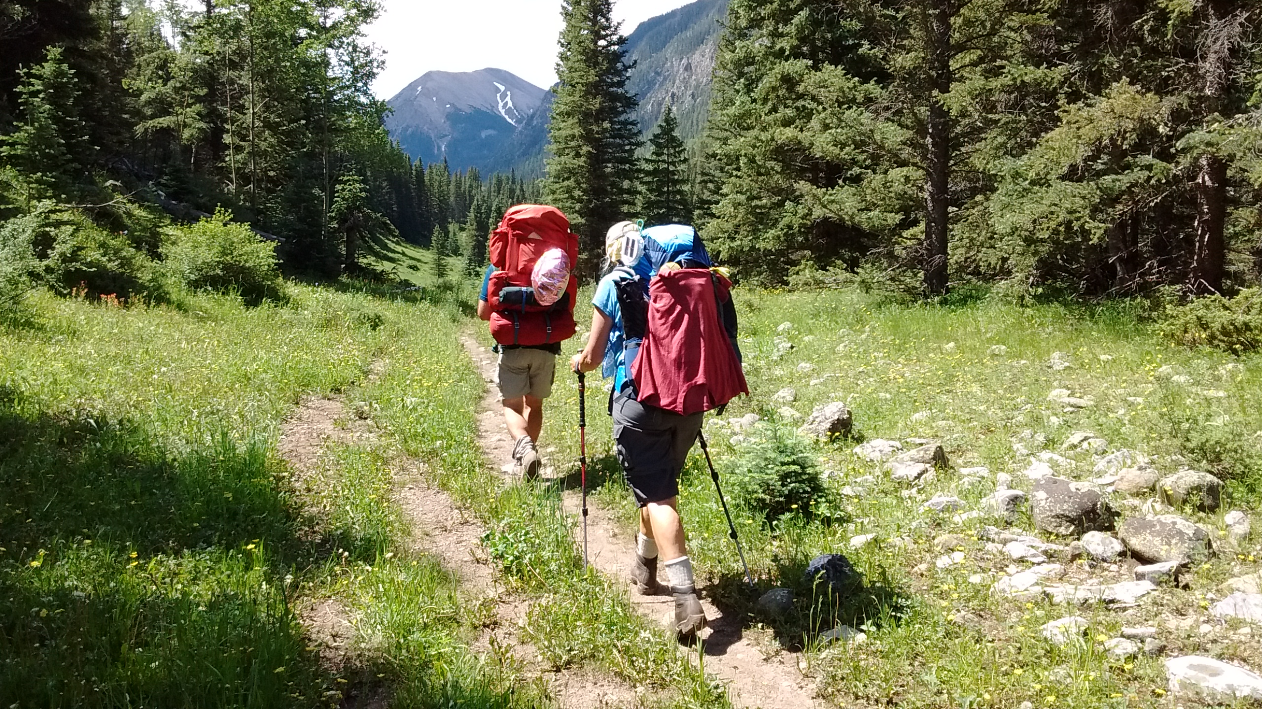
The second day’s hike was an out-and-back following a trail along the West Fork of the Rio Santa Barbara. At least for me and Lee it was an out-and-back hike. For Ken and Sue it was the beginning of their 3-day backpacking trip into the Pecos Wilderness. We hiked together for the first 5 miles, enjoying the views of the canyon walls, the rushing stream, the many wildflowers, the shady woods and the green meadows and valleys. Then Lee and I bid adieu to our camping companions and headed back to camp while they continued up the trail.
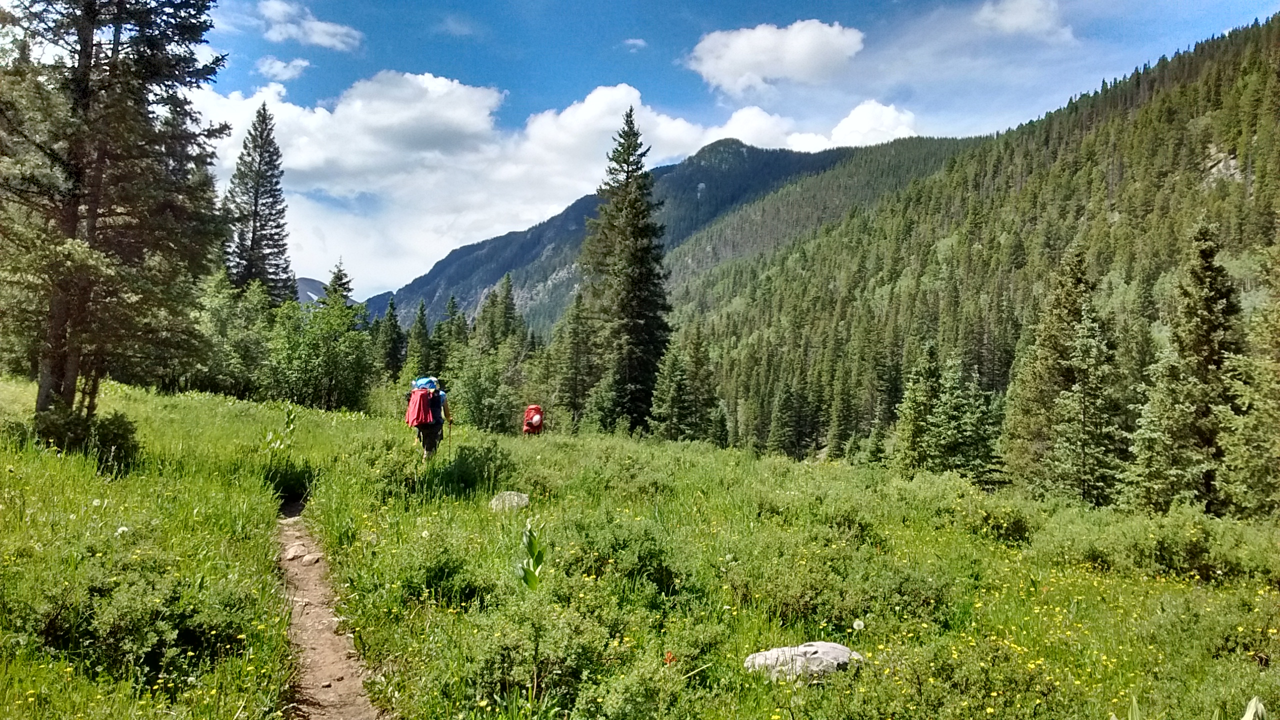
Canyon walls along first section of West Fork trail.Walking through stand of aspen.A couple of stream crossings but easier than the one yesterday.Walking through meadows on West Fork trail.West Fork of the Rio Santa Barbara.Ken and Sue continue up the trail for their backpacking trip.
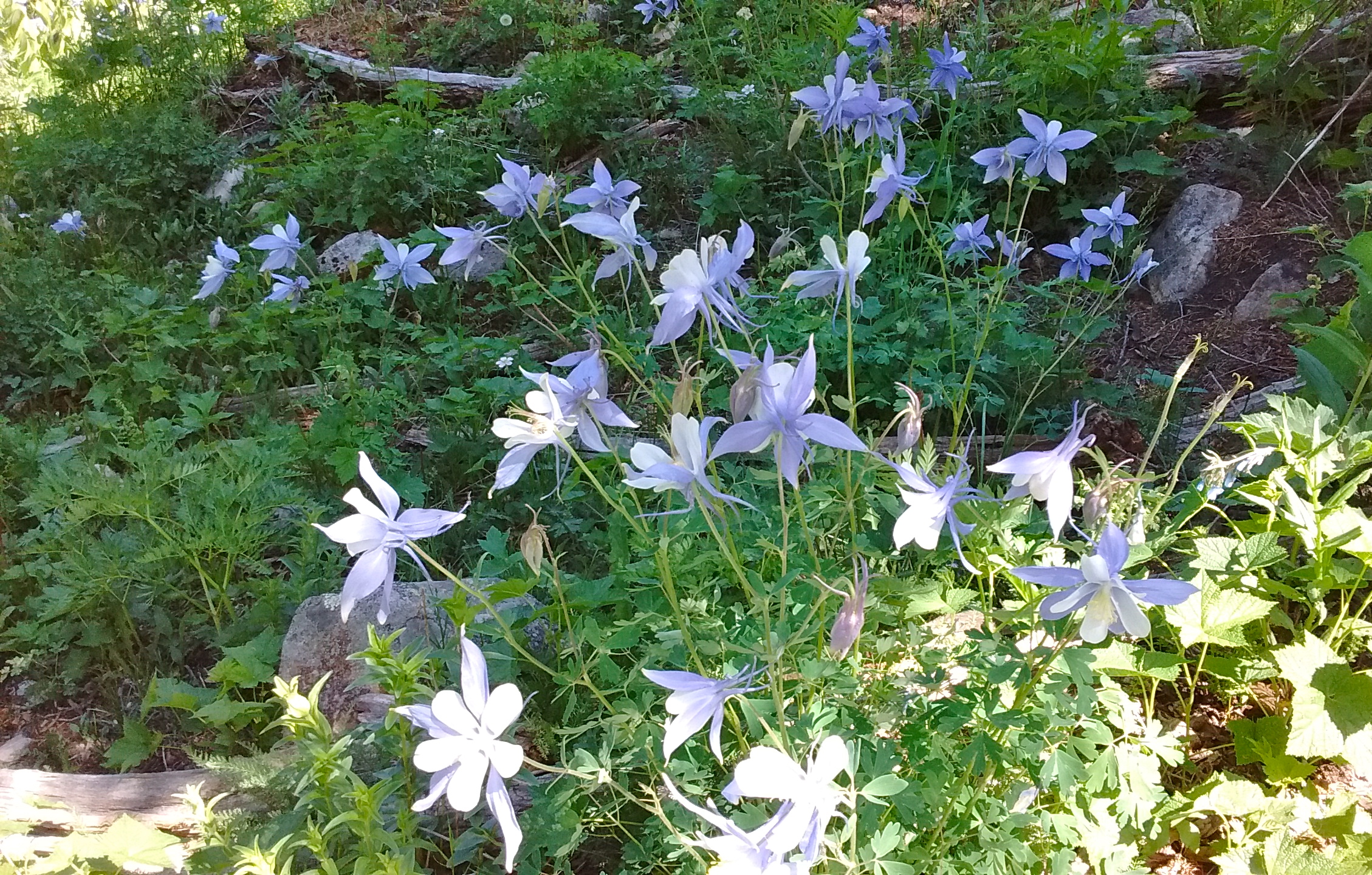
Both days of hiking provided us with opportunities for viewing and photographing wildflowers, some of which were old favorites, others that we have yet to identify. Columbines are some of my favorite wildflowers. The Red Columbine is what I’m familiar with, but in the Pecos I got my first chance to see the Blue or Colorado Columbine. They were everywhere on the West Fork trail and I took countless photos because they were so beautiful. Of course, with only a phone camera I just couldn’t seem to get a photo that really captured the beauty. And that went for the scenery, as well. I suppose, in the future, another way to enhance the hiking experience might be to get more serious about photography. For now, I’ll use the photos I do have to enhance my memory of this wonderful experience until the next time I’m able to be out there enjoying God’s creation in person.
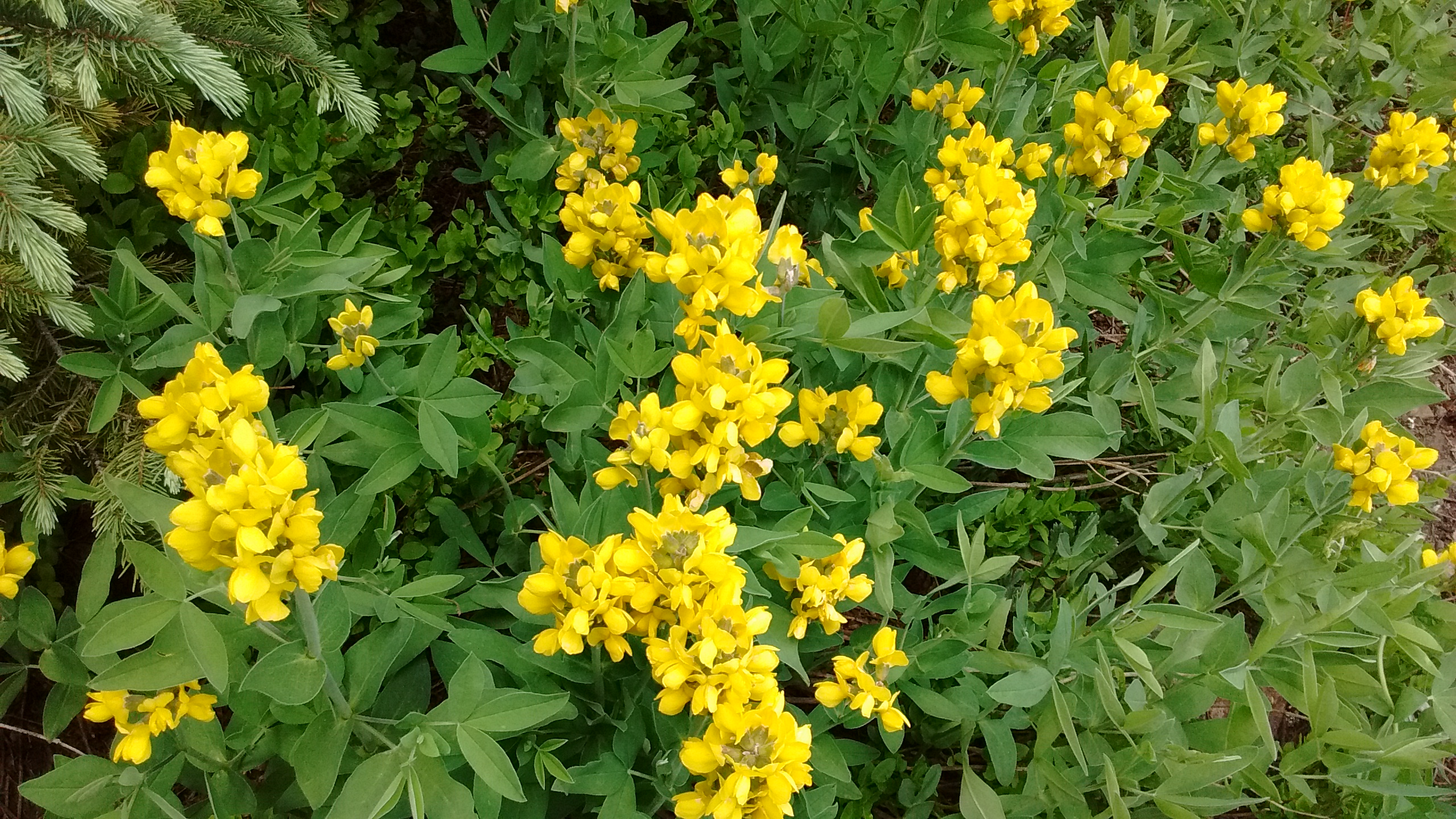
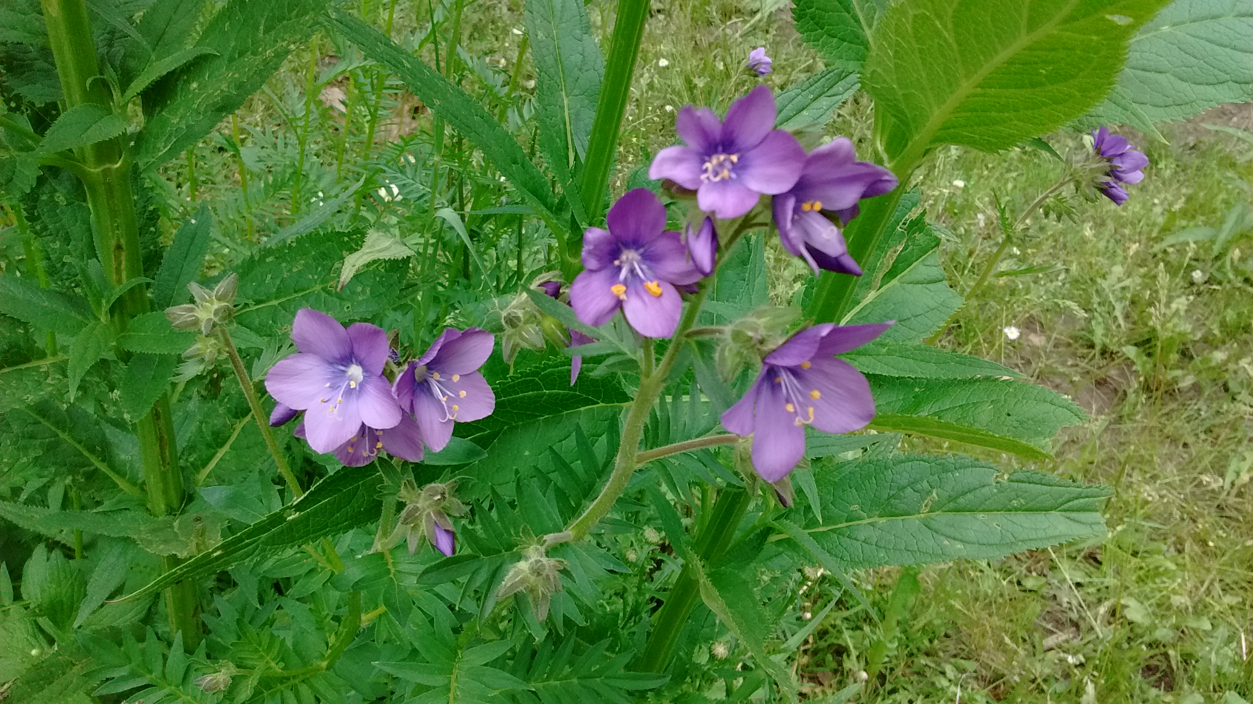
Lee and Sue hard at work trying to get that perfect flower photo.Blue (Colorado) Columbines.Closer view of columbines.One of the yellow flowers I can identify–Golden Pea.Jacob’s Ladder (we think).