We spent the last couple of days in Las Cruces, New Mexico, hiking in the Organ Mountains. About 250 miles south of Albuquerque, this desert region is Chihuahuan Desert, as opposed to the high desert regions of northern New Mexico. To some people, desert is desert, but, to me, it’s interesting to compare the two. Somehow it seems more open, quiet and peaceful down there. That might have something to do with the difference in weather, which is usually about 10 degrees warmer than Albuquerque. Lately our weather in Albuquerque has been unseasonably warm, close to 70, so in Las Cruces it was getting close to 80.
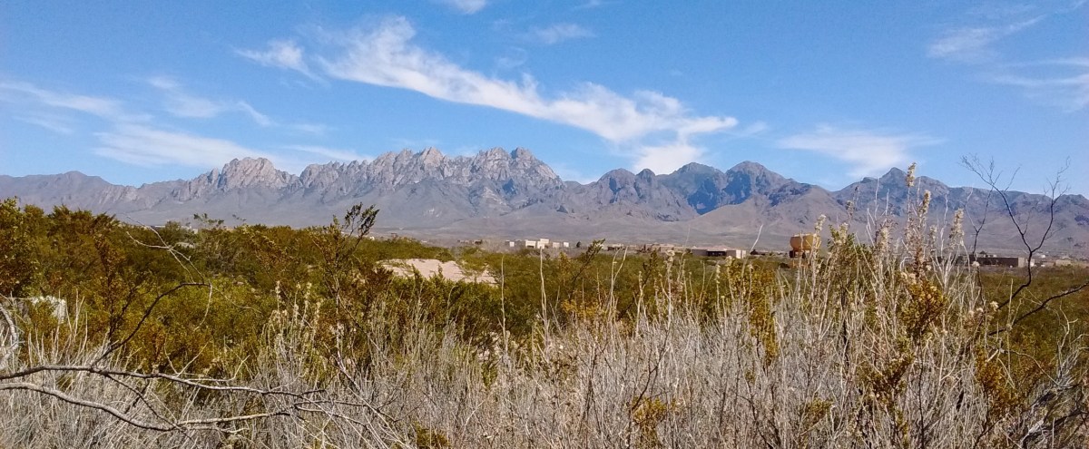
Similar to Albuquerque, where we have the Sandia Mountain range to the east of the city, Las Cruces has the Organ Mountains on the eastern side of the city. This trip wasn’t the first time we’d hiked there, but with more time to spend on this trip we were able to check out more trails.
When we got there Monday afternoon, we had enough time to go to the Visitor Center at Dripping Springs Natural Area, hike a couple of miles to see the ruins of the Dripping Springs Resort, and then hike 3 miles on a loop around the La Cueva rock formation.
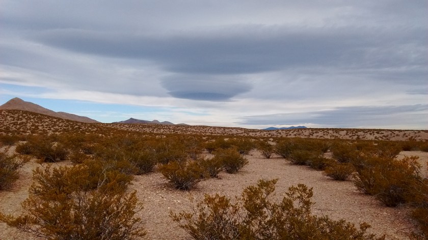
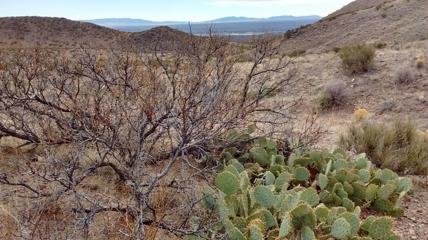
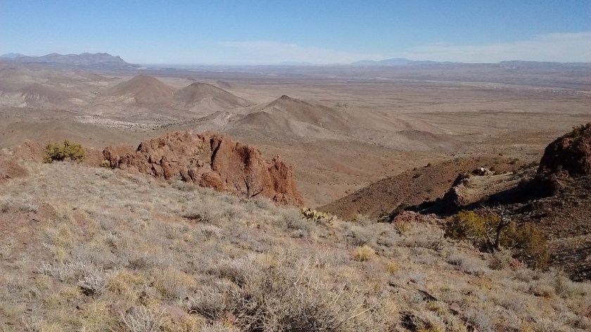
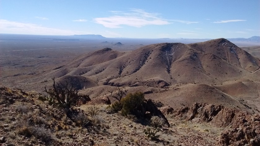
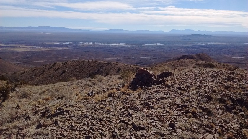
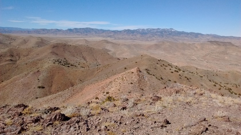
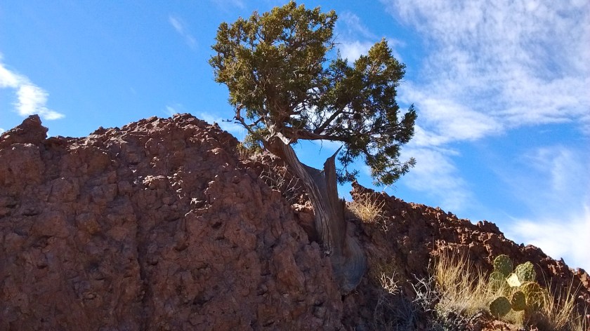
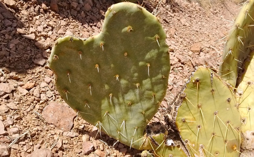
Tuesday we drove over to the eastern side of the Organ Mountains and did two hikes at Aguirre Springs Campground. From this side of the Organ Mountains you are looking eastward at White Sands Missile Range property across the Tularosa Basin so it is miles and miles of uninhabited desert lands in view, including in the distance the White Sands National Monument and the mountains to the east of Alamogordo. That felt a bit like home to me, after living so many years in Alamogordo. I also was astounded to see that the poppies are already in bloom. I think that’s about a month earlier than they usually bloom.
Photos of Aguirre Springs
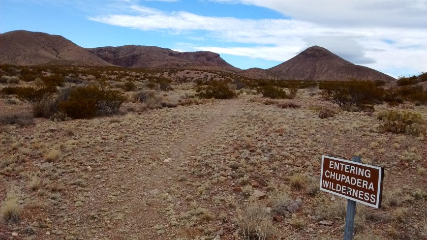
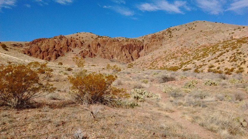
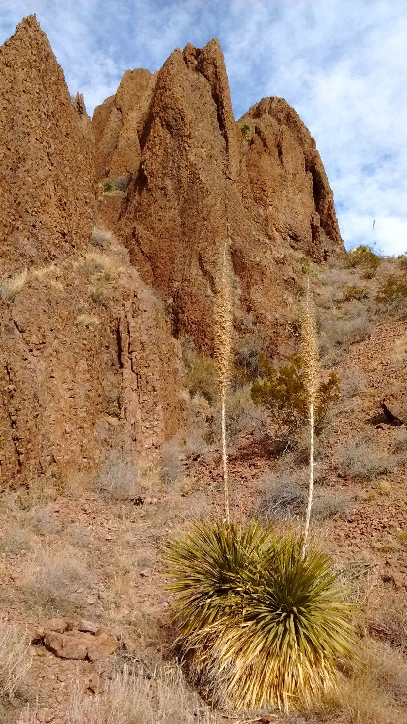
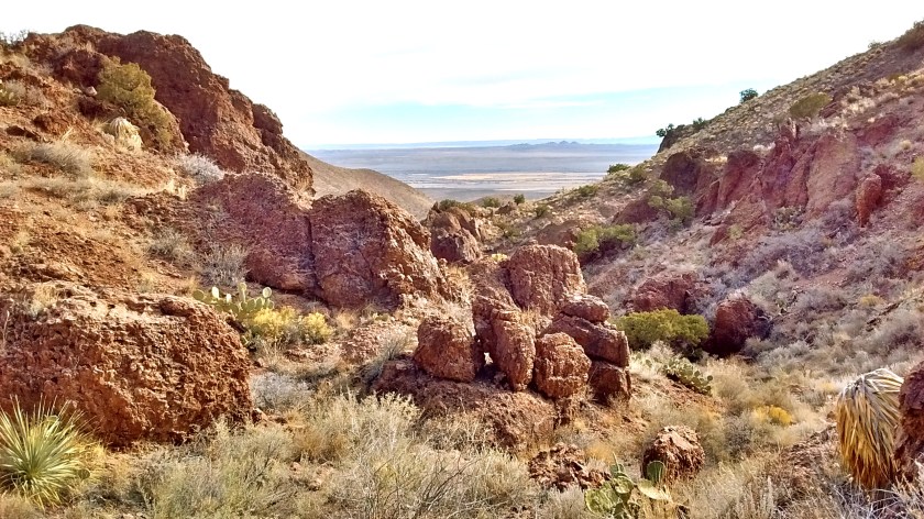
This morning before we headed back to Albuquerque we were again on the western side of the Organs, doing a 3.5-mile hike up into Achenback Canyon.
Photos of Achenback Canyon
And, as an extra treat on the drive home, we stopped at the Buckhorn Tavern in San Antonio, NM, to sample their famous green chili cheeseburgers. Wow, was it ever delicious. Green chili cheeseburgers are not something I’m in the habit of eating but after tasting that one, it may become a habit!