
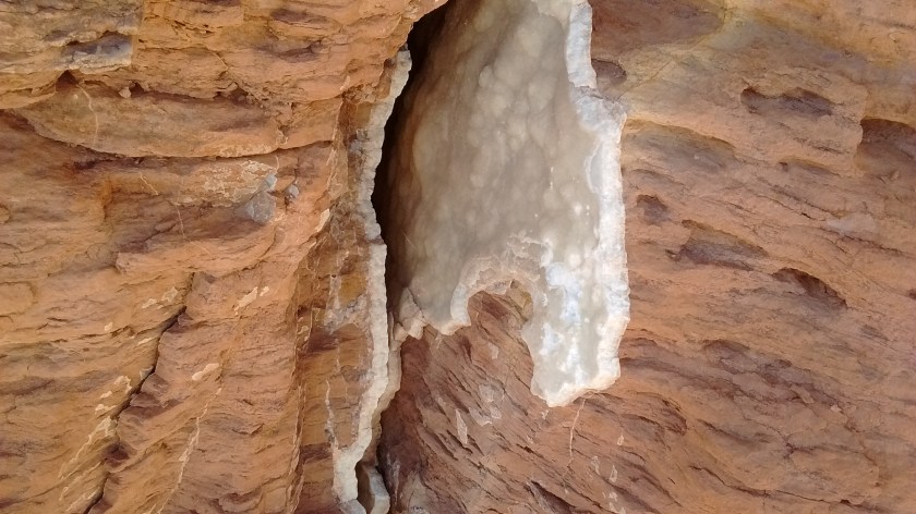
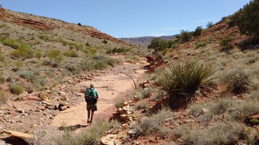
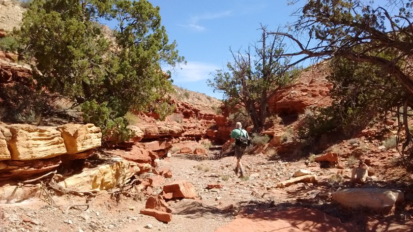
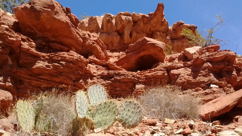
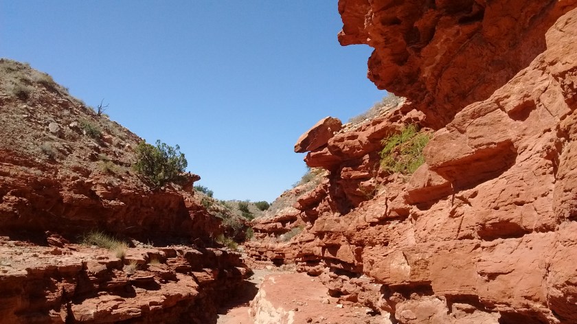
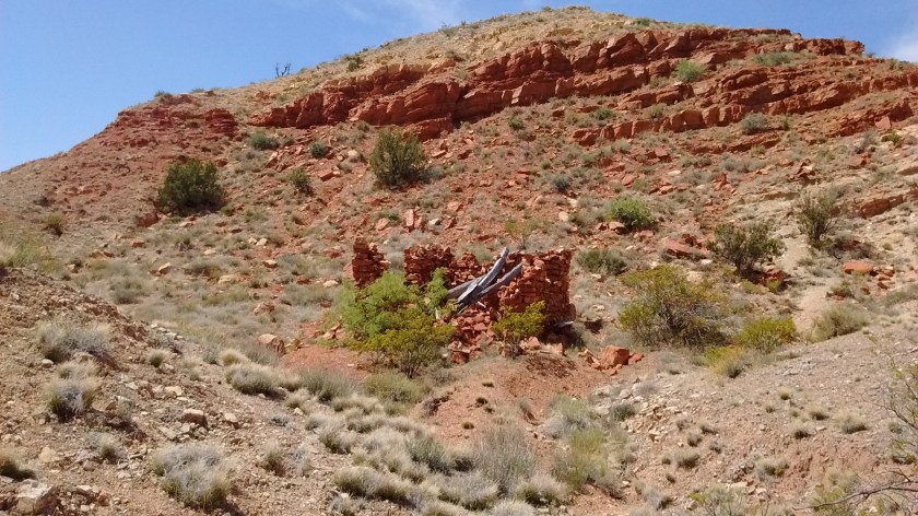
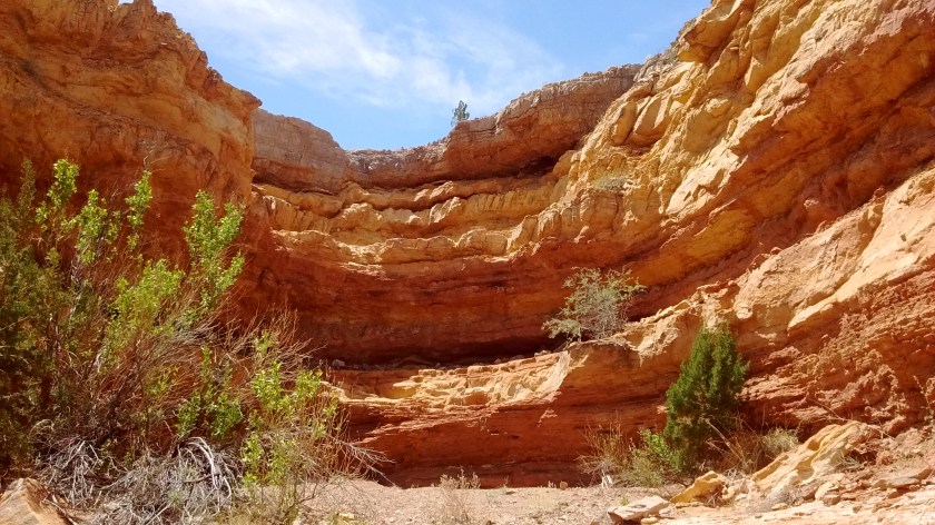
Looking over the landscape of the area east of Socorro, you wouldn’t think of it as a very interesting place to hike. A 25-mile dirt road known as the Quebradas Backcountry Byway cuts through a vast emptiness of arroyos, ridges and open rangeland. But if you park at one of the stops along the Byway for a closer look you find many opportunities worthy of further exploration. Today we chose a hike up one of the named arroyos, Arroyo del Tajo, and were rewarded with spring wildflowers, as well as interesting geology.

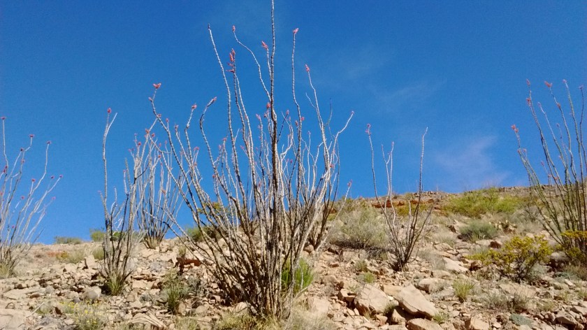

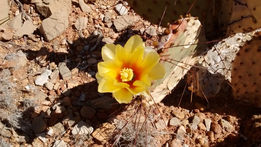
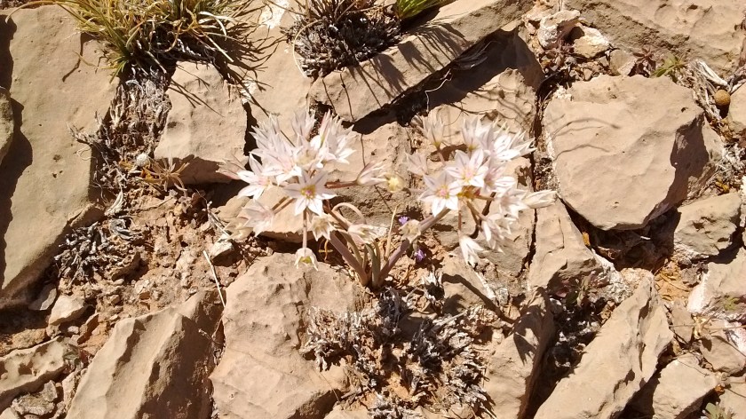
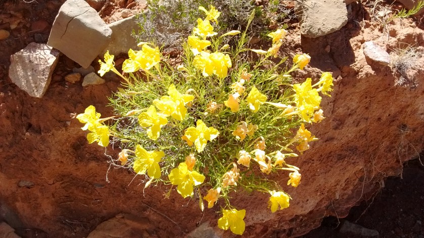
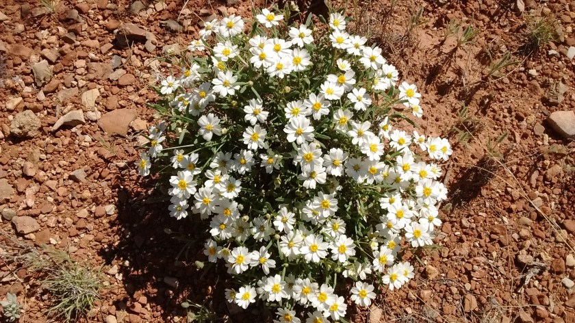


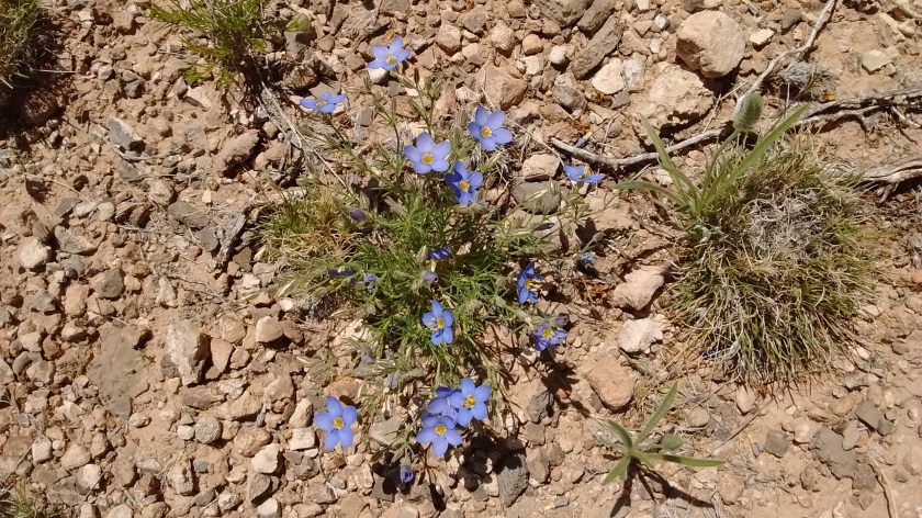
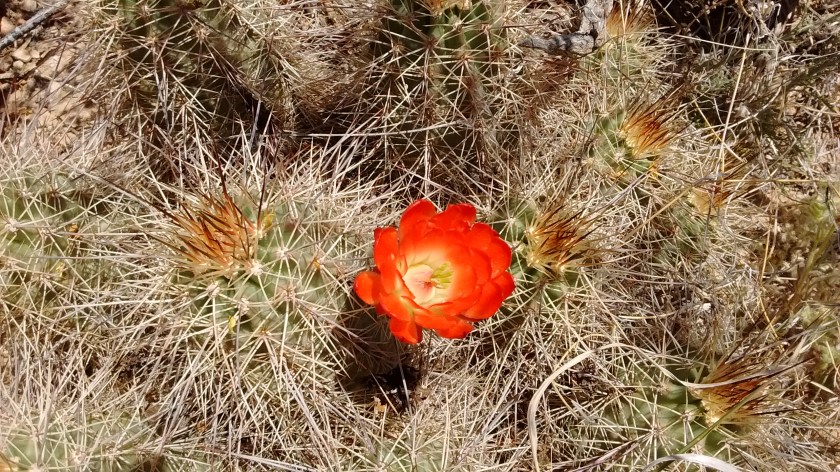
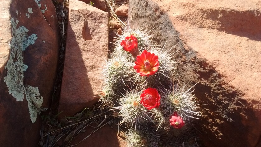
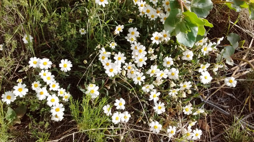
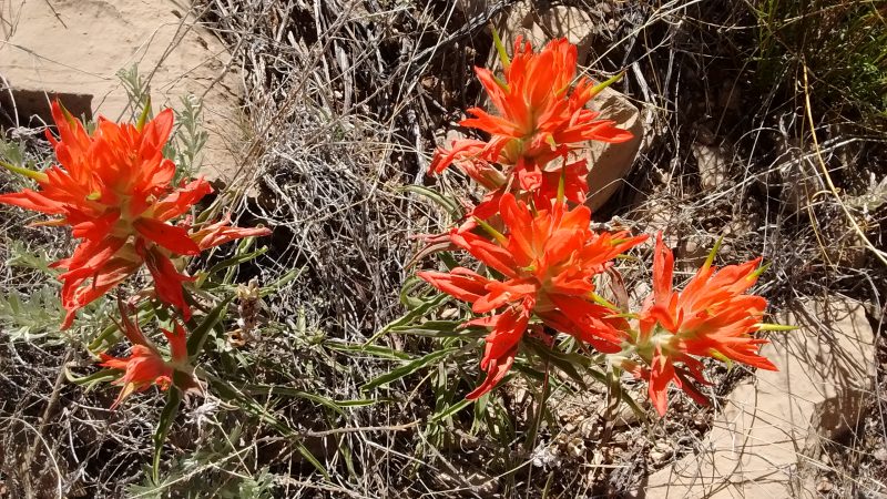
I had hoped that we would see more of the claret cup cactus blooms, as they really are my favorite. But I think this spring has been too dry. Most of the cactii I saw had blossoms that looked like they had dried up before they had a chance to bloom. But it never ceases to amaze me that as dry as the desert is, it can still produce such a variety of wildflowers. I only posted photos of a small portion of the different kinds that we saw today. And with even a little bit of rain between now and when we go on our next hike there will be all kinds of new blooms. If you just get out of your car for a closer look at what might seem a barren landscape you realize the desert is actually full of life.