We were big-time winners on our weekend trip to Las Vegas. We hit the jackpot at the Taco Bell Cantina on the Strip where we participated in the fun-filled wedding ceremony for our granddaughter and her fiancee. The happy couple will have many good memories of their special day to share with children and grandchildren.

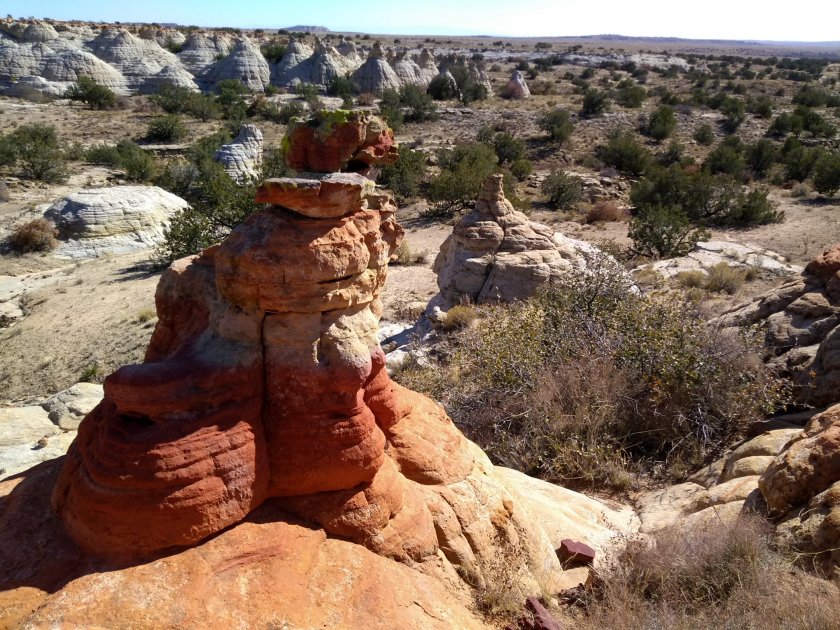
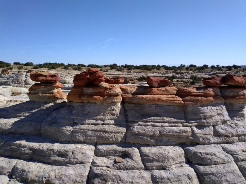
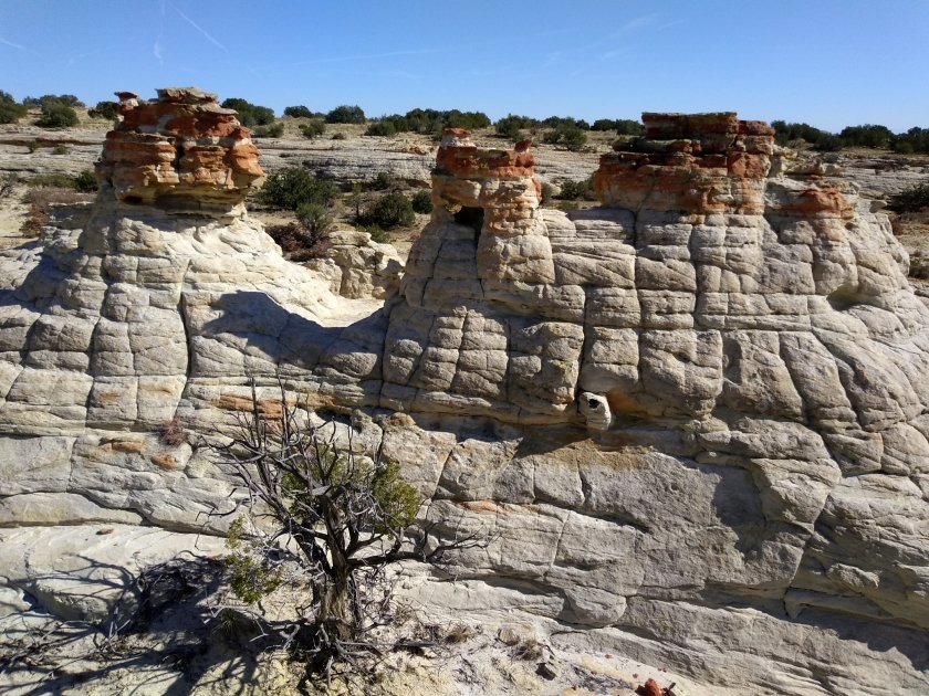
Before and after the wedding there was lots of time to take advantage of all that Las Vegas has to offer. We gambled on the weather, looked at descriptions of hikes in the area and made a couple of bets on two National Conservation Areas: Red Rock Canyon on the west edge of the Las Vegas Valley and Sloan Canyon on the south edge.
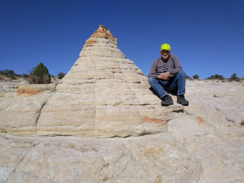
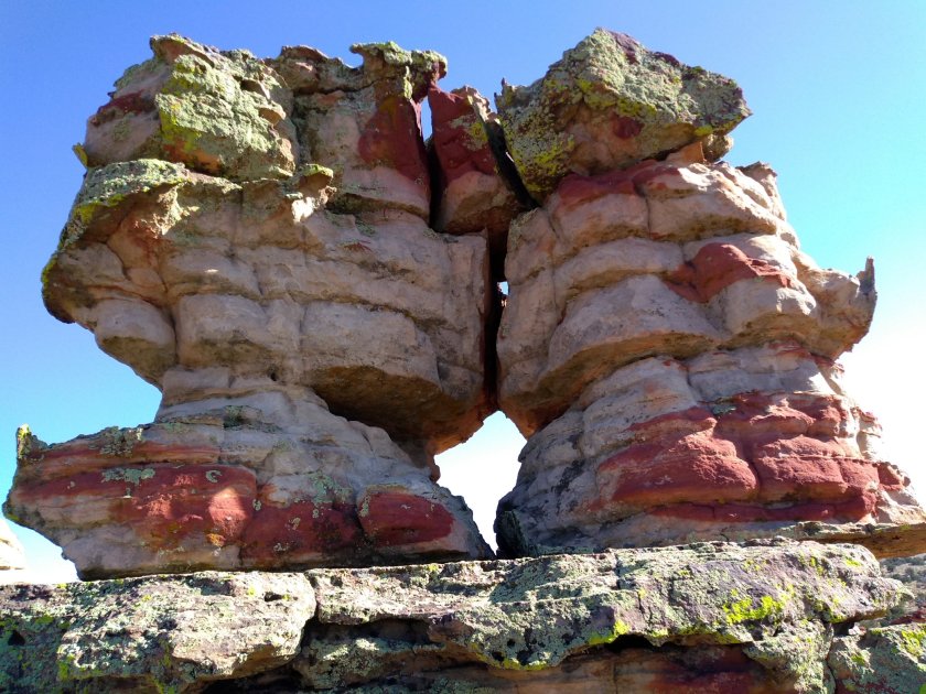
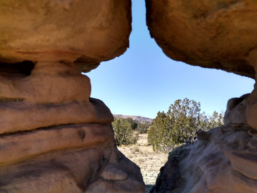
We had been to Red Rock Canyon on other visits and looked forward to revisiting the scenic red rocks. We wanted to do one of the hikes that we hadn’t done before and I threw my money on the square for Turtlehead Peak. Two and a half miles up to the summit and then back down sounded doable in the time that we had. We needed to get back to town with enough time to get dressed and ready for the wedding.

After the first mile or so of hiking the odds of making our goal were not looking good. The trail started to get very steep and rough, wandering through the rocky side of the gulch with no markers in sight and multiple paths winding through the rocks. We weren’t sure we were on the right trail and we weren’t sure how much further it was to the top. At a couple of points we almost threw in our chips and turned around. But we finally hit the mark and saw red dots on the rocks, our sign that we were back on the right trail. We pushed through the next steep mile uphill and were rewarded with lunch and the awesome views at the summit. On the way down we were confident that we could stay on the right trail but once again found ourselves navigating the off-trail slippery slopes, this time with knees aching on the downhill instead of lungs panting on the uphill. It was a tough game but we won the bet and got back to town with time to spare.


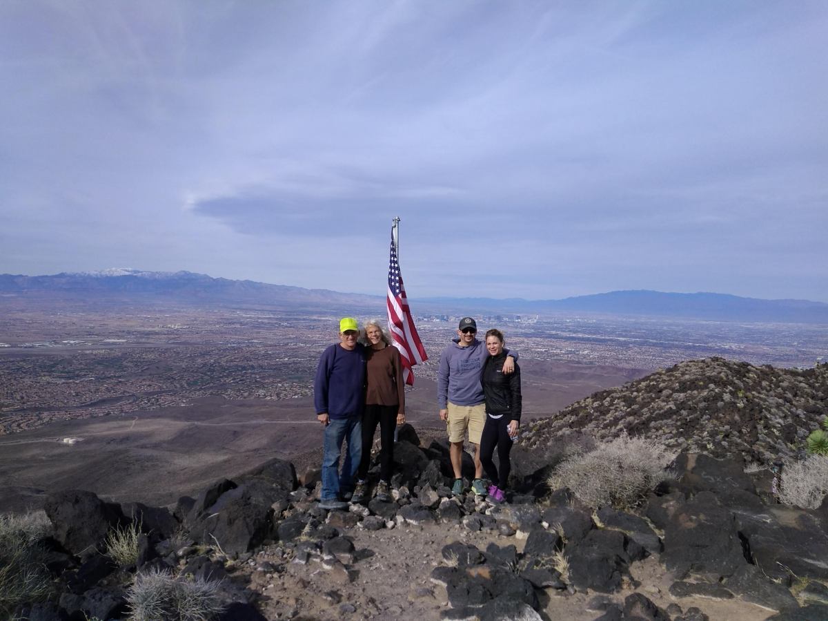
The day after the wedding we appointed Lee as the dealer. He dealt us a much better hand. The hike he turned up was three and a half miles up to the summit of Black Mountain and back down. That meant the total hiking miles were 7, instead of 5, like we did the day before. But measuring difficulty on that hike I would say that it won hands down for being a trail that was easy to follow and one where you knew you were going to make the summit. Turtlehead Peak summit is reached by going around the back side of the ridge and you lose sight of the goal for much of the hike. At Black Mountain there is a flag at the summit that is visible for most the hike, letting you see clearly how close you are getting.


Visible goals provide the motivation that I need for pushing through the tough spots. I could never motivate myself to waste money on a card game because I lack the necessary imagination for seeing an invisible goal of piles of money waiting on the next draw. Reaching the top of a mountain after a hard hike is the type of reward I aim for. And Las Vegas delivered in spades.