Last spring I discovered a free phone app that has the capability to not only create GPS tracks but to also pre-load a GPS track that can then be followed while hiking. This feature is helpful when we want to hike one of the many desolate areas of New Mexico that are public lands but don’t have any established hiking trails. A local hiking group maintains a website with information on hundreds of such hikes. Each hike has a description, driving directions and a downloadable GPS file. For today’s hike we chose one on BLM land north of Tohajiilee.
I printed the description and driving directions and loaded the GPS file on my phone. We were sure we’d get to explore this new area. What we didn’t count on was the rough roads we’d have to drive on. We have been on some of those roads before but never as far out on the unmaintained section that we had to traverse today. The road got worse and worse until finally, with only a couple of miles left to the parking spot, we reached a washout that we knew our car couldn’t get past. We might have parked there and walked in, but a few miles back we had passed through a gate warning us that this section of roadway was going through private land. We’d be trespassing if we pulled off the road to park and we couldn’t park in the middle of the road either. We were forced to turn around and go back the way we had come.
Fortunately, while deciding this morning where to hike, Lee had read a description in our 60 Hikes Within 60 Miles of Albuquerque book that wasn’t too far back towards Tohajiilee. He remembered enough about the description that we were able to figure out where it was. So no map or description or GPS track to follow, but with wide open spaces and interesting rock formations to head towards, we made it an enjoyable excursion, anyway. I’ve decided, too, that all those cows that wander the open rangelands can be useful. Lots of times when you encounter an arroyo that looks too deep to cross or come to a ledge with no apparent way down you will see a cowpath that you can follow to get around the obstacle.
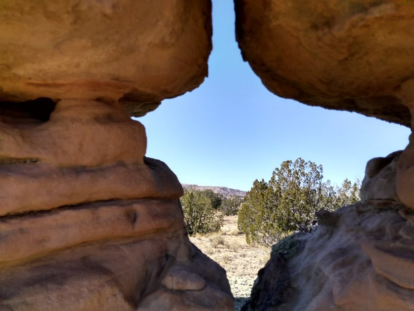
Our reward today for heading across the open range was an area of those wonderful rock formations we call hoodoos. Heavenly!
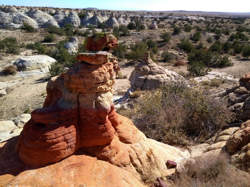

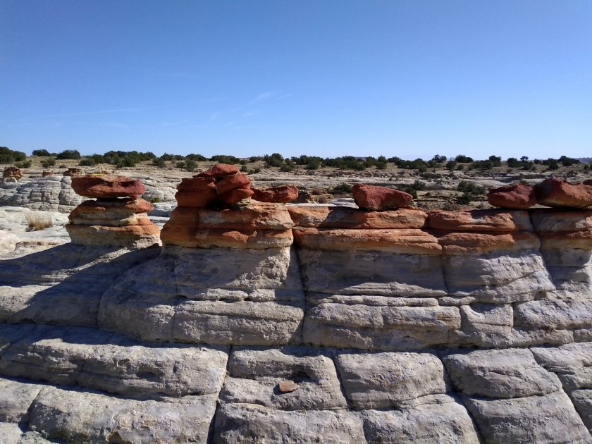
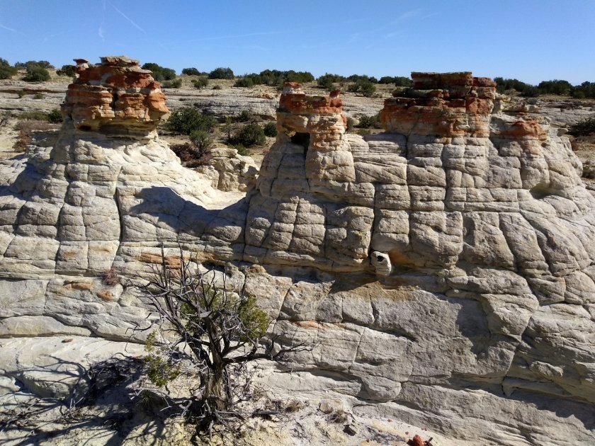
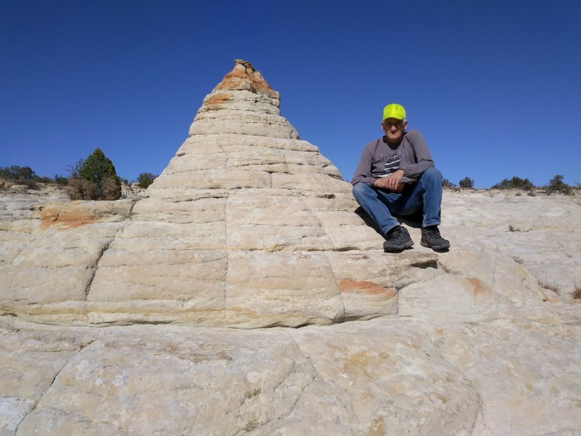


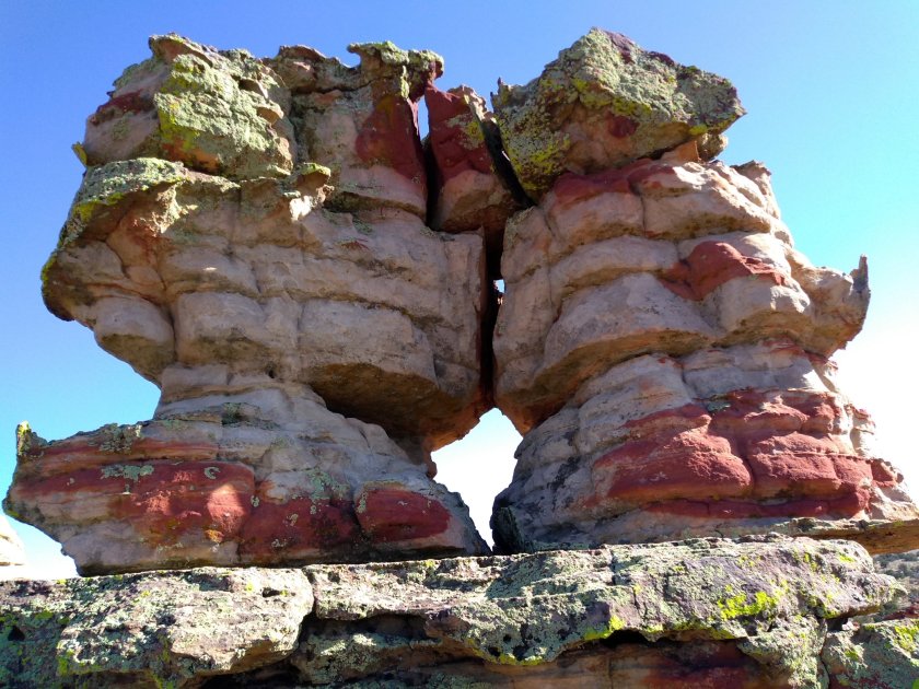

So many hoodoos!! I especially like the next to last photo with the red patches. What an amazing land to live in and explore. I’m still missing NM and am still equally jealous.