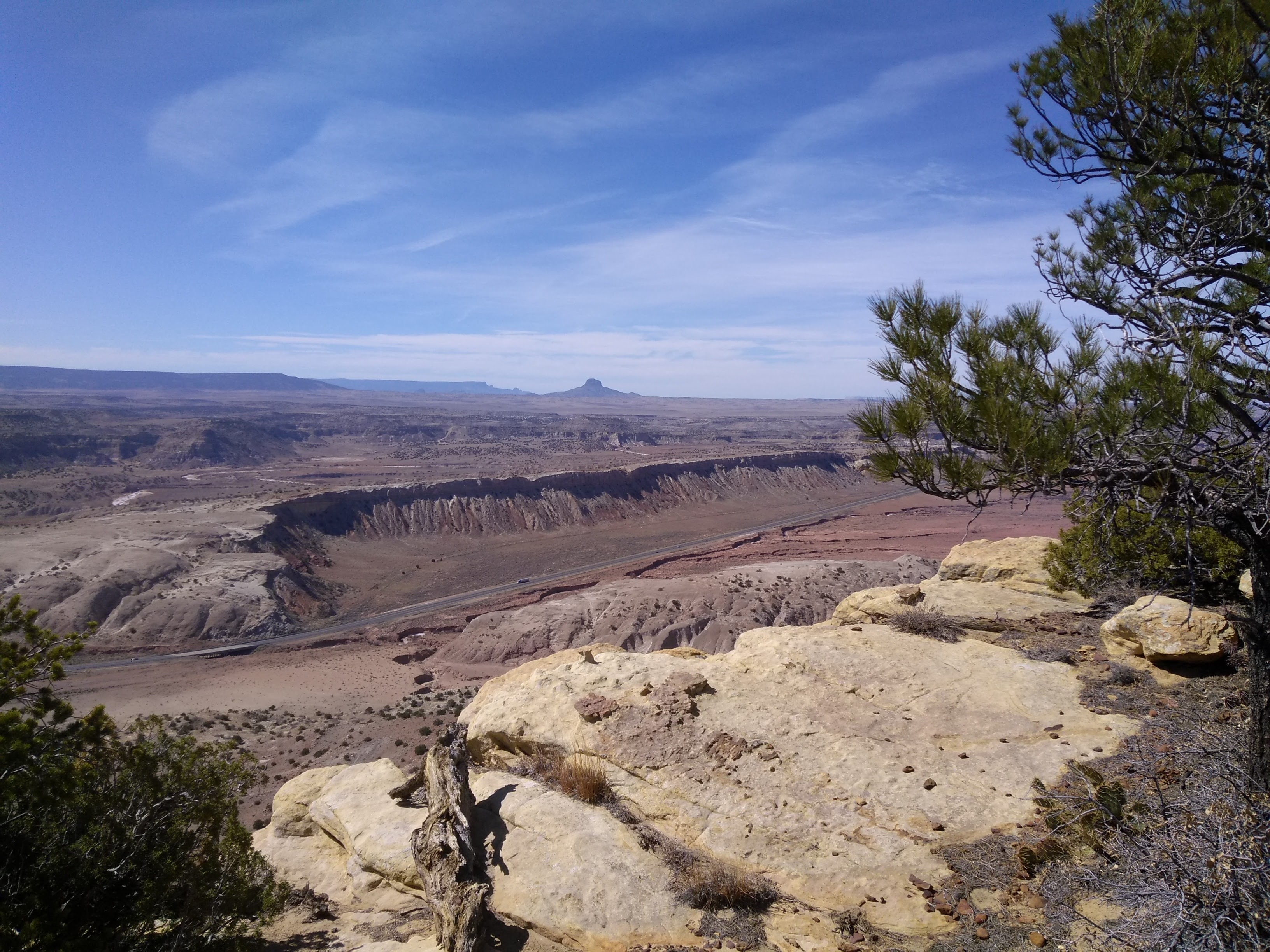
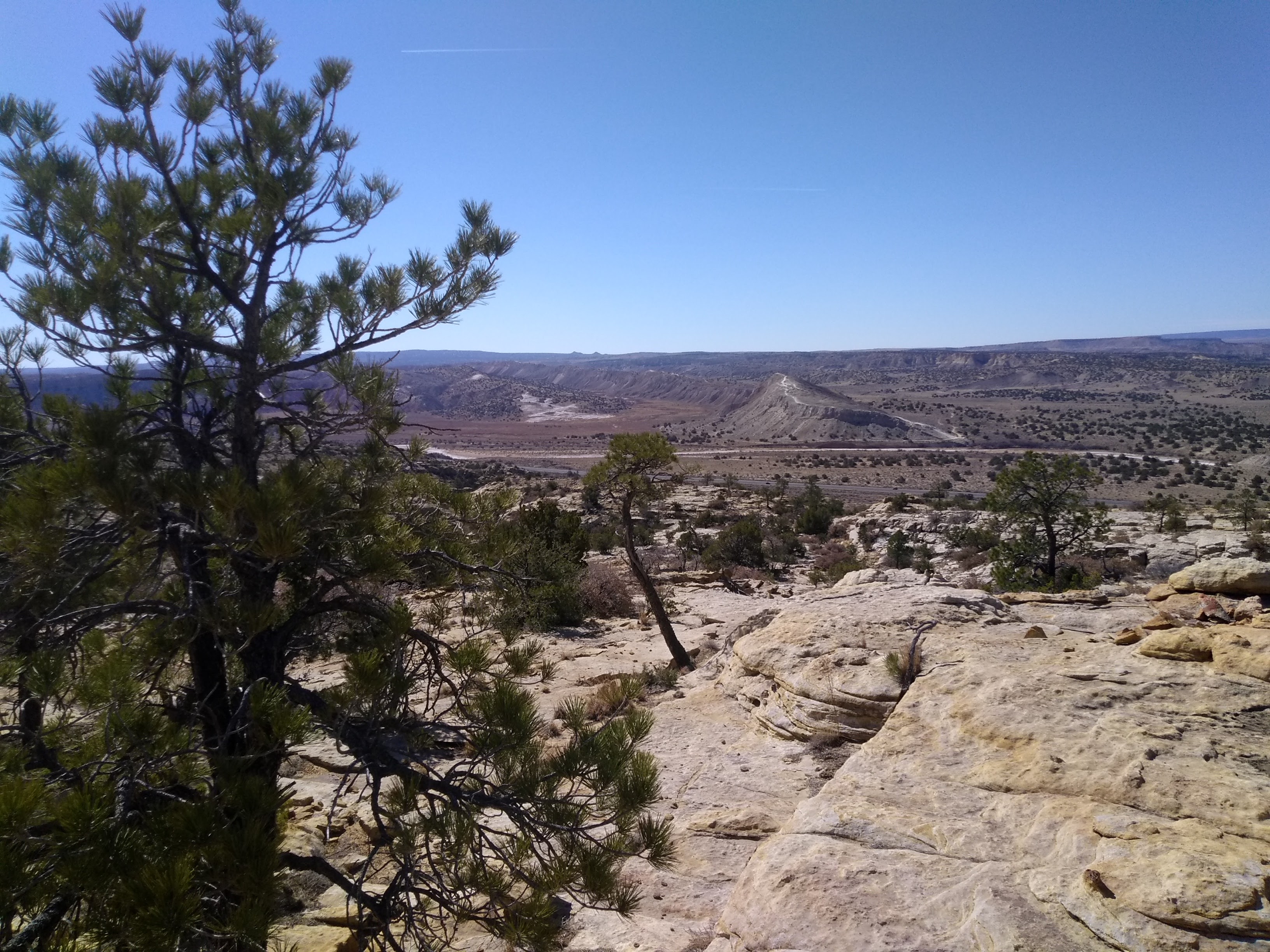
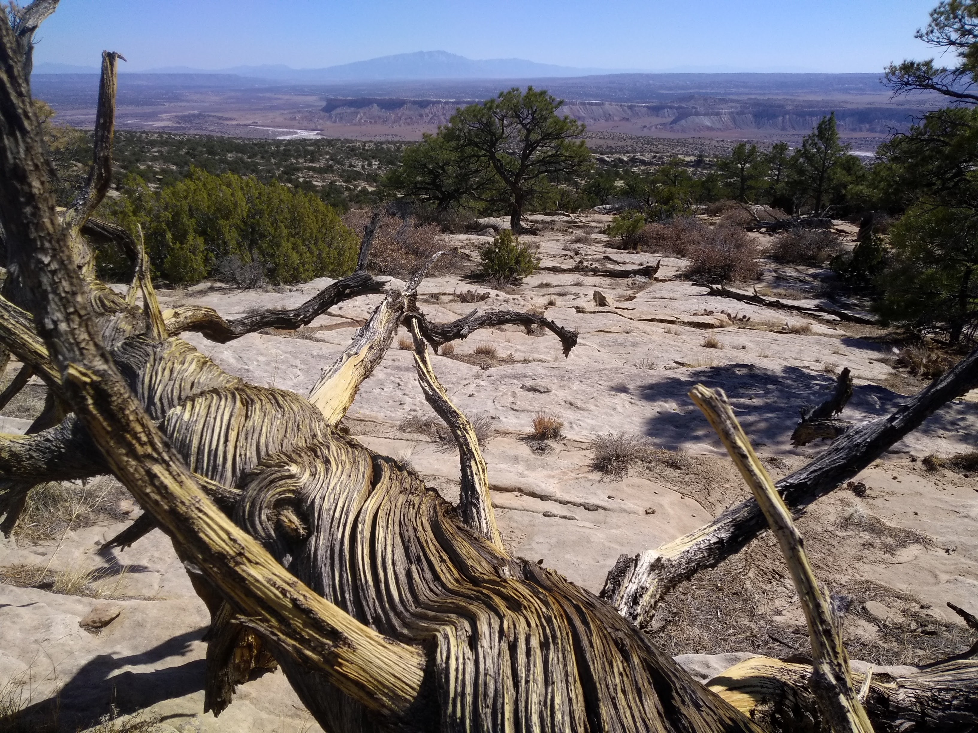
One of my favorite roads in New Mexico is US Highway 550 that runs from Bernalillo through Cuba and Farmington and on into Colorado. I always look forward to the 20-mile stretch that starts about mile marker 25. This is a section of the Rio Puerco valley that has been eroded into colorful red and yellow sandstone cliffs. On the west side of the highway is the Ojito Wilderness, miles of a rugged desert landscape with Cabezon Peak beckoning in the far distance. Next to the highway on that side is a gypsum covered mesa that is a favorite of mountain bikers. We have often hiked in that section of the Ojito, called the White Ridge Bike Trails.
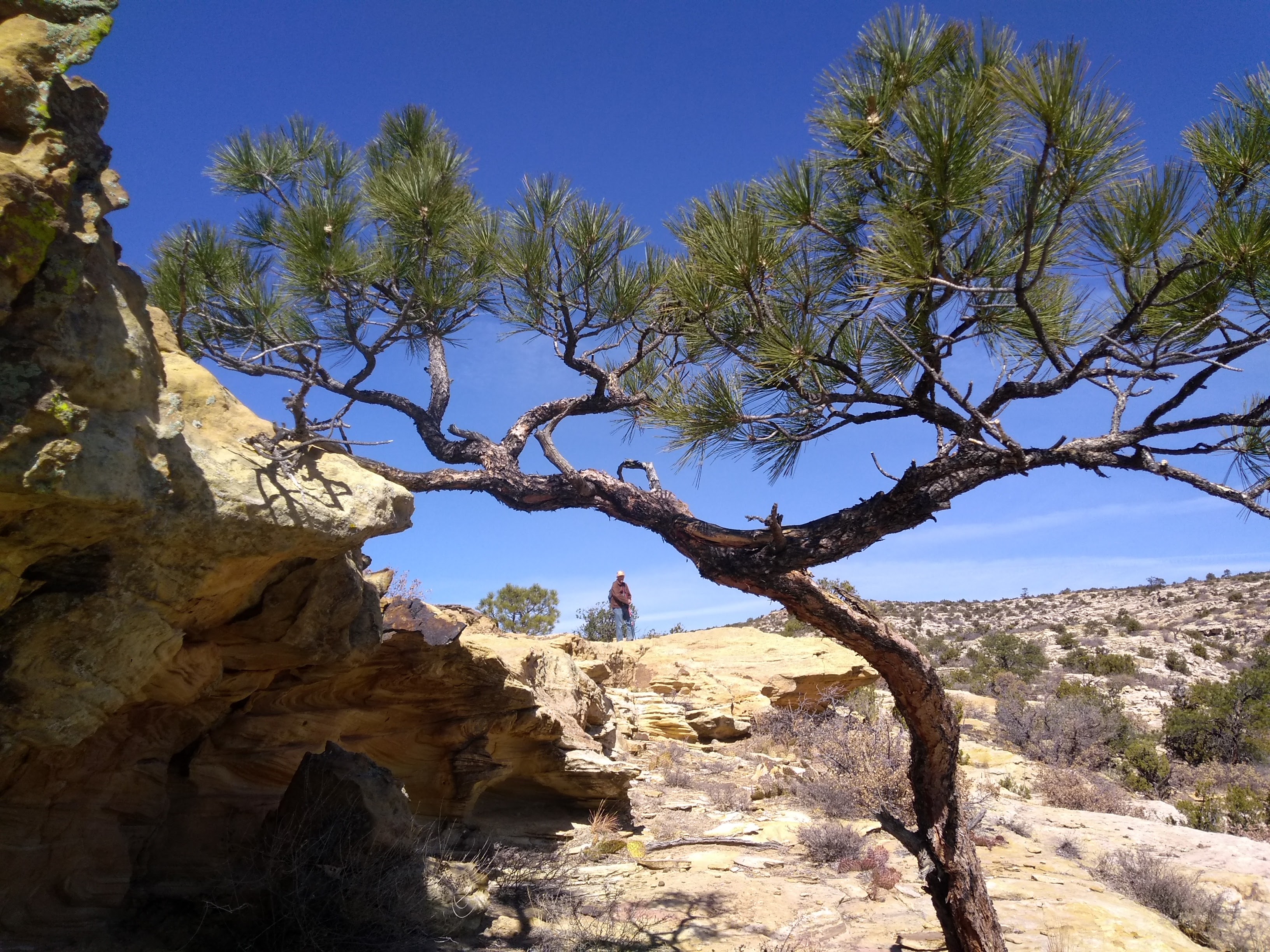
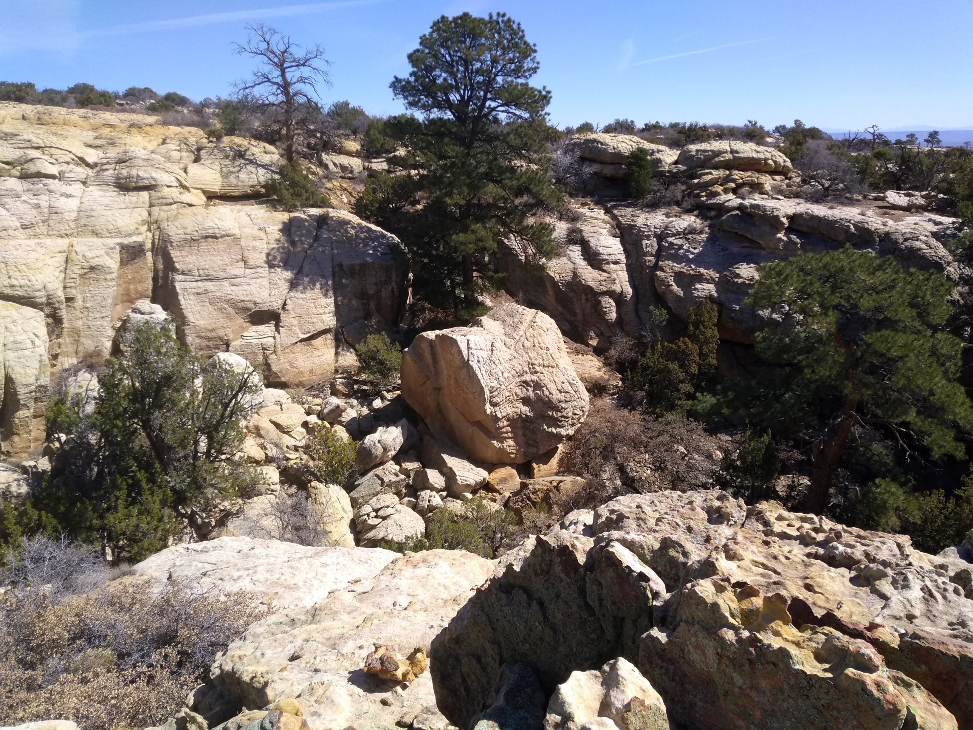
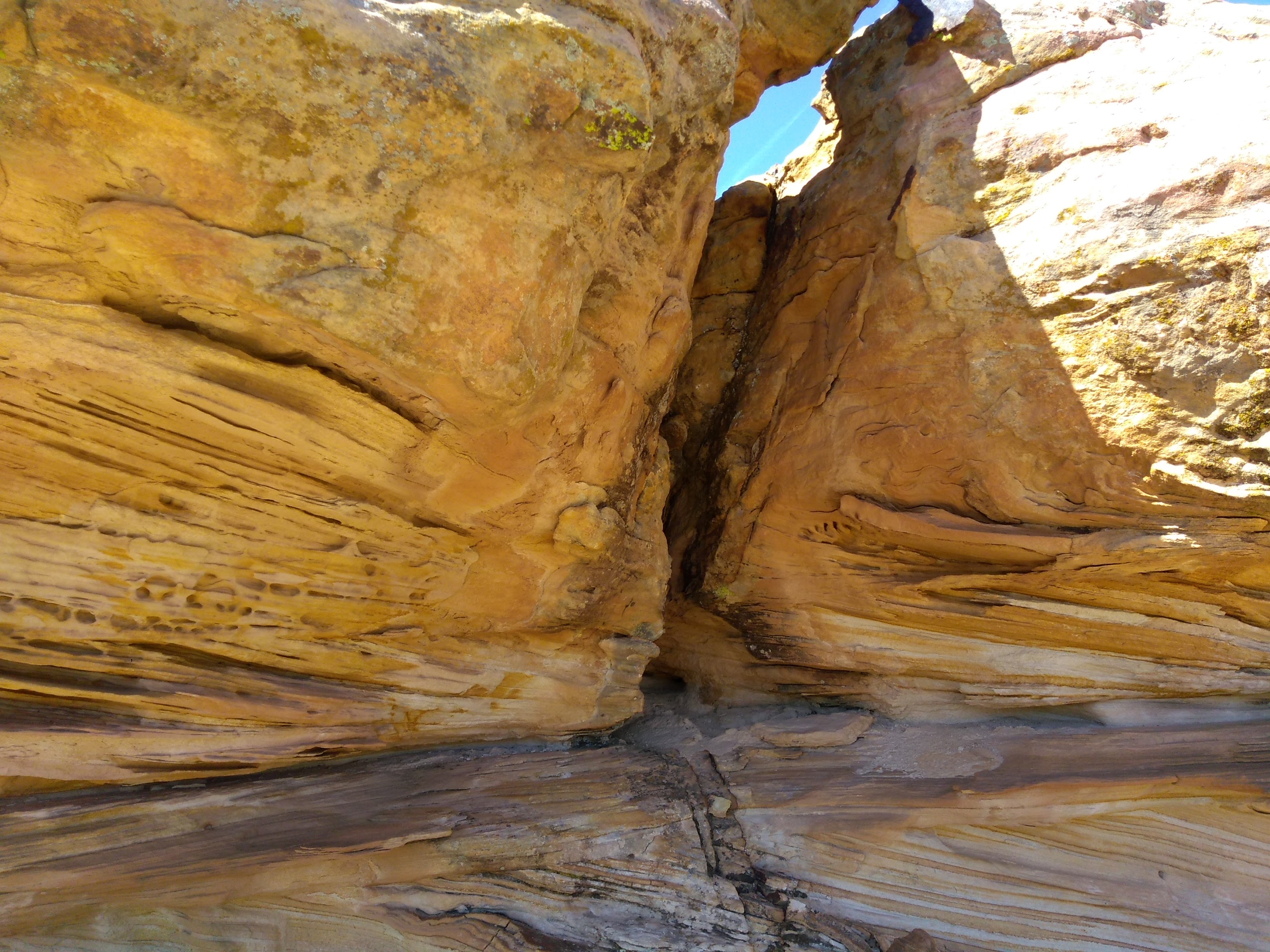
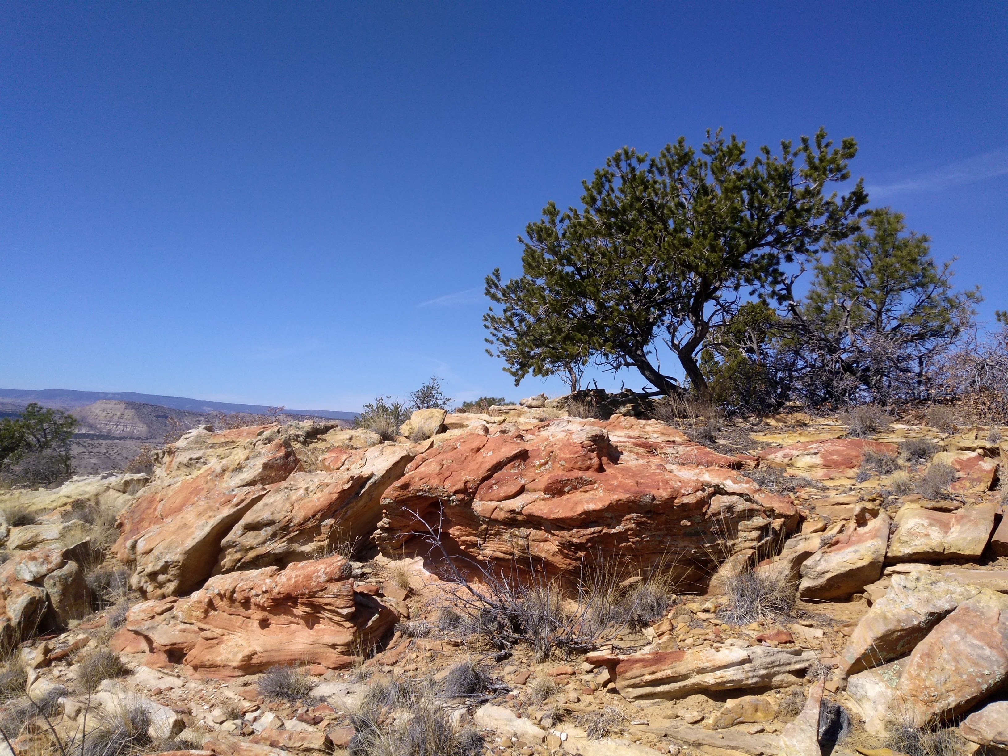
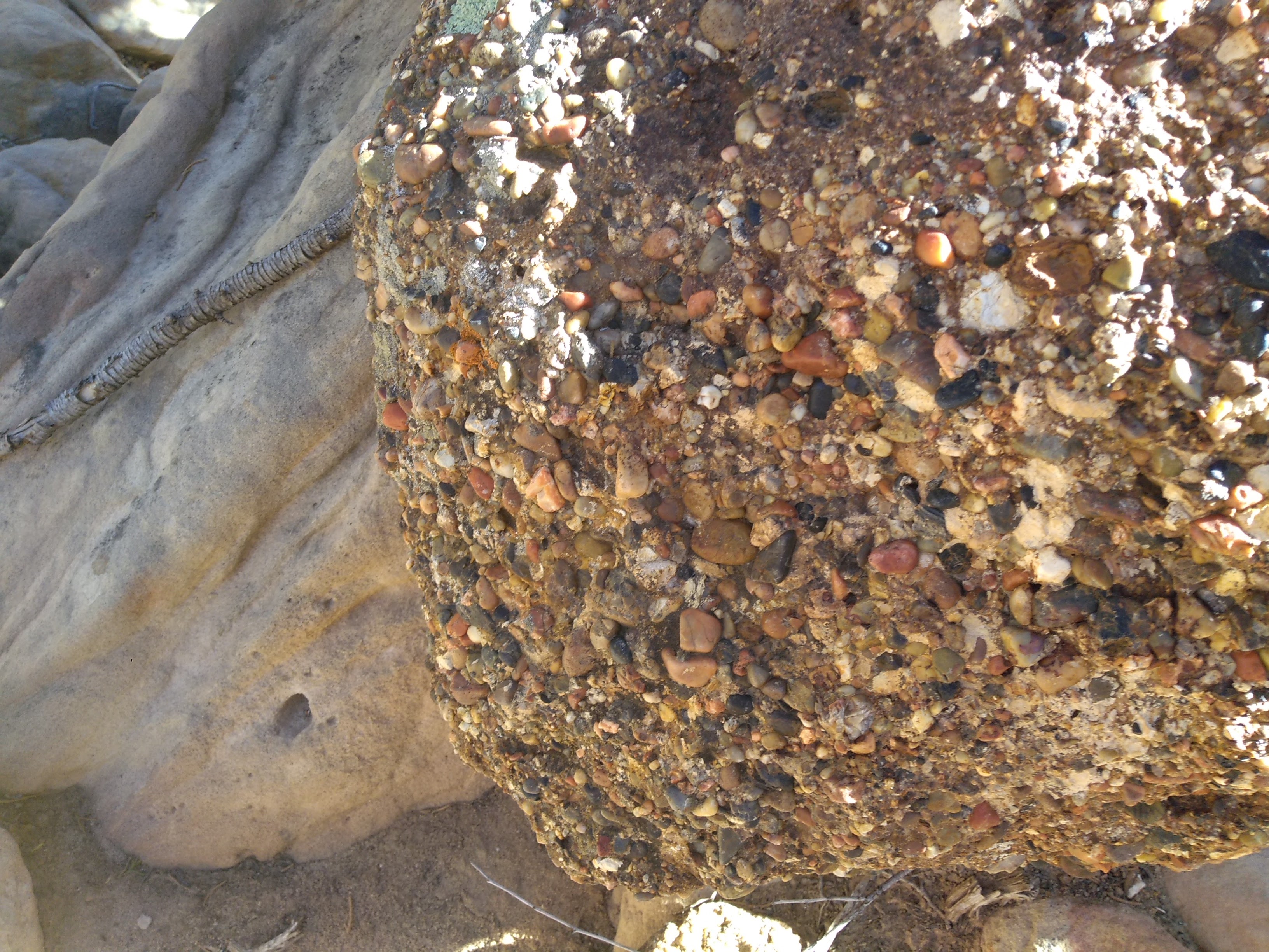
The east side of the highway doesn’t have as many hiking opportunities, since it is close to the boundary of the Jemez Pueblo. But veteran hikers at the Albuquerque Senior Centers Hiking Group (ASCHG) over the years have developed many off trail hikes on BLM land that can lead to explorations of unexpected places. On our drives through the scenic section of 550 I always look at the geology on display on the west side of the highway. I didn’t realize that on the east side, hidden behind scrubby hills and cow pastures, is a large mesa eroded into a jumble of canyons and sandstone formations. The ASCHG website lists a 6.5-mile hike there called the Red Mesa East Loop hike. We chose that yesterday as our hiking destination.
Lee had been on this hike a number of years ago with a group from the ASCHG but it was new to me. Thankfully, the ASCHG posts a downloadable GPS file for all of their hikes. We could have wandered around for hours and eventually found a way up the mesa but I feel more comfortable knowing I am on a track that won’t lead me to a cliff edge or into a dead end canyon. As it was, we struggled several times trying to figure out exactly which ledge we were supposed to head for or at what point we were supposed to cross over one of the many canyons. By the time we got back to the car we had hiked 7 miles and I was happy with the great workout and beautiful scenic views we had enjoyed.