Lee sometimes gets inside information on Cibola National Forest projects that are in the early planning stages. Several months ago he began talking about an area east of Placitas where the forest service was working on a trail up Montezuma Ridge. Neither of us had heard of Montezuma Ridge, but Lee found it on some of his maps and I could see that Google Maps has a spot in that area that is labeled Crest of Montezuma. But my usual sources of information on hiking destinations yielded nothing. If I can’t find published hike descriptions I tend to lose enthusiasm for an exploration. Lee, on the other hand, thrives on finding a hike that no one else has done.
With very little information to go on, our first attempt several weeks ago to hike up Montezuma Ridge was a dead end–literally a dead end. Lee’s maps showed that the Ridge was at the end of Diamond Tail Road in Placitas, an area of fancy estates and homes in the foothills at the northern end of the Sandia Mountains. Diamond Tail Road, on the map, appeared to lead through a subdivision before ending at the base of the mountain. Our plan was to drive to the end of the road, park our car, and look for a trail. After several miles of winding through the back roads of Placitas, just before the hill that hid the wealthiest homes, we discovered that the last part of Diamond Tail Road passed through a gated community. With no access for the public, no obvious way for us to get any closer to the ridge and no place nearby to park, we were forced to turn around and find another place to hike in Placitas.
There are two official Forest Service trails at the base of the Sandias that have parking areas on the outskirts of Placitas, as well as a county Open Space Park with hiking trails. Information on the trails at the Open Space is limited and a couple of our attempts in the past to hike there haven’t been very successful. But one unexpected source of maps for the Placitas area is a real estate office on the main road just outside the village limits. We stopped in there to refresh our map supply and Lee was helped by a friendly and quite knowledgeable agent who gave him some tips on local hikes. We were on our way out of Placitas, having hiked at one of the places we knew, but Lee filed away what he learned about Montezuma Ridge for a future Placitas exploration.
The real estate agent had said that there was a parking area on Diamond Tail Road shortly before the gated community and she knew that people parked there to hike. Other than that, she didn’t know specifics about the trail. And in the weeks following our failed attempt Lee hadn’t come across any additional information about the hike. So yesterday when he proposed we make a second go at finding a Montezuma Ridge trail I was not thrilled. I envisioned another one of our unexciting meanders through the arroyos and brushy desert scrublands of Placitas. When we parked and got out of the car I wasn’t even going to bother with taking a hiking pole. The first slippery, snow covered embankment we had to scramble over to get out of the parking lot convinced me otherwise. Lee offered to go back to the car and get my pole I didn’t argue with him.
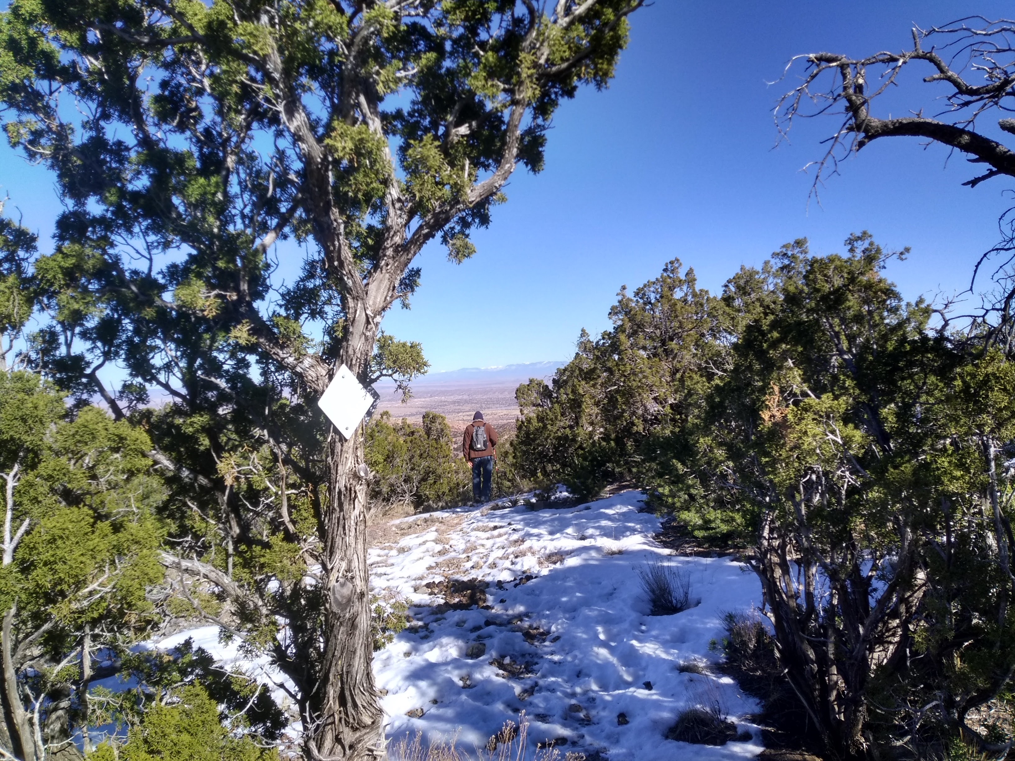
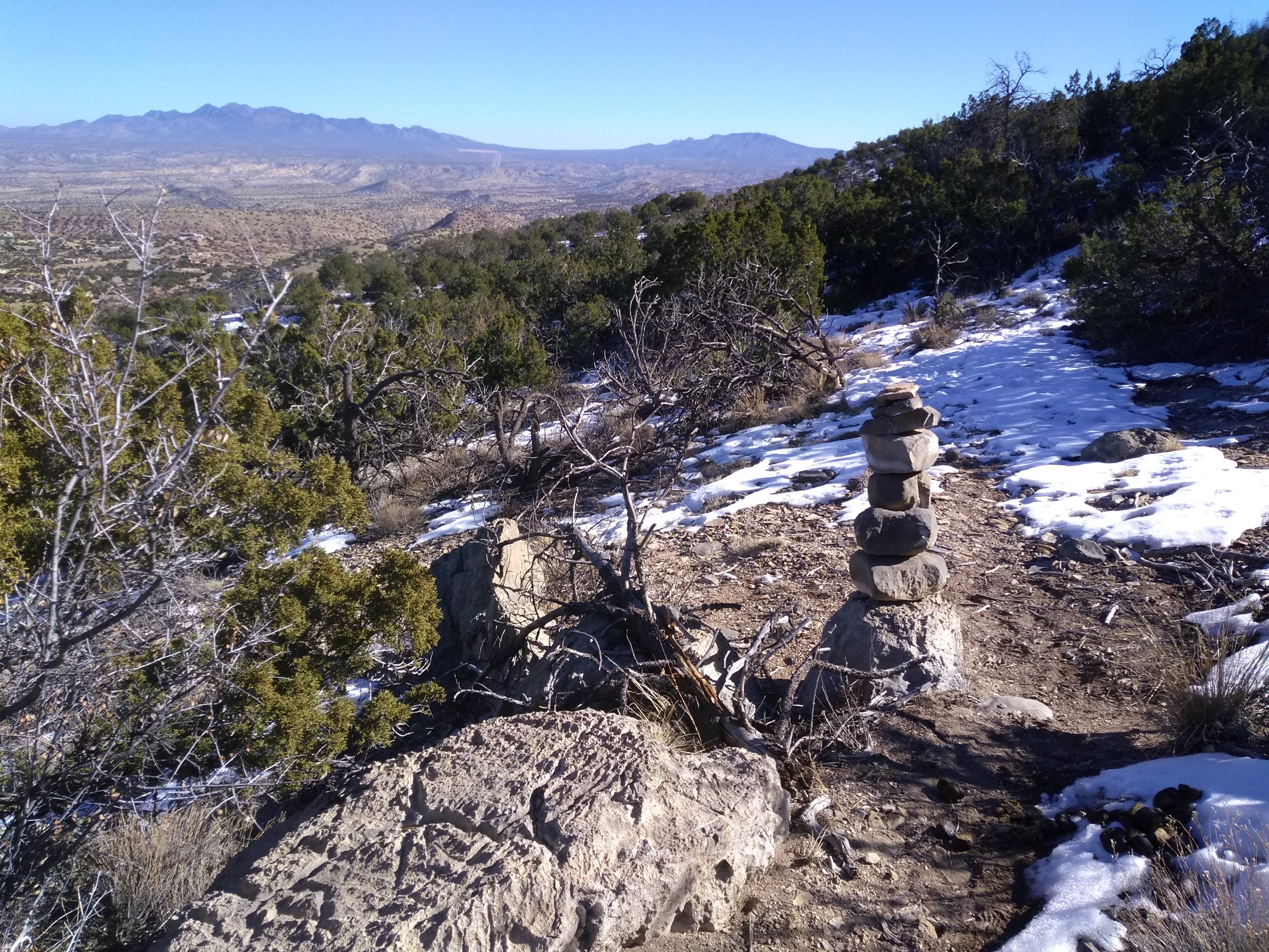
As the hike progressed upwards through some rocky and steep terrain I was very thankful that I had a hiking pole. I wasn’t expecting an uphill climb, not having the faith that we would even find Montezuma Ridge. As expected there were no signs to indicate a trail so we headed into the scrub, following tracks made by off road ATV’s. That led us to one of the all too common New Mexico clearings that is used for target practice. Fortunately, looking just east of the clearing on the opposite side of the arroyo, we noticed what appeared to be a trail winding around a bend in the arroyo. We backtracked and shortly found ourselves on a trail that actually had a nice series of rock cairns leading off into the pinyon pines. The cairns weren’t always visible when needed and we made several false turns. But with tracks in the snow made by previous hikers and, once in awhile, even a trail marker on a tree we managed to get up the ridge.
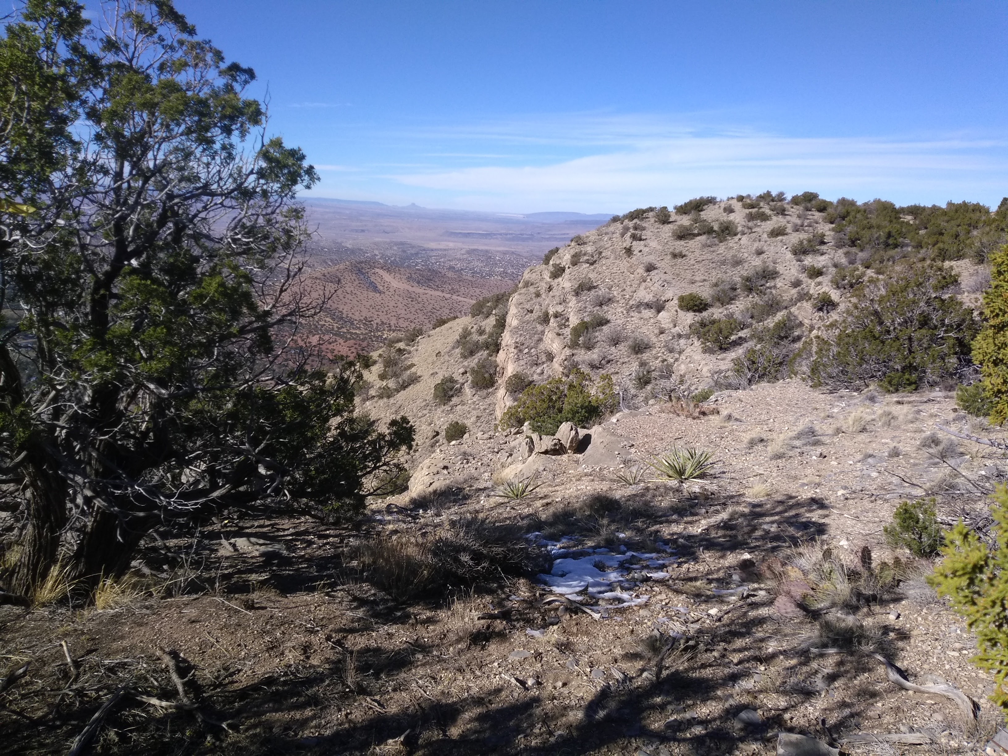
We didn’t make it to the section of the ridge that shows up on maps as the Crest of Montezuma but we could see how to get to it from our turnaround spot at the top. It didn’t appear too difficult to get there and we filed that away as a future hiking destination. With 2.4 miles of exploratory hiking and a 700 foot elevation gain we figured we had earned our lunch break before heading back down.


Always nice to find something new to do! Good job Lee
This trail is not yet on the Forest Service’s agenda, but being proposed by members of a collaborative of citizens committed to the well-being and values of the forest – https://www.sandiacollaborative.com/ The Forest Service’s current priorities, such as tree health and forest fires in the age of extended drought, tax its current financial and manpower resources. In the meantime, we salute good trail stewards.