Sierra Ladrones is Spanish for “thieves mountains” and is the name of the isolated, jagged peaks visible on the horizon south of Albuquerque. It is said that Navajo and Apache raiders had hideaways there and that thieves and outlaws could elude their pursuers in the rugged terrain.
Today most of the Sierra Ladrones is part of a BLM Wilderness Study Area. There are no established trails up to the peaks but they are so prominent as they rise up from the surrounding desert that you can easily see where you need to go. The challenge is trying to find a way to get close enough to the base of the mountains where you can start hiking.
The southeast side of the mountain is part of Sevilleta National Wildlife Refuge and the public is allowed access on those roads only as part of a guided tour. Several years ago I had the opportunity to go on a group hike partway up the southeast side. The terrain was unbelievably rugged. It’s one of the hardest hikes I’ve ever done and we only got to a saddle where we could look down the north slope and also see the highest peak looming over us to the west.
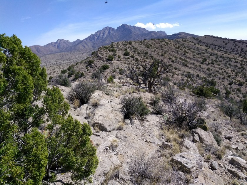
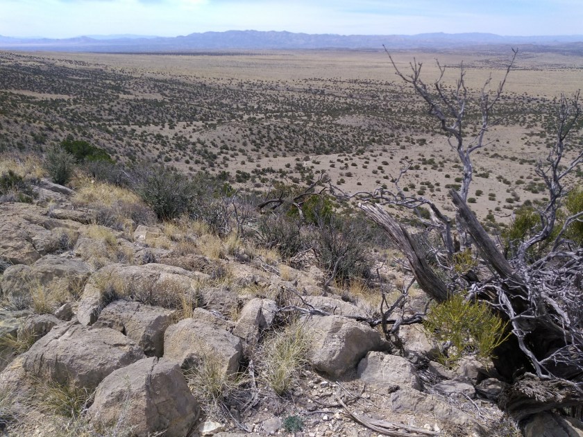
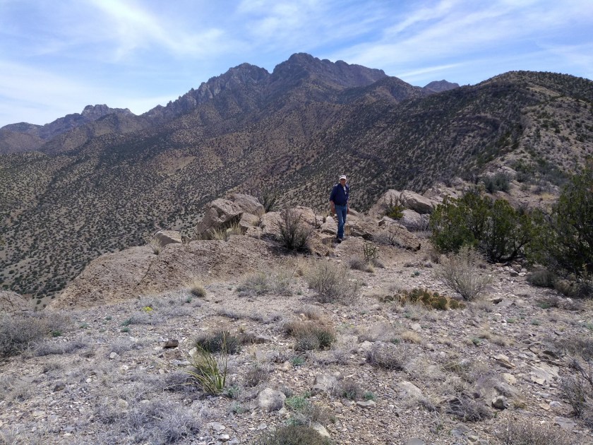
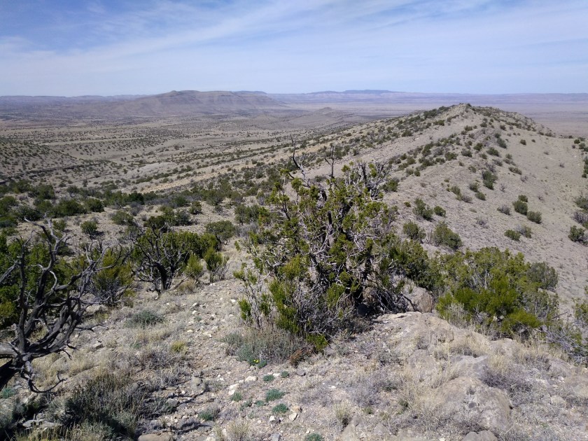
Today we followed directions in the 60 Hikes Within 60 Miles of Albuquerque book for a hike that starts from the northwest side of the Ladrones. After leaving the interstate it took 45 minutes to drive over the very rough 18-mile dirt road that traverses the scrub desert and barren range lands to reach a long ridge that slopes off the mountain making possible a relatively gradual ascent up towards the peak.
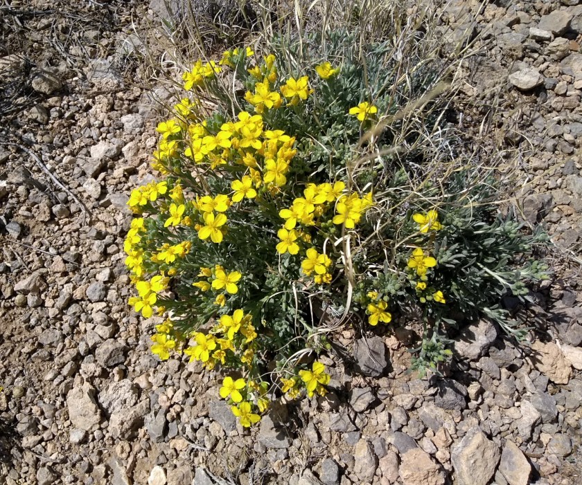
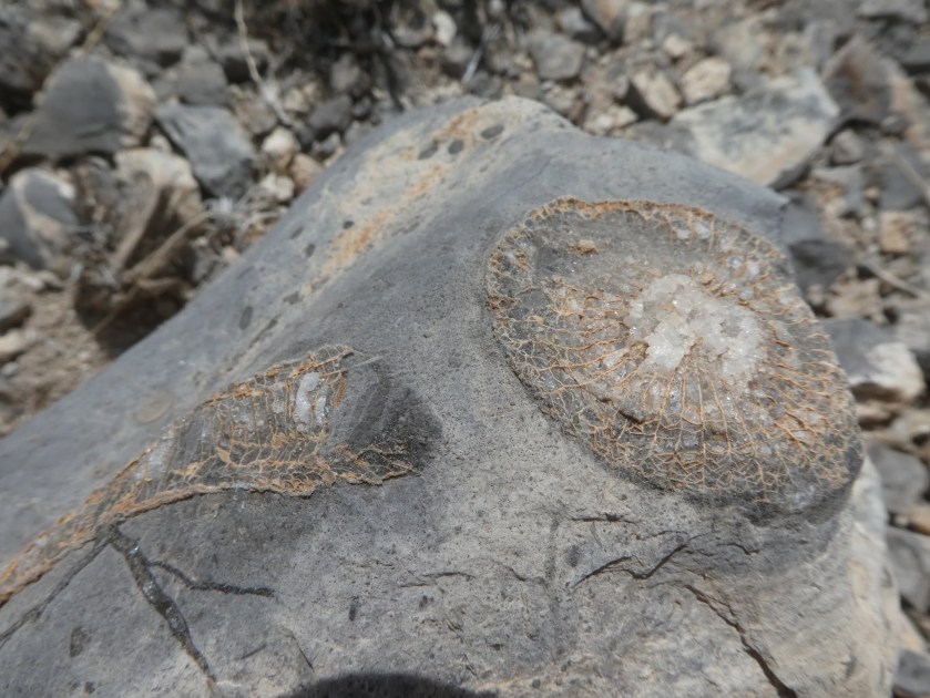
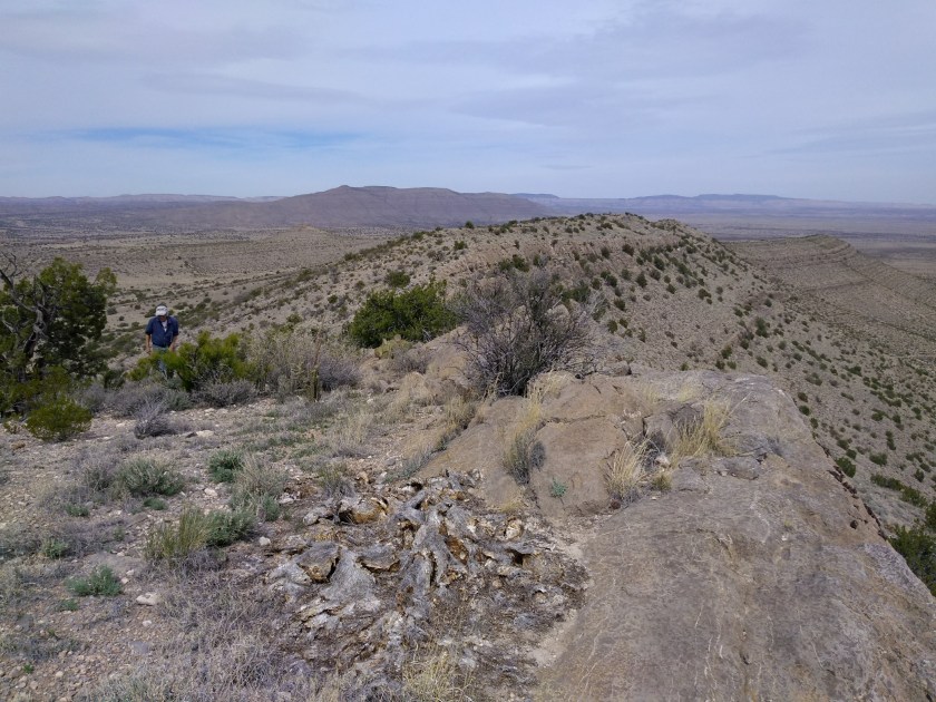
It was an interesting limestone ridge to hike up. There was always a view of the surrounding vast emptiness in all directions if you looked around and if you looked down at your feet there were multitudes of fossils embedded in the limestone. We only went up about 3 miles before turning around. With no shade anywhere on the trail it isn’t a hike to do in the summer, but for a spring day it was perfect. Fall would also be good and after having the summer to get in better shape maybe we would have enough energy to go further next time.


That area looks quite barren! It also look like it would be a somewhat difficult hike without any trails. How much farther would you have needed to go to get to any sort of peak?
Our stopping point was elevation 6700′. The ridge had ups and downs and there was another up section ahead. According to the book, in another mile we would have reached a 7000′ peak. From there, I think it would be about 1-1/2 miles to the 9200′ foot peak. Not an easy climb, even for experienced climbers. Here’s a comment from someone on AllTrails https://www.alltrails.com/trail/us/new-mexico/sierra-ladrones-and-ladron-peak