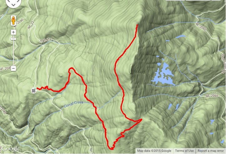
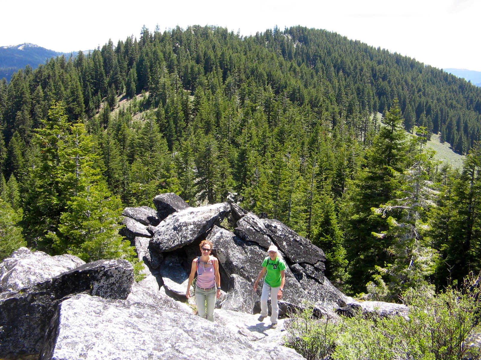
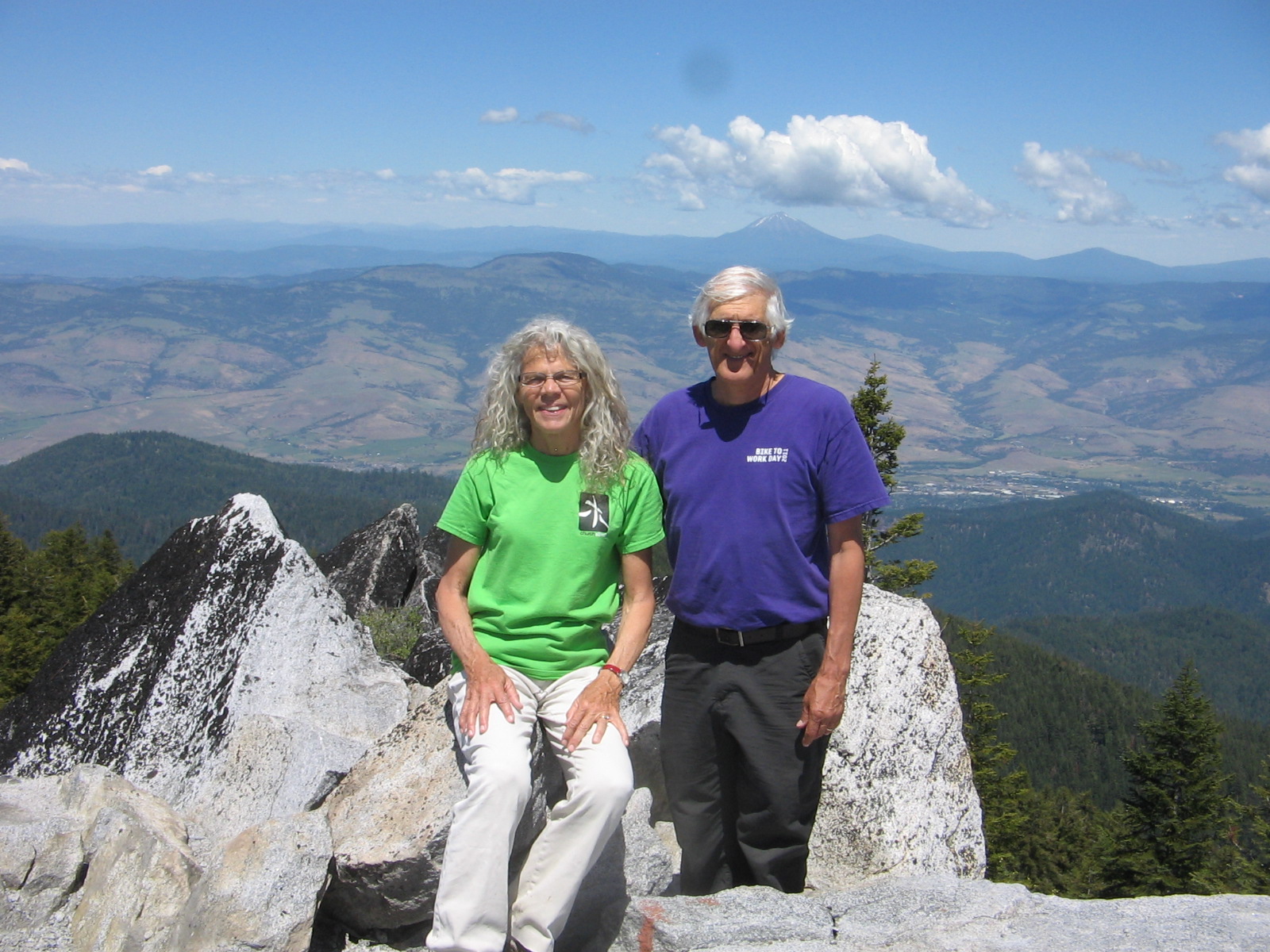
When Ruth said we were going to hike up Wagner Butte, I pictured a flat mesa with great views from the top. Once we reached the top, the great views were there, but I had a hard time understanding why it was named Wagner Butte, instead of Wagner Peak. The 7140-foot summit makes an abrupt appearance as a large pile of rocks up ahead through the trees at the end of a 5-mile hike. The last stretch is a scramble up the rocks to a small platform that still has remnants of the foundation of an old fire lookout tower.
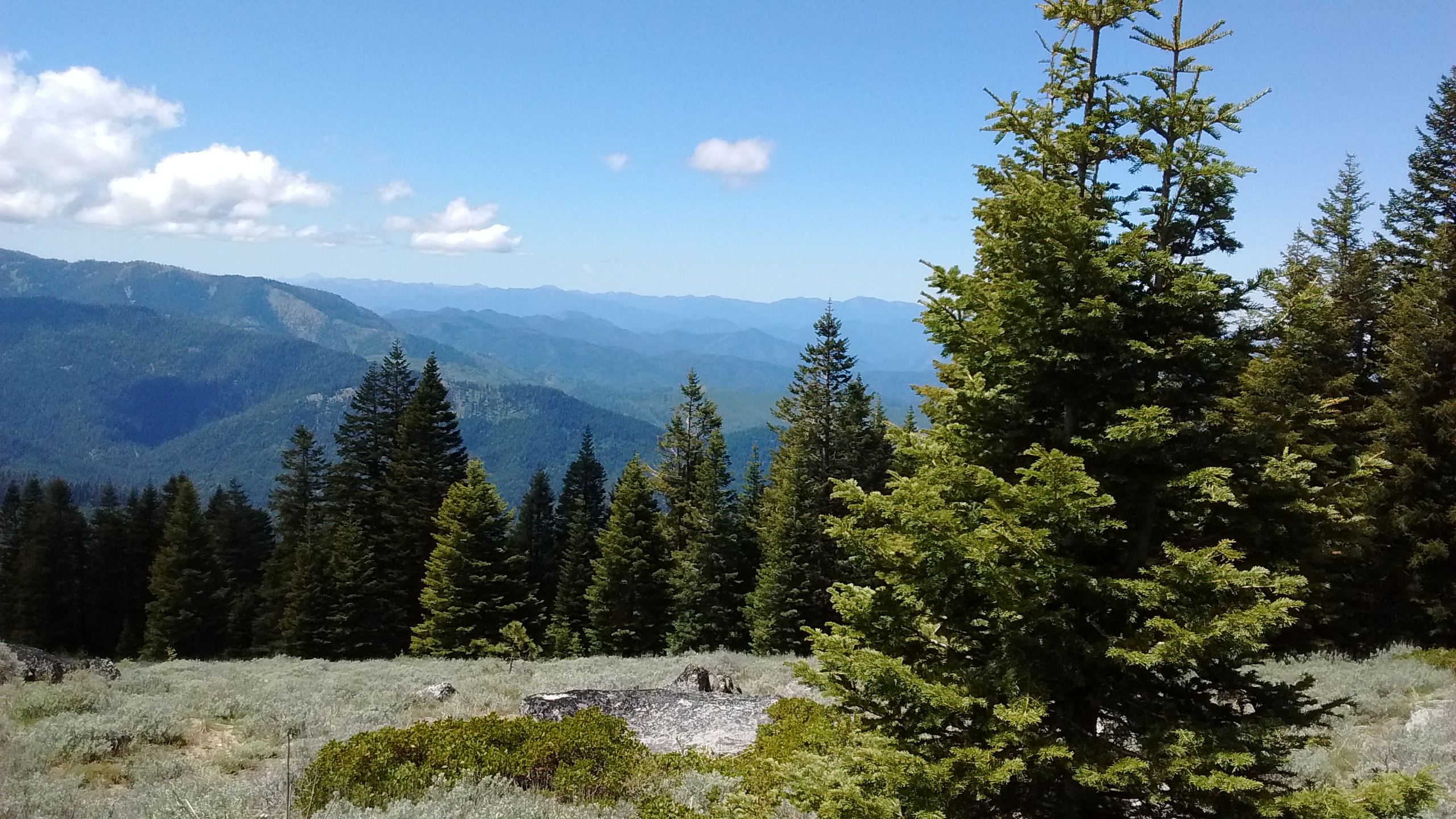
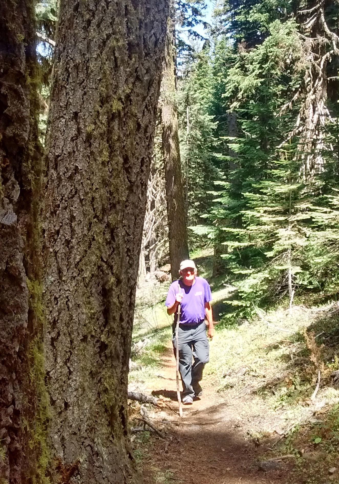
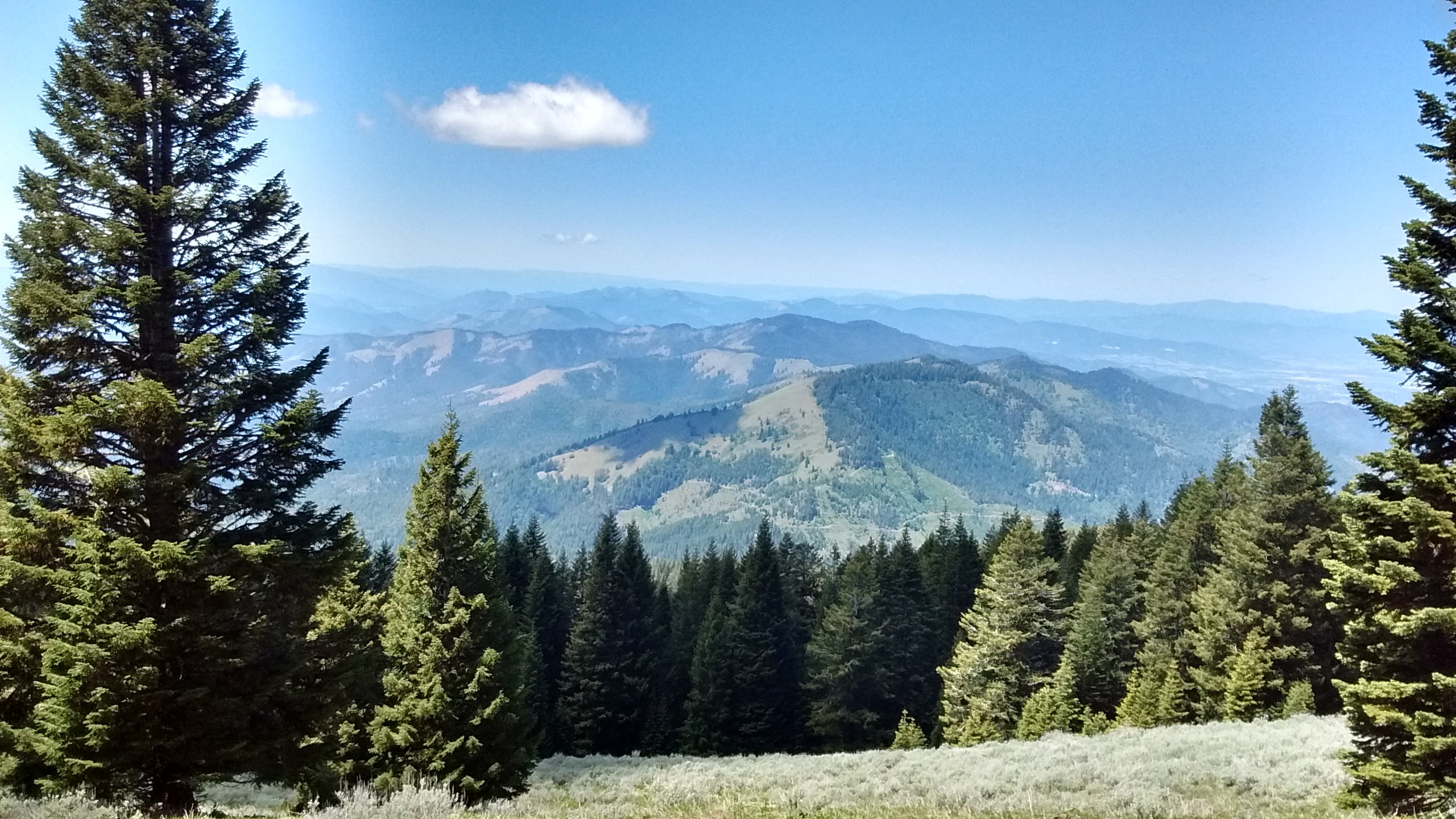
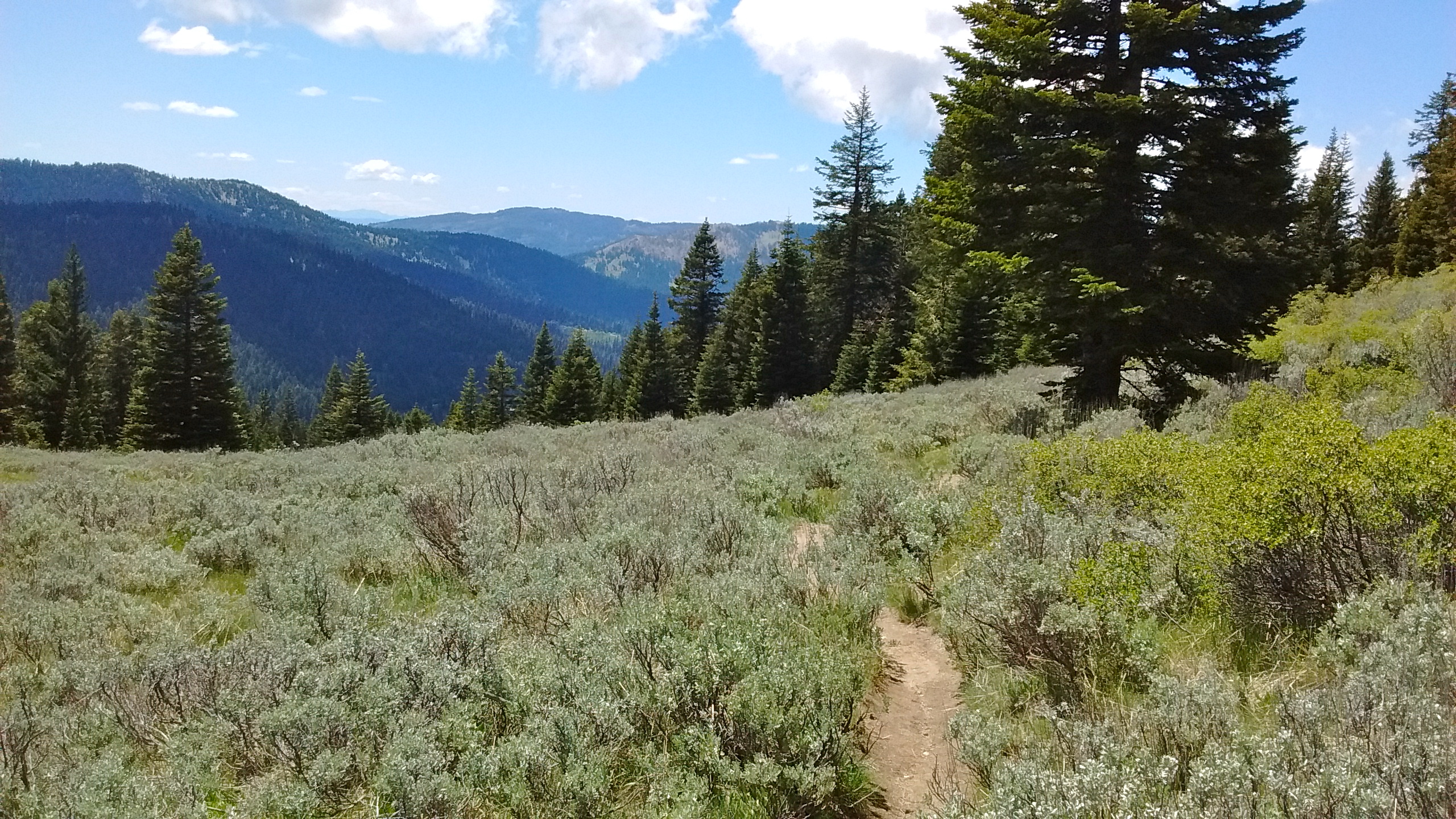
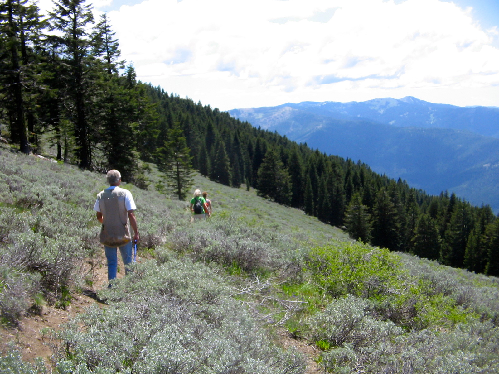
The trail was a steady climb, gaining about 2000 feet of elevation over the 5 miles. But there were many switchbacks, making it much less strenous than the trails we are used to in the Sandia Mountains. We also enjoyed the varying terrain, passing through deep forests, then coming out to mountain meadows, and then back into the forest, all the while getting more and more of a view of endless mountains stretching in the distance.
We would have been able to see Mt. Shasta from the top, except that during the time we were up there a big cloud was covering it with just the base of it visible. We were able to see Mt. Ashland behind us to the south and Mt. McLoughlin on the horizon to the east. And, of course, awesome views of the Rogue and Applegate Valleys. It was perfect weather for hiking and will certainly go on our list as a Southern Oregon favorite.


That looks like a great hike, and always good for family to get together.