
Since our last hike of 2013 was at one of the Albuquerque Open Space areas, it seemed appropriate to “open” the 2014 hiking season with another hike at an Albuquerque Open Space area. Although geographically close to each other, these 2 areas have a very different physical environment, which is part of what makes our city such an interesting place to live. That, combined with the fact that the city is committed to investing in public lands that all outdoor enthusiasts can enjoy, is one of the main reasons we chose this city as our home.
No other large metropolitan area in the US has as much public land per capita as Albuquerque. Nearly 29,000 acres of land under the city’s jurisdiction has been set aside to preserve unique landscapes, protect sensitive habitats, and provide miles of recreational trails for hiking, biking and horseback riding.
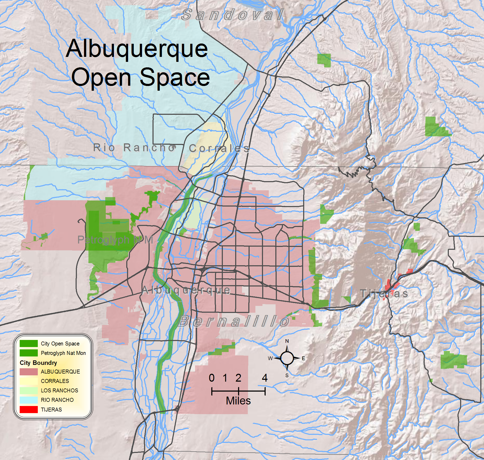
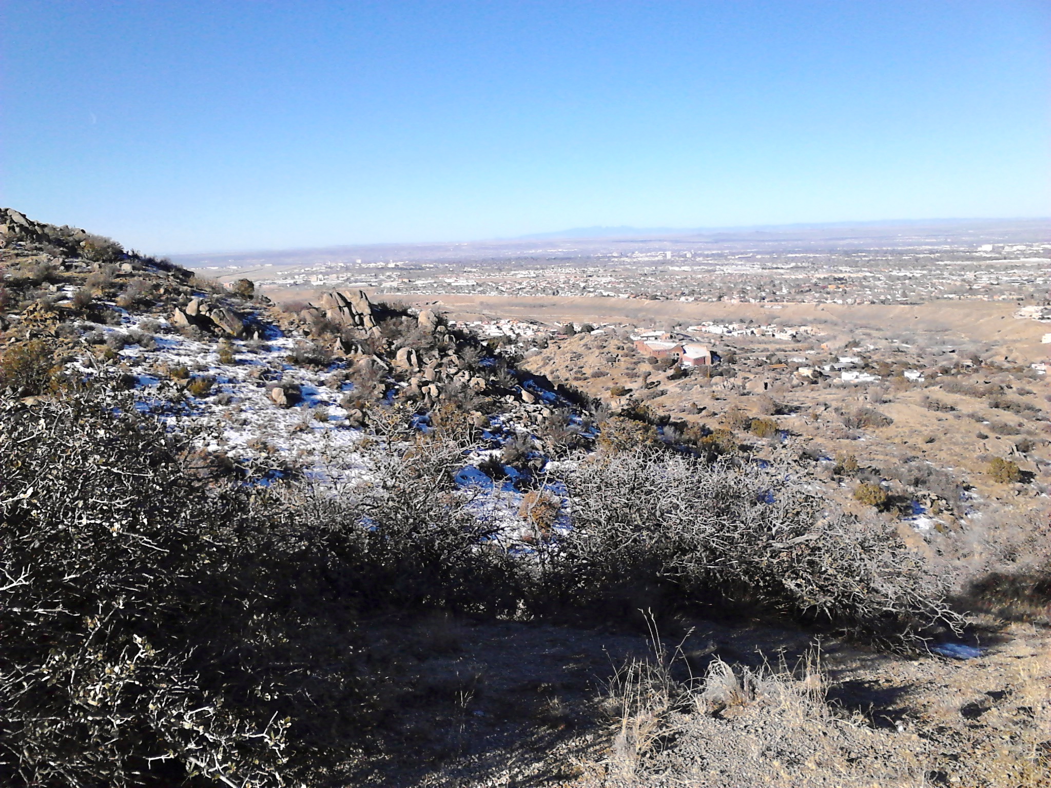
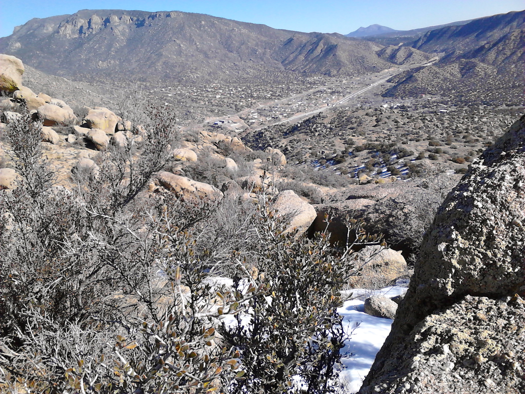
The map below shows the diversity of areas that are included in the Open Space. The area in the upper right corner (larger of the 2 polygons and the one furthest to the right) is the Golden Open Space where we hiked last week. The hike today was at Manzano Open Space, southwest of Tijeras, in the Sandia foothills, on the south side of I-40. We live on the west side of the Rio Grande, but it takes no time at all on a Saturday morning to drive across the city to enjoy these east side Open Spaces.
Albuquerque Open Space map
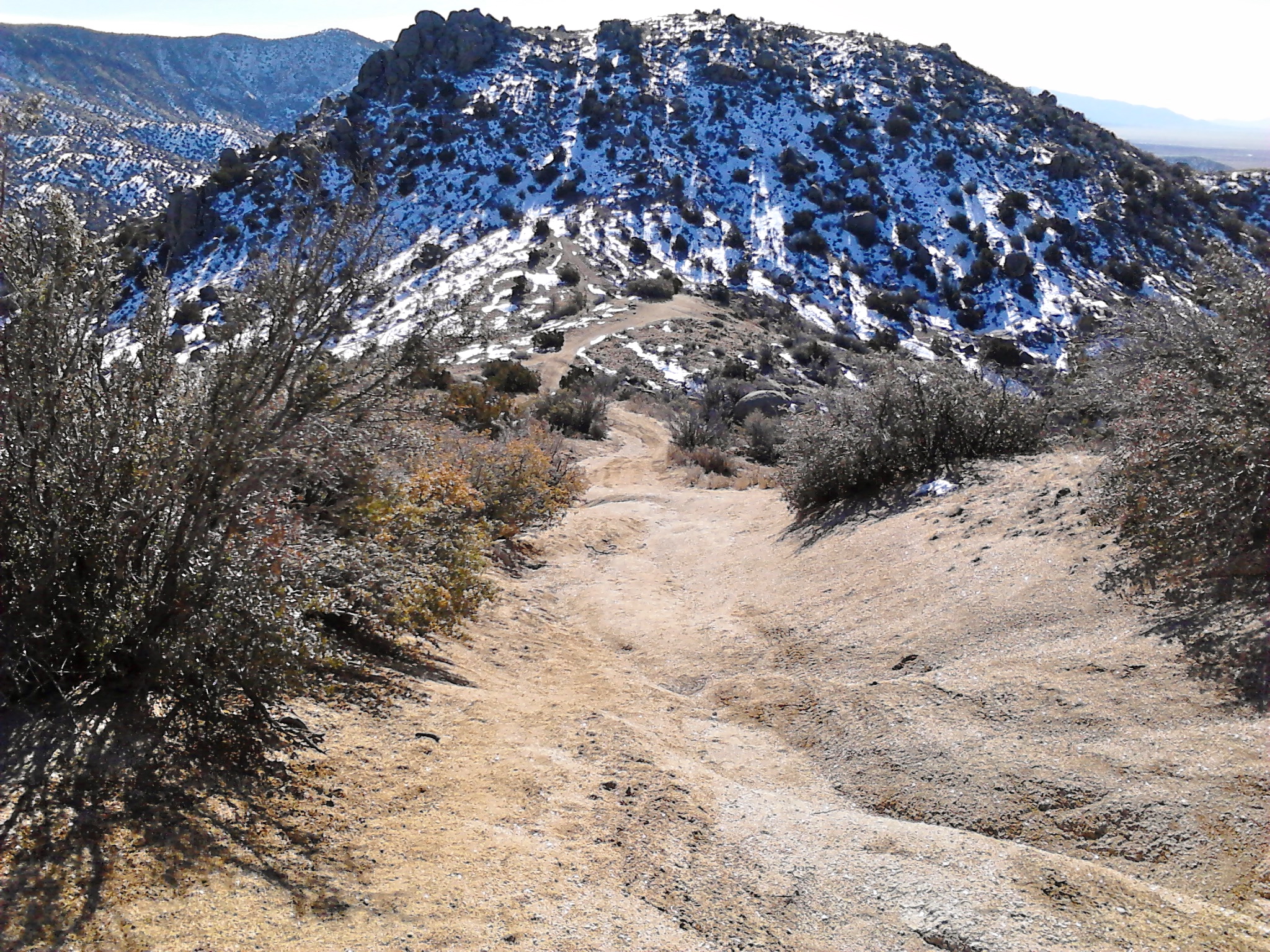
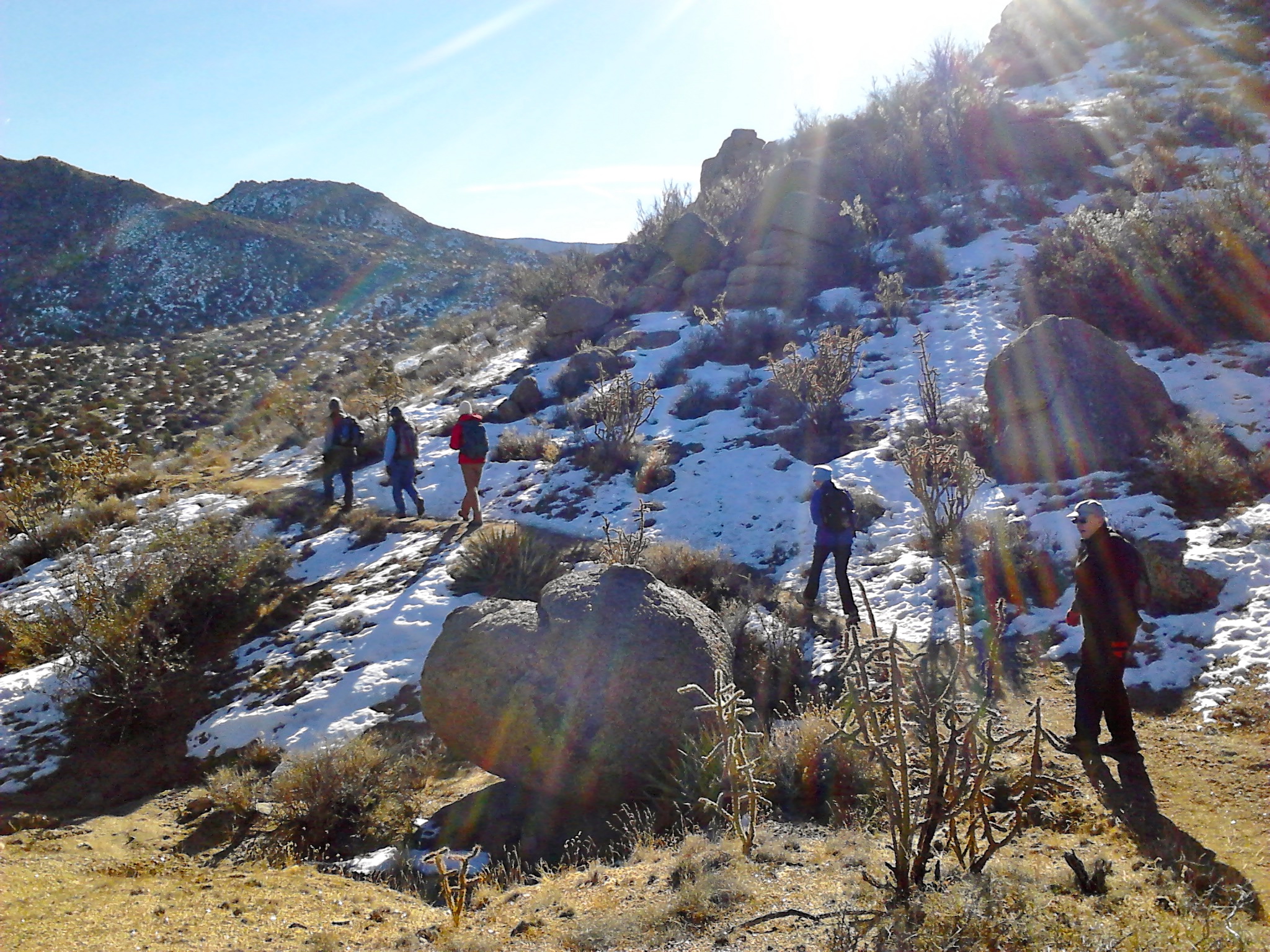
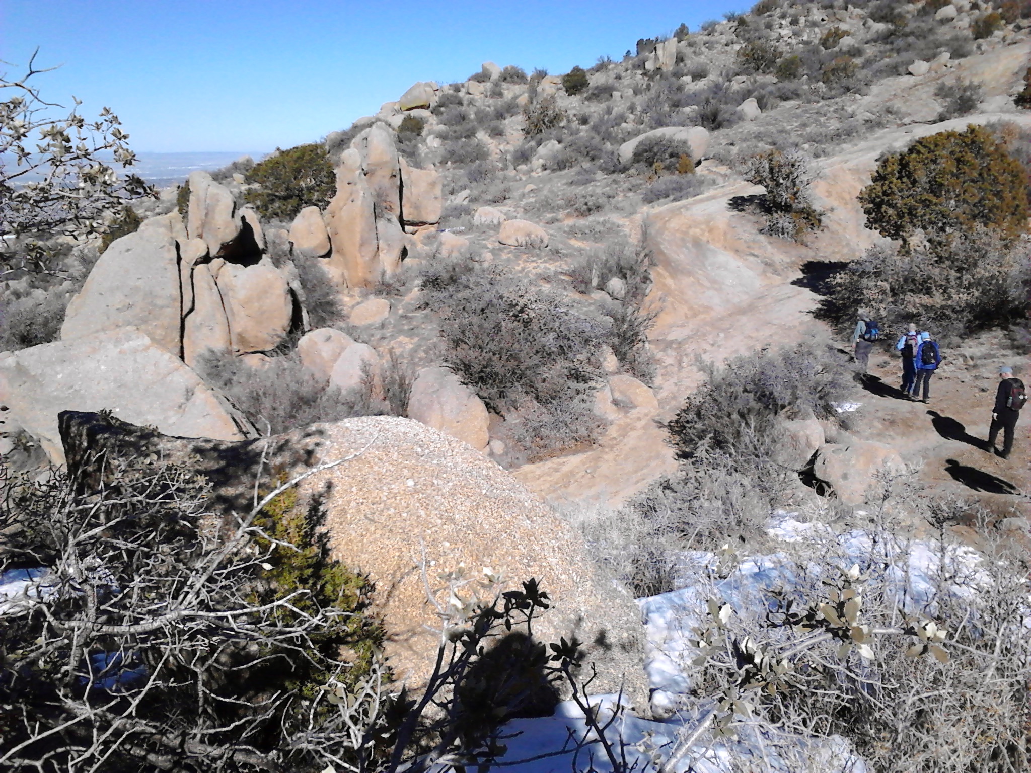
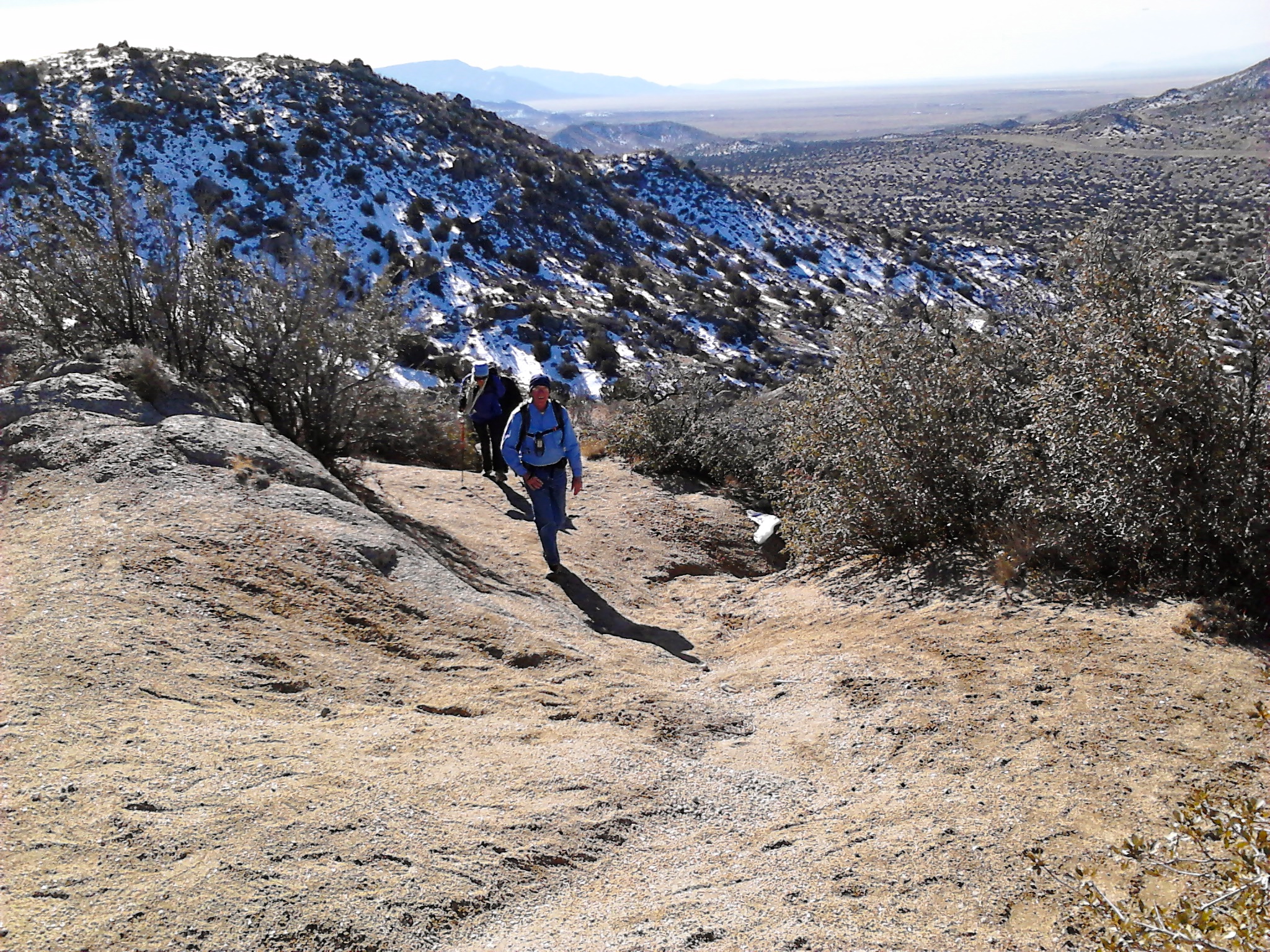
There were six of us on this group hike, which normally would have started with loading a van of hikers at one of the senior centers. But, since there weren’t any available van drivers on this particular day, the hike started with everyone meeting at the traihead. The weather forecast was predicting a storm front for the weekend that would begin with strong afternoon winds. Although the winds did noticeably pick up later in the morning, we couldn’t have asked for better weather as we began our trek up through the foothills. With the clear air and bright sunshine we have come to expect on New Mexico winter days, we had awesome views of the city below us to the west and Tijeras canyon and I-40 to the east.

2014 is off to a good start and we look forward to spending our second year enjoying the outdoors in the beautiful land of enchantment.
Every Trail map showing the track of our hike.

One thought on “Opening the New Year at Albuquerque Open Spaces”