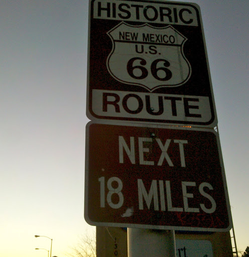
We have been enjoying Albuquerque so much that we signed on for a second week at our extended stay hotel here. Staying for 2 whole weeks at one location will be a first since leaving Oakton in December!
The fact that it is an abnormally early spring this year has probably helped promote our positive impression of the area. It’s taken a bit of adjustment for me to cope with the chilly morning temperatures, but it doesn’t take long for the sun to warm things up. Only one day since we have been here could be called a cloudy day and those clouds didn’t stay around very long. At times we have had to cope with strong winds, for example, on our Sunday afternoon bike ride.
Our hotel is a block from the Tramway Bike Path and we thought an enjoyable Sunday afternoon activity would be to ride out and back and enjoy the views of the Rio Grande valley to the west and the Sandia Mountains to the east. We are on the south end of the path and the 9 mile ride to the ending point at the north was quite pleasant. But turning around we were in for a surprise. The wind had picked up considerably and it was blowing quite strong from the south. It was a good workout getting back to our hotel.
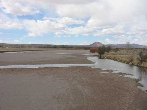
We learned a lesson from our Tramway Bike Path experience and used the prevailing winds to our advantage the next time we did a bike ride. That ride was on the Paseo del Bosque Bike Trail, which basically parallels the Tramway Bike Path, but is west of the city along the Rio Grande. We started on the north end of that trail so that by the time we turned around in the afternoon to head back north, the south winds were tailwinds, instead of headwinds.On the Paseo del Bosque Bike Trail.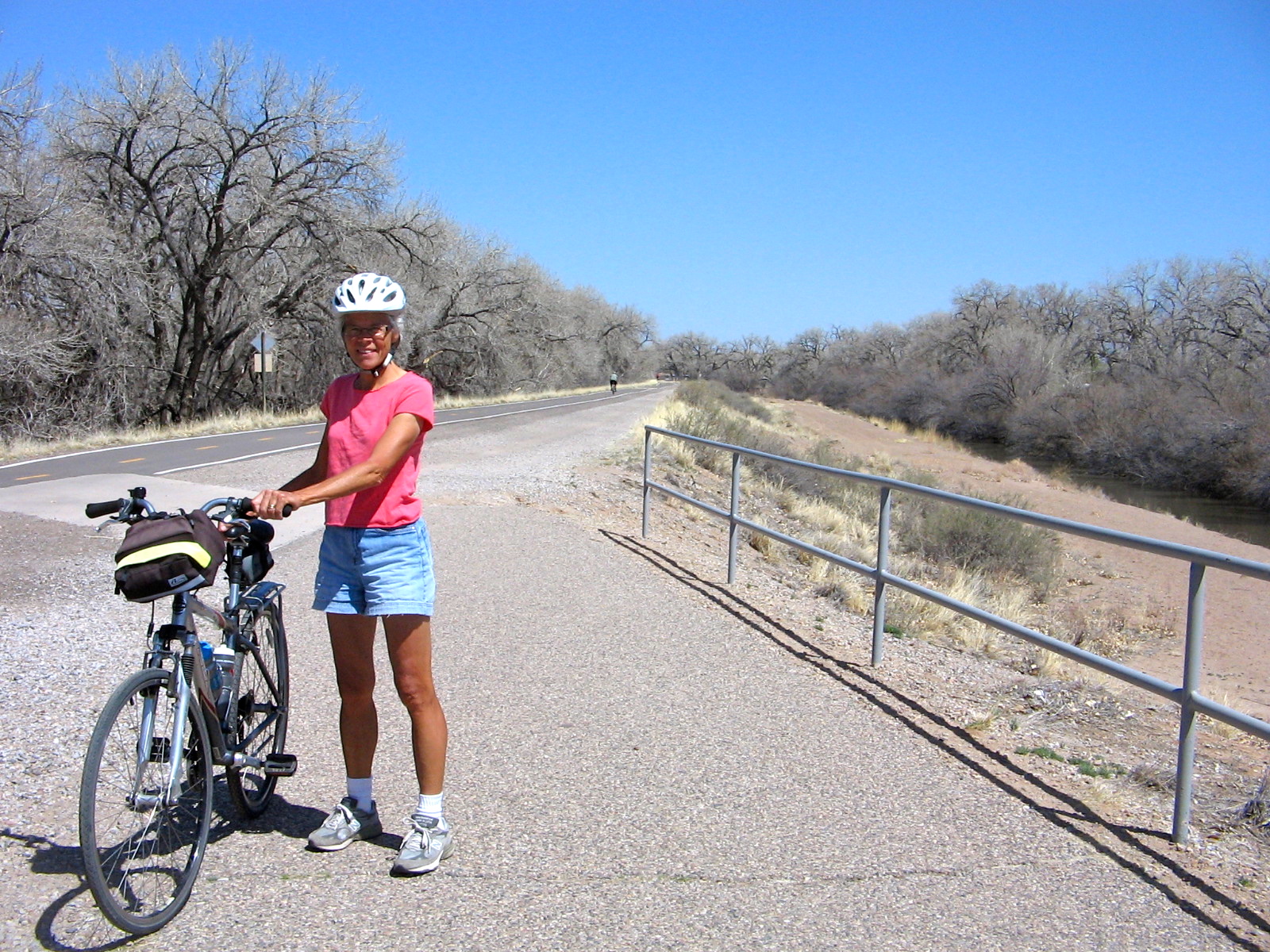
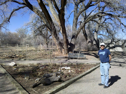
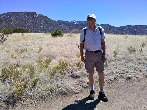
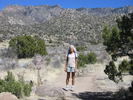
Besides bike riding, we have also taken several walks in surrounding desert areas. We wanted to visit Petroglyph National Monument, but to get the full picture of the history and geology of this area it required making two separate visits. One visit was to the western boundary of the monument to walk through the area known locally as the Albuquerque Volcanoes.
Volcanic formations at Petroglyph National Monument.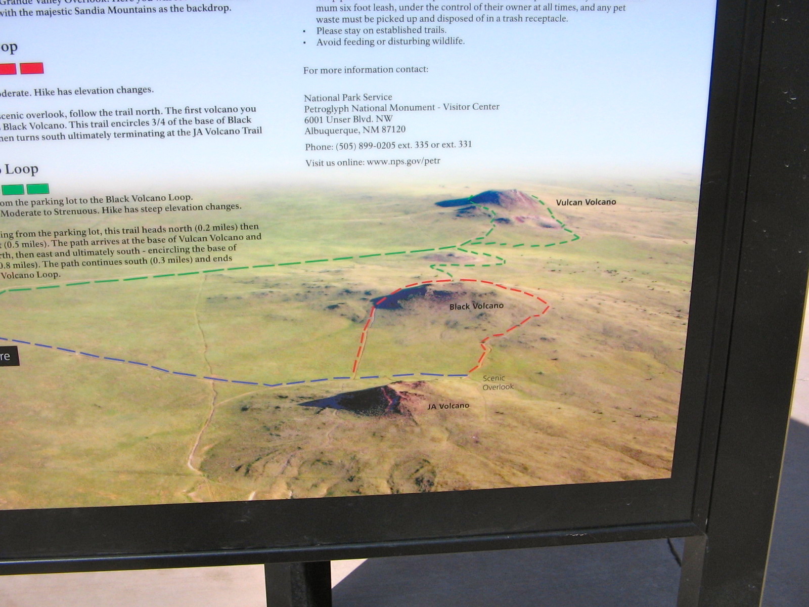
These formations are what’s left of the “fissure” volcanoes where the magma that rises up comes from cracks or fissures in the earth rather than through a central vertical vent. The volcanic activity here created the boulder-strewn escarpments that were used by American Indians and Spanish settlers as backgrounds for more than 20,000 petroglyphs.
View from path around 3 volcanoes looking east towards Albuquerque. The basalt escarpments are barely visible from here as the black cliffs in the middle of the photo.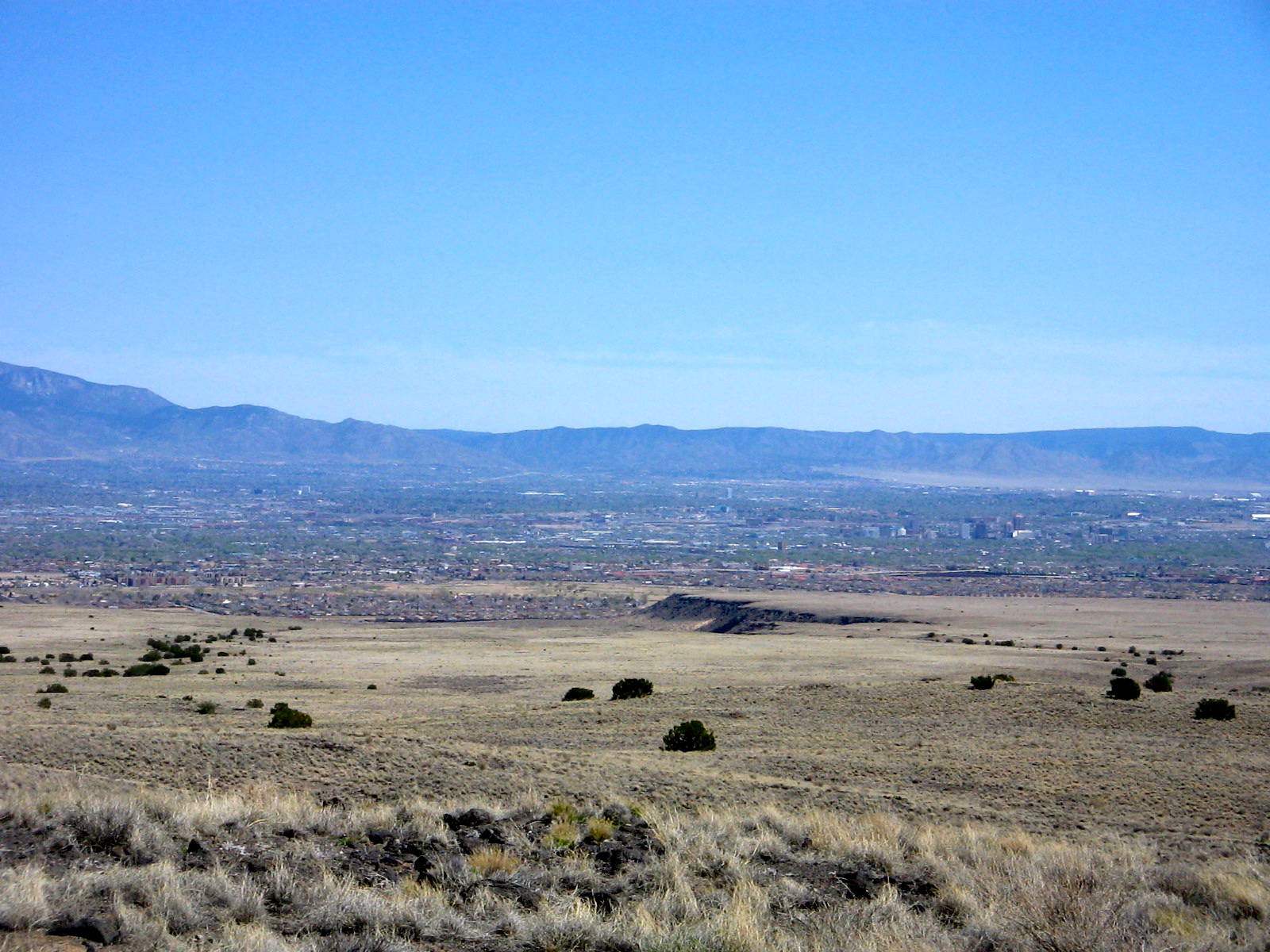
View of cinder cone remnants on side of Vulcan Volcano, the third one on the loop trail.
To see the petroglyphs and walk through the escarpments was another visit to the monument.
On the trail to the escarpments to view petroglyphs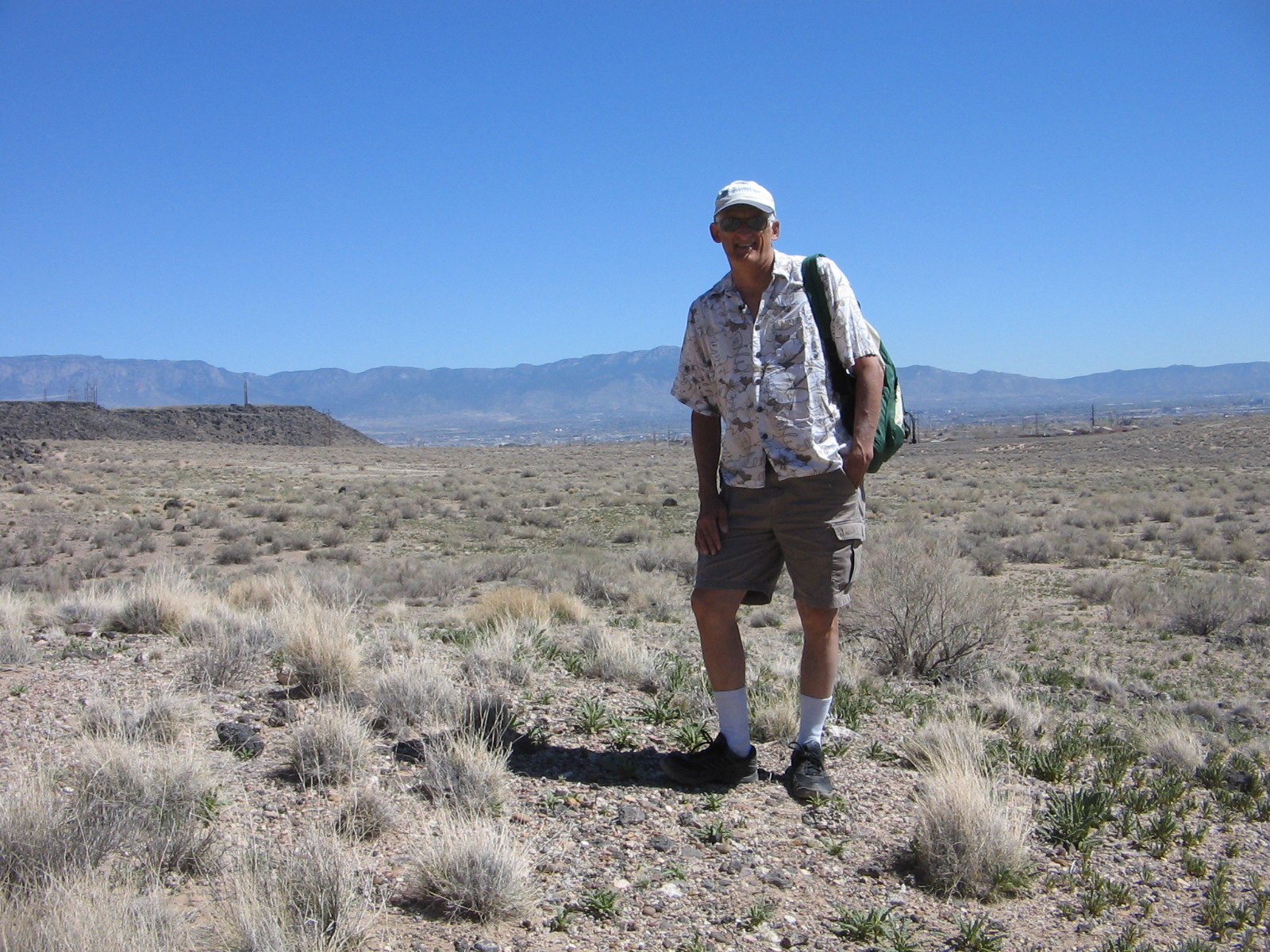
We had to look closely up the piles of boulders to see petroglyphs. I’m sure there were many that we overlooked.
Dancer?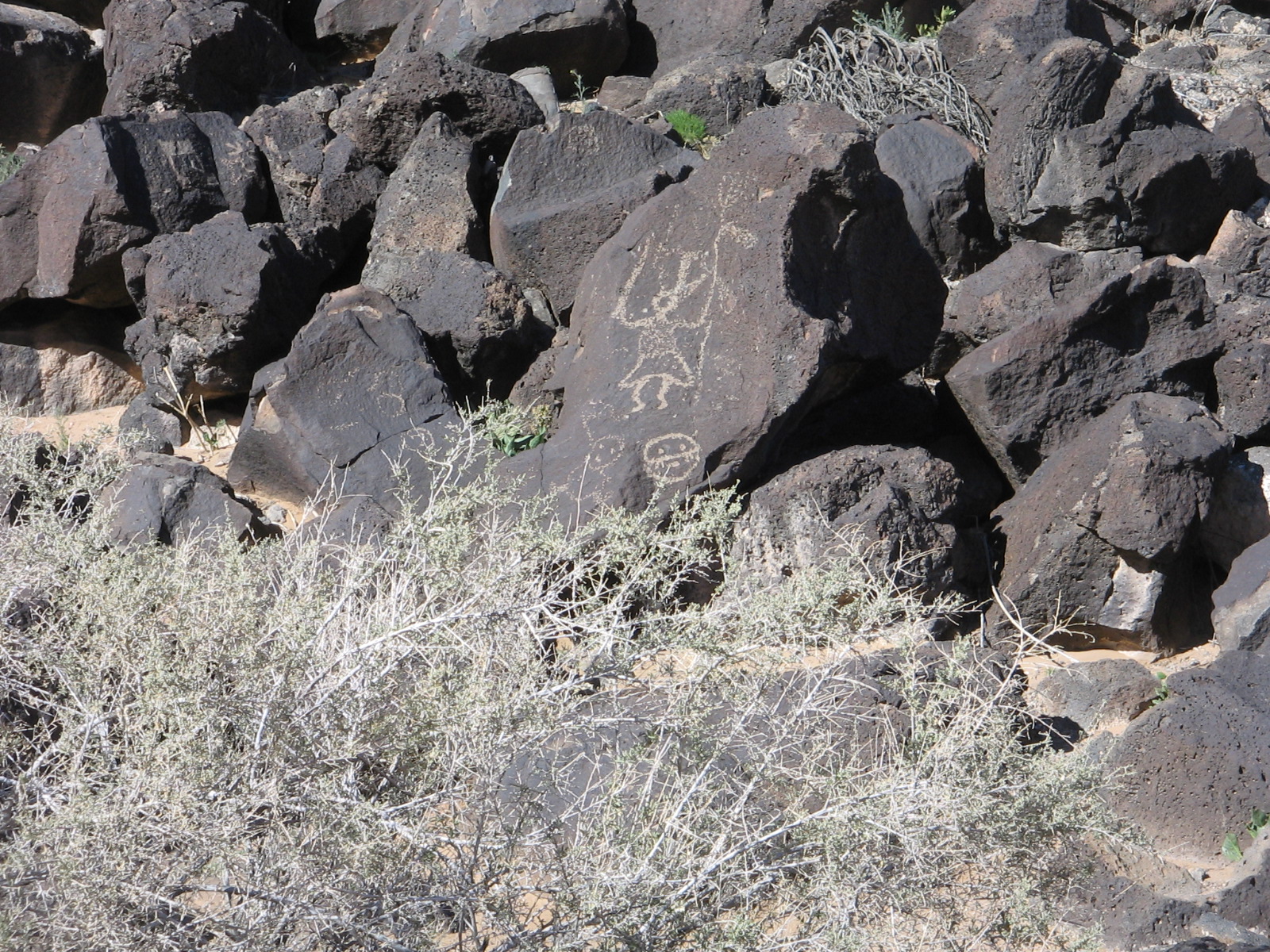
Coyote?
An example of some of the desert blooms. It doesn’t seem possible that anything could bloom in such dry soil.
Today’s adventure was to ride the Sandia Peak Tramway from its start at the northeastern edge of the city to the crest of the Sandia Mountains. On a couple of our other excursions around the foothills we had been able to catch glimpses of the tramline and support towers and once or twice a tiny tram car creeping its way up the incline. So it was fun today to actually be there and find out what it was all about.
A tram car going the opposite direction of our car.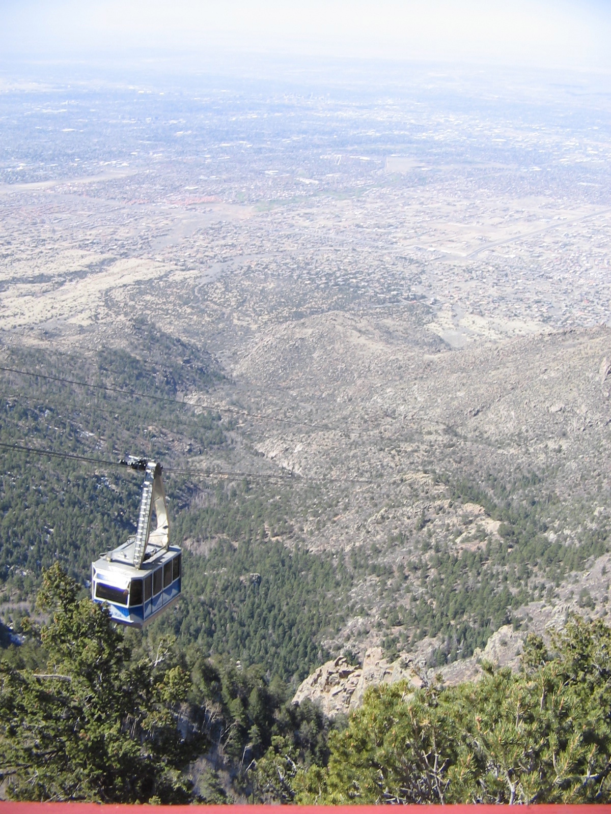
We had been warned to dress warmly as it can be quite cold and windy at the top. We were fortunate that the winds today were not strong, although I was glad to have my jacket and a couple of extra layers of clothes. 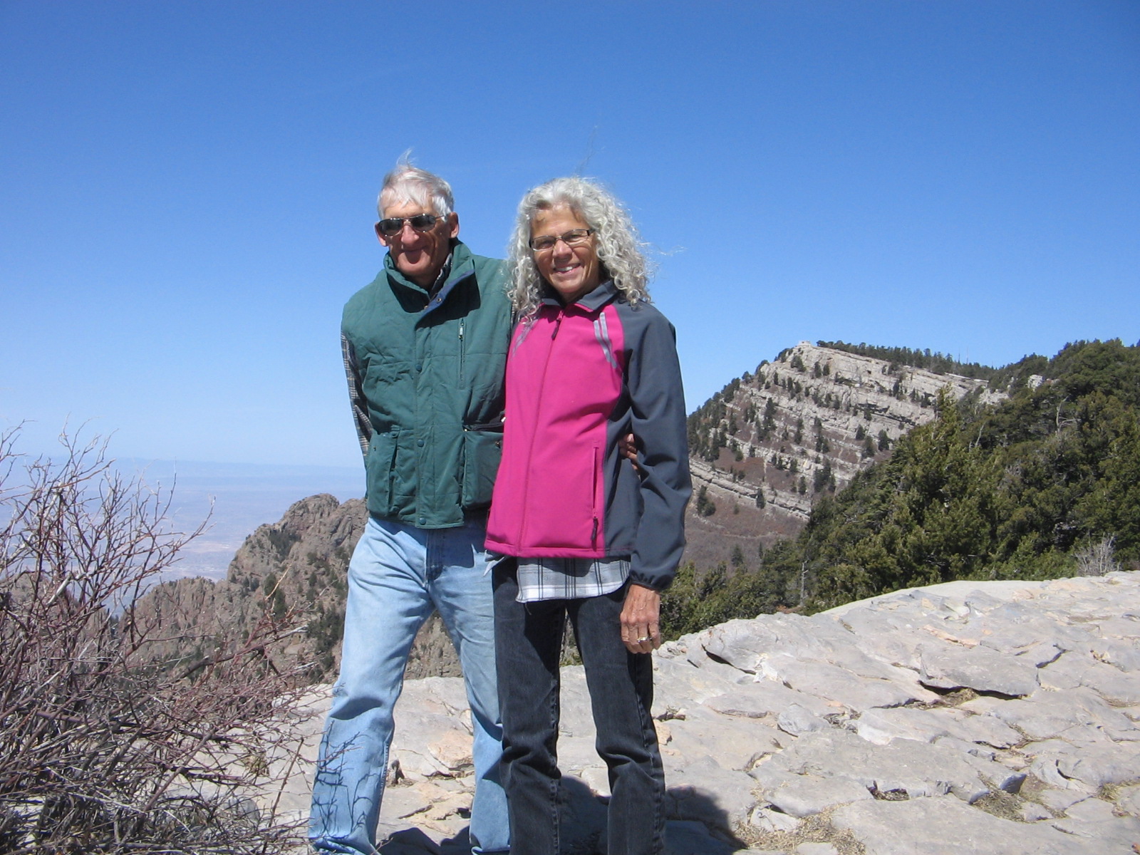
Once at the top, there are great views looking westward toward the city, as well as eastward on the other side of the crest where it’s possible to see Santa Fe and other mountains in the distance. Lee’s cousin, who has lived in Albuquerque for many years, acted as our tour guide, pointing out landmarks in the city and valley below.
The other side of the crest has a ski area, which only recently closed for the season. The leftover snow on the slopes and the chair lift for the ski area.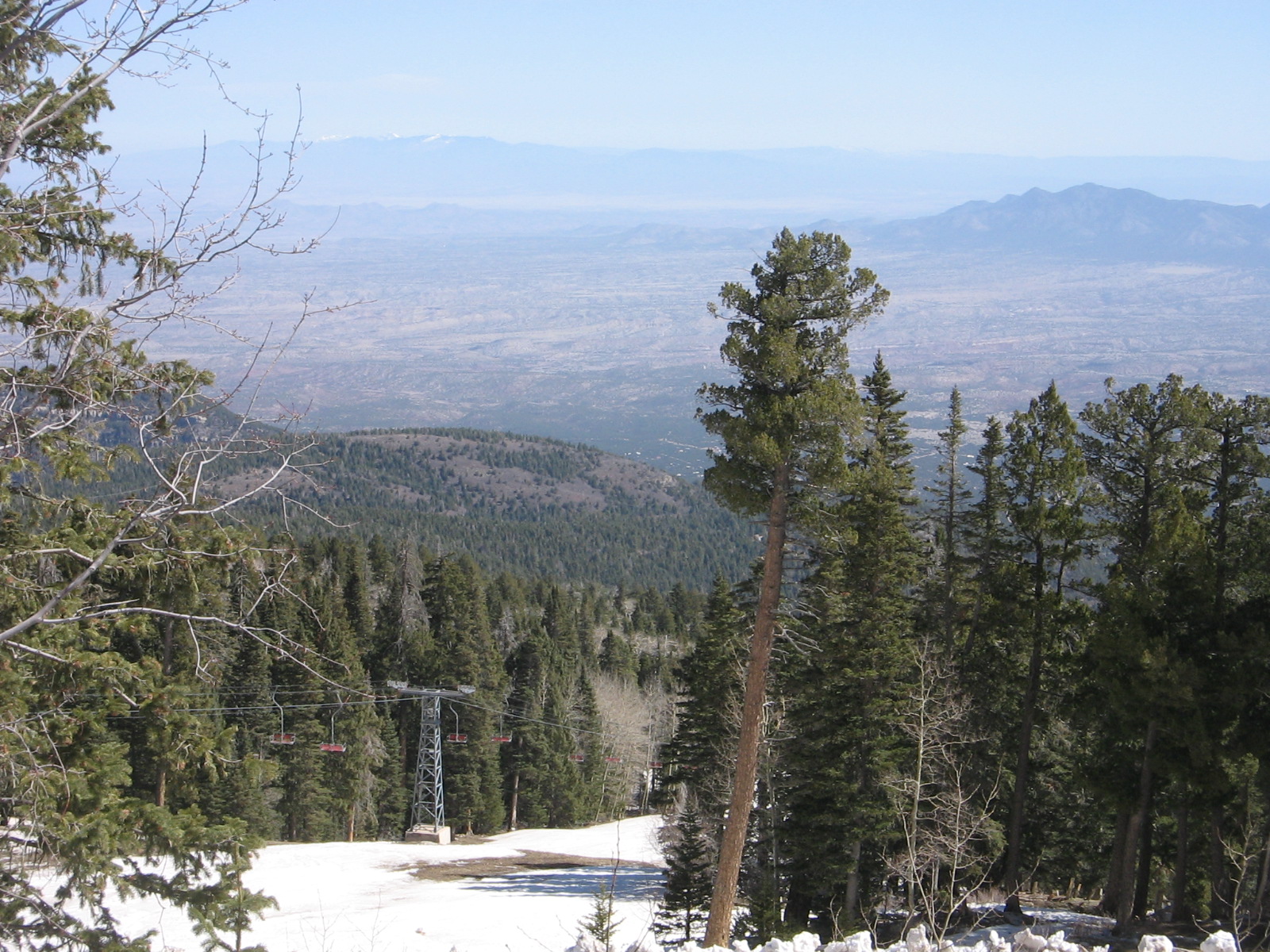
It’s nice to have a 10,000 foot view of the city but I was more than ready after an hour or so in the cool mountain air to ride back down the mountain and enjoy the desert warmth and sun for the rest of the day. I look forward to another week here as we continue to explore the area and soak up the sunshine.