Even with the expected glitches in the trucking business, our first load was a success. Mike, of course, is the expert Celadon driver and has many successful deliveries under his belt. But, for me, as his tag-a-long passenger, it was an exciting initiation into life “on the Big Slab” (an expression borrowed from a book I recently had the pleasure of reading–Long Haul by Finn Murphy.)
It’s certainly not an easy life and with just this first delivery I have a new appreciation for the countless drivers out there who are pulling loads of product every which way across and up and down US highways. In the case of this load it was Wrigley gum going from Mexico to an eventual destination somewhere in Canada. Celadon’s part was to pick it up in Laredo, Texas, and deliver it to a warehouse in Atlanta, Georgia.
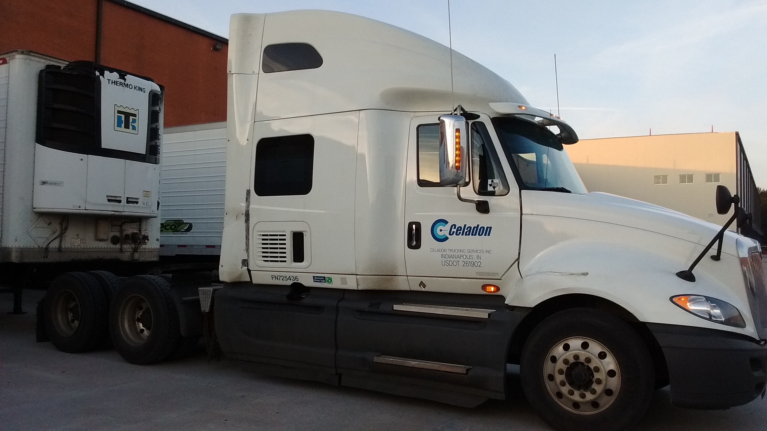
We bobtailed (which means driving just the truck with no attached trailer) the day after Christmas leaving from Mike’s house in Brackettville, Texas, at 5:00 am. Three hours later we were at the Celadon facility in Laredo where we hooked up to the refrigerated trailer. I never would have thought that chewing gum needed refrigeration!
Our first night out was sleeping (or trying to sleep) in the truck at a Pilot truck stop in Beaumont, Texas. To make our delivery time in Atlanta we had to leave there yesterday morning at 3:30 am.
We got delayed by a traffic backup yesterday and didn’t quite make it to a truck stop last night before Mike ran out of driving hours. Instead, we overnighted in a Walmart parking lot just before the Alabama/Georgia border. Say what you will about there being too many Walmarts, but I was more than grateful to have a 24-hour access to bathroom facilities and a place in the morning to buy something for breakfast. After all, we had to be on the road by 3:00am this morning.
The plan was to be in Atlanta (actually Kennesaw, GA) by 5:00am where we would drop the trailer and bobtail to Lebanon, TN, to pick up the next load. Mike did his part to make an on time delivery, but when he checked in at the warehouse office he was told that the shipper had left the “put away” number off of the paperwork. Since Mexico is in a later time zone it would be awhile before they could contact the shipper to get the number.
We had to park for a couple of hours on a side street and wait for a call that we were cleared for unloading. A “drop and hook” was the hoped for type of delivery, but when the call came that we could pull up to a loading dock, Mike was told that he would have to wait for the trailer to be unloaded before he could get back on the road. At some warehouses they let you hook up to an empty trailer and be on your way, but not this one. Besides the possibility of missing the next scheduled pickup, if too much time is wasted waiting at a site, then the driver doesn’t have enough on-duty hours left in the day to get as far down the road as he needs to get before he is required by law to shut down for the day. That eventuality is something called running down your 14-hour clock.
But Mike and I are hopeful that we will soon get the word that the trailer is empty and ready for us to haul up to Tennessee. Keeping on trucking!