Two days of our visit to Oregon were spent on a family camping trip in northern California near Mount Shasta, the towering mountain peak at the southern end of the Cascade Range. We camped at a resort on Lake Siskiyou, which is a reservoir formed by Box Canyon Dam on the Sacramento River.
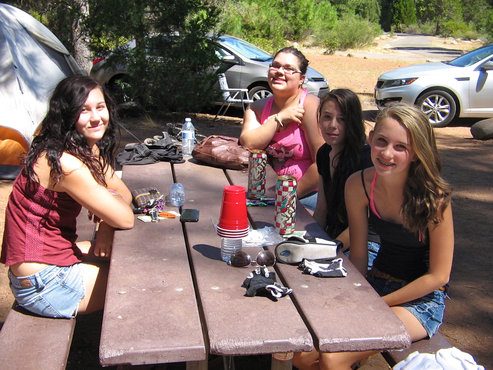
The resort had enough beach activities to entertain the 4 teenage girls we had with us. The surrounding forests and mountains kept the adults entertained with hiking and biking activities.
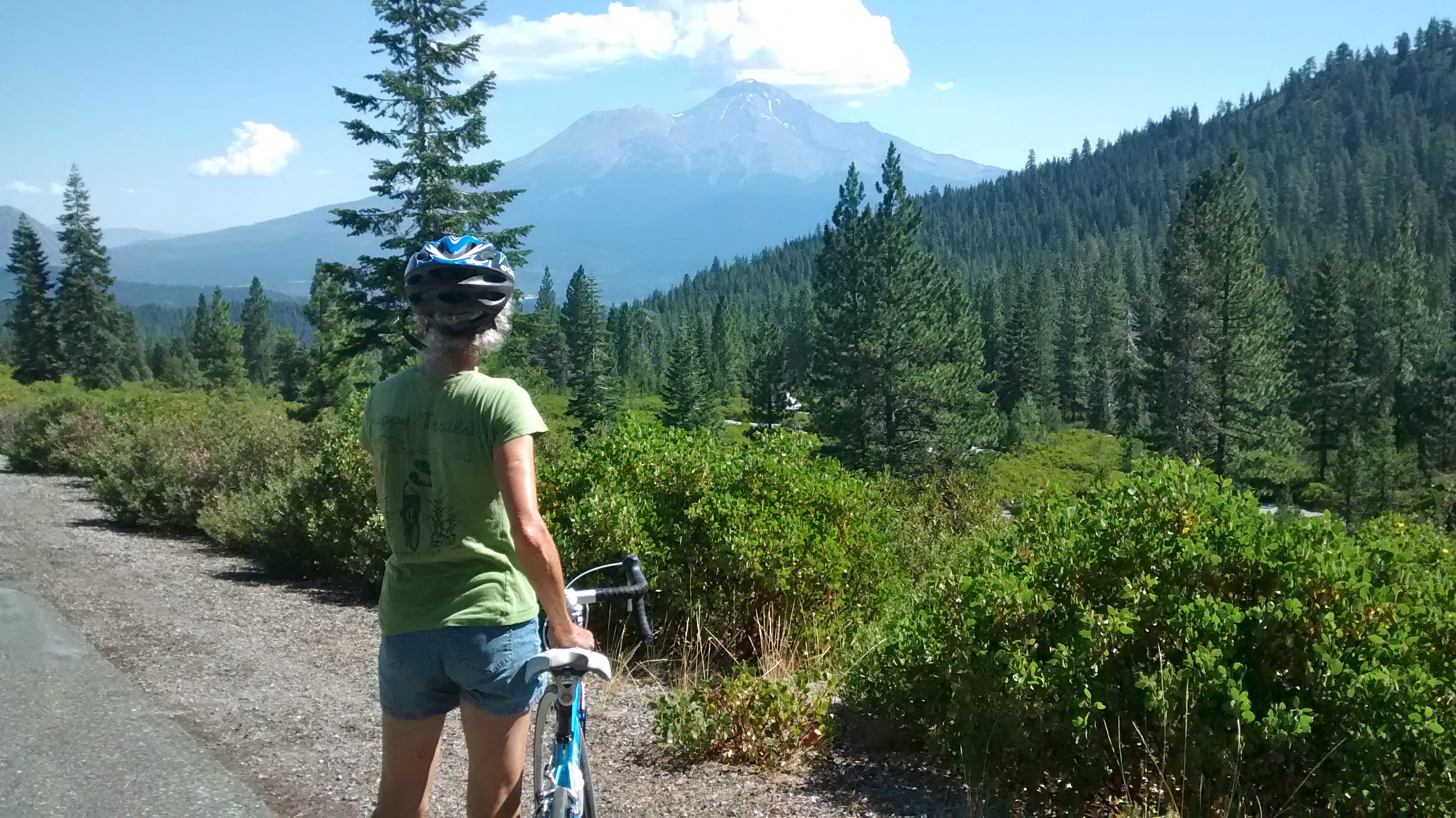
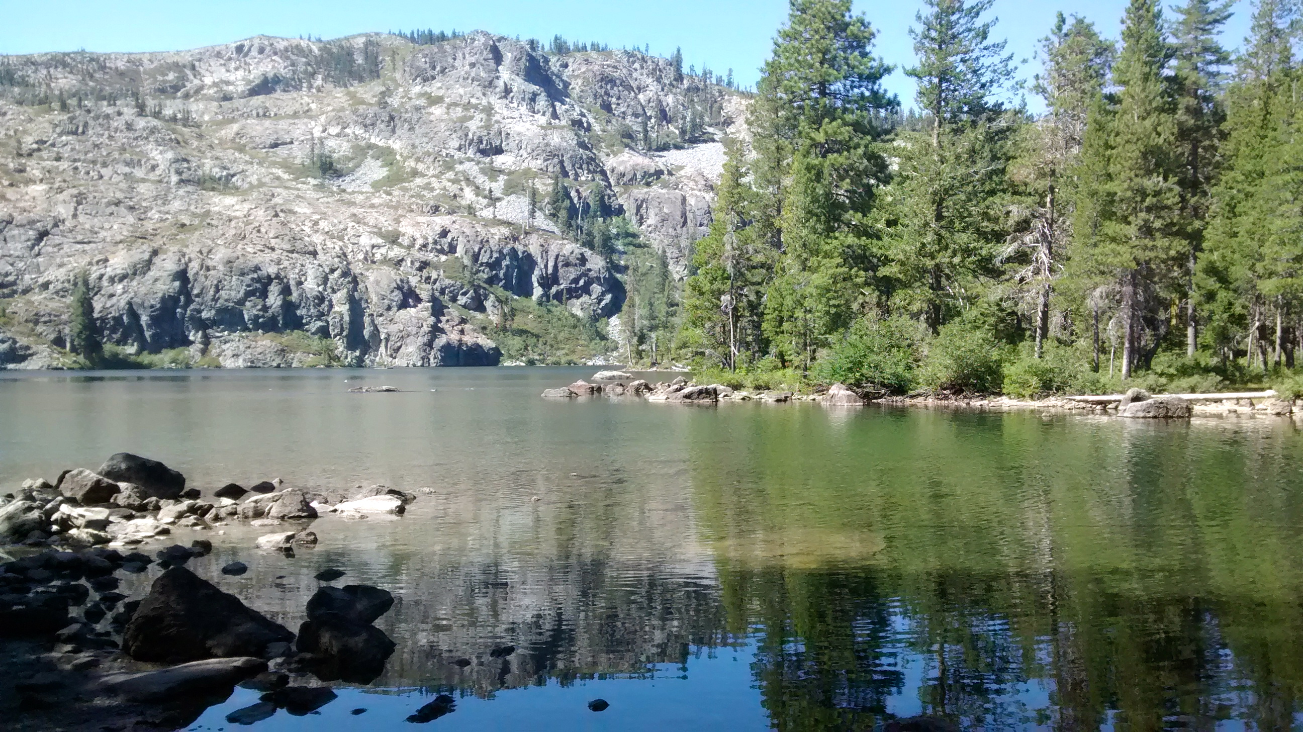
The first day was a strenuous bike ride on Castle Lake Road, a 7-mile straight up climb from the 3200-foot elevation of Lake Siskiyou to the 5200-foot elevation of Castle Lake. That’s a bit more hill climbing than I’m used to doing on a bike, but with encouragement from my super athlete daughter, I made it to the top. Castle Lake is a small alpine lake, quite scenic and a nice reward for the uphill pedal.
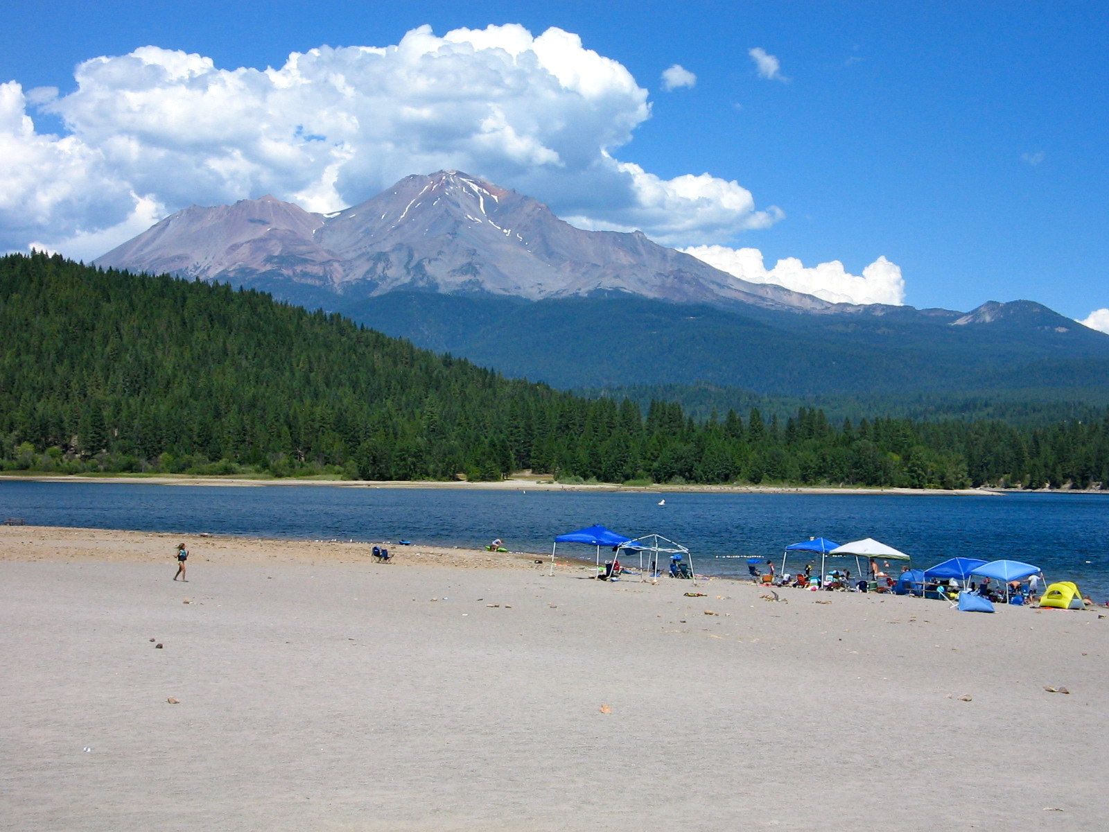
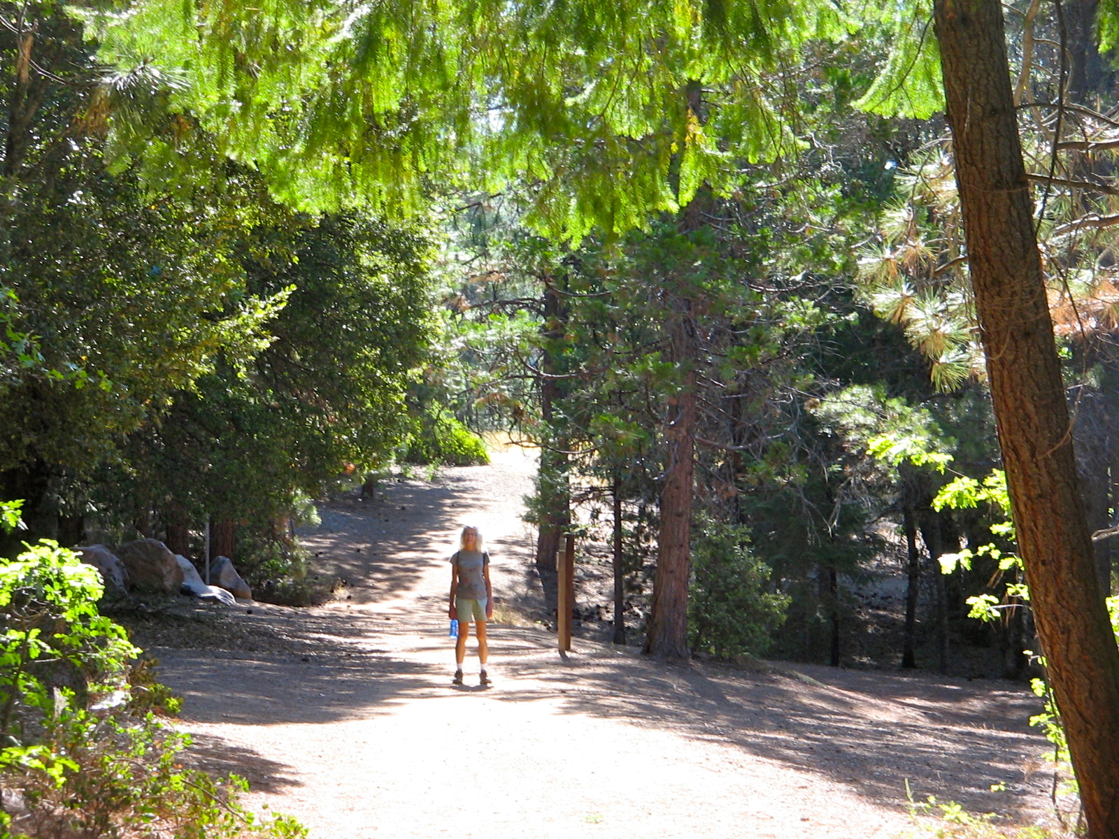
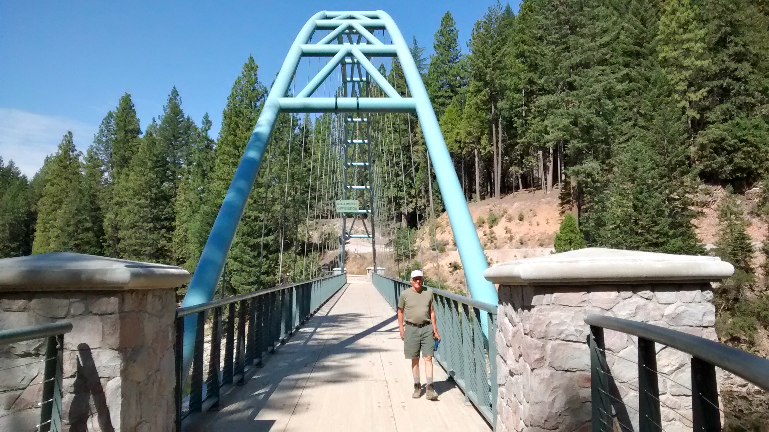
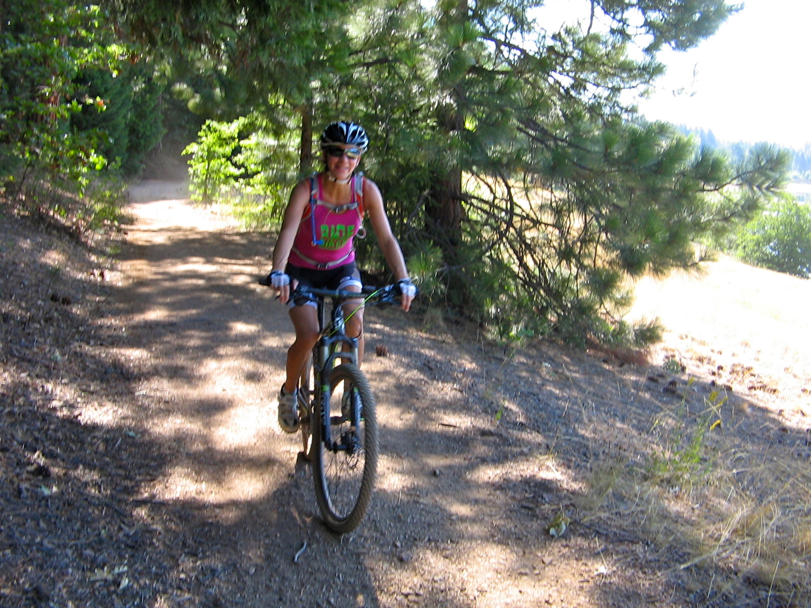
The second day we wanted to check out the 7.5-mile trail that goes all the way around Lake Siskiyou. Lee and I plodded along on foot and finished in time to be back at the car for lunch and checkout time at the campground. Meanwhile, Ruth zipped around twice on her mountain bike, meeting up with us on the trail to give a report of the sights ahead before heading back to camp and helping the girls finish the packing. Everyone made it safely back to Medford in the early afternoon, agreeing that Lake Siskiyou camping was a positive experience that we can look forward to doing again on a future visit to Oregon. Beach at Lake Siskiyou Resort.
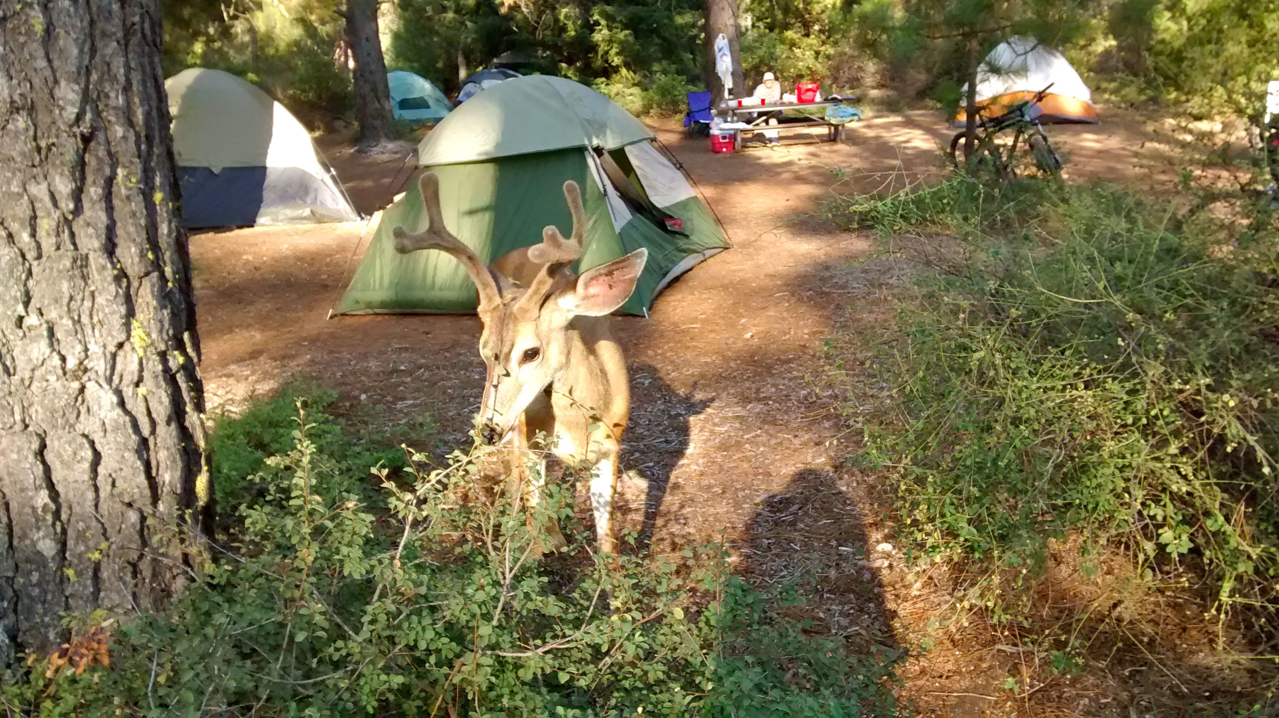
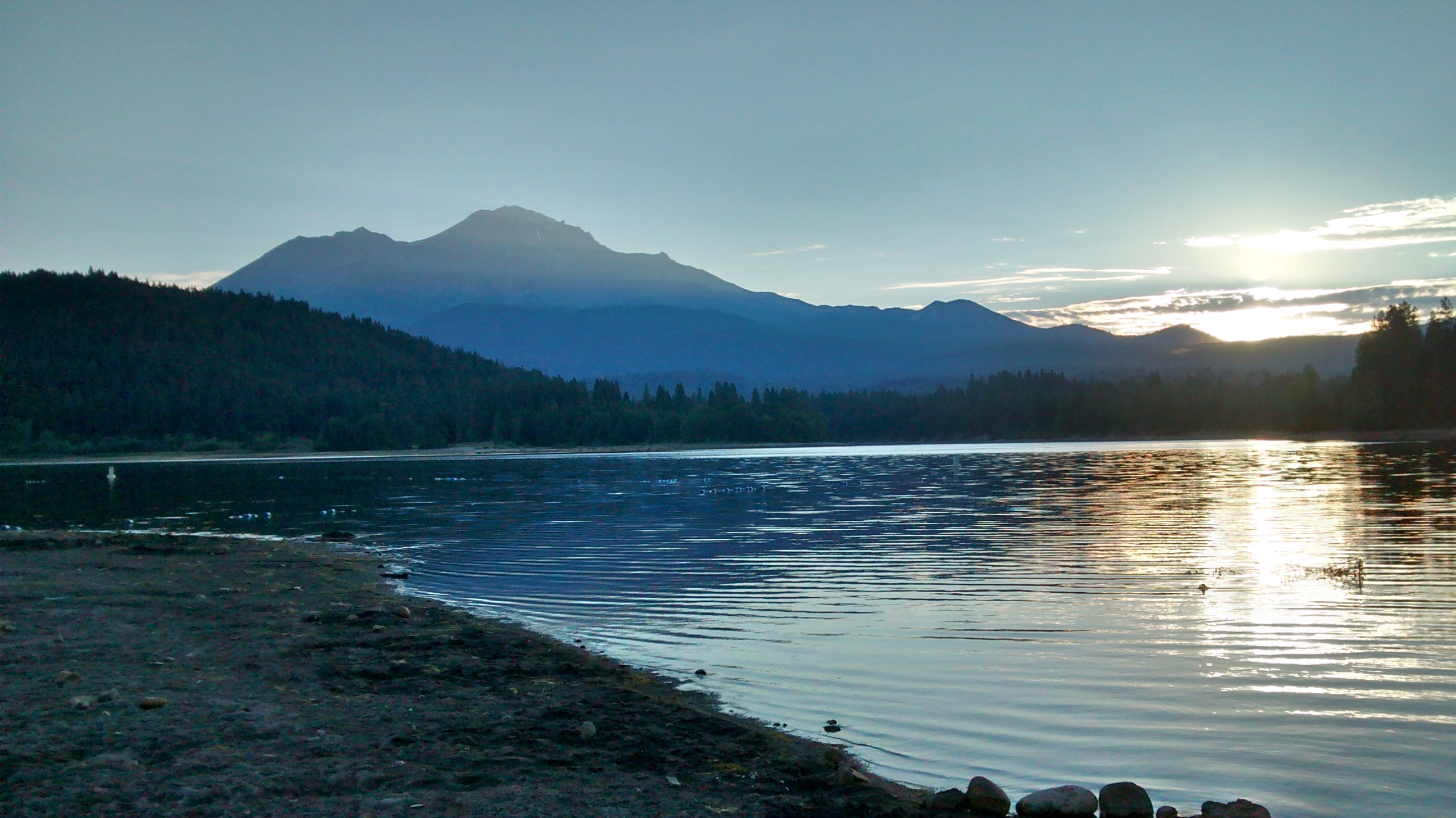
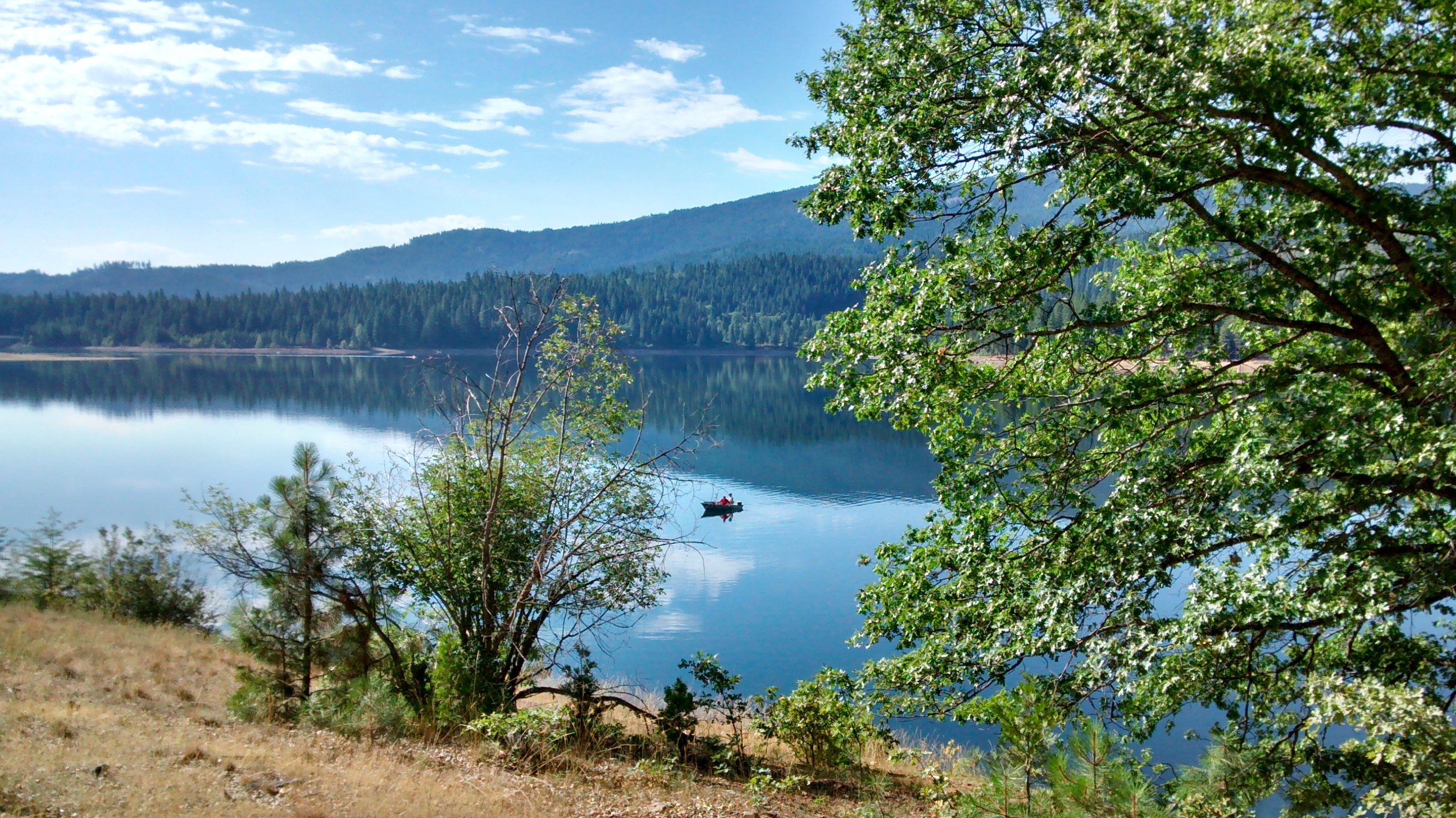
Friendly deer at Lake Siskiyou campground.Granddaughters and their friends enjoying camping trip.Sunrise at Lake Siskiyou beach.Looking back at Mount Shasta on road up to Castle Lake.Castle Lake.Walking the Lake Siskiyou Trail.Pedestrian bridge crossing Wagon Creek on Lake Siskiyou Trail.Mountain biking the Lake Siskiyou Trail.View across lake from Lake Siskiyou Trail.
For the past 11 years, this last week in July would have found me riding my bicycle somewhere on one of the many RAGBRAI (Register’s Annual Bike Ride Across Iowa) routes that specialize in providing tours of the beautiful Iowa countryside. Either before or after that annual vacation, we would also schedule a week in the summer when we could visit family in Oregon and enjoy the beauties of that state. This year, after we decided not to do RAGBRAI, we scheduled our trip to Oregon for this week and drove there on a route that went through parts of the West that we hadn’t yet seen.
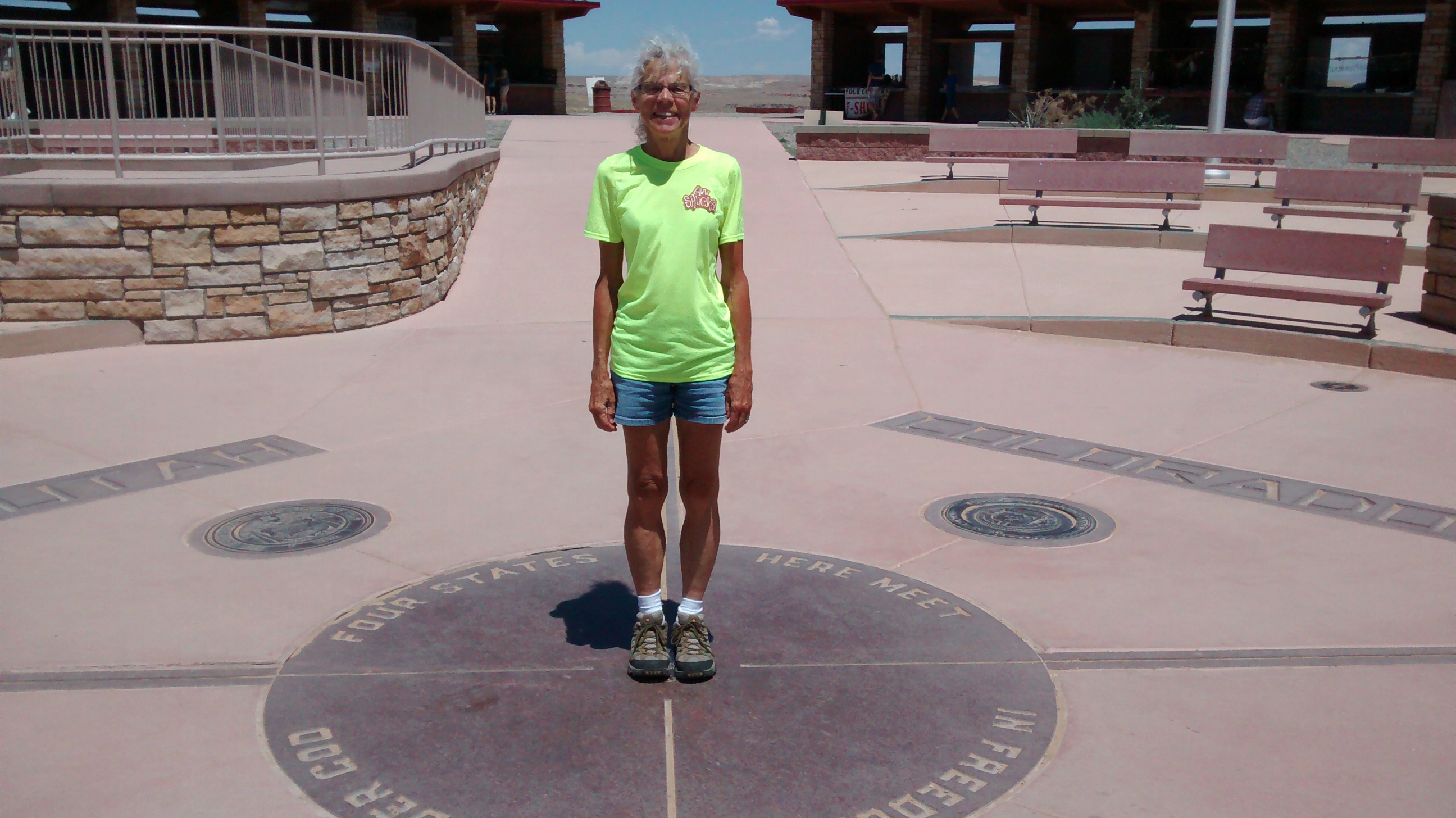
On the first day was a stop at the Four Corners Monument. It wasn’t a planned stop and it required a slight detour, as well as a $10 fee, and a half-hour wait in line. When I saw how long the line was, I was about ready to give up the idea, but Lee convinced me that as long as we were there we should get the famous photo where you can stand in one spot and be in 4 different states at the same time–the only such place in the US.
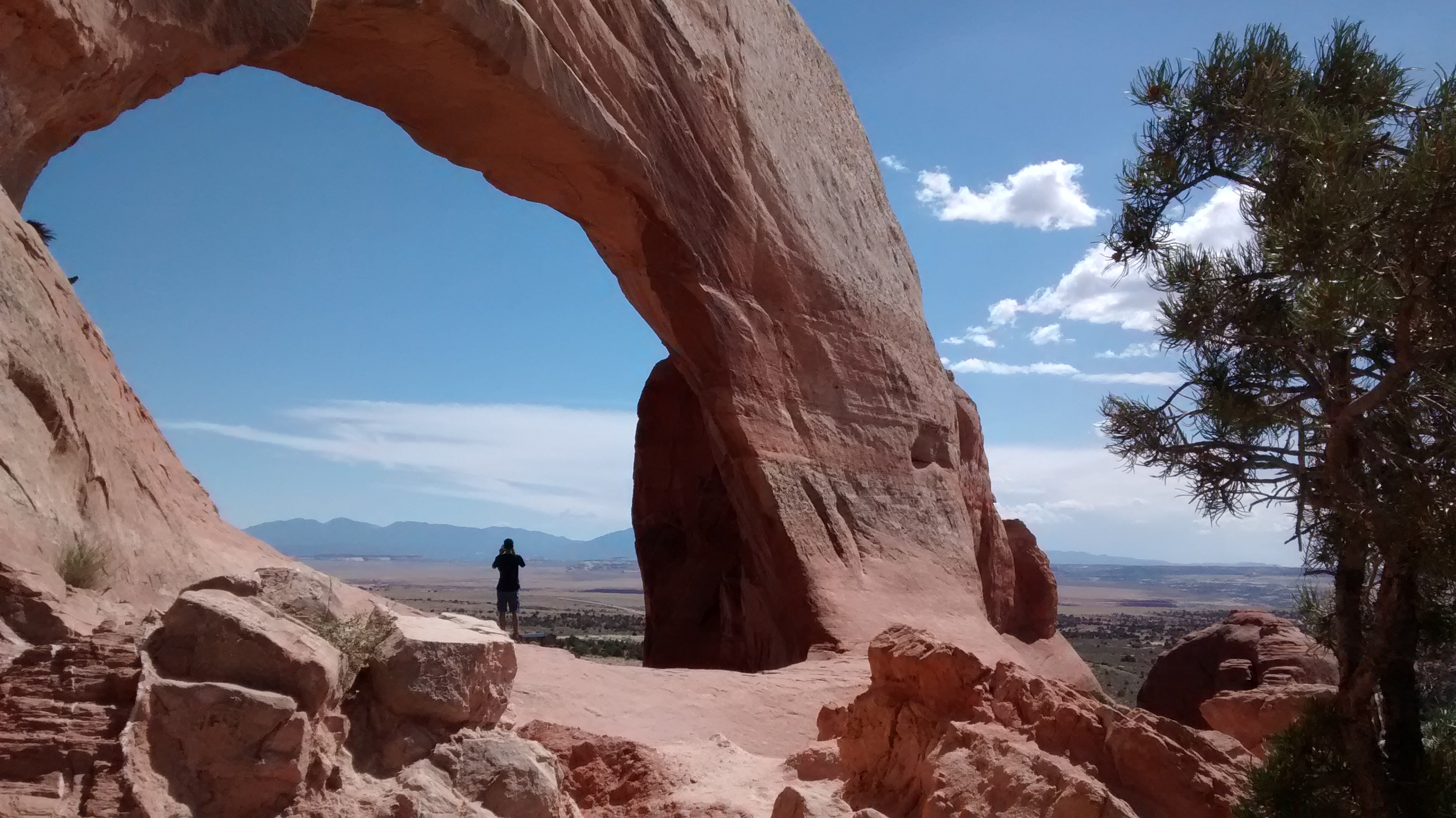
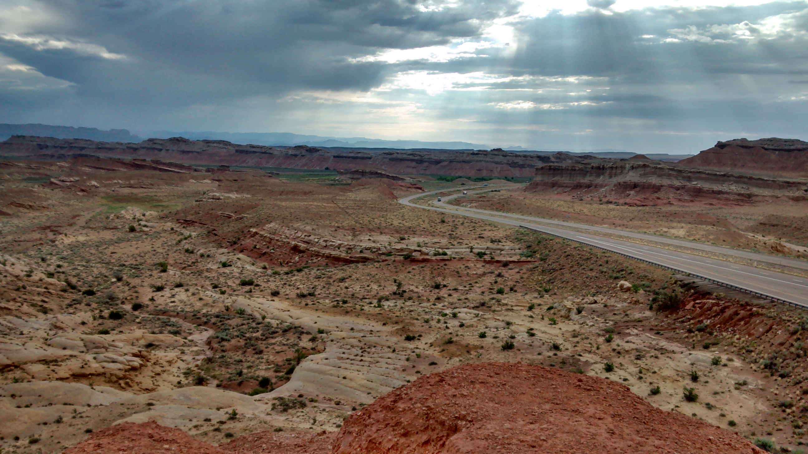
The rest of the drive on that first day was a new thrill as we drove through the beautiful canyonlands of southeastern Utah. We told ourselves that we needed to plan a hiking and camping trip in this area in the near future.
Wilson Arch in southeastern Utah.Traveling Utah highways.
Our goal for the first day was the campground at Green River State Park, further north in Utah. I don’t know if this year’s temperatures were warmer than normal, but it was close to 100 that afternoon and didn’t cool down very much that night. I’d become used to the drop in overnight temperatures in the deserts of New Mexico so this was like being back in the East or Midwest with the hot summer nights of Virginia or Iowa. I thoroughly enjoyed our stay at this quiet campground along the river.
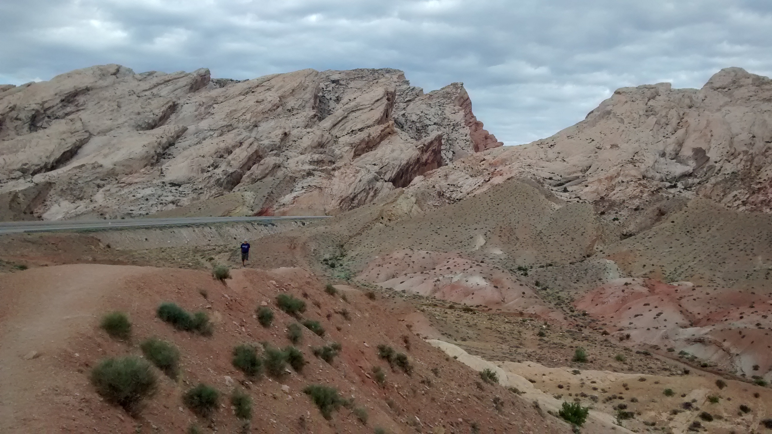
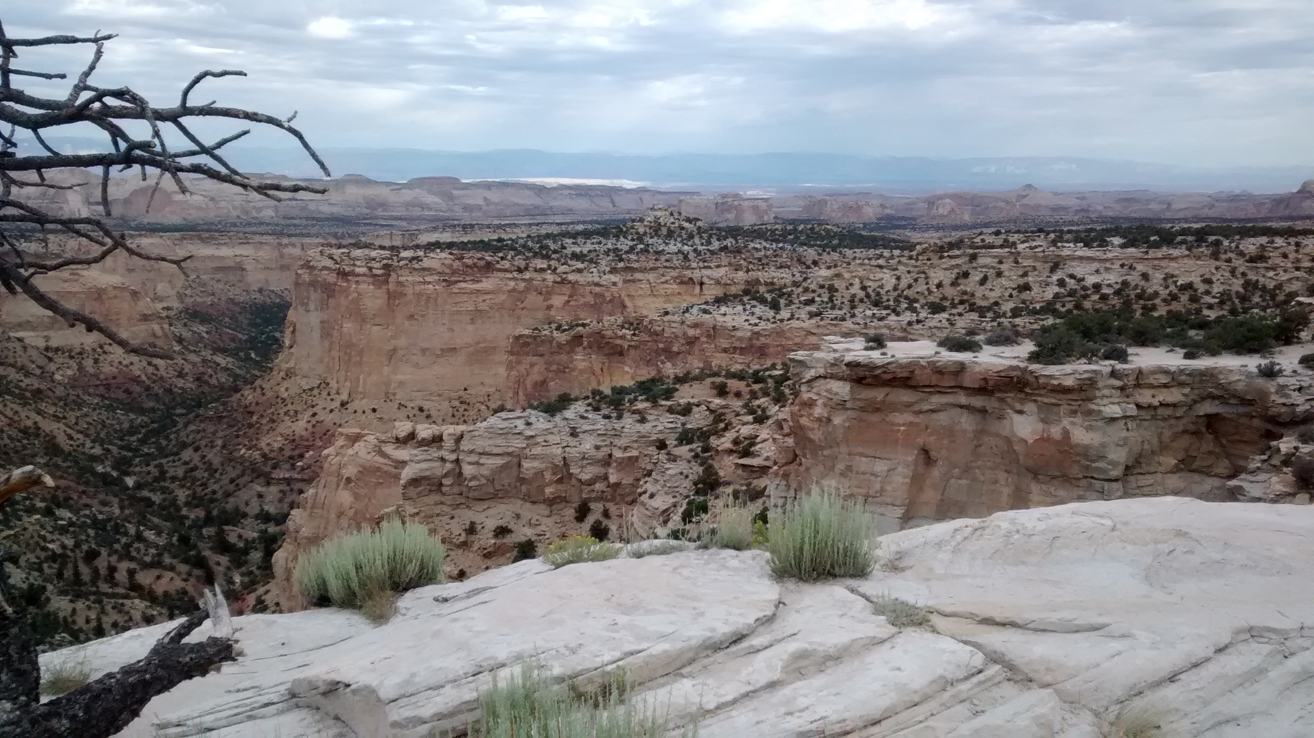
San Rafael Reef, a large anticline west of Green River, Utah.Black Dragon Canyon scenic overlook on drive through Utah.
The second day of our trip found us driving through Nevada on the stretch of US 50 that has been labeled “The Loneliest Road in America.” It may not be as lonely now as it was
when it earned that name over 20 years ago, but I can say that it is one long stretch of mountains and desert largely unspoiled by the modern-day highway scourges of fast-food establishments, convenience stores and tourist “attractions” that clutter most all of the other interstates we drive on. We had planned an overnight stay at Austin, Nevada, and, since we weren’t planning to camp, we knew we were taking a chance that we would find any suitable motels there, given the lack of services in most of the places we had passed through all that day.
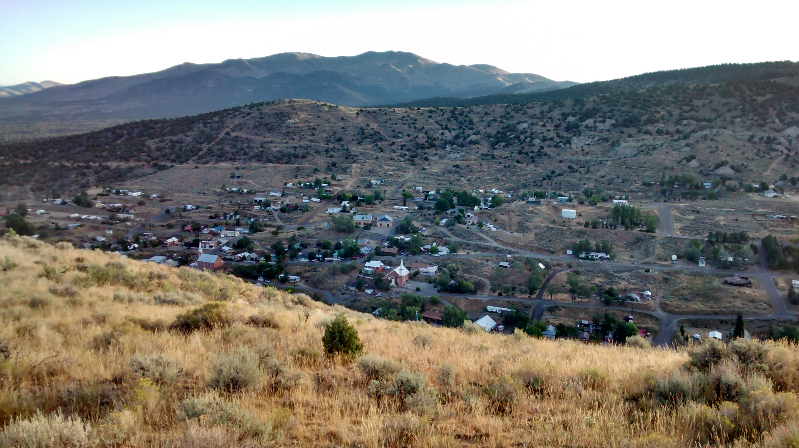
Austin was settled in the late 1800’s and quickly grew to be the second-largest city in Nevada, due to a “silver rush” that ultimately proved to be not as profitable as hoped. Today it still has a couple of gas stations and restaurants and 3 motels. Otherwise, one could almost label it a ghost town. We were glad to see the motels and, while certainly not modern or fancy, the night’s accomodations were quite adequate to provide us a restful sleep.
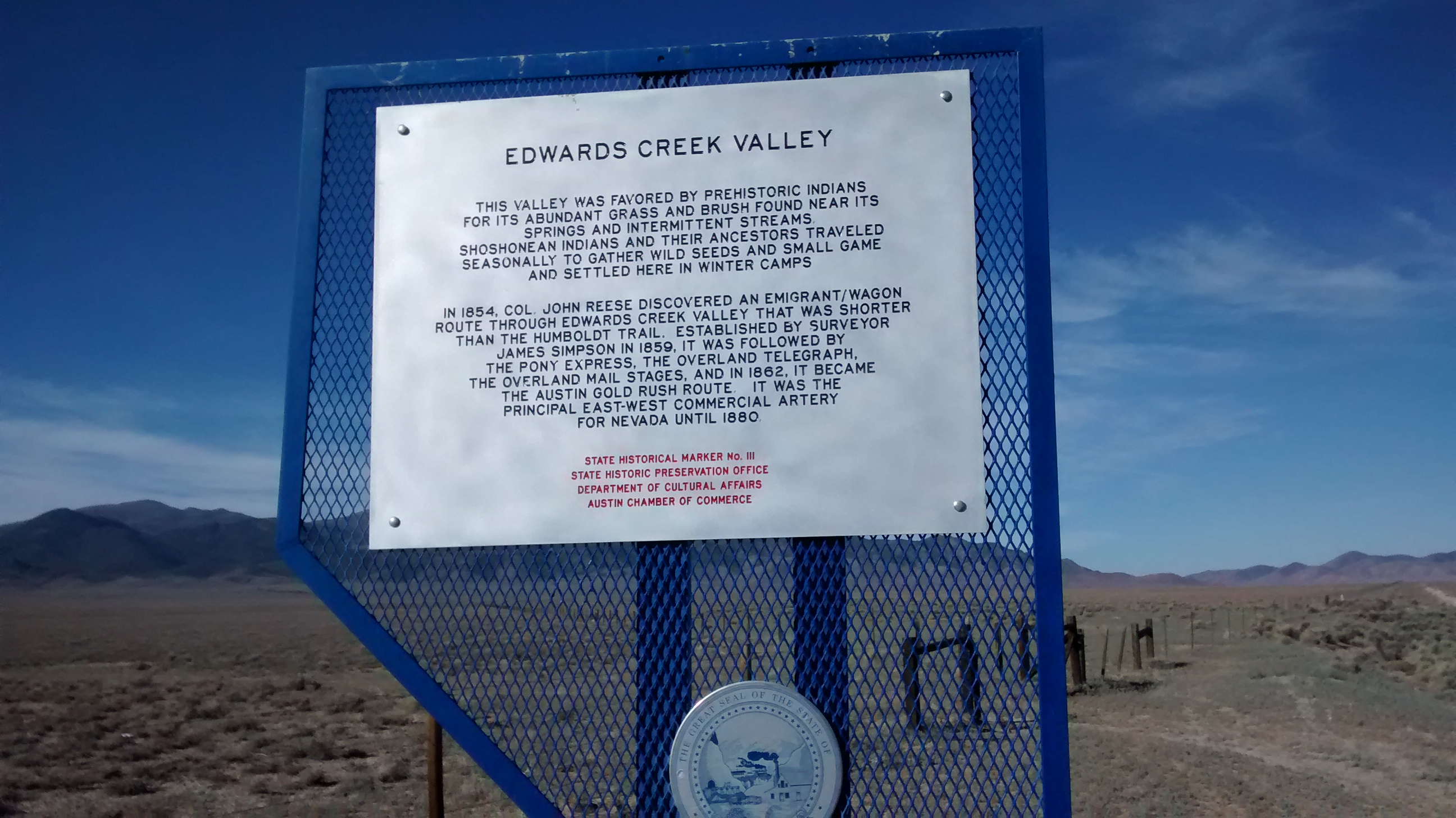
Early morning walk on hillside overlooking Austin, Nevada.One of many historical markers on the “loneliest road.”
The only other time I can remember driving through Nevada was on the western side of the state where it is mostly flat, barren stretches of desert. The miles of highway driving east to west across the middle of Nevada were very different from what I had expected. There are multiple mountain ranges running north and south in this part of the state. US 50 leads you up one mountain range, through a summit or pass at the top, and then back down to the desert where you head towards the next mountain range across the desert in the distance to repeat the same pattern. That seemed to take hours and hours of driving both before and after our overnight stay in Austin. But they were enjoyable hours and we had many opportunities to break the monotony by stopping at scenic overlooks or historical markers to learn more about this fascinating area.
The last leg of our 3-day drive to Oregon was familiar once we reached Fallon, Nevada, and then headed north through Reno, Nevada, on into California and then the final destination of Medford, Oregon. Now we are ready to relax and enjoy time with family here before we have to drive all those miles again to get back to New Mexico.