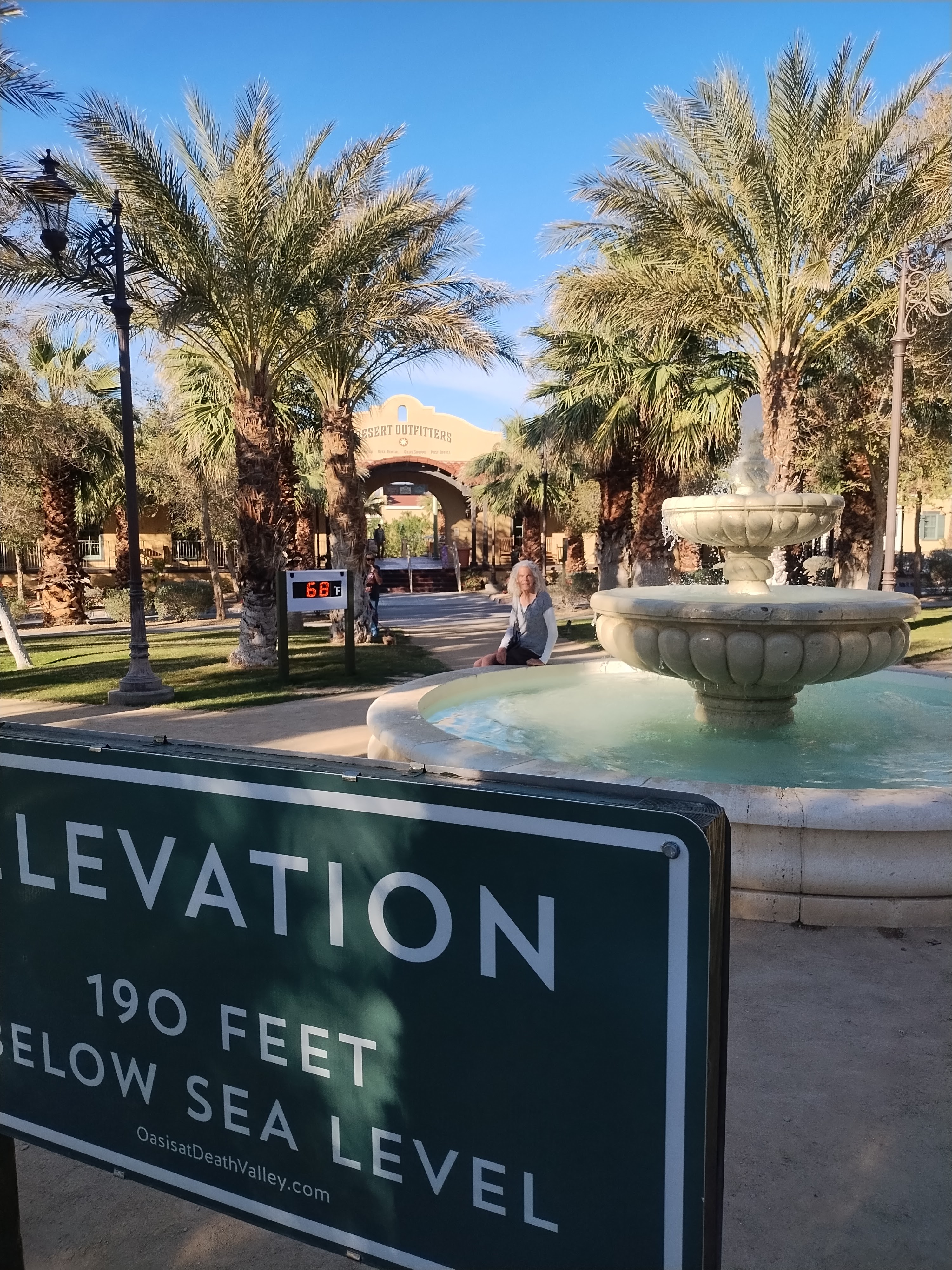
A place that is called Death Valley doesn’t sound like a desirable destination. I suppose in the days when American pioneers were settling western frontiers, it would have been a dreadful place to explore. But for me, living in today’s age of The Machine, it’s a place that refreshes and rejuvenates my spirit.
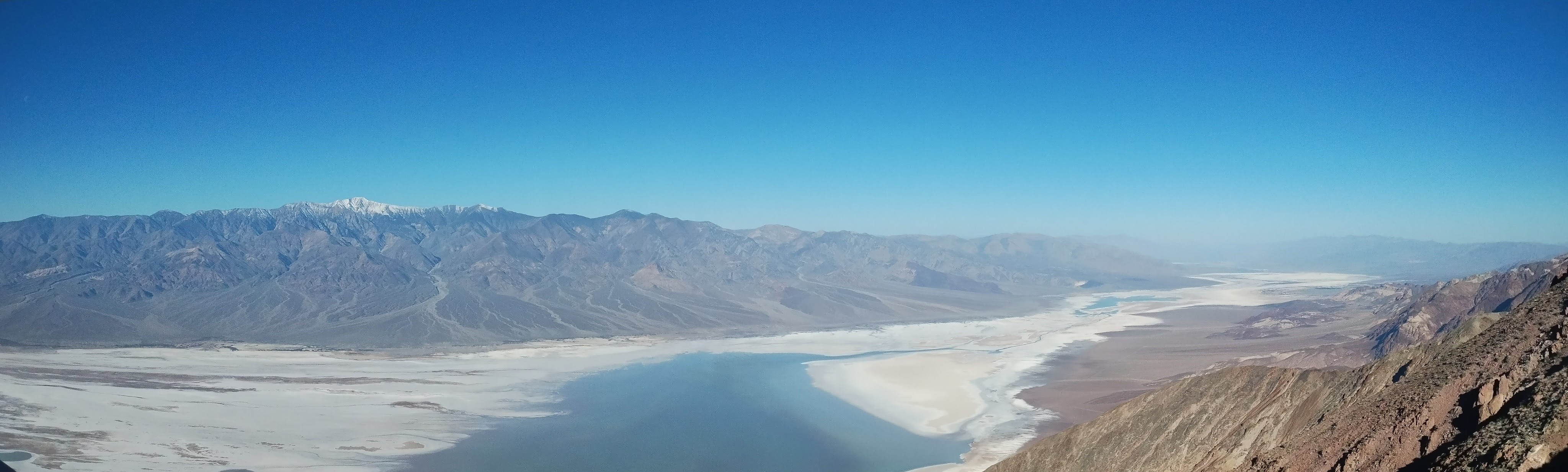
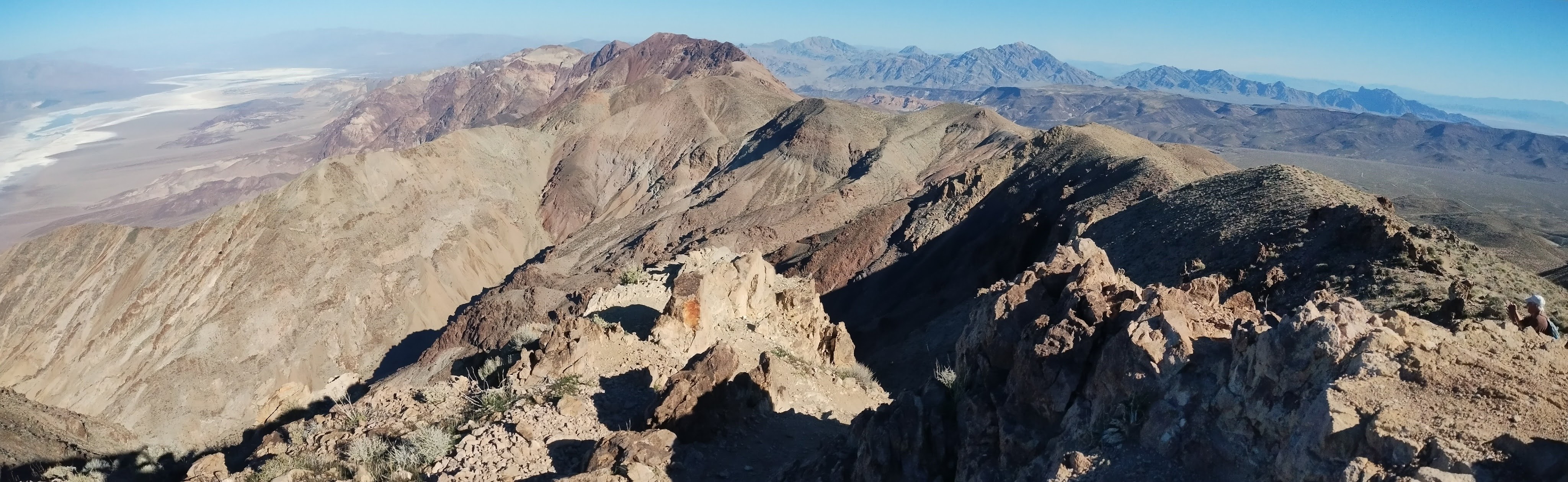
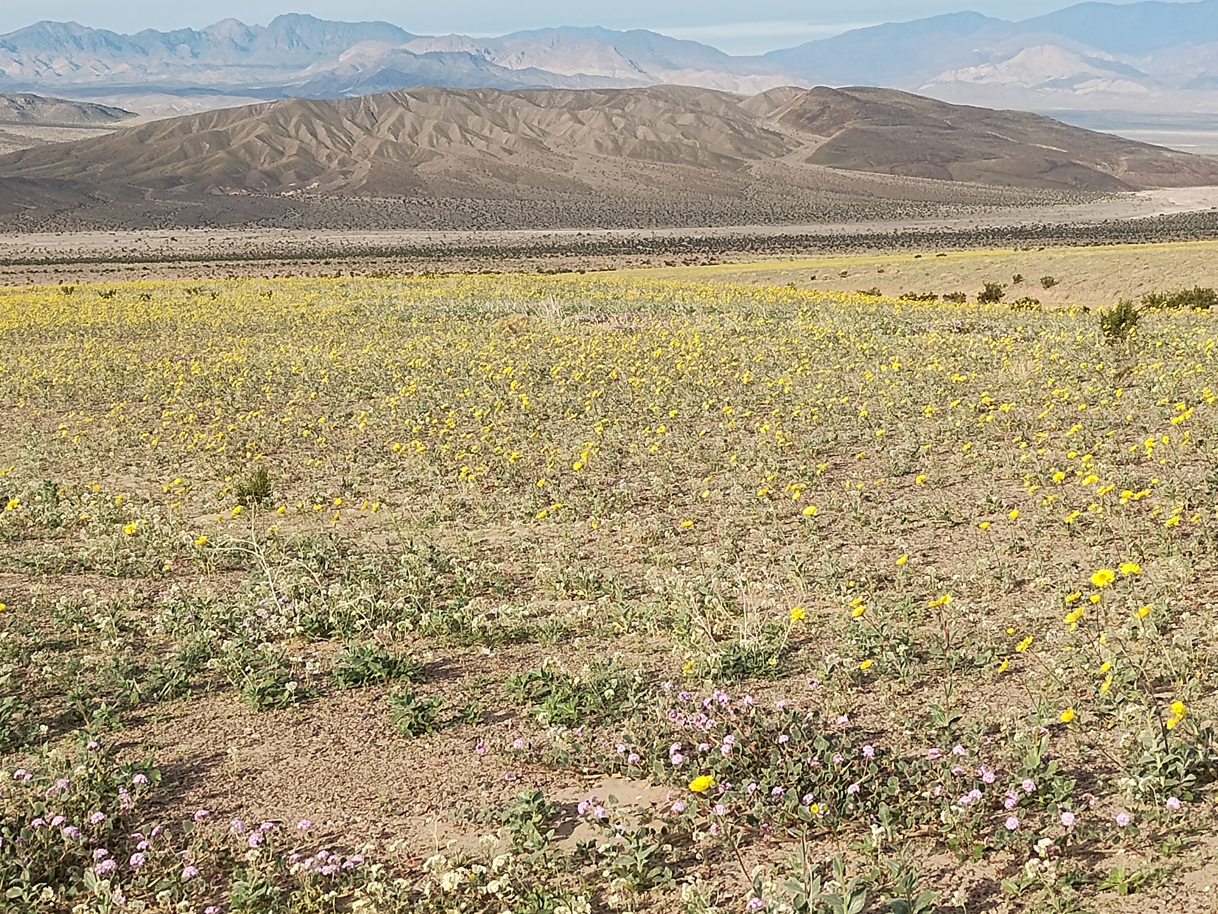
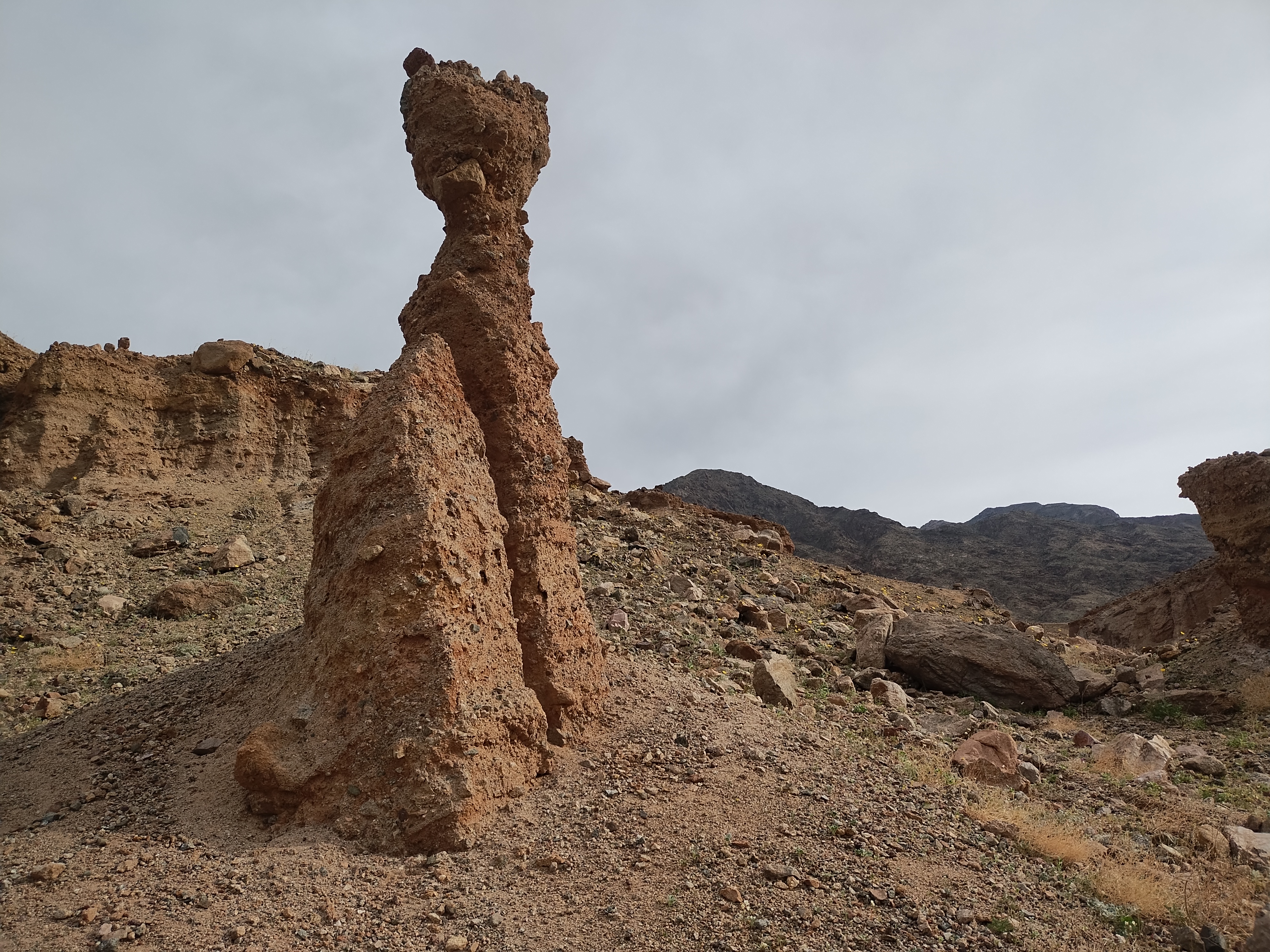
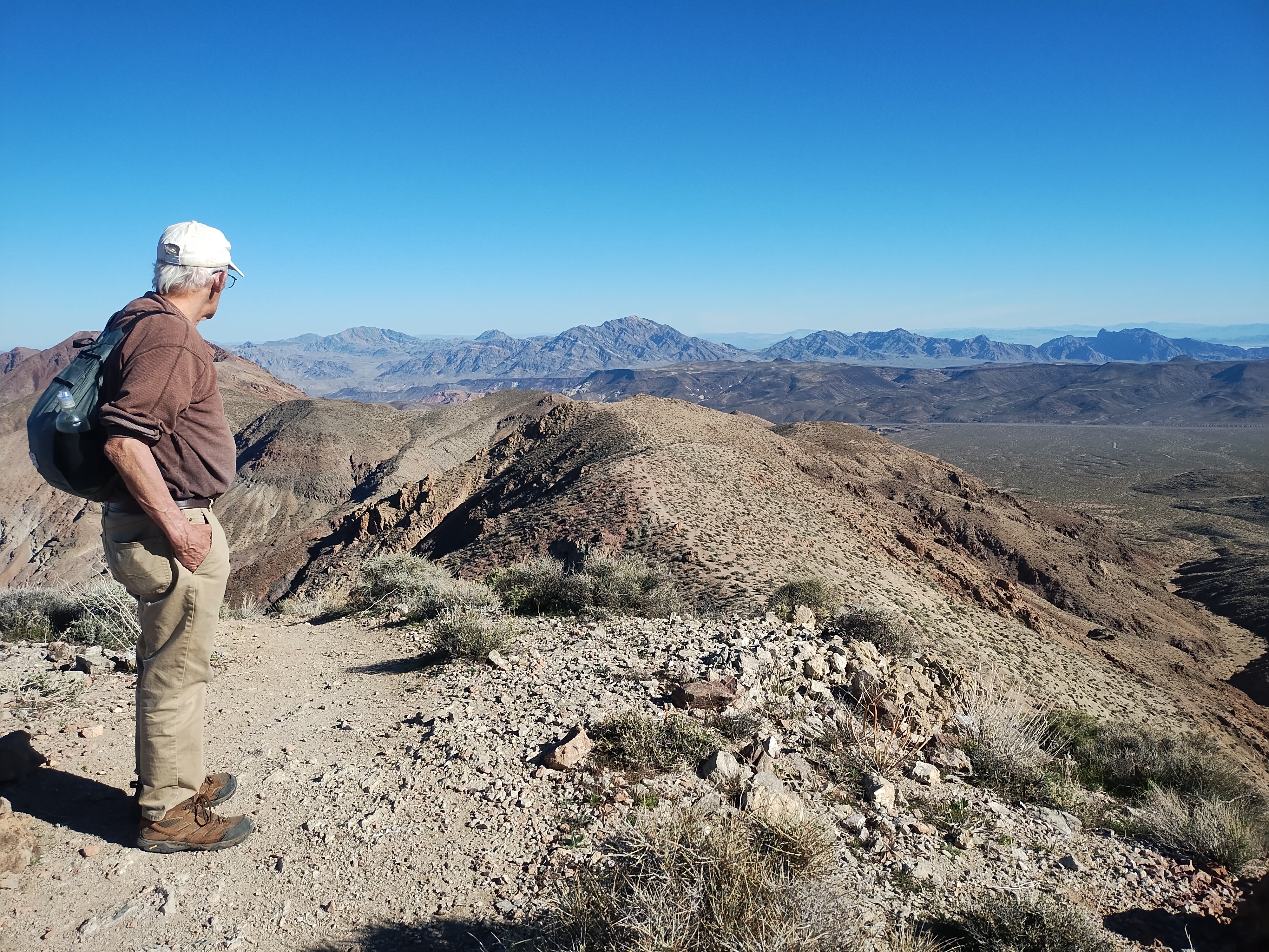
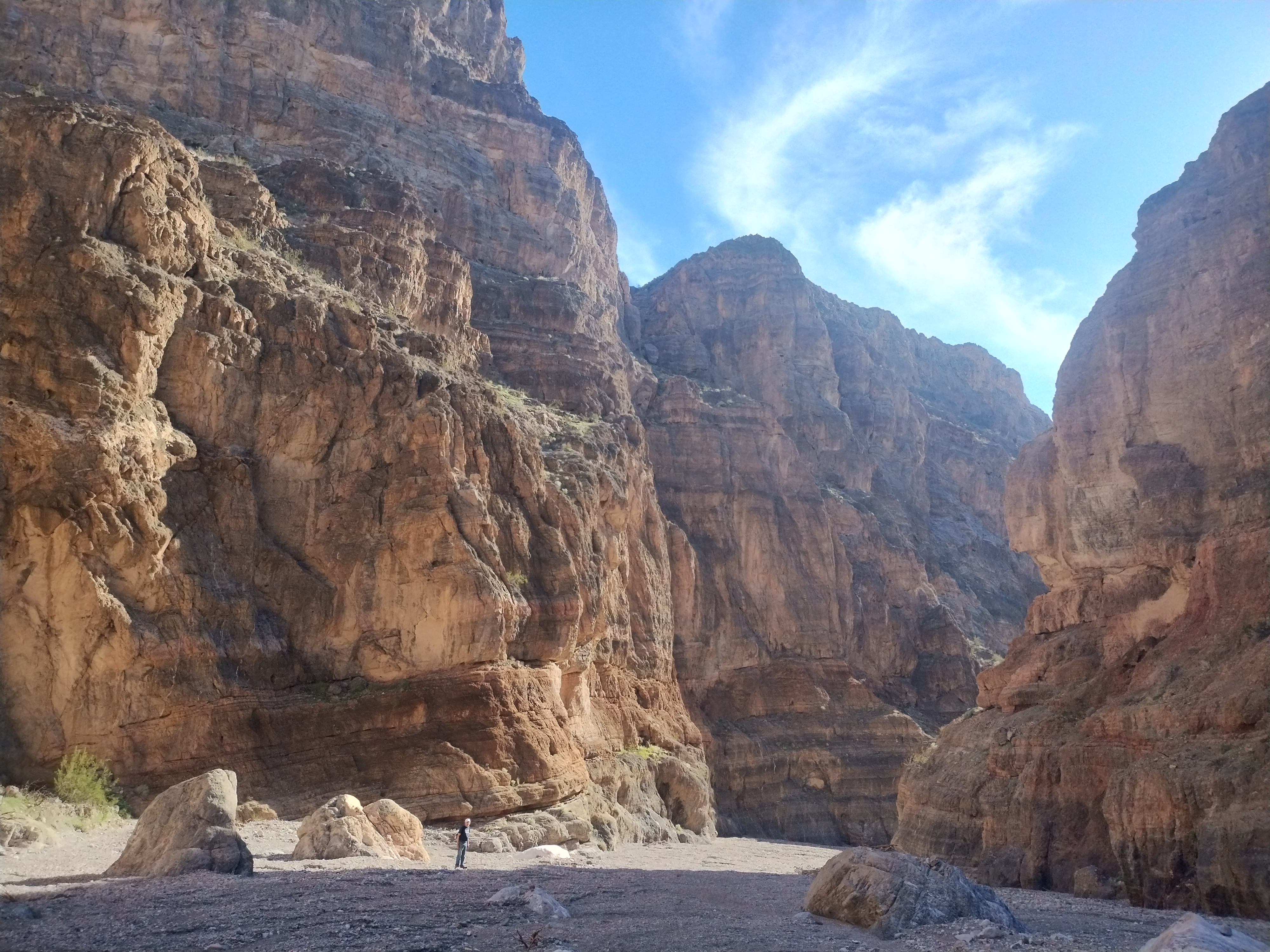
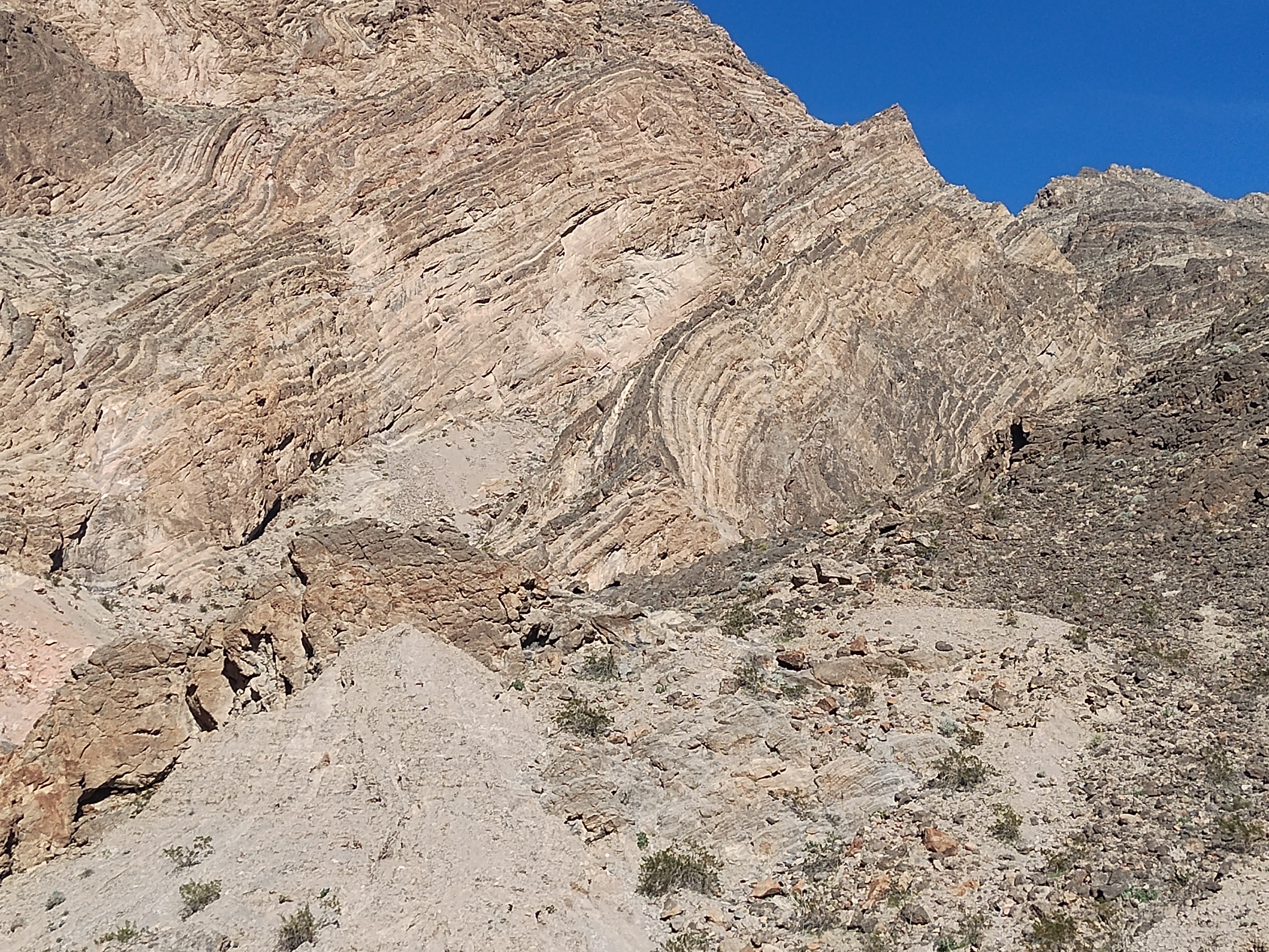
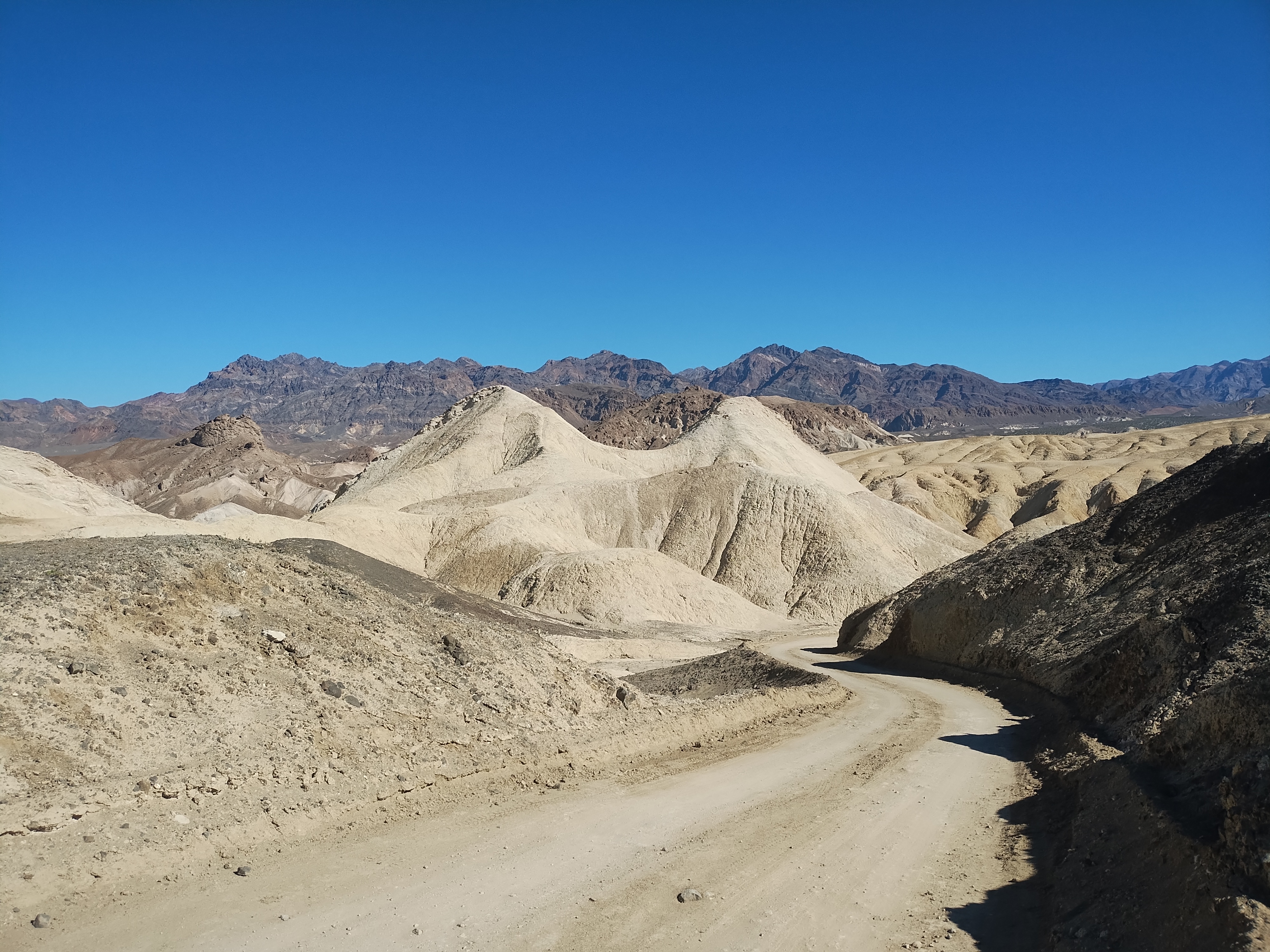
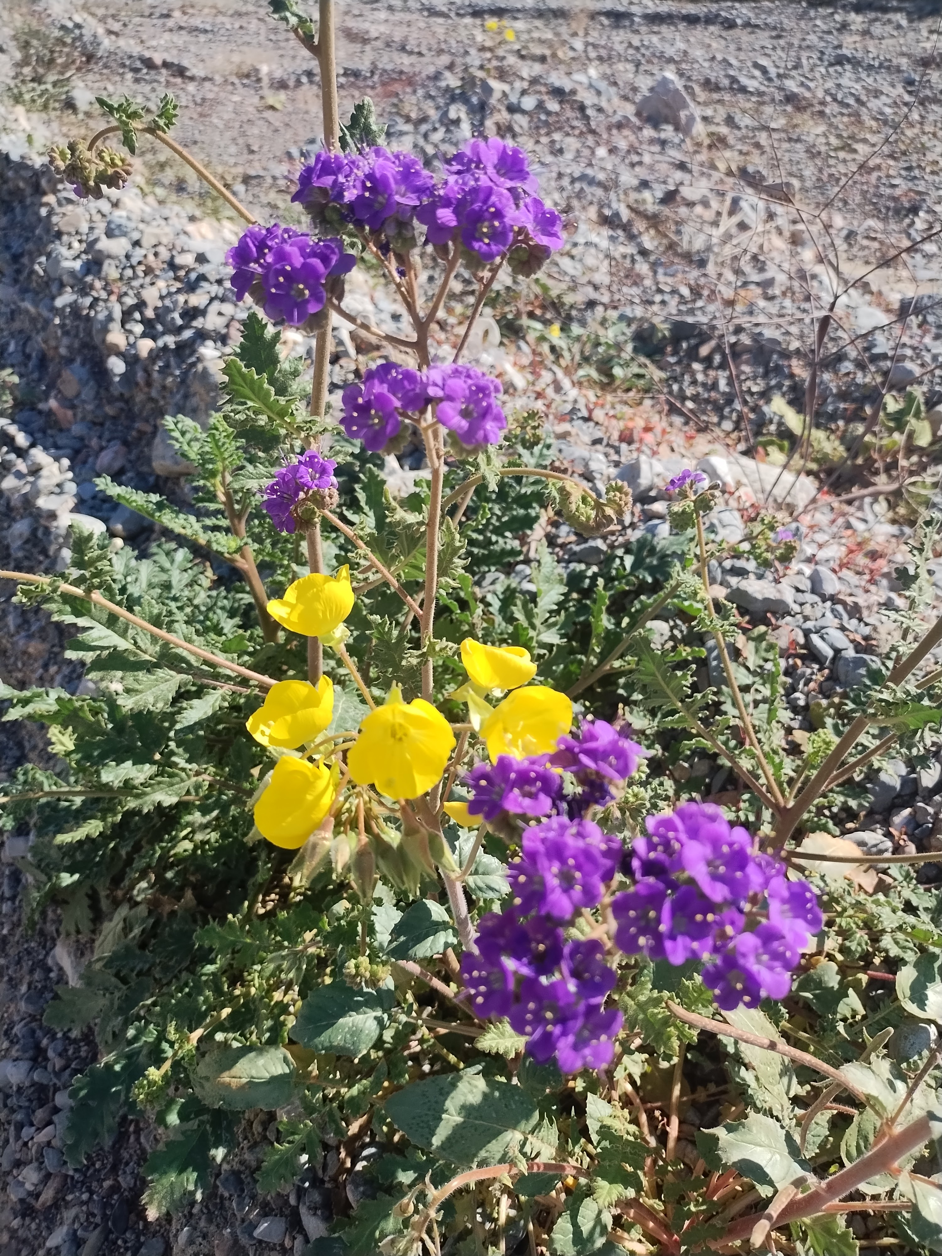
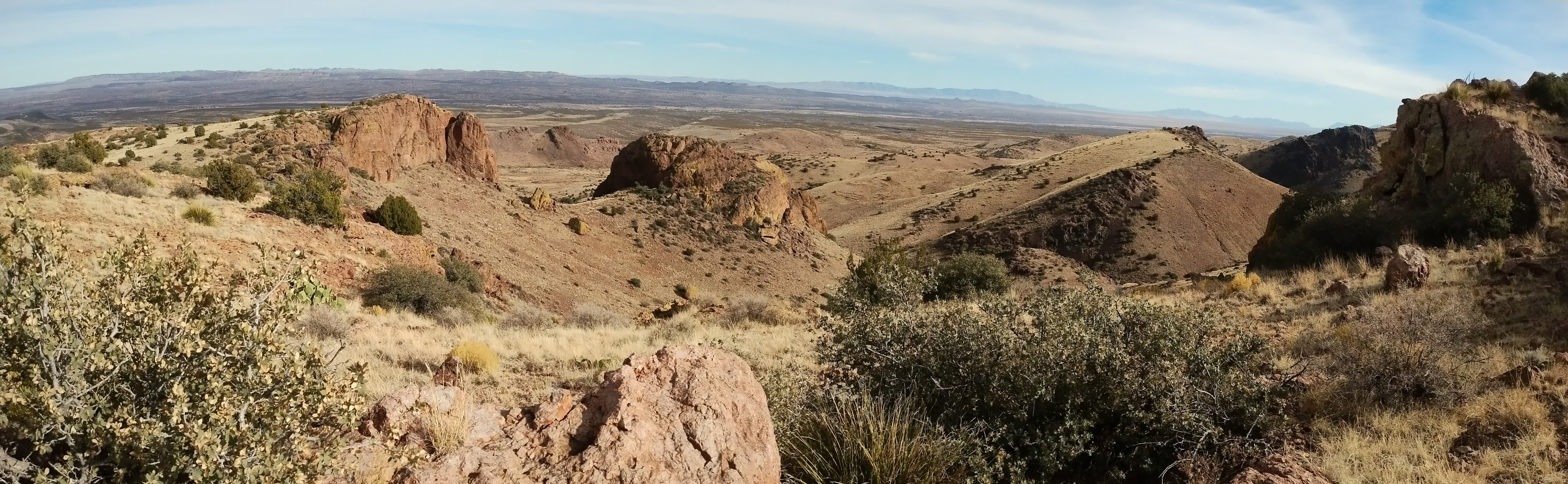
Three adjectives to describe this place come to mind: vast, empty, quiet. I’ve always said that what draws me to New Mexico is the wide open spaces under immense blue skies. Death Valley magnifies that feeling and adds so much more. It’s a geologist’s paradise and, for a wildflower enthusiast coming at the right time of year, it can be a botanist’s paradise.
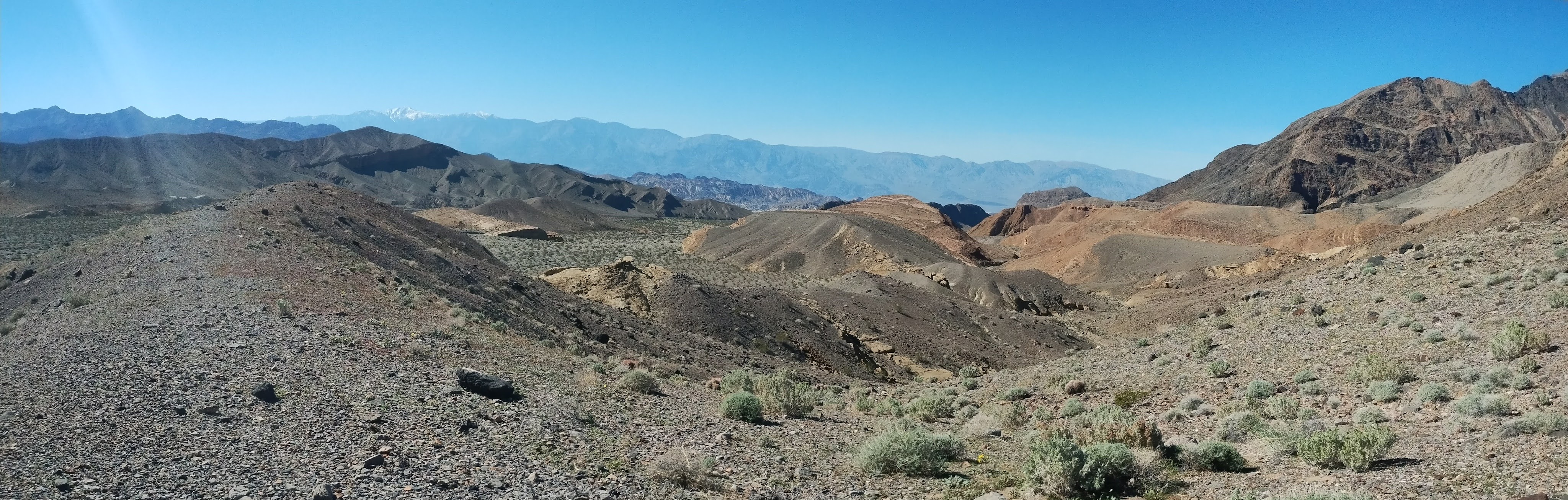
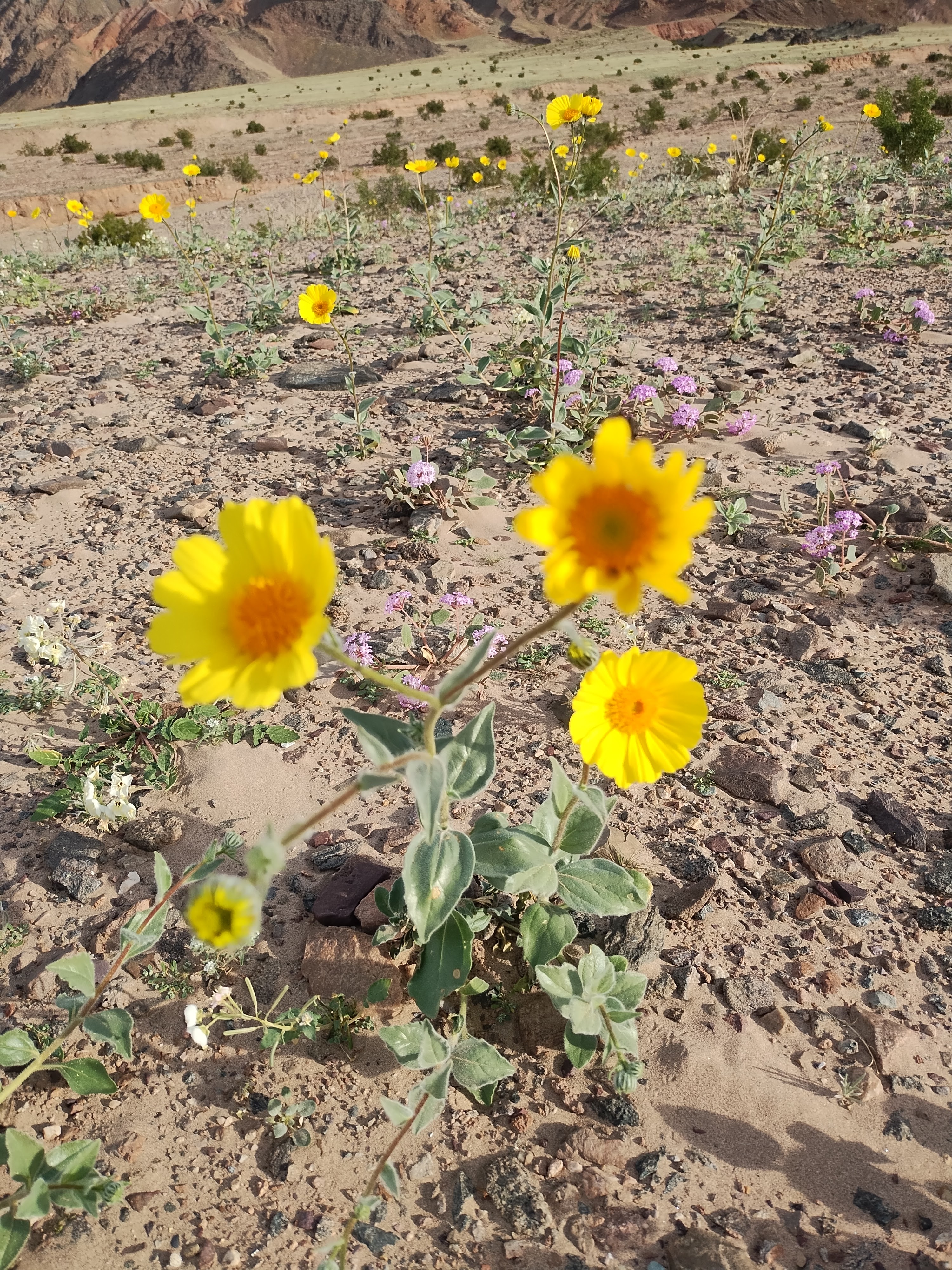
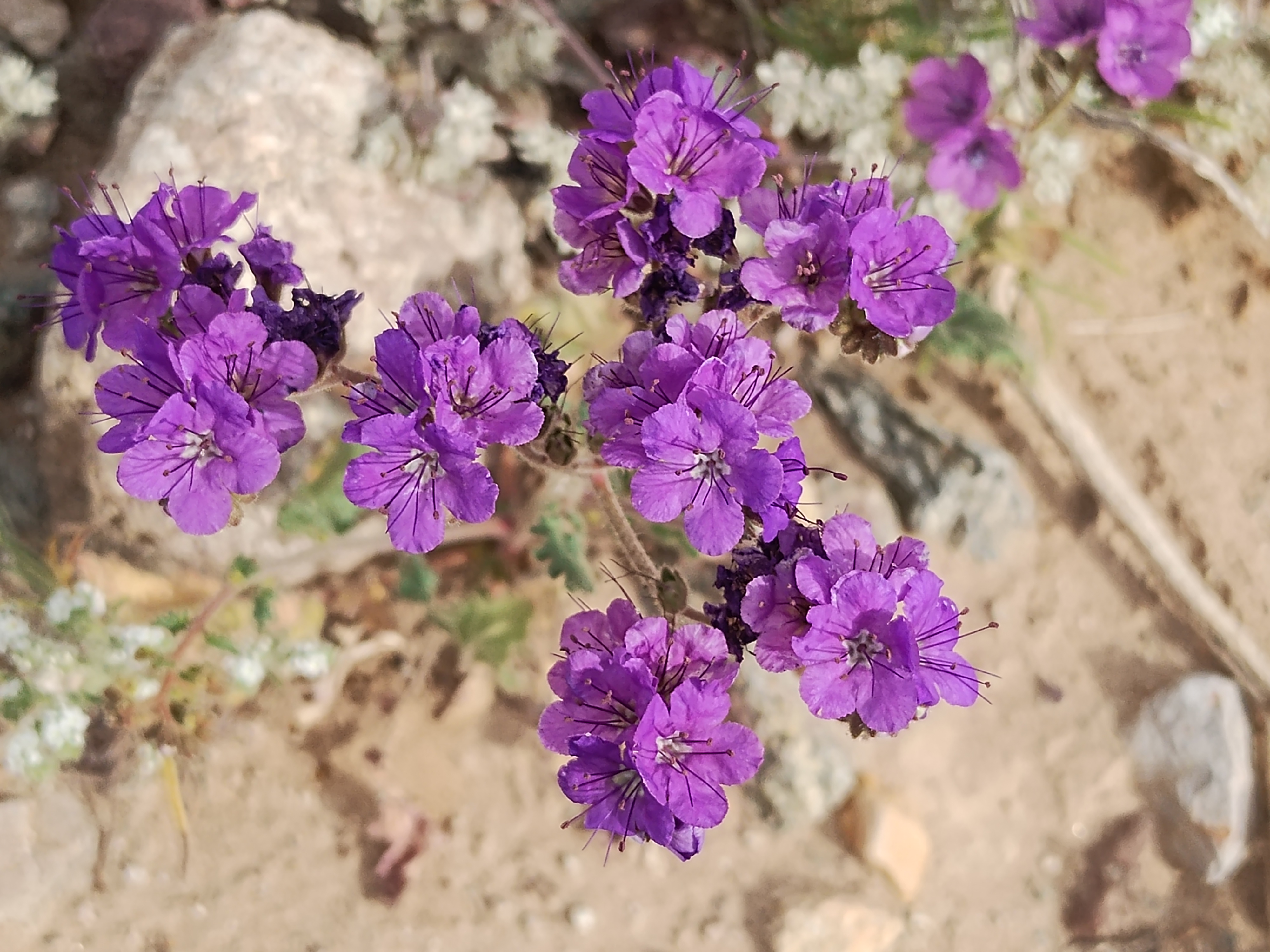
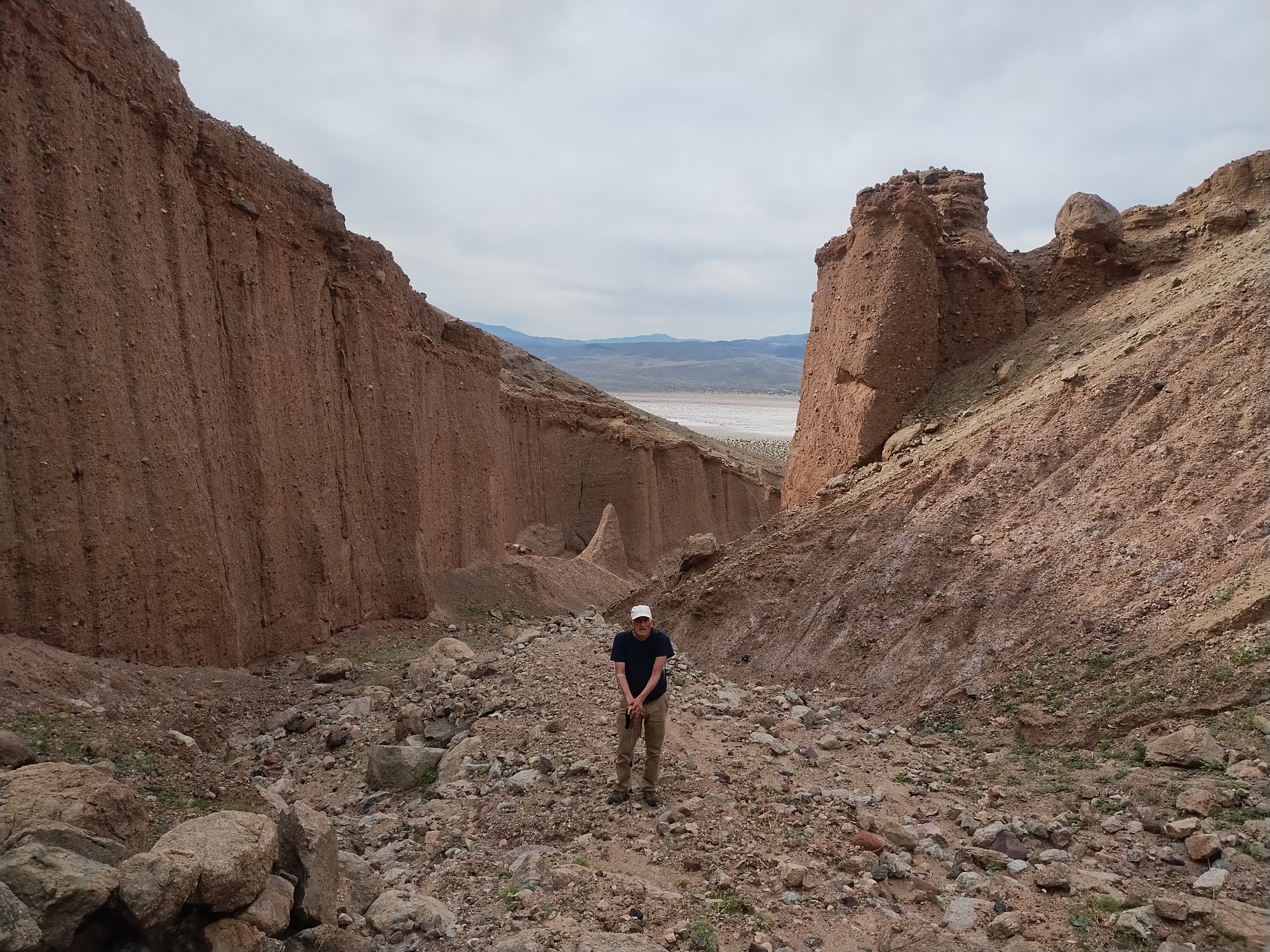
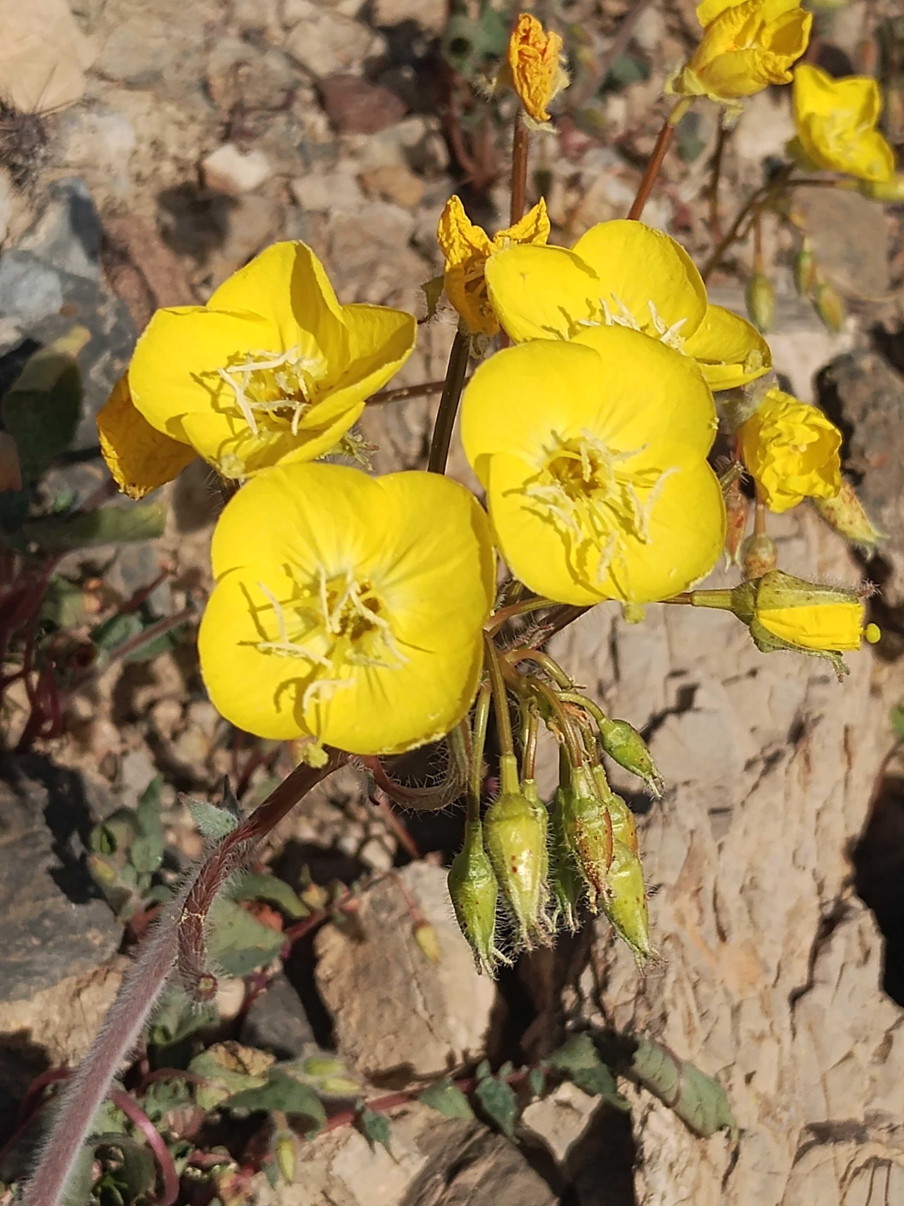
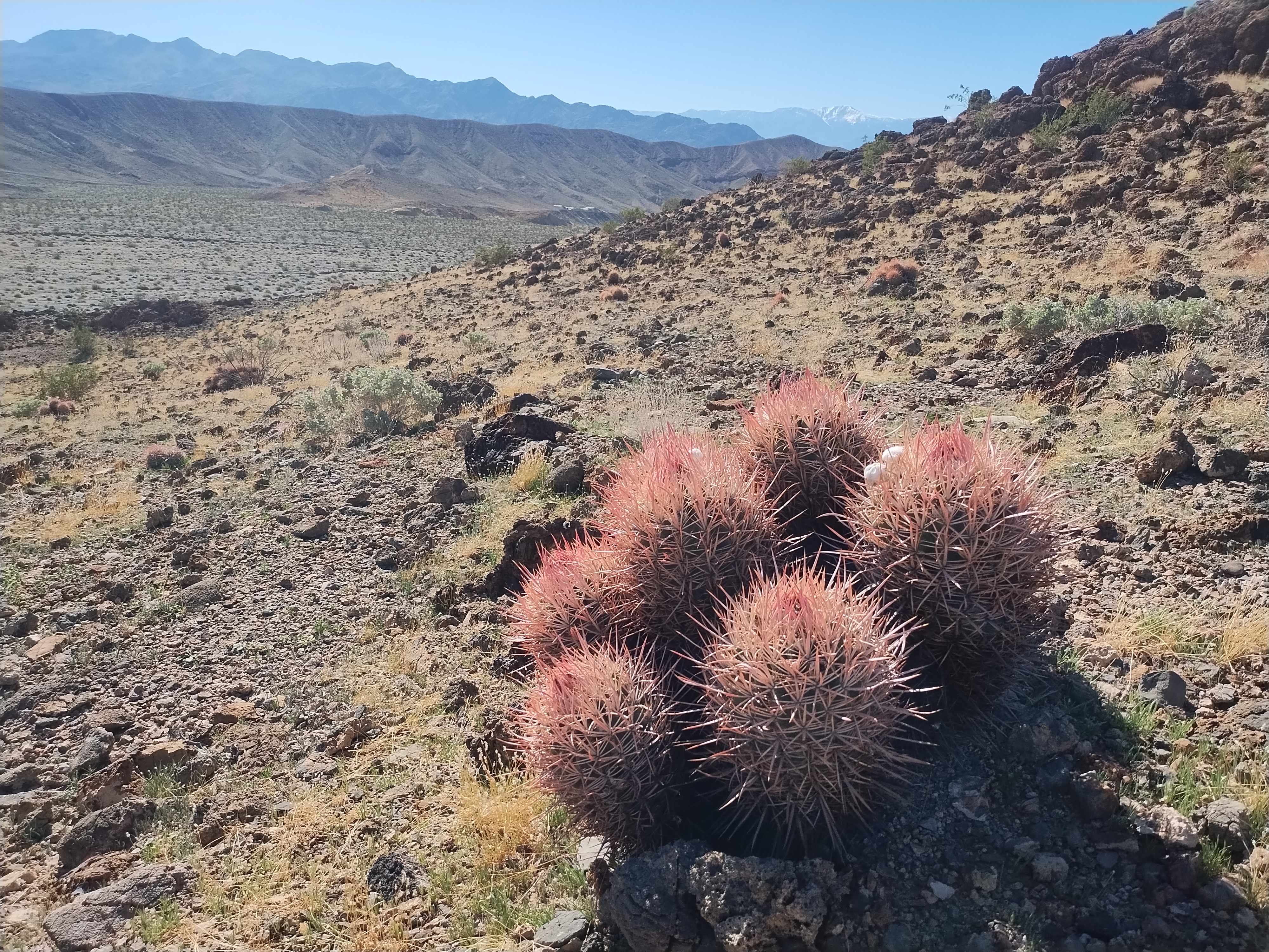
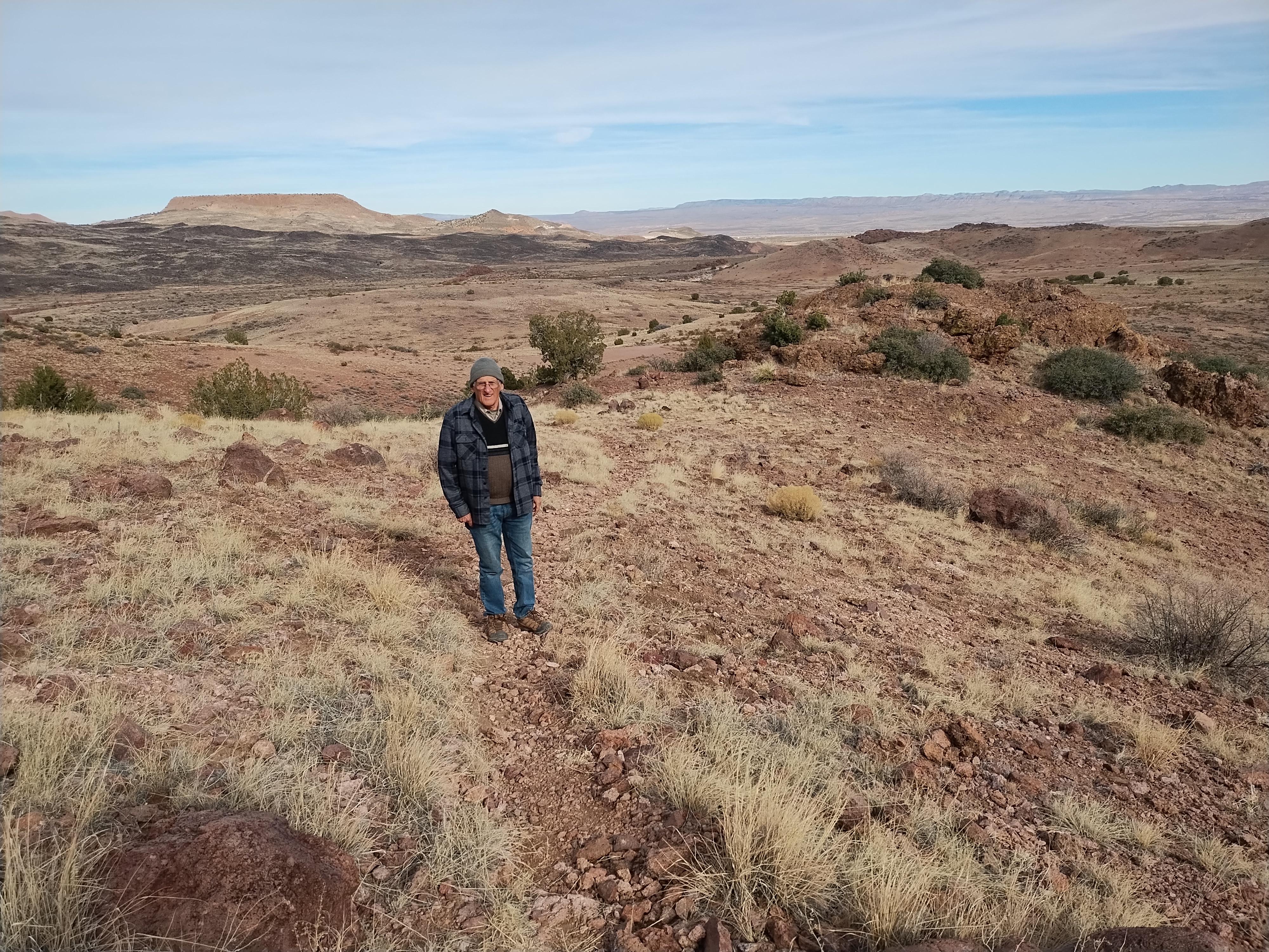
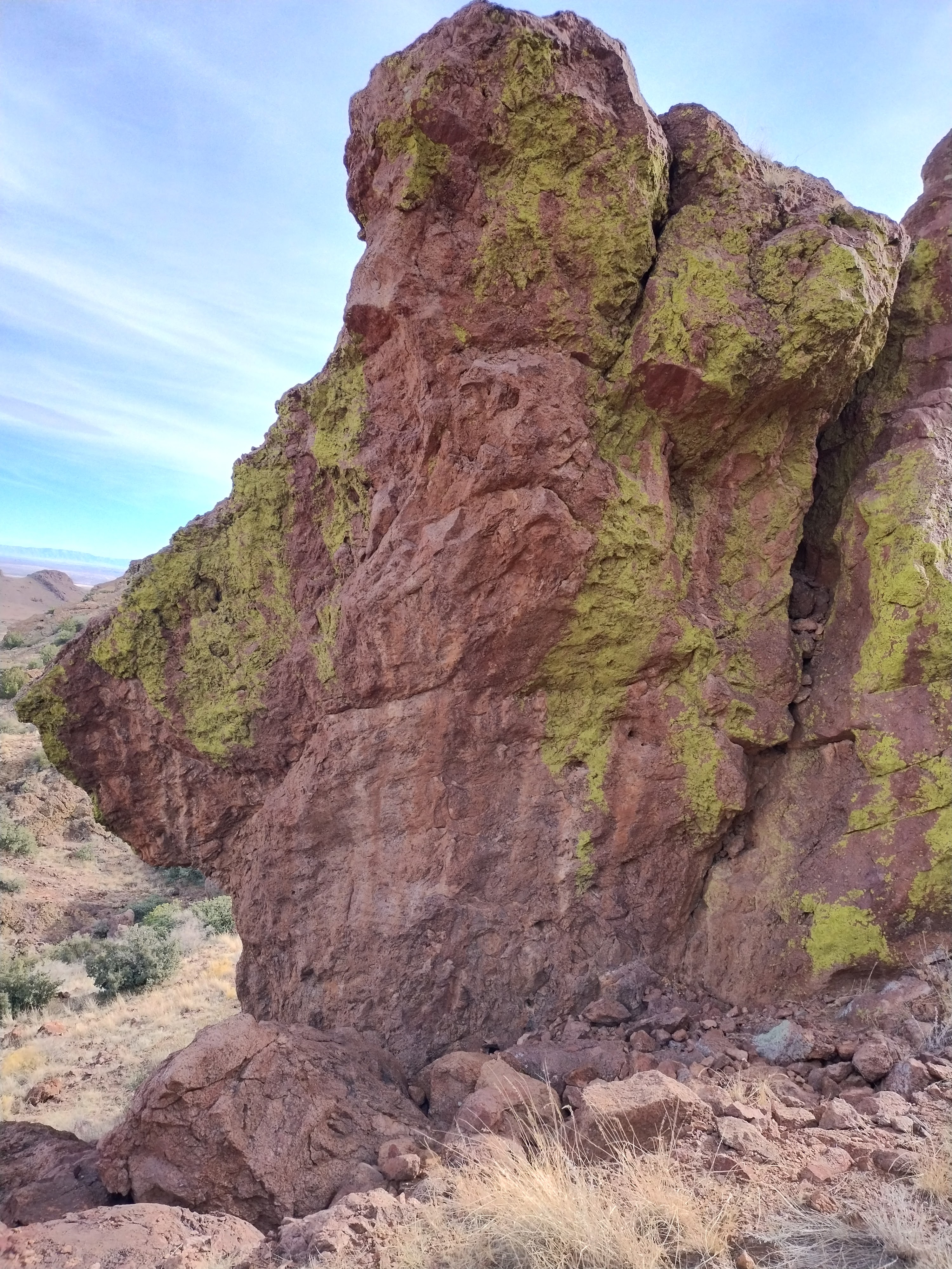
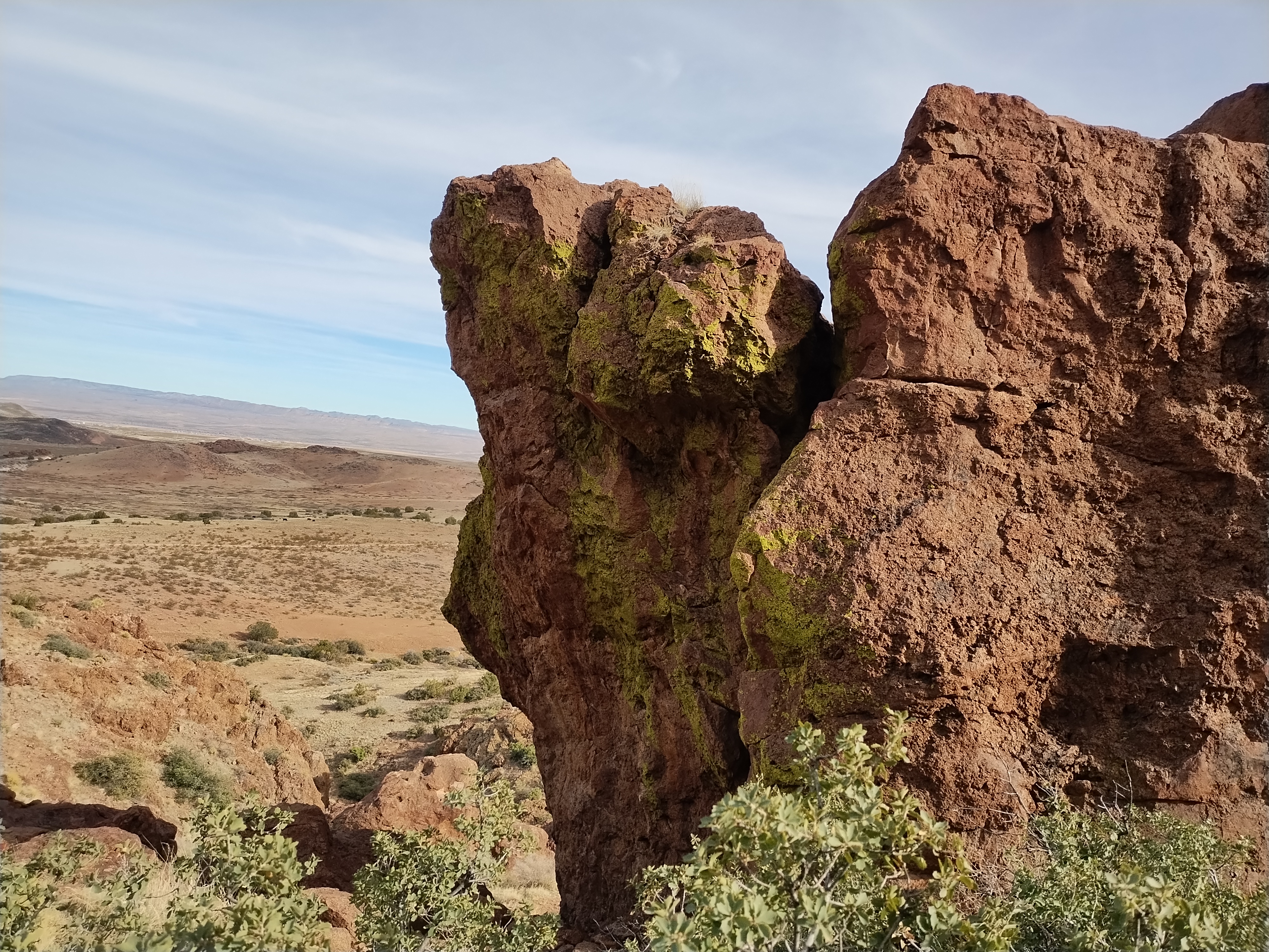
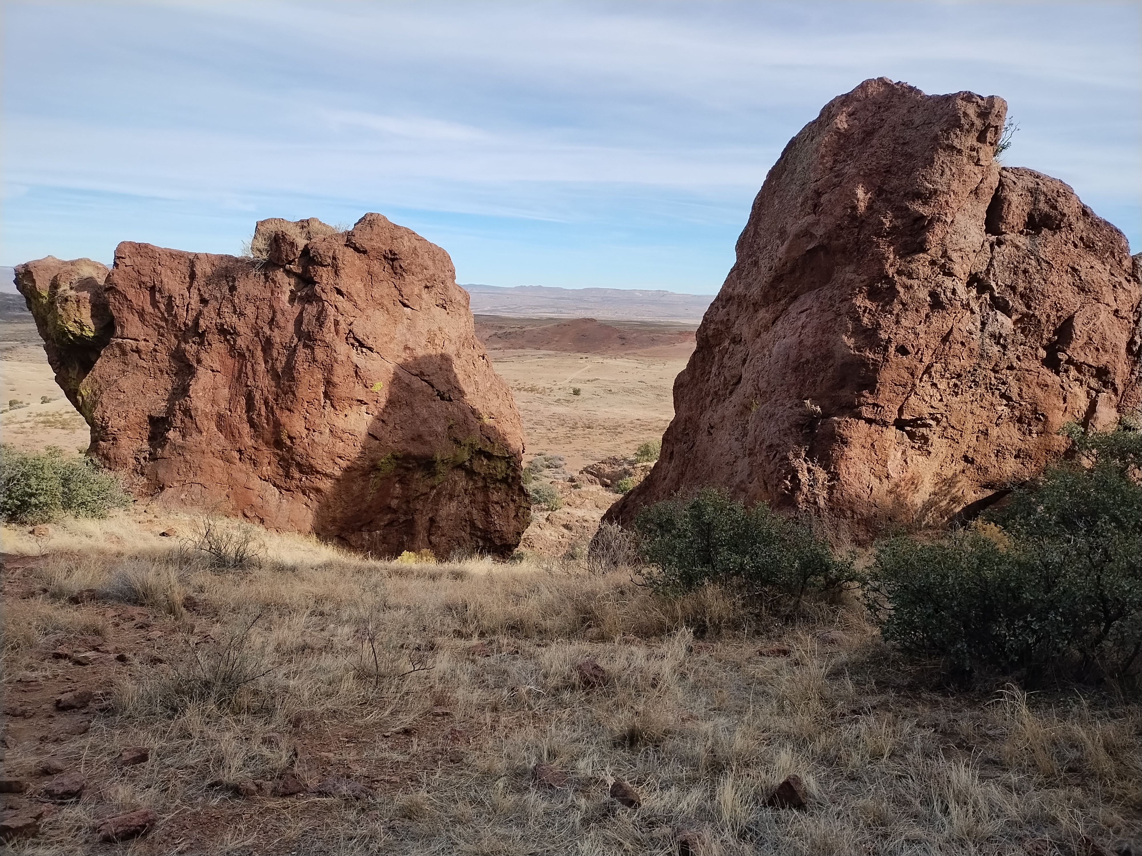
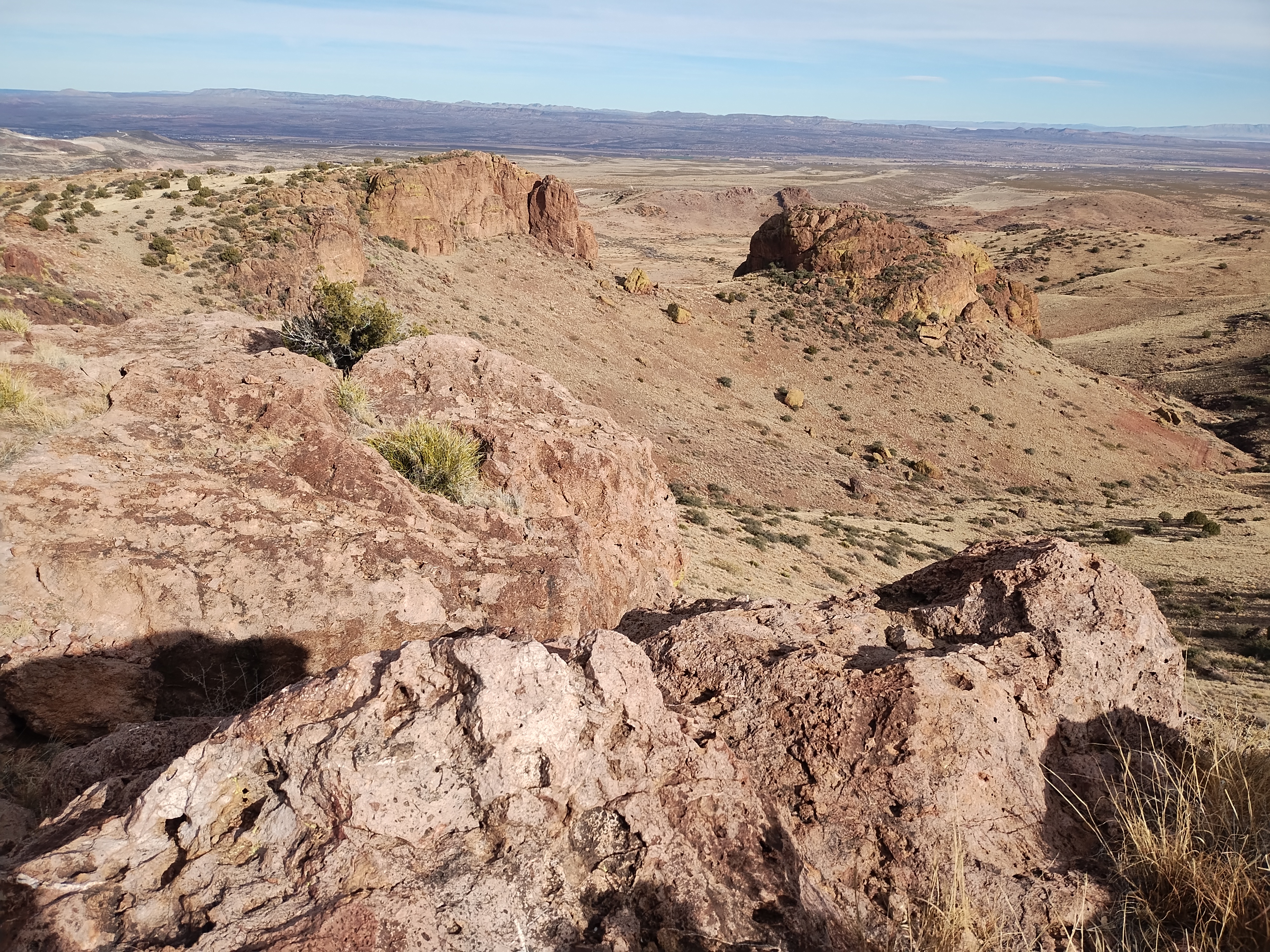
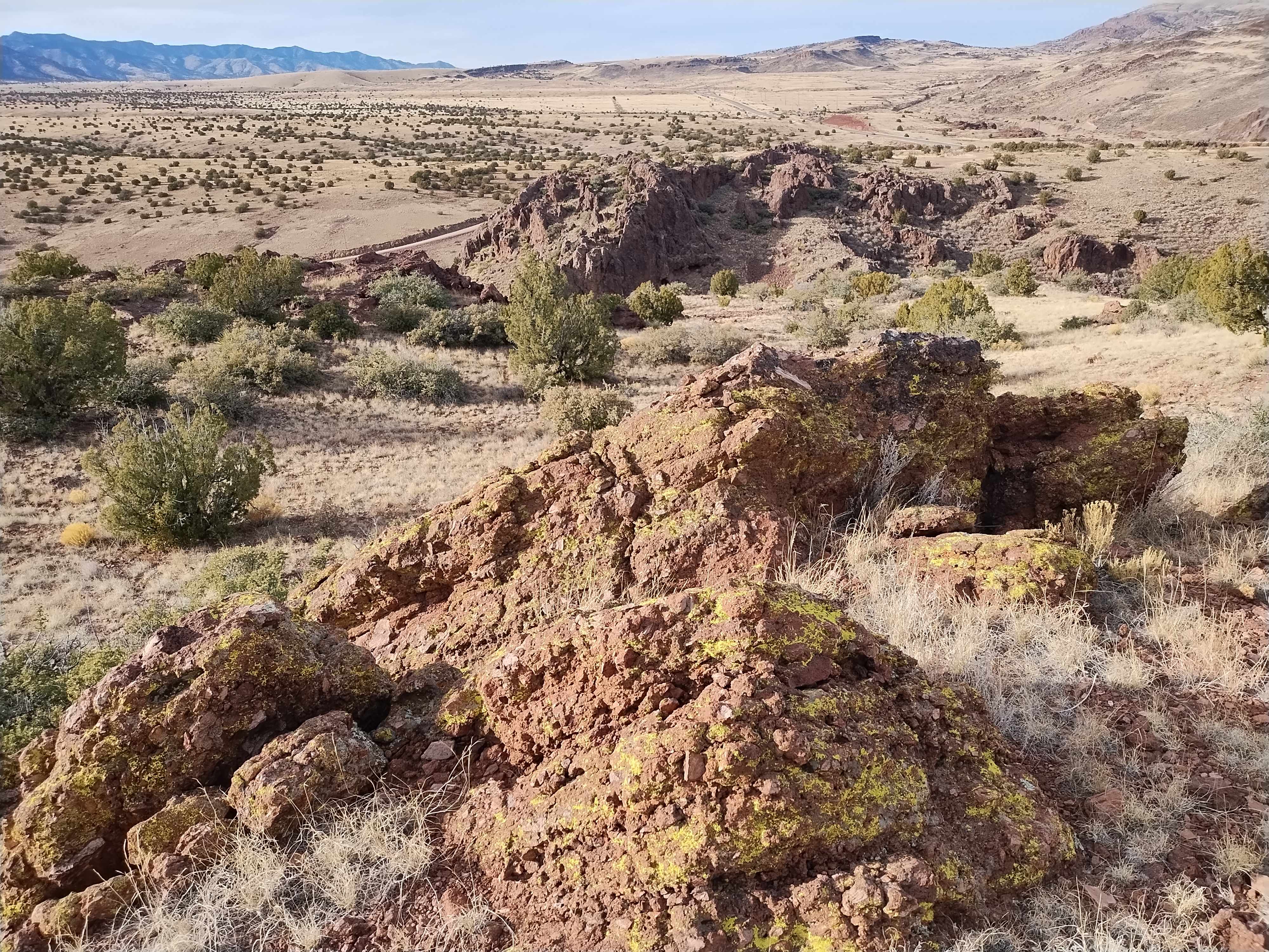
Arriving early in February this year, we caught the beginnings of the spring blooms, enough to keep Lee busy adding to his photo collection. And since mountains, canyons and rock formations are timeless, I took my share of rocky photos.
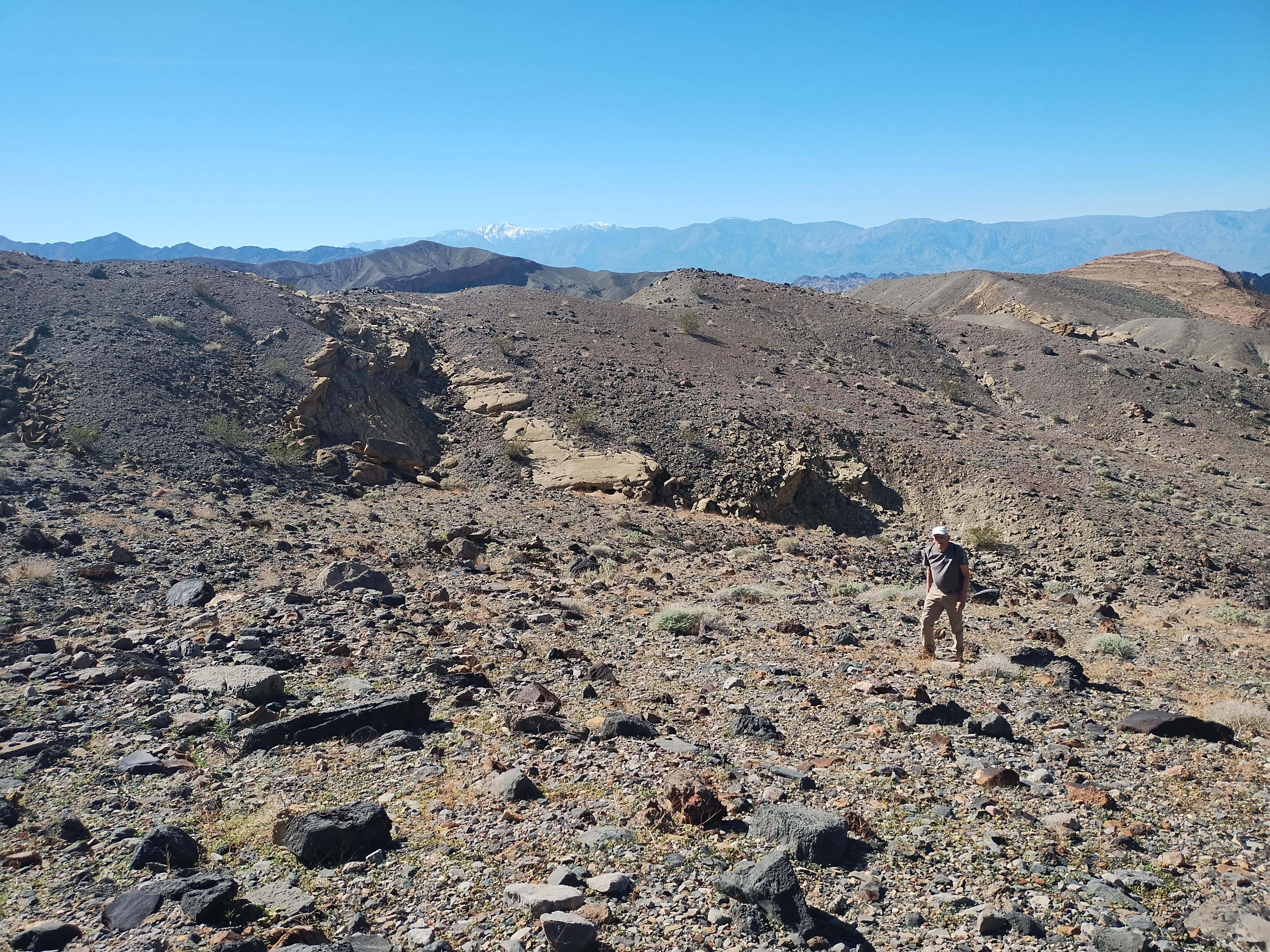
Rocks in photographs are enjoyable but when you want to get out for a hike they can provide a real challenge. We had forgotten the difficulty of trudging through gravel-filled arroyos or scrambling over piles of boulders or sliding down steep barren slopes. If we totaled up the number of miles we hiked in our 3 days there it wouldn’t be an impressive number. But the joy and peace that come from being in this special part of God’s creation can’t be measured by miles of hiking. I wish I could capture the Death Valley experience in more than a few simple photos, but here are a few photos, anyway.