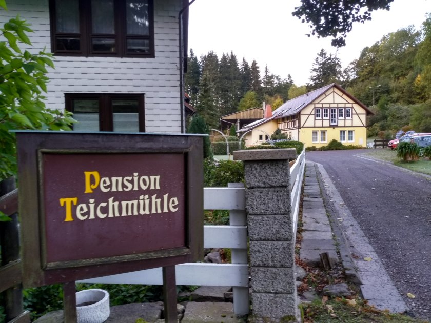
Friday was another day spent making the connections to get on the several trains that would take us from Zurich, Switzerland, to Ilmenau, Germany. All went well and we arrived on time at Ilmenau station where we were greeted by my uncle and his wife. It was dark when we got there so we had to wait until the next morning to get a look at the area around the village of Manebach where my uncle had made reservations for us at a small hotel on the outskirts of the village.
Although Germany has many attractive villages, Manebach is special to our family. It is where my mother’s father was born and raised. My mother shared memories of the vacations she enjoyed as a child when her family would come from the city of Leipzig to visit her grandparents at their house in Manebach.
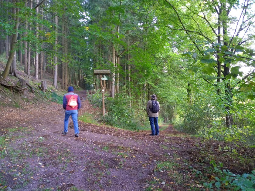
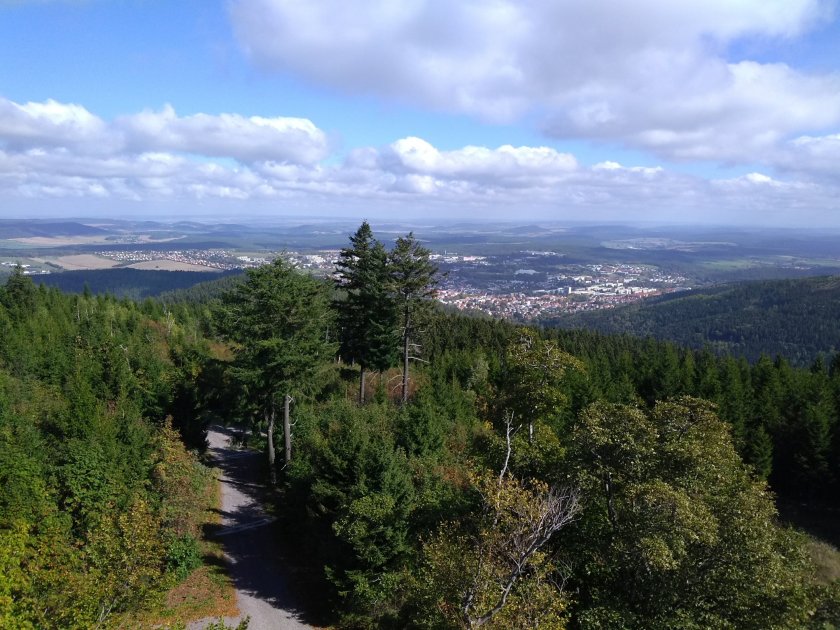
Manebach is in Thuringia Wald (“Wald” in German means “Forest”) and it is a popular destination for hiking. So, of course, our first day there was spent hiking one of the nearby trails.
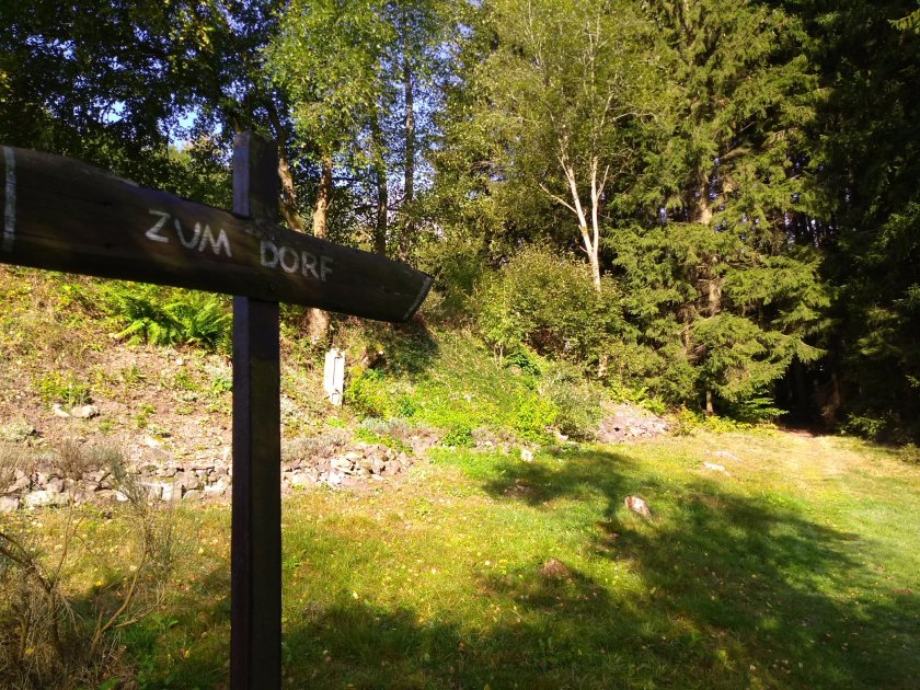
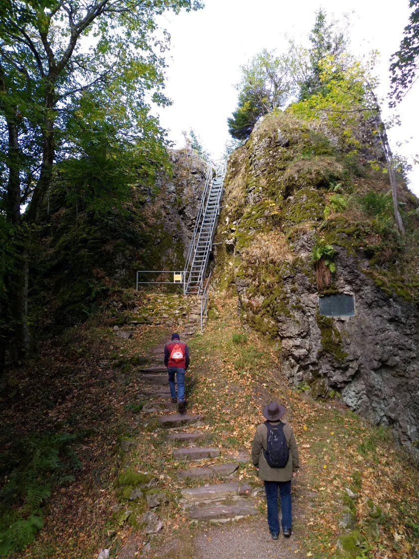
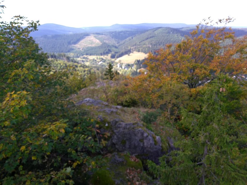
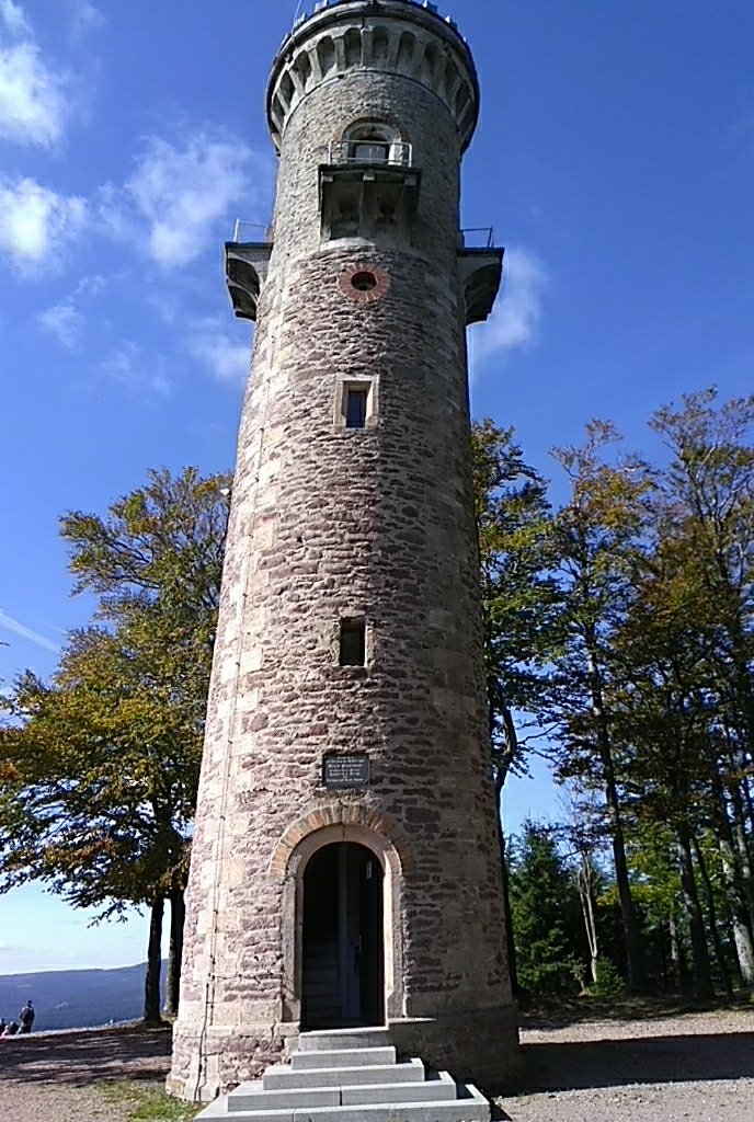
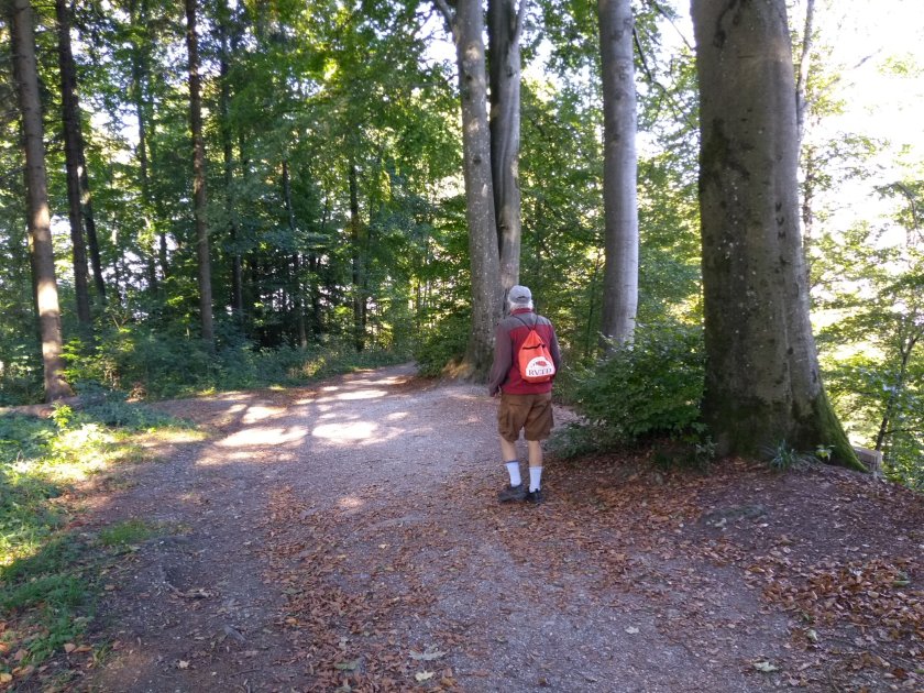
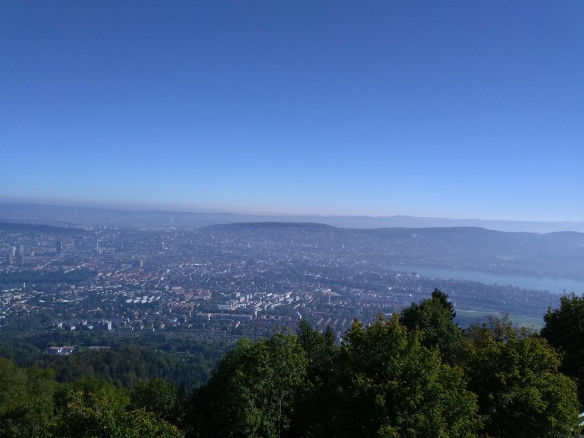
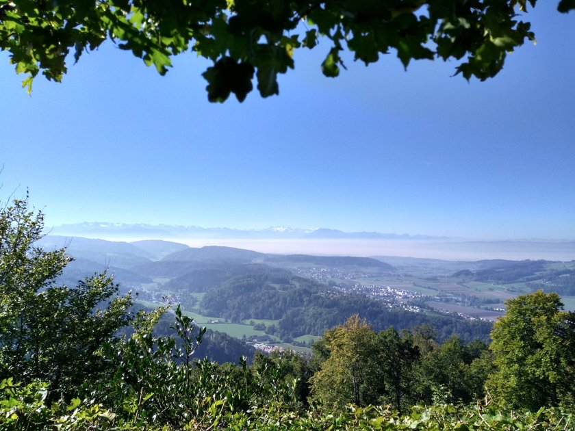
The hike started by walking through the woods behind the hotel on a path to the village. In the middle of the village some stairs led up into the woods where we continued to climb the trail to the summit of Kickelhahn Mountain. There we found Kickelhahnturm (means Kickelhahn Tower), which required more climbing up the stairs inside the tower. It was all well worth it for the views and then for the refreshments that awaited us at the small cafe next to the tower.