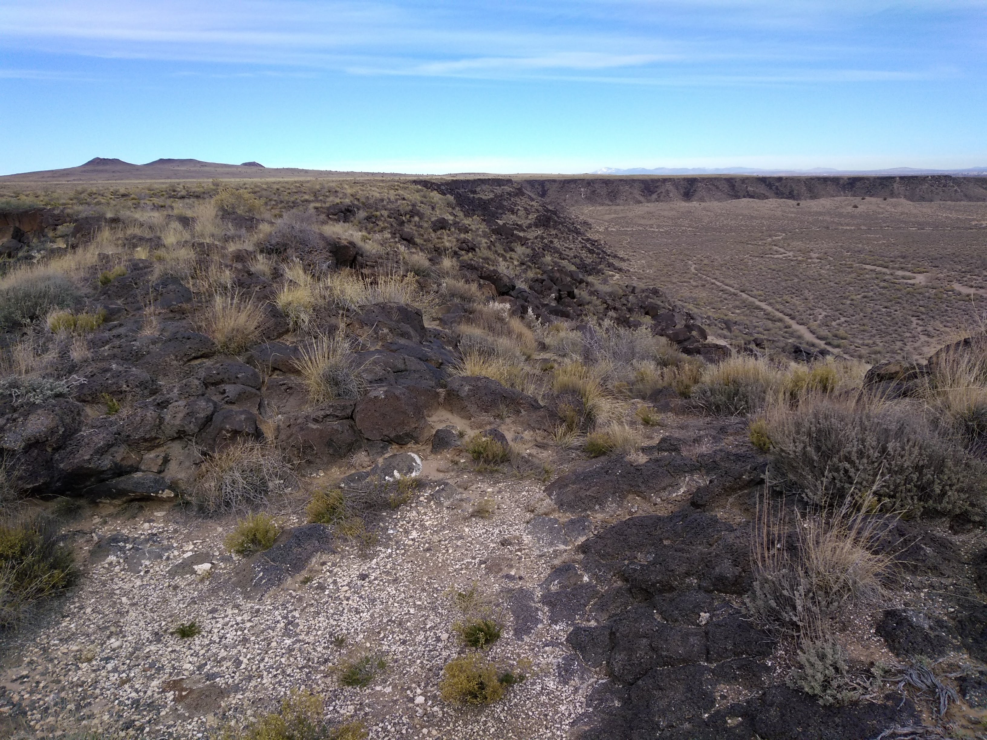
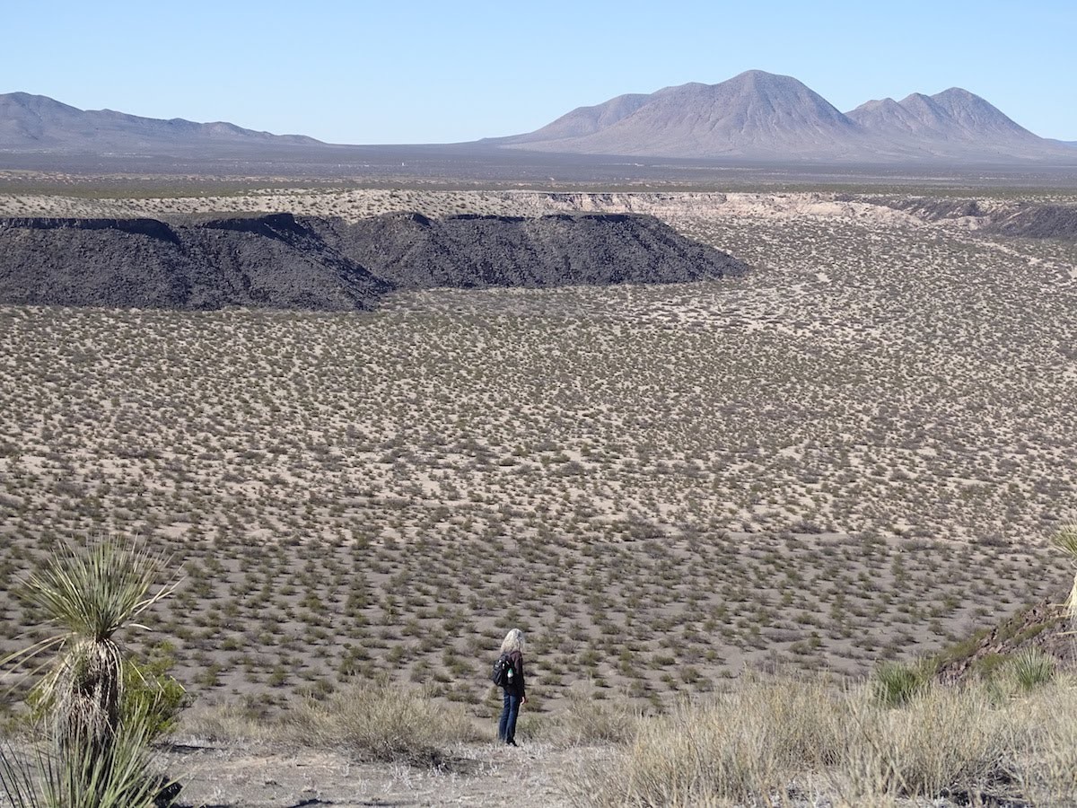
Traveling south of Albuquerque on Interstate 25 the flat desert landscape is briefly interrupted just to the west of Los Lunas by the remnants of an eroded volcanic cone that thrusts up from the surrounding sandy hills. The black-colored rocky slopes and peaks can be explored on a series of trails within the boundaries of El Cerro de Los Lunas, an open space maintained by the village of Los Lunas. Although there are nice panoramic views of the Rio Grande Valley, this isn’t exactly a scenic hike, especially in the brown, dry winter days of December.


The first couple of times that we went out there we didn’t have a map of the trails and we just stayed on the west side of the summit, doing hikes up and back. Last winter we discovered that it’s possible to do a loop hike of 7.4 miles and completely circle the highest parts of the lava remnants. I had forgotten just how long the hike gets as it winds back and forth around and through the lava flows and sandy arroyo bottoms. When we finished the loop yesterday I felt like I had gotten a good winter workout.

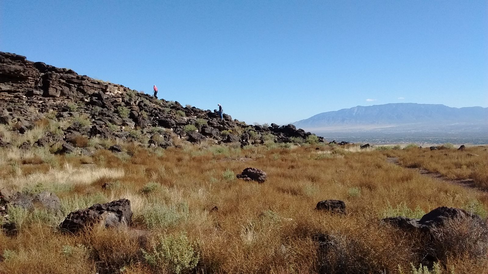
Besides providing a place close to Albuquerque for getting some outdoor exercise, the Los Lunas volcano is an interesting study in New Mexico’s plentiful examples of past volcanic activity. In the hike photos I took there weren’t any that give a sense of how prominent the mound of black rock is in the wide expanse of surrounding desert scrubland. I cheated a bit in the next photo by taking a picture captioned Los Lunas Volcano from a page in the book “Albuquerque: A Guide to Its Geology and Culture.“
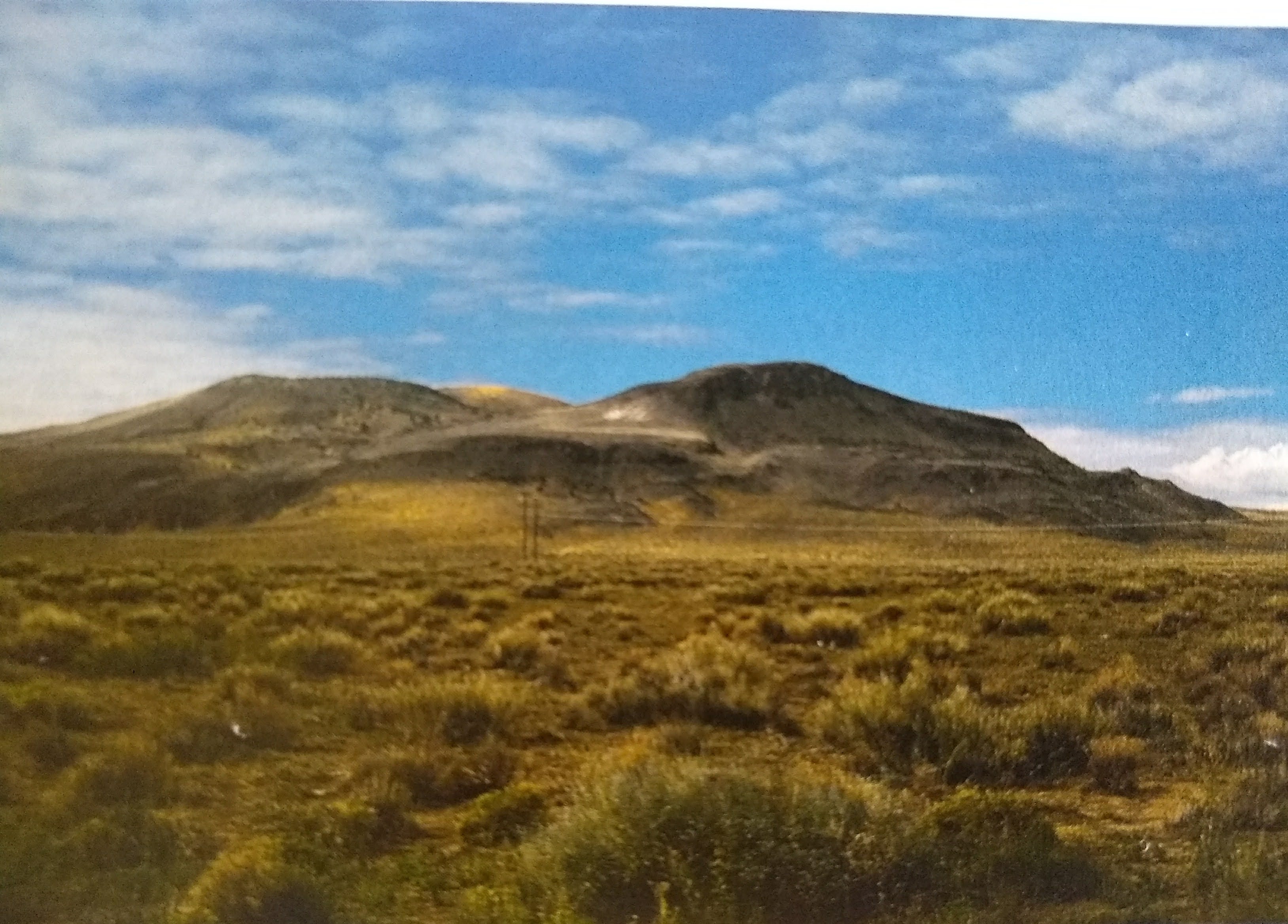
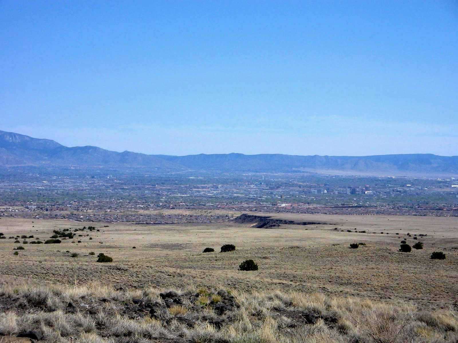
The book is a publication by the New Mexico Bureau of Geology and Mineral Resources, which I have found to be an excellent source of books and publications. Another good explanation of the volcanic features in the area south of Albuquerque can be found on one of the pages of the New Mexico Museum of Natural History website. This gives an overview photo of the chain of volcanic eruptions running on a line north and south in the Rio Grande rift. It puts into perspective the Los Lunas volcano along with the five familiar black humps of the Albuquerque volcanoes that form the western skyline of the city.
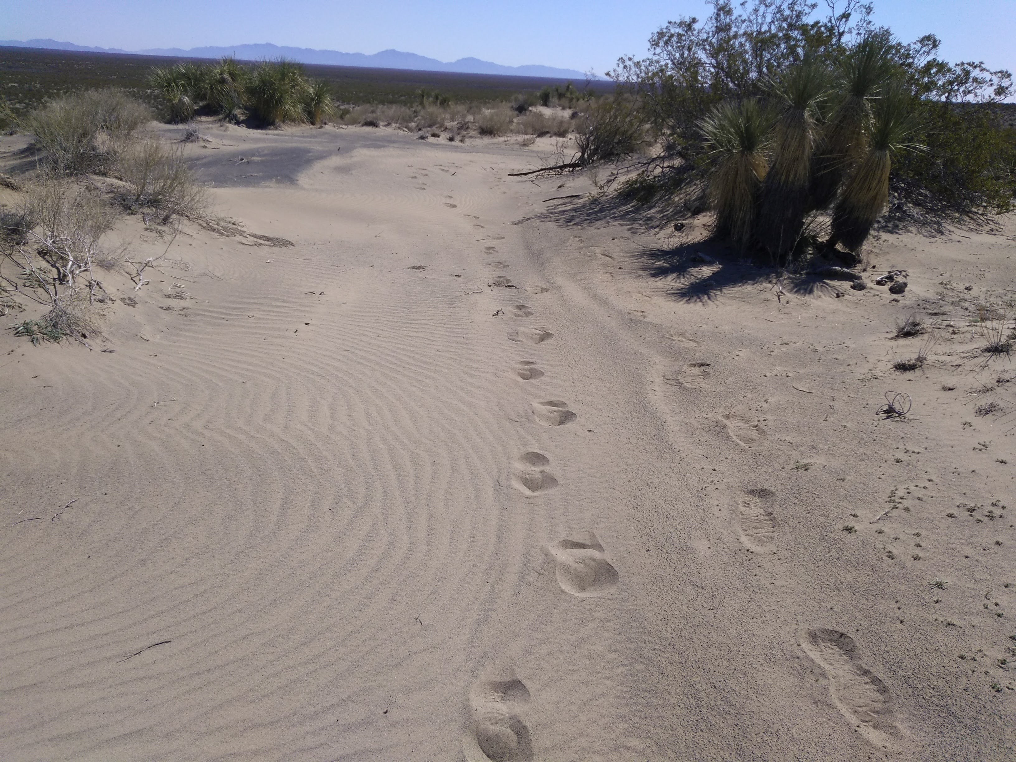
In addition to leaving behind eroded cinder cones, the Albuquerque volcanoes oozed out massive lava flows that hardened and formed distinctive escarpments of black basalt rock. Prehistoric peoples left behind petroglyphs on many of the rock faces and today they can be viewed from several different walking trails at Petroglyph National Monument. What we like about this area is that it is right at the edge of town and takes us only a few minutes to get there. Many a day when we have just a couple of hours to be outdoors we head over there to walk the trails. Mountains are wonderful for hiking in warmer months but in the cold days of winter I am thankful that there are interesting desert hikes so close to home.
The next four photos are from past excursions in the petroglyphs.