Big Bend

Most people have heard of Big Bend National Park, but fewer people are aware that there is a Big Bend State Park (actually, it is Big Bend Ranch State Park). Until Lee researched hiking in the Big Bend area and suggested we visit there, I didn’t know it existed. It has only been a park since the early 90’s, fully opening to the public in 2007. At 300,000 acres it is the largest state park in Texas.

Geographically, both parks are in the huge section of southwestern Texas where the Rio Grand River makes a 100-mile loop around the Chisos Mountains as it heads towards the Gulf of Mexico. Big Bend National Park encompasses the Chisos Mountains, making for awe-inspiring vistas and many challenging hiking opportunities. We experienced some of those in our 2016 visit.

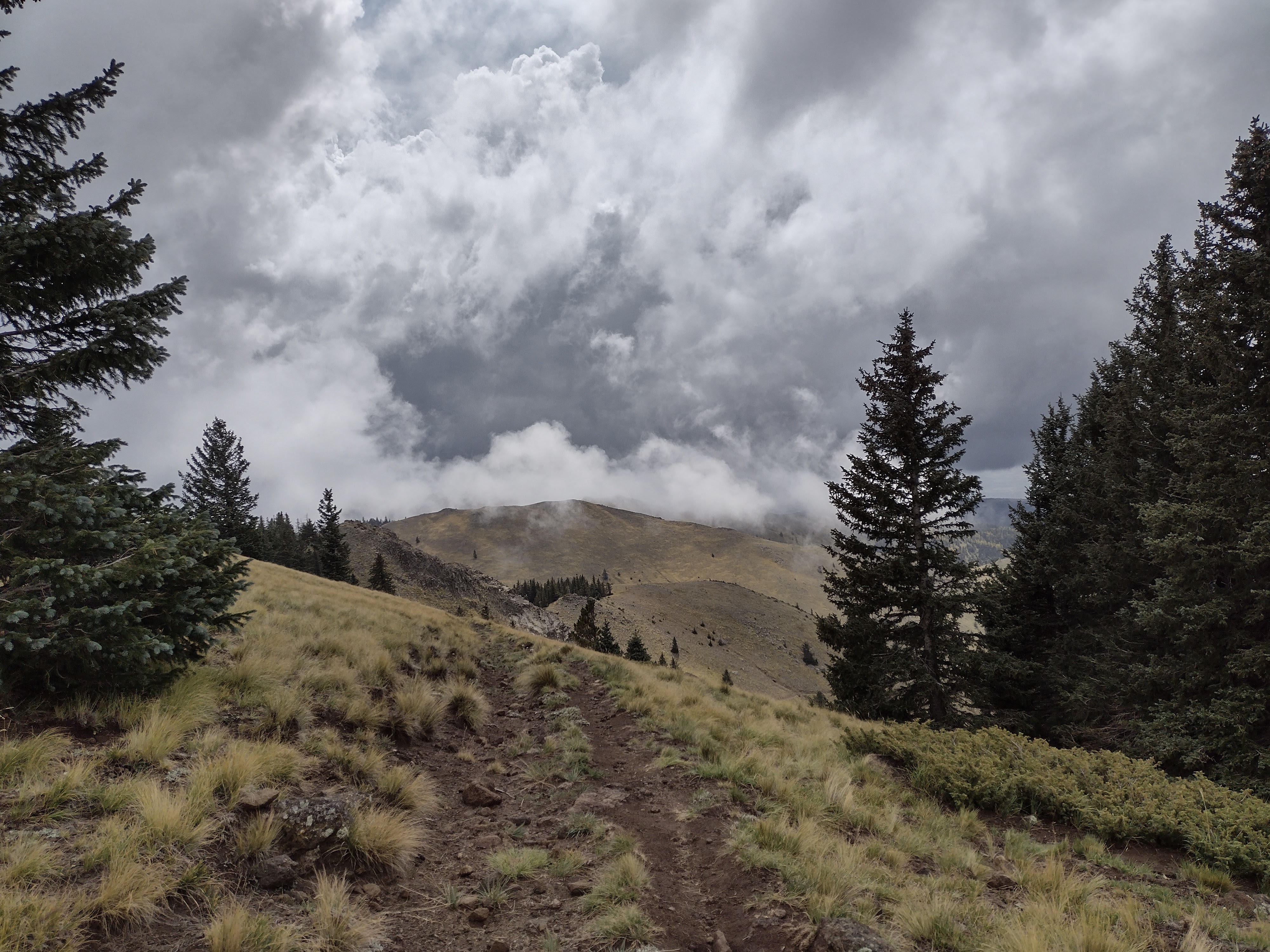
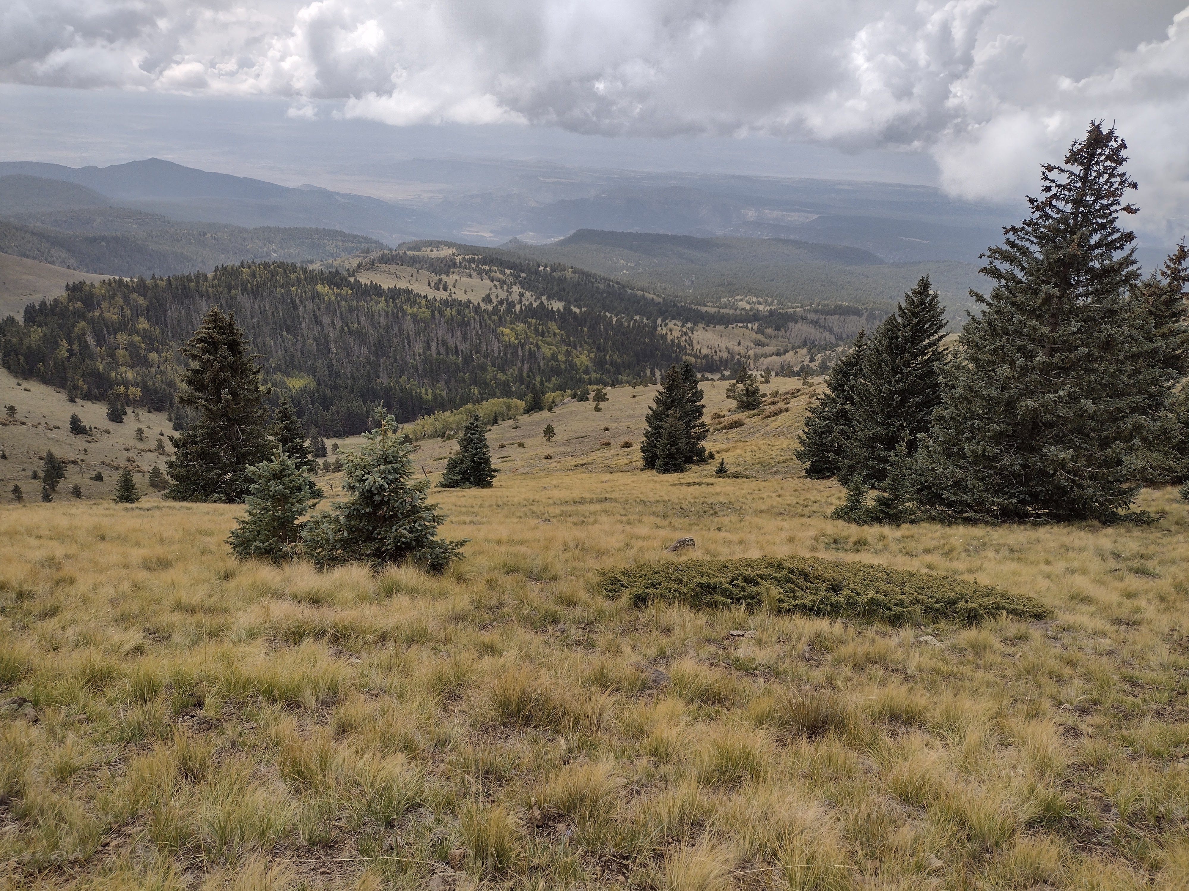
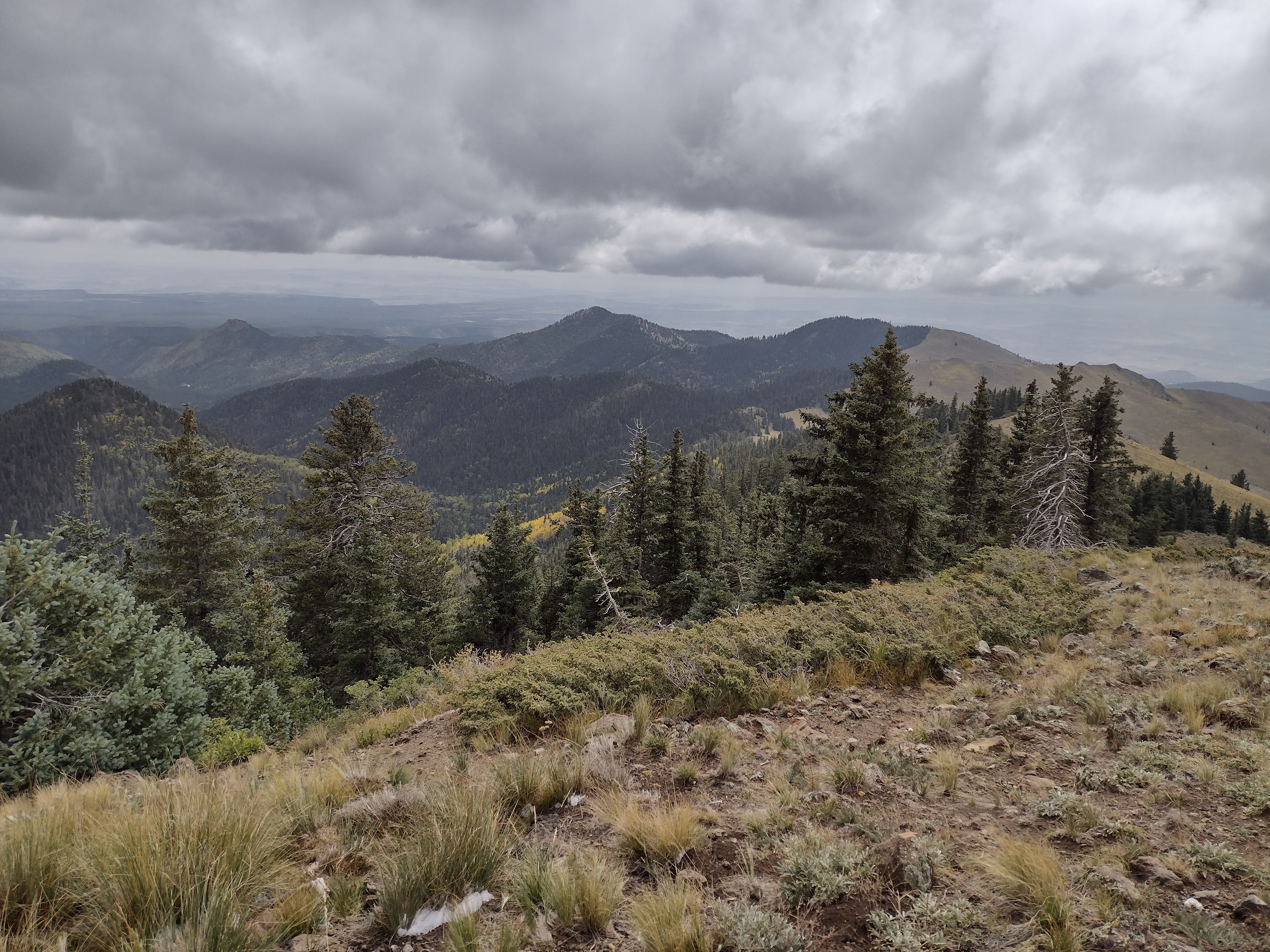
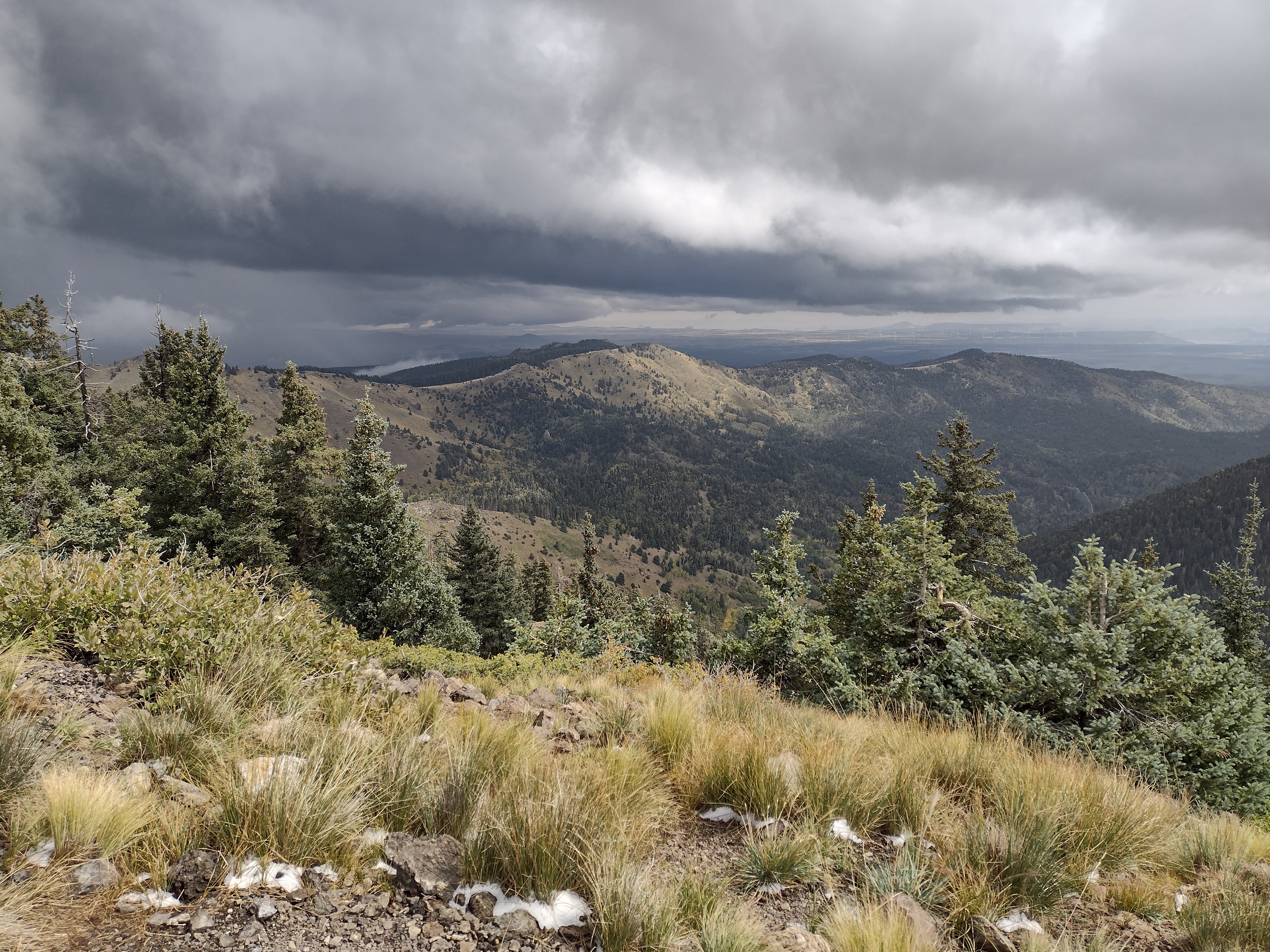
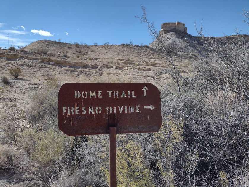
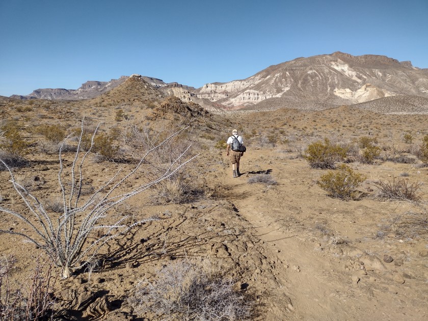
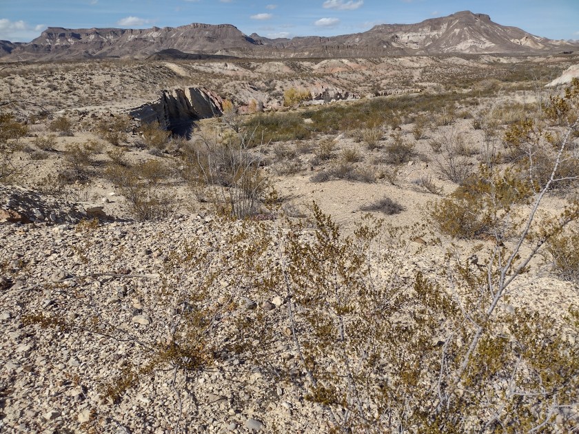
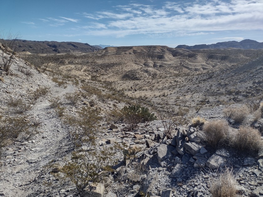
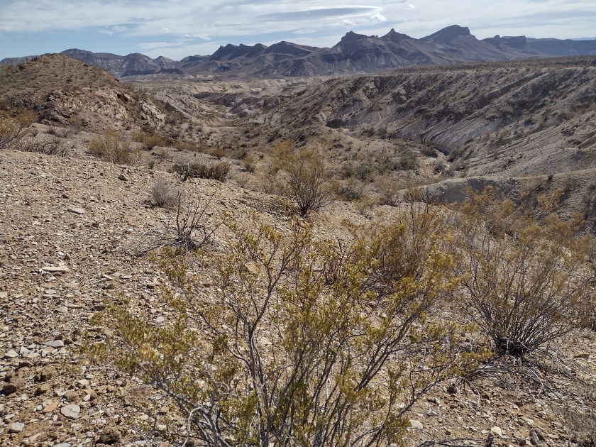
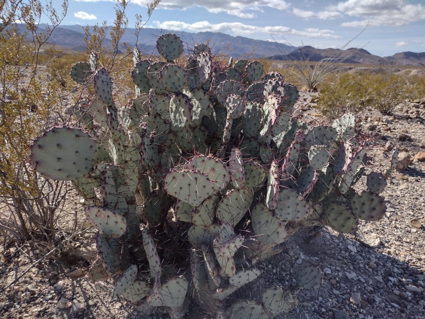
The Big Bend Ranch State Park is upriver, northwest of the mountains, but still contains beautiful scenery, accessible spots along the river, hikes through canyons and over mesas and miles of trekking across Chihuahuan desert terrain. Because it is less well known than the national park and is less developed it is ideal for getting away from civilization. The first day there we did two short hikes and then yesterday a 7.5-mile hike out and back on the Fresno Divide Trail.

Photos from Monday hikes


As we head east today we will pick another place to hike in Big Bend National Park, saying goodby to this quiet, remote area and joining the larger groups of tourists who visit Big Bend National Park.

Summer is Over

A friend recently made the observation that Albuquerque only has two seasons–summer and winter.  In my experience, that often seems to be the case.  Last week we were hiking in shorts in the Pecos Wilderness on a trail that took us to 9200 feet elevation and had us hot and sweaty by the time we got back to the car. 

Hiking in Pecos Wilderness
Stream crossing
Some nice, big trees

Cooler weather had moved in this weekend and with partly cloudy skies and 70 degree temperatures it looked like a perfect day for a fall hike.  

,By the time we were halfway to our destination today, however, it felt more like winter.  The temperature was in the 40’s and the dark clouds overhead were beginning to drop down pellets of ice/snow.  It looked like it could turn to rain at any moment and neither one of us had brought rain gear.  We came close to turning around, but, fortunately the clouds seemed to move around to the other side of the mountain.  Before too long we saw the welcome sight of the Mt. Taylor summit sign and we were glad we had kept going.

The Gooseberry Springs Trailhead on the west side of Mt. Taylor starts at 9200 foot elevation, taking a little over 3 miles to reach the 11,300 summit.  It’s understandable that the weather can be so different at such a higher elevation.  But it still amazes me that with a two-hour drive we are back in Albuquerque again with the temperature at 80 degrees, looking at Mt. Taylor on the western skyline, knowing that it’s 40 degrees cooler up there.