A “Maars” Scape

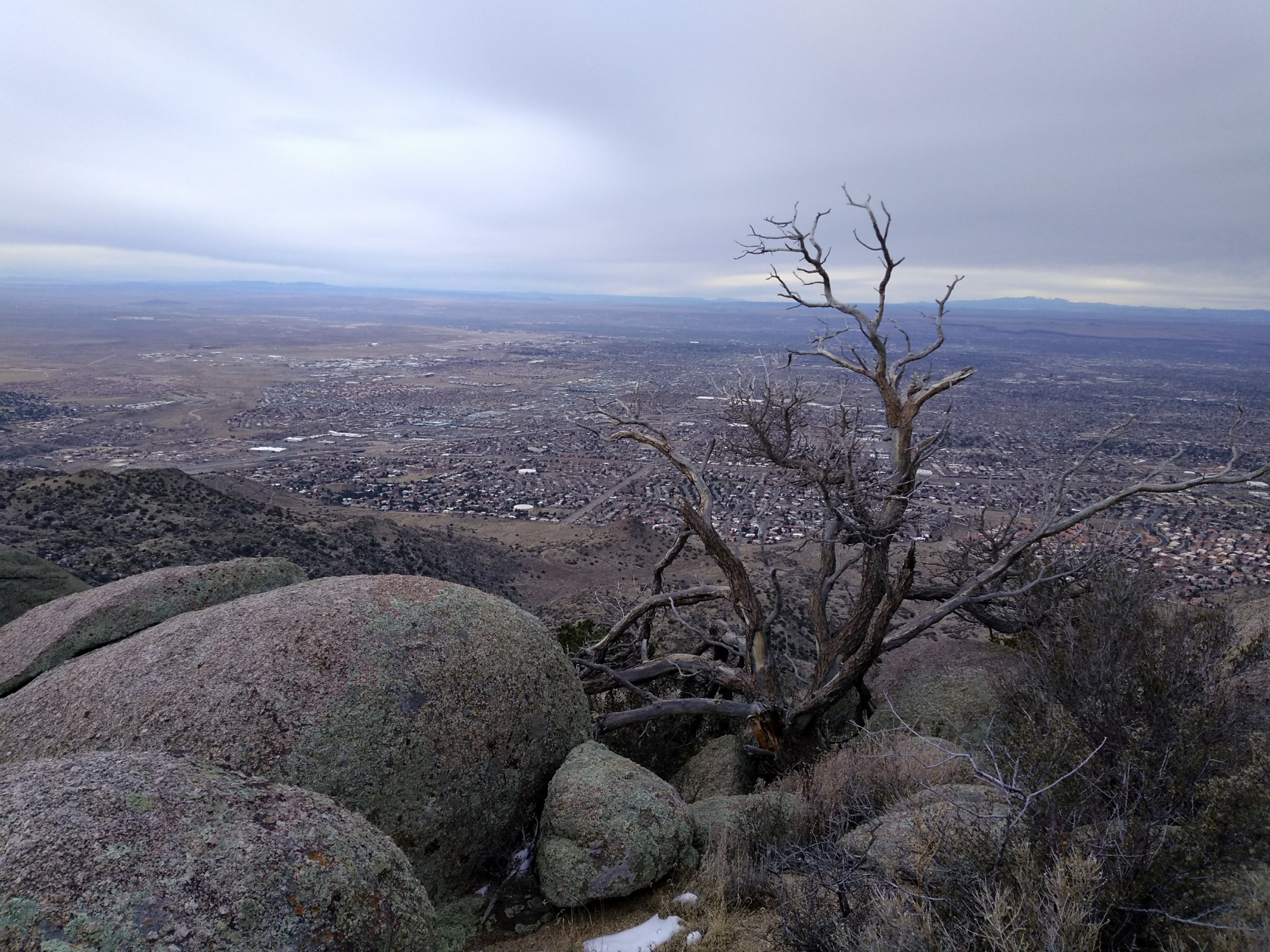
In New Mexico we are accustomed to hiking in landscapes that can be described as “moonscapes.” Today’s desolate hiking destination took us through an otherworldly landscape around a special type of volcanic crater known as a “maar”,  hence a “maars scape.”  When hot, molten rock comes into contact with subsurface water it can cause a huge explosion of steam that hurls ash and volcanic material over a large area before collapsing and creating a shallow crater.

Kilbourne Hole, located about 25 miles southwest of Las Cruces, is a large maar designated a National Natural Landmark in 1975 due to its unique geology.  We are spending a couple of days exploring hikes in the Las Cruces area and decided that today would be a good day to check out this special volcanic feature.

I thought a feature designated a national landmark would be fairly accessible, but without the detailed driving directions in our guidebook “Day Hikes in the Las Cruces Area”, we never would have found it.   There’s no such thing as a direct route through this part of Dona Ana County.  Once leaving the interstate, it is a series of 8 different turns back and forth on increasingly rough county roads leading out into the vast Chihuahuan Desert grasslands.  The only sign indicating that we were headed towards Kilbourne Hole was a hand written sign placed on one of the dirt roads that branched in two directions.  My guess is that the rancher got tired of having lost tourists taking the wrong branch and ending up at his ranch.

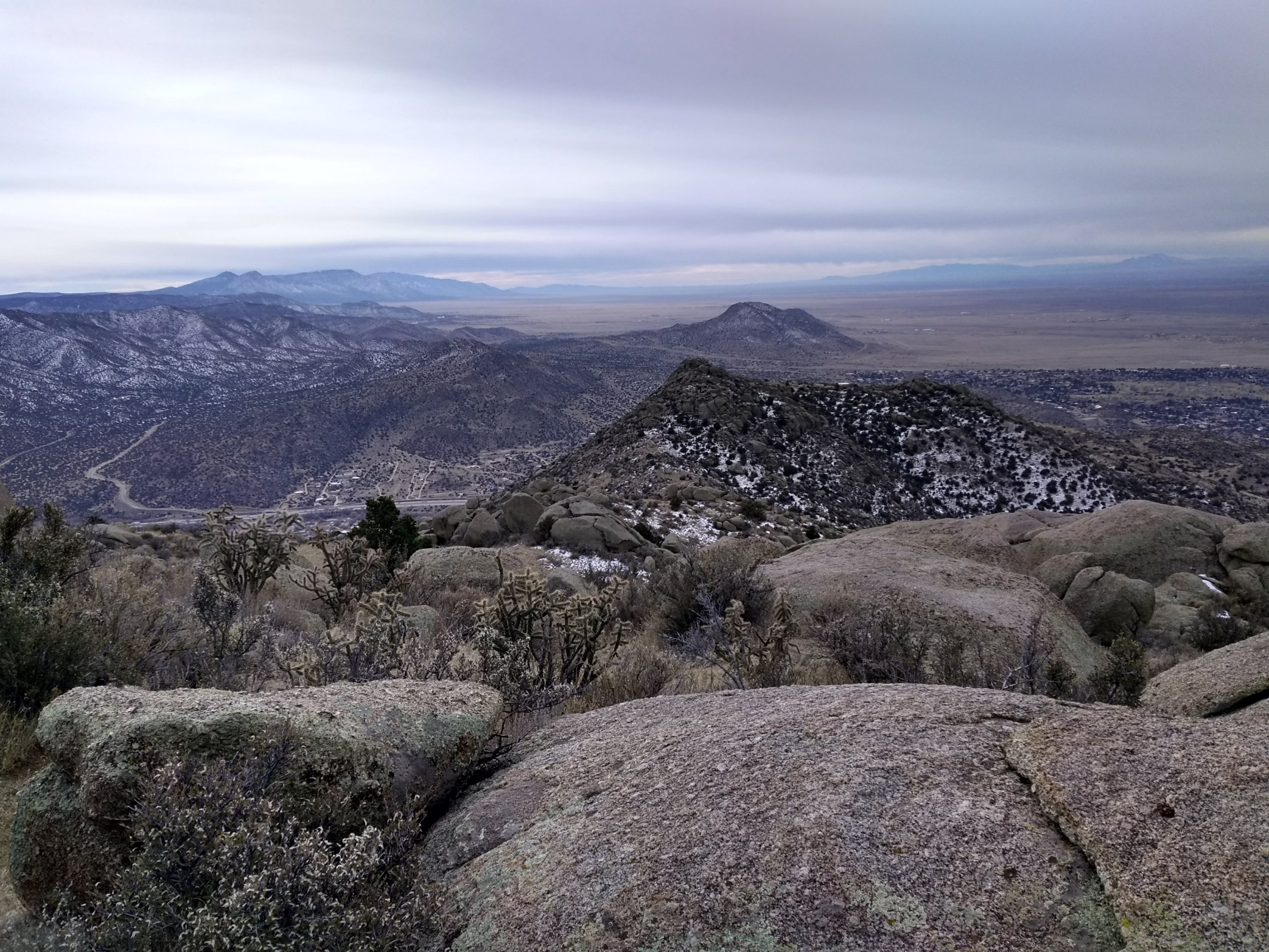
The edge of the crater itself is the only indication that you have finally arrived at your destination. The bottom of the crater is private land but a number of jeep trails and dirt roads surround the rim, making it possible to hike the entire 7-mile perimeter. Except for some sandy areas that made for difficult walking, it is not a strenuous hike. It’s not exactly a scenic hike, but it does have the desolate beauty of the desert solitude we enjoy so often in the Land of Enchantment.

Besides being a volcanic maar, Kilbourne Hole is renowned among rockhounds as a place to find “volcanic bombs” or xenoliths. These are blobs of molten lava ejected from the volcano that contain pieces of other rocks, most notably olivine crystals in the hardened lava rocks at this location. We found many broken pieces of black basalt that were encrusted with the bright green olivine crystals.

Bright green anything is a welcome sight this time of year.  Lee found a couple of tiny flowers that he could photograph but not much else was growing yet.  Thankfully, the spring winds aren’t blowing yet either.  After a chilly start in the morning we had plenty of sunshine to warm us up and make a perfect hiking day.

A Bolder Boulder Ridge Hike

An overcast, chilly winter day and it feels wonderful to relax in an easy chair with a hot cup of tea. Especially after today’s rugged 6-1/2 mile hike in the foothills of the Sandia Mountains.

Lee had read about a hike called Boulder Ridge that was posted on the Albuquerque Senior Center Hiking Groups website.  Since the Sandia foothills are just east of the city we have become familiar with the area and had a sense of where the hike would go.  But one of the problems with the proximity to the city is that the area is heavily used by hikers, dog walkers and bicyclists, many of whom make their own unofficial trails.  It’s often difficult to know if you are on the trail you intend to follow.  Also, it’s not too far from the trailheads when the boundary of the Sandia Mountains Wilderness area is crossed.  As you ascend you continue to see the city below and can’t get truly lost, but, in a wilderness area, trail markers aren’t allowed so any number of the intersecting trails could lead you astray from your destination.

I had the benefit of a GPS app on my phone where I pre-loaded the track from the hike posted by the seniors group.  After the first mile Lee chose a different route than what the track showed, thinking we would meet up further down the trail.  Big mistake.

Fortunately, we had cell coverage and for the next couple of hours we were calling and texting back and forth trying to figure out where we were in relation to each other and how and when we would meet back up.  I was enjoying the views up on the ridge but wasn’t sure if I wanted to complete the entire loop.  Parts of the track weren’t easy to follow and some of the terrain was very rugged, including several north slopes with packed snow on the trail making for slippery downhills.

Lee was fairly certain he would be able to intersect me at some point after I started the descent.  I wasn’t so sure.  From his descriptions of the ridges he was on it seemed like he was several ridges to the south.  After two hours of hiking I was approaching the halfway point on the track and the notes I had from the hike description said there would be some bushwhacking at that point.  I was having problems following the track when Lee called to get an update.  I kept walking and chatting with him on the phone when suddenly he said, “I can see you!”  Sure enough I looked up to the top of the ridge in front of me and there he stood waving at me.

It still wasn’t an easy matter to meet up on the trail.  The trail I was following descended into a canyon.  I could no longer see the ridge where Lee had been standing and my phone lost coverage.  The track left the main trail and twice I took a wrong turn and had to backtrack.  At the second wrong turn I had stopped and was searching for a visible trail that lead in the direction indicated by the track. Imagine my surprise to hear Lee’s voice and there he was on the trail right behind me.

I never did figure out how he met up with me when he did.  We ended up not completing the track I was following, deciding instead to head towards one of the lower elevation trails that were now visible on the down slope.  The end result of my hike was a loop of the same distance as the loop on the original track, just on a better trail.  Sometimes you just have to step out and be bold, winter day or no winter day and clear trail or no clear trail.

View west towards Albuquerque from Boulder Ridge summit.
View to the south from Boulder Ridge. Interstate 40 visible as it passes through Tijeras Canyon.
Some of the snow covered sections on the descent.
Bolder boulder.