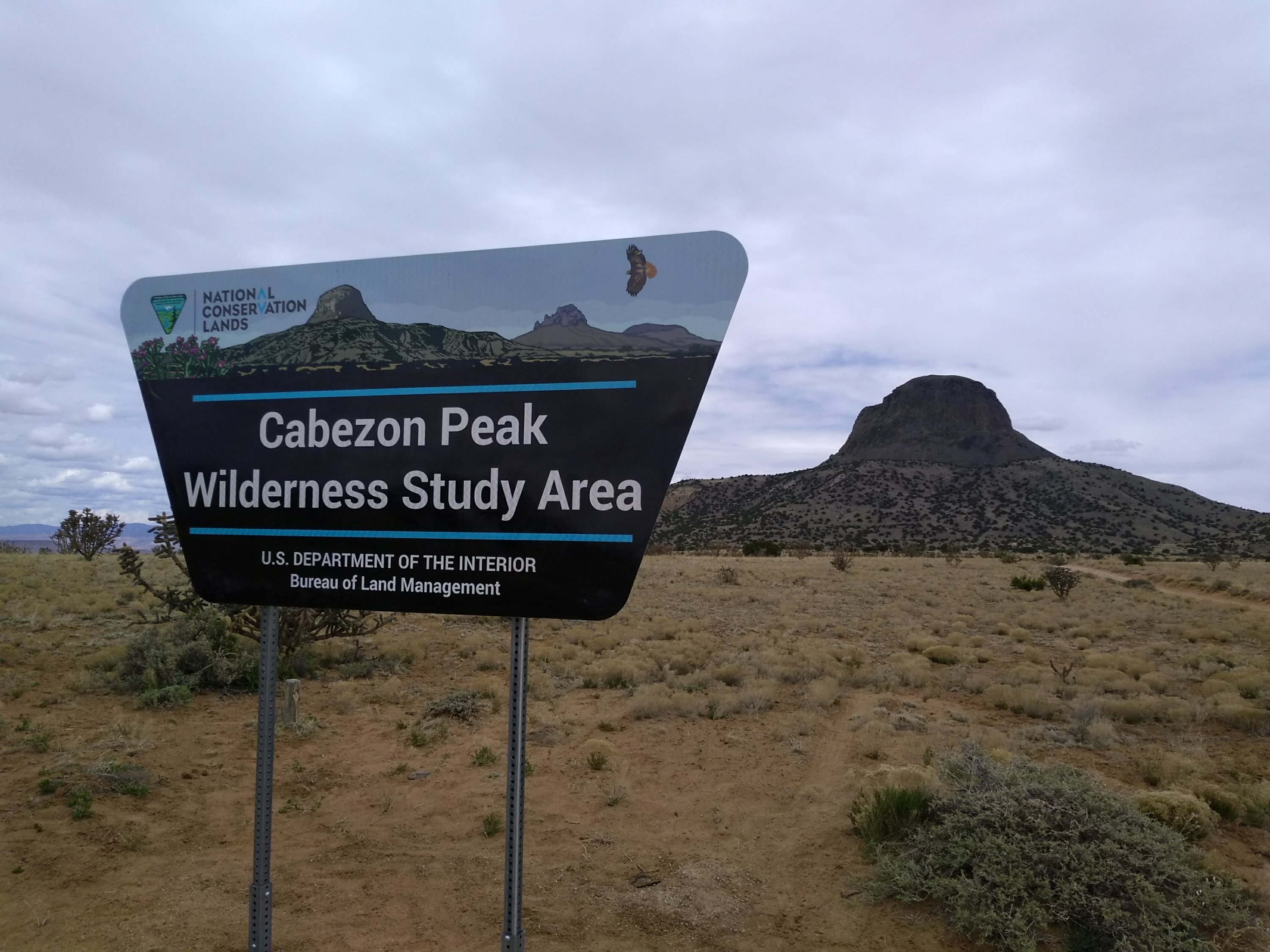
With the arrival of hot weather this week it was time to change our preferred hiking locations. The desolate areas of the Rio Puerco Valley have recently provided us some excellent hikes, away from the crowds and at lower elevations, just right for springtime temperatures. But with upper 80’s in today’s forecast, hiking in the mountains is what came to mind. Since it’s Saturday, though, we knew the local trails in the Sandias would be too crowded. Fortunately, without driving too much farther we can find pleasant mountain hiking in the San Pedro Parks Wilderness.
This is one of New Mexico’s oldest wilderness areas, created in 1964 as part of the Federal government’s original Wilderness Act of 1964. The area had first been set aside by the Forest Service as a Primitive Area in 1931. The word “Parks” was commonly used in the American West to refer to an area of open grassland hidden amongst forests at higher mountain elevations. The average elevation at San Pedro Parks is 10,000 feet and it averages 35 inches of precipitation a year–much more than what we generally see anywhere else in the state.
Most of the precipitation is in the form of snowfall and we saw that today. Because the Nacimiento mountain range is rounded and not jagged high peaks, when you look at them from the valley, it isn’t obvious that there could be unmelted snowbanks up there. Our planned hike was an out and back on the Las Vacas Trail. There were many cars at the trailhead but we knew that most of the people would only be going as far as the San Gregorio Reservoir, a popular spot just a mile up the trail. This was earlier in the season than the other times we have hiked there and we were pleasantly surprised at the amount of water in the lake and stream. It was challenging to avoid the muddy spots as the trail went along the lake and then to find a way to get across Clear Creek at the point it empties into the lake.


After passing the lake the trail follows Clear Creek to an intersection with another trail near a meadow which we knew would be a good lunch spot and turnaround point. We couldn’t quite make it, though, to the intersection. The snowbanks along the creek were in heavily shaded areas and got deeper and deeper as we approached the meadow. We tried climbing higher up the rocky slopes next to the creek where the snow had melted but finally decided to just make do with eating our lunch in one of the open sunny spots before heading back down.


If we would have made it to one of the meadows we might have seen more flowers. The two varieties we did see, Candytuft and Buttercups, were few and far between but, given all the other beauty around us, I have no complaints about the day. We knew we had picked the right place for today’s hike in pleasant 70 degrees when we got back to Albuquerque and saw that the temperature had reached a record-breaking 90 degrees here.