Warm Weather and Sunshine, at Last!

It didn’t look promising Monday morning when we crossed the border of Texas and arrived in New Mexico.

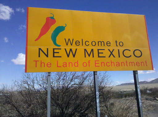
Having lived for 20 years in New Mexico, I had fond memories of the warm weather and 300+ days of sunshine a year. In New Mexico I knew that we wouldn’t experience a solid week of gray, overcast skies like what we had left behind in Austin. But what I hadn’t counted on was that March in New Mexico can bring windstorms with cold and blowing dust and that’s just what awaited us. A late winter snowstorm had moved through Arizona on Sunday and the effects of the cold and wind were evident, even down in the southern part of New Mexico. Fortunately, it didn’t take too long for the weather to warm back up and today was a perfect 70 degrees, no clouds and no wind.

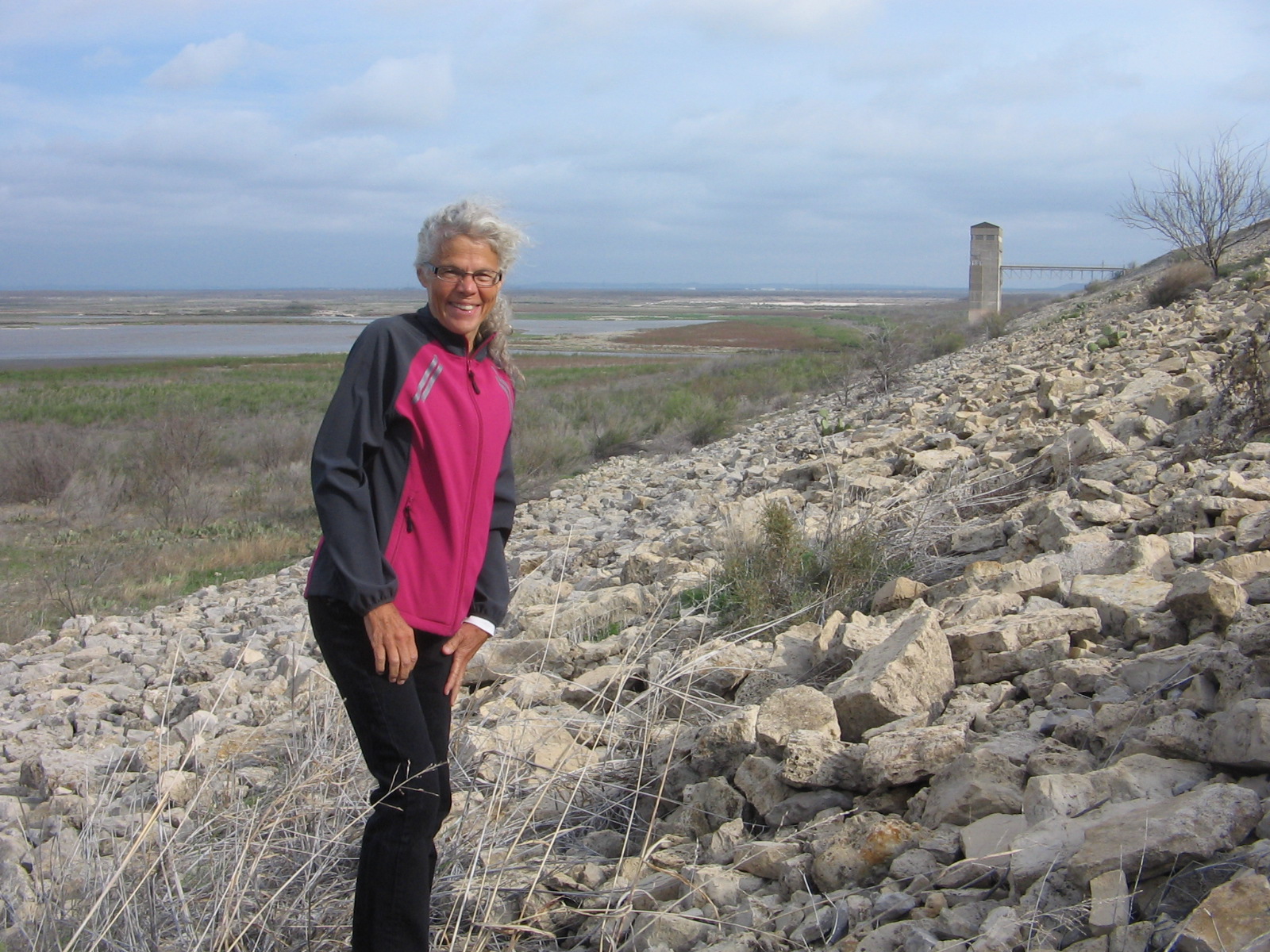
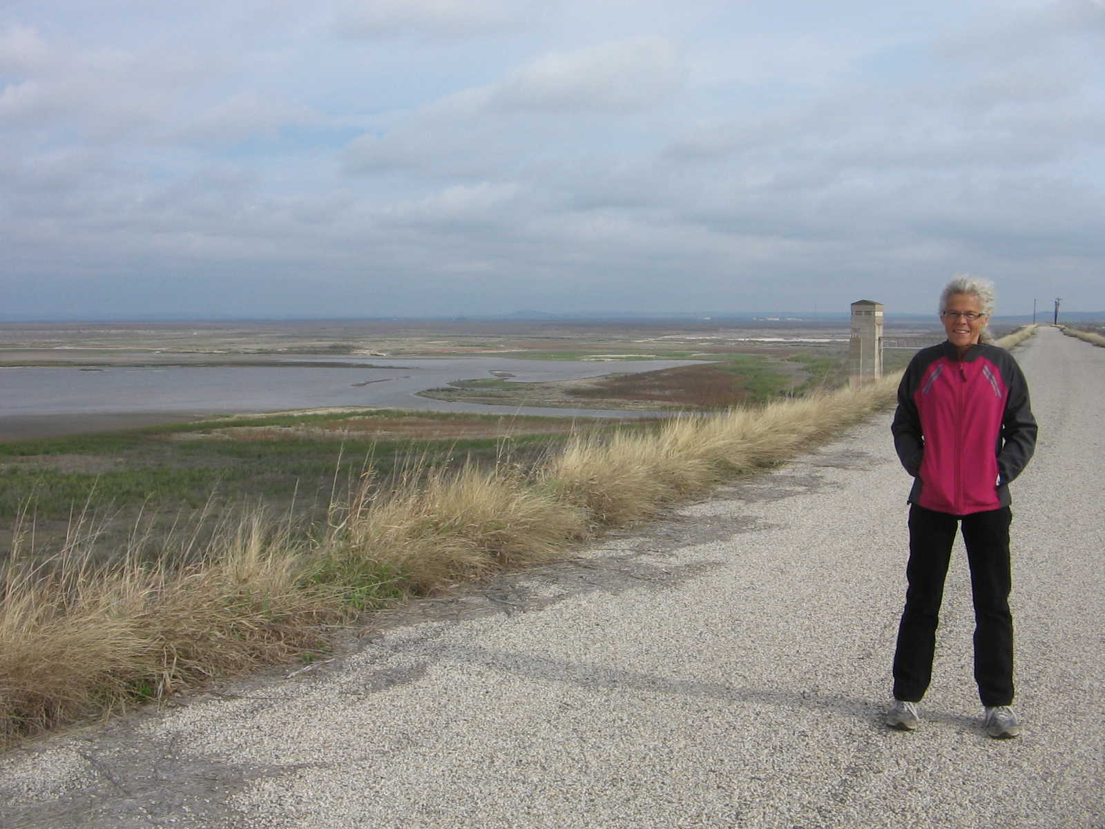
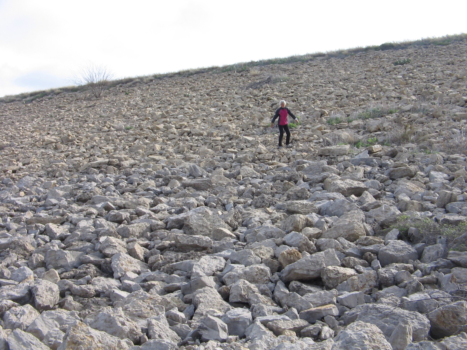
Our first stop Monday in New Mexico was in the city of Las Cruces. We visited the Mesilla Valley Bosque State Park for the opportunity to walk along the Rio Grande River. Sadly, there was very little water in the river.

Rio Grande River at Mesilla Valley Bosque State Park

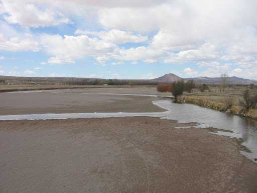
I don’t remember ever having seen the river that dry. The Rio Grande is the continent’s second largest river and plays a vital role in transforming barren desert into fertile land for farming. The Ganges River of India is the only river in the world that is more heavily used for irrigation.

As we continued our drive northward in New Mexico from Las Cruces the route basically paralleled the river. The further north we went the more I began to understand that all was not lost, as far as what had seemed to be a dried up river. The key is the management of what water there is by regulating how much is allowed to flow from the source in the Colorado mountains to the mouth in the Gulf of Mexico 1,885 miles away. There is snow yet to melt in the mountains and, hopefully, there is enough snowmelt that when the floodgates are opened at Elephant Butte Dam the dried up places we looked at downstream will again have water.

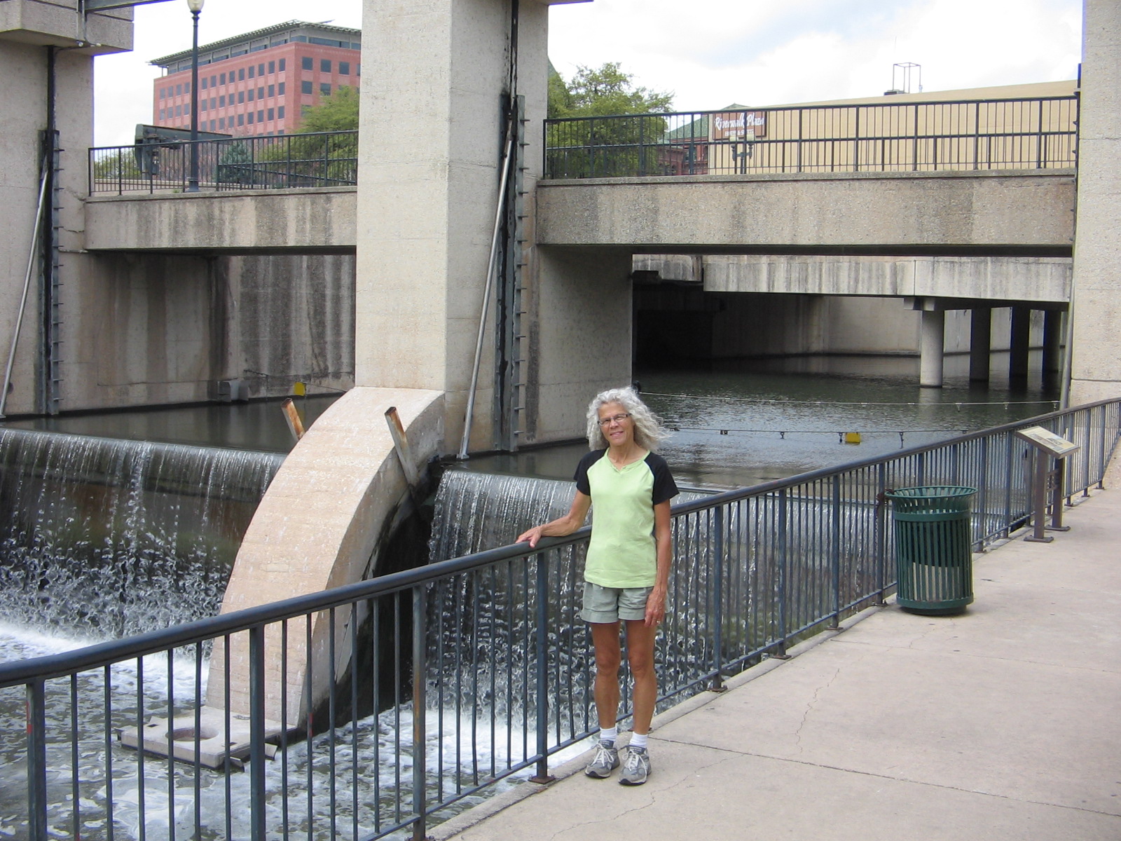
In Albuquerque, where we arrived on Wednesday, we were happy to see that there is a lot more water in the river. We were told that things are more dry than normal, but it did look a lot better when we walked along the river at the Rio Grande Valley State Park. Rio Grande River at Rio Grande Valley State Park in Albuquerque

Bosque Trail at Rio Grande State Park. A bosque is a clump or grove of trees like the ones here.

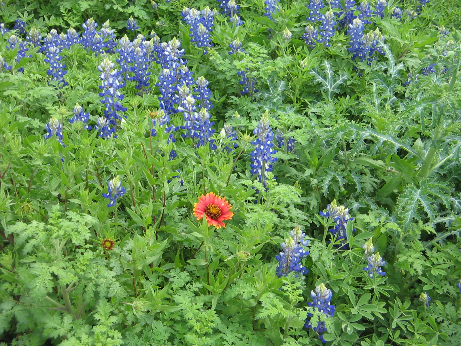
Spring is only beginning here in Albuquerque. We’ve seen forsythia, redbud and bradford pear trees blossoming, but trees like the cottonwoods here don’t yet show any signs of green.

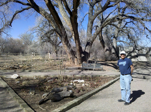
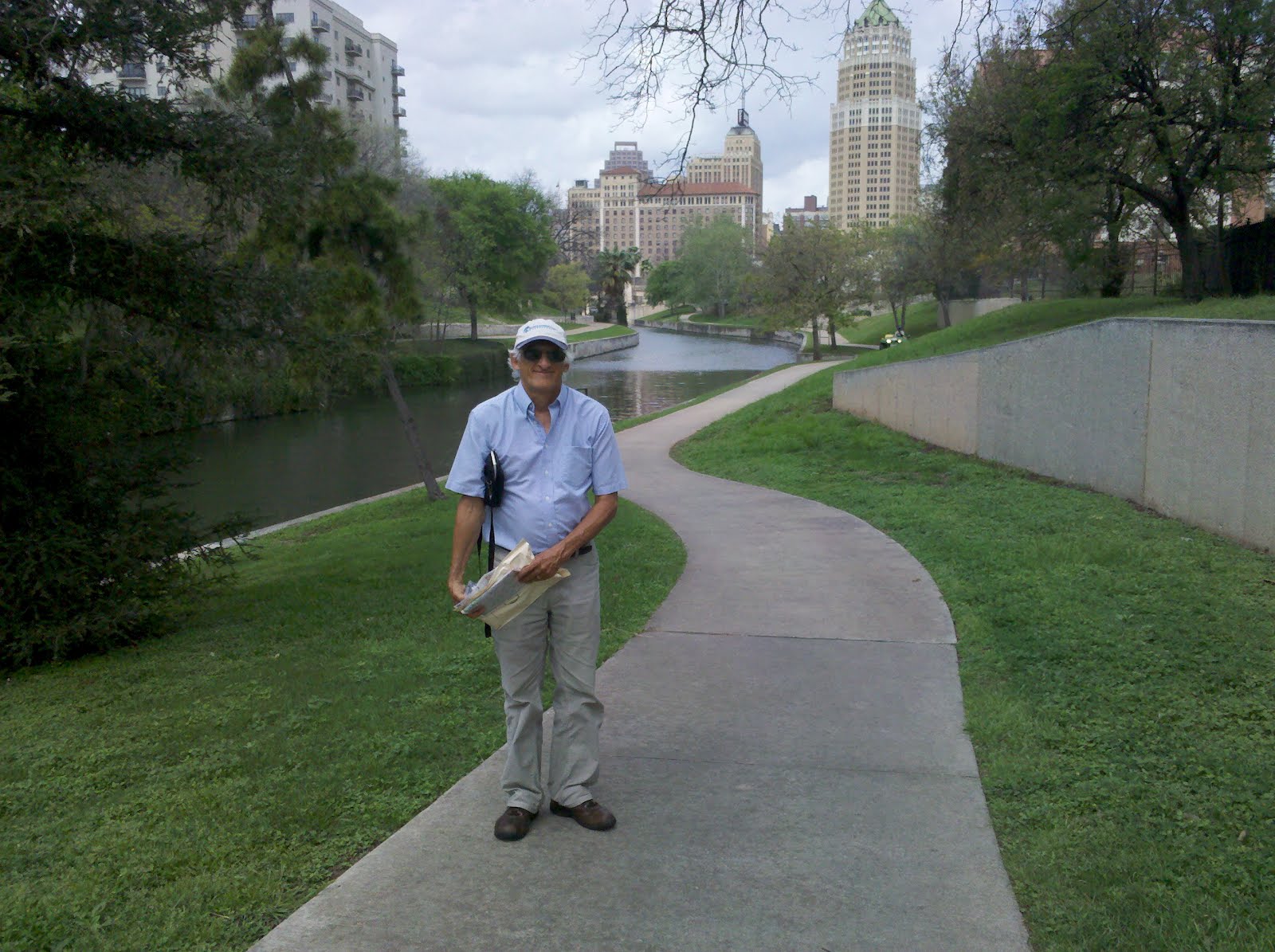
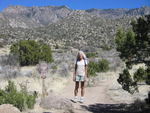
We are staying in the Albuquerque area for the next two weeks and are excited about the opportunities for activities that we enjoy. We have a bike map of the city and there are a number of good trails to explore. There are also many hiking trails in the Sandia Mountains just east of the city. Today’s perfect weather gave us the opportunity to do a short hike in the foothills of the Sandias and then later in the day a bike ride on one of the city trails.

Hike in Sandia foothills

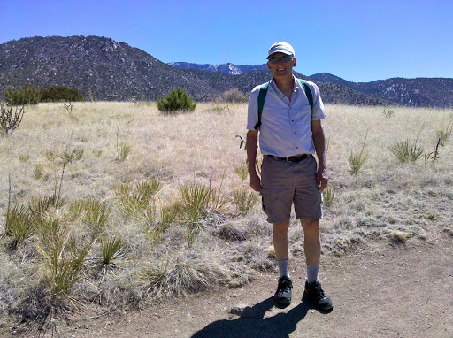
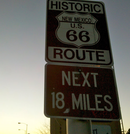
Our hotel is on Central Avenue, which once was part of the famous cross country highway Route 66. When we are in the mood for some nightlife we need to follow it back down towards the city and check out the historic vintage neon signs that they say still are there along the route.

The journey continues.

Leaving Austin

We enjoyed our week stopover in Austin, but checked out of the hotel Saturday and continued our westward progress across Texas. A couple of days before we left Austin, we spent an afternoon sightseeing in nearby San Antonio. After all, one wouldn’t want to leave this part of Texas without a visit to the Alamo.

Besides seeing the Alamo, San Antonio’s famous River Walk is another must see. We checked out restaurants and shops there, selecting a Mexican restaurant as our lunch stop, where my lunch was a plate of delicious tamales.

Along the River Walk in downtown San Antonio

Nueva Bridge dam. Several dams, locks and a flood control tunnel have been built in the San Antonio River Walk area over the years to control the amount of water flowing in the River Walk area.

River Walk downstream from Nueva Bridge dam on the way to King William Historic District.

Hemisfair Park with Tower of Americas in background. The park was built when San Antonio hosted the World’s Fair in 1968.

Saturday as we drove west and north out of Austin, our goal was the city of San Angelo. This took us through the heart of what is known as Texas Hill Country. One of the attractions in this area each spring is the abundance of wildflowers that grow along the roadsides. On one of our bike rides in Austin I had enjoyed the beauties of bluebonnets in blossom along the bike trail. But I had no idea what was in store for us on our drive through “The Bluebonnet Capital of Texas.” I have never seen so many wildflowers in my life. I kept thinking each place along the road was the best so far and I just had to tell Lee to stop there so I could get one more photo. Of course, it seemed every time I wanted to stop there was a pickup truck or car right behind us. To prevent a traffic accident we had to wait for another opportunity. As the day progressed we began to see that we weren’t the only ones who were stopped along the road at various places out in a patch of flowers trying to get a good picture. There was just no way to capture all of it but here are a select few.

Roadside Bluebonnets

Winecup with Bluebonnets

Indian Blanket Flower with Bluebonnets

White Prickly Poppy with Bluebonnets

The springtime spectacular that we got to enjoy on our drive to San Angelo was a sharp contrast to our “sightseeing” in San Angelo. We had looked at a map and knew that there were a couple of lakes in the area, the Concho River that flowed through town, and a reservoir outside of town with a state park. We made plans to camp at the state park. What we hadn’t realized was that this part of Texas has not recovered from several years of severe drought conditions. The reservoir at the state park has shrunken to about 1% of it’s original size. The dam that created the reservoir is huge and hovers over the whole state park but there is no water for the dam to control. Ironically, it had been built after a 1936 flood that washed away homes and businesses on both sides of the river. It was completed in 1952 at the latter part of a seven-year drought. Scoffers joked about building a big lake in a place where it never rained. The first and last time that the lake filled was in 1957, after a tropical depression stuck over Texas, caused statewide flooding. Sadly, its current state of dryness is not the first time that it has dried out.

Climbing the side of the dam at San Angelo

View from the top of the dam

Making the descent from the dam

The other unforeseen circumstance in our San Angelo campout was the open barrenness of the tent camping area combined with last night’s strong spring winds.

Our poor tent whipped and flapped all night long as it was battered by the winds that gusted continually. In dismantling the tent in the morning we weren’t fast enough after we pulled up the stakes and a gust of wind grabbed it, tumbled it over and one of our tent poles snapped. Before we left town we found an outdoor store where we bought a tent pole repair kit. But we knew we wouldn’t be camping tonight. We are in a hotel room in Fort Stockton, Texas. Lee spent a good part of the evening working on repairs, and depending on tomorrow’s weather, we may get to try out his repair job by attempting another campout.